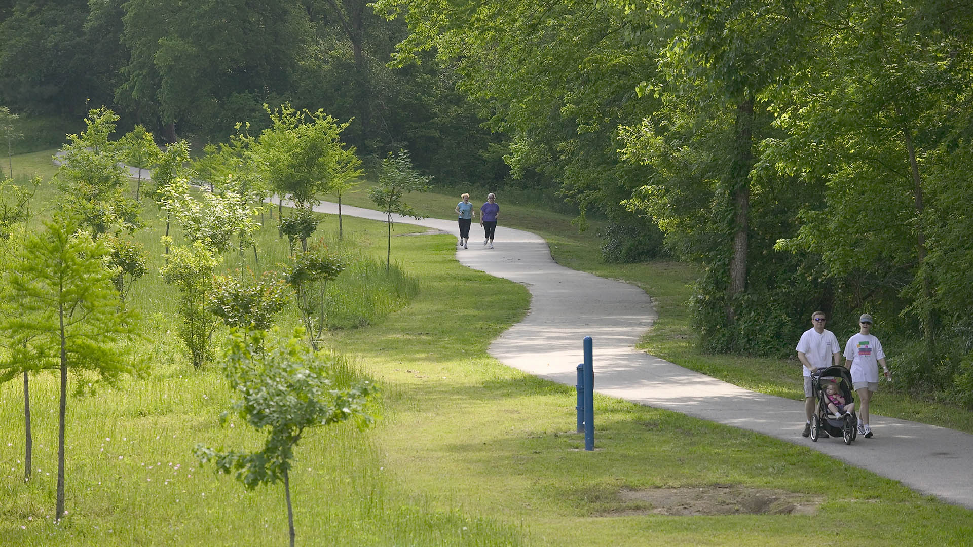
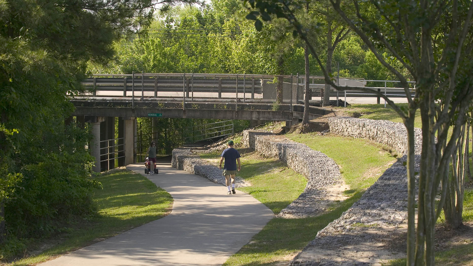
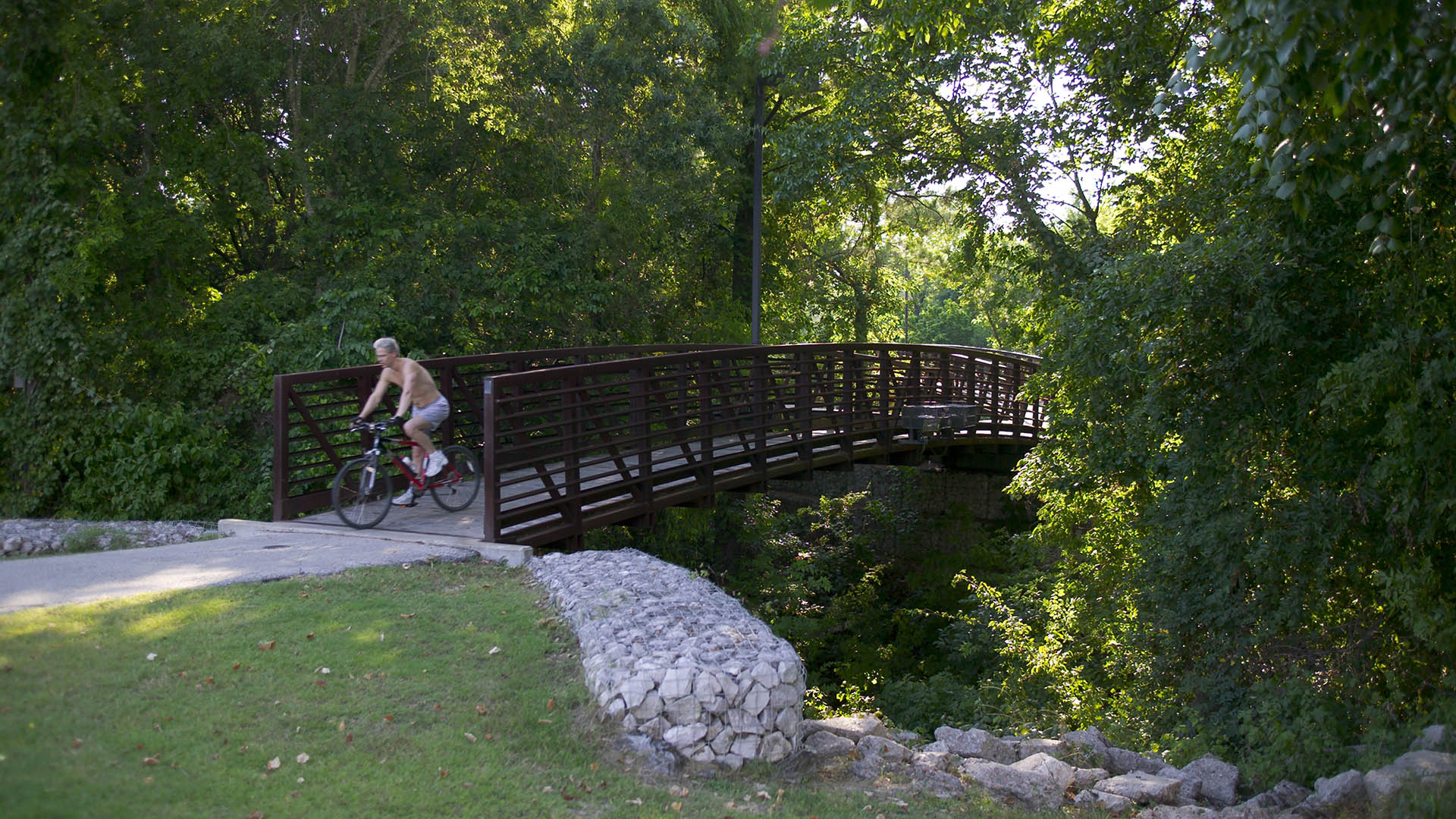
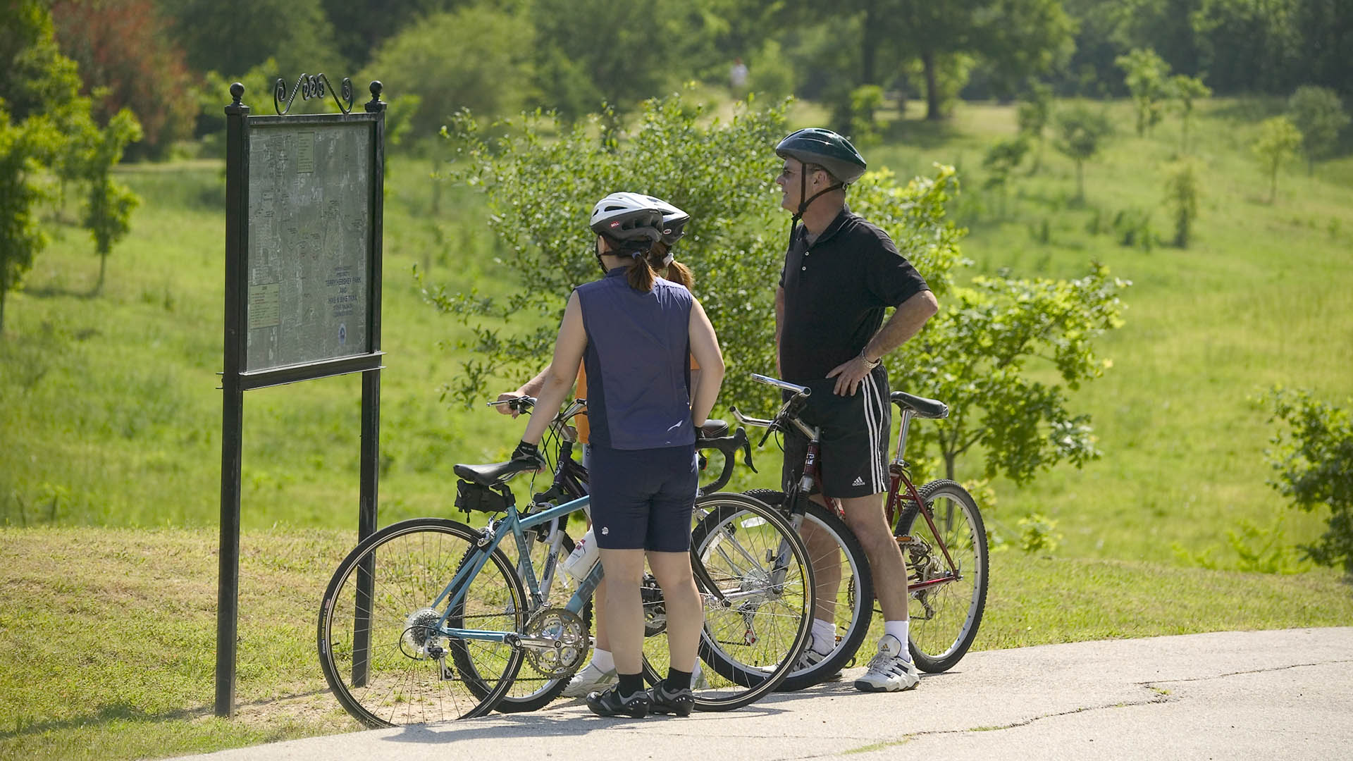
The park design includes a one-mile hike and bike trail system, a pedestrian underpass linking the park to an existing trail system, bridges over the creek, and automobile parking. Gabions were used as an environmentally friendly means of slope retention in a floodway and as a tool for creating places for people to enjoy the wooded environment. Sinuous banks and vegetation masses soften the edges and a trail meandering through stands of pine and oak replaces the former service road. Meadow areas for passive recreation are found in the center of the site while edges are allowed to grow up in shrubs and trees. The project required coordination and approval of Harris County Flood Control District, the U.S. Army Corps of Engineers, Houston Lighting and Power, the City of Houston, and three pipeline interests.
Golden Shoal Riverfront Park
Located along Chongqing’s Jialing River, this new linear public park offered unique challenges: a 30-meter annual river fluctuation, steep topography, and low-impact maintenance of a continuous riparian corridor. Adjacent new urban development, with attendant needs for green space, called for a flexible and resilient approach to the park’s landscape and infras...
Pellier Park
In the heart of downtown San Jose, the first of three new SWA-designed parks celebrates the plum tree and agricultural origins of Silicon Valley. The site is a registered California Historic Landmark and the original nursery of Louis Pellier, known as “ The Prune King’ who introduced the French Prune to the Valley in 1856 and sparked the orchard boom in Calif...
Halperin Park
Halperin Park (previously known as Southern Gateway Park) caps Highway 35 in South Dallas directly adjacent to the Dallas Zoo and the Oak Cliff neighborhood. The park’s design effectively reconnects the neighborhood, which was cleaved by the highway’s construction many decades ago.
Recognizing the reunification’s significance, the cap park design introd...
South Waterfront Greenway
A bold new plan for the area along the Willamette River includes a 1-1/2 mile extension of the City’s downtown’s parks and the reclamation of the river’s edge for public recreation. Working closely with the City of Portland, developers, and natural resource advocates, the design team devised a rational plan that places access and activity in targeted nodes wit...


