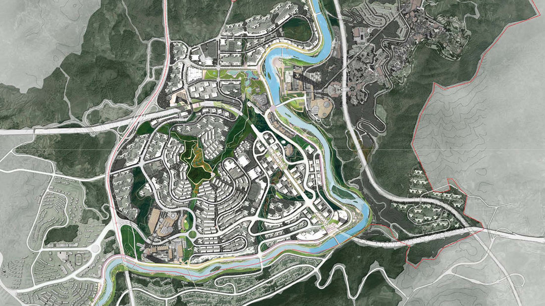
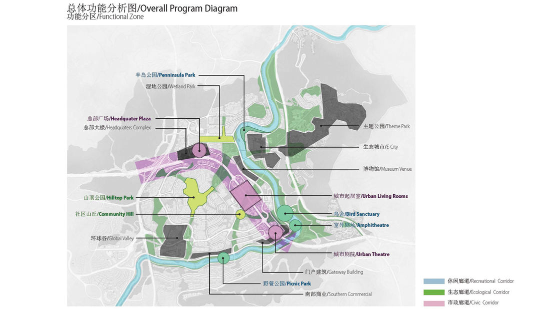
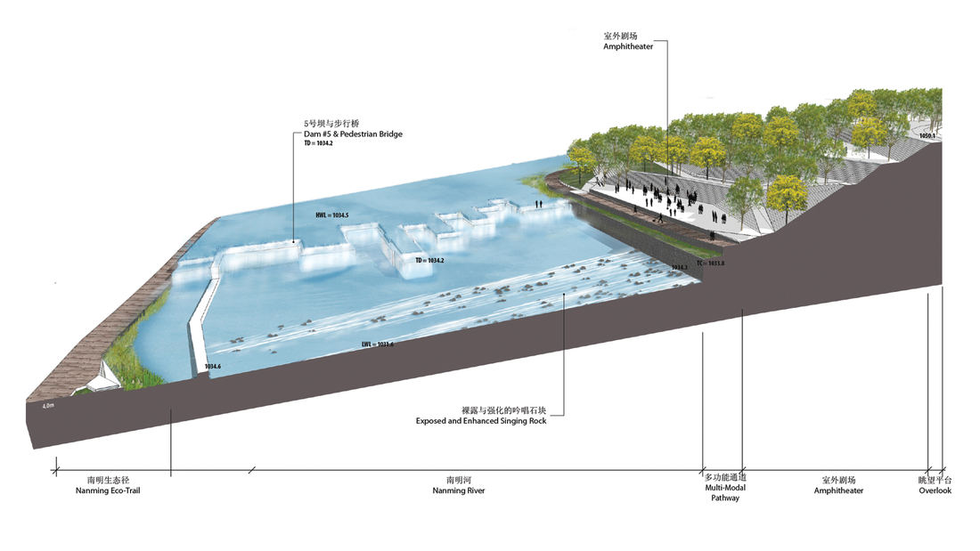
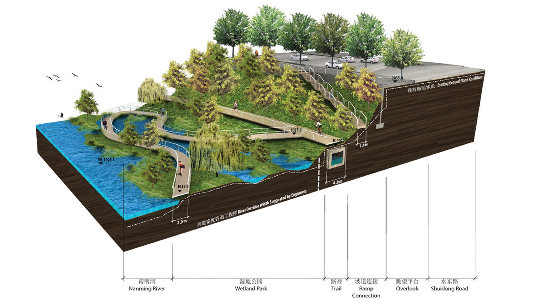
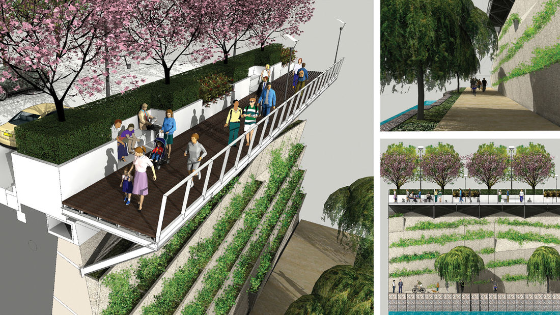
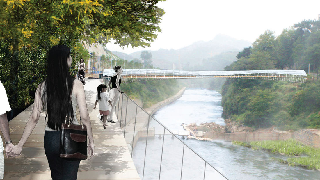
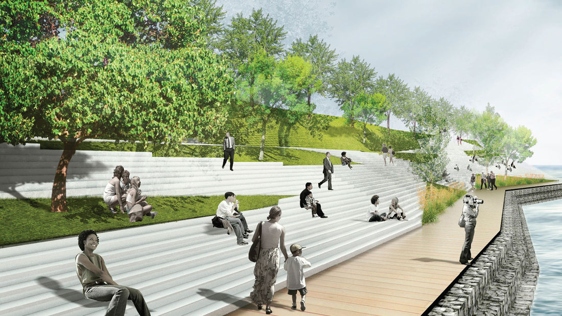
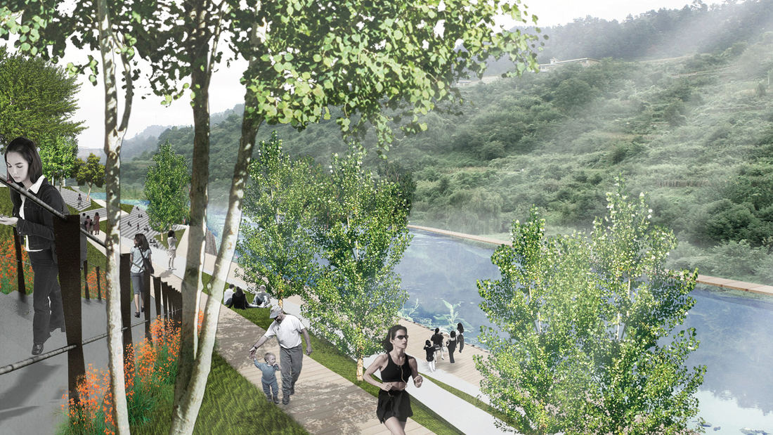
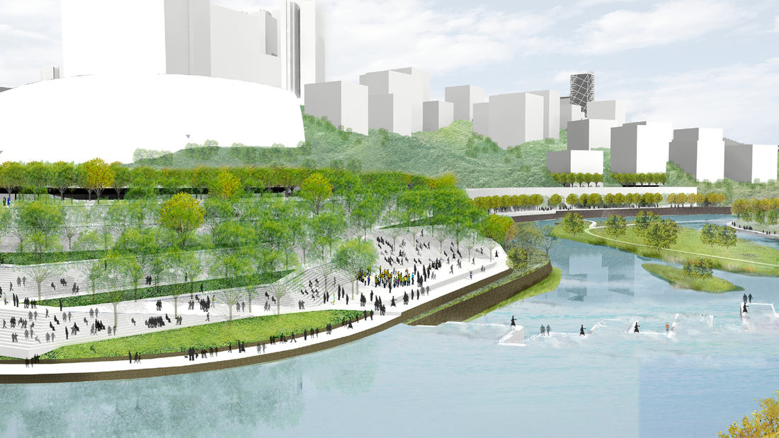
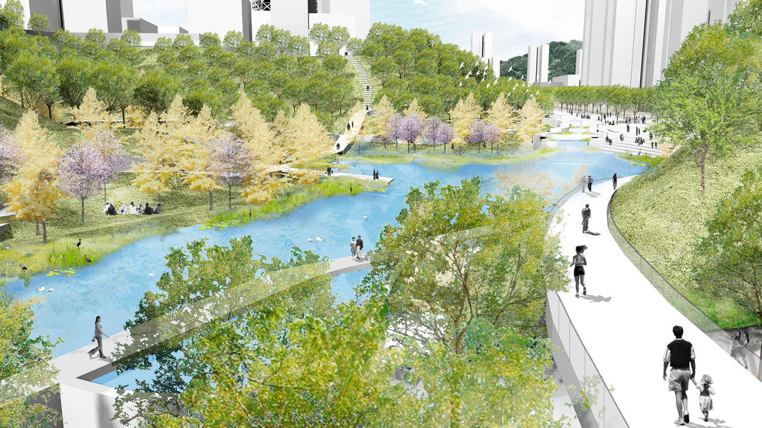
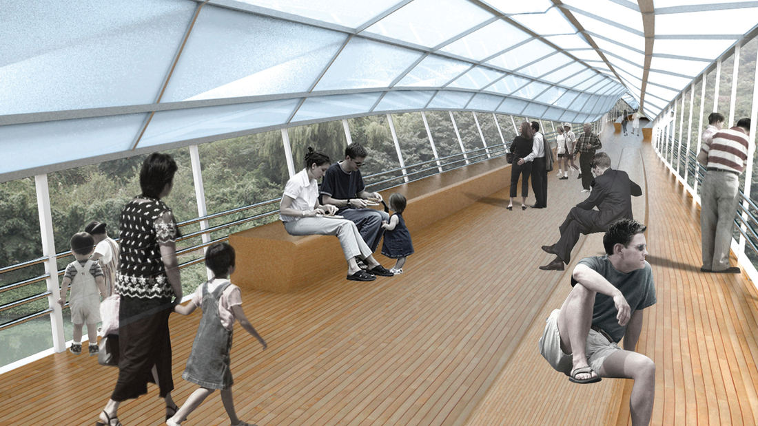
Guiyang Hot Springs, located in Guiyang City, China, brings together the rhythm of the Nanming River, and surrounding trails and trees to create a new urban ‘living room’ in the interstitial space created by new development and roadway infrastructure. Nestled into a mountainous site, the master planning addressed elevation changes of up to 100 meters and the existing relationship of its topography and watersheds connected with the river. The vision incorporated a strategy to preserve ecological corridors while allowing for future development and tourism. The Phase 1 design uses the natural landscape framework and pathways along the river valley to guide a new circulation artery and community parks, emulating the concept of a flowering river. Linear terraces for green corridors reveal expansive views, while harboring varying habitats and facilitating ecological growth without extensive intervention. The subtle manipulation of the land creates seasonal creeks which change dynamically and reinforce the ecological and environmental habitat. The circulation network is accessible to pedestrians, bicycles, cars and boats, forming a major transportation system along the ten-mile river. Based on the rhythms of movement, water and trees, the design for Guiyang Hot Springs provides a natural respite within an urban environment that gives a corridor of community space to the people of Guiyang.
The Camellias Garden
The Camellias Garden is inspired by the verdant green gardens of India and the petals of one of Asia’s most beautiful and vibrant native plant species: the camellia flower. These blooms’ flowing curves and lines are interpreted within the Garden’s design, drawing residents of these 16 luxury apartment towers out into the landscape and offering the sense of bei...
Park 101
The ambitious Park 101 aims to cover part of downtown Los Angeles’ 101 Freeway with a multi-purpose park that will include playgrounds, seating, festival areas, and a plaza. The approximately four-block cap park will reconnect the two sections of Downtown that have long been separated by the freeway, greatly enhancing the currently noisy, with much-needed shad...
Buffalo Bayou Smith to Travis Streets Trail Segment
This effort in Downtown Houston extends the Buffalo Bayou trail system eastward with the Smith to Travis Trail, connecting two historically significant sites: Sesquicentennial Park and Allen’s Landing, where the city was founded. It is a technically challenging segment located twenty feet below street level that traverses under multiple roadway bridges crossin...
Alief Park and Neighborhood Center
Located in West Houston, the Alief Neighborhood Center and Park serves one of the city’s most diverse communities. Over 90 languages are spoken in Alief, which is home to first-generation immigrants from across the world and refugees from as far away as Vietnam and close as Louisiana—especially in the wake up Hurricane Katrina, when many families made a ...


