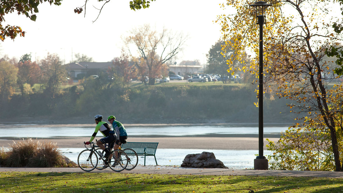
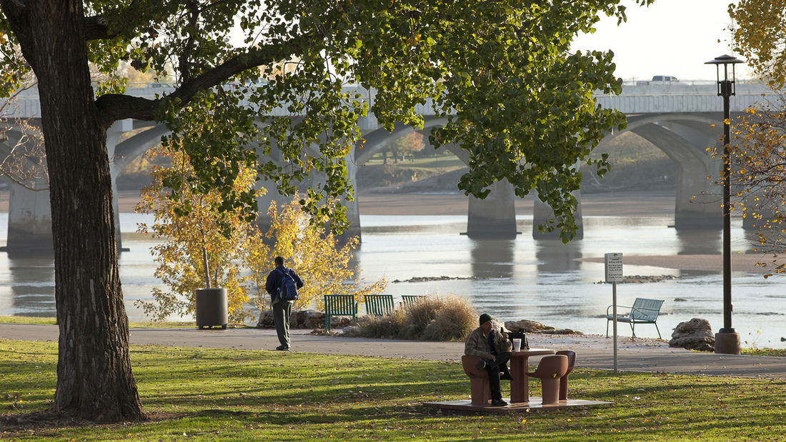
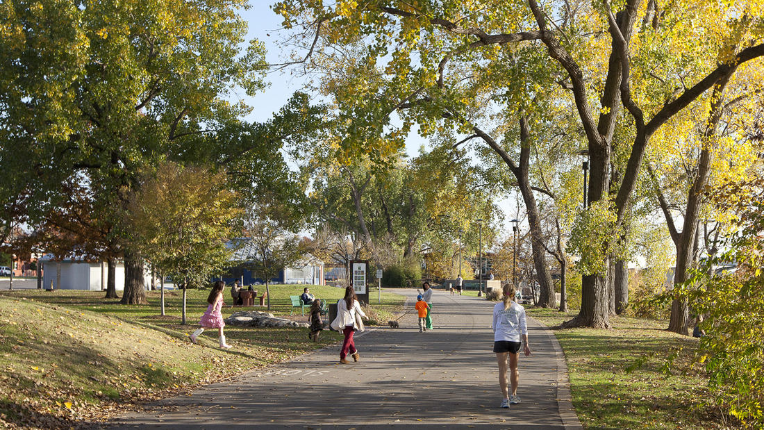
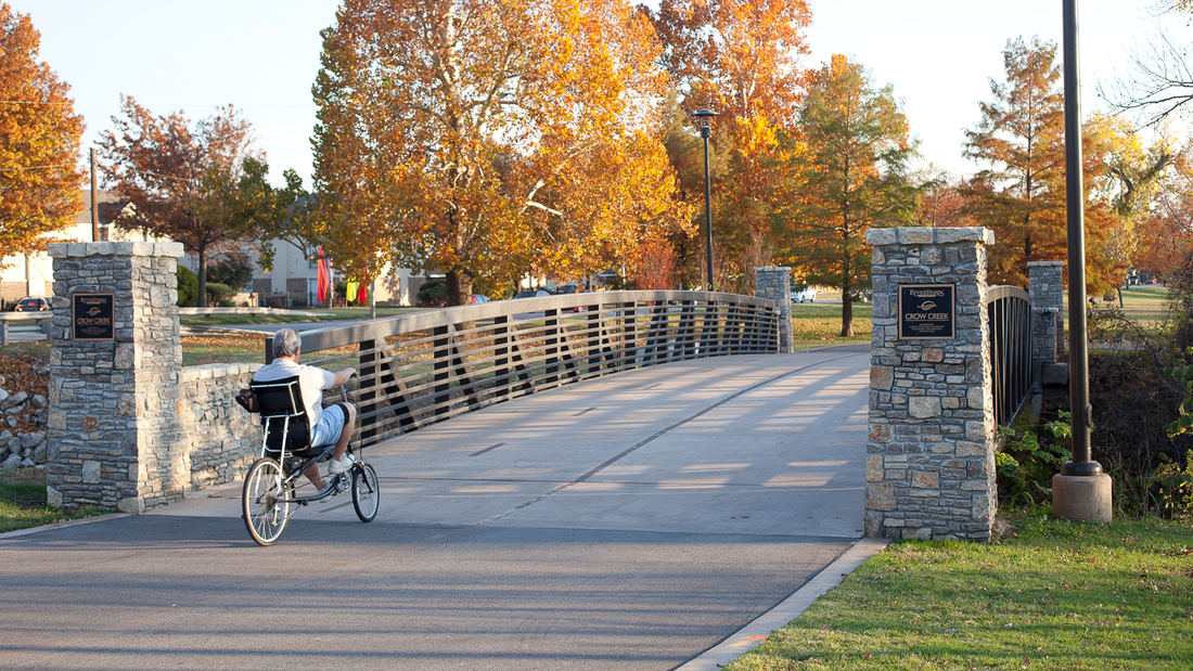
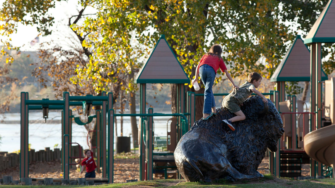
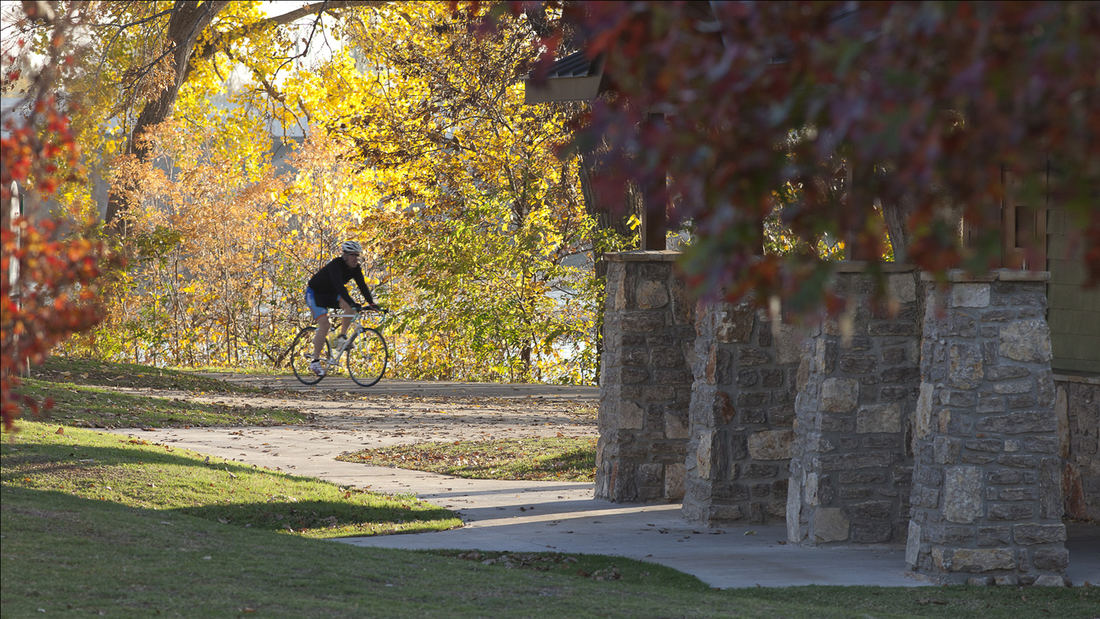
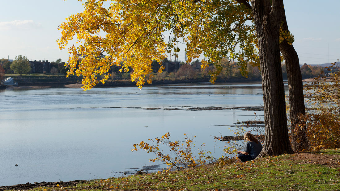
SWA directed conceptual studies for incorporating a landmark residential estate, a multi-family housing complex and a creek corridor into the adjacent Arkansas River waterfront of Tulsa, Oklahoma. Recently acquired by a local community foundation, the total 64-acre area features sweeping lawns and a historic home that provides much-needed space for the city’s popular River Parks system.
The design concepts explore options for realigning, submerging, and bridging over Riverside Drive in order to connect adjacent neighborhoods to trails and open space along the river, including the recently constructed and SWA-designed 41st Street Plaza and refurbished trails.
Waterside activities will include a whitewater-kayaking venue, launching for other small boats, and pedestrian plazas. A children’s discovery museum will create a regional attraction within the estate area, with pavilions clustered within the wooded perimeter to maintain the signature open lawn area. Existing multi-family housing will be intensified, with recommendations for additional property acquisition to extend trail connections to other city neighborhoods and destinations.
Tunica River Park
In 1990 the Mississippi Legislature legalized gaming as a job and tax creation strategy. Tunica, located at the northern border of the state near Memphis, Tennessee, was the first county to adopt gaming as an economic development strategy and implemented a program of rapid growth. The first casino was completed in 1992 and eight more were opened during the nex...
Nelson Mandela Park Master Plan
Identified by the City as one of its “Big Five” open space projects, the conceptual master plan for Nelson Mandela Park will create a much-needed central open space for the city’s south district, an industrial area along the waterfront that is home to a growing and increasingly diverse population. Here the city seeks to transcend its current park paradigm of l...
Guiyang Hot Springs
Guiyang Hot Springs, located in Guiyang City, China, brings together the rhythm of the Nanming River, and surrounding trails and trees to create a new urban ‘living room’ in the interstitial space created by new development and roadway infrastructure. Nestled into a mountainous site, the master planning addressed elevation changes of up to 100 meters and the e...
Moji Mountain Park Master Plan
Moji Mountain, one of the most distinctive symbols of Yichang, now boasts the city’s largest public open space. The 120-hectare park is located along the banks of the Yangtze River, and has a rich historical connection to both the river and the city. De-forested in the past for agricultural uses, the mountain’s slopes have been replanted and now support a new ...


