

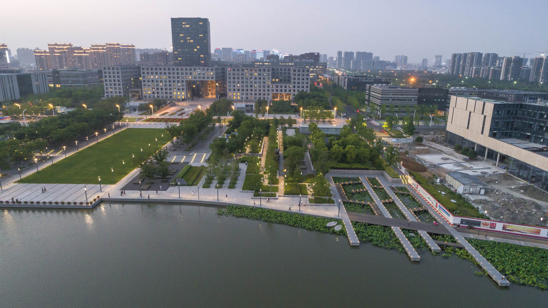
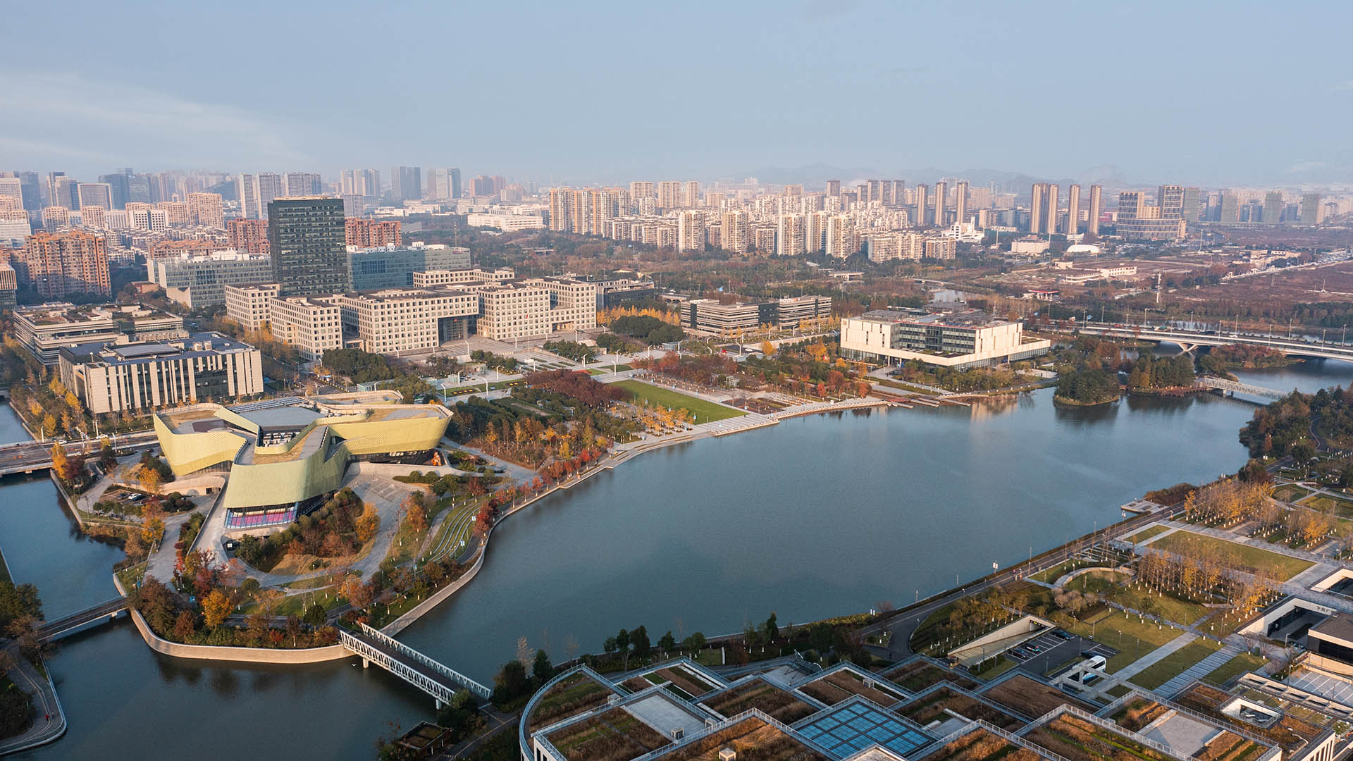
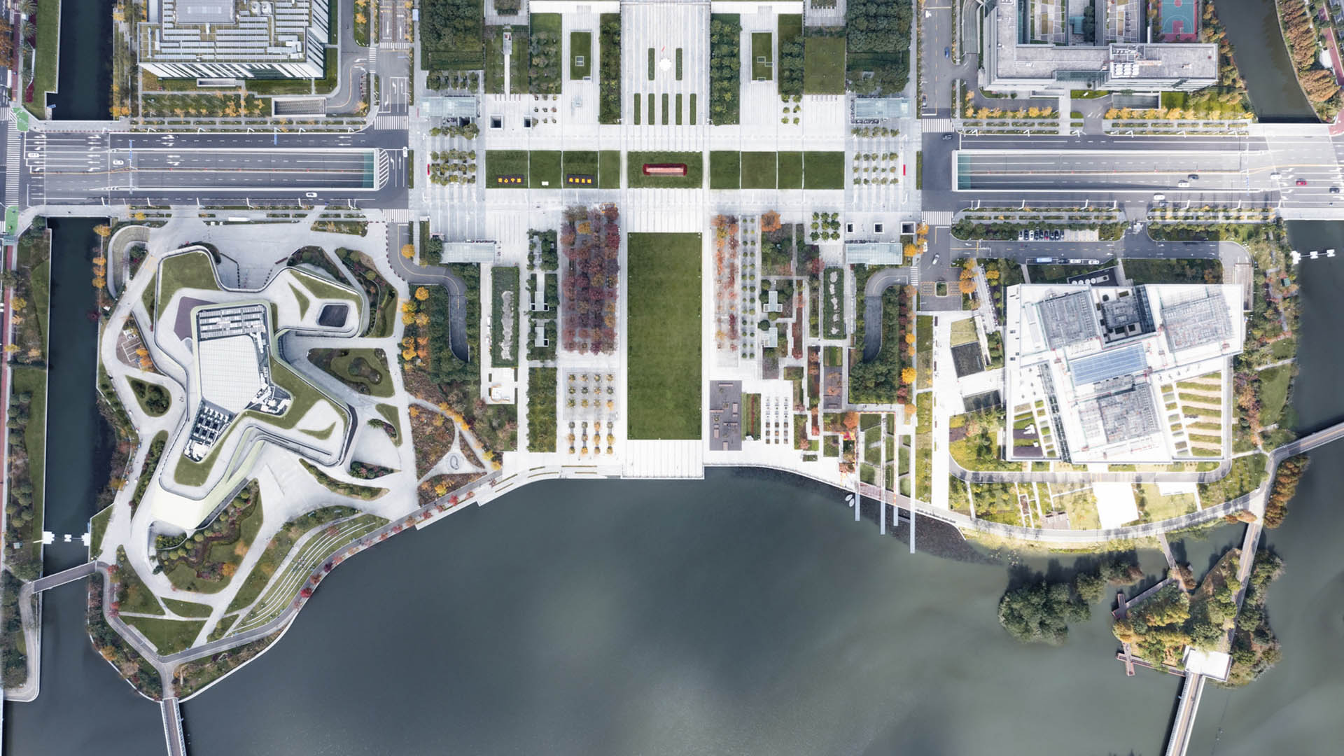

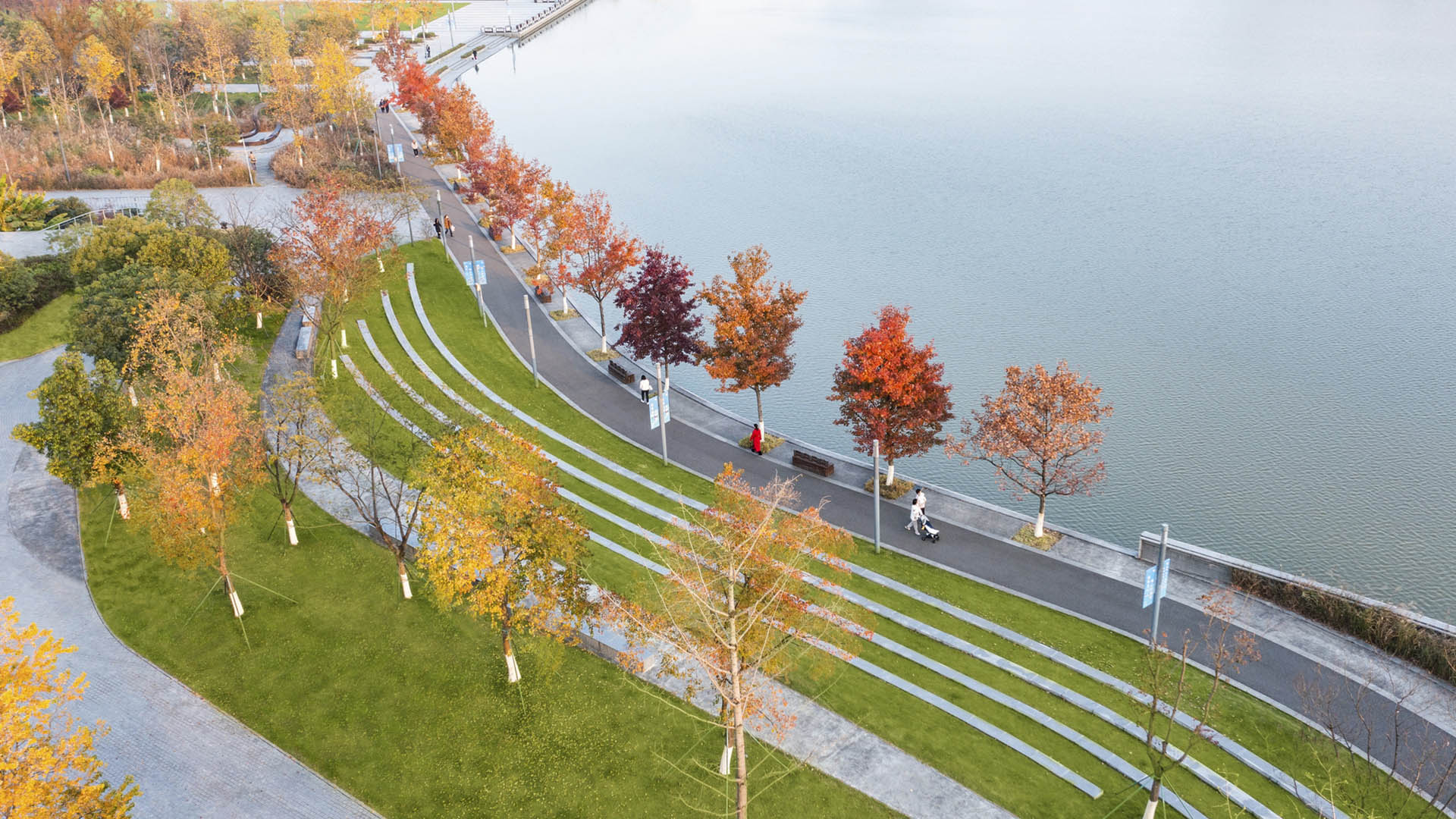
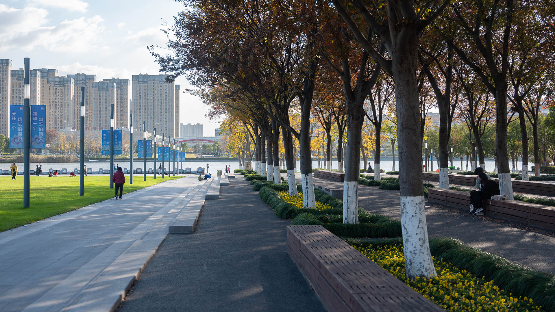
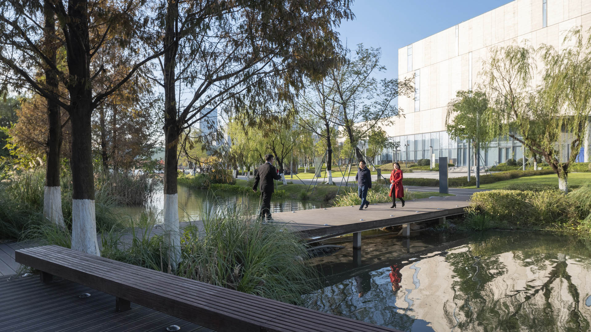
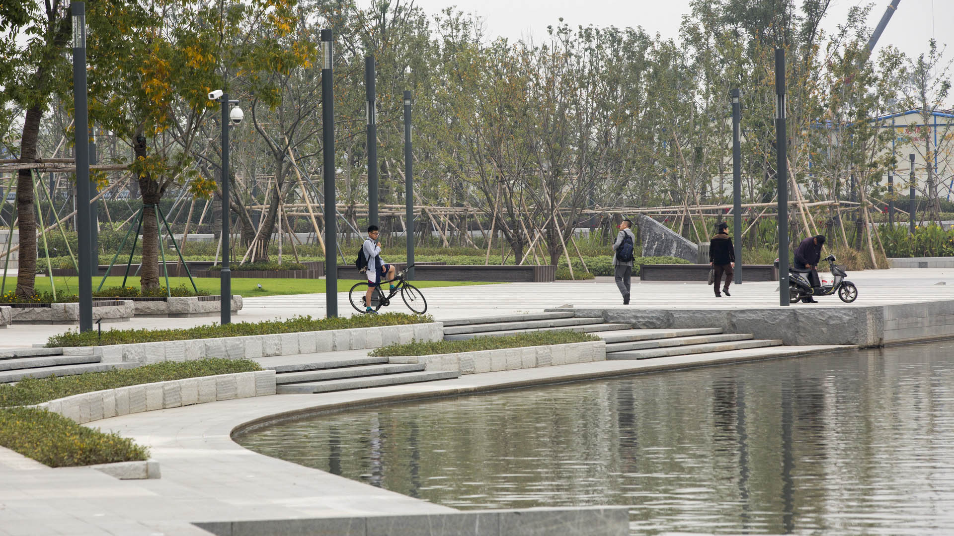



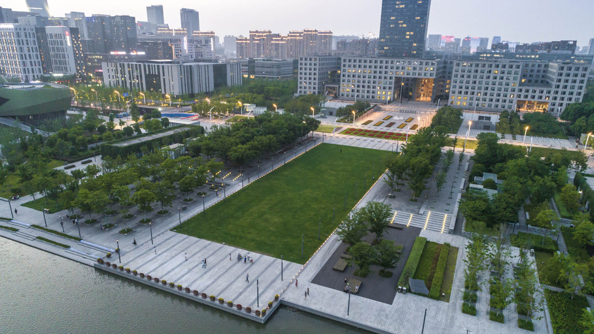
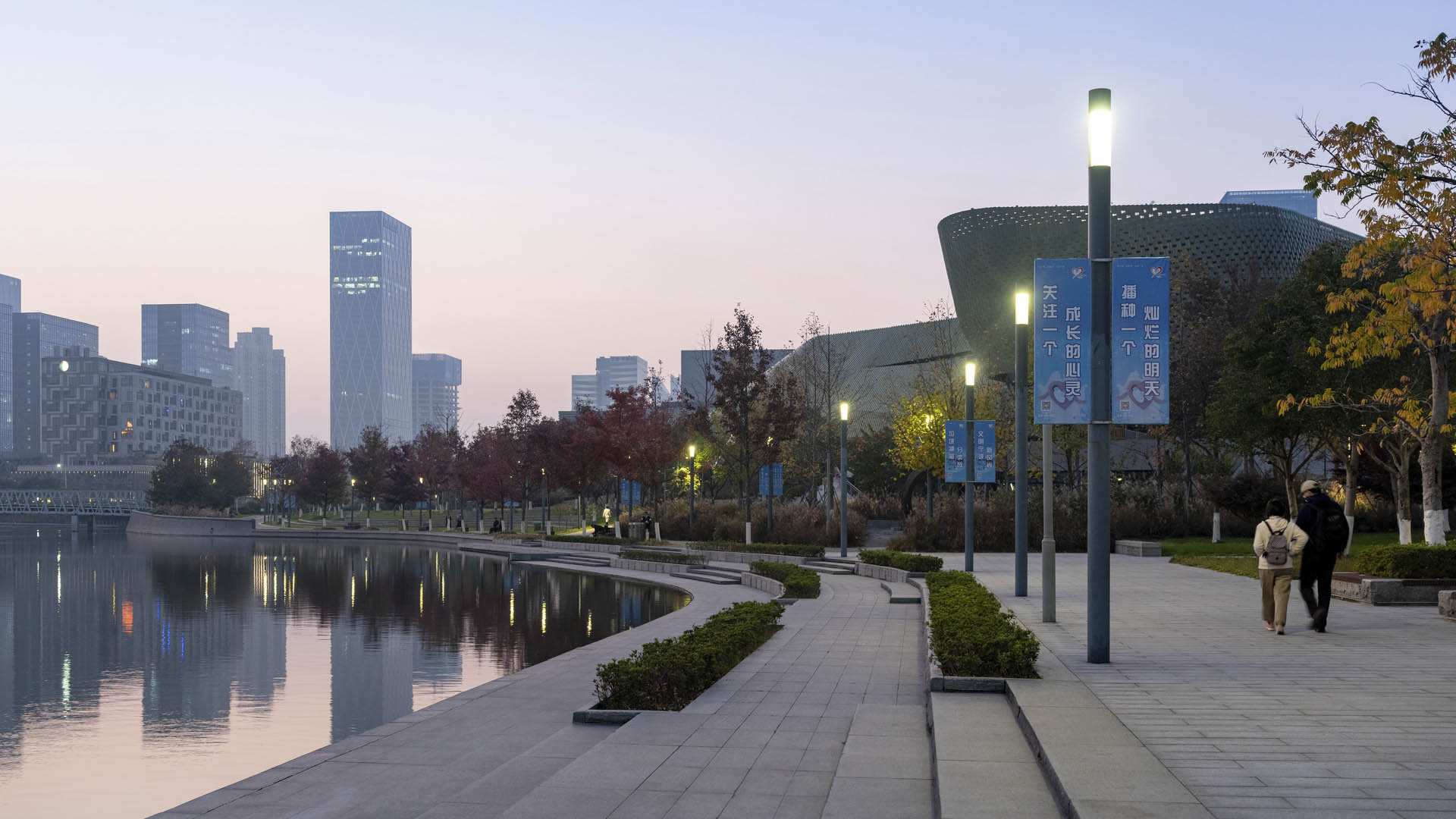
As an extension of the Ningbo East New Town Government Center, this civic plaza extends the geometry and ecology of SWA’s past work in the city. A central civic axis runs from the government buildings to the Dongqian Lake edge, providing a large, flexible gathering/event space adjacent to an expansive lawn as well as sweeping views of the water. Per city planning guidelines, the lake required a hard edge to the west of the main axis. This takes the form of a wide terraced stair that establishes spaces for viewing and relaxation, while also acting as a geometric and spatial extension of the Planning Museum and its associated outdoor spaces.
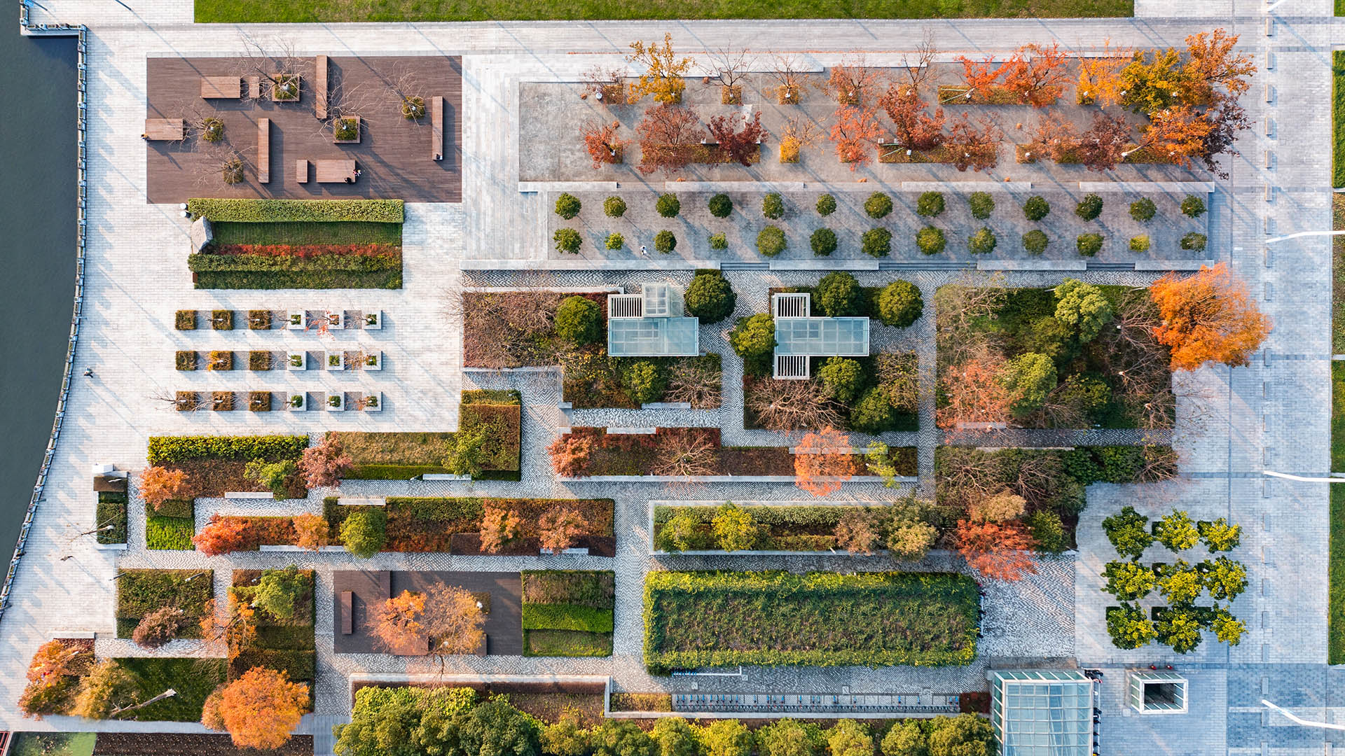
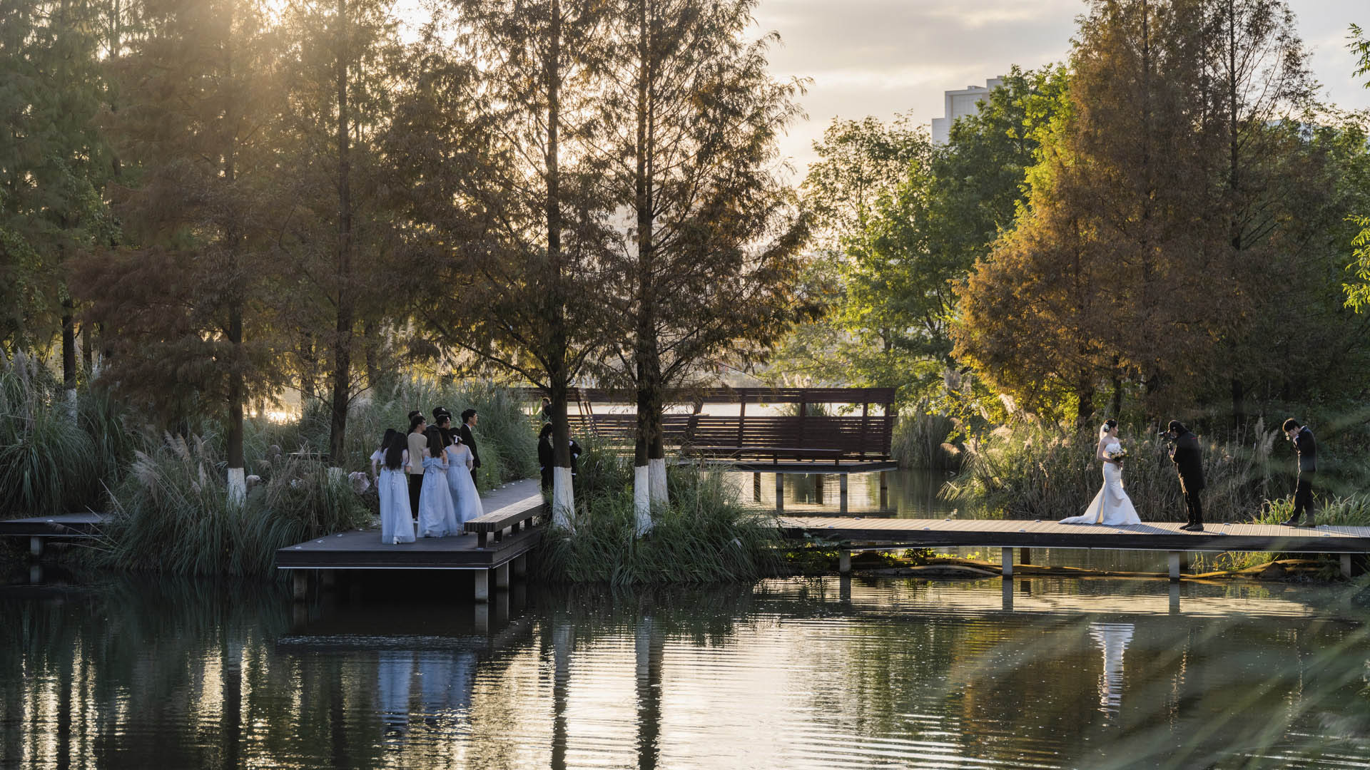
Just to the west of the main lawn, a formal tree bosque occupies a partially sunken garden, lined with terraced seating and surfaced in decomposed granite. The easternmost part of the lake edge traces an organic irregular shape surrounded by lush and varied aquatic plantings, blending seamlessly into the eco-corridor site to the east. A secluded cluster of islands provides wildlife habitat, incorporating birdwatching blinds along a wooden boardwalk. Taken in total, the design creates a unique landscape experience to serve as a driving principle for the city’s ongoing development.
Amber Bay
The Amber Bay residential development is located on a beautiful rocky promontory that is among the last available parcels along the Dalian shoreline, southeast of the city center. The project features high-end low density modern style residential development including single family villas, townhouses, and low-rise condominiums; shops and seafood restaurants on...
Dubai Expo 2020
From October 2021 to April 2022, the City of Dubai hosted the World Expo: a large-scale International Registered Exhibition that brings nations together with universal themes and immersive experiences. It comprises an entirely new city, built on a 1,083-acre site between Dubai and Abu Dhabi. The Expo site is organized around a central plaza linked to three mai...
Hunter's Point South Waterfront Park
Hunter’s Point South Waterfront Park was envisioned as an international model of urban ecology and a world laboratory for innovative sustainable thinking. The project is a collaboration between Thomas Balsley Associates and WEISS/MANFREDI for the open space and park design with ARUP as the prime consultant and infrastructure designer.
What was once a ba...
Fuyang Riverfront
Seizing the area’s reputation for “one of the best mountain and water views in the world,” the natural framework along both sides of the Fuchun River inspires this plan integrating urban spaces with landscape to create a harmonious skyline. Fuyang flourishes with economic prosperity while honoring its vibrant cultural heritage.
The scope includes urban d...