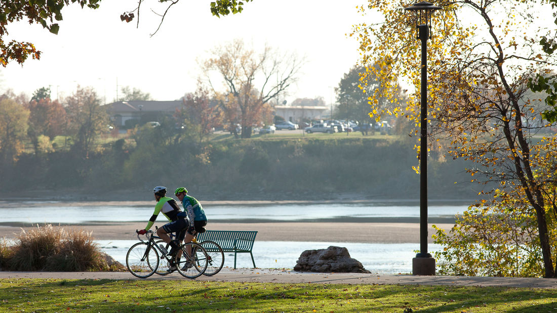
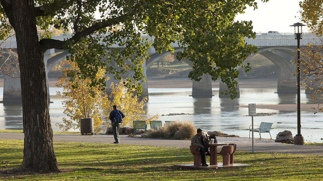
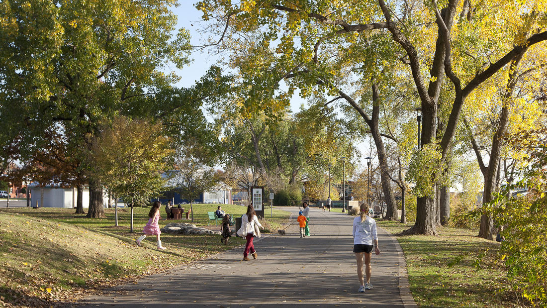
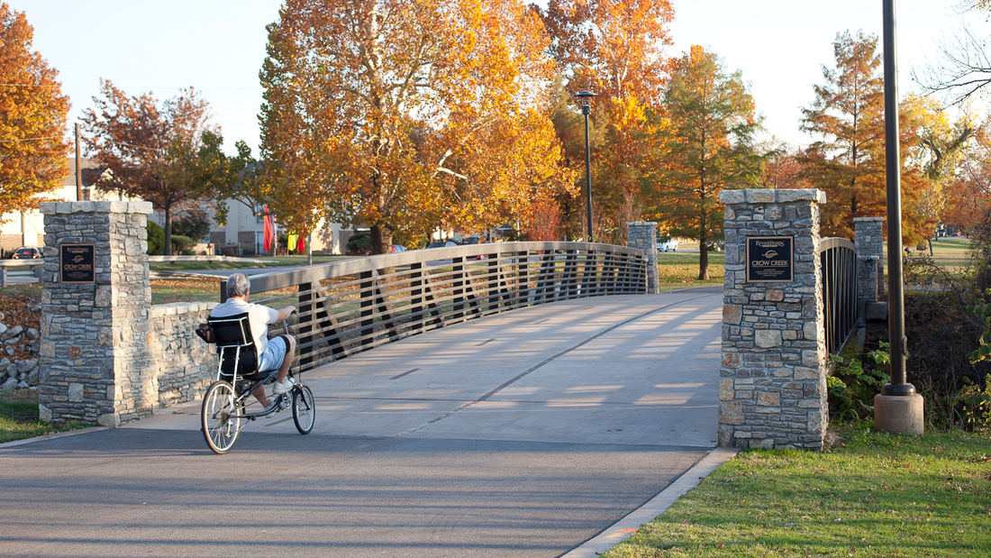
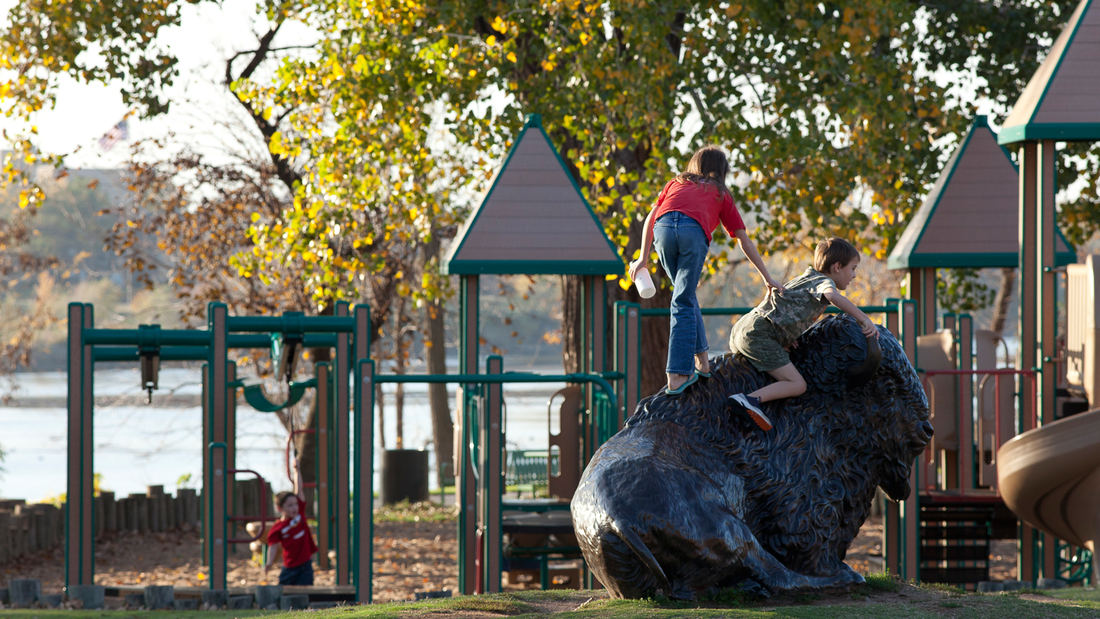
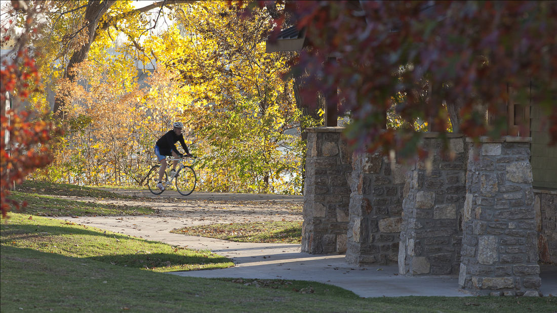
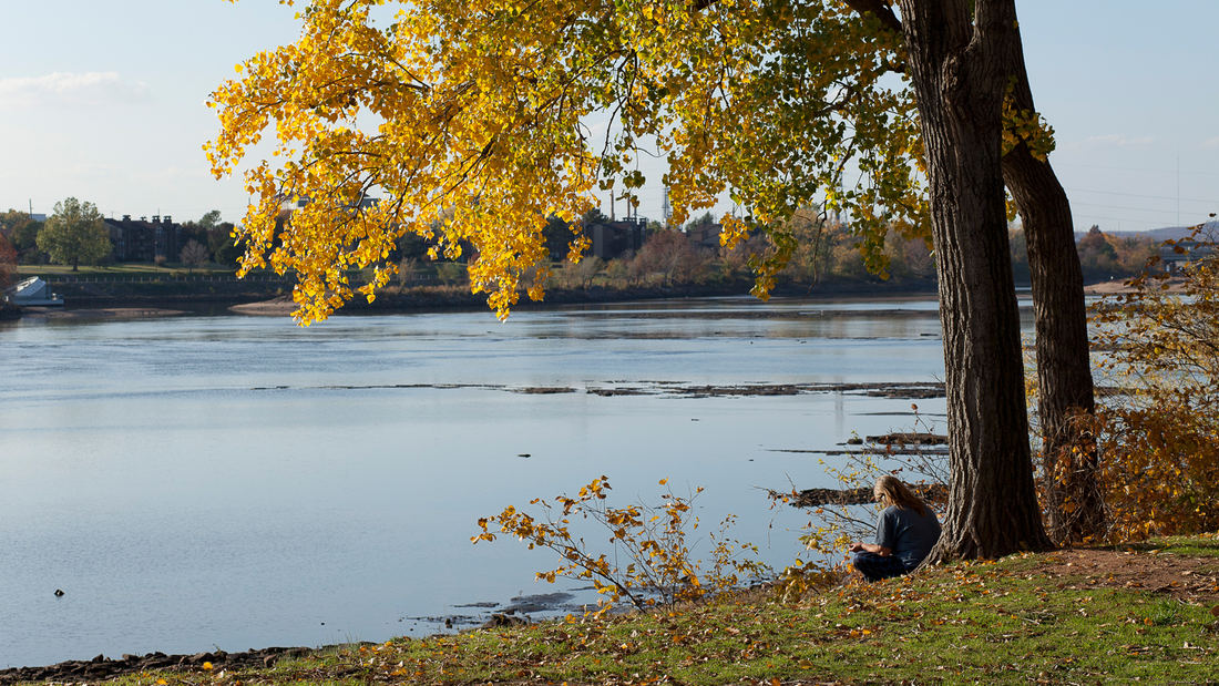
SWA directed conceptual studies for incorporating a landmark residential estate, a multi-family housing complex and a creek corridor into the adjacent Arkansas River waterfront of Tulsa, Oklahoma. Recently acquired by a local community foundation, the total 64-acre area features sweeping lawns and a historic home that provides much-needed space for the city’s popular River Parks system.
The design concepts explore options for realigning, submerging, and bridging over Riverside Drive in order to connect adjacent neighborhoods to trails and open space along the river, including the recently constructed and SWA-designed 41st Street Plaza and refurbished trails.
Waterside activities will include a whitewater-kayaking venue, launching for other small boats, and pedestrian plazas. A children’s discovery museum will create a regional attraction within the estate area, with pavilions clustered within the wooded perimeter to maintain the signature open lawn area. Existing multi-family housing will be intensified, with recommendations for additional property acquisition to extend trail connections to other city neighborhoods and destinations.
Perk Park
Originally completed in 1972, this vestige of IM Pei’s urban renewal plan was built when the street was seen as a menace and parks turned inward. Rolling berms surrounded the edges and the sunken middle areas were filled with concrete retaining walls. After years of decline, Thomas Balsley Associates’ designed a plan to reunite the community with its park. The...
Baton Rouge Lakes
The 275-acre Baton Rouges Lakes system is a series of six lakes in central Baton Rouge adjacent to Louisiana State University, three major parks, and a diverse mix of neighborhoods. Recognizing opportunity in crisis, a newly funded master plan provides sound ecological restoration methods that will heal a dying lake system while reconnecting the region to its ...
Ningbo East New Town Civic Plaza
As an extension of the Ningbo East New Town Government Center, this civic plaza extends the geometry and ecology of SWA’s past work in the city. A central civic axis runs from the government buildings to the Dongqian Lake edge, providing a large, flexible gathering/event space adjacent to an expansive lawn as well as sweeping views of the water. Per city plann...
Longgang River Blueway System
The Shenzhen Longgang River Blueway System is envisioned to unlock the tremendous land value of this 13-mile-long suburban watershed and galvanize the city’s future growth. SWA’s proposal addresses urbanization issues pertaining to water, the environment, and open space shortage, while also activating industrial and cultural revitalization in the surrounding d...


