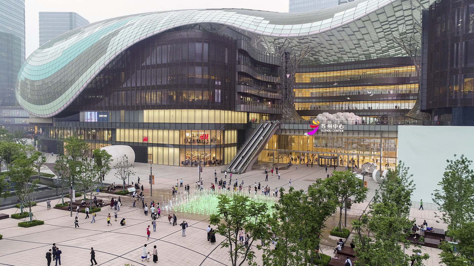
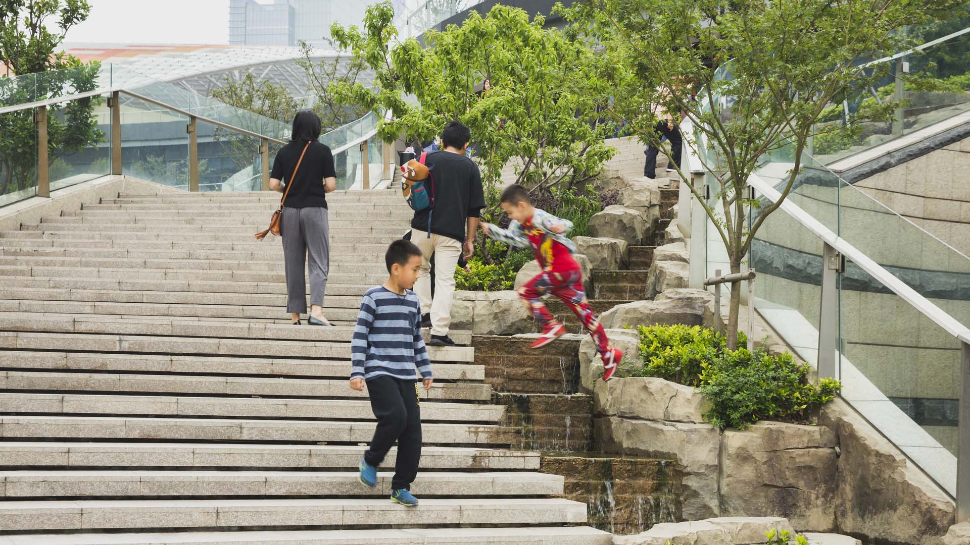
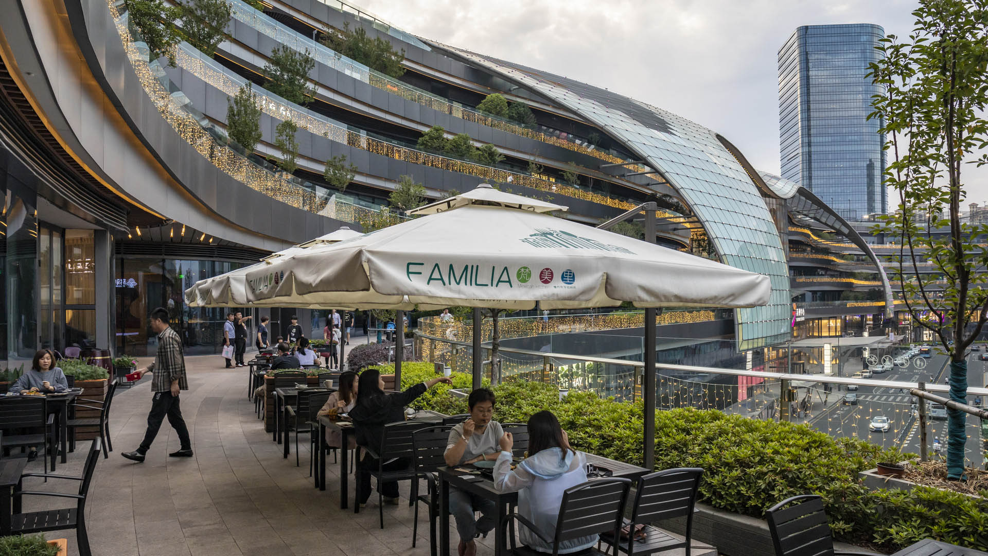
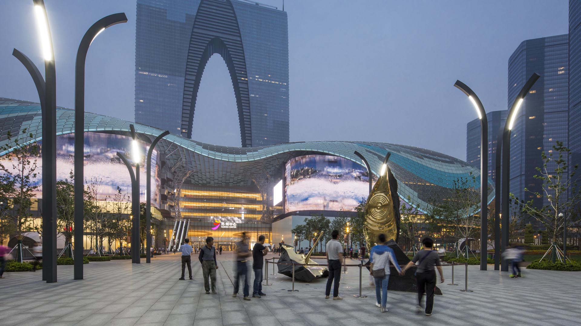
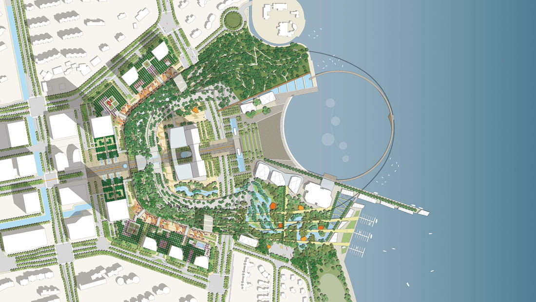
The Suzhou Center is a landmark urban space within the Suzhou Central Business District that embodies the spirit of the city of Suzhou as a gateway for intersecting old and new cultural and historic heritage. The successful combination of high-density development and ecological conservation will allow for Suzhou to transition to a garden city where state-of-the-art sustainable development measures epitomize responsible urban development. Through consistent planning of public open spaces and the high-quality landscape around Jinji Lake, the urban landscape of the Central Business District will be seamlessly linked to the waterfront open spaces, creating a unique environment in which natural greenery is in harmony with the urban setting. The design provides outdoor recreational spaces to facilitate interaction and communication among between people and their environment, and to create an urban center that serves residents and visitors alike.
Avenida Houston
For many visitors, the George R. Brown Convention Center serves as Downtown Houston’s gateway. Ahead of hosting the Super Bowl, city officials sought to transform the convention center’s uninspiring eight-lane drop-off into a pedestrian plaza for civic enrichment, art, and leisure. SWA took on this ambitious 140,000-square-foot redesign, converting five city b...
Nasu Highland
SWA collaborated with the architect to provide site planning, schematic landscape design and design development for this brand new membership clubhouse facility with an 18-hole golf course designed by Robert Trent Jones, Jr., International. The development includes a major arrival entry with a stone podium surrounded by a fountain pool. The clubhouse is surrou...
Ambleside Mixed-Use Development
Landscape improvements for this new mixed-use development integrate and enhance the streetscape improvement measures the city of West Vancouver is currently implementing, providing a vibrant and pedestrian friendly landscape along the entire perimeter of the site. The landscape design for the 1300 Block, Marine Drive South at Ambleside Village Centre contribut...
Tata Eco City
At the crossroads of ecology and community, this master plan synergizes a unique blend of spaces that support active lifestyles and foster innovation and creativity. Tata Eco City Master Plan was been developed layer by layer, using a set of strategic design interventions to help ensure that the delicate balance between nature and the built environment is prot...


