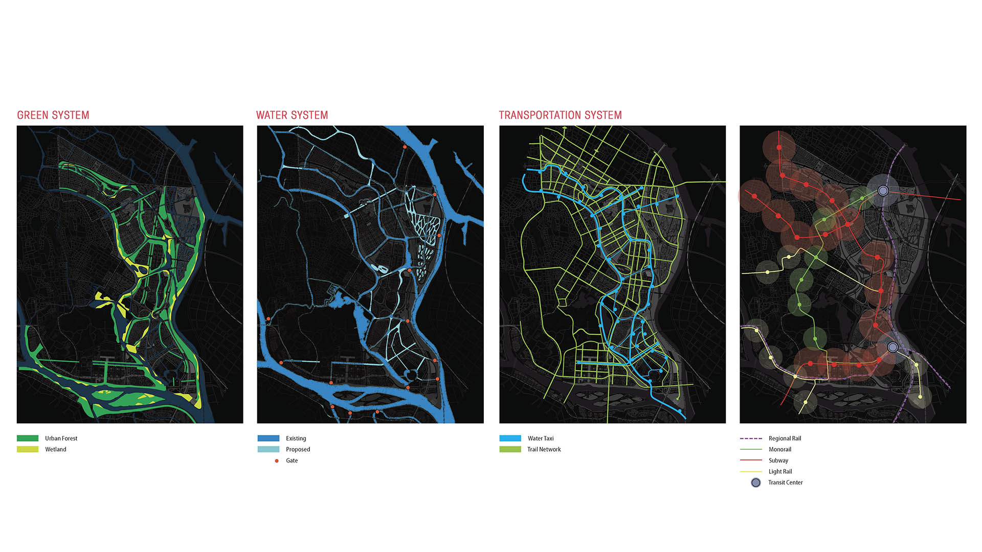
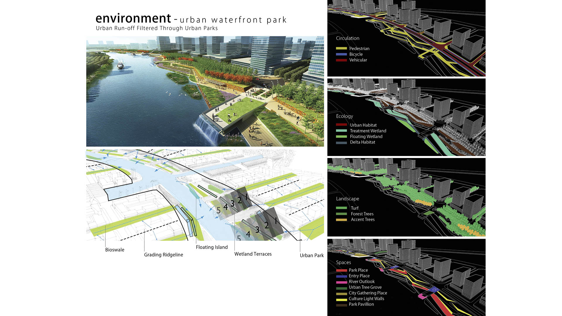
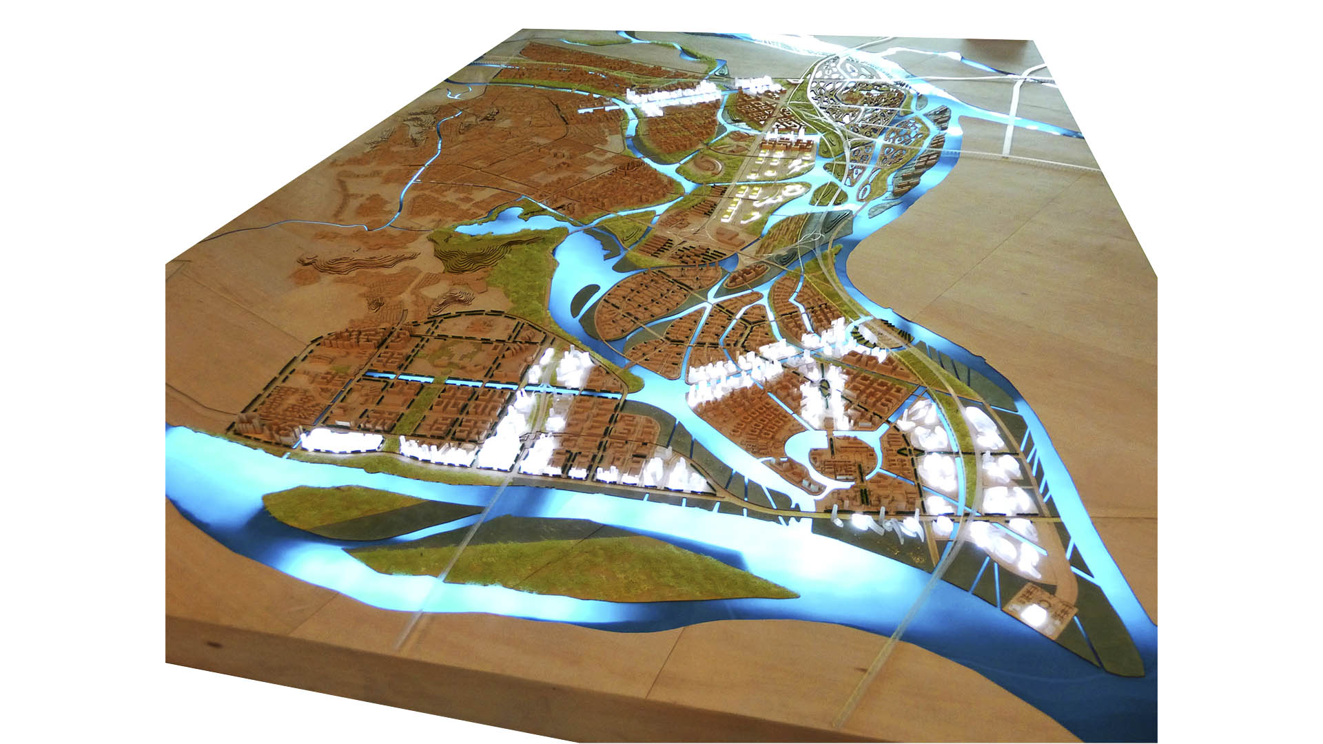
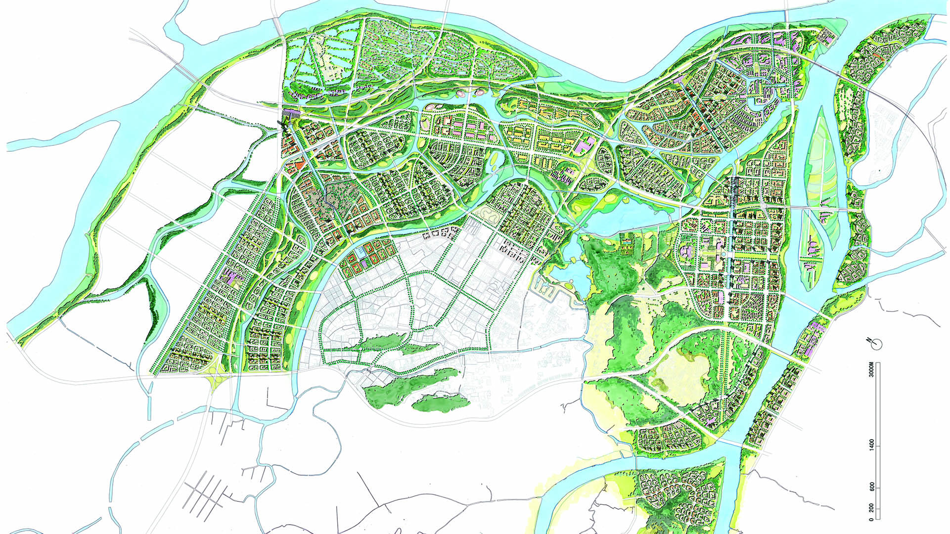
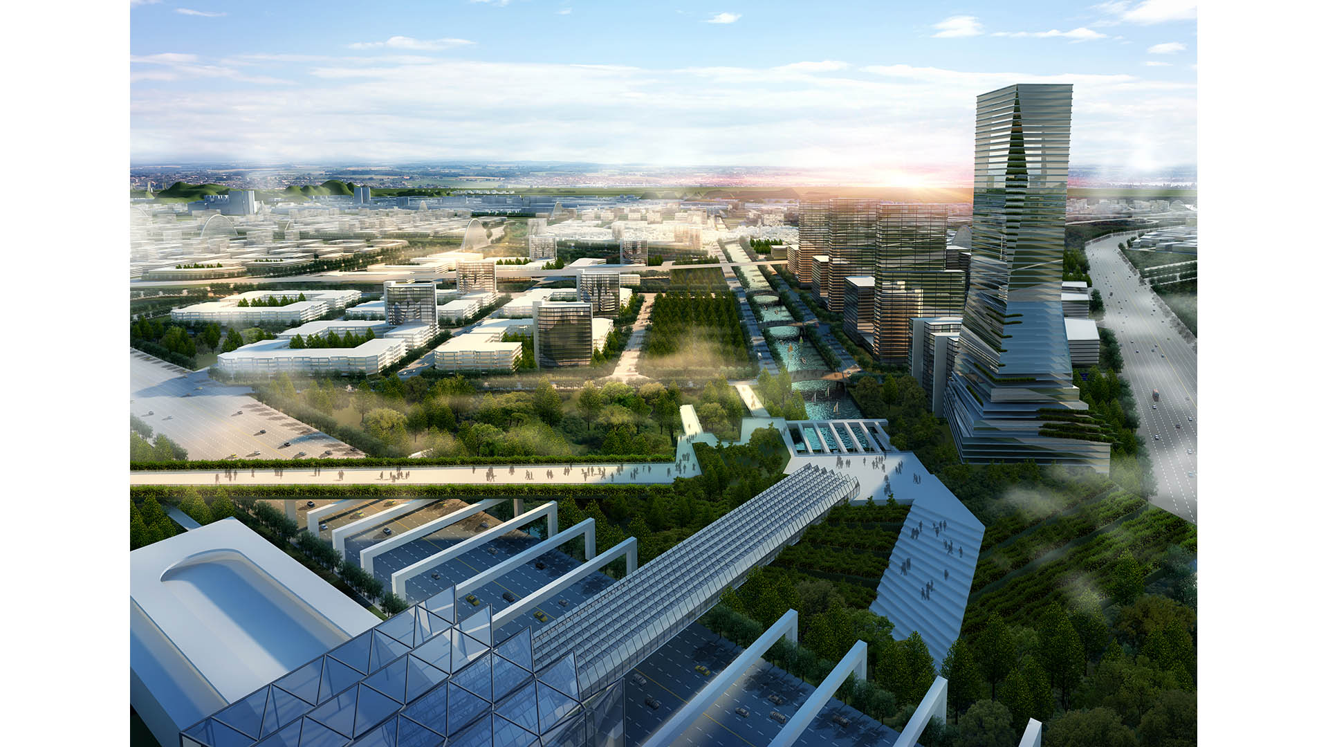
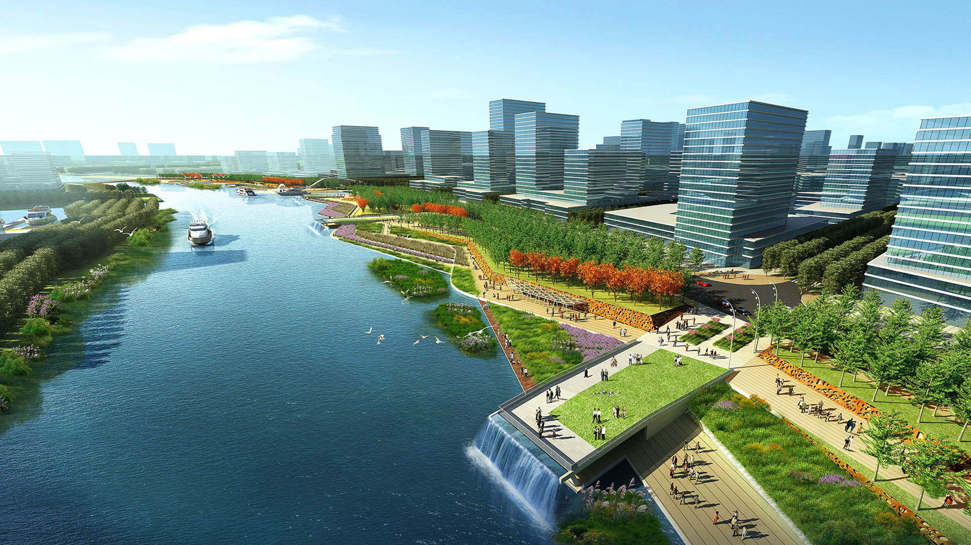
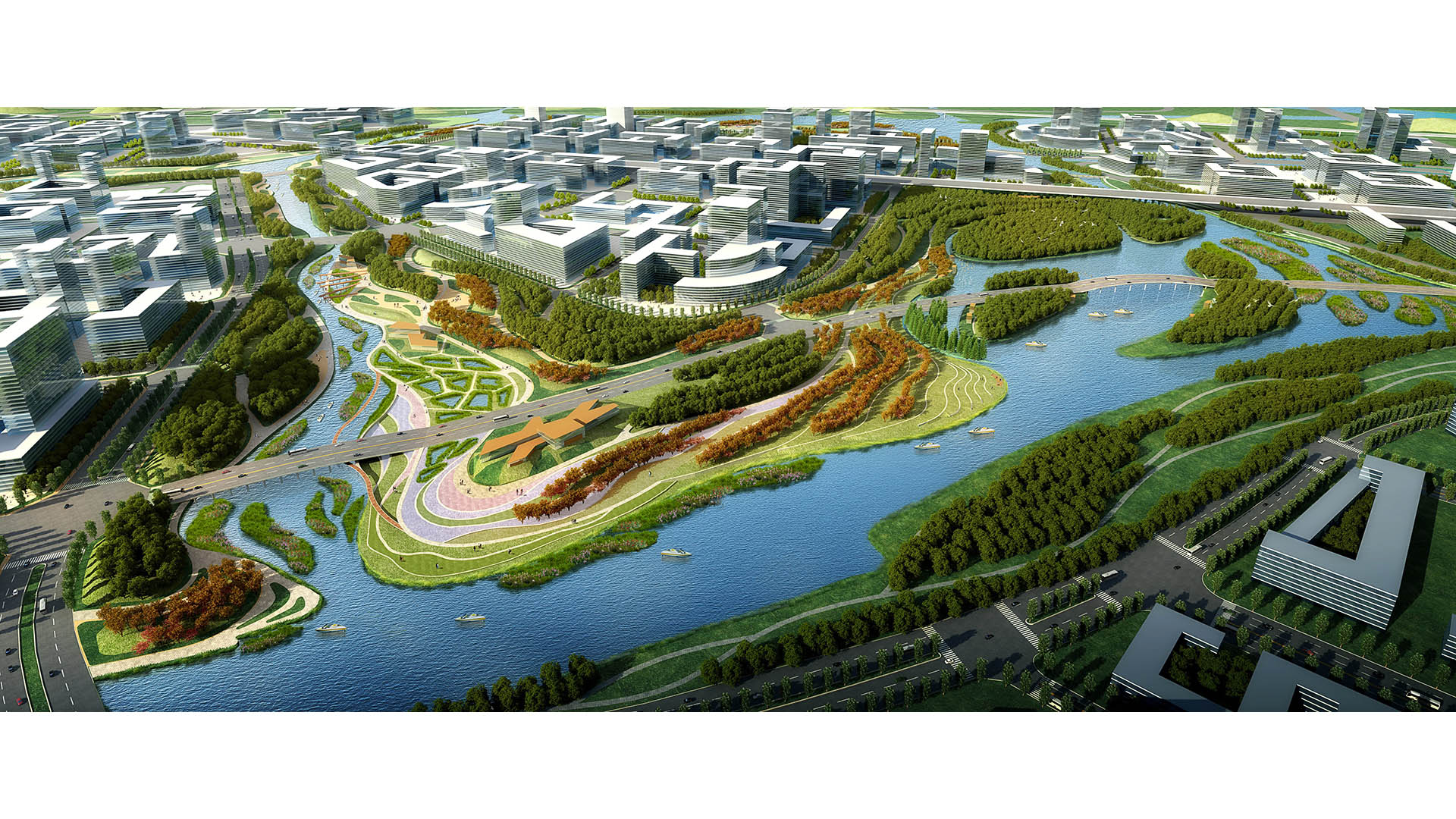
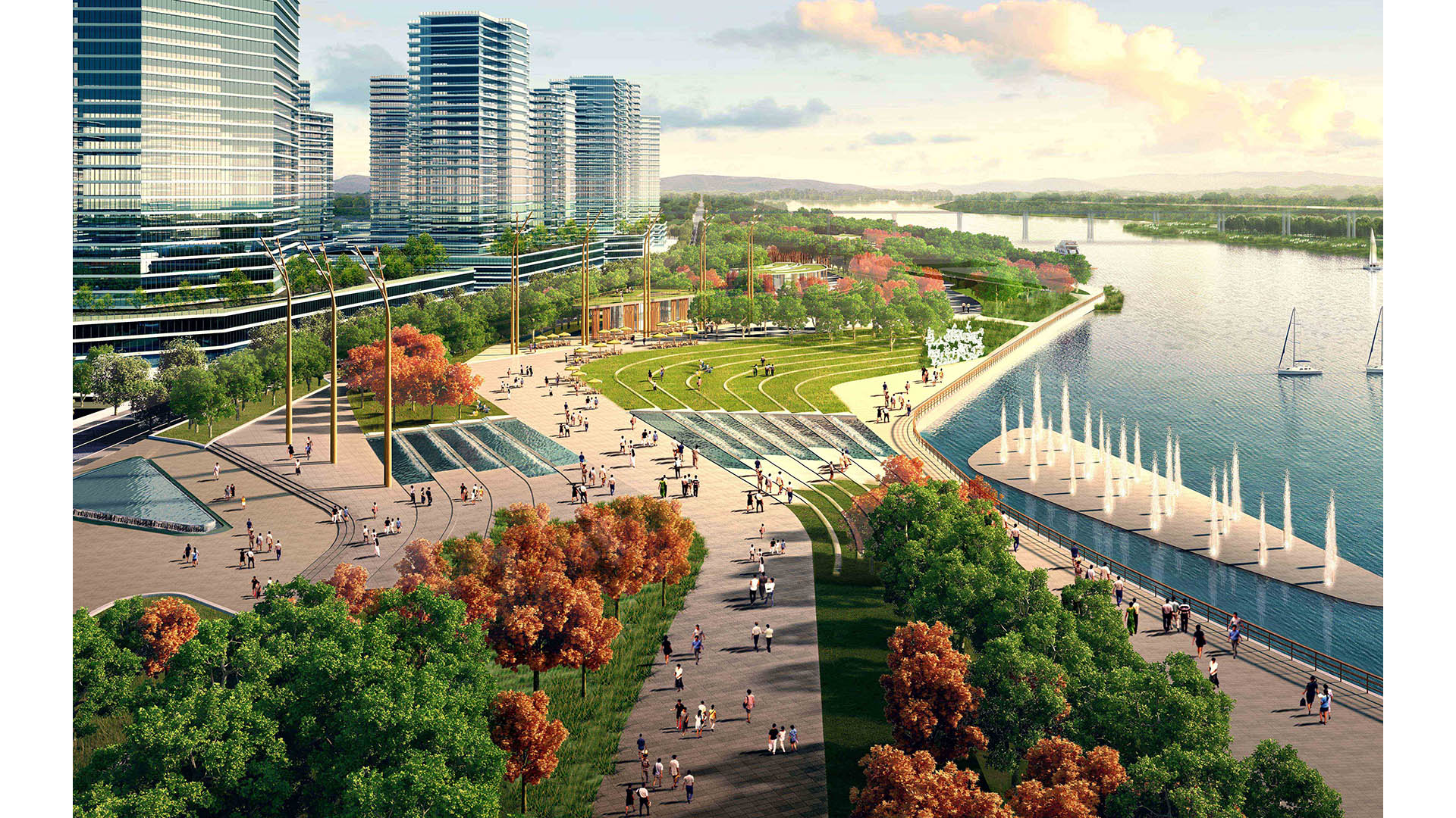
The Pearl River Delta is the second largest bird migration delta and estuary in Southeast Asia. Preserving and restoring bird and wildlife corridors while also providing regional connectivity, transportation, and development options is at the pinnacle of today’s development challenges. In the Shunde New City Plan, urban development and nature are integrated to form a unique and comprehensive system beneficial to both people and the natural environment. The Shunde New City Plan weaves a constructed wetland delta system into a multi-modal, pedestrian-oriented city. At 72 square kilometers, the plan utilizes the form of a wetland delta to break the city fabric into multiple nodes, with water as the connective tissue between development centers. Between water corridors, the plan contains multiple islands as pedestrian-scaled, mixed-use villages linked by an environmental infrastructure containing greenbelts, water corridors, wetlands, and trails.
A layered transportation network and multiple urban centers serve to create connected yet self-contained units of residential, retail, office, educational, and/or civic spaces. Two major stations consolidate regional rail, local monorail, water taxis, buses, and cars for the region. In addition, a comprehensive trail network parallels the greenbelts, and a water taxi system and a monorail network promote connectivity between the neighborhood centers. Throughout the project, human and environmental sustainability takes center stage. Fine-textured neighborhoods with compact blocks and small street cart-ways contribute to a human-scaled, walkable environment. The plan proposes compact blocks and a fine-scaled network of streets designed as human corridors, augmenting the pedestrian environment and allowing for a more delicate, environmentally-sensitive approach to planning and development. The net effect is a greater number of smaller streets, collectively mitigating traffic while expanding circulation choice. This smaller-grained fabric encourages walkability, reinforces a sense of place, and creates more development parcels and opportunity for architectural variation.
Suzhou Center
The Suzhou Center is a landmark urban space within the Suzhou Central Business District that embodies the spirit of the city of Suzhou as a gateway for intersecting old and new cultural and historic heritage. The successful combination of high-density development and ecological conservation will allow for Suzhou to transition to a garden city where state-of-th...
Lewis Avenue
In a city renowned for fantasy, the design of Las Vegas’ Lewis Avenue celebrates the local desert landscape and affirms the street as part of a real-world working district. It was one of the first projects to be implemented in Mayor Oscar B. Goodman’s 2000 Las Vegas Downtown Centennial Plan, aimed at revitalizing the historic downtown core. The City asked SWA,...
Nanhu New Country Village
China’s rapid urbanization over the past several decades has radically diminished its agricultural landscapes and labor force, focusing instead on industrial and technological advancements. The Nanhu New Country Village brings a contemporary approach to integrating agriculture and residences in a village setting, enhancing existing rural character, and improvi...
Tata Eco City
At the crossroads of ecology and community, this master plan synergizes a unique blend of spaces that support active lifestyles and foster innovation and creativity. Tata Eco City Master Plan was been developed layer by layer, using a set of strategic design interventions to help ensure that the delicate balance between nature and the built environment is prot...


