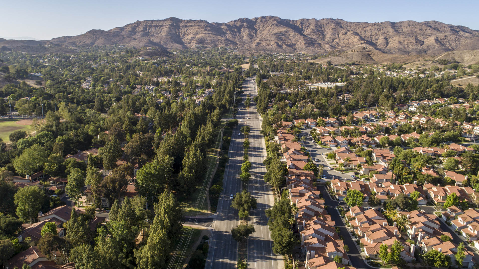
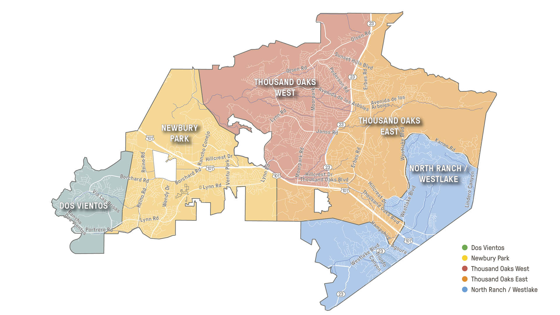
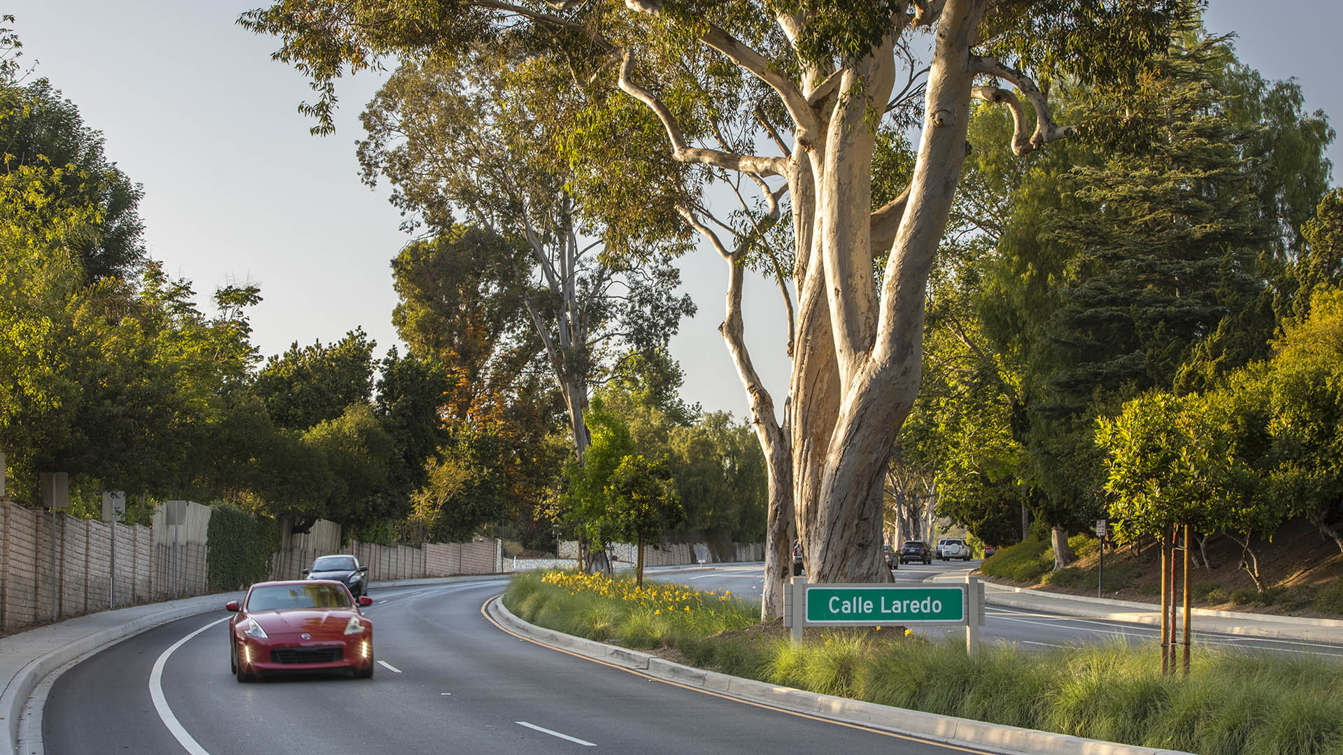
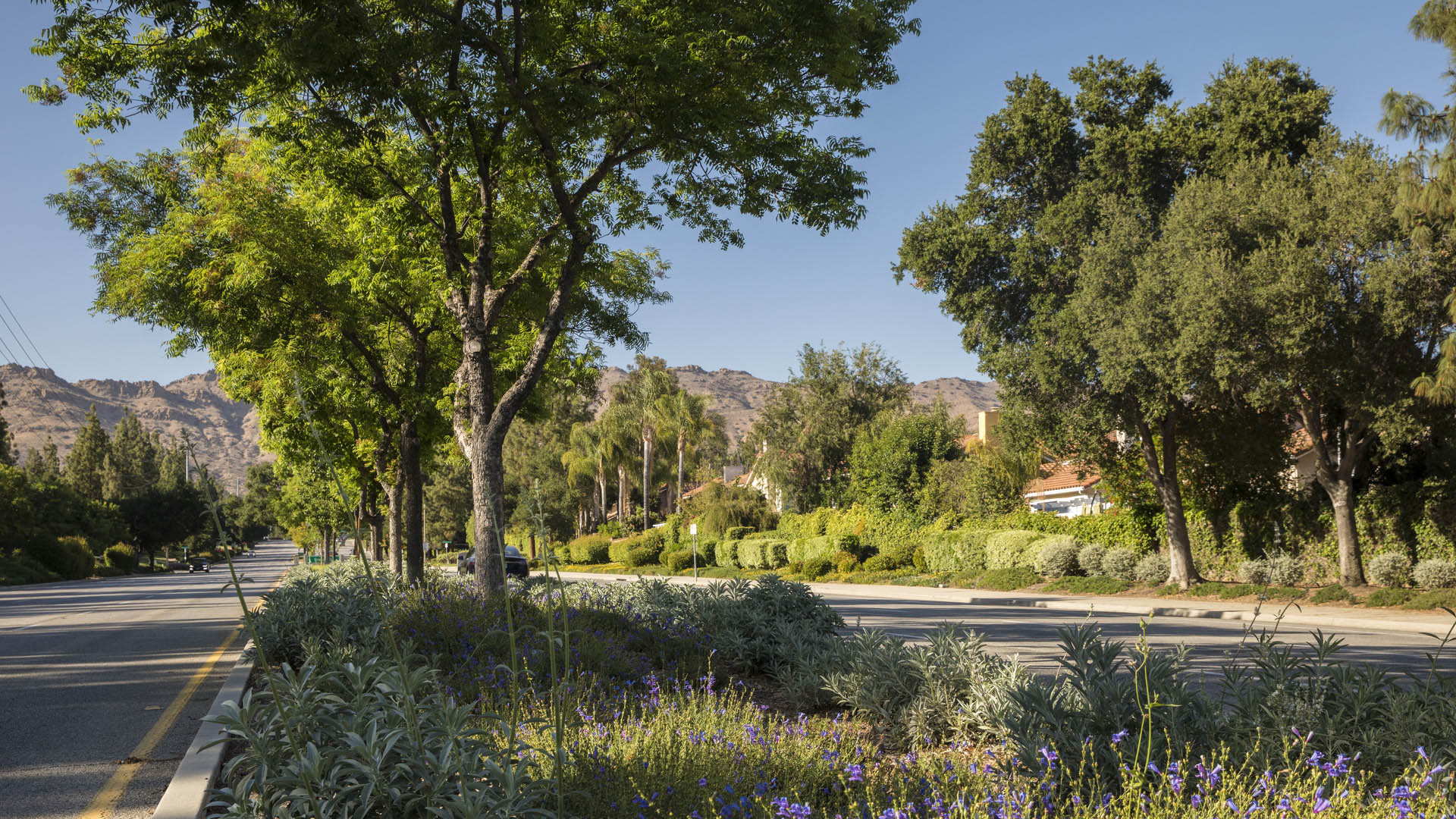
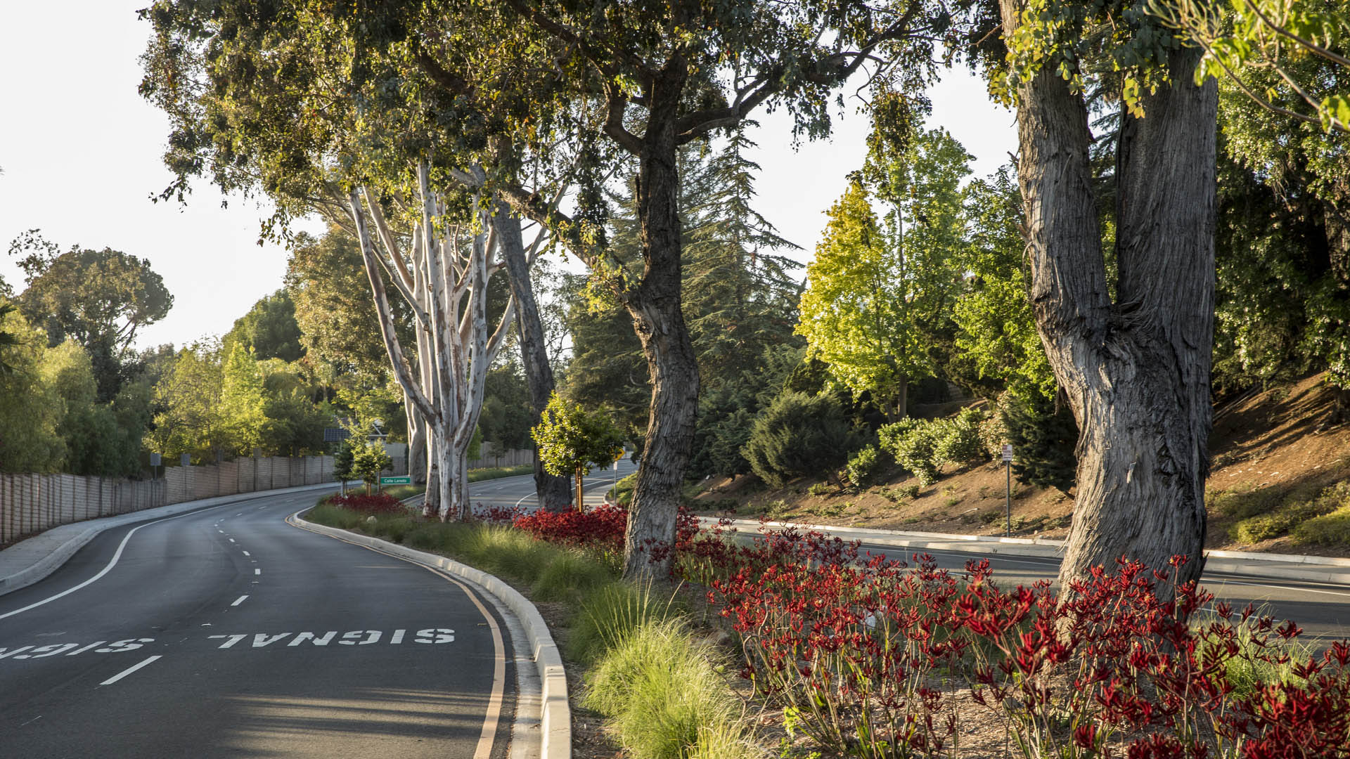
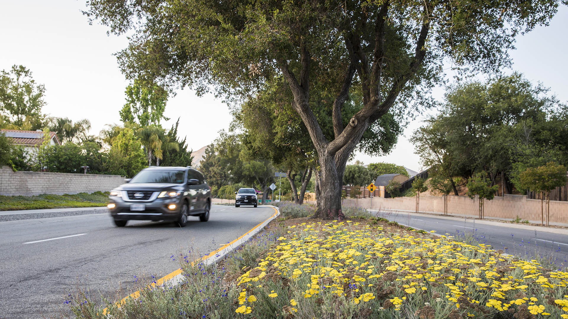
While residents and businesses are clearly proud of the City of Thousand Oaks’ two-decade-long “Tree City USA” designation, recent drought conditions created an urgent need for the City to decrease grassy landscapes and update maintenance practices. As a key part of these efforts, the City selected SWA, along with team partners Planning & Energy/Entitlement Services and Rincon, to update its 26-year-old Forestry Master Plan. The process involved community engagement, including the development of a comprehensive outreach booklet; City staff meetings; and research and analysis to develop plant palettes, planting guidelines, and maintenance recommendations that will help the City sustainably manage their community forest.
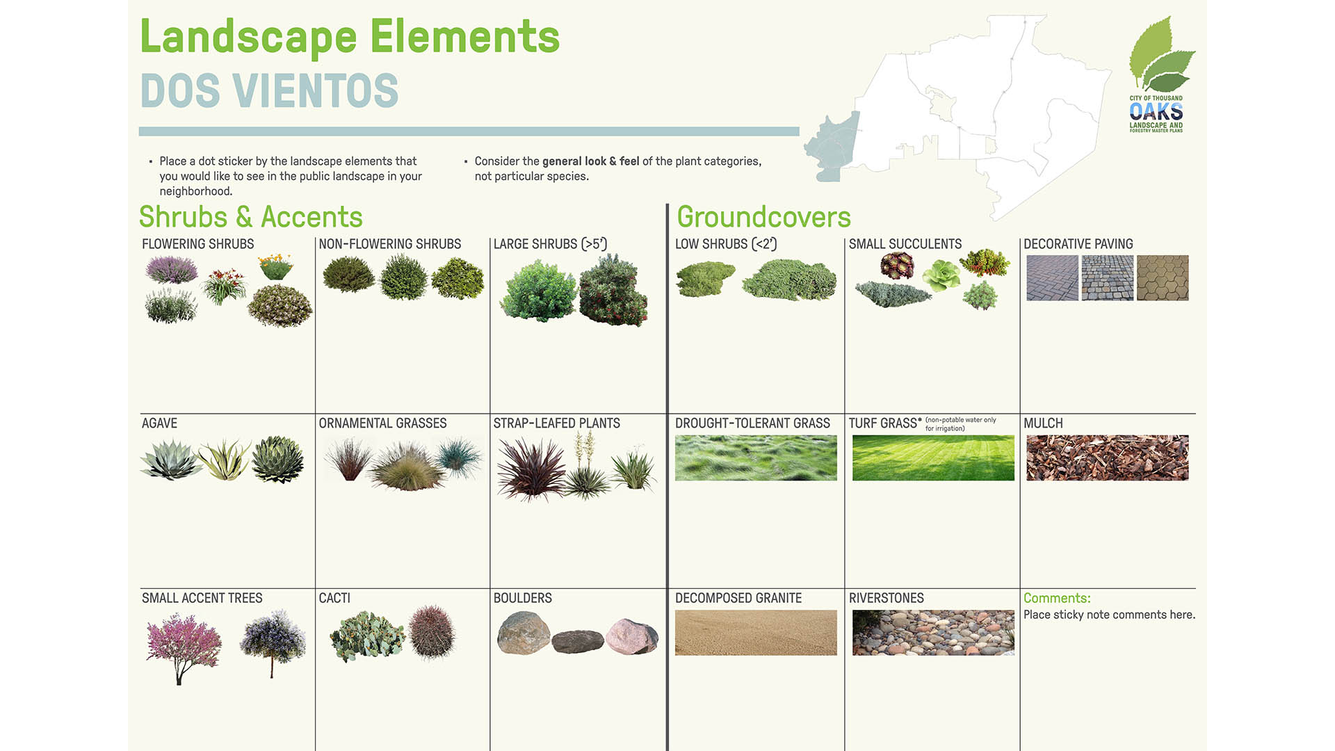
Through online surveys and community workshops, the team solicited residents’ input on the future of Thousand Oaks’ landscape character. SWA facilitated discussions about how to adapt, but also preserve, the city’s landscape identity. Elements include drought-tolerant species, increased habitat for butterfly/pollinator species, solar irrigation clocks, and a one-shrub-to-one-bubbler ratio to ease maintenance.
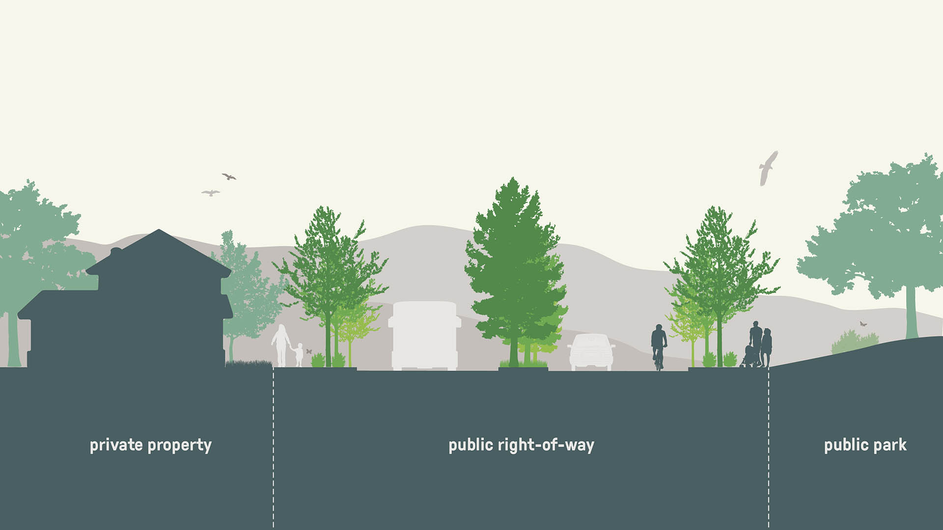
The updated Forestry Master Plan provides the City with a framework for selecting the right tree for the right place; incorporating more drought-tolerant and California native planting materials in public rights-of-way; and increasing the community forest’s resilience during times of drought and climate change.
Hunter's Point South Waterfront Park
Hunter’s Point South Waterfront Park was envisioned as an international model of urban ecology and a world laboratory for innovative sustainable thinking. The project is a collaboration between Thomas Balsley Associates and WEISS/MANFREDI for the open space and park design with ARUP as the prime consultant and infrastructure designer.
What was once a ba...
Bray's Bayou
Stretching 35 miles from the mouth of the Houston Ship Channel westward through residential, commercial and institutional developments, Brays Bayou is one of the most important waterways in Harris County, and a critical link in the area’s watershed. The $450-million project was first established in the early 2000s, with the goal of mitigatin...
Ningbo East New Town Eco-Corridor
SWA provided planning and design services for the 3.3km-long, 250-acre metropolitan Ningbo Eco-Corridor. The project transforms a former agricultural plain that had been taken over by industrial use into urban green infrastructure. Located in the heart of the Yangtze River Delta on China’s coastline, Ningbo is one of China’s oldest cities, with an area of 3,61...
Buffalo Bayou Park
This thoroughly renovated, 160-acre public space deploys a vigorous agenda of urban ecological services and improved pedestrian accessibility, with two new bridges connecting surrounding neighborhoods. The design utilizes channel stabilization techniques, enhancing the bayou’s natural meanders and offering increased resiliency against floodwaters while preserv...


