As Houston’s Downtown has developed and expanded over many decades, public green space has been increasingly constrained by several interstate routes: primarily I-59, -45, and -69. These thoroughfares, while essential for commuters, have left little room for workers and nearby residents to enjoy unimpeded access to their locale’s adjacent trailways and bayous, and the benefits of a temperate, if flood-prone, climate.
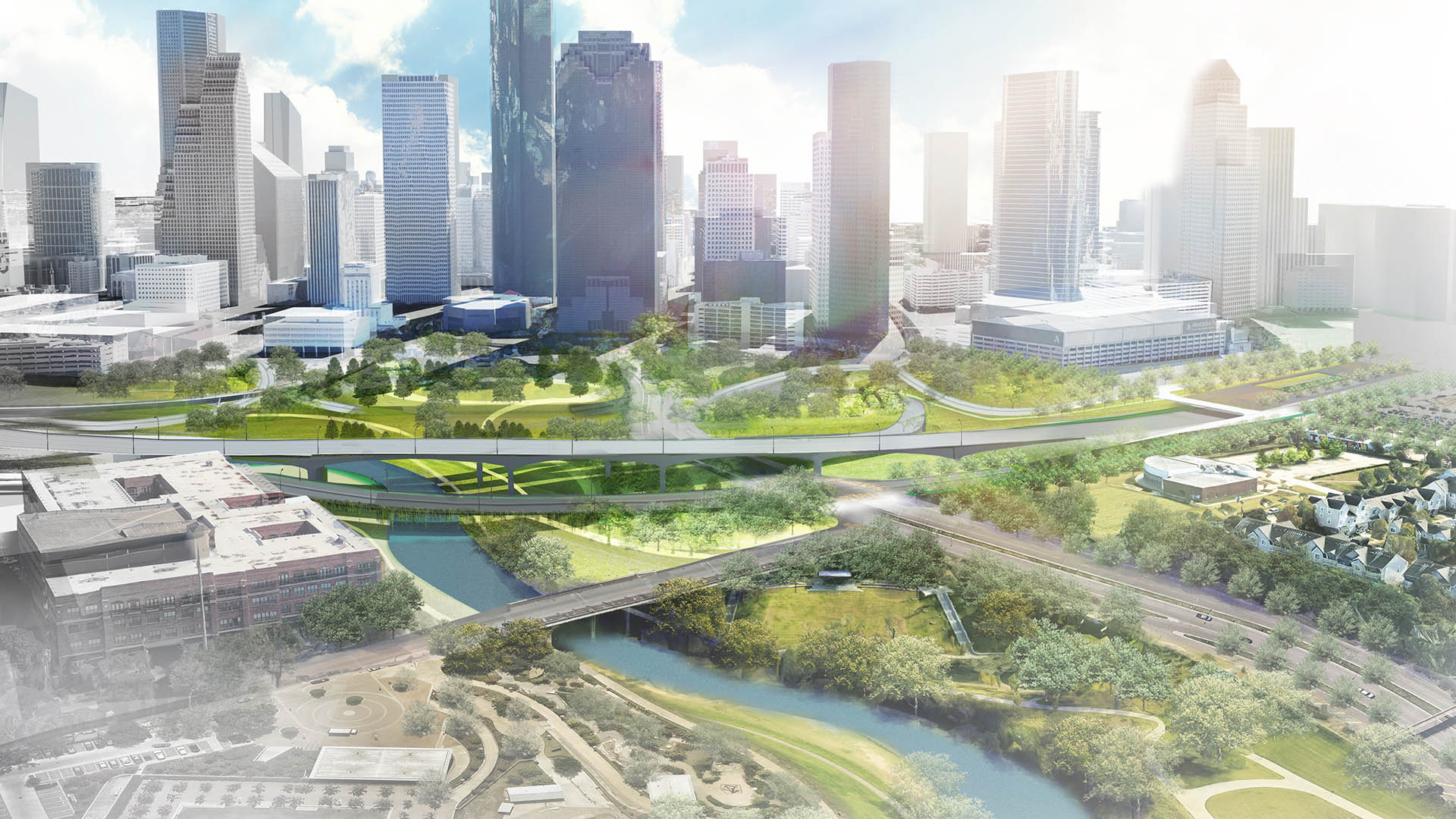
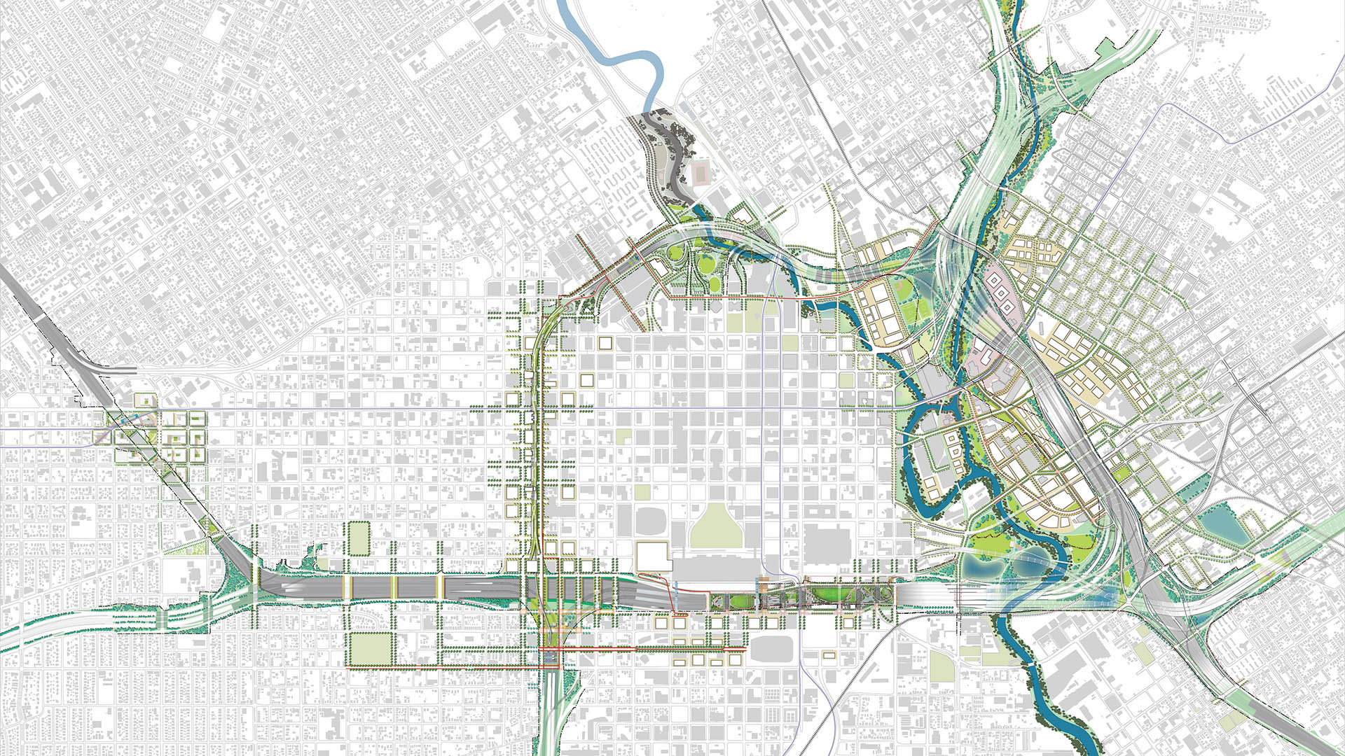
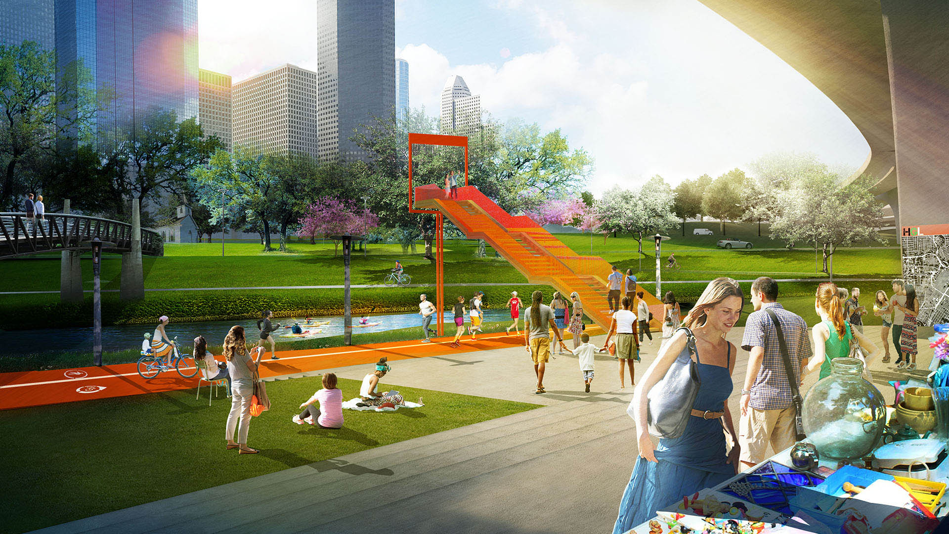
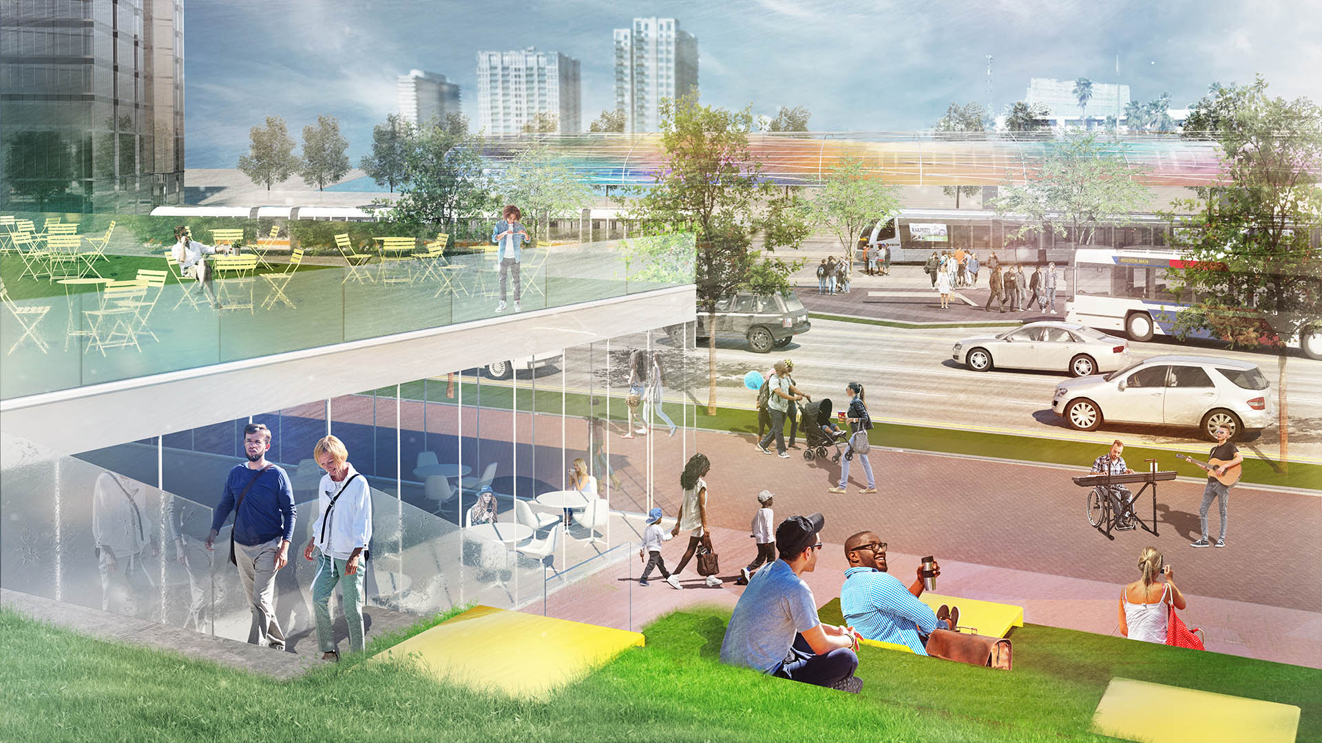
Working in concert with Houston Downtown Management District, traffic engineers at Walter P. Moore, and major stakeholder groups, SWA brought a fresh perspective to TxDOT’s desire to improve the highway system, envisioning new ways to realign existing routes and in some cases, to move them underground – freeing up the city surface for cap parks and additional connections to the firm’s ongoing work on local bayou trail systems. SWA proposed consolidating the pathways of I-45 with I-69, an approach which removes existing elevated infrastructure, partially relocates it underground, and replaces it with an at-grade parkway that reconnects adjacent districts along the roadway and bayous. This parkway feeds directly into the grid of the downtown streets.
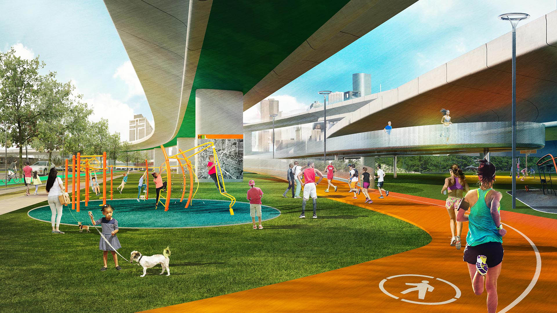
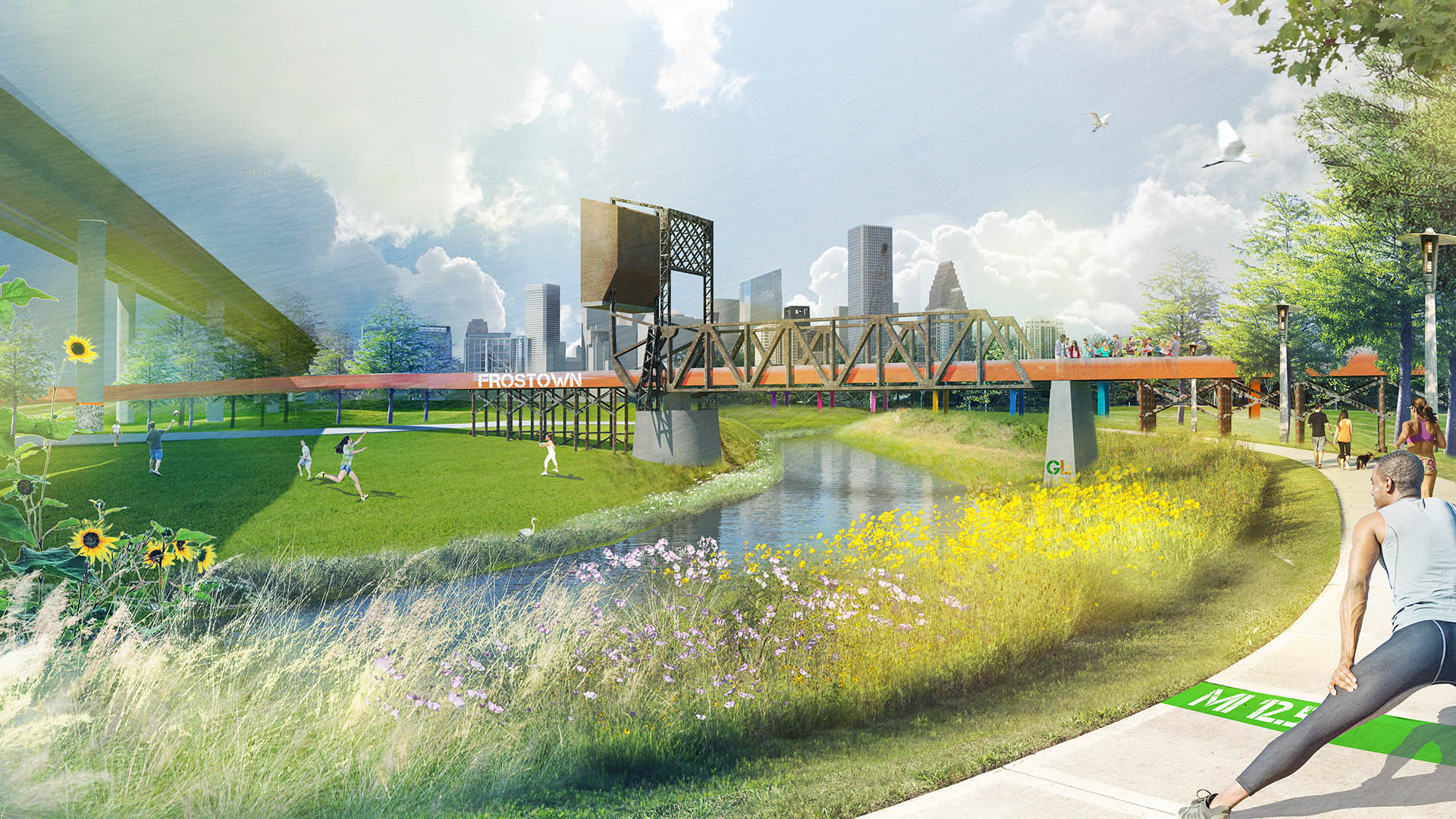
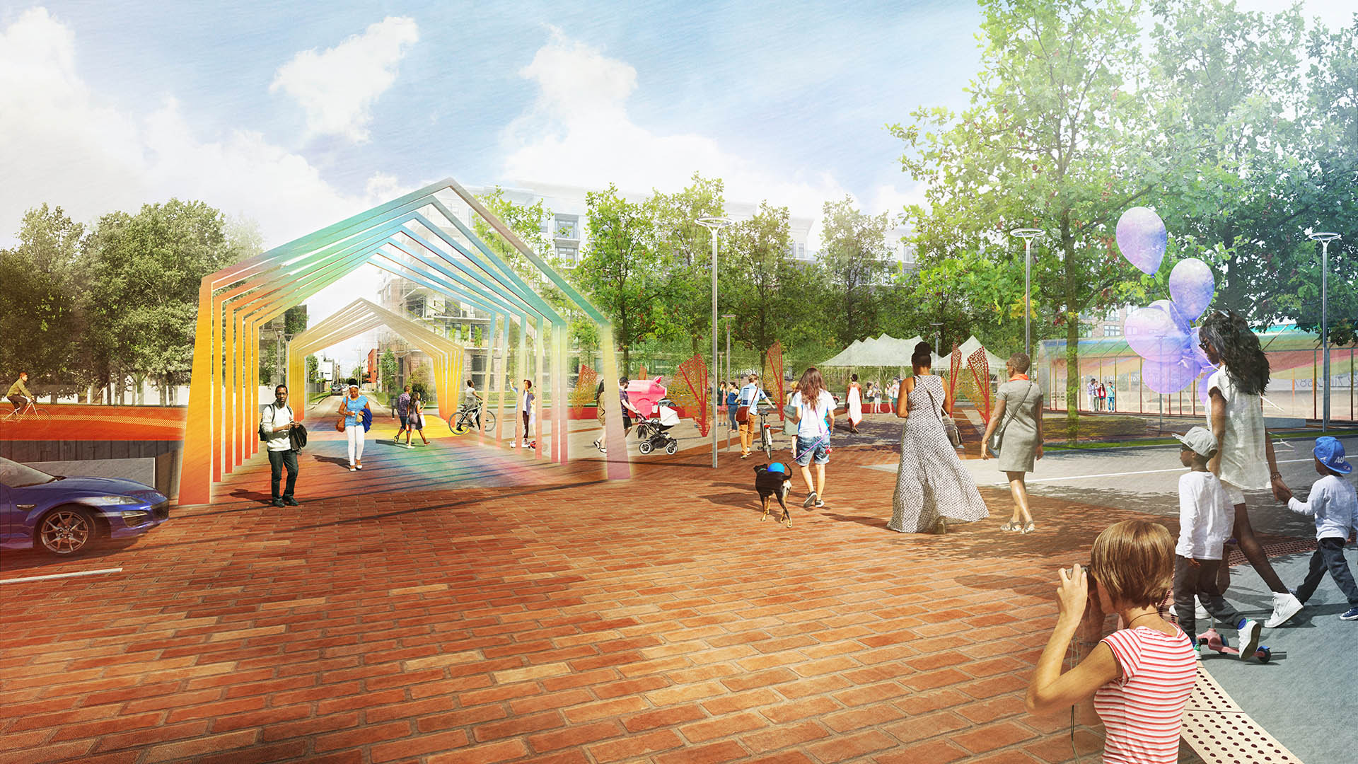
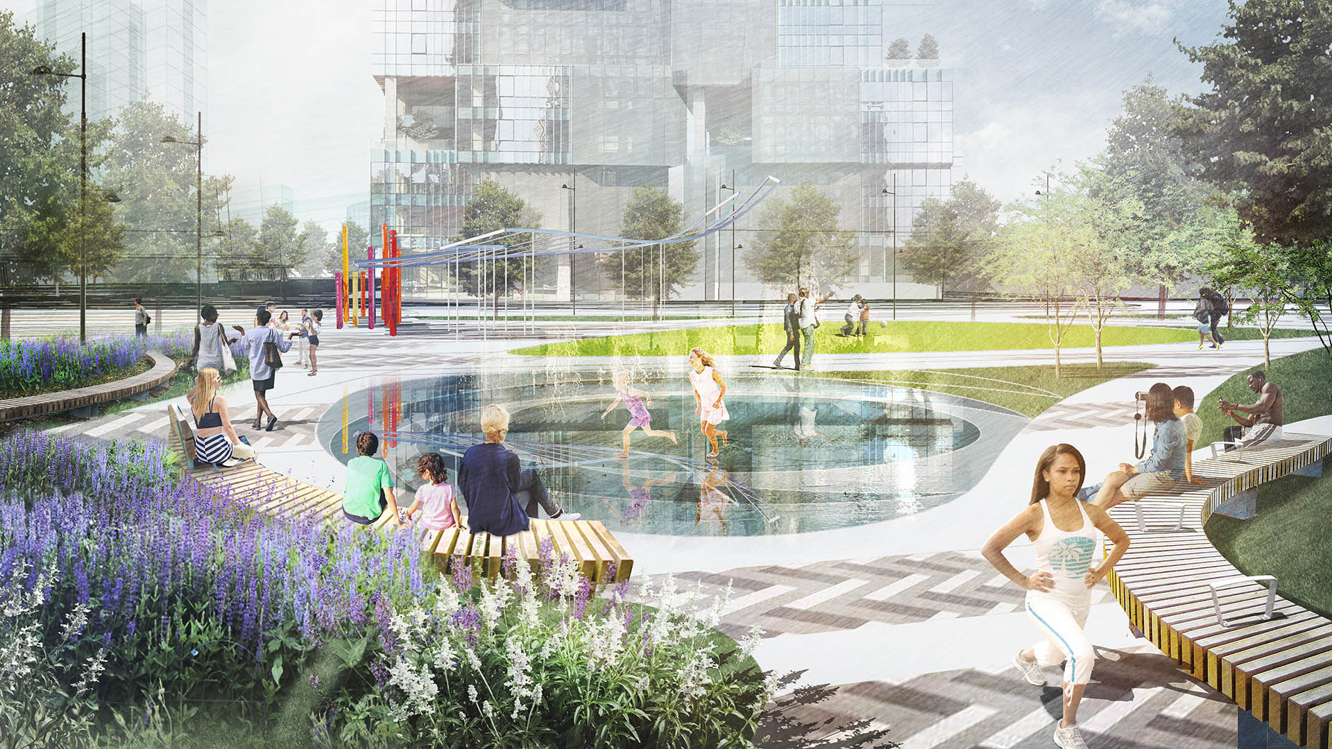
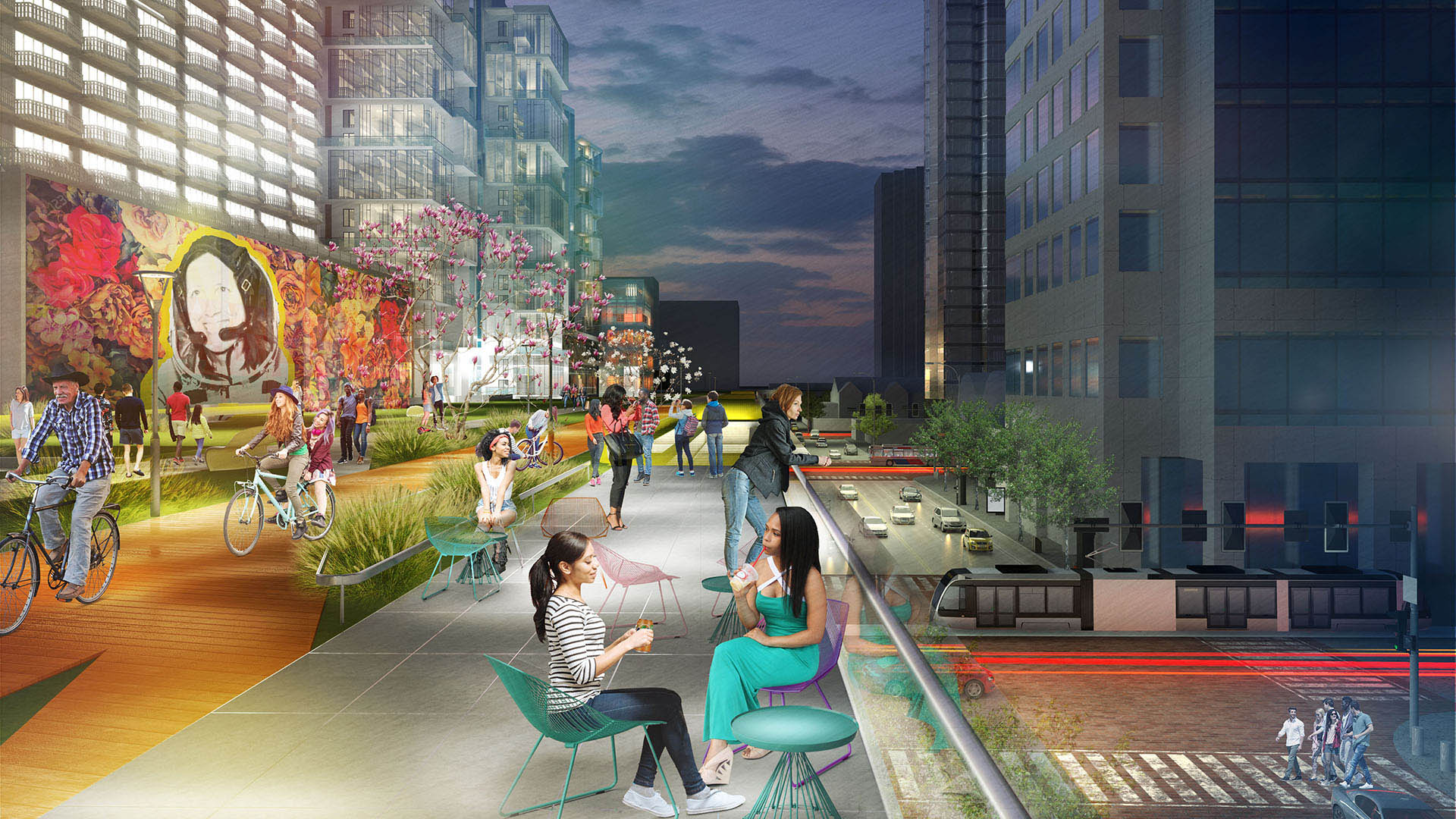
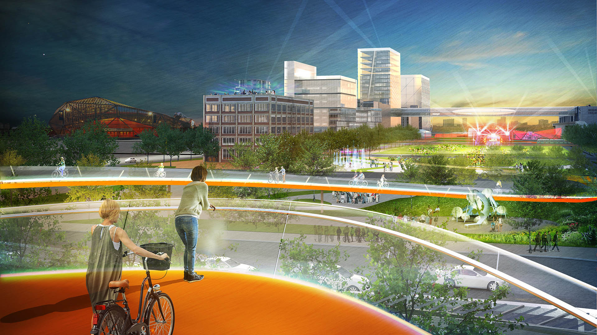
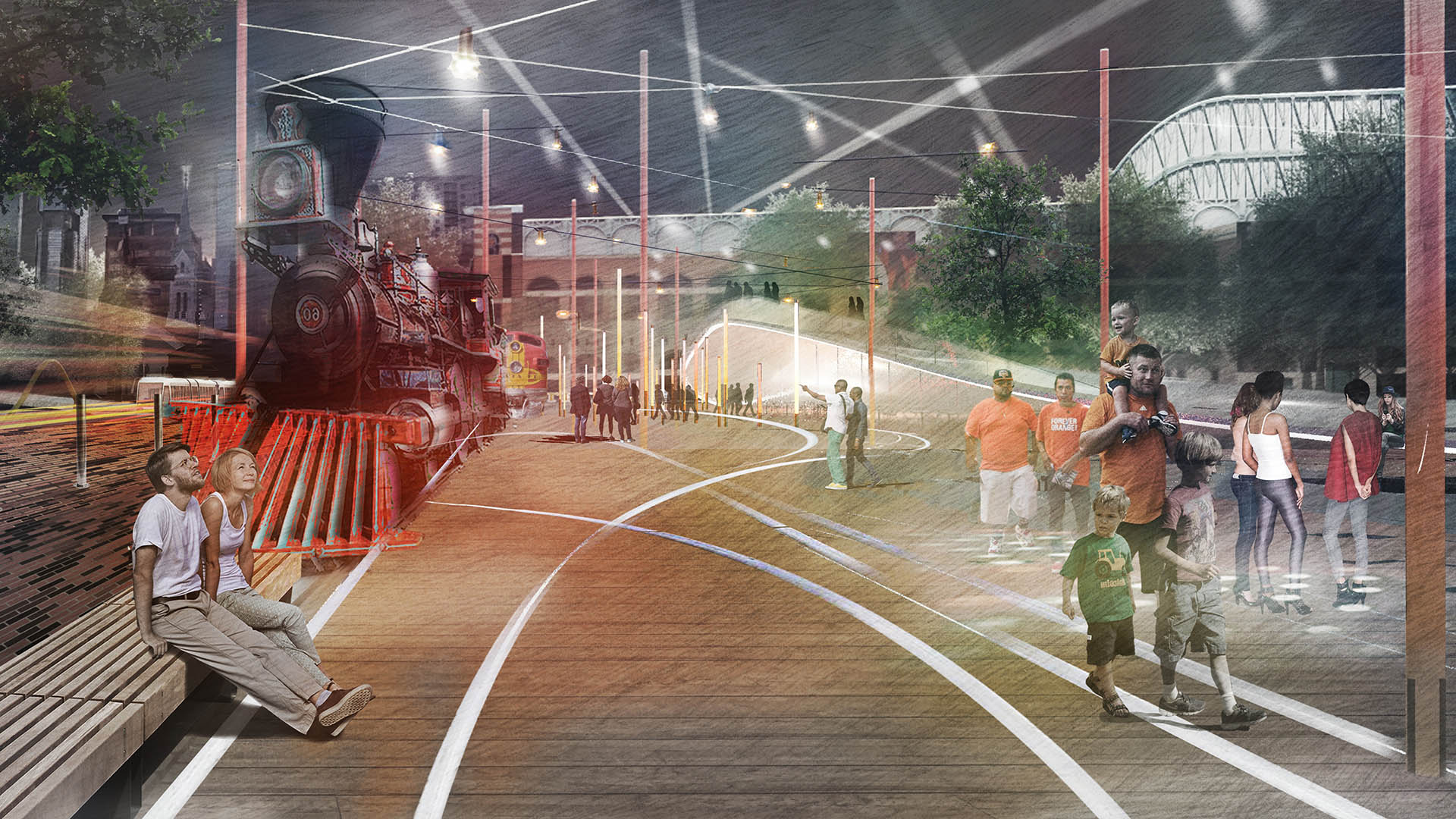
Being located square in the middle of North America’s “sun belt,” Houston, TX is ripe for adaptive, climate-friendly, and civic-minded interventions in this vein. The Houston Green Loop, an outcome of the firm’s earlier planning work, builds on these ongoing efforts to establish a Downtown “girdled” not by freeways, but by open space systems – serving both commuters and bordering communities who had been previously cut off from vital local connections and vibrant ecology. Proposed amenities along the Green Loop incorporate unique, pedestrian-scale experiences that offer meaningful exchanges among neighborhoods and urban districts. The vision reimagines the “civic commons” with trails, running paths, restoration of a historic bridge, and detention ponds to further the project’s resiliency goals.
Exemplifying the vision that landscape architects can bring to urban environments, the careful repositioning, demolition, and consolidation of Downtown Houston’s major rights-of-way paves the way to a more resilient future for cities worldwide.
Houston’s Gateway Art Bridges : I-59/69 Beautification
As a city dominated by freeway infrastructure, Houston will be reconstructing portions of its iconic freeways in the near future. This created an opportunity for SWA to reclaim the Houston Interstate experience with a temporary art installation that provides a bold pop of color celebrating Houston’s diversity at eight key threshold bridges along the I-59/69 co...
Houston Green Loop
With the coming expansion and realignment of the highways around Downtown Houston, SWA identified the opportunity to enact a bold vision: a multi-use branded connectivity system that will leverage the immense reconstruction investment. SWA’s concept creates a continuous pedestrian loop over, under, and around the downtown highway system, thus redirecting the u...
King Harbor Public Amenities Plan
SWA’s work on the King Harbor Public Amenities Plan manages the site’s vulnerability to severe ocean conditions by updating existing infrastructure, providing new programming, and creating a plan for sea-level rise and King Tides. The Amenities Plan serves as a powerful tool to guide growth both for the waterfront’s immediate future and its long-term success. ...
Luohu Station
Luohu Land Port and Train Station is a border control area and the busiest place in Shenzhen, China. As such, the city was faced with the challenge of moving as many as 600,000 people per day and determined to build a subway. Under the auspices of the Shenzhen Municipal Planning Bureau, a team of consultants from eight different countries worked together on th...


