


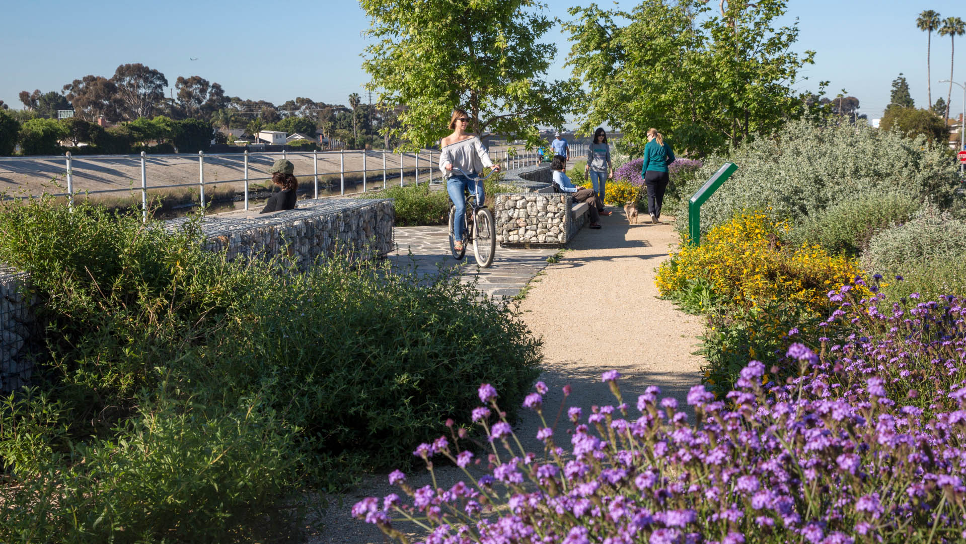


Milton Street Park is a 1.2-acre linear urban park alongside the Ballona Creek Bike Trail in Los Angeles, California. The plan incorporates numerous green-design elements, including the use of recycled materials, native planting, flow-through planters and treatment alongside the 1,000-foot-long, 45-foot-wide stretch of land. A variety of special elements such as bird-watching platforms, bike trail enhancements, seating and outdoor picnic areas enhance the visitor experience along the trail. The promotion of alternative transportation and the creation of an interpretative ecological habitat for birds, insects, and reptiles creates a sustainable network within an existing urban environment. SWA, in conjunction with the Mountains Recreation and Conservation Authority, conducted community meetings, including a public design workshop to ensure that the design and safety needs of the residents were acknowledged and addressed in the plan conceptualized and presented by SWA.
Hill at Sims
Set along Sims Bayou in Sunnyside, one of Houston’s oldest historically Black communities, Hill at Sims transforms a 106-acre stormwater detention basin into a regional park that pairs flood protection with public access, ecological restoration, and everyday recreation. Built around a four-story mound of earth created during the basin’s excavation in 2005, the...
Peanut Plaza
Reclaiming private land for public use, one of Washington D.C.’s most dangerous intersections has been targeted for vast improvements. The project kicked off with the demolition of a Wendy’s restaurant on site and implemented new road alignments to ease traffic congestion. SWA worked with NoMa community groups and the Department of Transportation on the new vi...
Shunde New City
The Pearl River Delta is the second largest bird migration delta and estuary in Southeast Asia. Preserving and restoring bird and wildlife corridors while also providing regional connectivity, transportation, and development options is at the pinnacle of today’s development challenges. In the Shunde New City Plan, urban development and nature are integra...
Ricardo Lara Park
Ricardo Lara Park is a vibrant city park and a case study in landscape infrastructure. It demonstrates how a small investment and creative thinking about landscape can transform the very infrastructure that has long divided and isolated a community into an amenity that unites it, offering much-needed environmental and recreational benefits.
Here, more ...