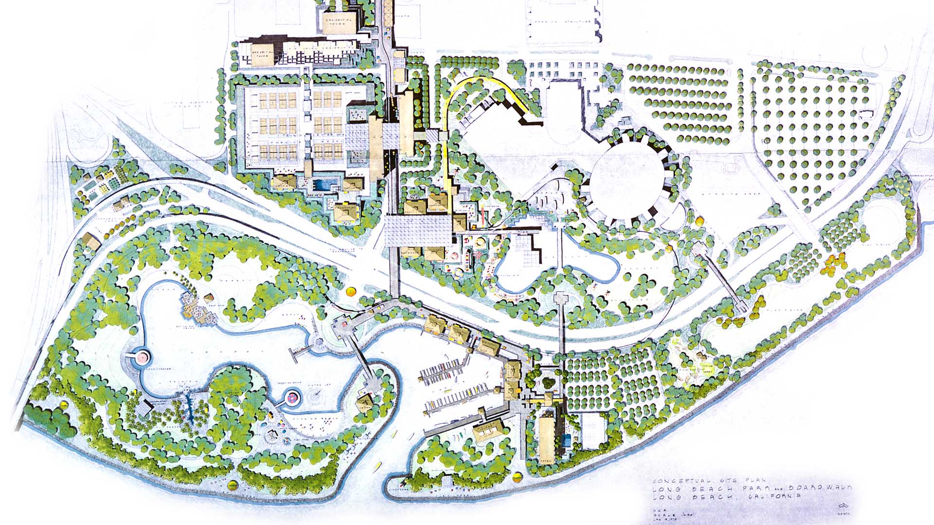
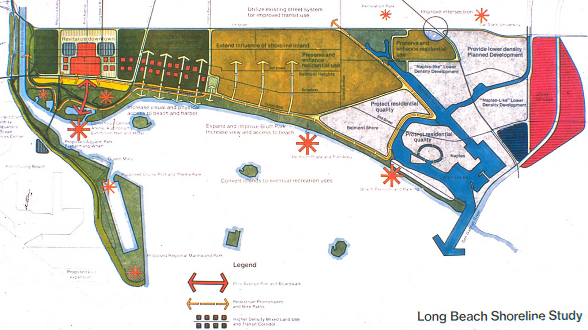
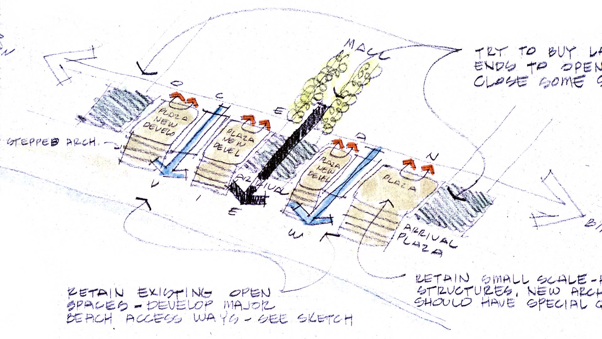
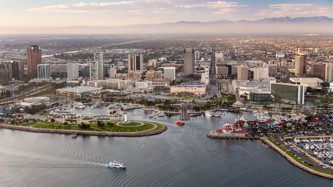
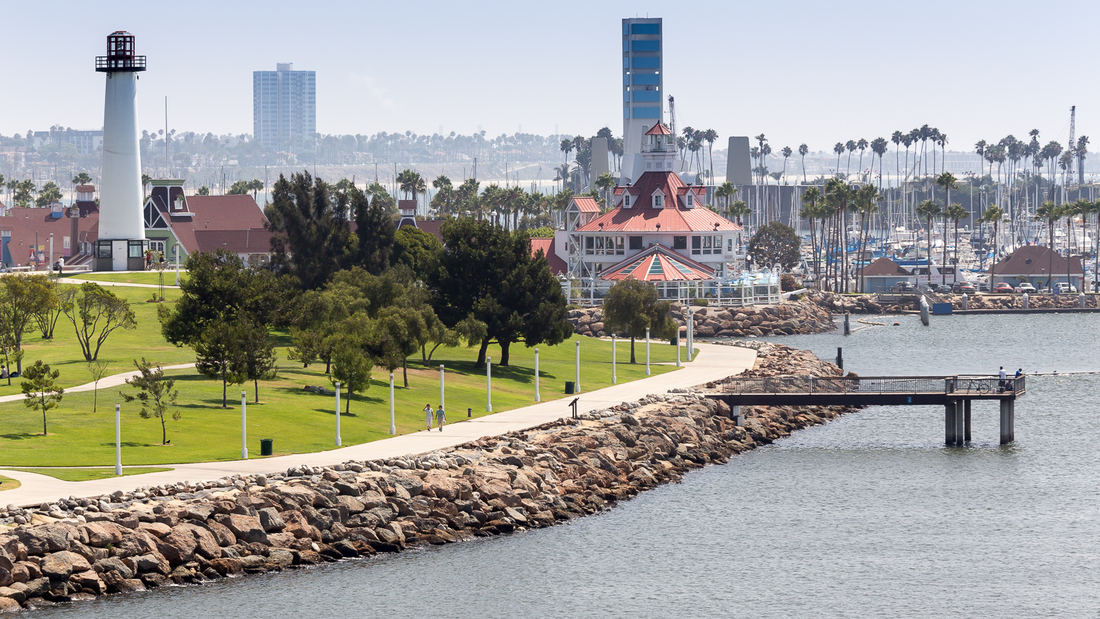
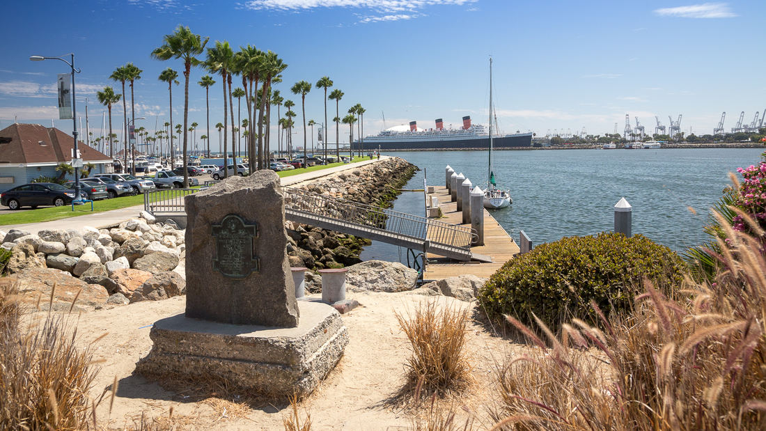
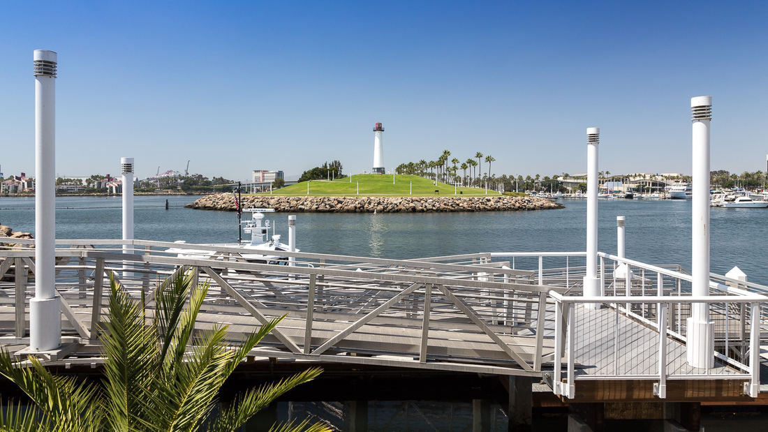
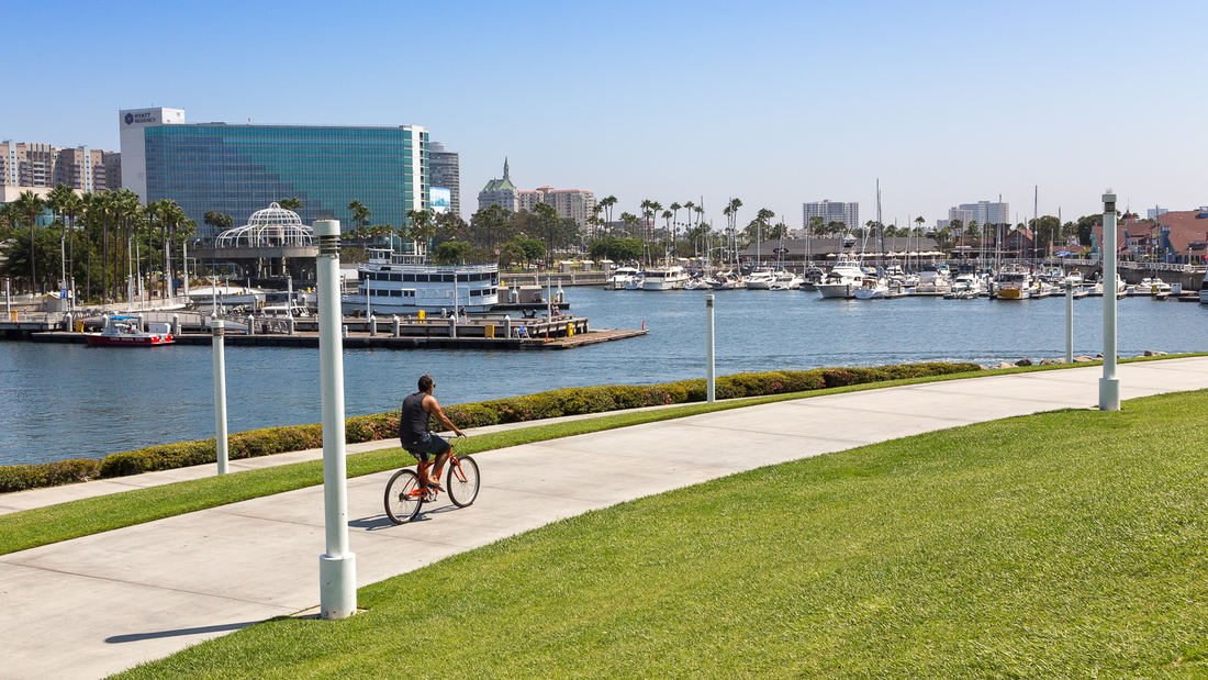
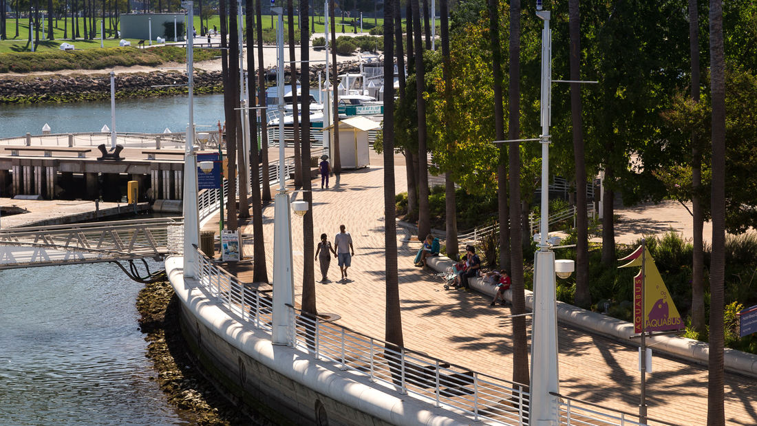
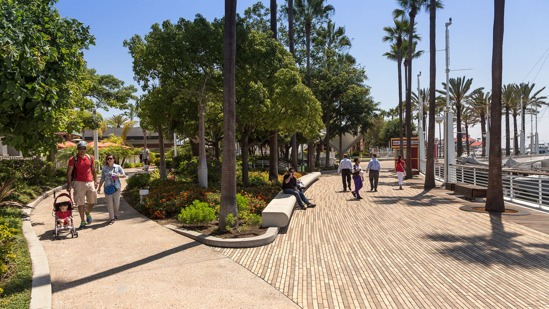
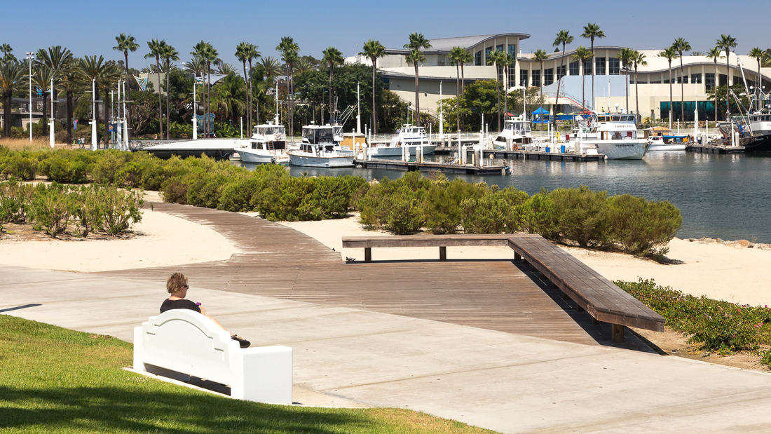
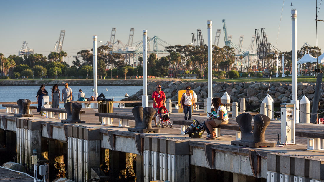
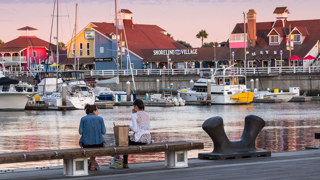
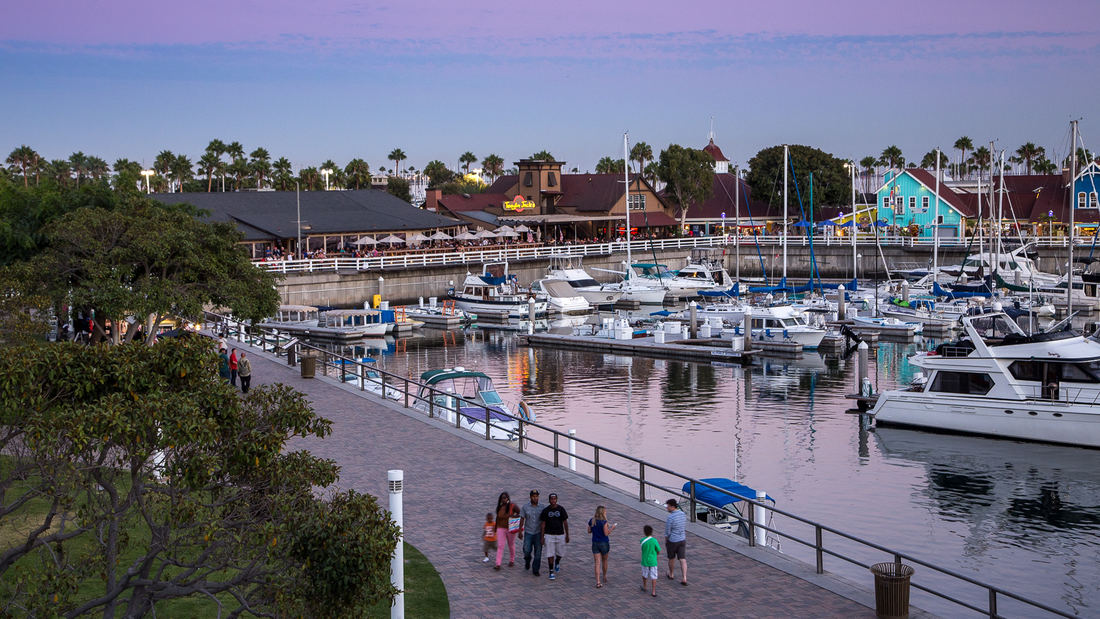
SWA prepared a land use and urban design plan for six miles of waterfront adjacent to downtown Long Beach. Through a series of meetings with local community stakeholders, we were able to determine the different needs of each district in the plan: of critical importance was the need to preserve valuable open space inland, and to maintain an ecological corridor for stormwater management along the shoreline. The resulting plan, endorsed by the California Coastal Commission, proposed improved road circulation, a continuous pedestrian boardwalk, marina and commercial development, and a 50-acre shoreline park. In addition to recommendations related to building density and height restrictions to preserve view corridors, SWA proposed several strategies for improving access to the coast from different points within the city. Specifically, we proposed a major new pedestrian spine linking downtown to the bay with provisions for new high-density office and residential development. Following approval of the plan, SWA was hired to perform more detailed studies of downtown development in support of the new convention center arena, performing arts center, Hyatt Regency hotel, and the Shoreline Village. The important recommendations made by SWA are still evident today in the distinct qualities of Long Beach’s downtown and shoreline neighborhoods.
Aitken Place Park
Aitken Place Park is at the heart of Toronto’s East Bayfront Community – an area transformed from an underutilized industrial brownfield into a vibrant waterfront neighborhood. Flanked by the residential development to the west and the commercial buildings to the north, the park’s water’s edge location creates a unique destination that invites residents, touri...
Hunter's Point South Waterfront Park
Hunter’s Point South Waterfront Park was envisioned as an international model of urban ecology and a world laboratory for innovative sustainable thinking. The project is a collaboration between Thomas Balsley Associates and WEISS/MANFREDI for the open space and park design with ARUP as the prime consultant and infrastructure designer.
What was once a ba...
Guicheng Riverfront
After winning a design competition in 2017, SWA undertook two projects within the Guicheng Riverfront park system, a defining blueway and leisure loop belt. The two completed parks – South Bank Waterfront Park and Eco-Island Park – are designed with distinct programmatic elements and characters based on the riverfront’s surrounding land use and urban settings,...
Aquatic Park & Pier Vision Study
The Aquatic Park and Pier Vision Study is a community-led effort examining new possibilities along San Francisco’s northern waterfront. Prompted by the need to replace the disintegrating Aquatic Park Pier — a historic, curvilinear structure that shelters shoreside water for swimmers and boaters — the Vision Study looks beyond the immediate boundaries of the Ma...


