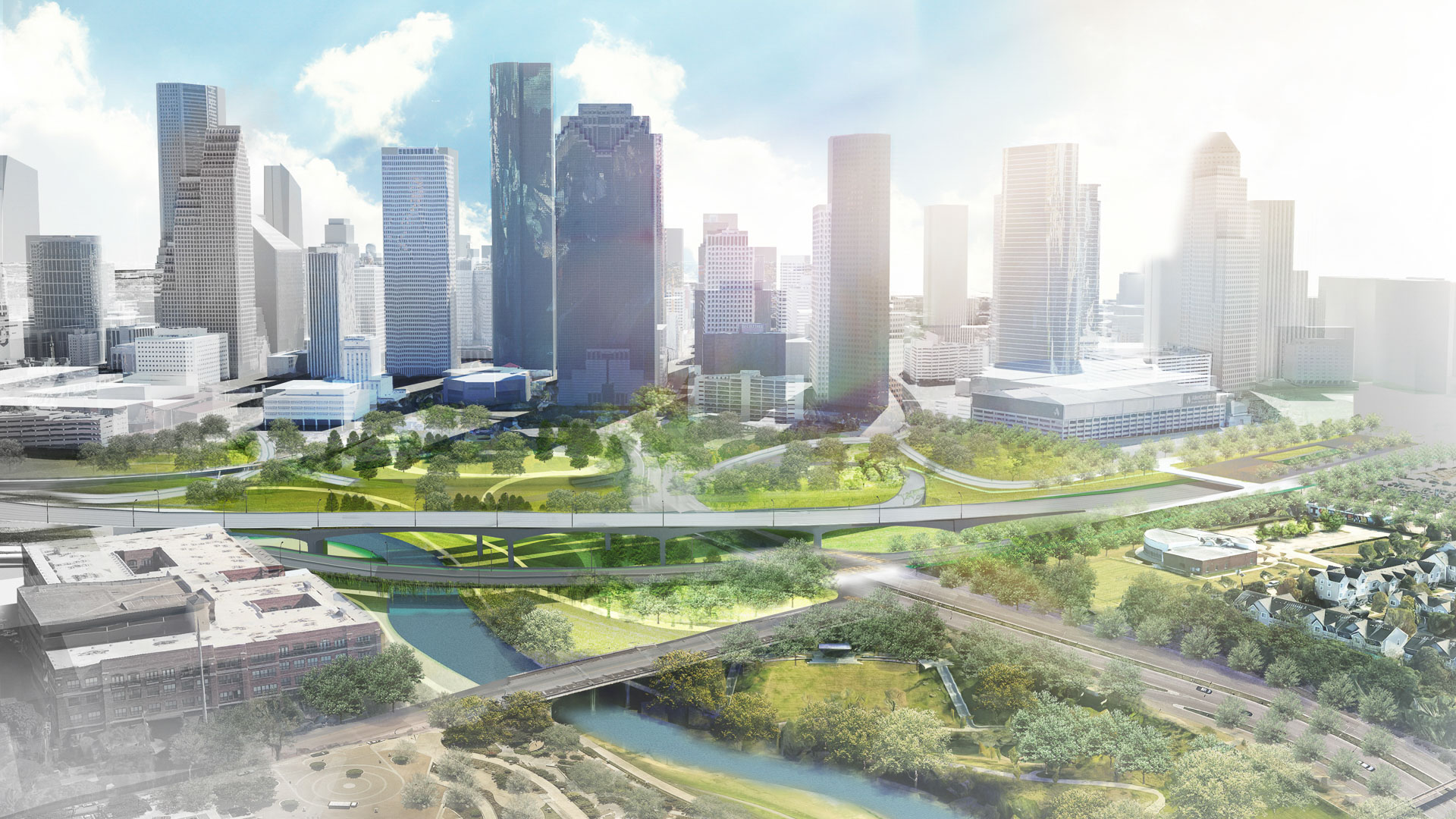
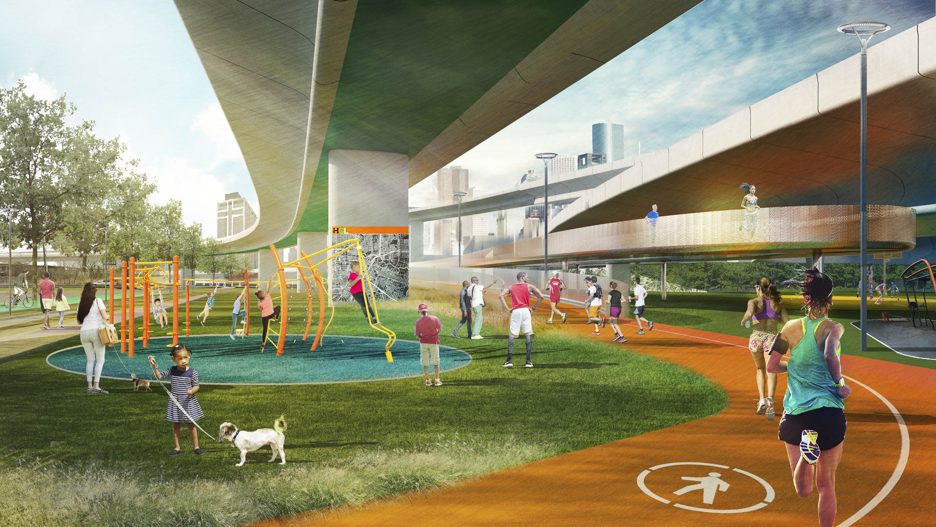
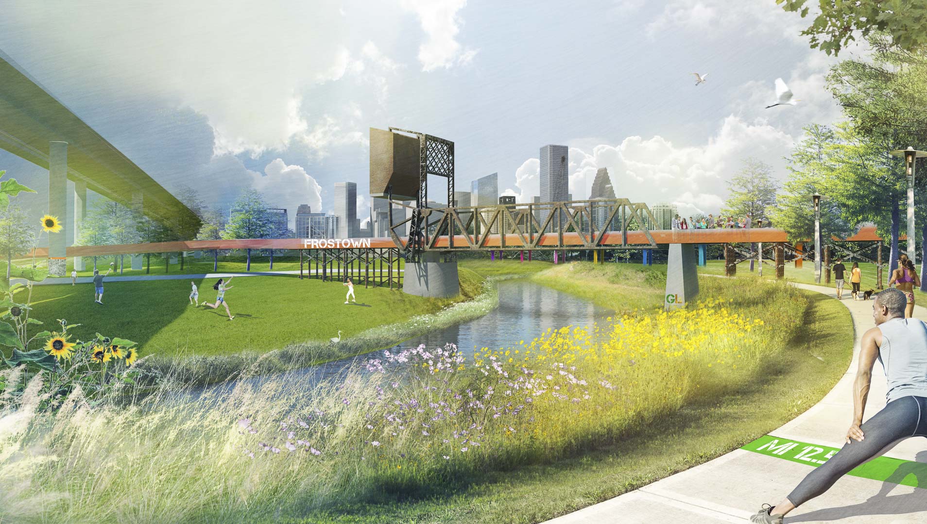
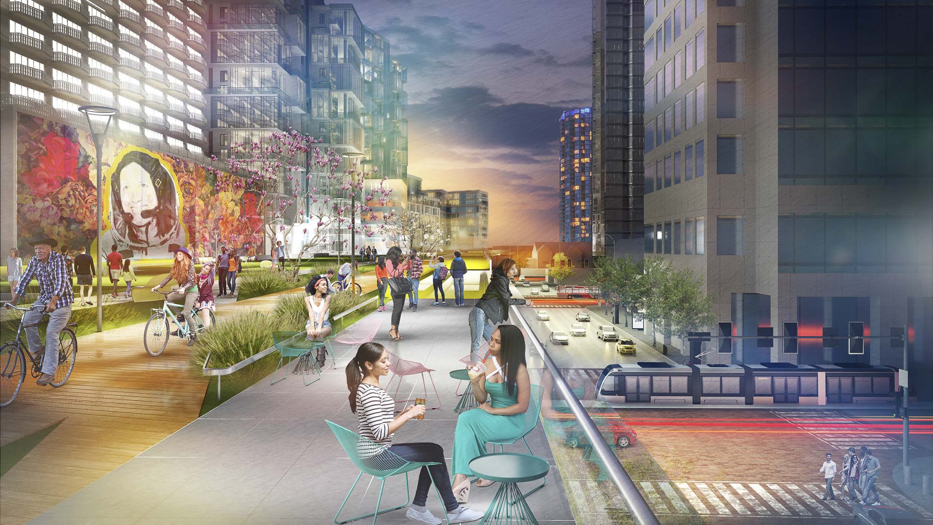
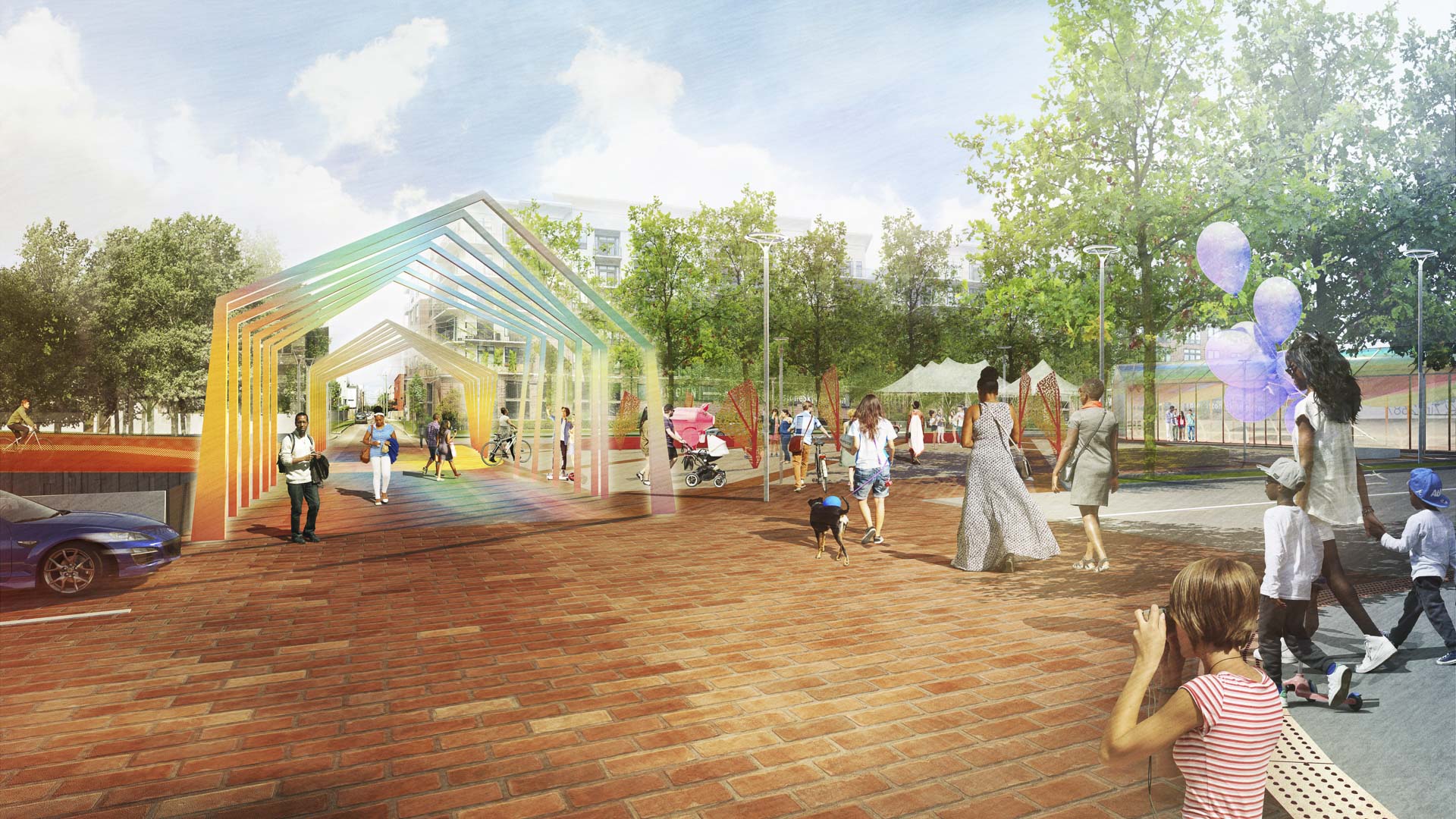
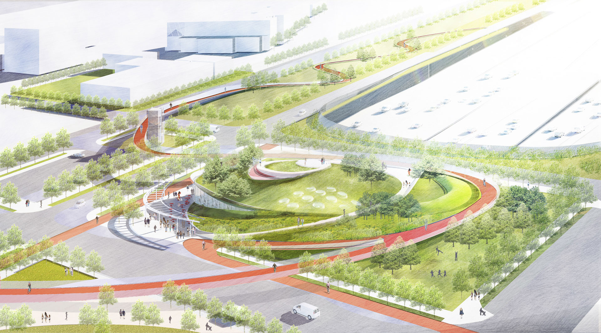
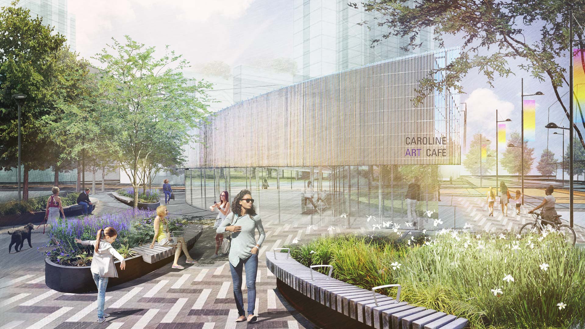
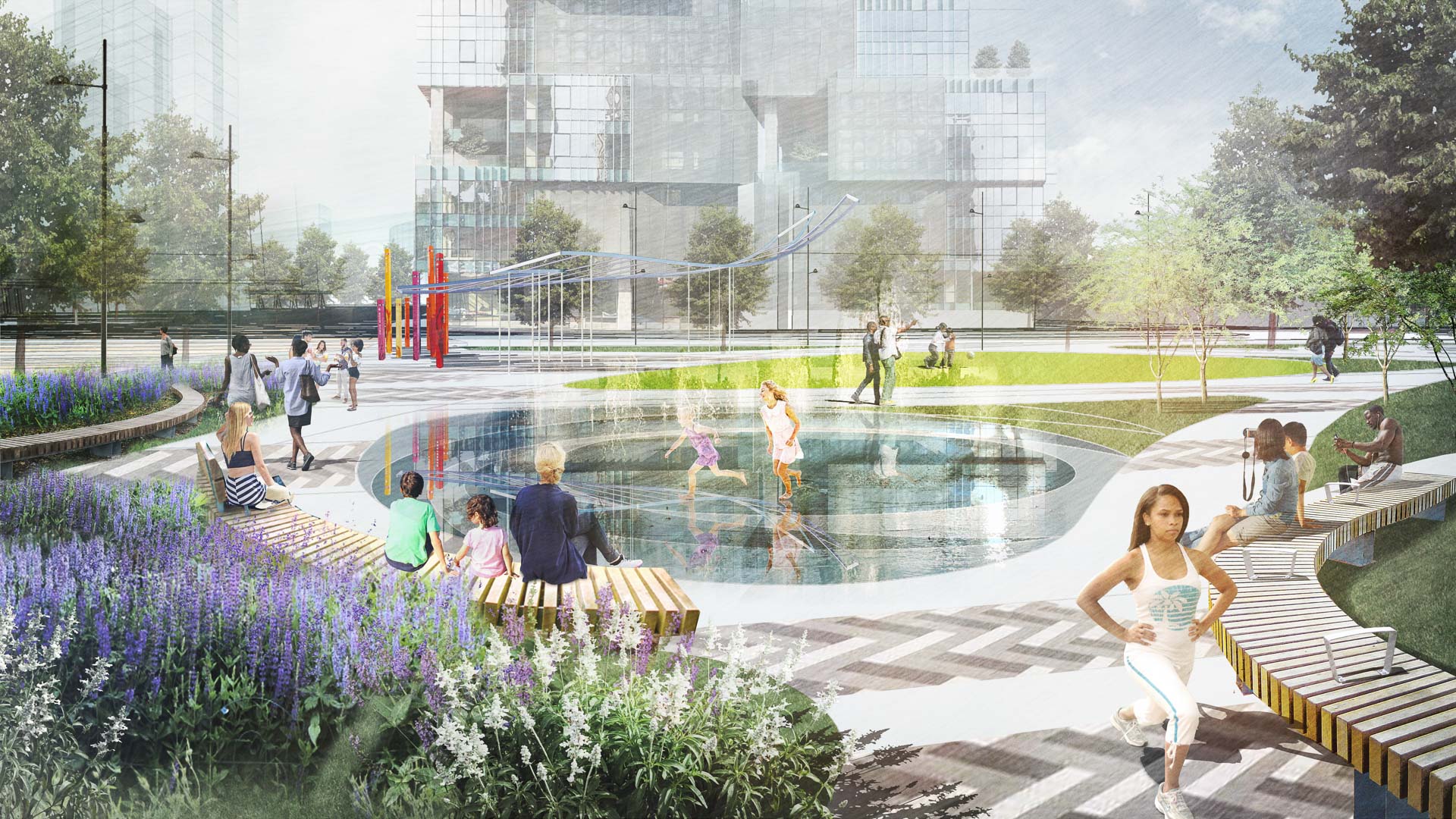
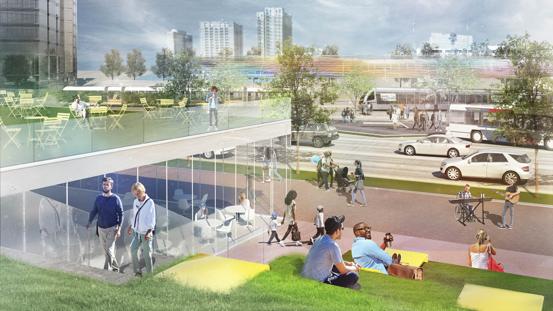
With the coming expansion and realignment of the highways around Downtown Houston, SWA identified the opportunity to enact a bold vision: a multi-use branded connectivity system that will leverage the immense reconstruction investment. SWA’s concept creates a continuous pedestrian loop over, under, and around the downtown highway system, thus redirecting the unpleasant experience and appearance of the freeway infrastructure into unique pedestrian-scale experiences while creating meaningful exchanges among neighborhoods and urban districts. The loop re-imagines the civic commons by artfully negotiating topography, land use, and natural resources. The renderings aim to demonstrate strategic investment zones that have the potential to initiate development of the Houston Green Loop. These visuals successfully served as a tool for communicating possibilities and investment value to the mayor’s stakeholder committee, which is comprised of prominent city officials, entrepreneurs, and philanthropists. As one example of a sustainable gesture along the Loop, at Frostown Crossing, the design proposal creates an outdoor amenity along a detention pond that is activated by the restoration of a historic bridge.
Envision Willowick
The Cities of Garden Grove and Santa Ana are developing a “vision” for redevelopment of the Willowick Golf Course site. This process explored conceptual land use options that are formed by community and stakeholder collaboration and input. The Visioning is intended to be used to guide the preparation of development plans for Willowick. The visioning...
Hennepin Avenue
Hennepin Avenue is the oldest street in Downtown Minneapolis, and has gone through multiple transformations over time. The street is undergoing a major reconstruction, and SWA is leading the effort to enhance the character of Hennepin for years to come. The conceptual approach was developed through a robust public engagement process, and touches on the three m...
Katy Trail
Katy Trail represents a remarkable resource for the residents of the Dallas Fort Worth region. This project enlivens and makes accessible right-of-way established by the storied, but later abandoned, Missouri-Kansas-Texas (better known as the “Katy”) line, and serves as a unifying element for the surrounding neighborhoods. Katy Trail provides appro...
NOAH Ethnographic Village
Armenia has set an initiative to increase global tourism and develop a site within its capital city with majestic views of Mount Ararat, where Noah’s Ark is purported to have landed. SWA developed a strategic plan based on several principles derived from the existing context of the site: first, to capitalize its proximity to important landmarks that allow for ...


