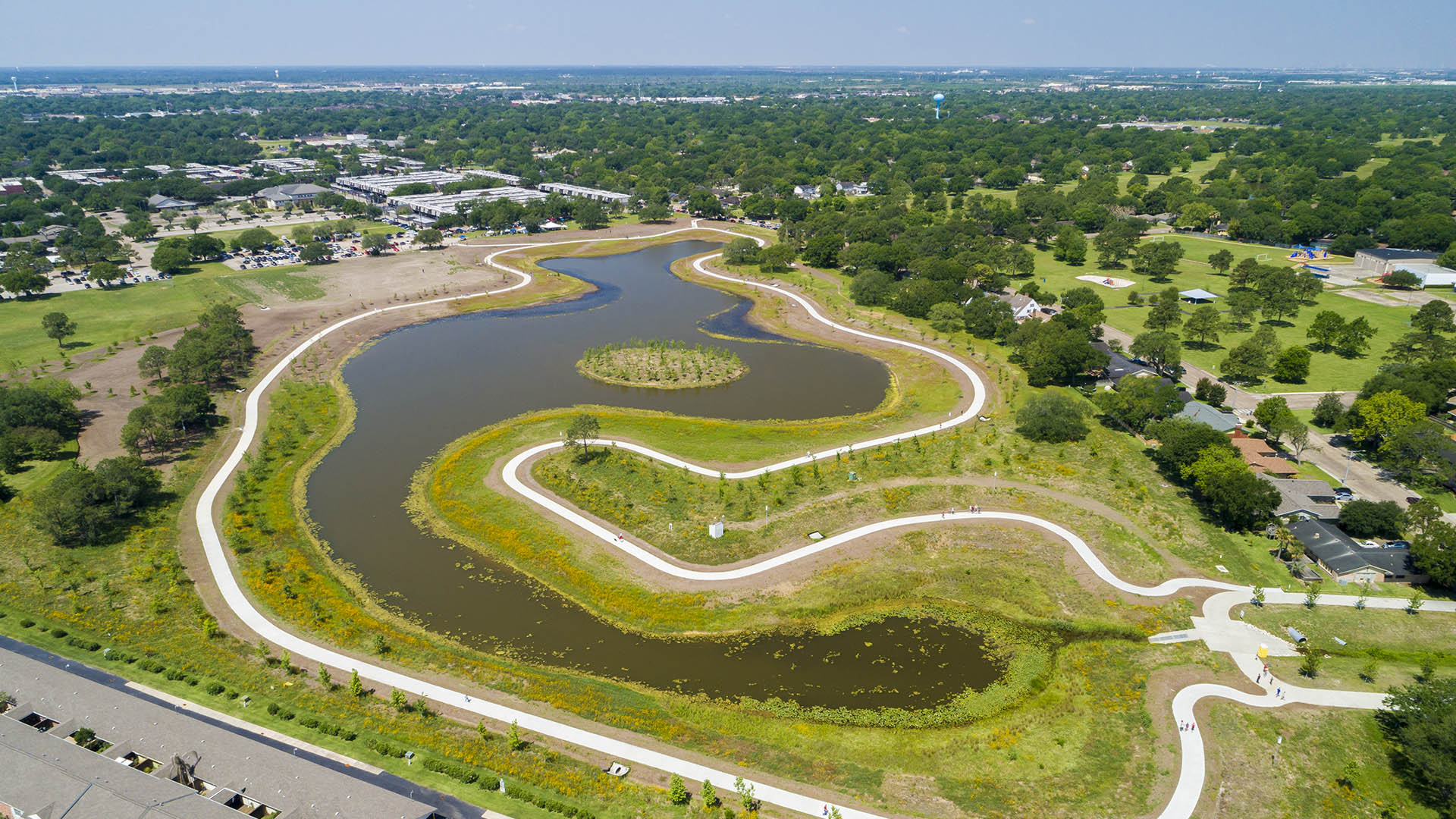
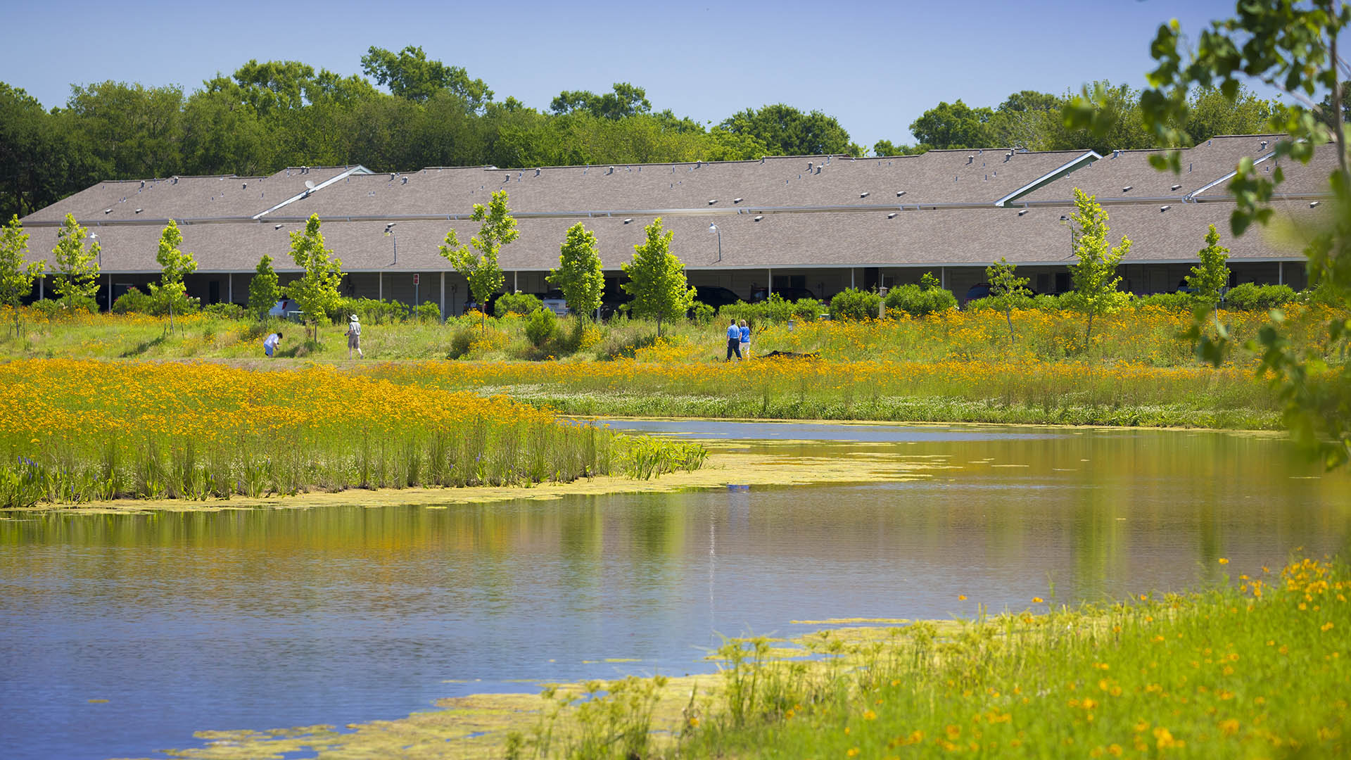
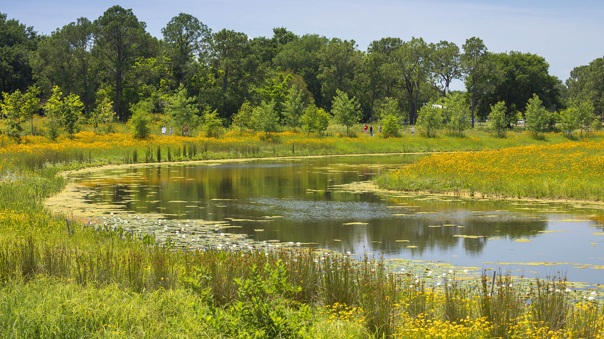
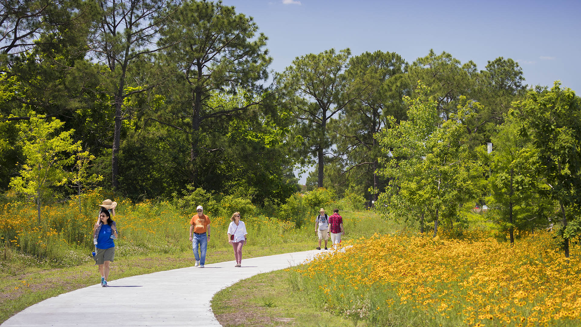
As climate threats escalate, cities face the challenge of protecting their residents from the devastating impacts of intensifying storms and flooding. For Houston, a city all too familiar with the destructive power of hurricanes, Exploration Green enhances community resilience by converting a 178-acre defunct golf course into a multifunctional green space.
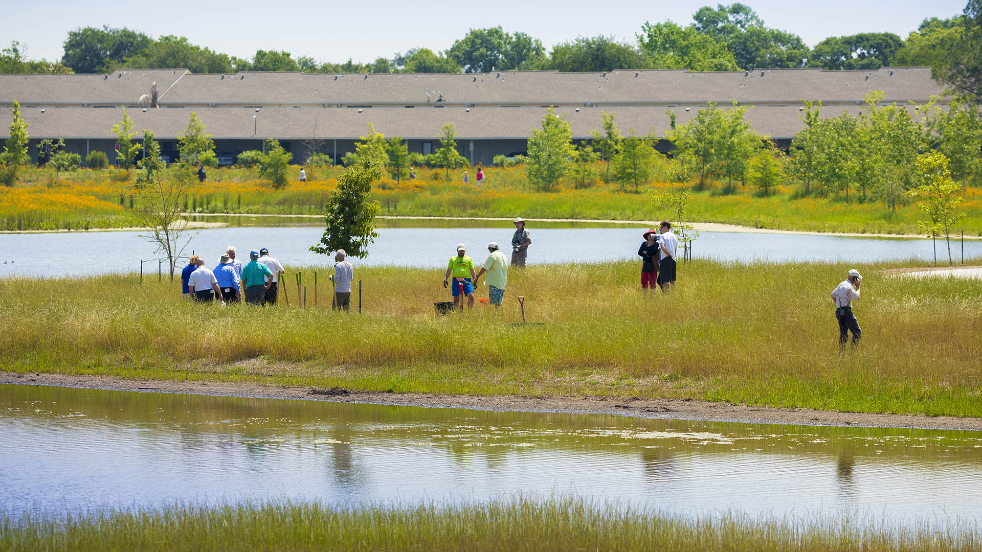
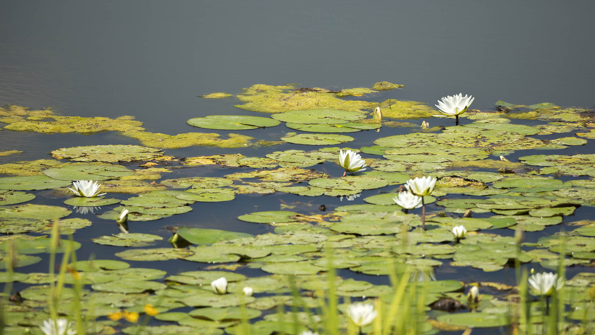
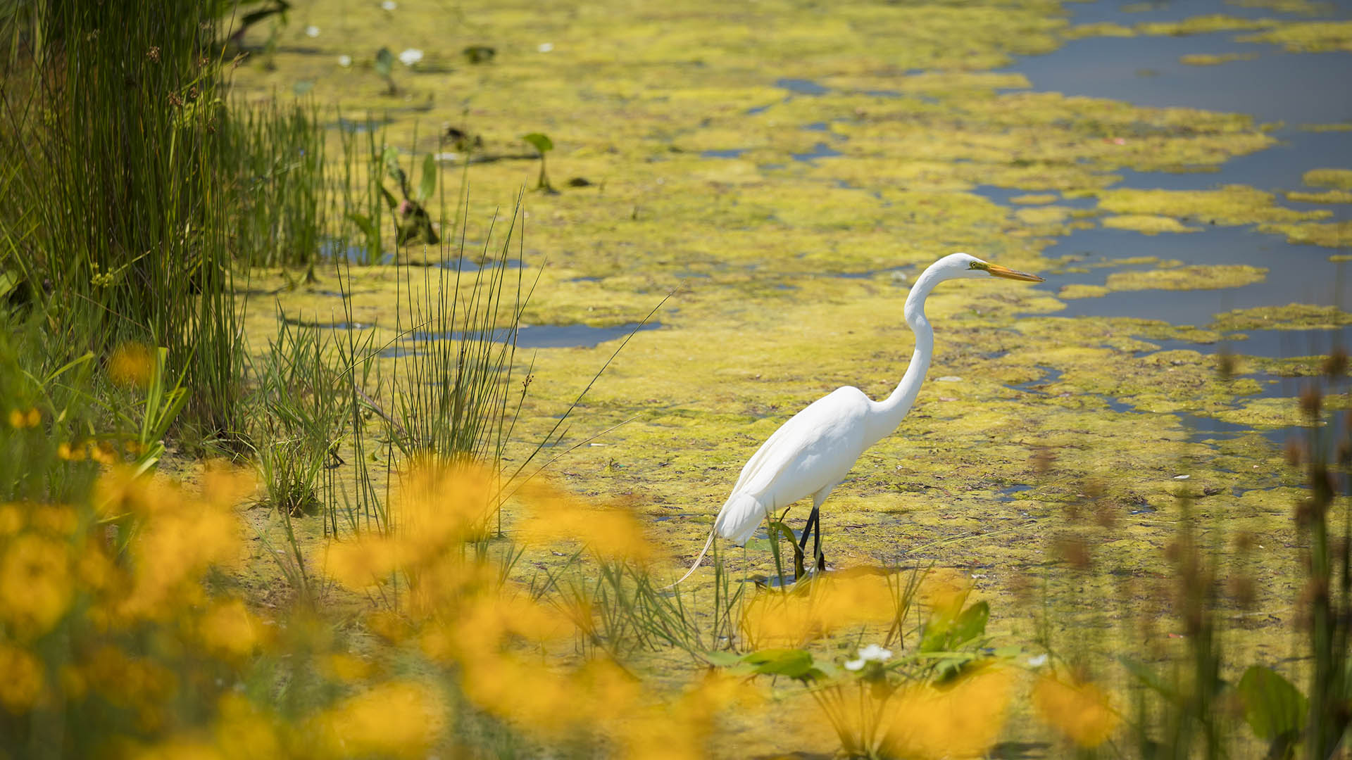
The site integrates flood mitigation, water quality enhancement, habitat restoration, and recreational amenities to the benefit of residents and nature alike. Ongoing volunteer programs, educational workshops, and on-site community events instill a sense of stewardship and pride among residents. Native vegetation, cultivated in the on-site nursery, creates an impressive range of habitats that invite wildlife to flourish, while miles of trails provide opportunities for leisurely strolls, invigorating bike rides, and moments of quiet contemplation. Between these pathways lie detention ponds capable of storing up to 500 million gallons of stormwater, alleviating flood risks for over 3,000 neighboring homes. Wetland buffers capture and filter stormwater runoff, reducing pollutants and sedimentation.
Exploration Green’s achievements have garnered recognition as a case study for effective floodplain management by FEMA, setting a powerful precedent for communities worldwide.
Nanjing International Youth Cultural Centre
SWA was retained to design the landscape of this mixed-use development collaboratively with Zaha Hadid Architects. It contains performing arts, hotel, residential, office and retail functions. Located adjacent to SWA’s Nanjing Youth Olympic Park, the design strives to merge architecture, the park landscape, and people at this iconic focal point. Landform...
High Island Audubon Canopy Walk
Amidst the flats of the Gulf Coast lies High Island, a salt dome mound with a century-long legacy of oil extraction. Today, High Island has become an international haven for avian enthusiasts. Nature sanctuaries managed by the Houston Audubon Society (HAS) attract migratory birds, fostering a vibrant ecosystem where various species flourish.
In collabor...
Bray's Bayou
Stretching 35 miles from the mouth of the Houston Ship Channel westward through residential, commercial and institutional developments, Brays Bayou is one of the most important waterways in Harris County, and a critical link in the area’s watershed. The $450-million project was first established in the early 2000s, with the goal of mitigatin...
Shenzhen Bay
Situated just across the bay from Hong Kong, the city of Shenzhen has transformed from a small fishing town of 30,000 to a booming city of over 10 million people in 40 years – and has grown over 200 times its original size since 1980. Along the way, the character of Shenzhen’s bayfront was radically altered. Over 65 km2 of marsh and shallow bay were filled to ...


