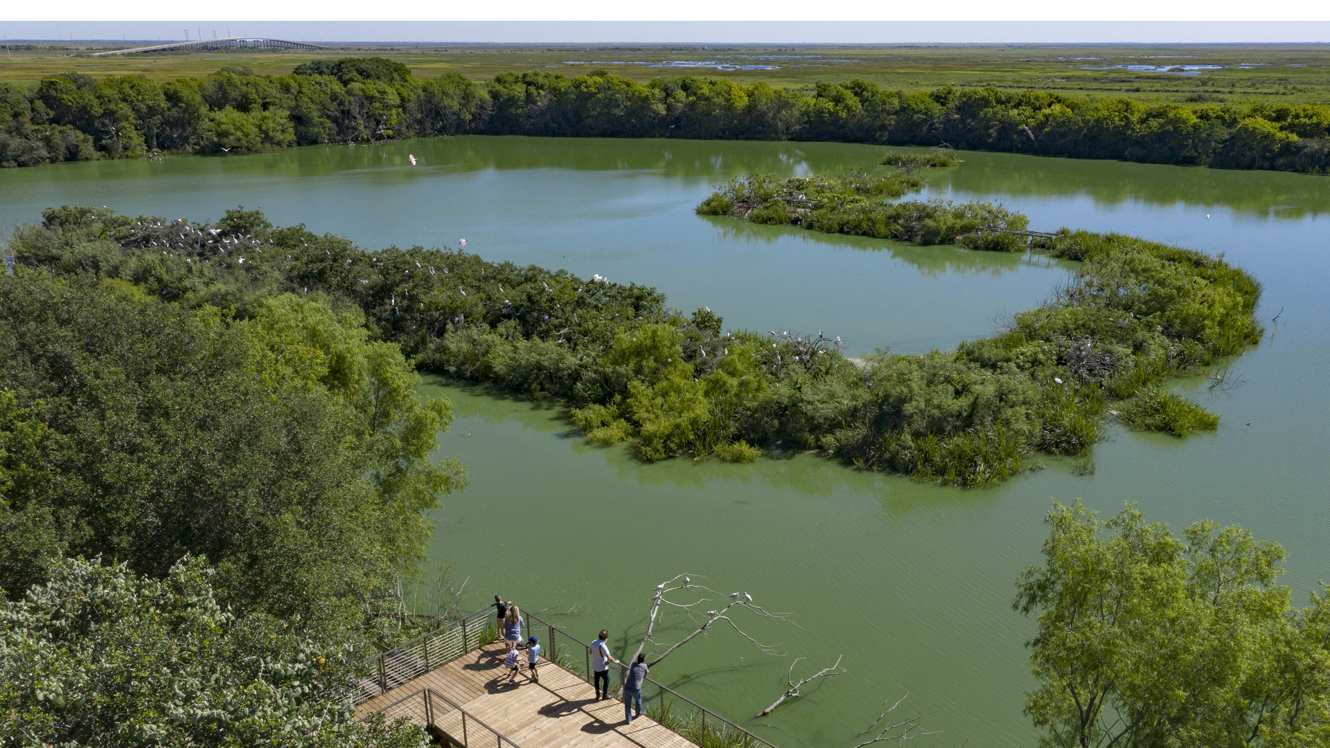
Amidst the flats of the Gulf Coast lies High Island, a salt dome mound with a century-long legacy of oil extraction. Today, High Island has become an international haven for avian enthusiasts. Nature sanctuaries managed by the Houston Audubon Society (HAS) attract migratory birds, fostering a vibrant ecosystem where various species flourish.
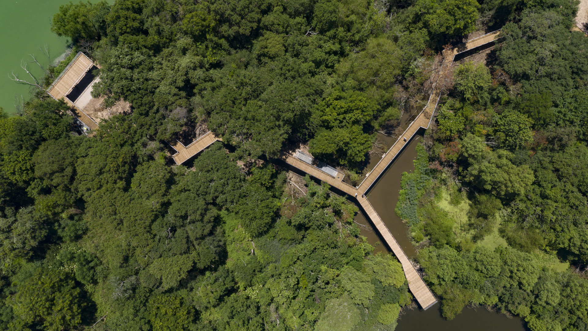
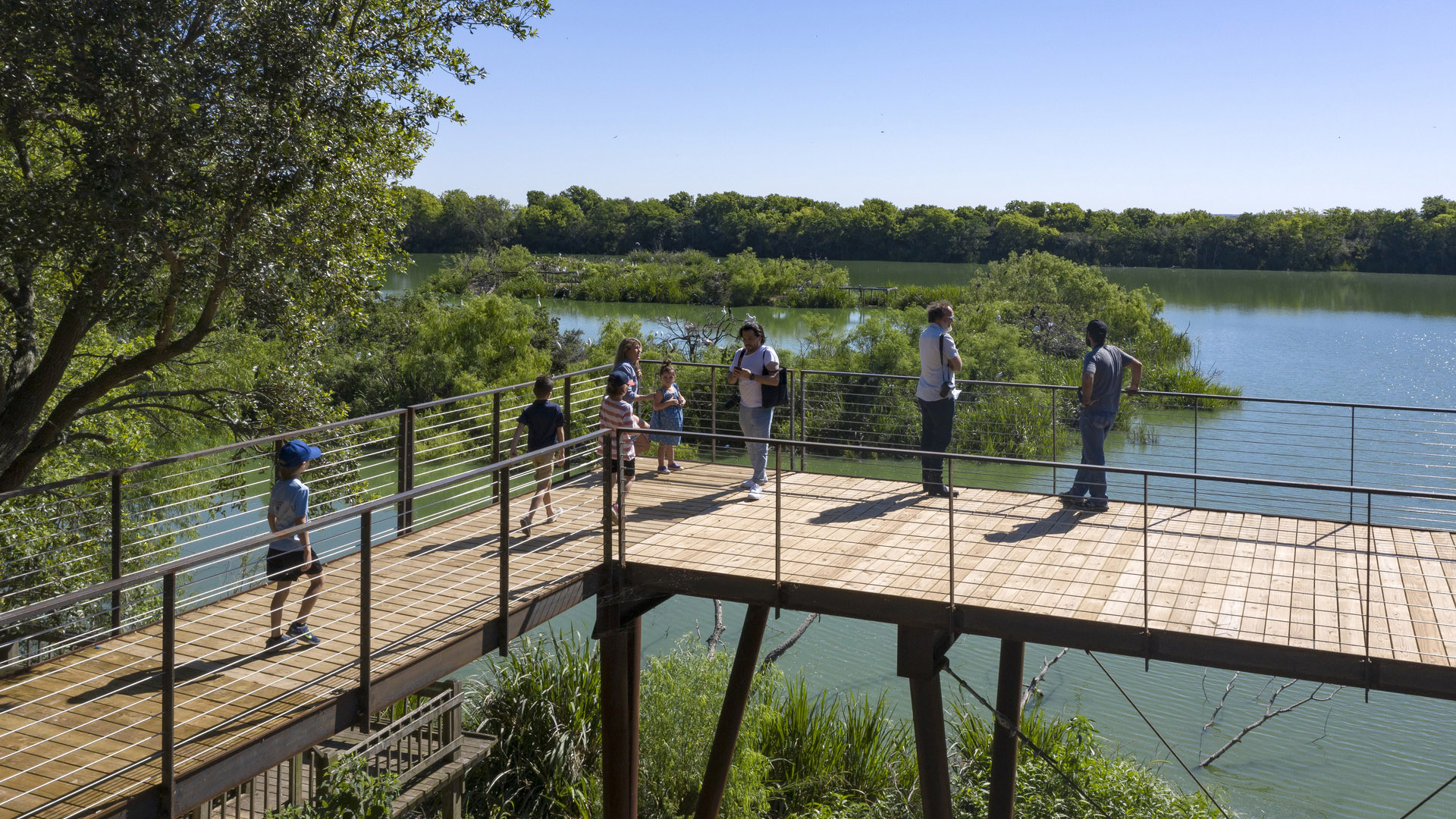
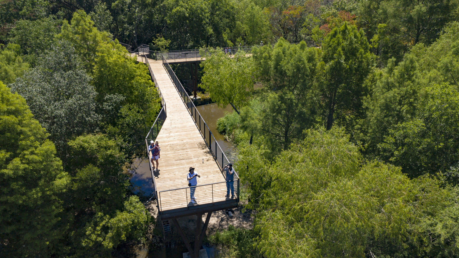
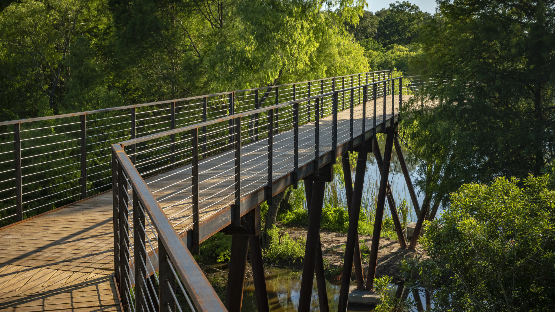
In collaboration with HAS, SWA devised a comprehensive facilities master plan aimed at creating an unparalleled “destination experience” for the birdwatching community. At its core stands a breathtaking 700-foot-long Canopy Walk, a sinuous pathway weaving through the natural arboreal canopy. This feature guides visitors to man-made island overlooks, offering intimate glimpses of nesting egrets, spoonbills, and cormorants.
Throughout the design phase, the team maintained a commitment to habitat preservation and project longevity. The boardwalk minimizes disruption to the existing ecosystem, intricately threading through heritage oaks and towering trees while mimicking tree structures to blend in.
The redesigned pumphouse at the threshold of the boardwalk is now an open-air pavilion, welcoming guests and serving as a versatile venue for events. Resilient structural elements and durable materials ensure the project can withstand the harsh coastal environment.
Sims Bayou
The story of Sims Bayou is based on a large vision. The project is the first step in implementing a long-range plan for watershed greenbelts in the Houston region, a comprehensive system which addresses the potential for parks, wildlife habitat, and economic real estate revitalization while also controlling flooding. The Sims Bayou project has profoundly chang...
Nanjing International Youth Cultural Centre
SWA was retained to design the landscape of this mixed-use development collaboratively with Zaha Hadid Architects. It contains performing arts, hotel, residential, office and retail functions. Located adjacent to SWA’s Nanjing Youth Olympic Park, the design strives to merge architecture, the park landscape, and people at this iconic focal point. Landform...
Exploration Green
As climate threats escalate, cities face the challenge of protecting their residents from the devastating impacts of intensifying storms and flooding. For Houston, a city all too familiar with the destructive power of hurricanes, Exploration Green enhances community resilience by converting a 178-acre defunct golf course into a multifunctional green space.
...Changsha Baxizhou Island
Over many decades, public agencies in China have sought to solve growing flooding issues in a defensive way: fortifying and hardening river edges, raising levee heights, and ultimately separating the people from historical connections to the water. With an understanding of river flow processes and volumes and of wetland and native forest ecology, this separati...


