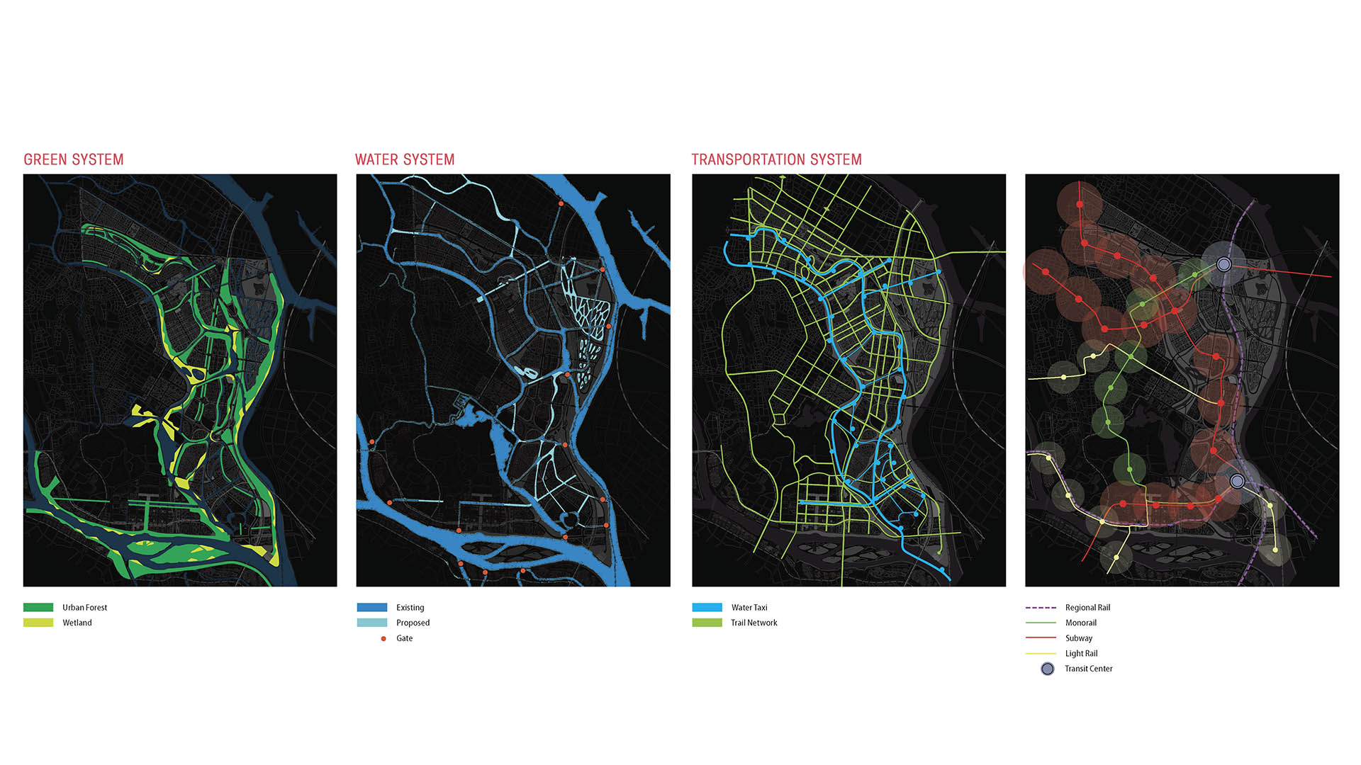
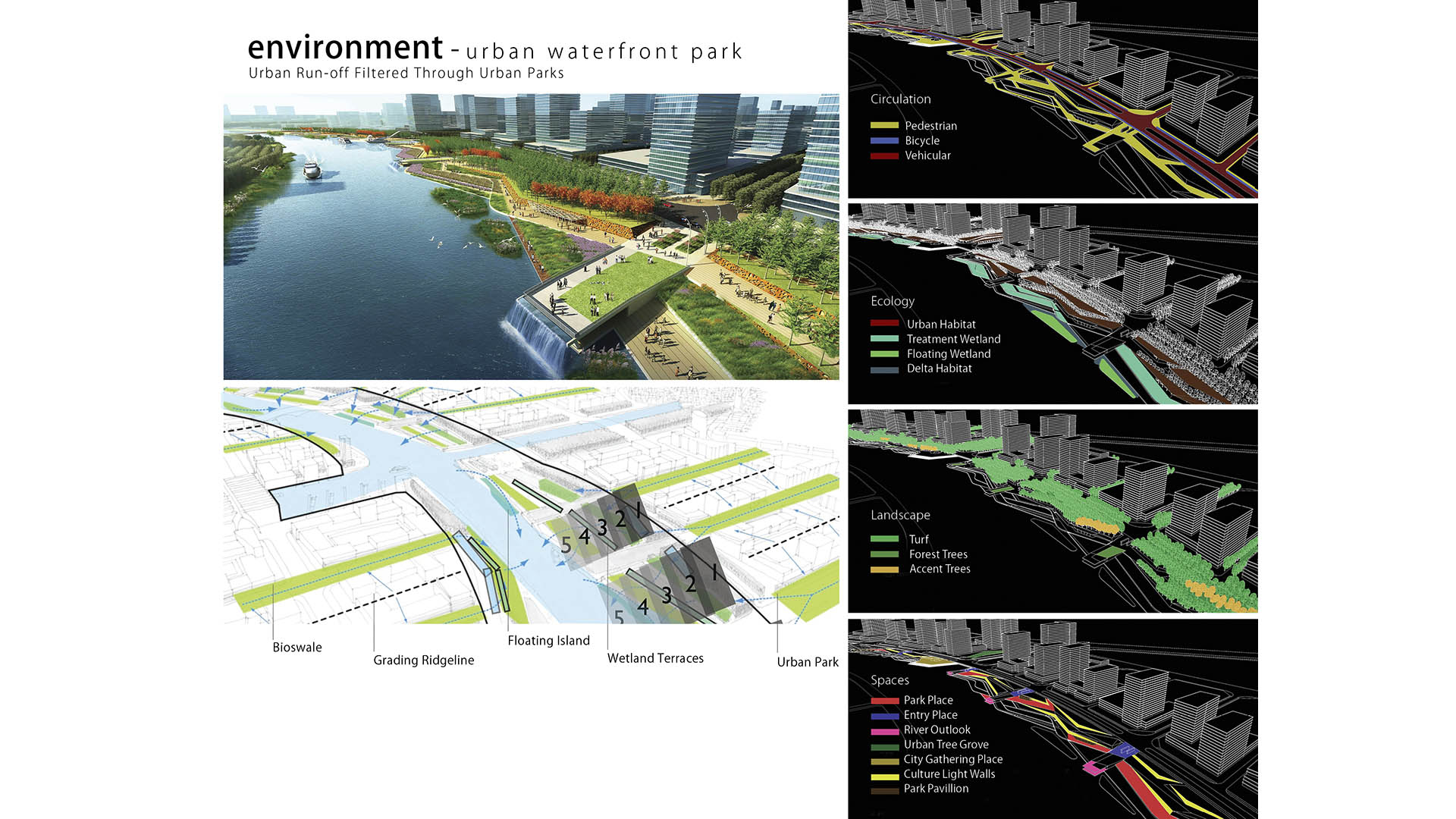
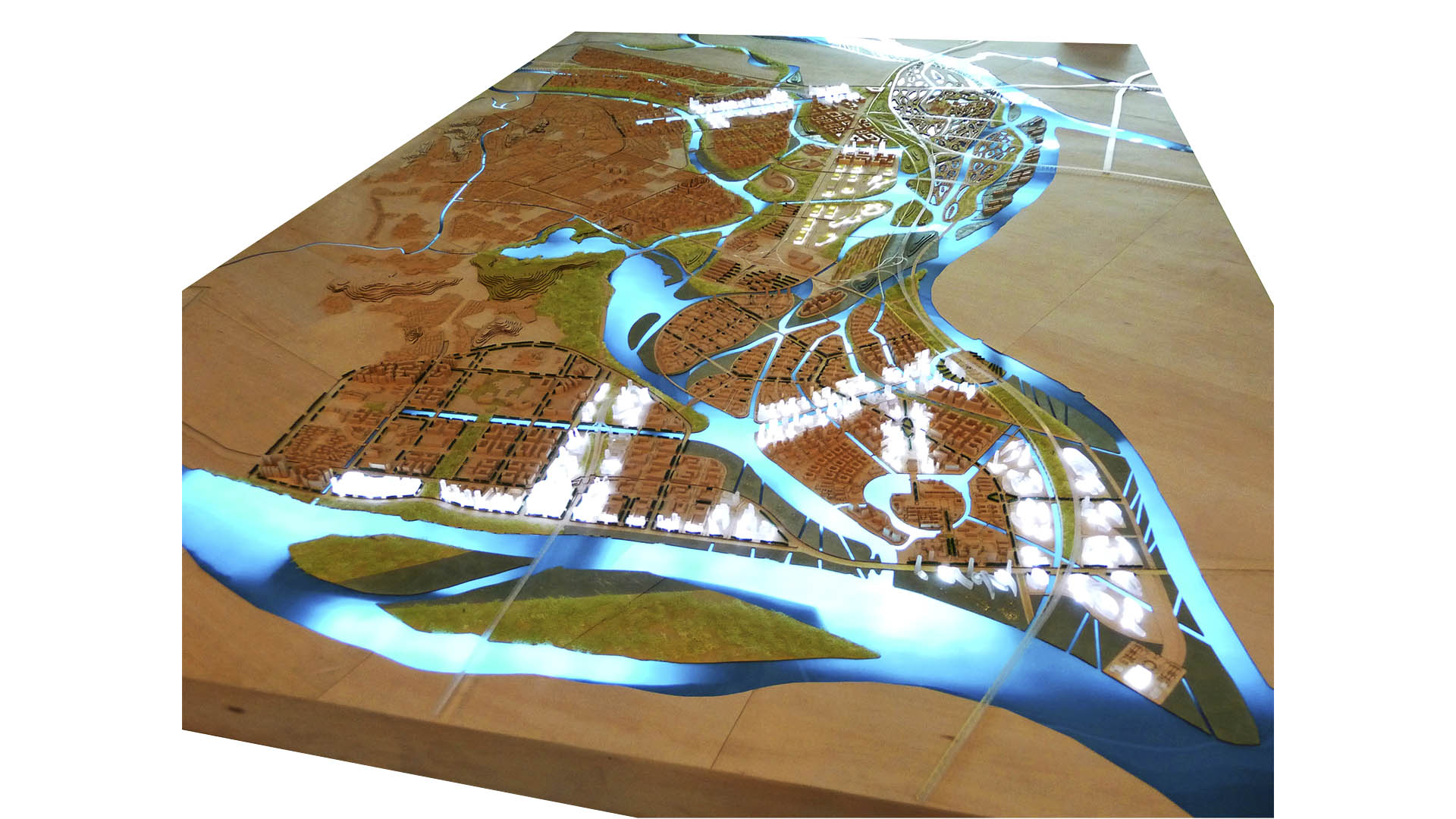
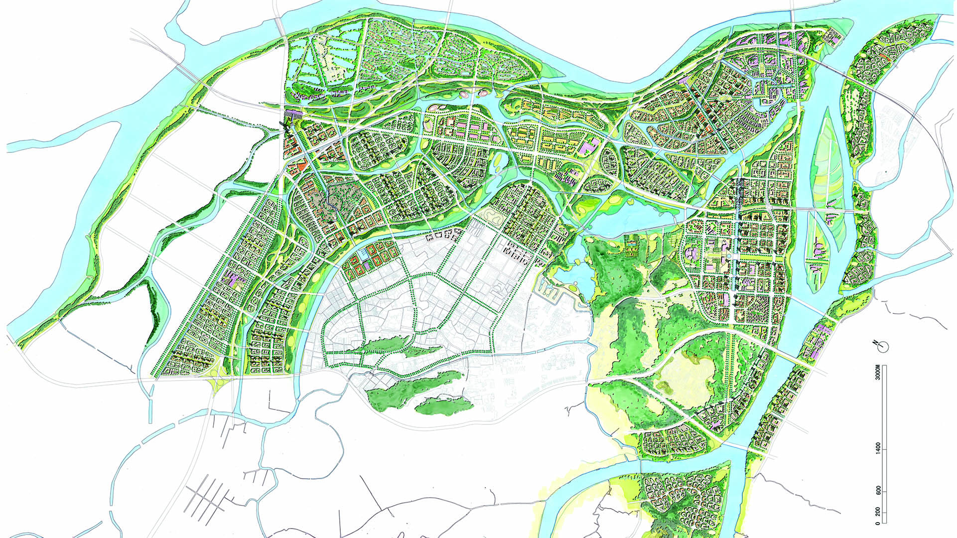
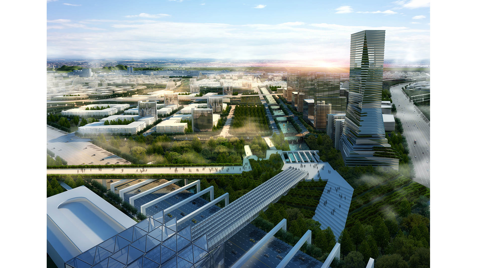
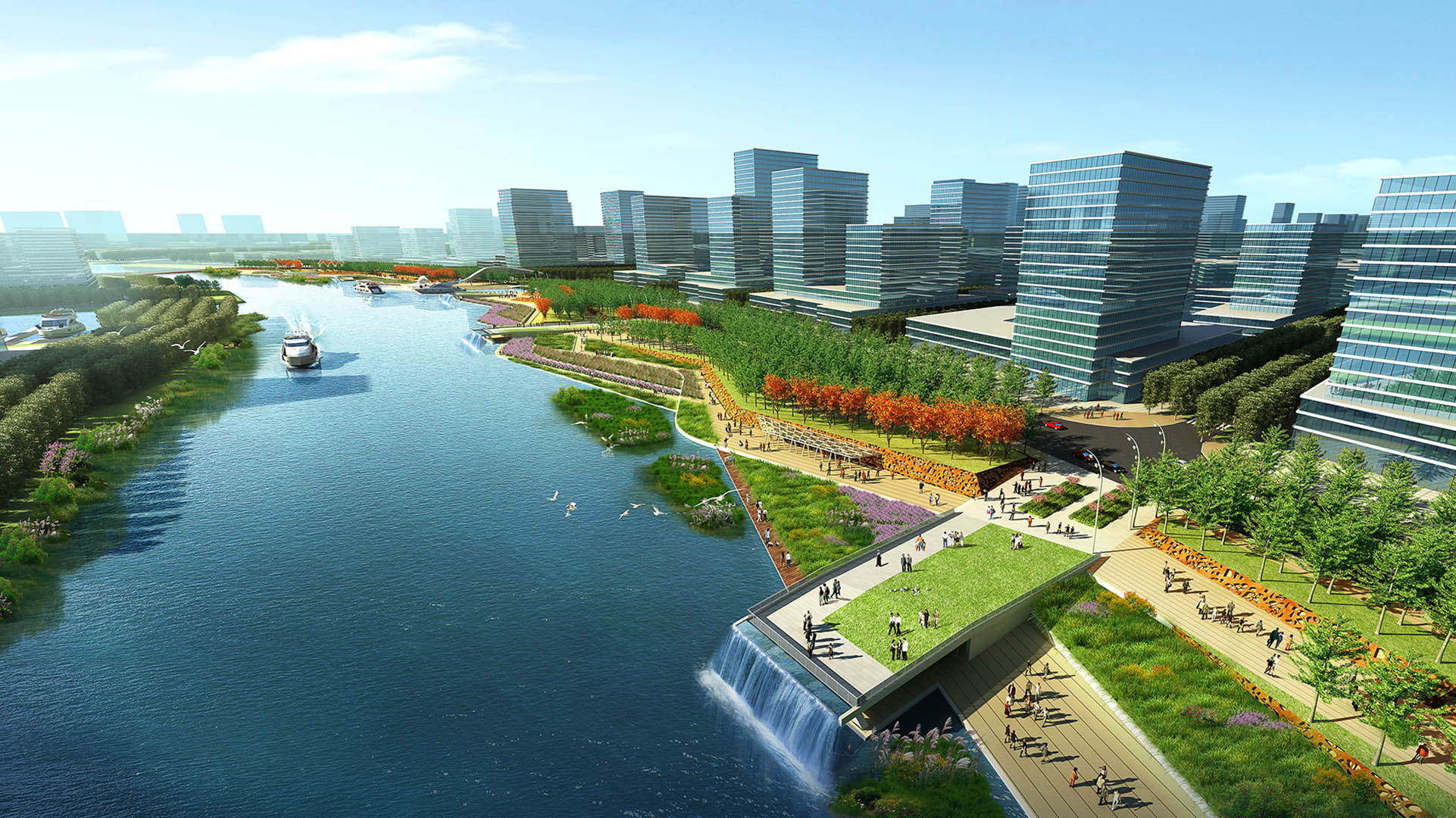
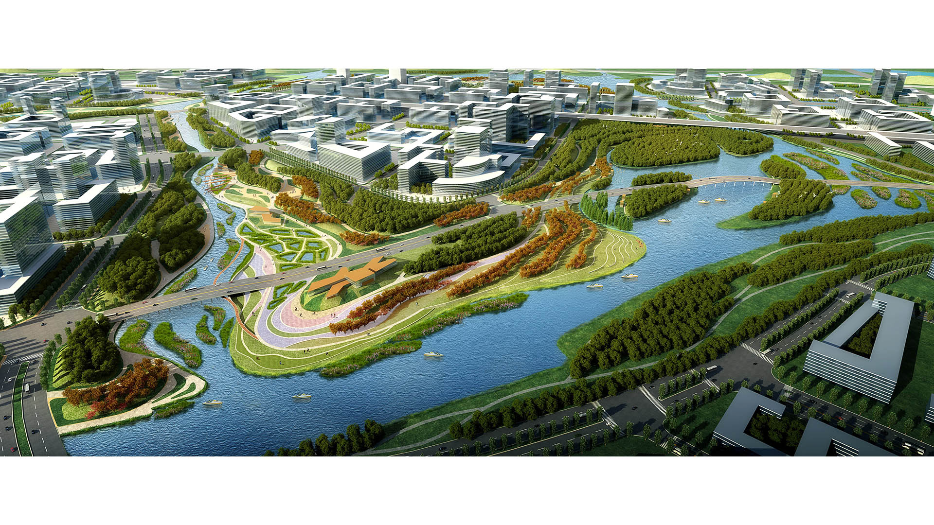
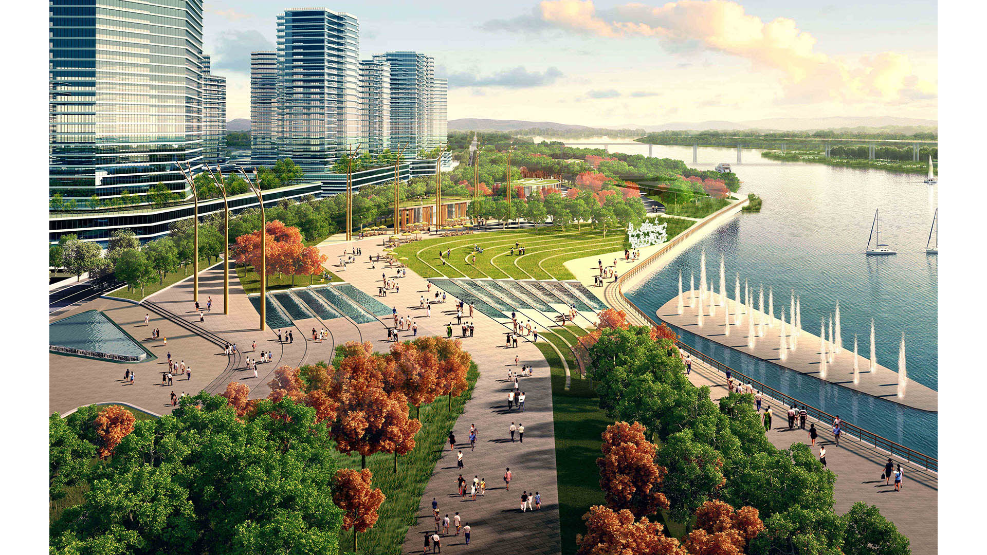
The Pearl River Delta is the second largest bird migration delta and estuary in Southeast Asia. Preserving and restoring bird and wildlife corridors while also providing regional connectivity, transportation, and development options is at the pinnacle of today’s development challenges. In the Shunde New City Plan, urban development and nature are integrated to form a unique and comprehensive system beneficial to both people and the natural environment. The Shunde New City Plan weaves a constructed wetland delta system into a multi-modal, pedestrian-oriented city. At 72 square kilometers, the plan utilizes the form of a wetland delta to break the city fabric into multiple nodes, with water as the connective tissue between development centers. Between water corridors, the plan contains multiple islands as pedestrian-scaled, mixed-use villages linked by an environmental infrastructure containing greenbelts, water corridors, wetlands, and trails.
A layered transportation network and multiple urban centers serve to create connected yet self-contained units of residential, retail, office, educational, and/or civic spaces. Two major stations consolidate regional rail, local monorail, water taxis, buses, and cars for the region. In addition, a comprehensive trail network parallels the greenbelts, and a water taxi system and a monorail network promote connectivity between the neighborhood centers. Throughout the project, human and environmental sustainability takes center stage. Fine-textured neighborhoods with compact blocks and small street cart-ways contribute to a human-scaled, walkable environment. The plan proposes compact blocks and a fine-scaled network of streets designed as human corridors, augmenting the pedestrian environment and allowing for a more delicate, environmentally-sensitive approach to planning and development. The net effect is a greater number of smaller streets, collectively mitigating traffic while expanding circulation choice. This smaller-grained fabric encourages walkability, reinforces a sense of place, and creates more development parcels and opportunity for architectural variation.
City Creek Center
In the heart of Salt Lake City, City Creek Center is the retail centerpiece of one of the nation’s largest mixed-use downtown redevelopment projects. This unique fashion and dining destination includes a new two-story retail center and over 500 residential rental units over four levels of underground parking, all within a downtown setting that features s...
San Diego Embarcadero
The redevelopment plan for the waterfront and port facilities adjacent to downtown San Diego included translating community and economic requirements into a specific planning program. Emphasis was placed on urban design, circulation and parking, landscaping, environmental planning, and engineering considerations with a set of comprehensive implementation guide...
Mason Park Bridge
Prior to construction of this Brays Bayou feature, road and rail infrastructure had conspired with the waterway to sever connectivity between parks and surrounding neighborhoods. The Mason Park Pedestrian Bridge, part of a larger effort including trails, seating plazas, lighting, and planting, connects the north and south parts of the City of Houston’s Mason P...
Ningbo East New Town Eco-Corridor
SWA provided planning and design services for the 3.3km long, 250-acre metropolitan Ningbo Eco-Corridor, which transforms a former agricultural plain that had been taken over by industrial use into urban green infrastructure. Located in the heart of the Yangtze River Delta on China’s coastline, Ningbo is one of China’s oldest cities, with an area of 3,616 squa...


