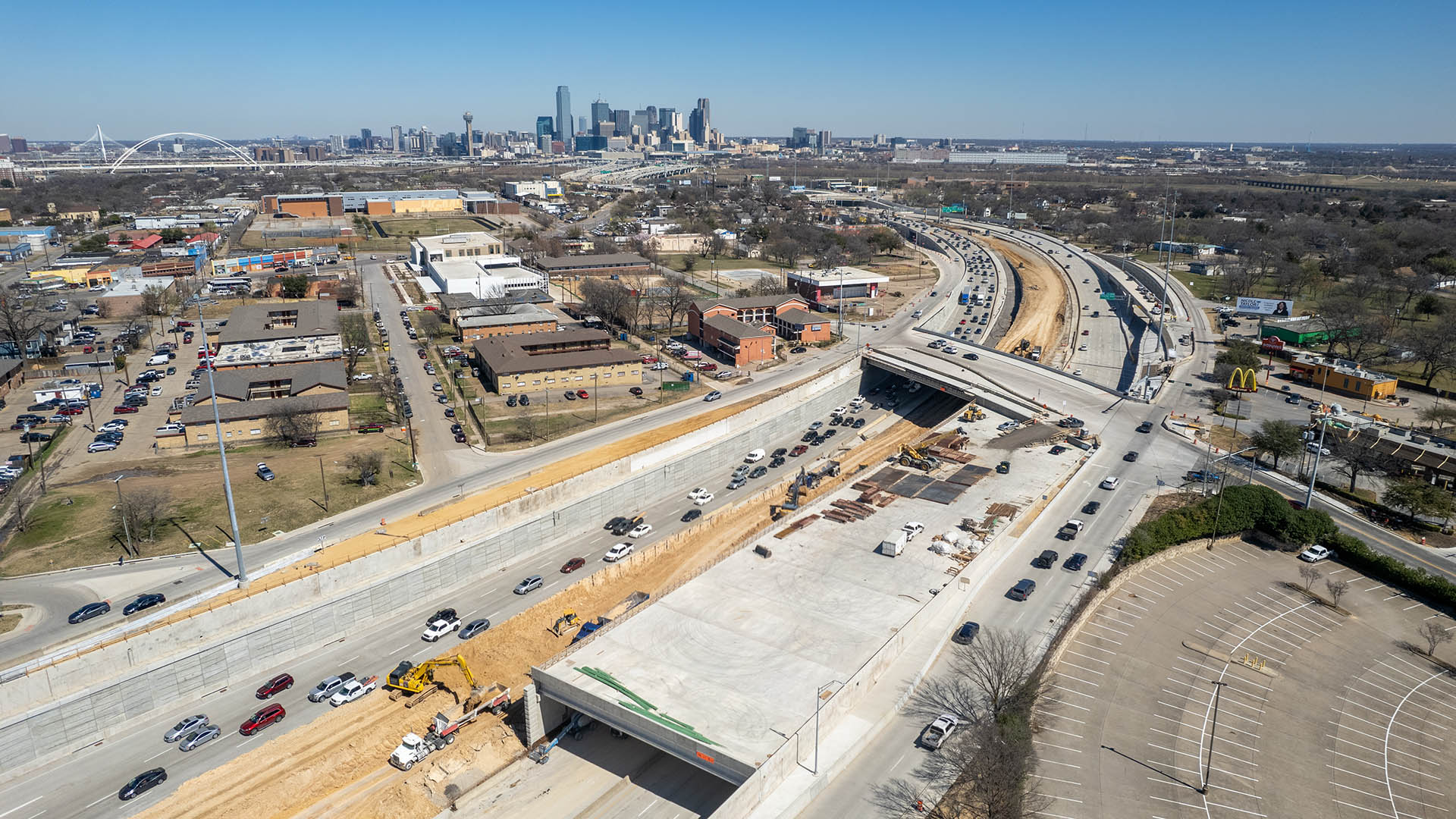
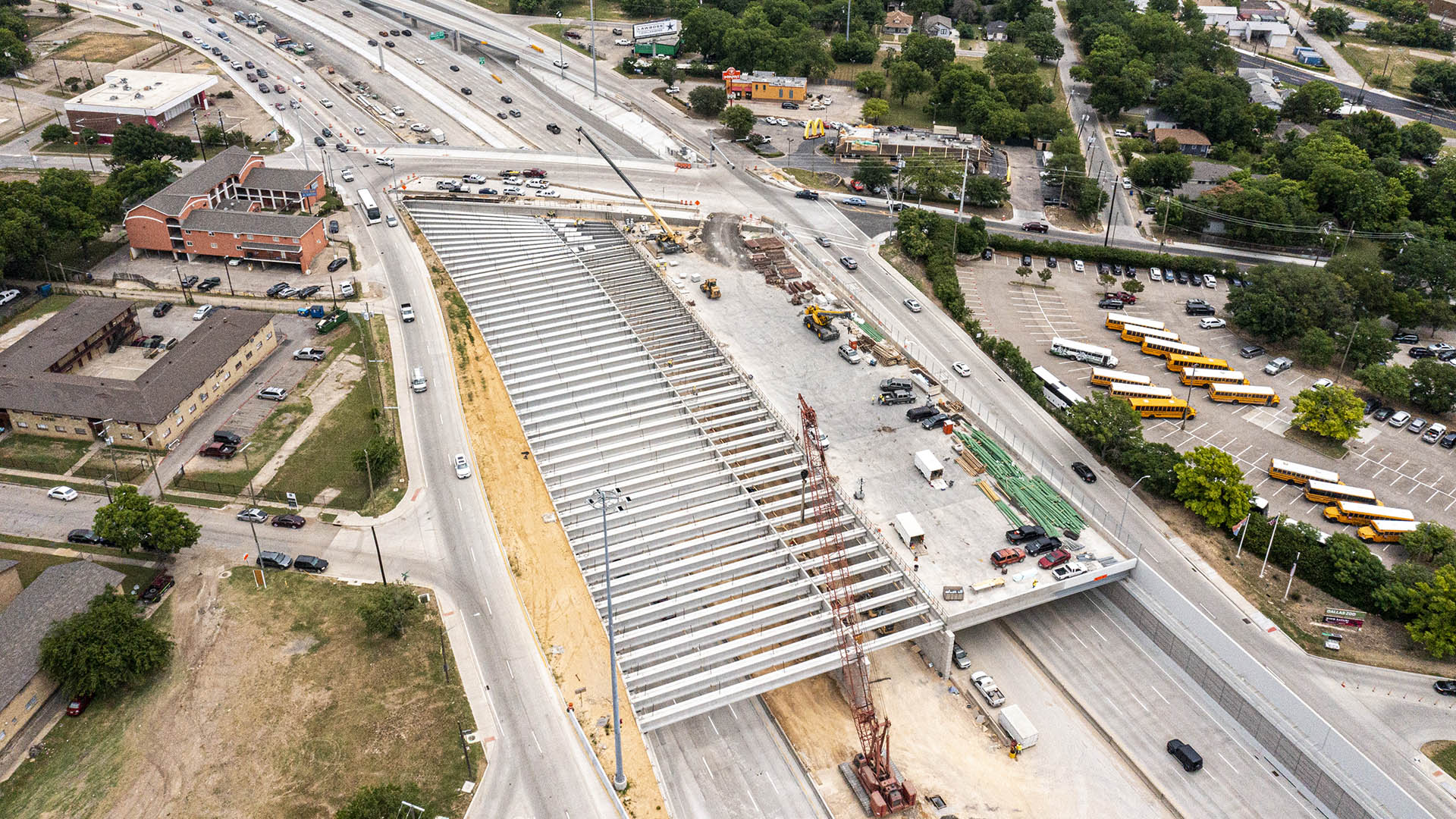
“[Halperin Park] will be an engineering marvel over I-35E, with five acres of wooded slopes, water features, rocky escarpments, a restaurant/retail complex hidden under a hilltop, and one of the most awesome kids’ playgrounds in North Texas. But its greatest achievement may be to make Oak Cliff whole again—and to bring all of Dallas together.”
– Dallas Innovates
Halperin Park (previously known as Southern Gateway Park) caps Highway 35 in South Dallas directly adjacent to the Dallas Zoo and the Oak Cliff neighborhood. The park’s design effectively reconnects the neighborhood, which was cleaved by the highway’s construction many decades ago.
Recognizing the reunification’s significance, the cap park design introduces the 12th Street pedestrian promenade that expresses the importance of this street and doubles as a “history walk.” Here, interpretive elements are introduced to celebrate the people who have shaped this diverse, historic neighborhood.
The park will be built in two phases, beginning with infrastructure to “cap” the highway. The completed park features event spaces, lawns, and a market-style dining and retail area, showcasing the region’s unique geological features.
Design for Halperin Park commenced at the beginning of COVID quarantine. Despite limitations on in-person meetings, a thorough and inclusive public engagement process featured five bilingual workshops and facilitated interaction with several hundred Oak Cliff residents.
The park is a testament to restoring equity and providing great public realm space as a community’s anchor.
Curious? View this video created by the advocates for Halperin Park.
Tianjin Culture Park
In the strategy for the upcoming integration of Beijing, Tianjin and Hebei Province, the city of Tianjin has been identified as an advanced national manufacture and research base, as well as a core area of international shipping, a financial innovation demonstration zone, and a pilot region for the overall reformation of the area. The location of the SWA-desig...
Dubai Hills Boulevard and Public Realm
Envisioned as a garden oasis strategically situated where city meets desert, Dubai Hills will be a vibrant yet elegant mixed-use community for 21st-century living. The key public realm element of this massive 1,000-hectare development is a 5.6-kilometer urban boulevard lined with shops, residences, and offices along the district’s central spine. SWA/Balsley de...
Buffalo Bend Park
Houston’s East End is a bifurcated community, with heavy industry brushing up against a vibrant and culturally diverse residential area. Answering residents’ call for more park space, SWA created Buffalo Bayou Bend Nature Park by converting a formerly neglected industrial site into a wetland ecosystem and public green space.
Three interconnected ponds, ...
South Waterfront Greenway
A bold new plan for the area along the Willamette River includes a 1-1/2 mile extension of the City’s downtown’s parks and the reclamation of the river’s edge for public recreation. Working closely with the City of Portland, developers, and natural resource advocates, the design team devised a rational plan that places access and activity in targeted nodes wit...


