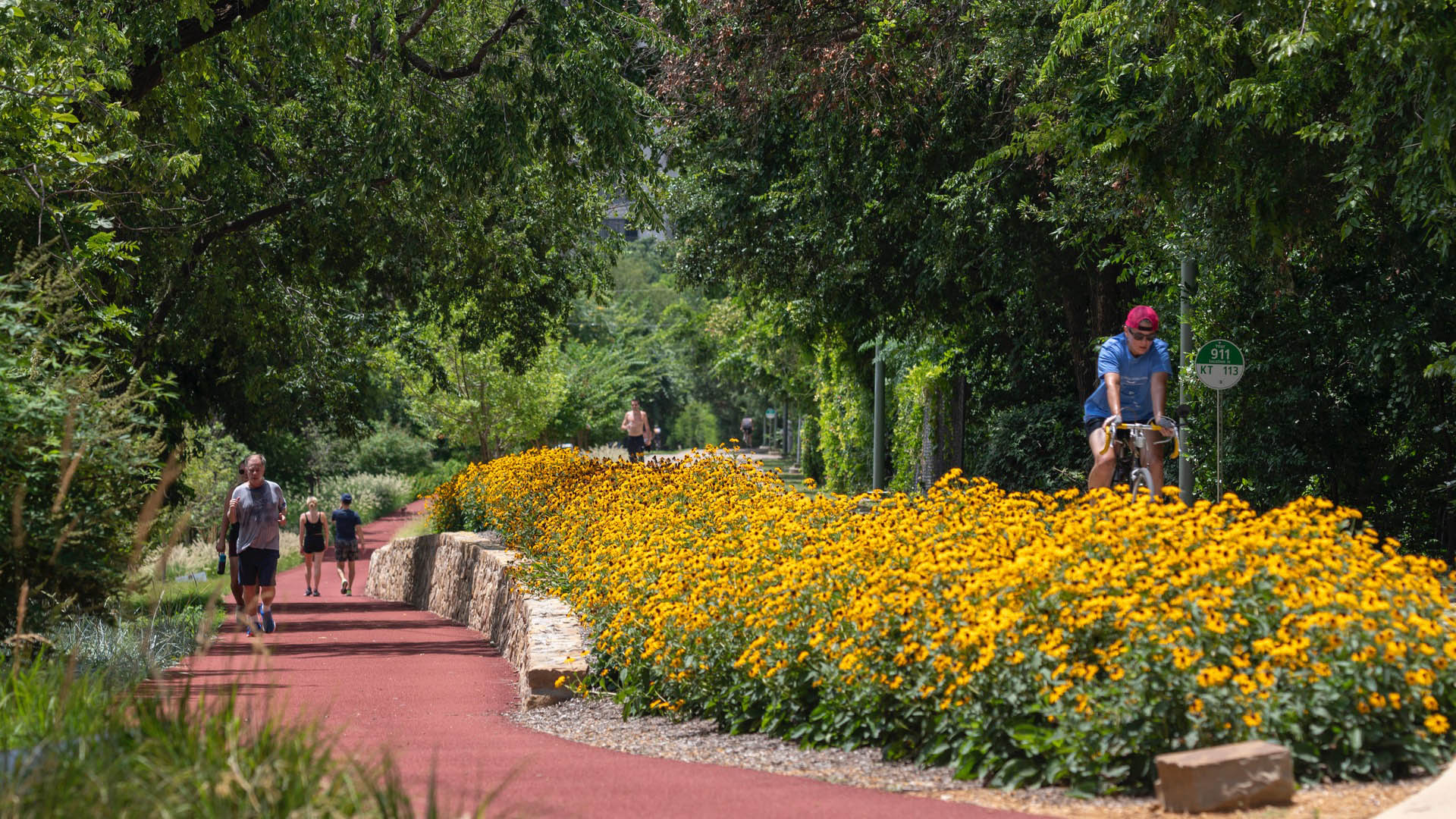
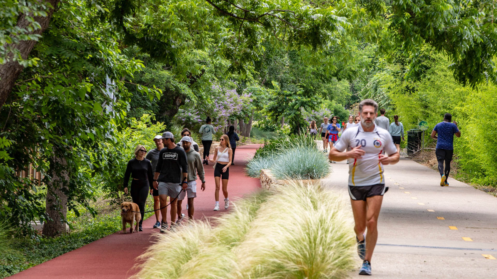
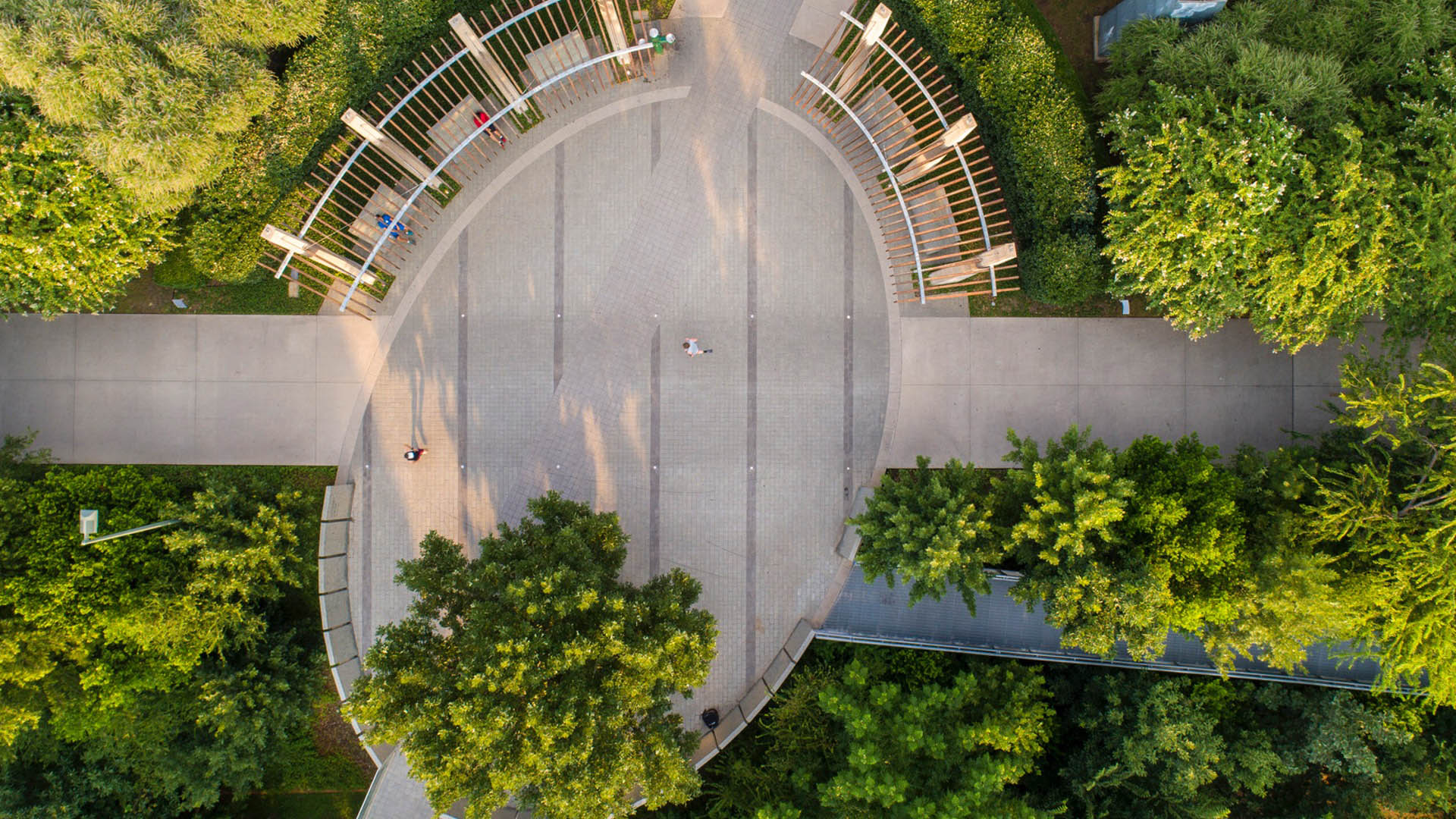
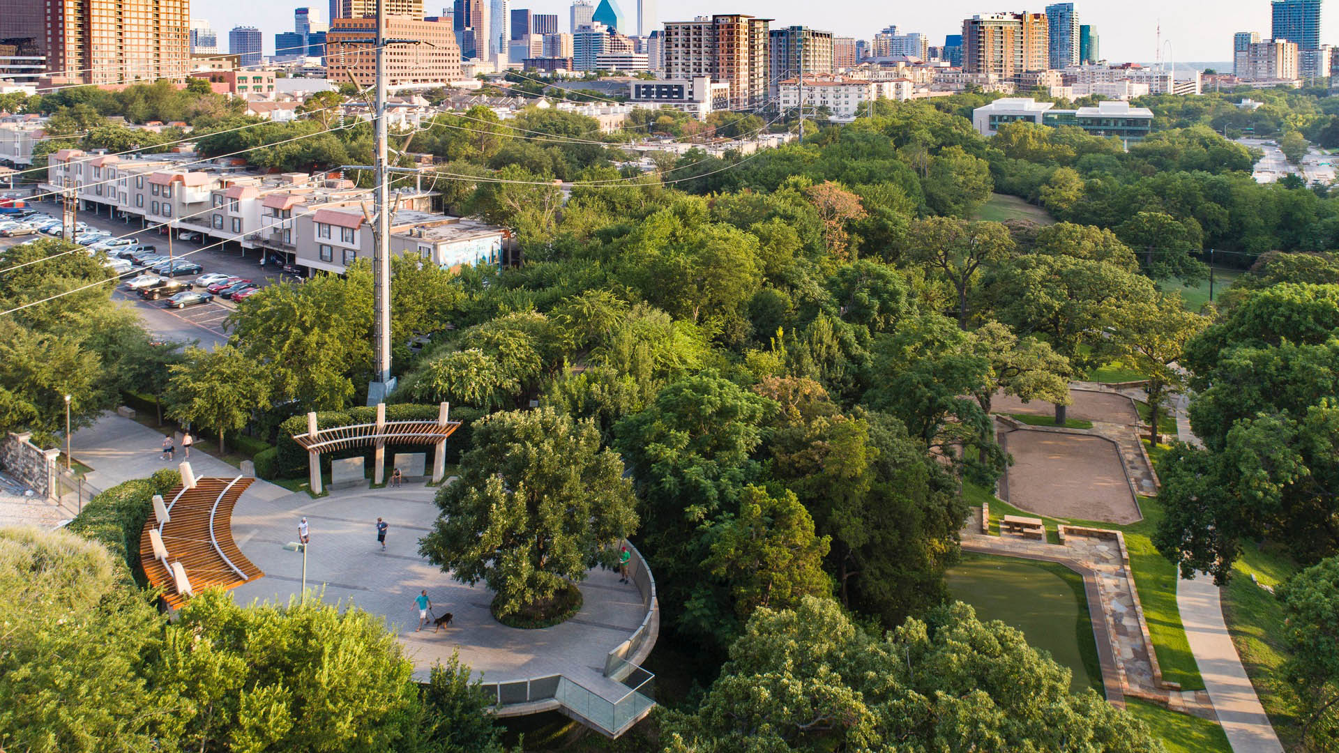
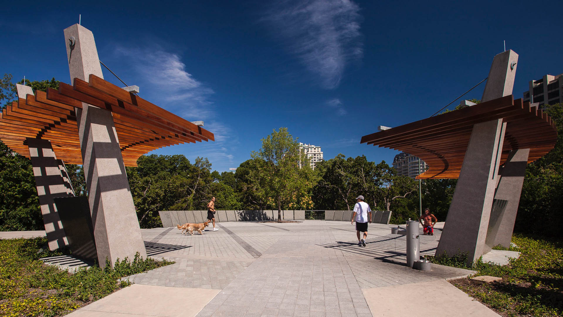
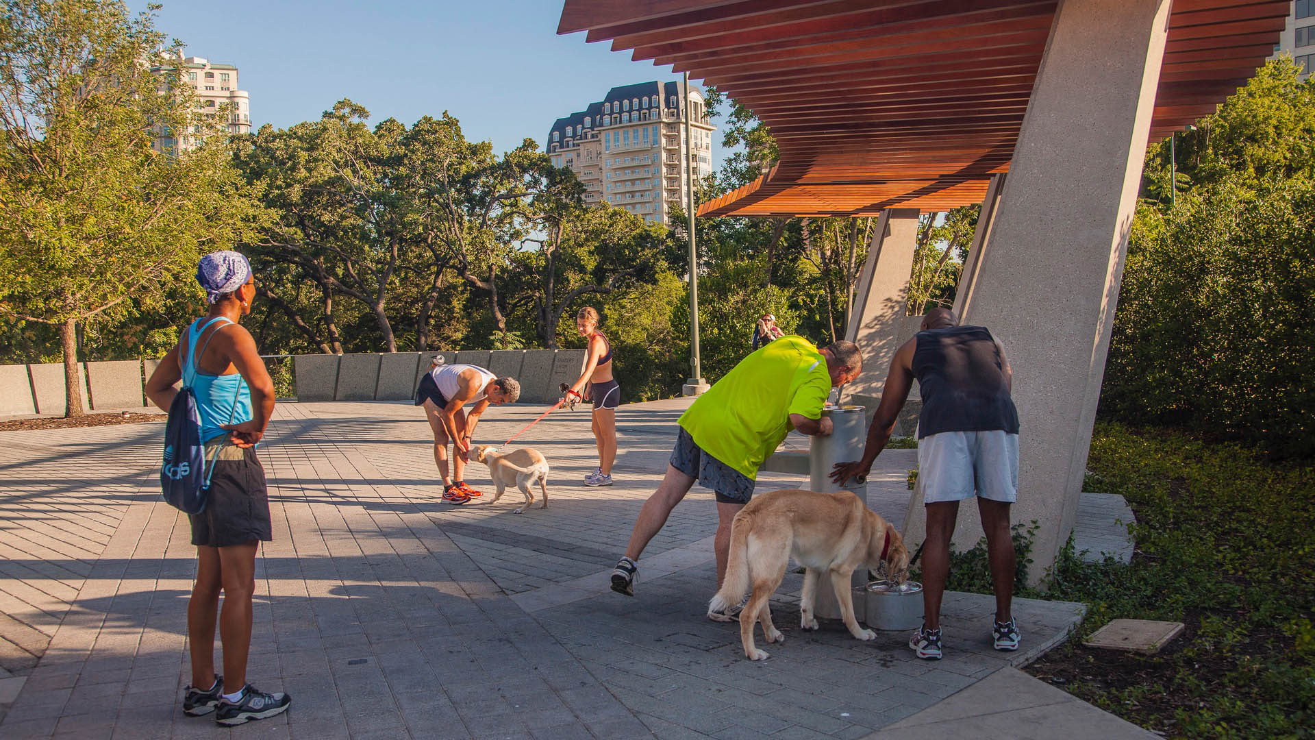
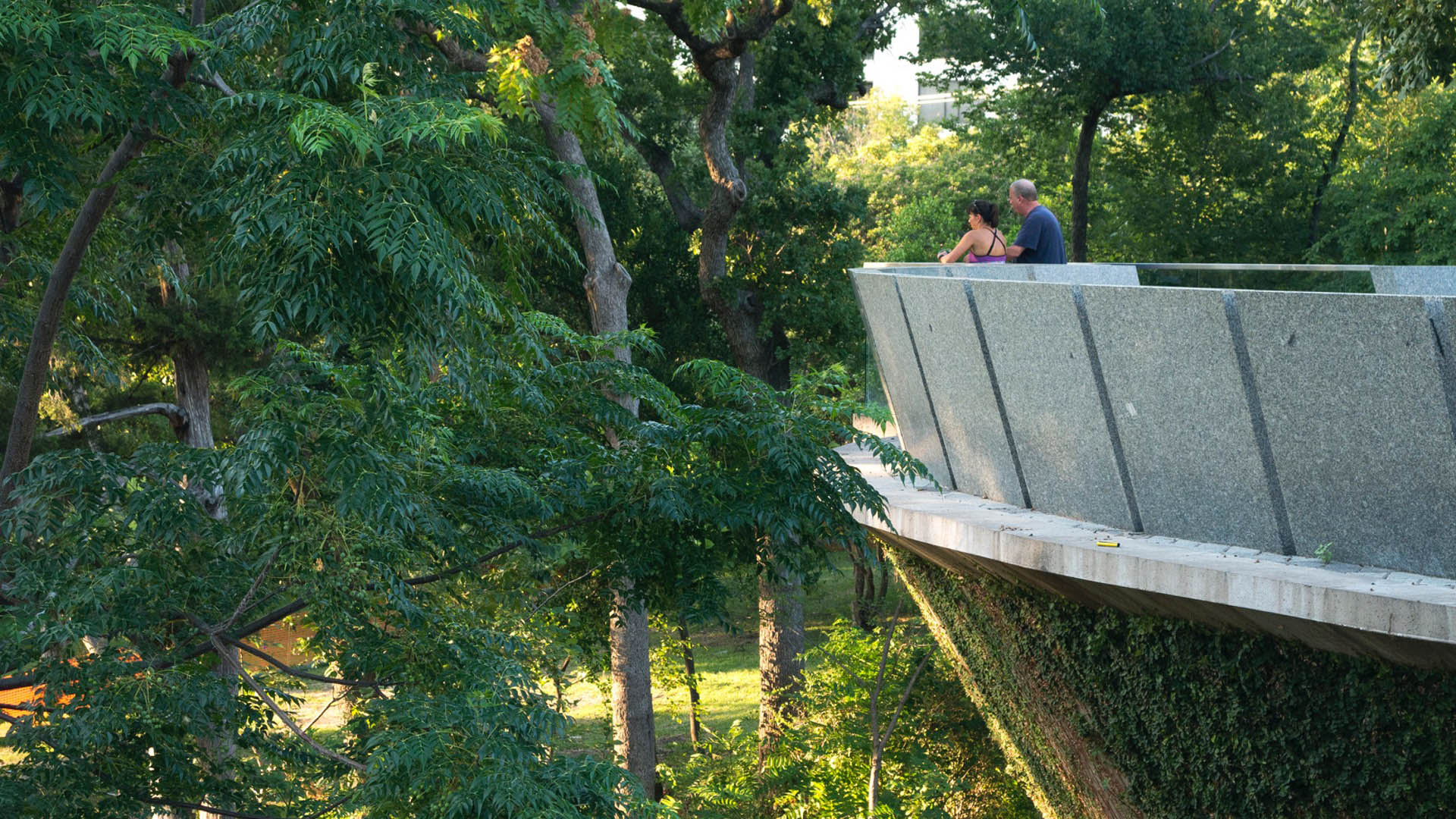
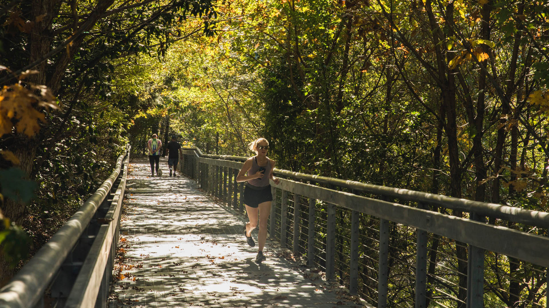
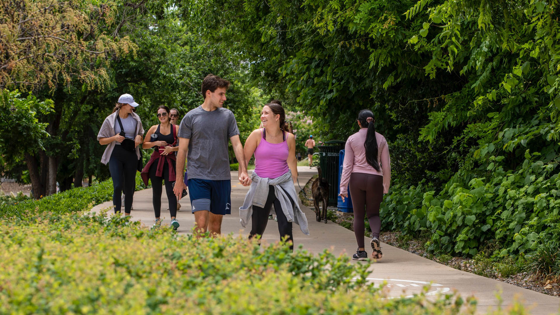
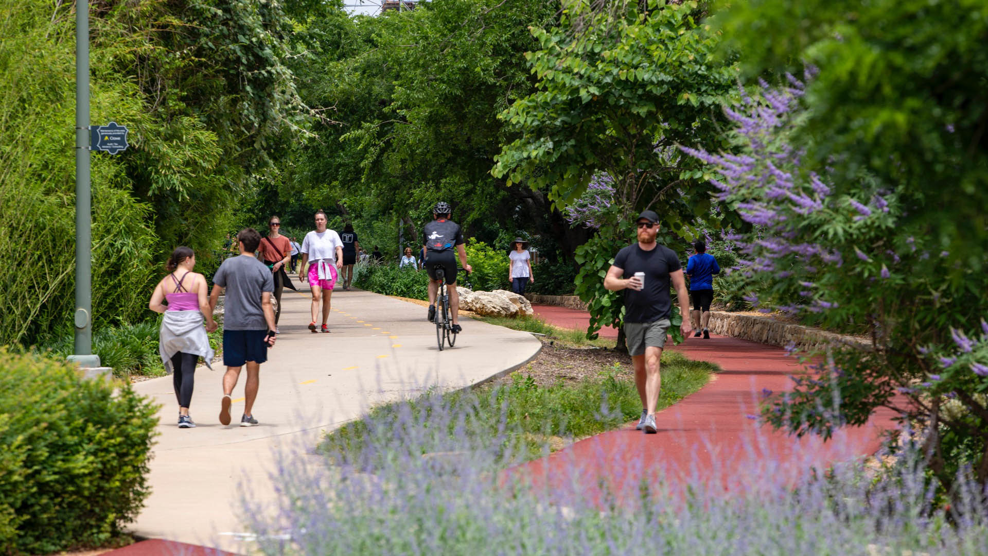
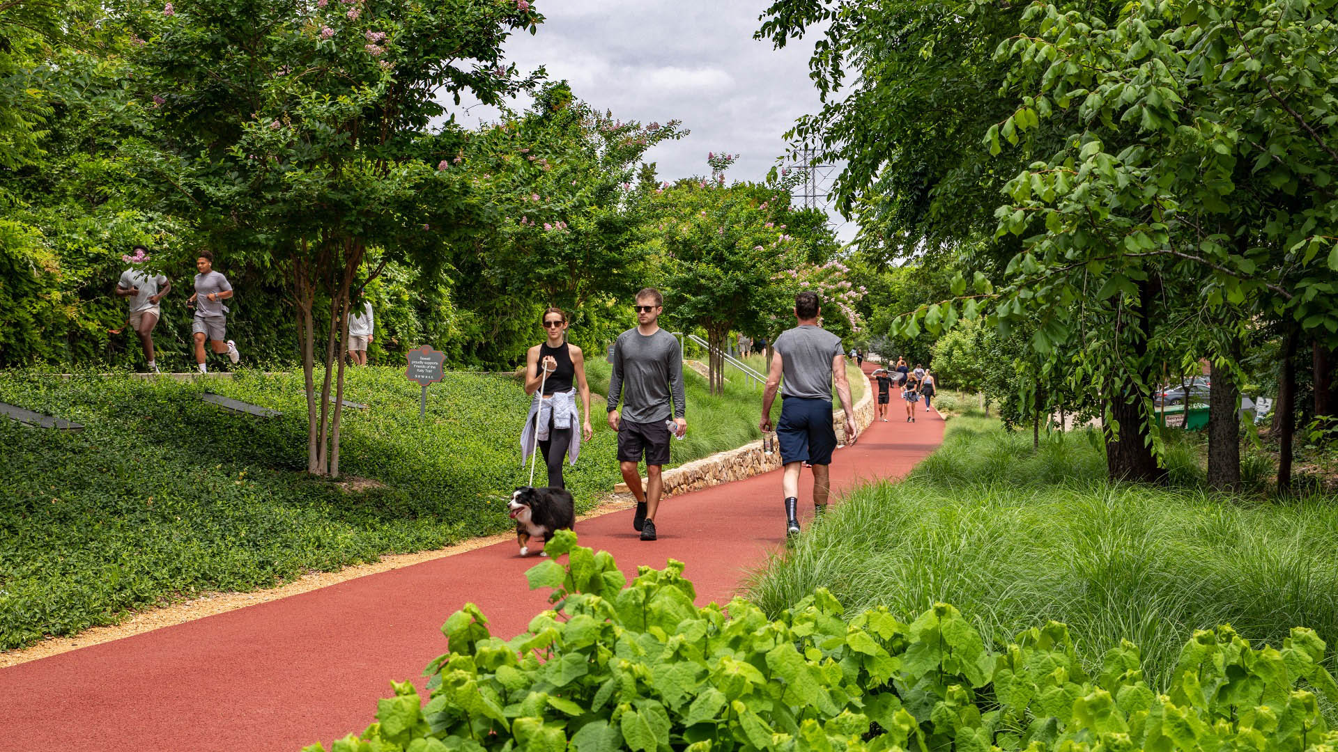
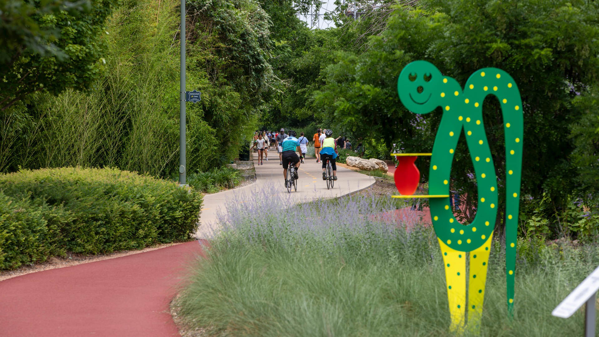
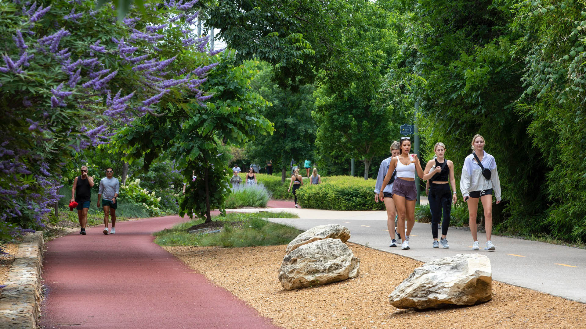
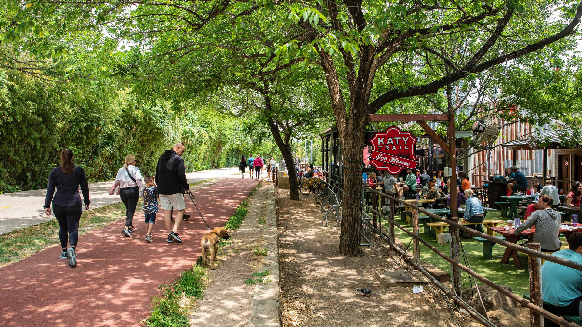
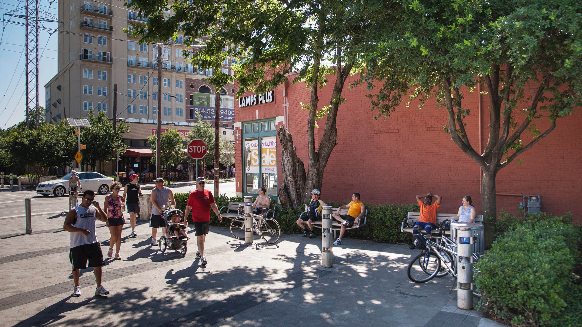
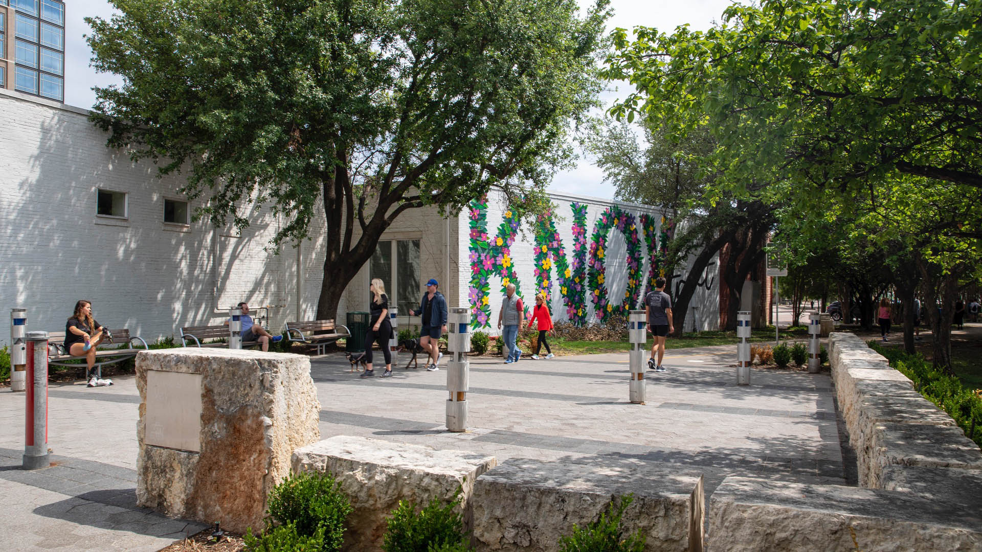
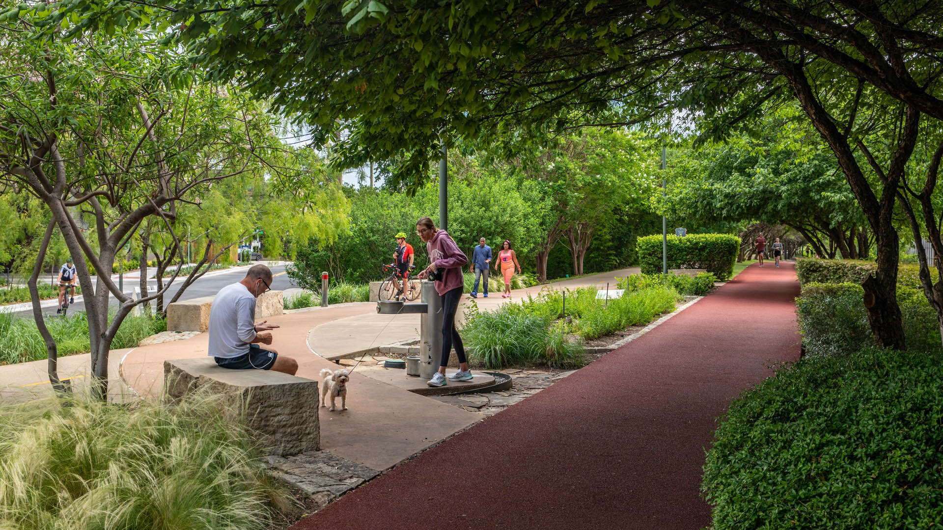
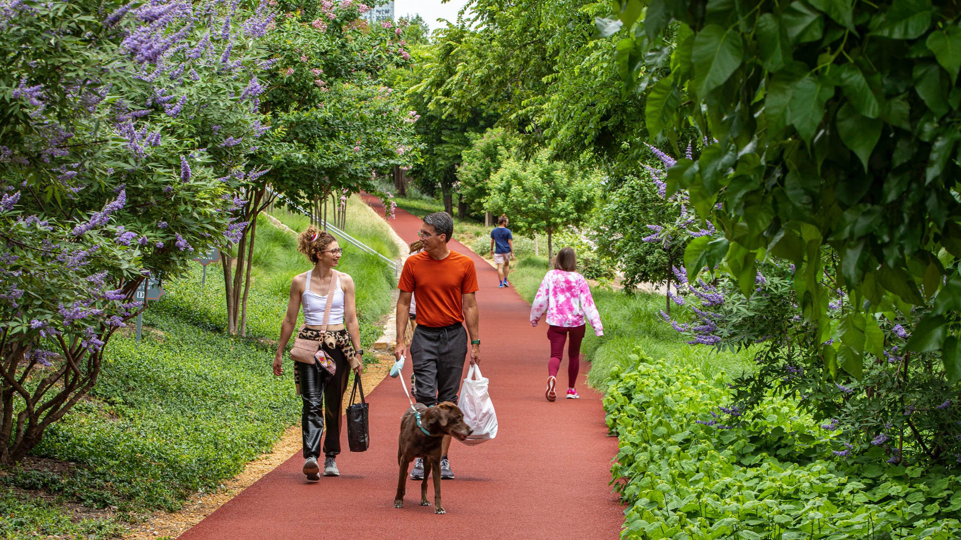
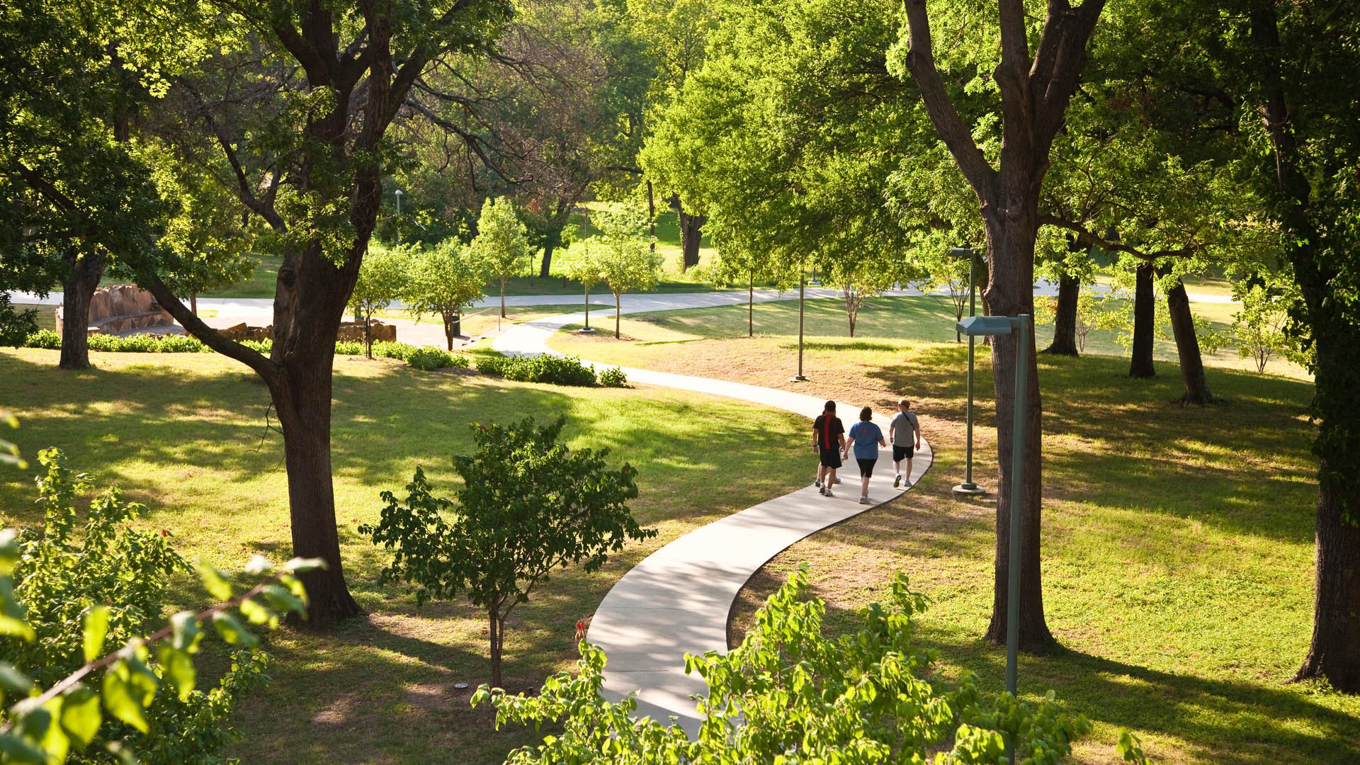
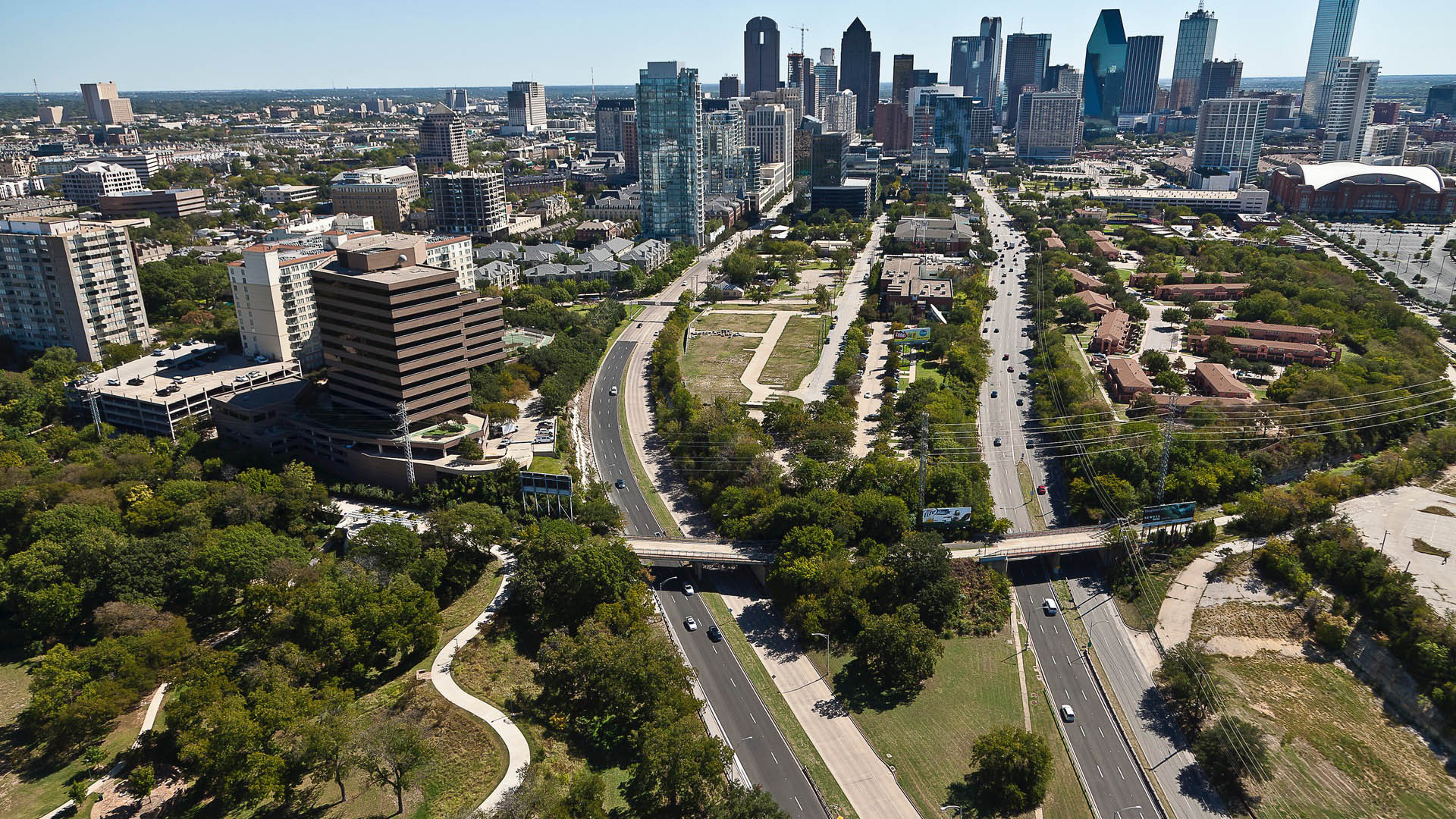
Katy Trail represents a remarkable resource for the residents of the Dallas Fort Worth region. This project enlivens and makes accessible right-of-way established by the storied, but later abandoned, Missouri-Kansas-Texas (better known as the “Katy”) line, and serves as a unifying element for the surrounding neighborhoods. Katy Trail provides approximately 3.5 miles of intercity bicycle and pedestrian trail, resulting in a transportation and recreational corridor for jogging, passive nature interpretation and walking. The trail links approximately 20 neighborhood areas to the Central Business District, the American Airlines Center and Southern Methodist University. Active integration of legacy establishments and involvement with the neighboring communities were part of an ongoing process that enhanced the project’s success.
Bensonhurst Park
Bensonhurst Park is part of the larger Shore Parkway, an 816.1-acre collection of parks that stretches across Brooklyn and Queens. Today, the site provides a series of pathways, passive seating areas, recreational fields and a playground.
SWA/Balsley created a master plan for the redesign of the north end of the park and final design and construction doc...
Stanford University Terman Park
The removal of an existing building adjacent to the center of Stanford’s campus provided a unique opportunity to fashion an interim park space. The project emphasizes reuse and seeks to utilize salvaged materials as well as the existing grading and fountain as key features of the park. As a multifunctional performance and recreational space, the project ...
Mason Park Bridge
Prior to construction of this Brays Bayou feature, road and rail infrastructure had conspired with the waterway to sever connectivity between parks and surrounding neighborhoods. The Mason Park Pedestrian Bridge, part of a larger effort including trails, seating plazas, lighting, and planting, connects the north and south parts of the City of Houston’s Mason P...
Guangming OCT Trail
With its grand landscape views, Guangming Trail is both a green, healthy “slow circulation” system in an urban area, and an exemplar of innovation and sustainability. The trail’s topography changes as it progresses through mountains, valleys, hills, and farms. By considering vegetation, habitats, hydrology, and topography, sites with high value and potential w...


