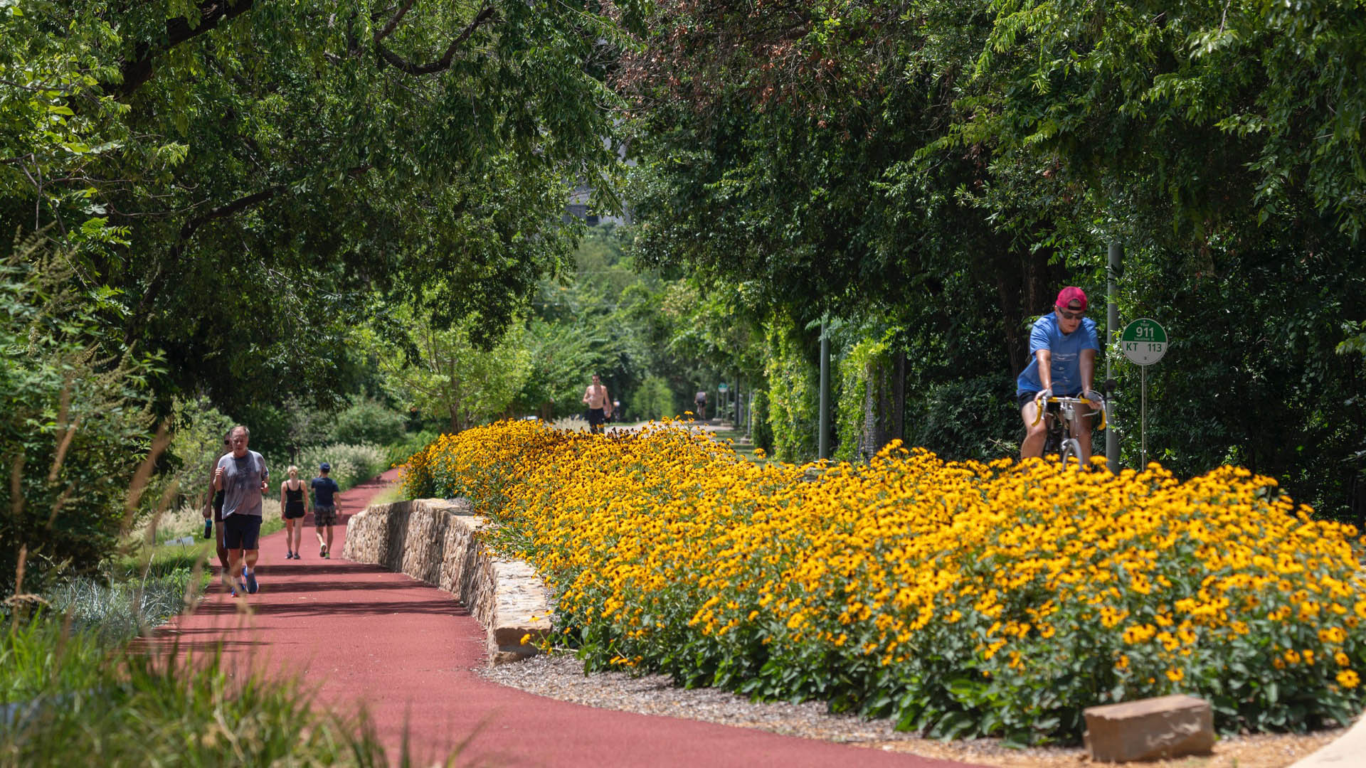
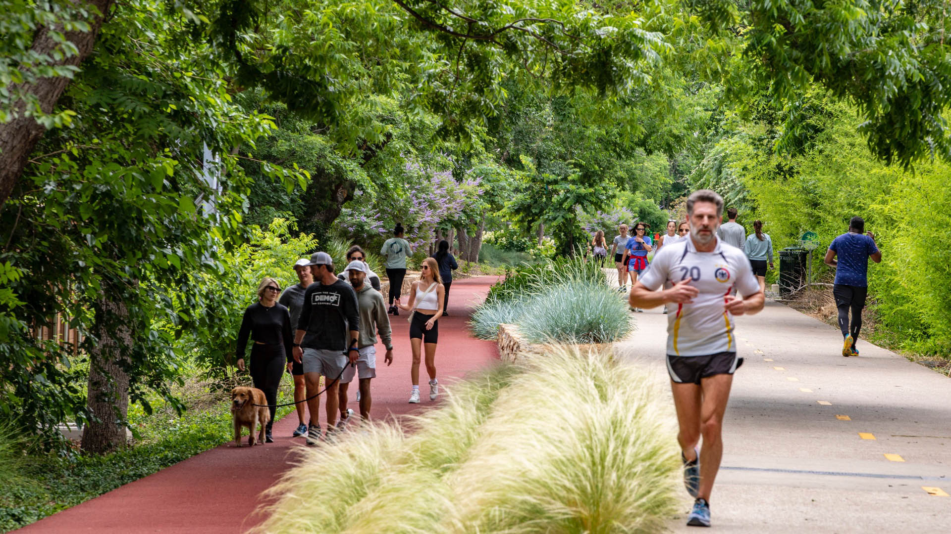
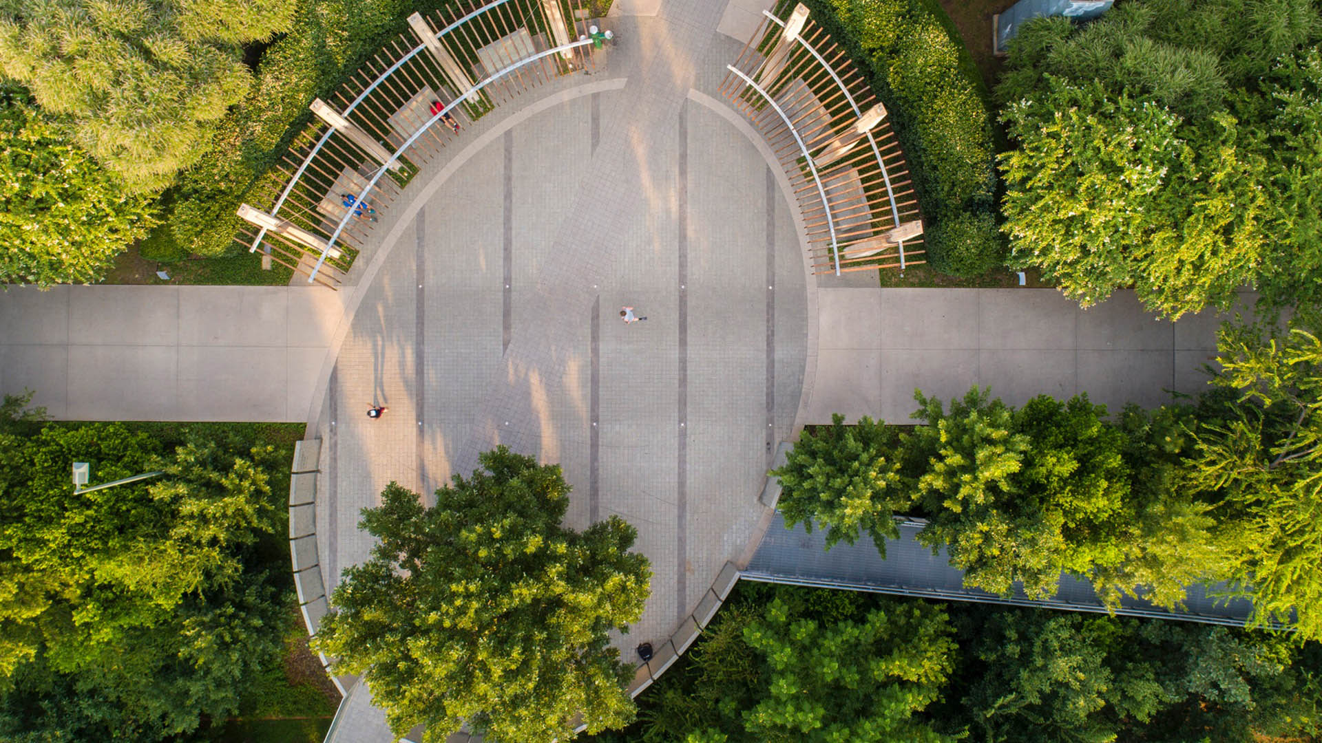
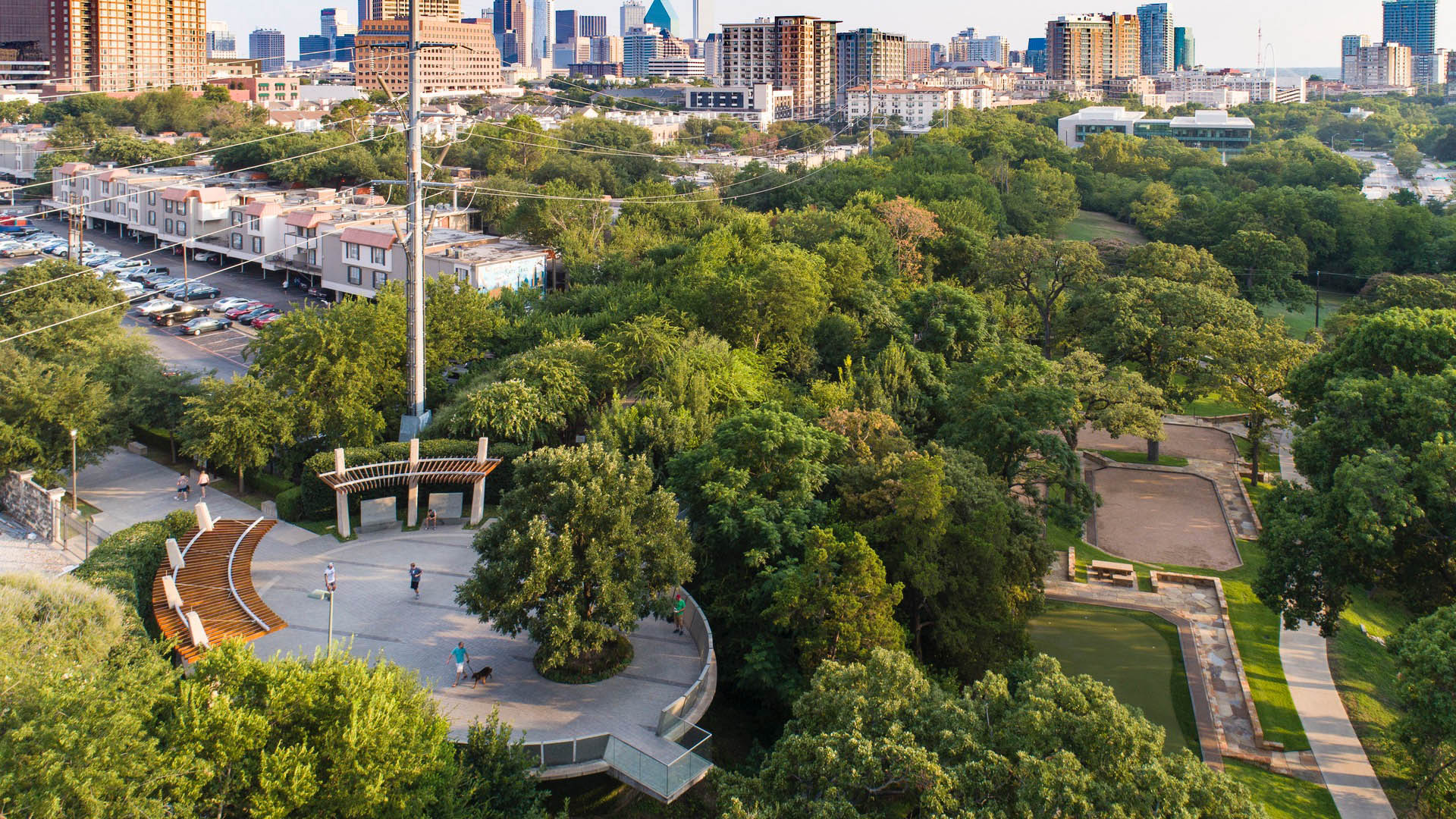
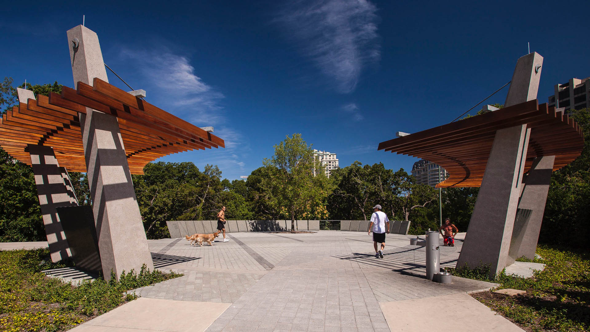
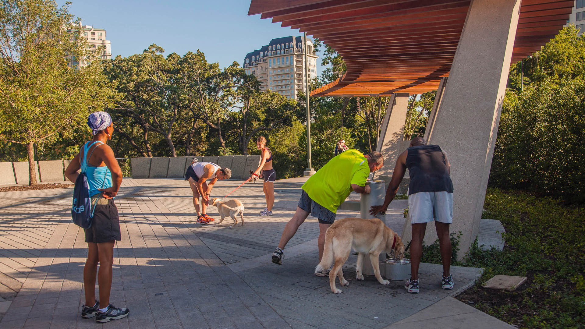
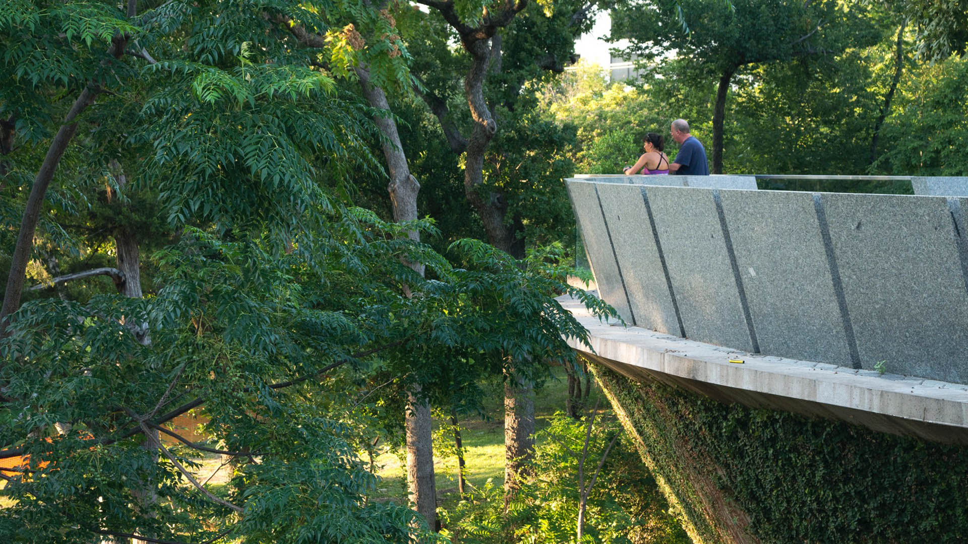
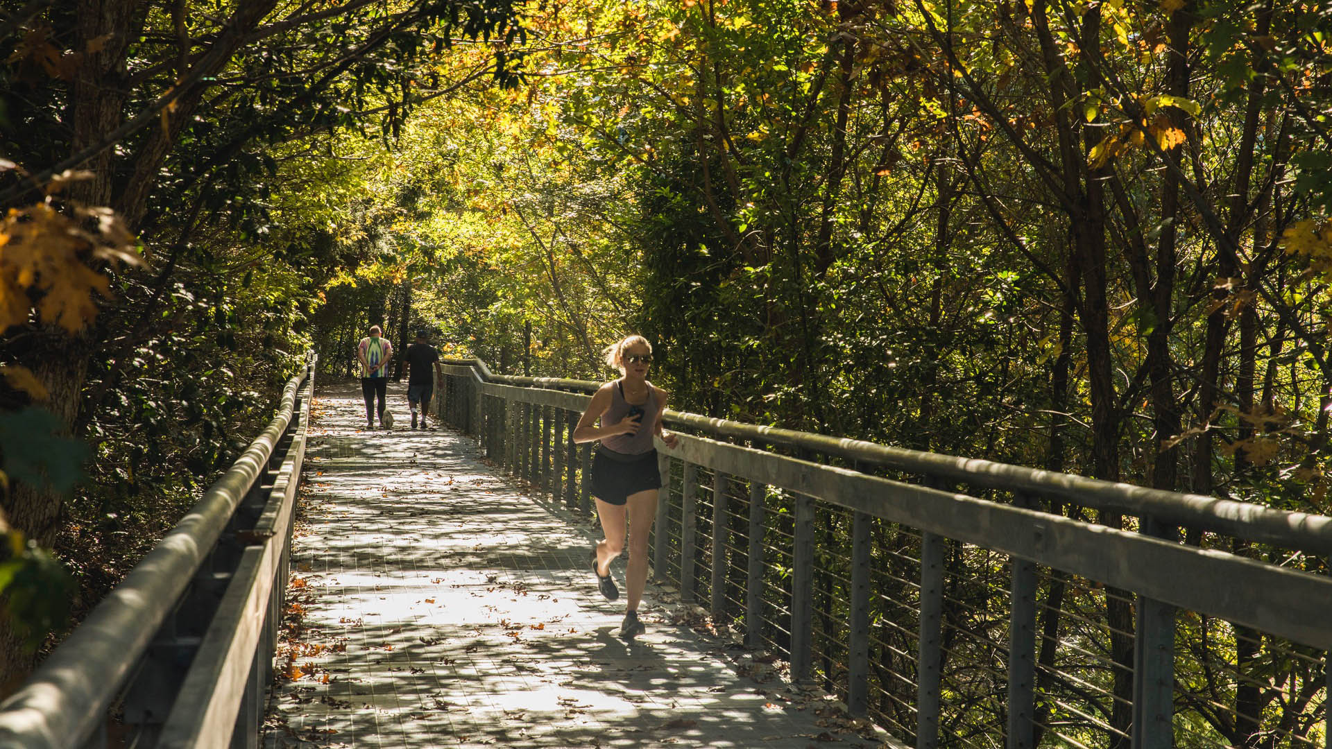
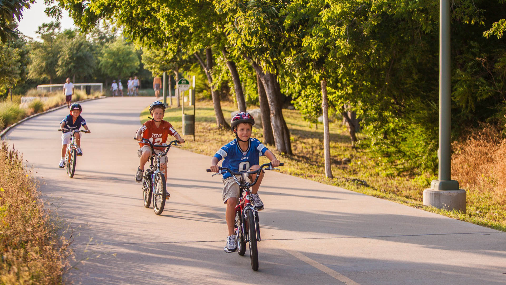
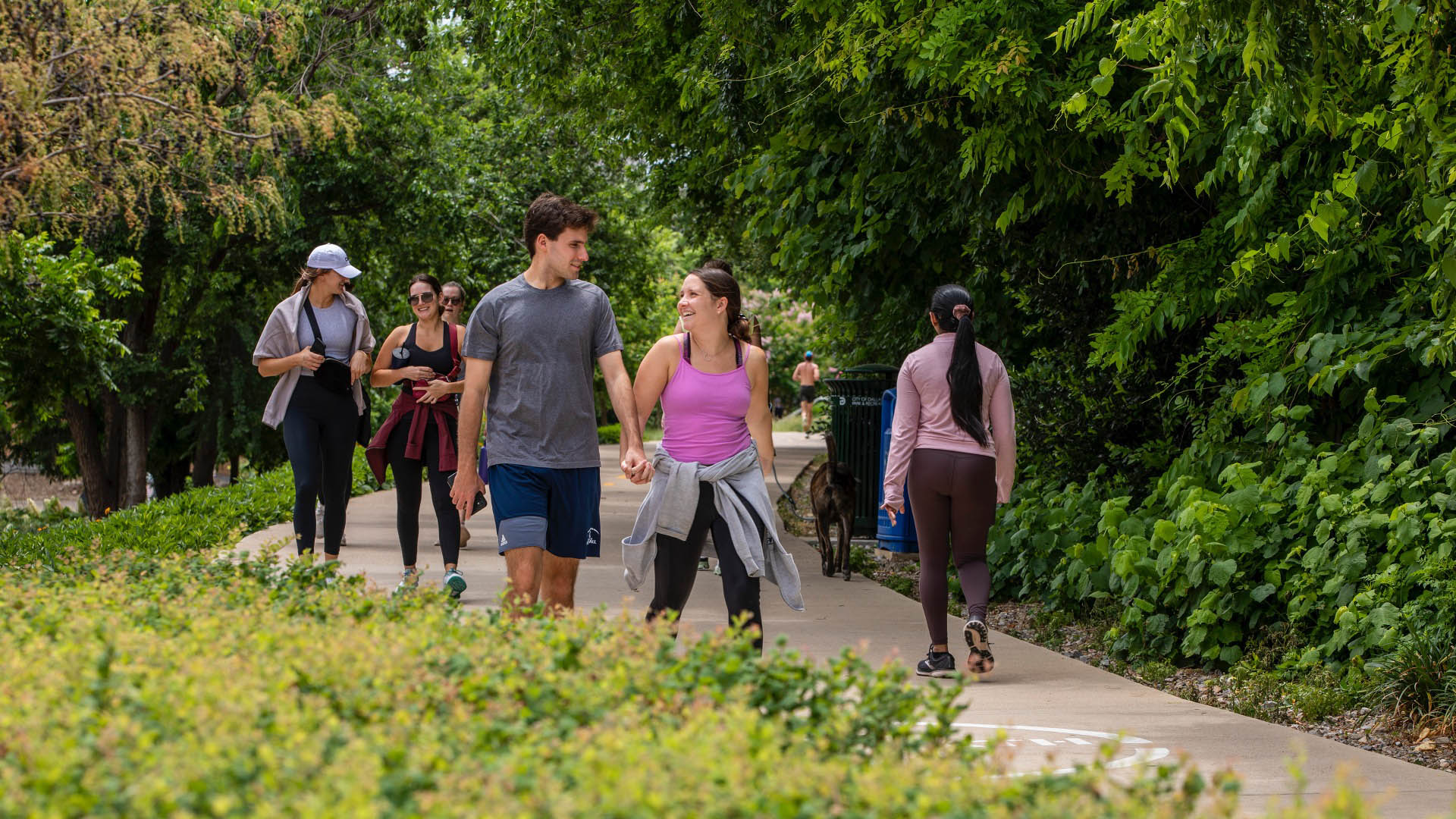
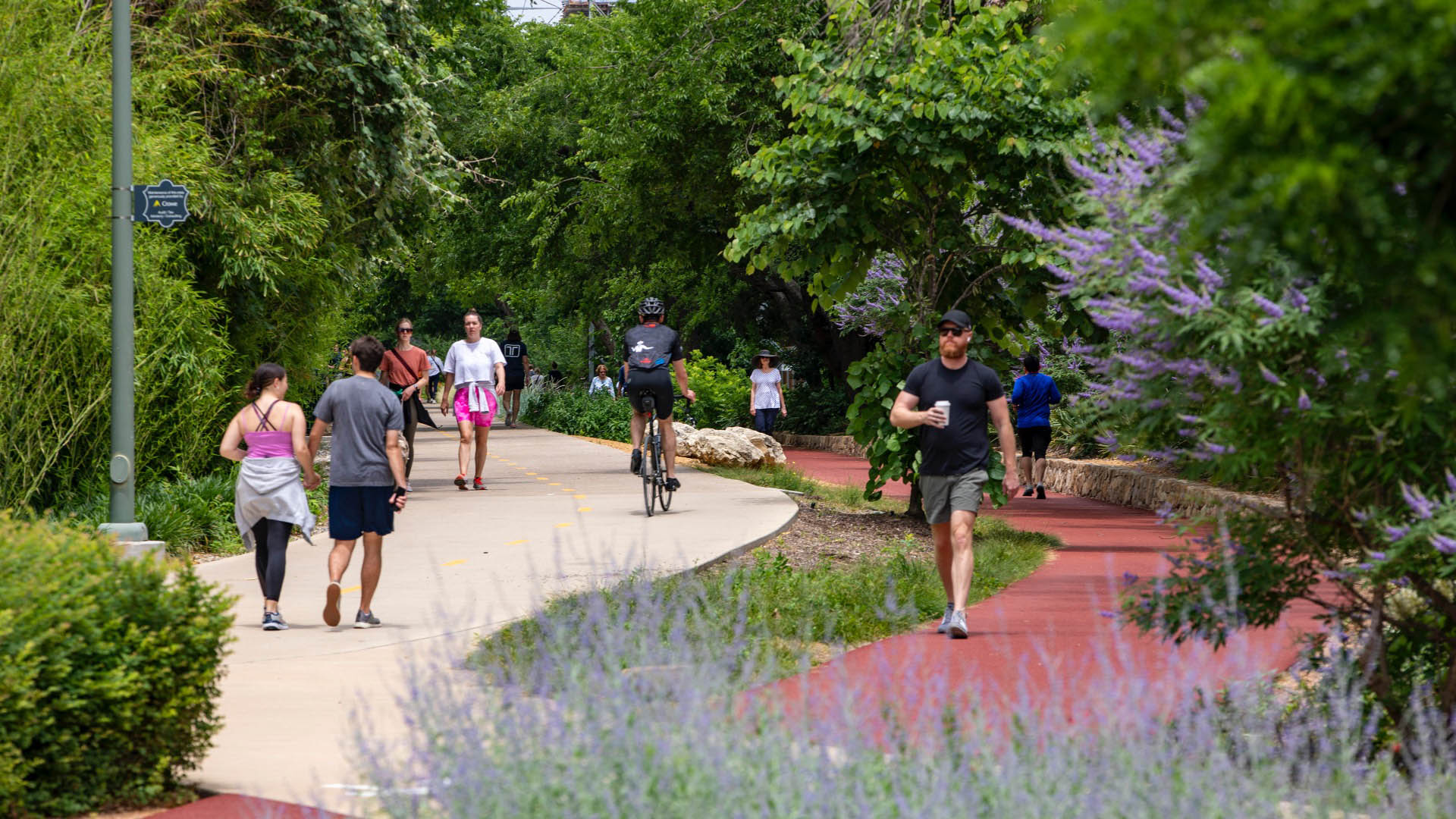
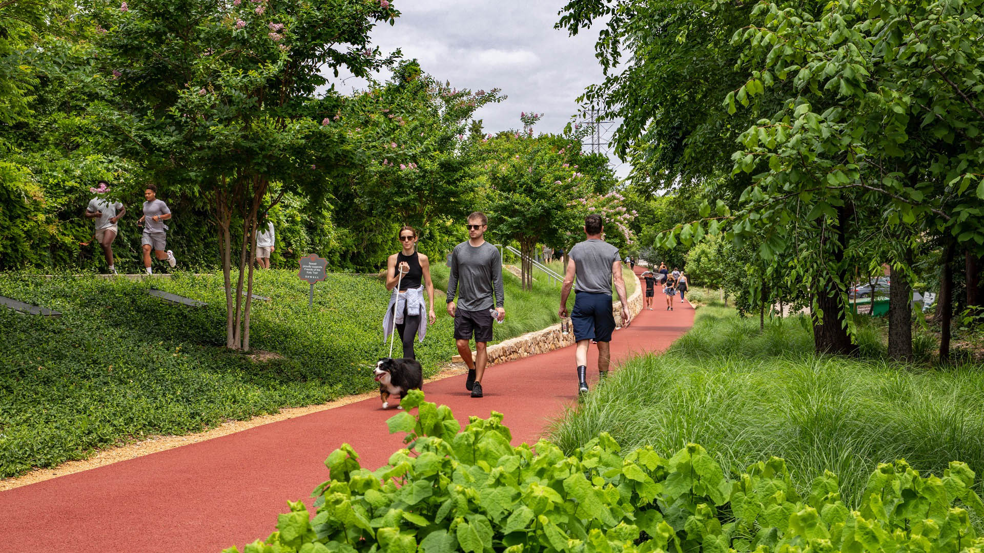
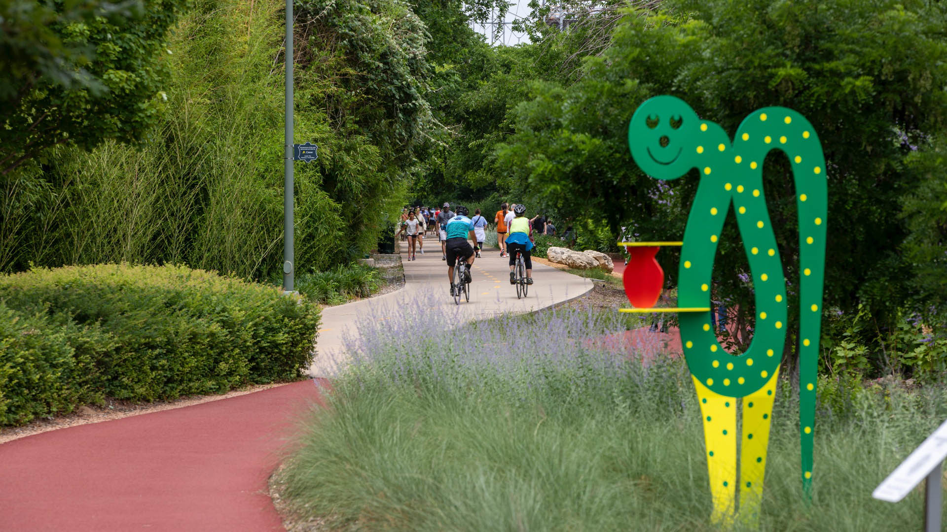
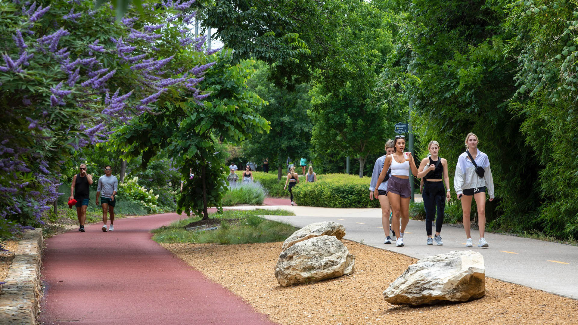
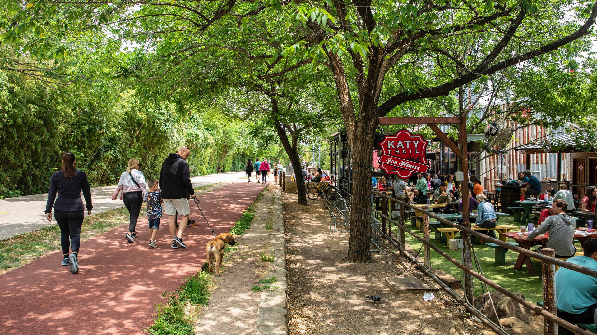
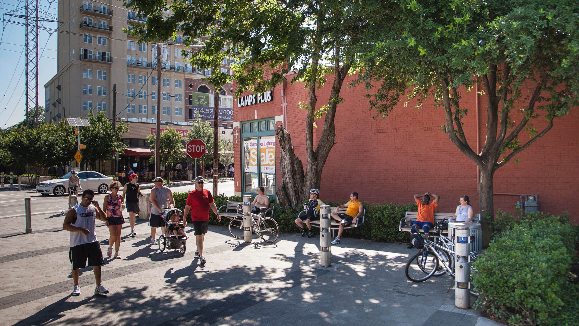
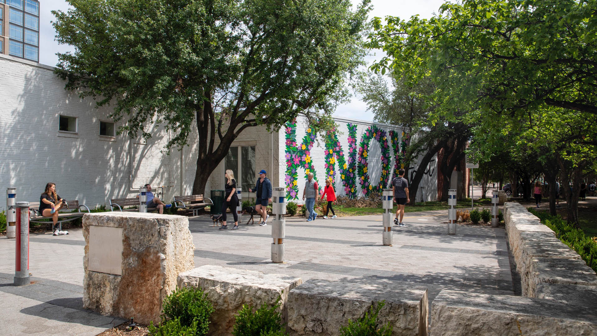
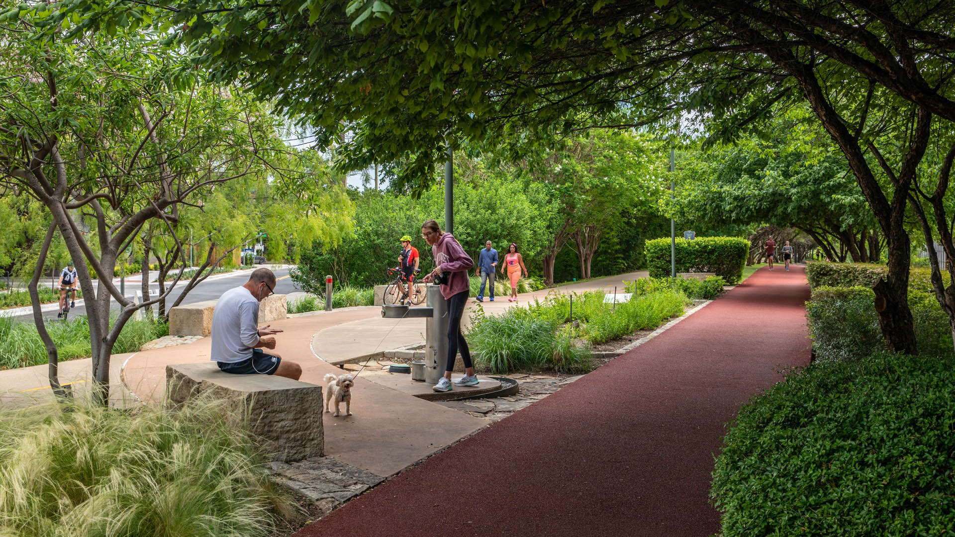
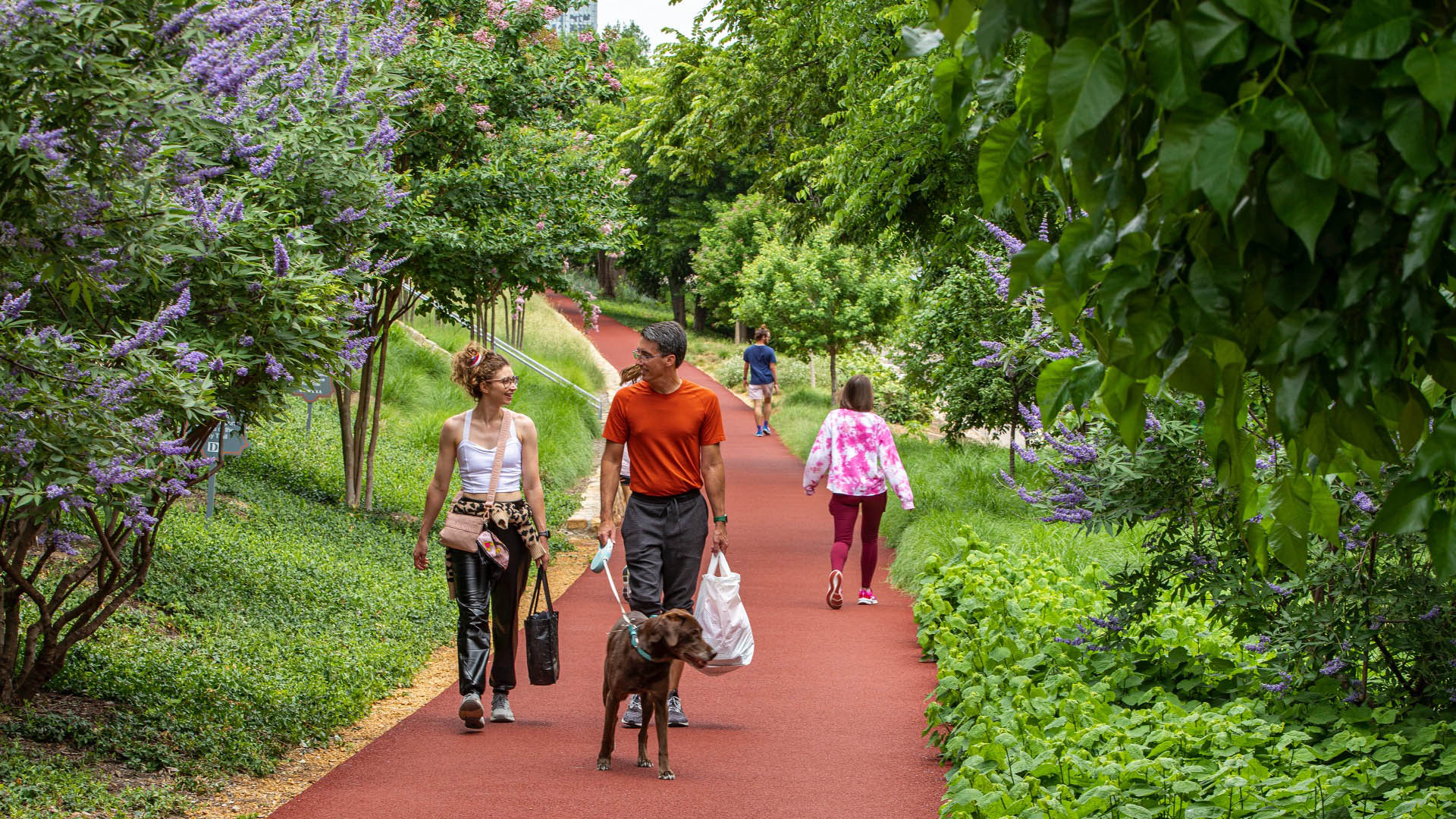
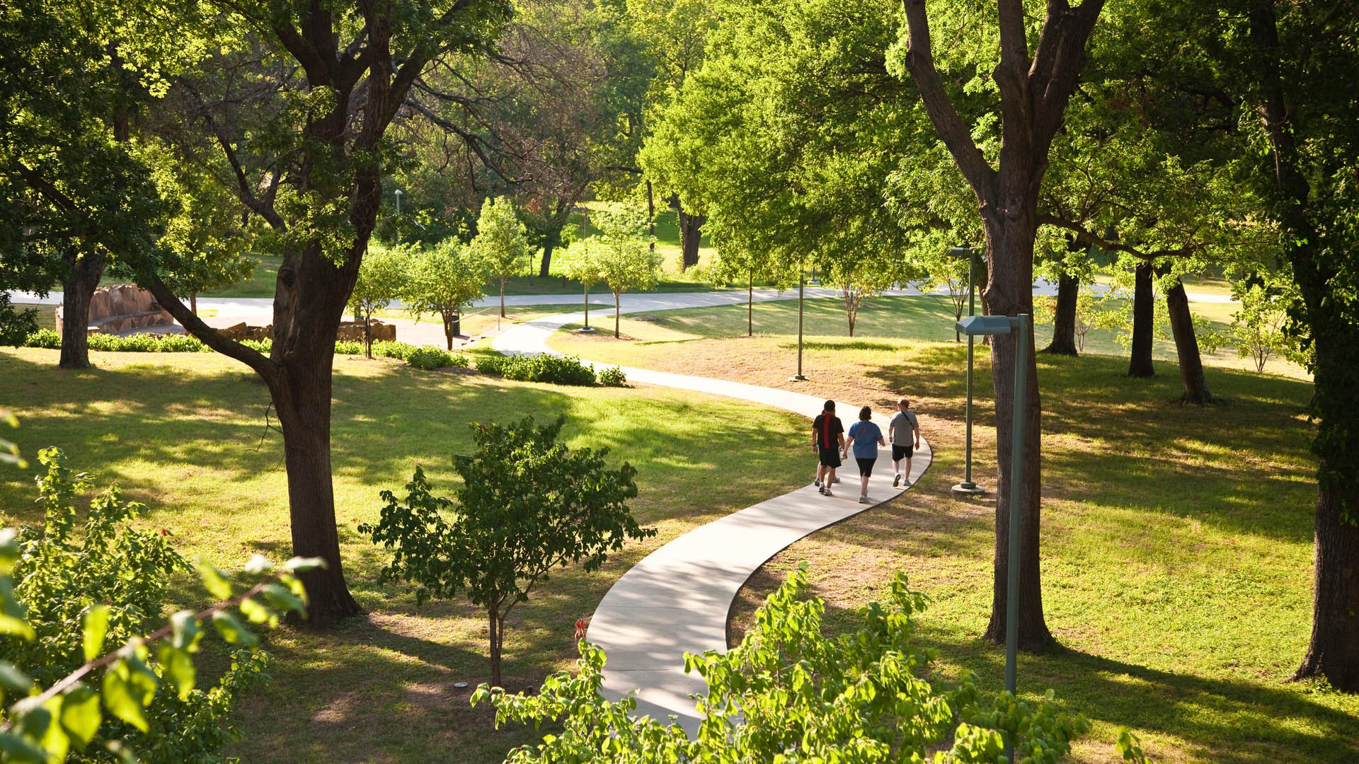
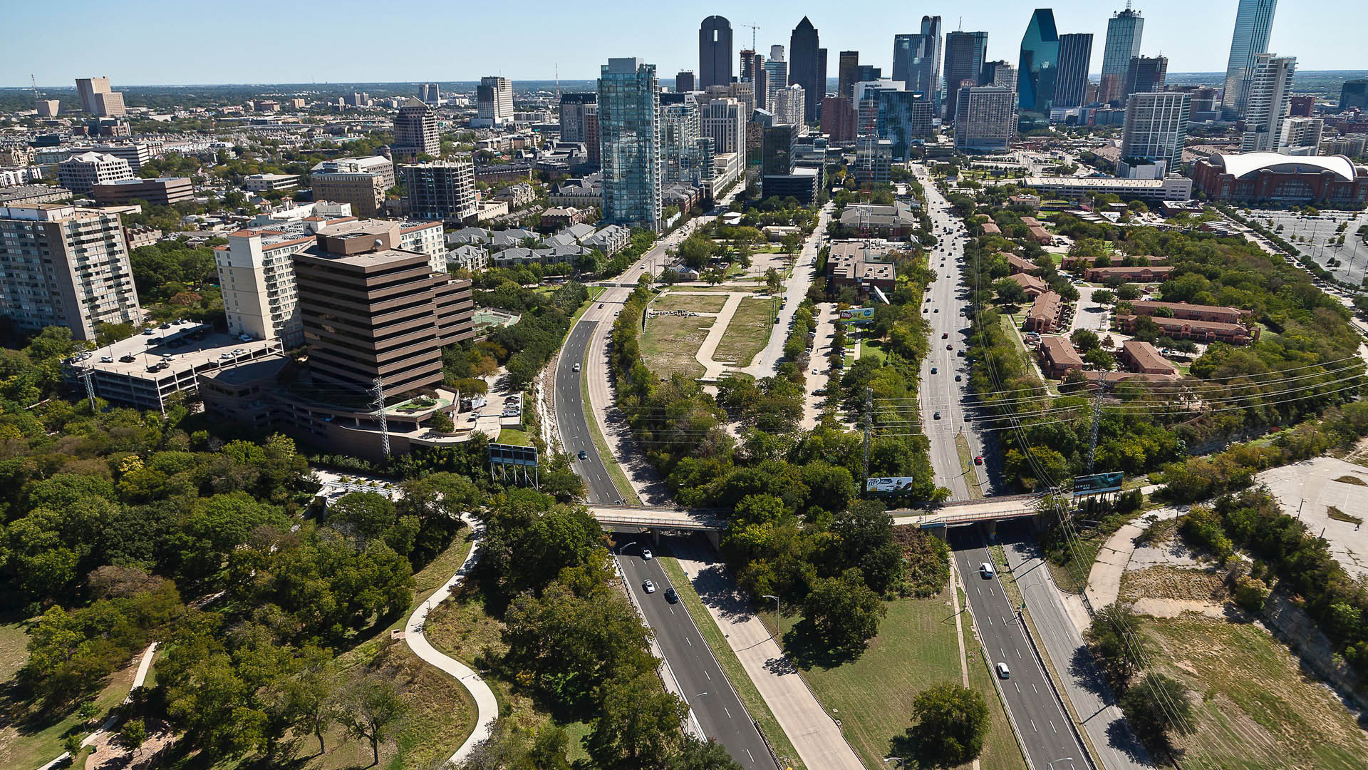
Katy Trail represents a remarkable resource for the residents of the Dallas Fort Worth region. This project enlivens and makes accessible right-of-way established by the storied, but later abandoned, Missouri-Kansas-Texas (better known as the “Katy”) line, and serves as a unifying element for the surrounding neighborhoods. Katy Trail provides approximately 3.5 miles of intercity bicycle and pedestrian trail, resulting in a transportation and recreational corridor for jogging, passive nature interpretation and walking. The trail links approximately 20 neighborhood areas to the Central Business District, the American Airlines Center and Southern Methodist University. Active integration of legacy establishments and involvement with the neighboring communities were part of an ongoing process that enhanced the project’s success.
OCT Bao’an Waterfront Cultural Park
Bao’an Waterfront Park is an essential amenity for future residents of Shenzhen’s rapidly expanding Qianhai area, and is also an important connection between the urban fabric and the ocean. The key landscape frameworks for the park are its riverine interpretation aspects and water’s edge programs. The “Eco River” will bring water experiences into the green spa...
Buffalo Bayou Smith to Travis Streets Trail Segment
This effort in Downtown Houston extends the Buffalo Bayou trail system eastward with the Smith to Travis Trail, connecting two historically significant sites: Sesquicentennial Park and Allen’s Landing, where the city was founded. It is a technically challenging segment located twenty feet below street level that traverses under multiple roadway bridges crossin...
Hunter's Point South Waterfront Park
Hunter’s Point South Waterfront Park was envisioned as an international model of urban ecology and a world laboratory for innovative sustainable thinking. The project is a collaboration between Thomas Balsley Associates and WEISS/MANFREDI for the open space and park design with ARUP as the prime consultant and infrastructure designer.
What was once a ba...
South Waterfront Greenway
A bold new plan for the area along the Willamette River includes a 1-1/2 mile extension of the City’s downtown’s parks and the reclamation of the river’s edge for public recreation. Working closely with the City of Portland, developers, and natural resource advocates, the design team devised a rational plan that places access and activity in targeted nodes wit...


