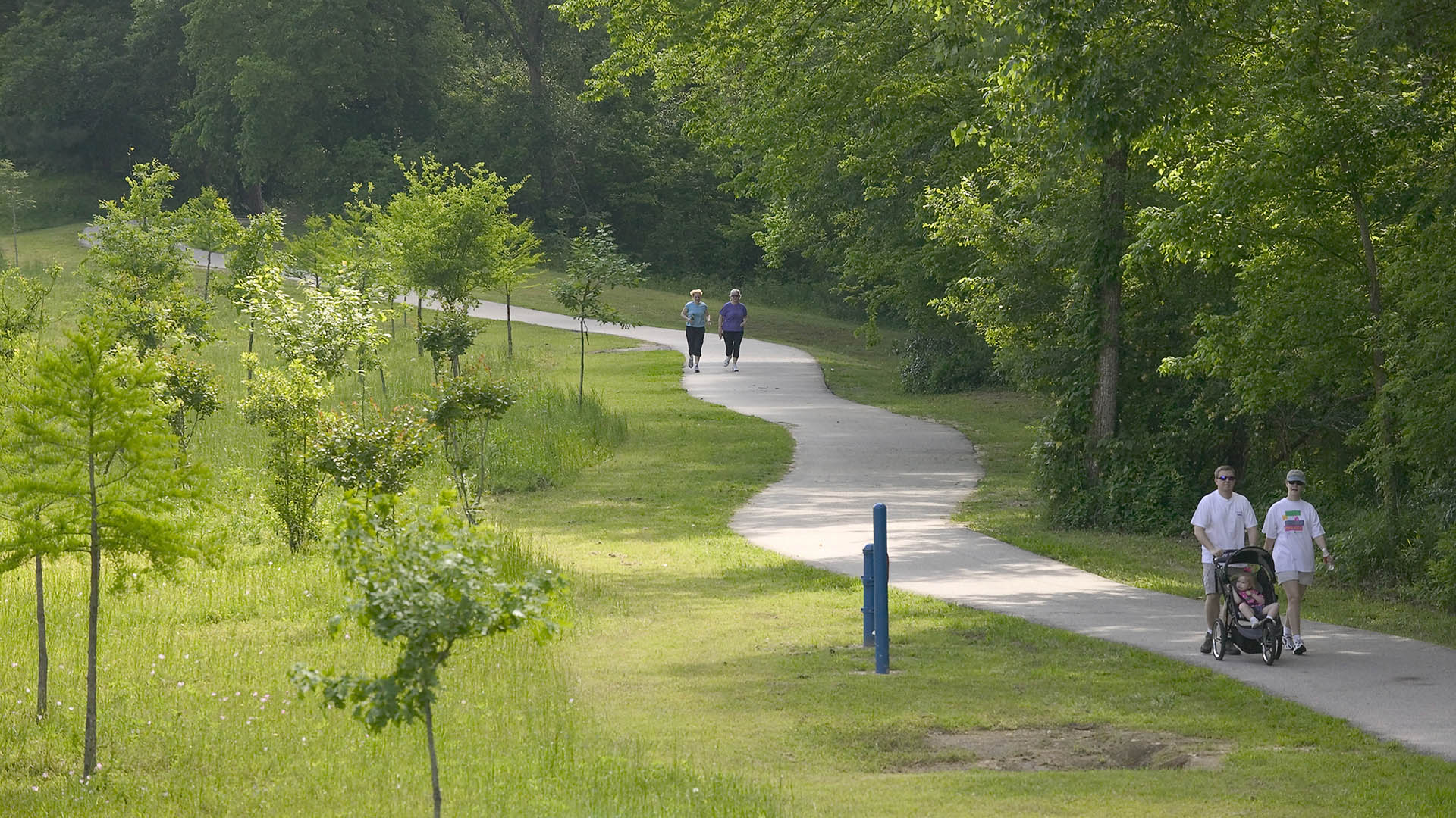
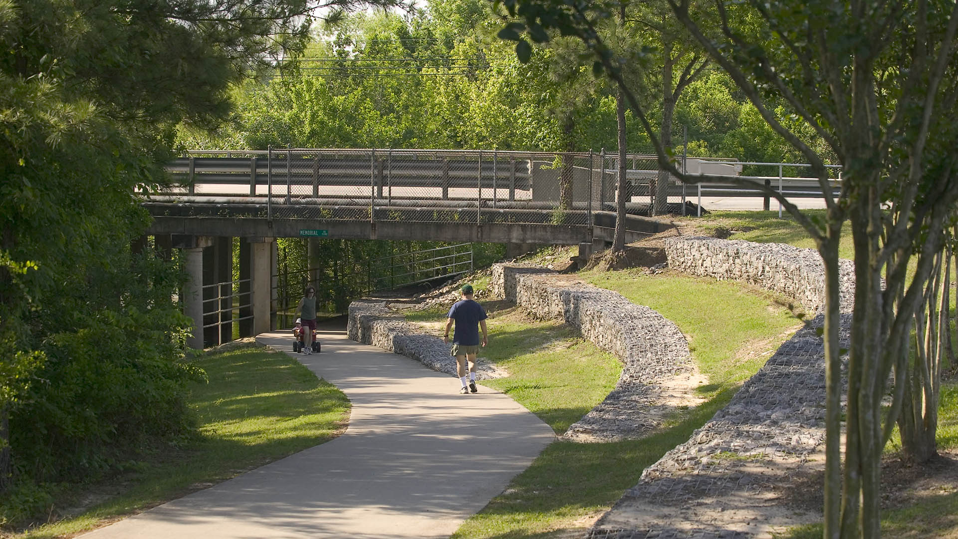
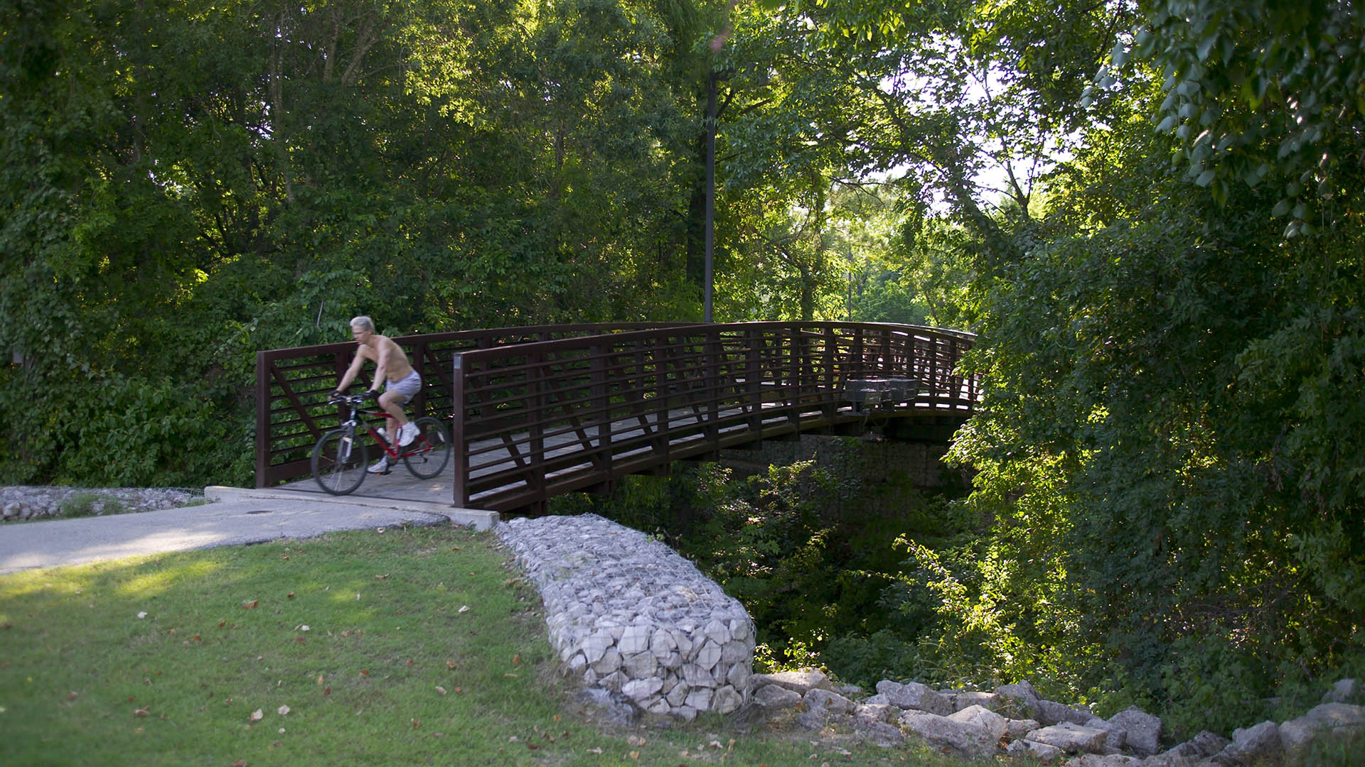
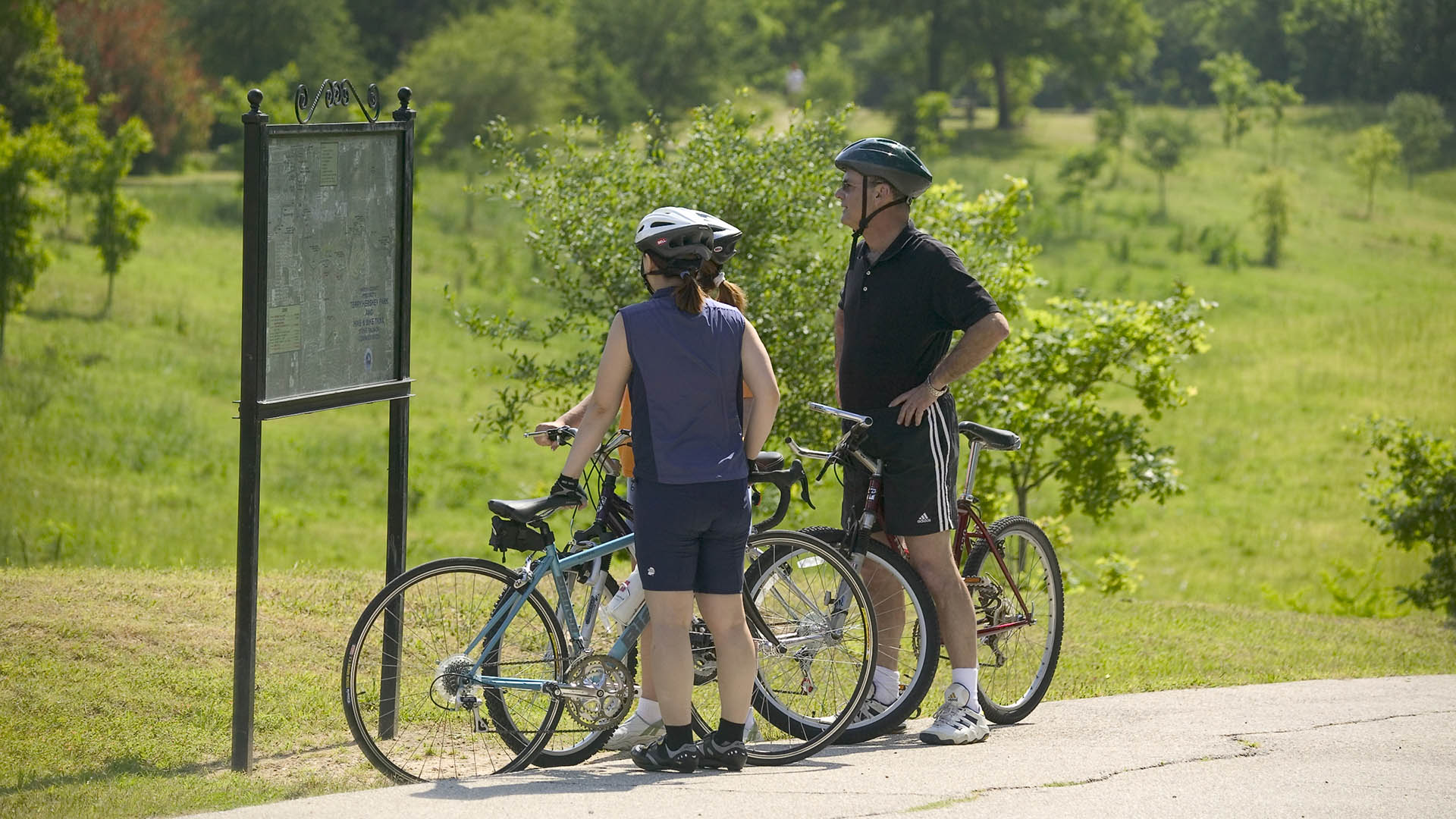
The park design includes a one-mile hike and bike trail system, a pedestrian underpass linking the park to an existing trail system, bridges over the creek, and automobile parking. Gabions were used as an environmentally friendly means of slope retention in a floodway and as a tool for creating places for people to enjoy the wooded environment. Sinuous banks and vegetation masses soften the edges and a trail meandering through stands of pine and oak replaces the former service road. Meadow areas for passive recreation are found in the center of the site while edges are allowed to grow up in shrubs and trees. The project required coordination and approval of Harris County Flood Control District, the U.S. Army Corps of Engineers, Houston Lighting and Power, the City of Houston, and three pipeline interests.
Hunter's Point South Waterfront Park
Hunter’s Point South Waterfront Park was envisioned as an international model of urban ecology and a world laboratory for innovative sustainable thinking. The project is a collaboration between Thomas Balsley Associates and WEISS/MANFREDI for the open space and park design with ARUP as the prime consultant and infrastructure designer.
What was once a ba...
Martin Luther King Jr. Square Water Quality Demonstration Park
The City of Conway received both local and federal grants to create a water quality demonstration park in a flood-prone, one-block area of its downtown to educate the public about Low Impact Development (LID) and Green Infrastructure (GI) methods and how they can enhance water quality. The project will transform this remediated brownf...
Dave Thomas Circle
One of the most dangerous intersections at the gateway into downtown Washington DC was targeted for significant improvement. Prompted by the demolition of a Wendy’s restaurant and new road alignments to ease traffic congestion, SWA/Balsley was hired to create a memorable new gateway experience and usable, inviting parks in the newly acquired public land. The t...
Nelson Mandela Park Master Plan
Identified by the City as one of its “Big Five” open space projects, the conceptual master plan for Nelson Mandela Park will create a much-needed central open space for the city’s south district, an industrial area along the waterfront that is home to a growing and increasingly diverse population. Here the city seeks to transcend its current park paradigm of l...


