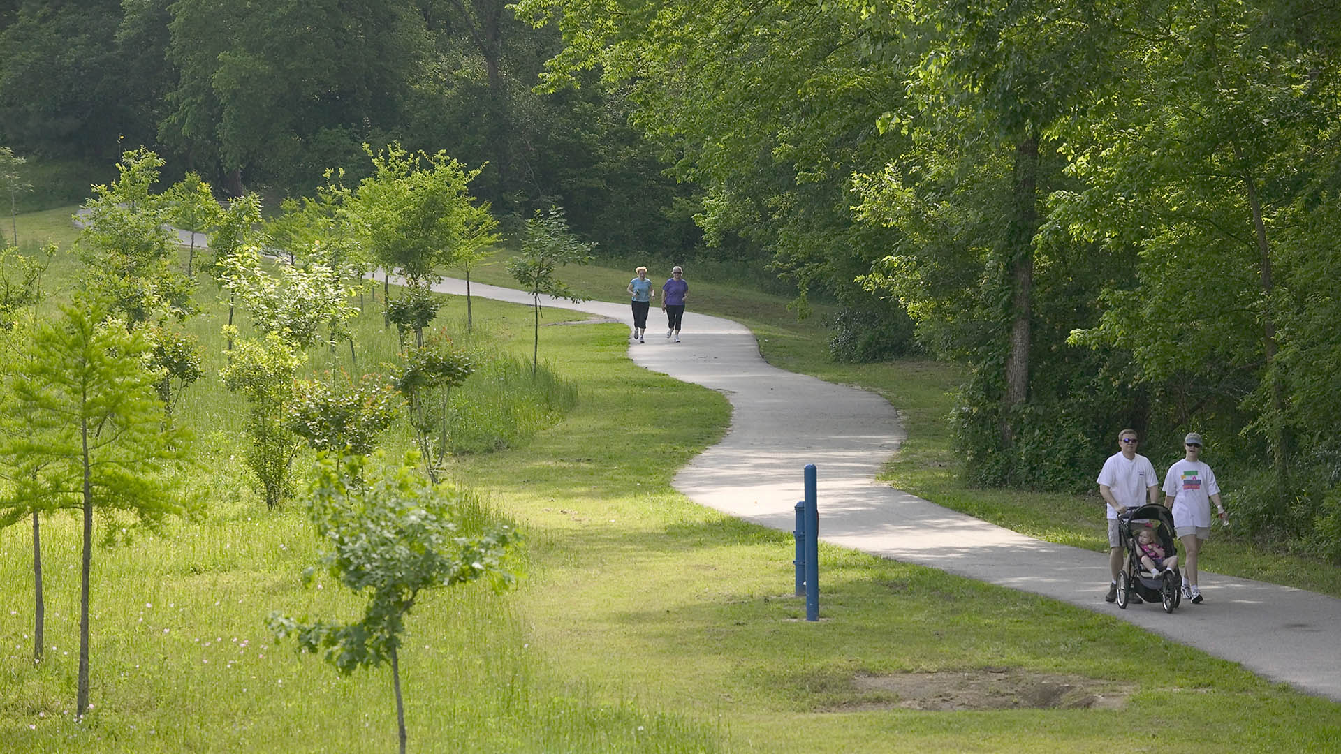
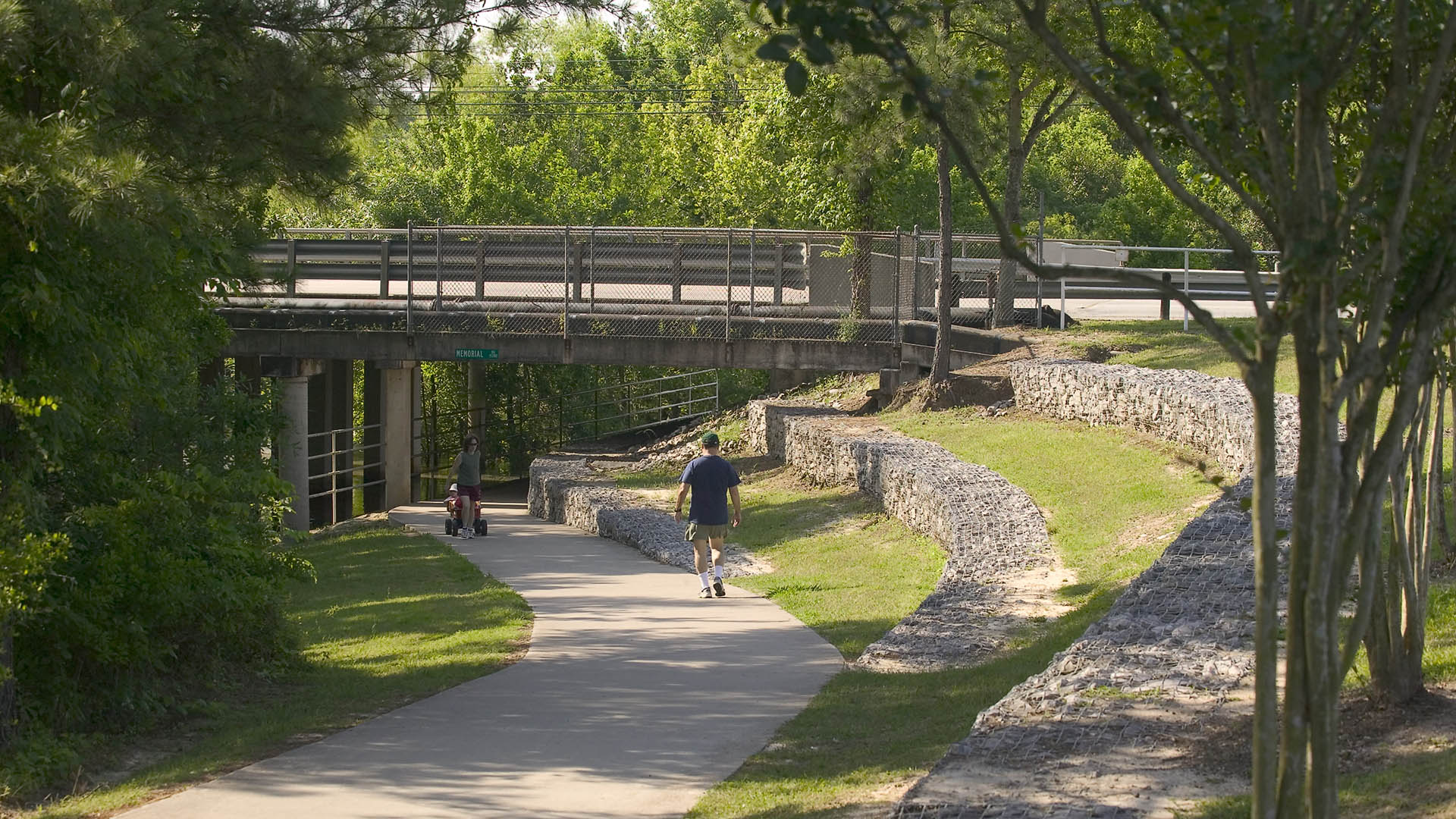
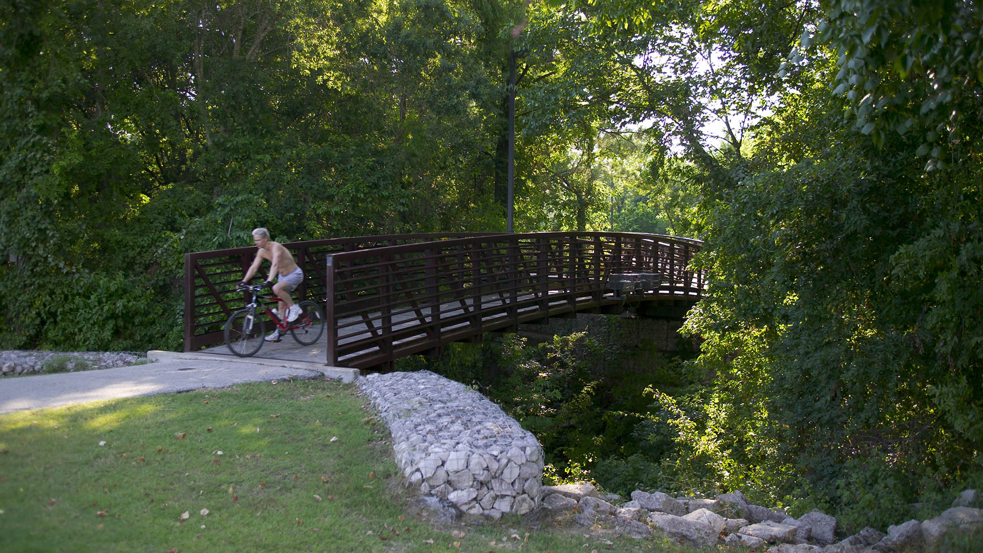
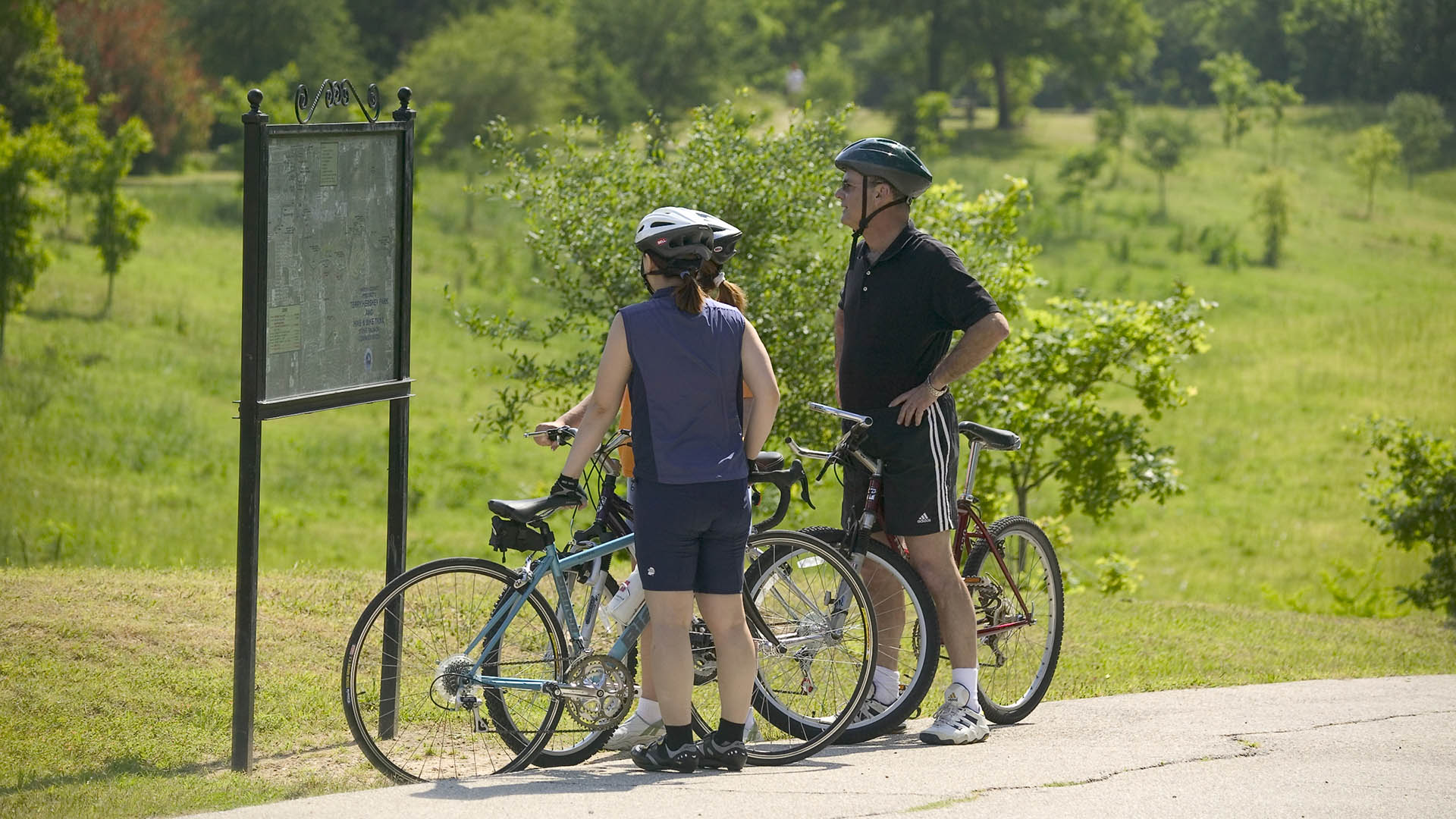
The park design includes a one-mile hike and bike trail system, a pedestrian underpass linking the park to an existing trail system, bridges over the creek, and automobile parking. Gabions were used as an environmentally friendly means of slope retention in a floodway and as a tool for creating places for people to enjoy the wooded environment. Sinuous banks and vegetation masses soften the edges and a trail meandering through stands of pine and oak replaces the former service road. Meadow areas for passive recreation are found in the center of the site while edges are allowed to grow up in shrubs and trees. The project required coordination and approval of Harris County Flood Control District, the U.S. Army Corps of Engineers, Houston Lighting and Power, the City of Houston, and three pipeline interests.
Lianjiang Park
Located between a mountain and river in rapidly growing Changsha, Lianjiang Park commands a critical juncture between city, nature, and a changing way of life. While the Lianjiang region had always been intimately linked to the water, recent urban development has resulted in a significant loss of wetlands, habitats, and the culture they give rise to.
In...
Hermann Park
Hermann Park is one of Houston’s great civic resources containing a significant urban forest and many public venues. It is the flagship of the Houston Park system, serving the recreation needs of the City’s diverse population of some four million and welcoming over six million visitors a year. However, like many urban parks in America, much of Hermann Park has...
Jeffrey Open Space Park
The Jeffrey Open Space Park represents approximately 96 acres of park and trails, with an average width of 265 ft. The three-mile long spine is designed for passive uses with a network of trails that connect to residential neighborhoods and active recreation parks.
The design process included a series of community workshops to solicit community’s commen...
Golden Shoal Riverfront Park
Located along Chongqing’s Jialing River, this new linear public park offered unique challenges: a 30-meter annual river fluctuation, steep topography, and low-impact maintenance of a continuous riparian corridor. Adjacent new urban development, with attendant needs for green space, called for a flexible and resilient approach to the park’s landscape and infras...


