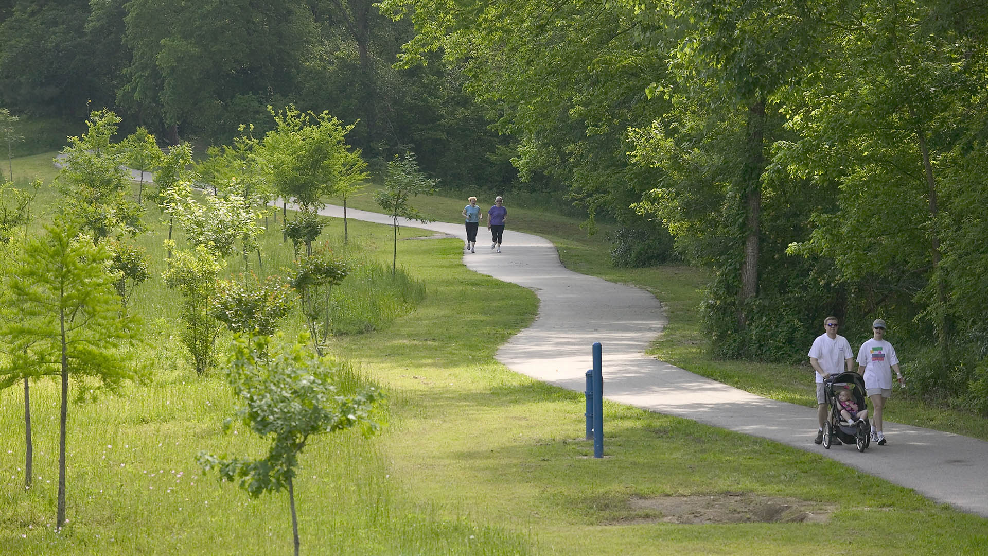
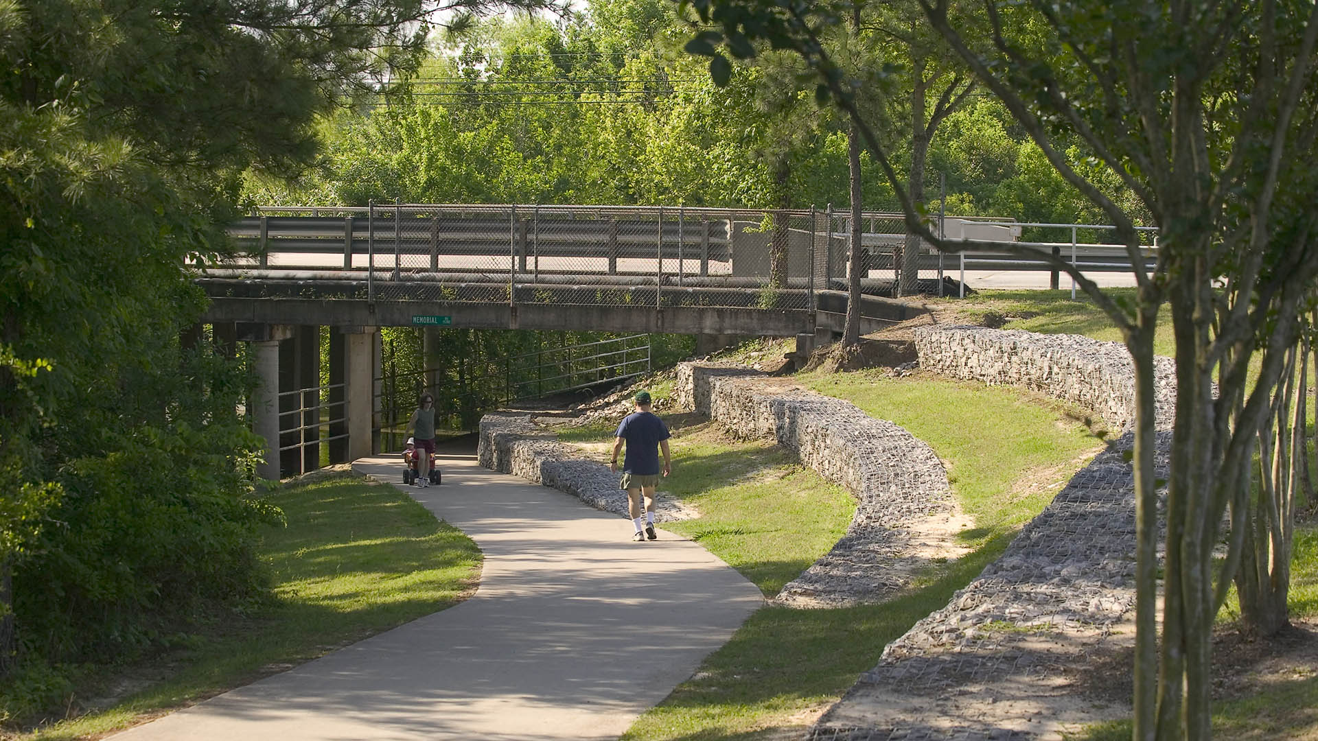
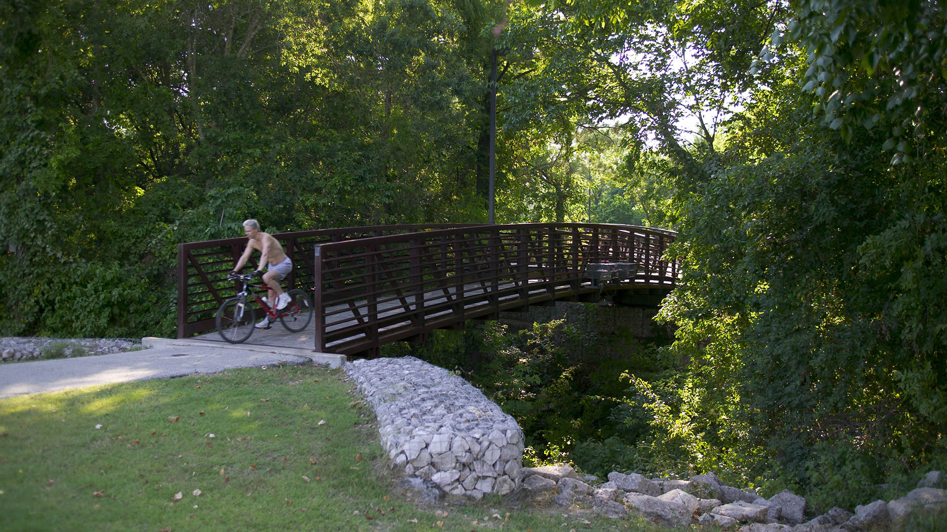
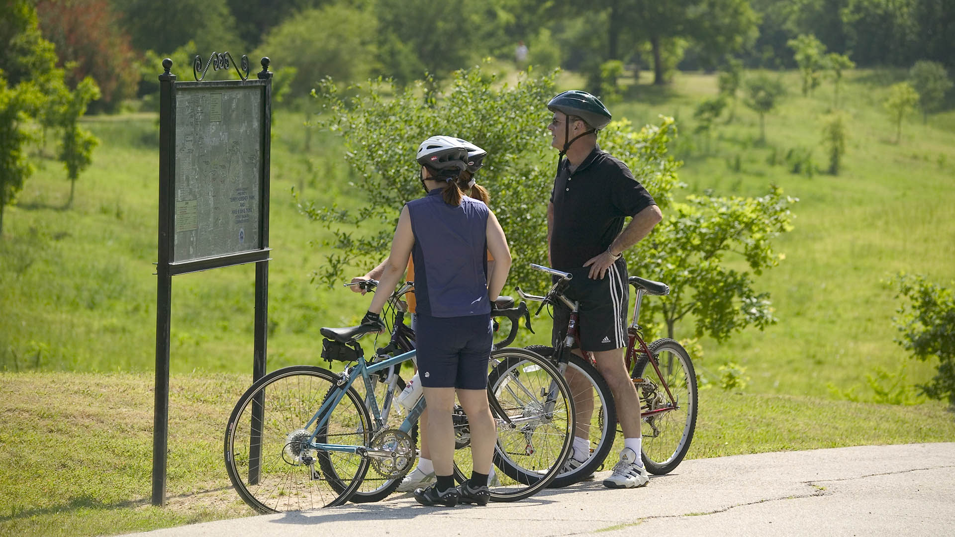
The park design includes a one-mile hike and bike trail system, a pedestrian underpass linking the park to an existing trail system, bridges over the creek, and automobile parking. Gabions were used as an environmentally friendly means of slope retention in a floodway and as a tool for creating places for people to enjoy the wooded environment. Sinuous banks and vegetation masses soften the edges and a trail meandering through stands of pine and oak replaces the former service road. Meadow areas for passive recreation are found in the center of the site while edges are allowed to grow up in shrubs and trees. The project required coordination and approval of Harris County Flood Control District, the U.S. Army Corps of Engineers, Houston Lighting and Power, the City of Houston, and three pipeline interests.
Shenzhen Bay
Situated just across the bay from Hong Kong, the city of Shenzhen has transformed from a small fishing town of 30,000 to a booming city of over 10 million people in 40 years – and has grown over 200 times its original size since 1980. Along the way, the character of Shenzhen’s bayfront was radically altered. Over 65 km2 of marsh and shallow bay were filled to ...
Canvas Park
Canvas Park is an activity-packed recreation center at the heart of Regions North, the latest addition to the growing New Haven community in Ontario. Centering on sports, family play, and social activities, the park offers a 5,000-square-foot lap pool, flexible lawn spaces, sport courts, and reservable outdoor spaces that residents can use for private gatherin...
Pellier Park
In the heart of downtown San Jose, the first of three new SWA-designed parks celebrates the plum tree and agricultural origins of Silicon Valley. The site is a registered California Historic Landmark and the original nursery of Louis Pellier, known as “ The Prune King’ who introduced the French Prune to the Valley in 1856 and sparked the orchard boom in Calif...
Perk Park
Originally completed in 1972, this vestige of IM Pei’s urban renewal plan was built when the street was seen as a menace and parks turned inward. Rolling berms surrounded the edges and the sunken middle areas were filled with concrete retaining walls. After years of decline, Thomas Balsley Associates’ designed a plan to reunite the community with its park. The...


