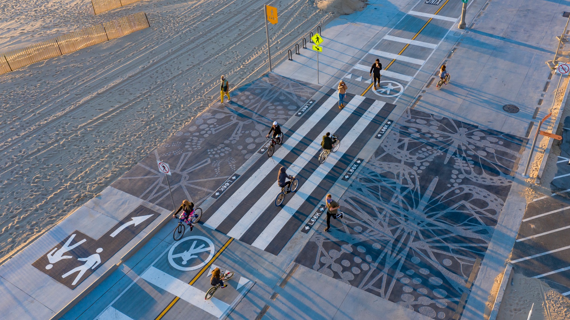
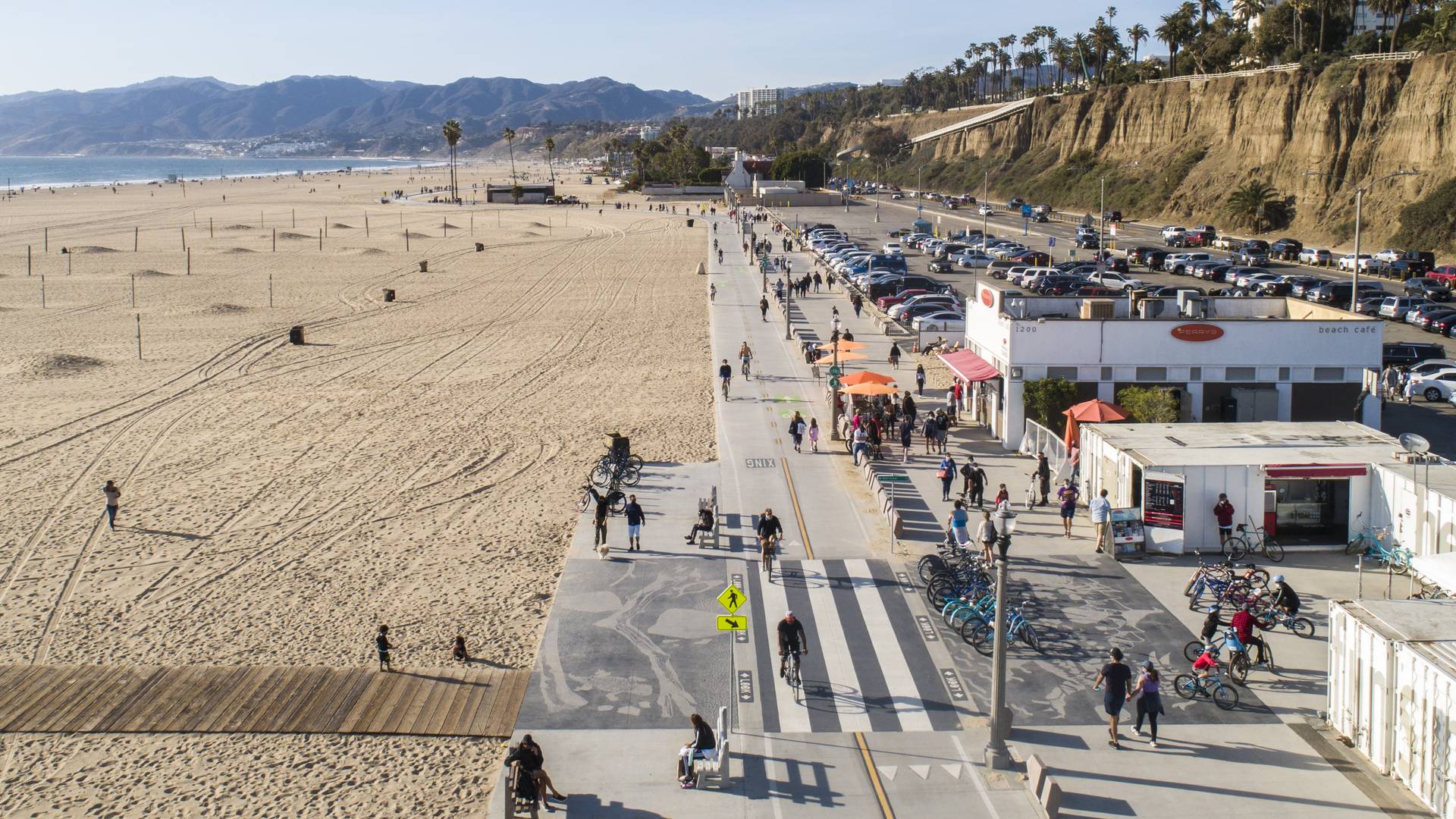
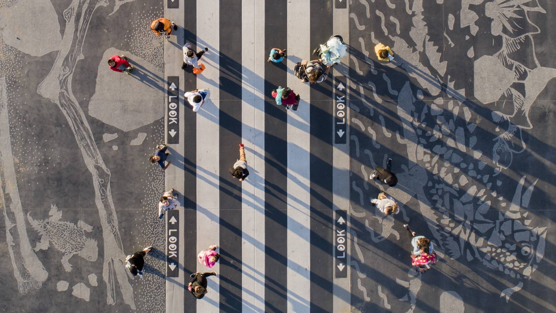
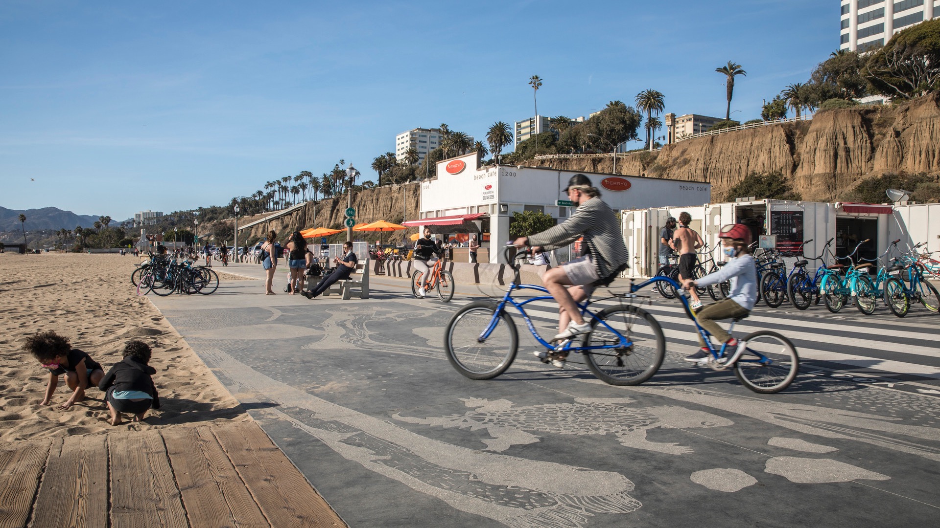
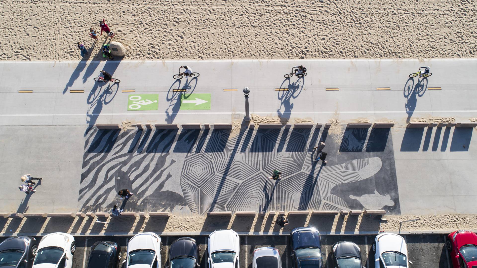
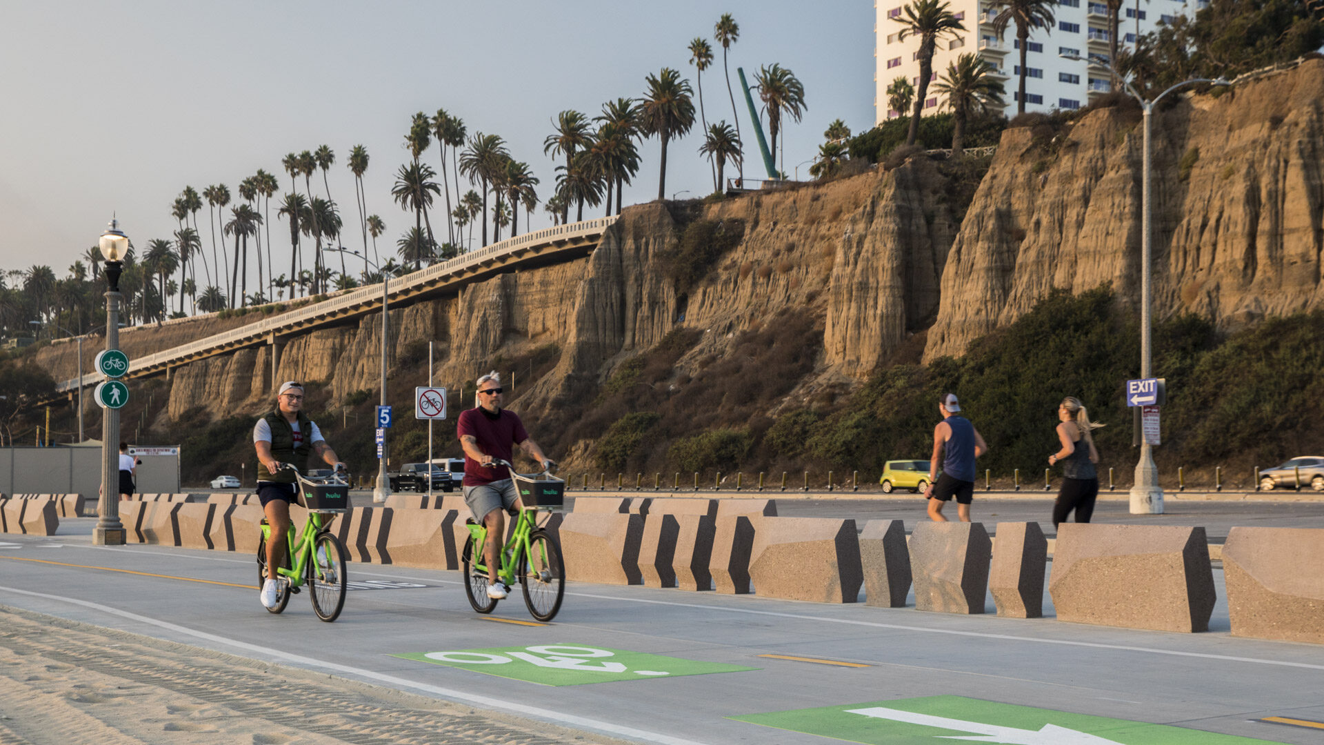
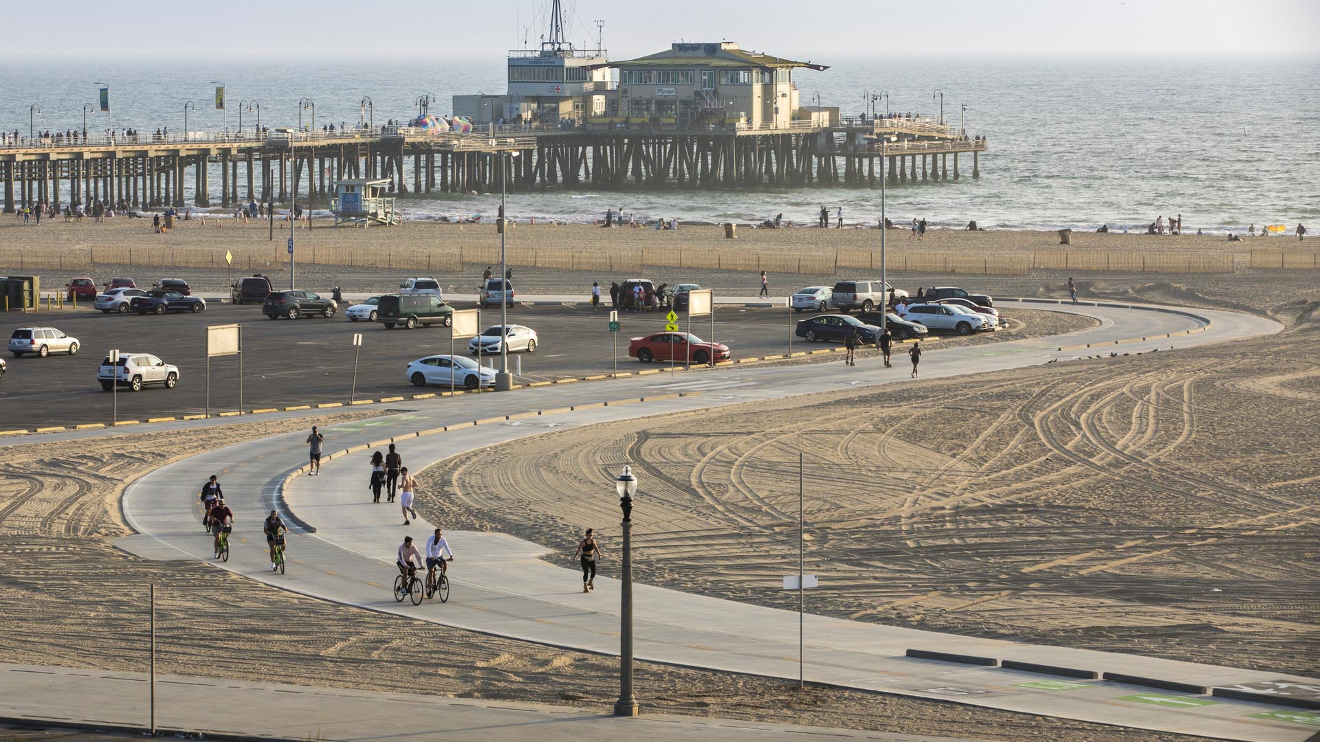
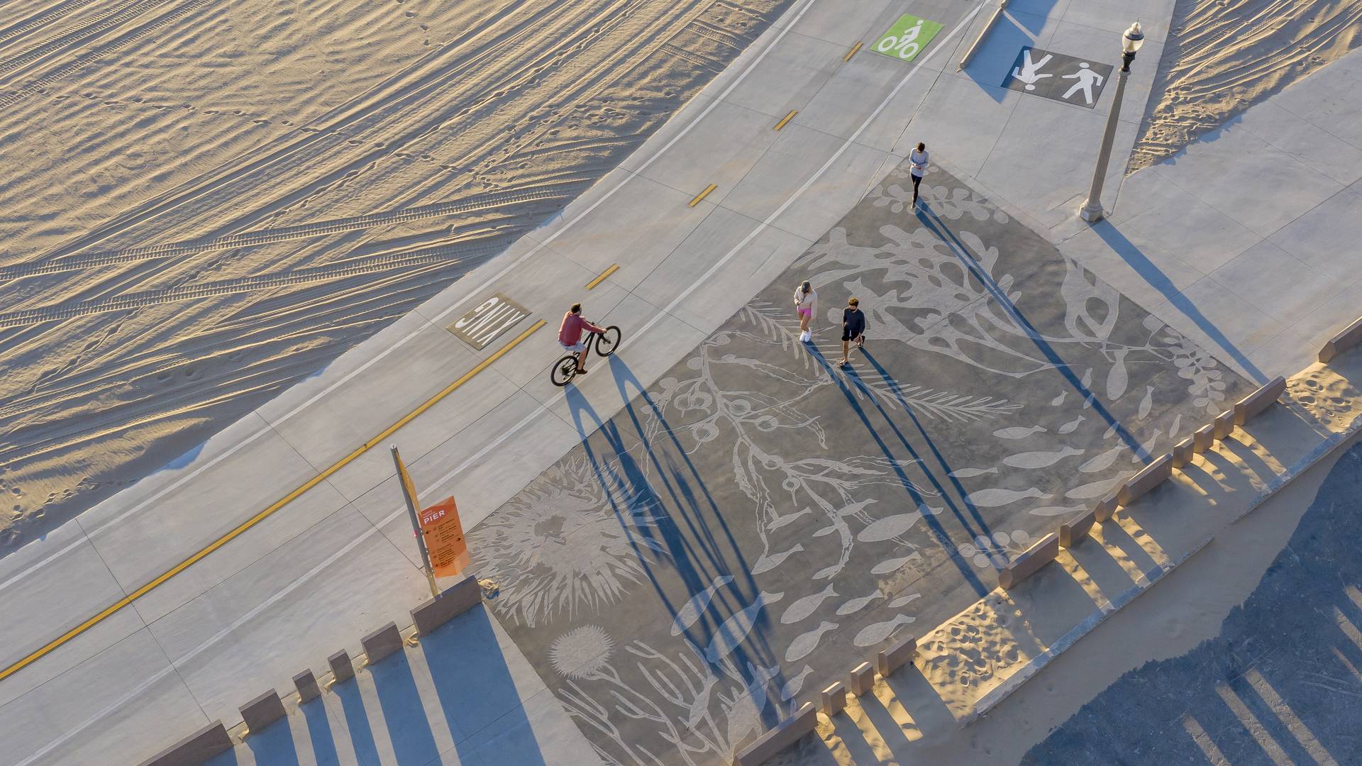
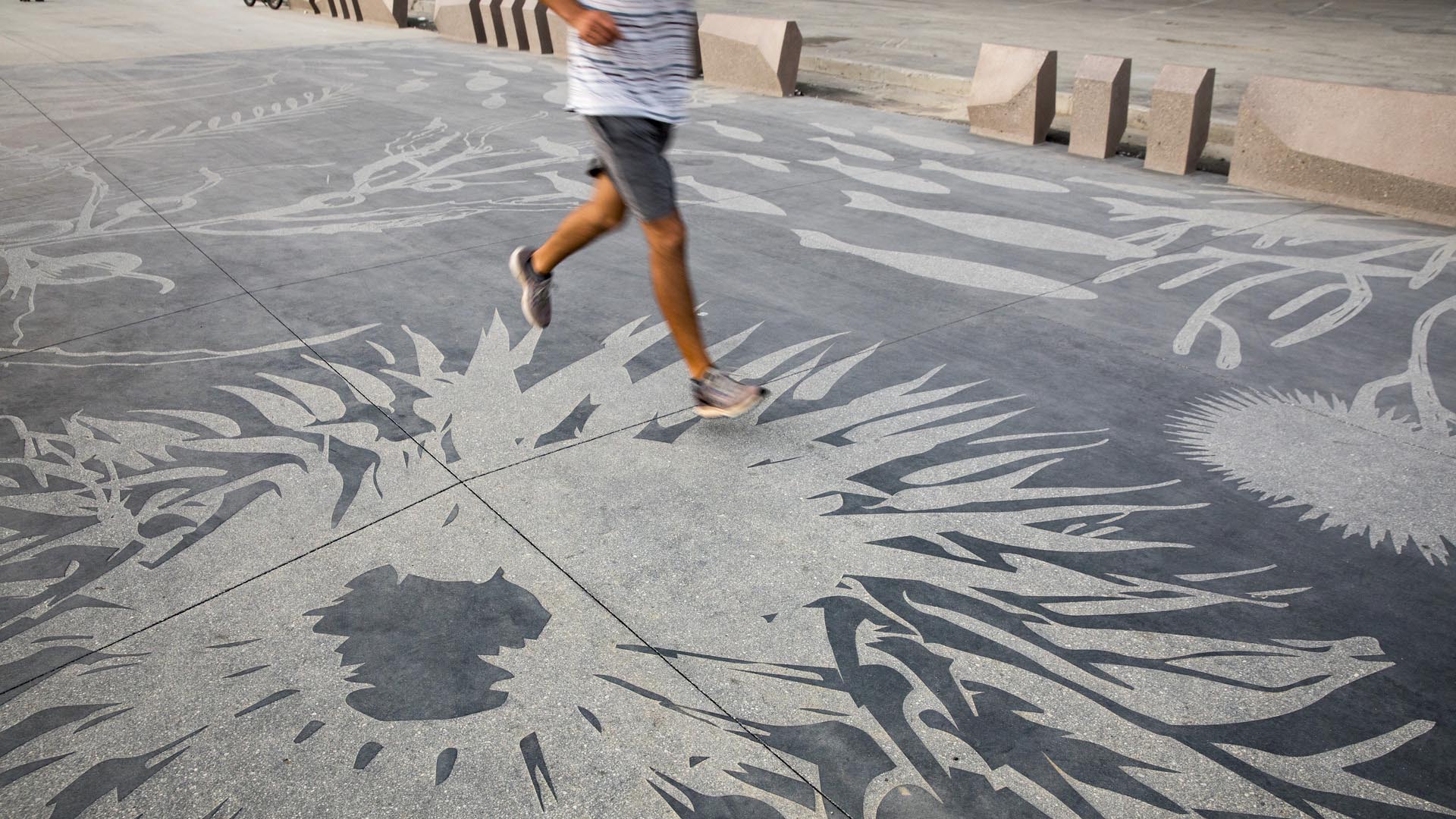
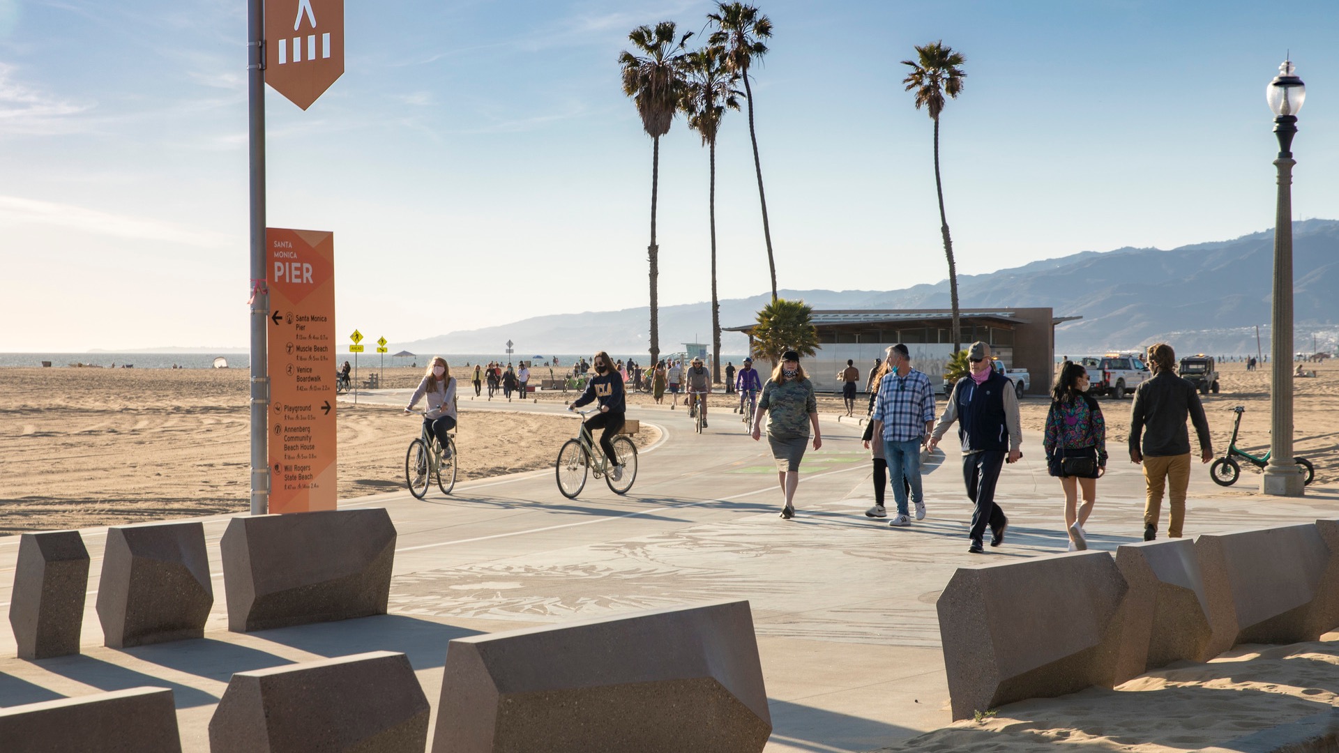
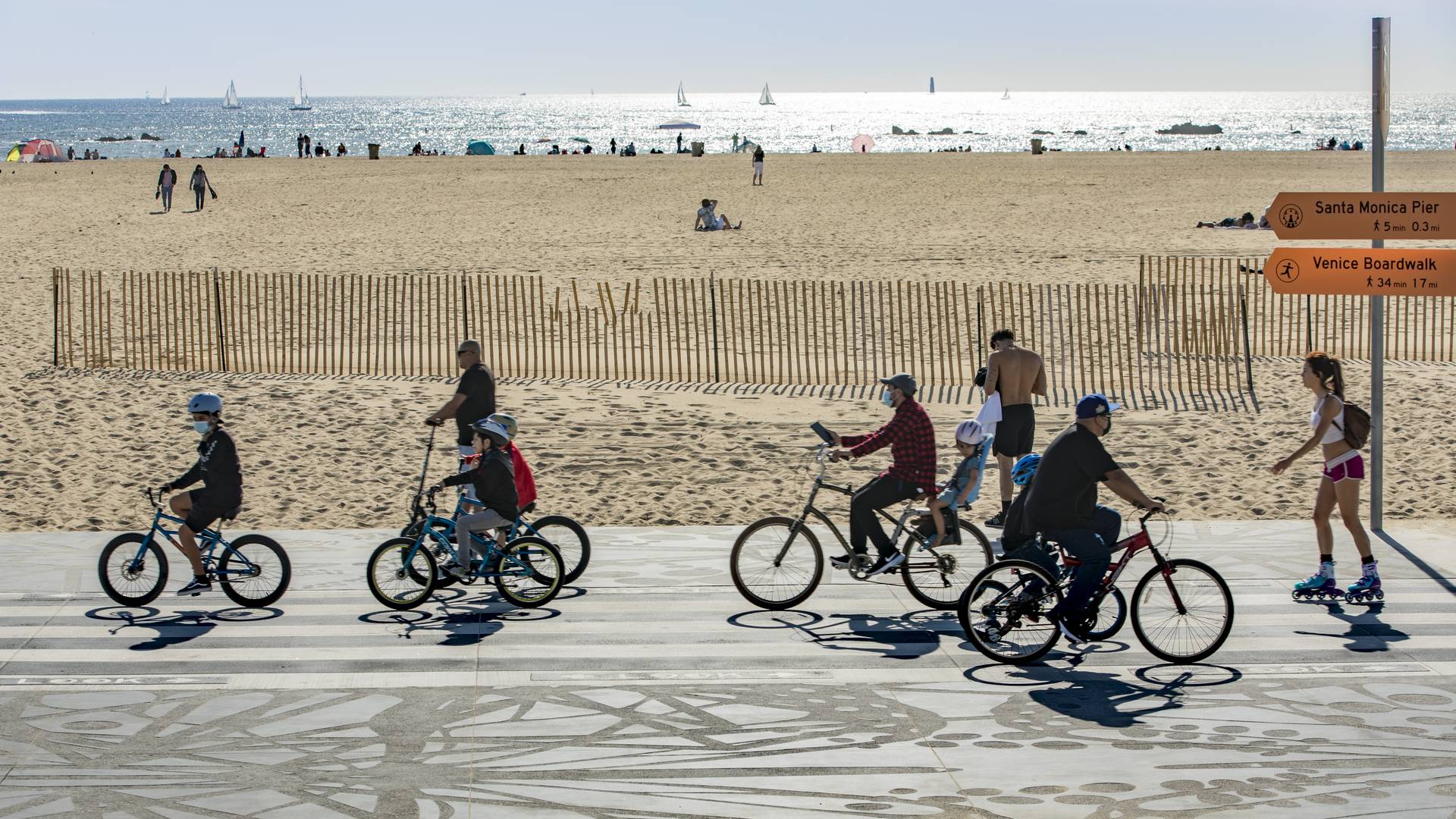
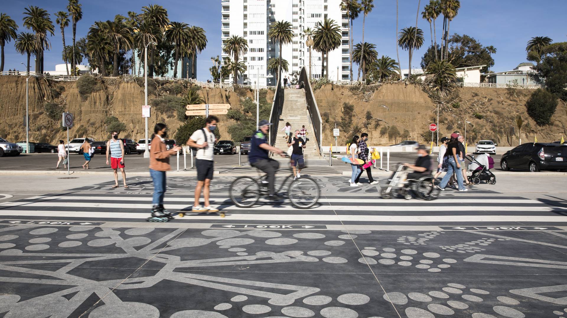
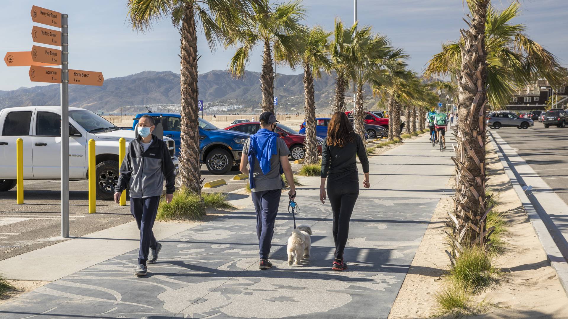
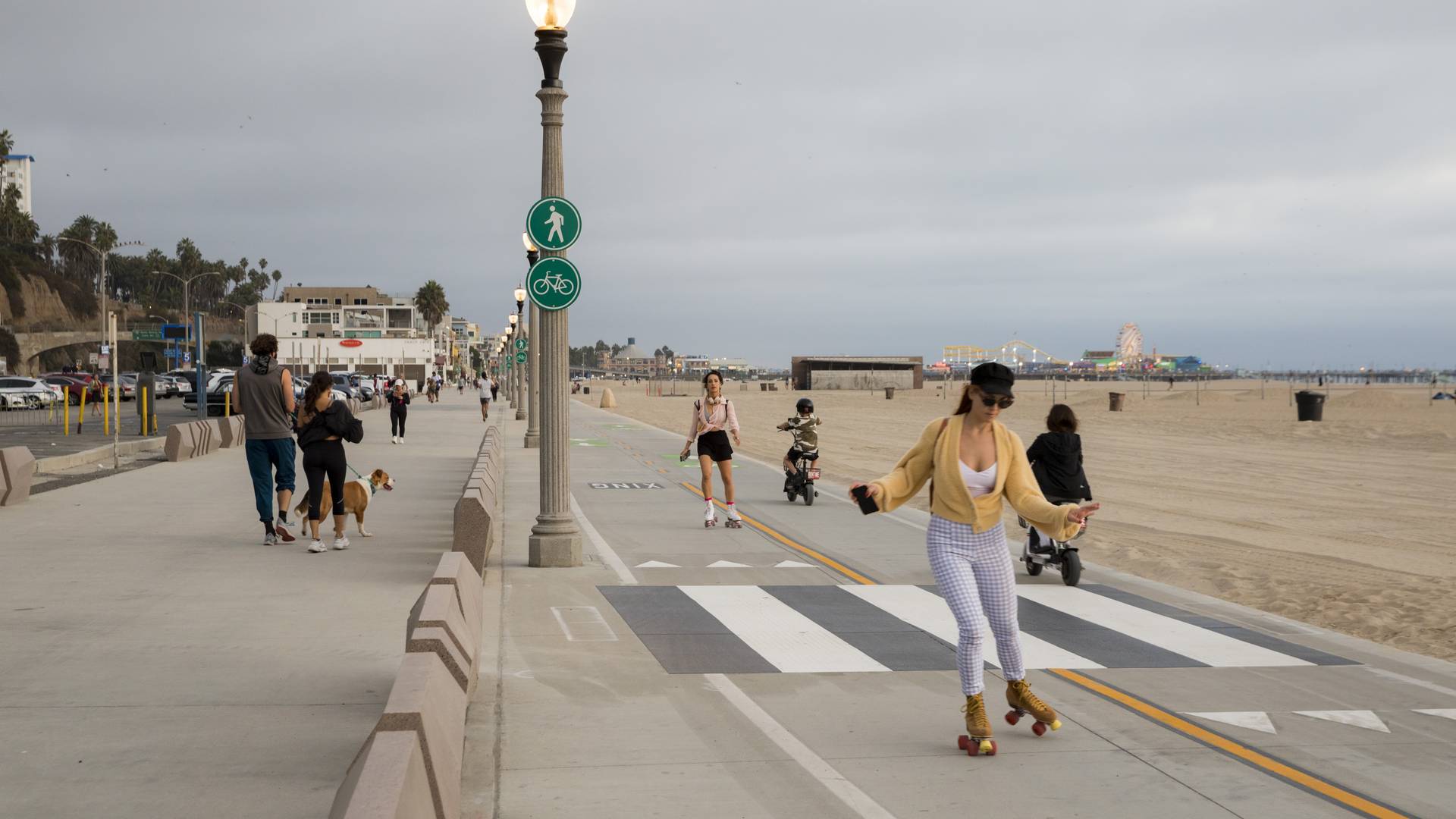
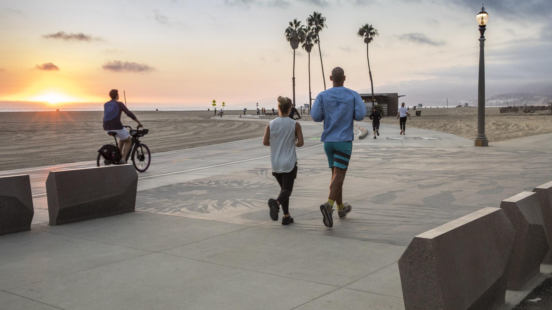
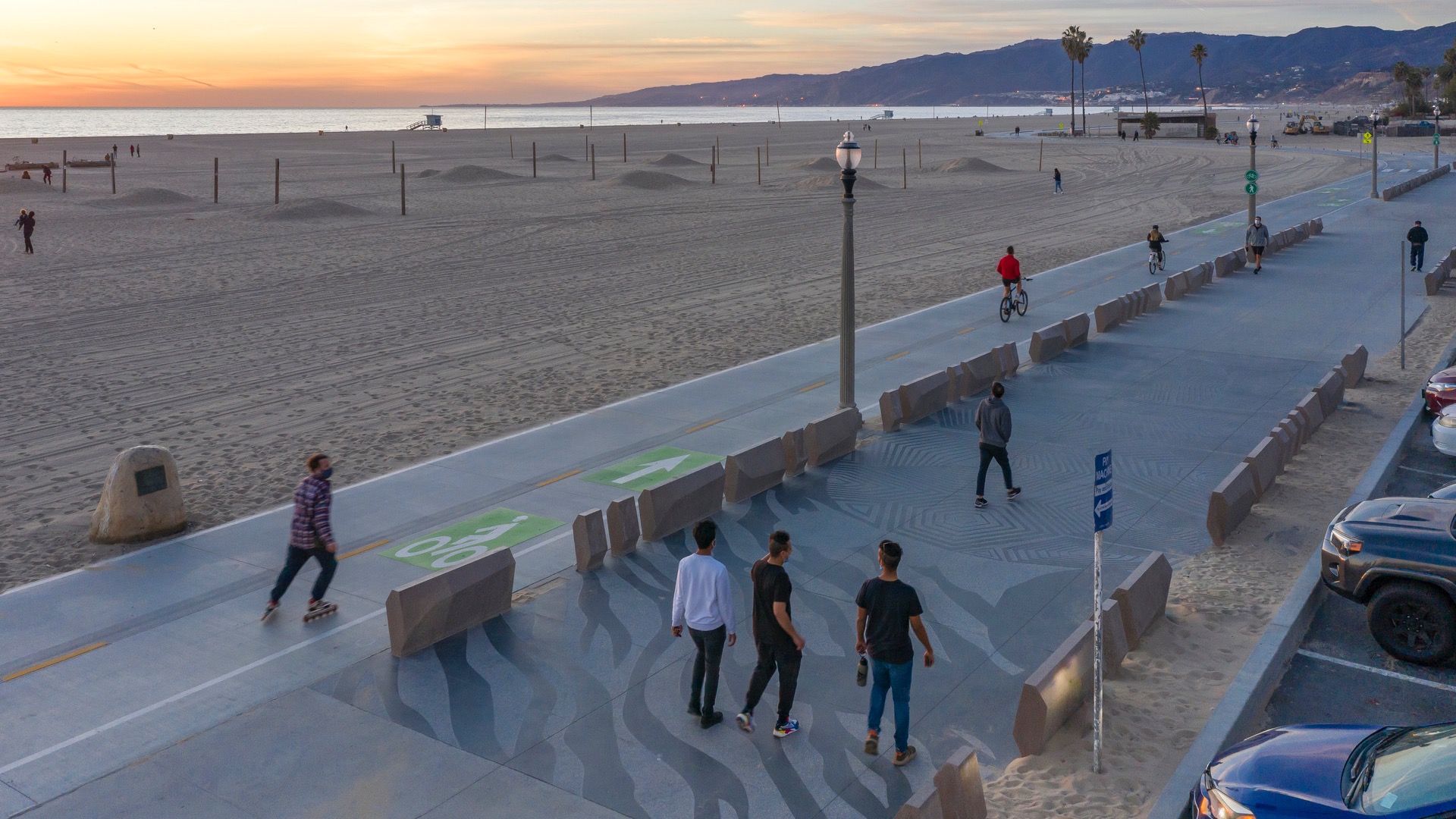
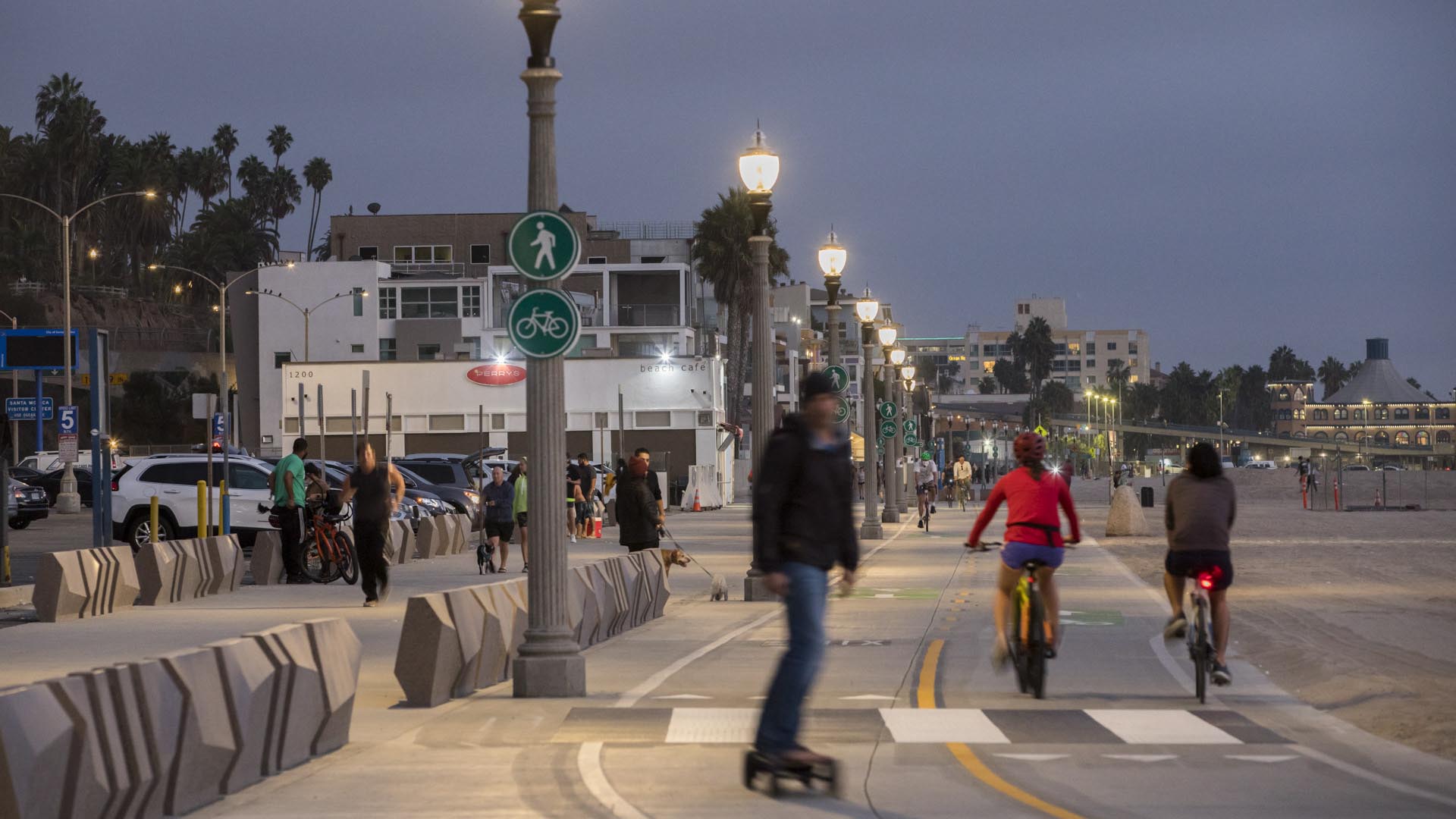
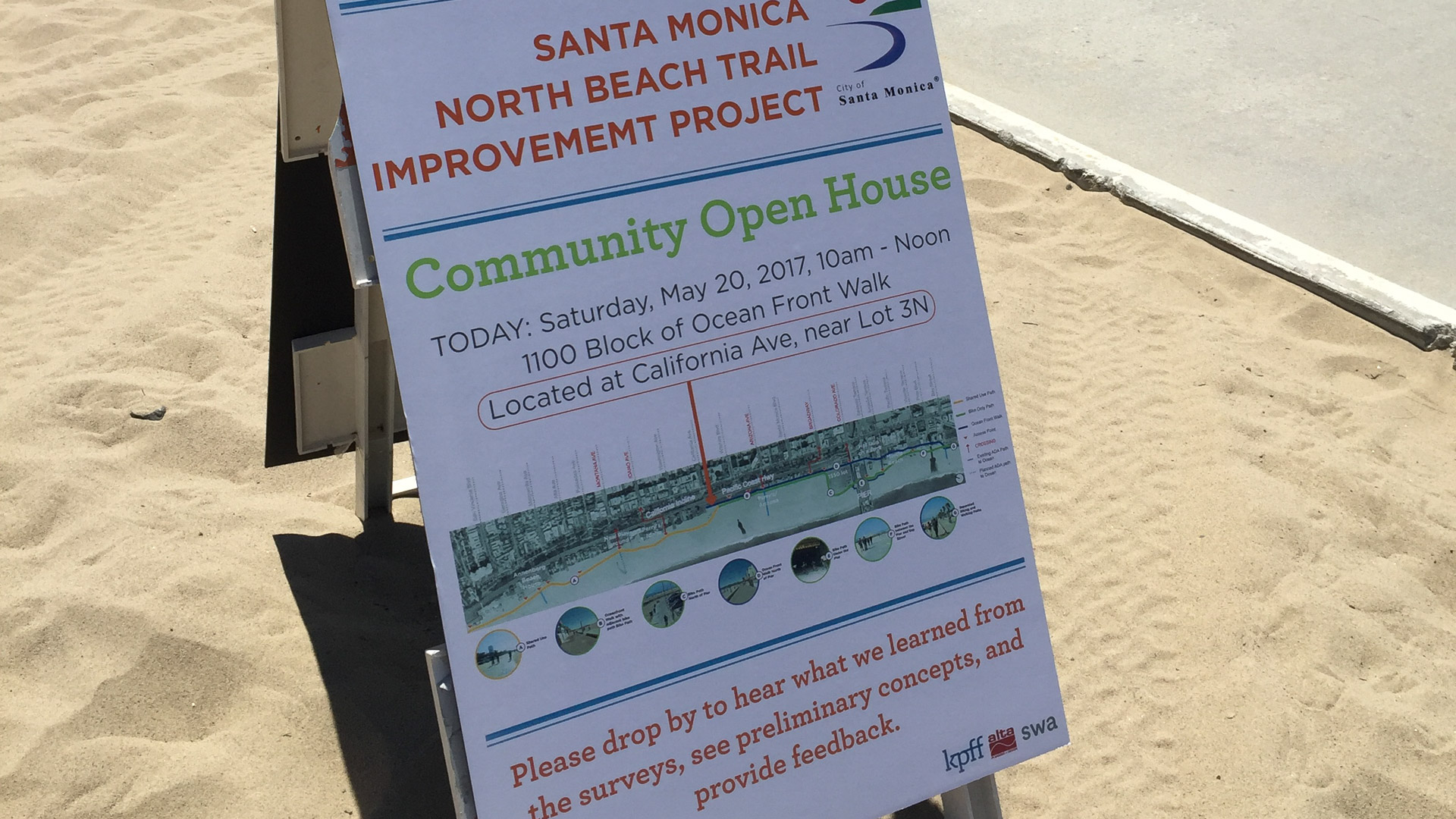
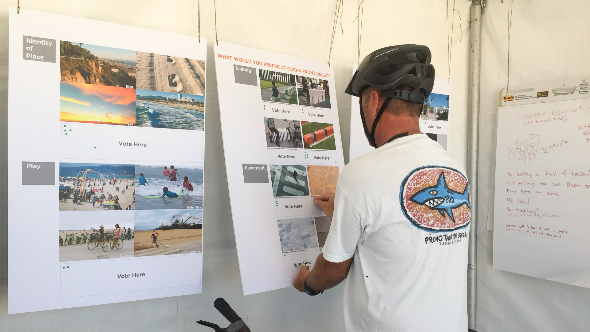
While the beaches of Santa Monica are arguably one of the most iconic landscapes in Southern California, the trails running through them are less well known. Among those is the Marvin Braude Bike Trail, which runs from Mexico to Oregon and is commonly referred to as “The Strand” by locals. In recent years, The Strand bike trail had become congested and dangerous for visitors and recreational users who were crowding the concrete sidewalk at varying speeds. SWA, along with team members KPFF and Alta Design and Planning, provided a design update to this valuable recreational amenity so that all types of users can experience the space safely. Recognizing that this community amenity has a wide range of stakeholders, the design team, with the support of the City of Santa Monica, conducted community outreach to remain transparent about the process. SWA also provided support through exhibit production and by conducting interviews and open houses.
Milton Street Park
Milton Street Park is a 1.2-acre linear urban park alongside the Ballona Creek Bike Trail in Los Angeles, California. The plan incorporates numerous green-design elements, including the use of recycled materials, native planting, flow-through planters and treatment alongside the 1,000-foot-long, 45-foot-wide stretch of land. A variety of special elements such...
Santana Row
SWA provided full landscape architectural services for the development of a neo-traditional town center near downtown San Jose. The client’s vision called for a variety of design styles to create a town center with an impression of growth over time. This theme is expressed in building elevations as well as landscape design. The restaurants and boutique r...
Culver City Medians
The Culver Boulevard Median Park has worn many hats over time, from railroad right-of-way to freeway on-ramp to bike and pedestrian conveyance. Today the Median Park is being asked to do more. Introducing below-grade stormwater management, SWA is working with the community to finesse an intricate network of stormwater, biodiversity, traffic, and program. The p...
Longgang River Blueway System
The Shenzhen Longgang River Blueway System is envisioned to unlock the tremendous land value of this 13-mile-long suburban watershed and galvanize the city’s future growth. SWA’s proposal addresses urbanization issues pertaining to water, the environment, and open space shortage, while also activating industrial and cultural revitalization in the surrounding d...


