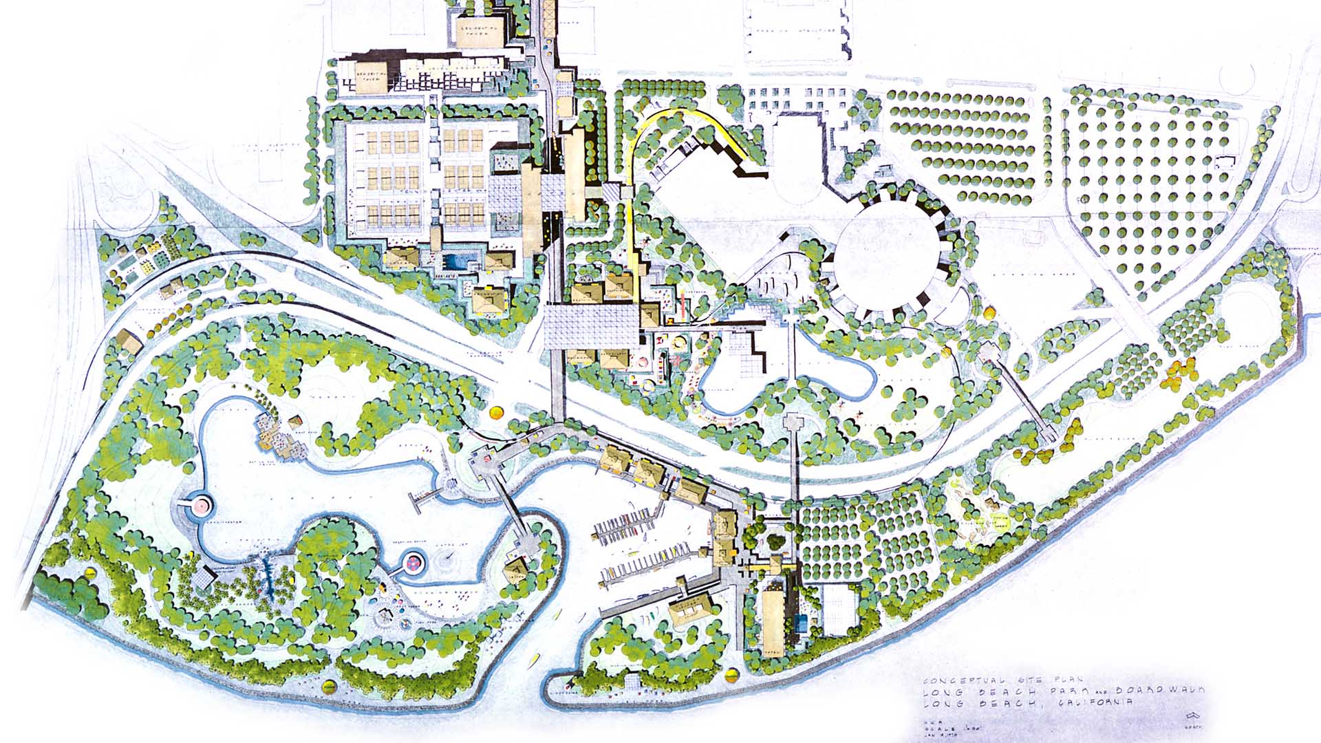
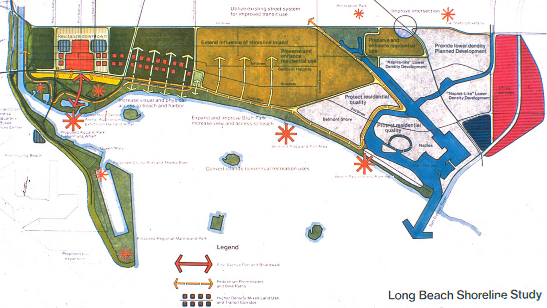
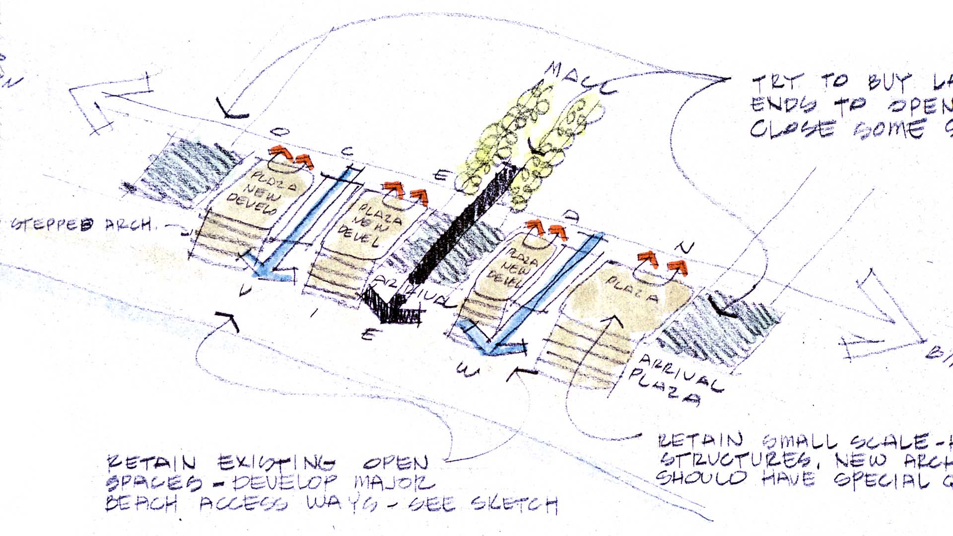
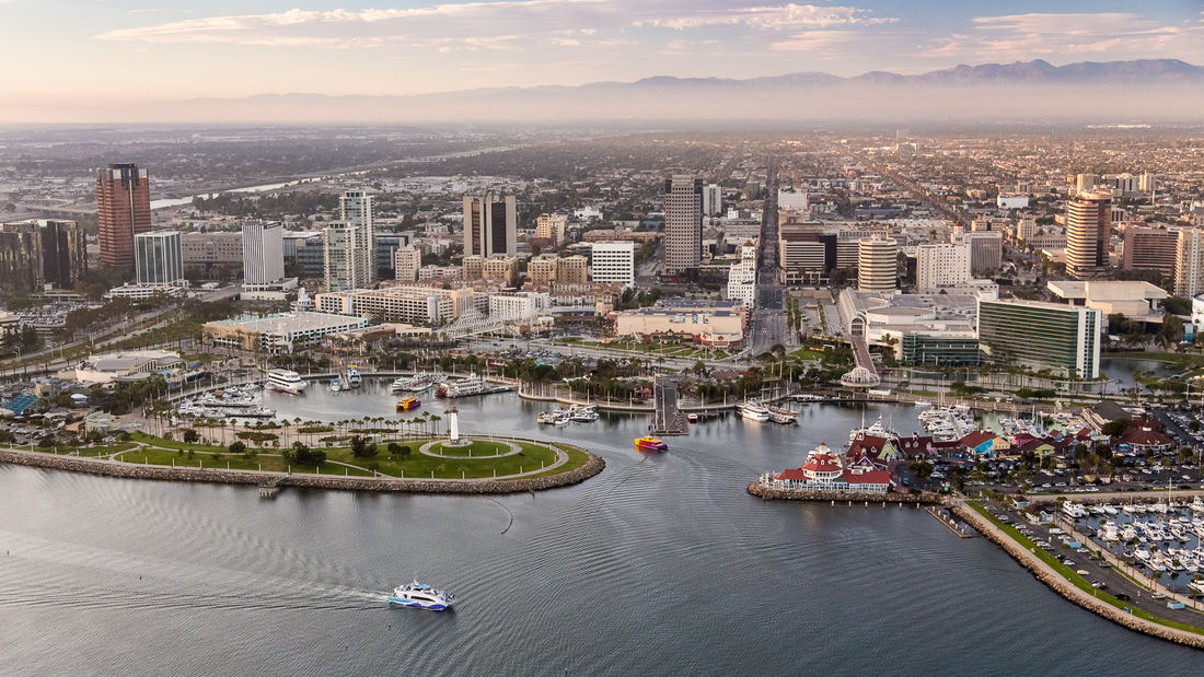
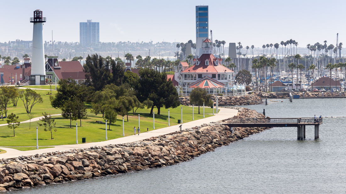
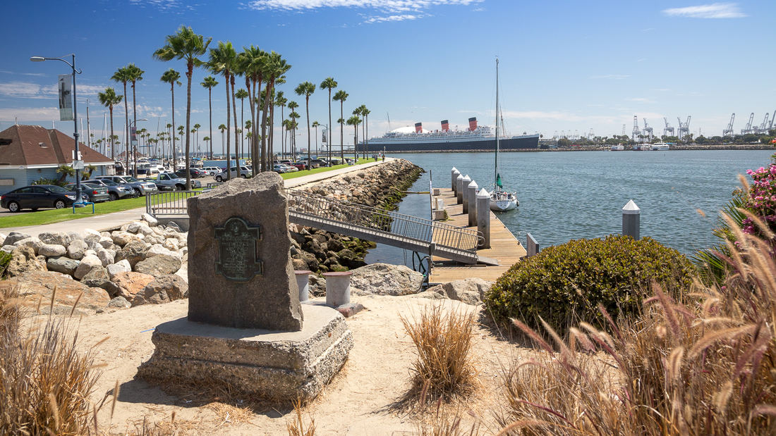
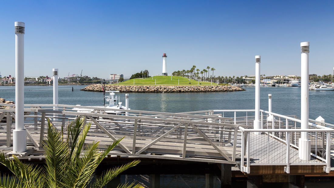
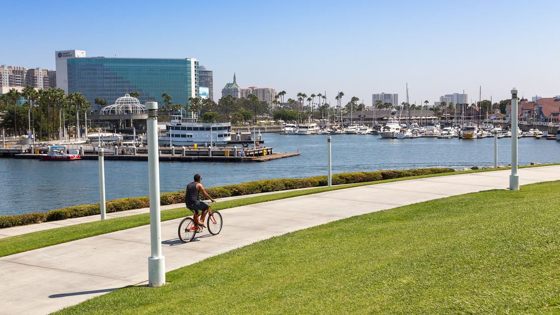
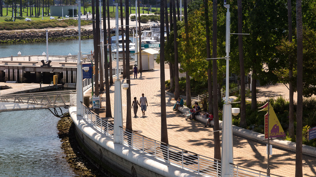
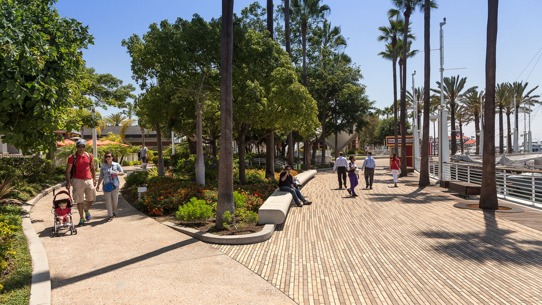
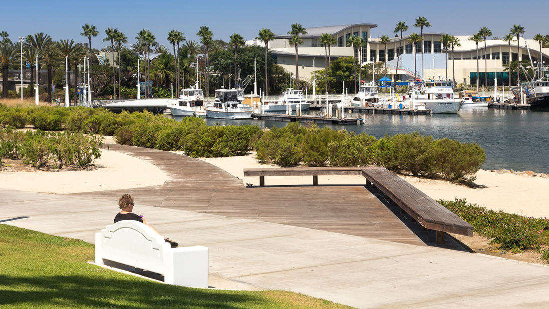
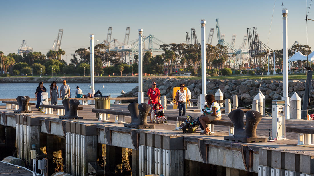
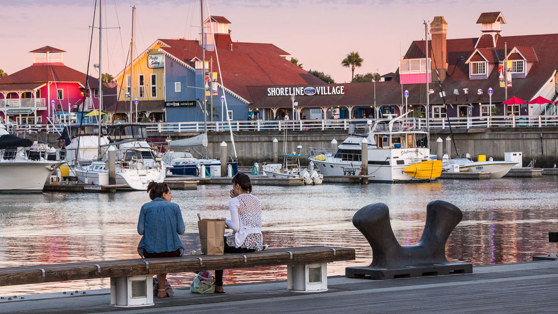
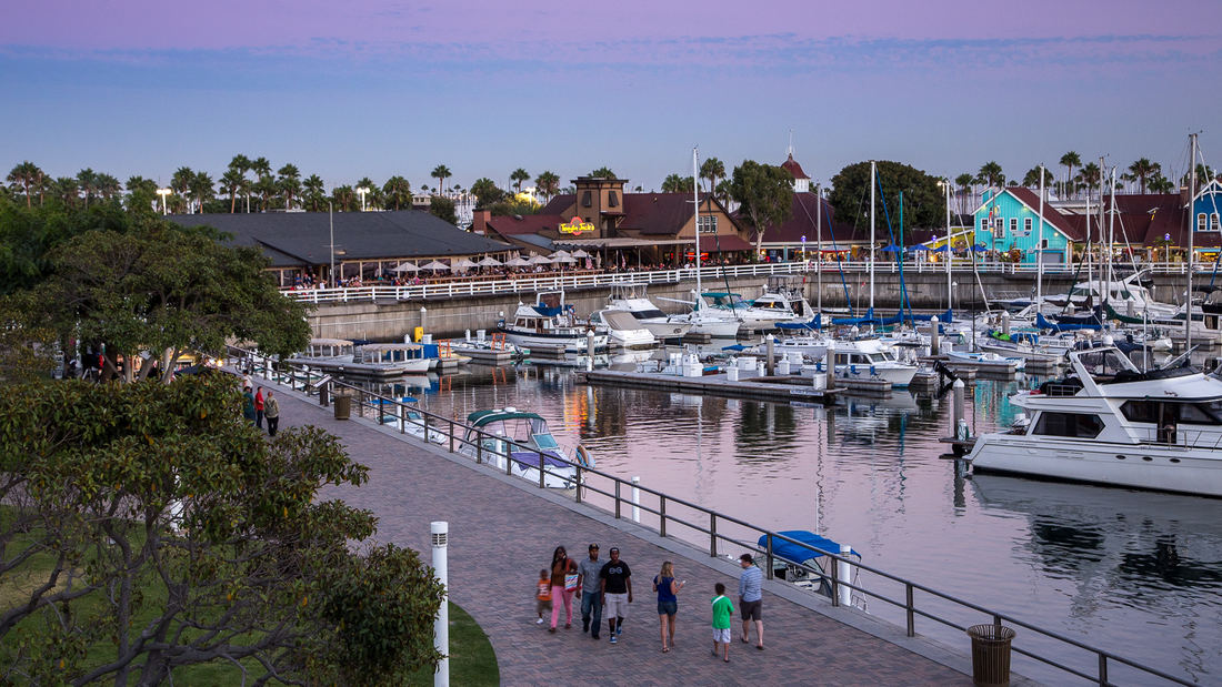
SWA prepared a land use and urban design plan for six miles of waterfront adjacent to downtown Long Beach. Through a series of meetings with local community stakeholders, we were able to determine the different needs of each district in the plan: of critical importance was the need to preserve valuable open space inland, and to maintain an ecological corridor for stormwater management along the shoreline. The resulting plan, endorsed by the California Coastal Commission, proposed improved road circulation, a continuous pedestrian boardwalk, marina and commercial development, and a 50-acre shoreline park. In addition to recommendations related to building density and height restrictions to preserve view corridors, SWA proposed several strategies for improving access to the coast from different points within the city. Specifically, we proposed a major new pedestrian spine linking downtown to the bay with provisions for new high-density office and residential development. Following approval of the plan, SWA was hired to perform more detailed studies of downtown development in support of the new convention center arena, performing arts center, Hyatt Regency hotel, and the Shoreline Village. The important recommendations made by SWA are still evident today in the distinct qualities of Long Beach’s downtown and shoreline neighborhoods.
Longgang River Blueway System
The Shenzhen Longgang River Blueway System is envisioned to unlock the tremendous land value of this 13-mile-long suburban watershed and galvanize the city’s future growth. SWA’s proposal addresses urbanization issues pertaining to water, the environment, and open space shortage, while also activating industrial and cultural revitalization in the surrounding d...
Embankment Square
The Embankment Square is located along the east bank of the Huangpu River in Shanghai. The project consists of landscape areas in three office parcels and one waterfront park parcel. The view of the site is remarkable, looking toward the landmark skyscrapers of Lujiazui Financial Center, Nanpu Bridge, the Bund, and the Minsheng CBD.
The design concept c...
Aquatic Park & Pier Vision Study
The Aquatic Park and Pier Vision Study is a community-led effort examining new possibilities along San Francisco’s northern waterfront. Prompted by the need to replace the disintegrating Aquatic Park Pier — a historic, curvilinear structure that shelters shoreside water for swimmers and boaters — the Vision Study looks beyond the immediate boundaries of the Ma...
Hangzhou Hubin
West Lake in Hangzhou, China, one of the world’s most romantic places and as familiar an icon as the Great Wall or the Forbidden City, has been designated by the United Nations as one of the World Cultural Heritage Sites. Seven hundred years later, the city that served ancient emperors as a capitol boasts a population of over three million and is still a...


