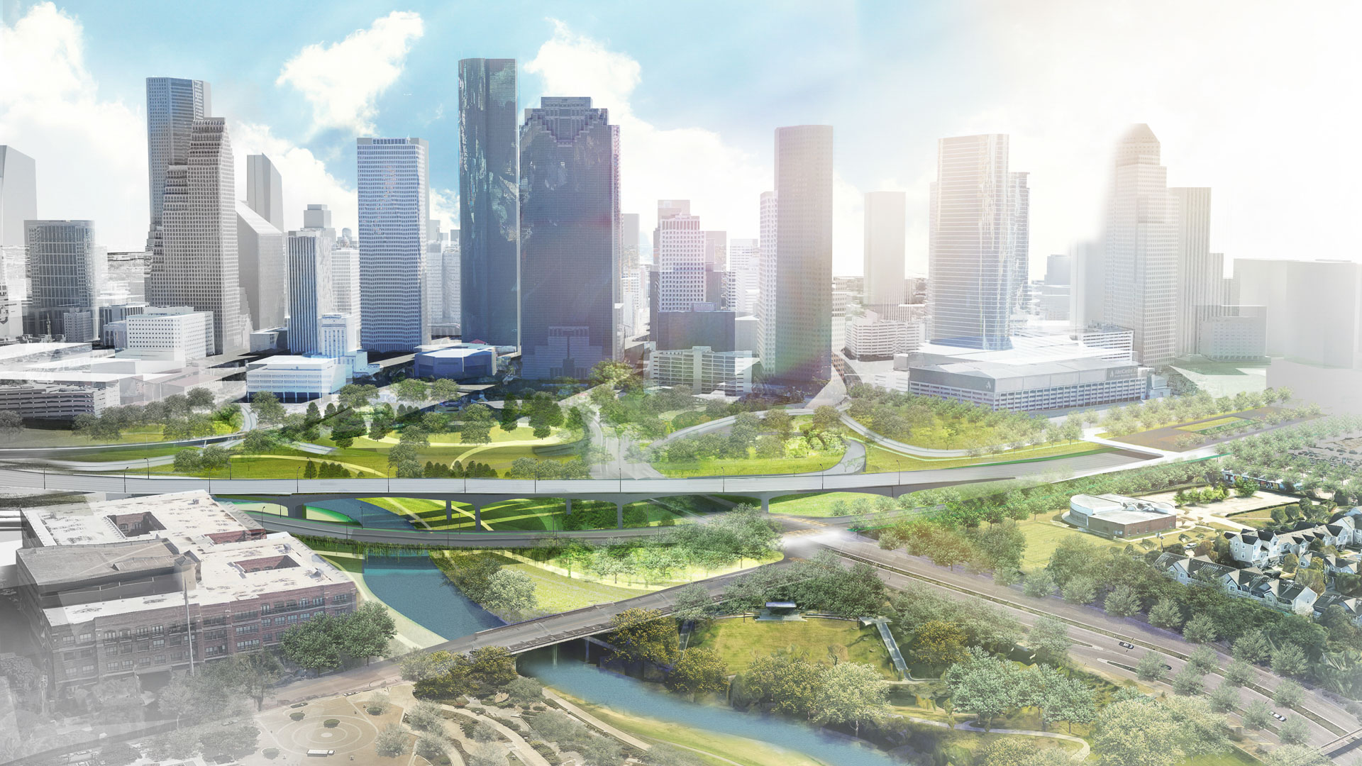
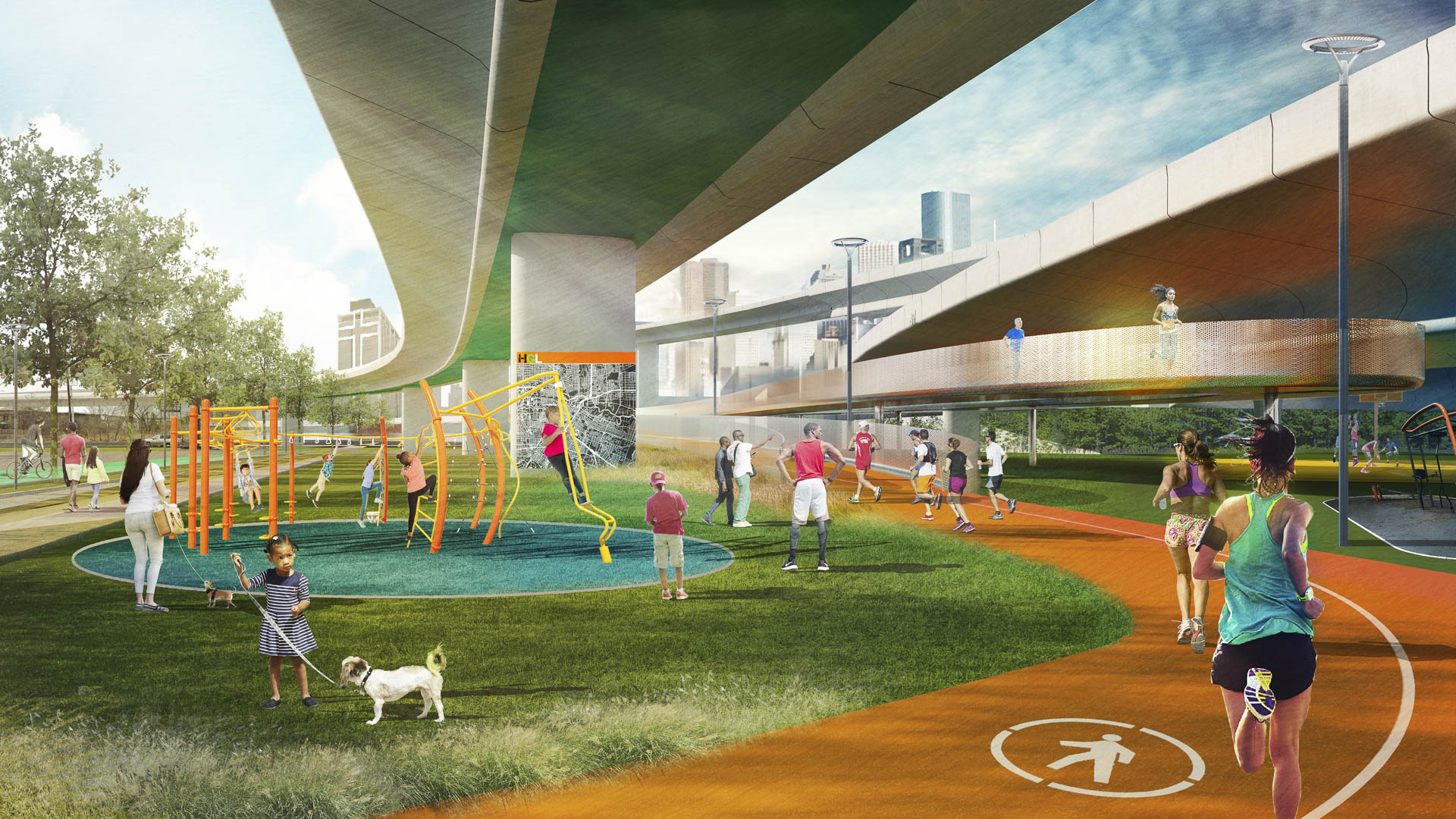
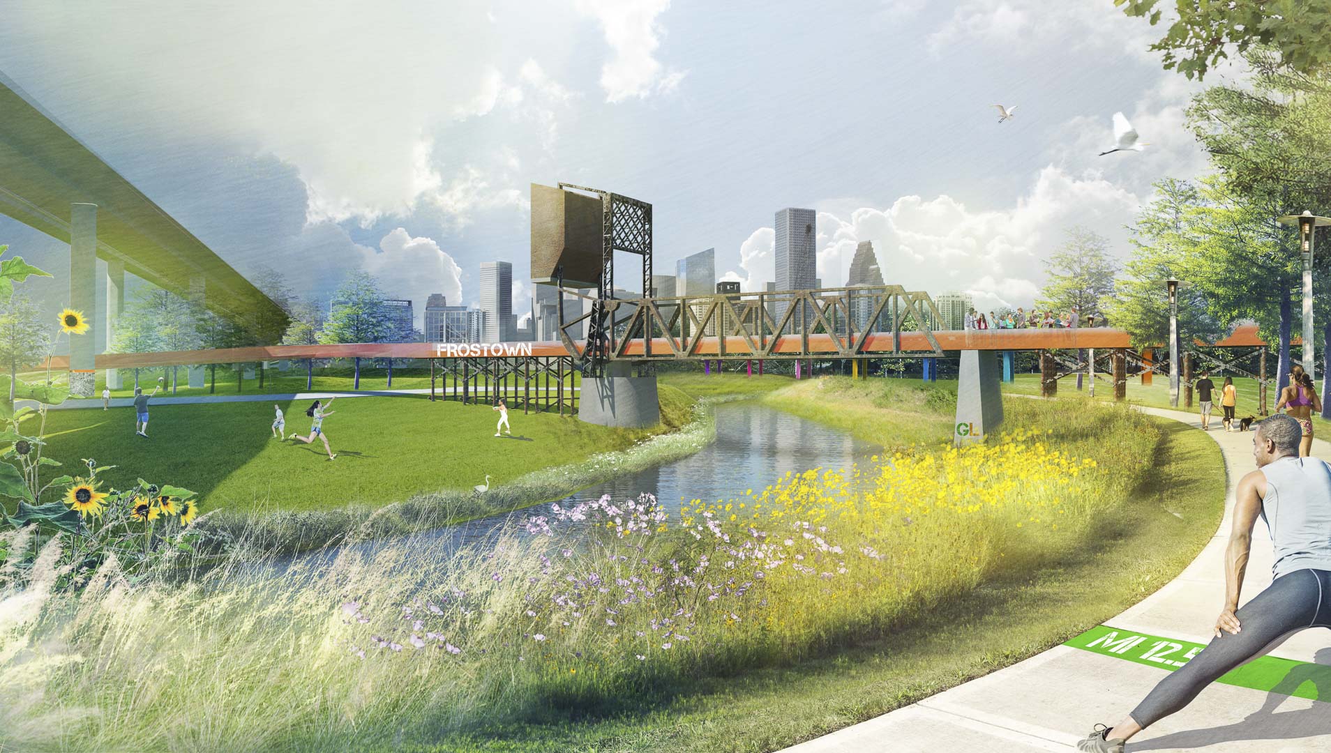
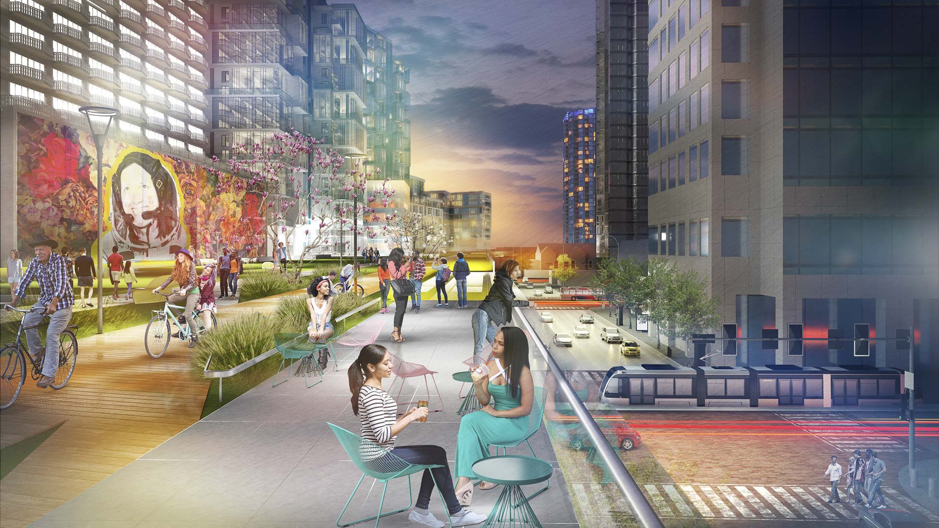
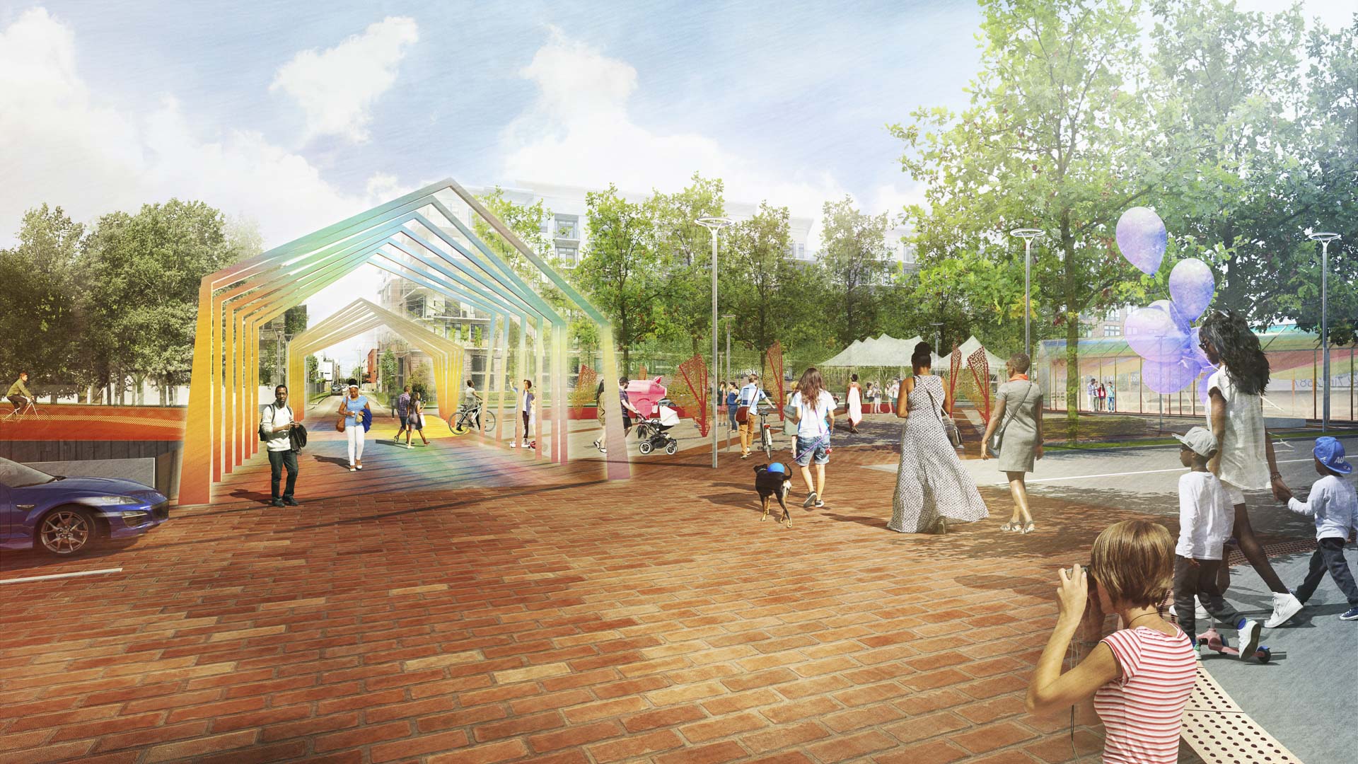
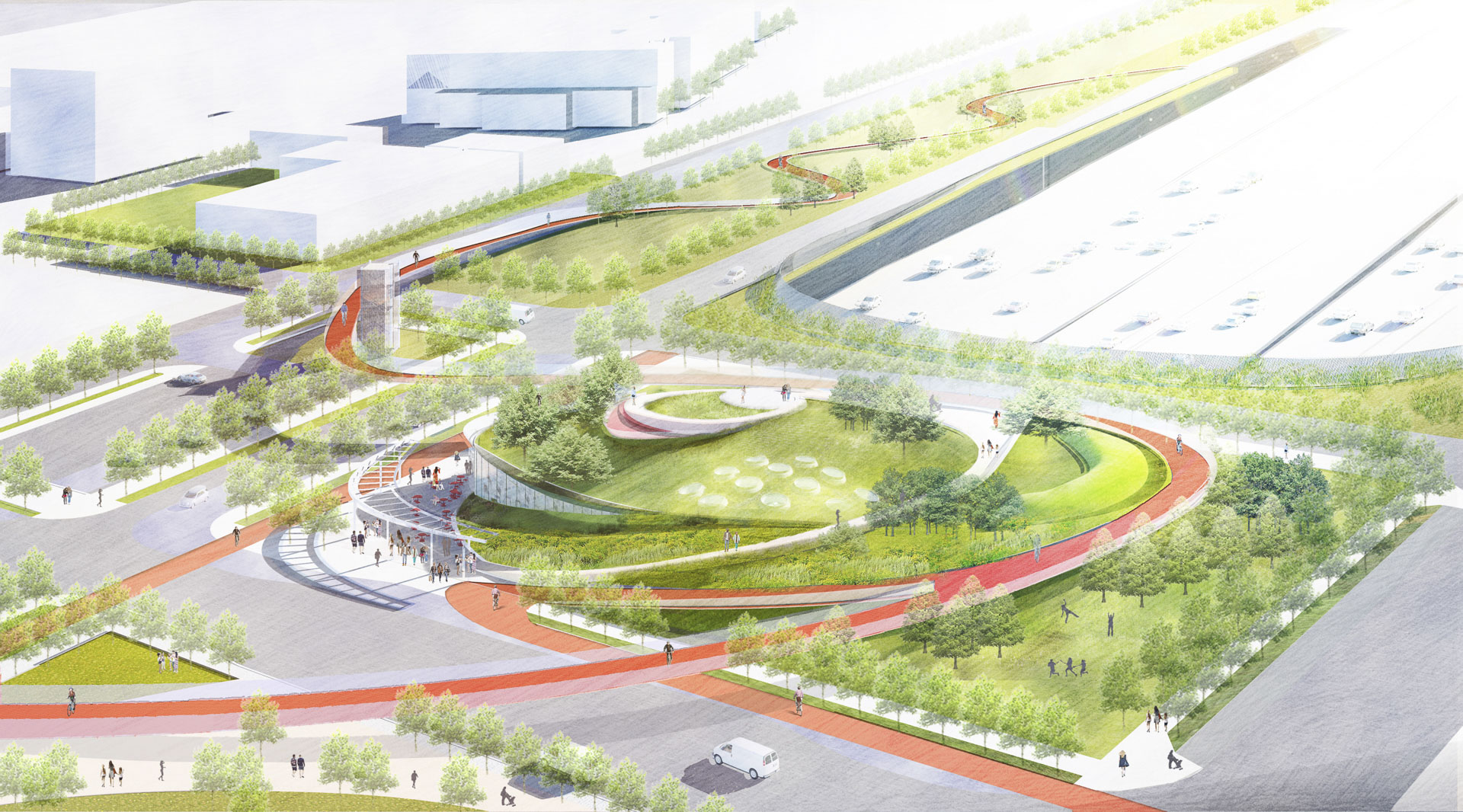
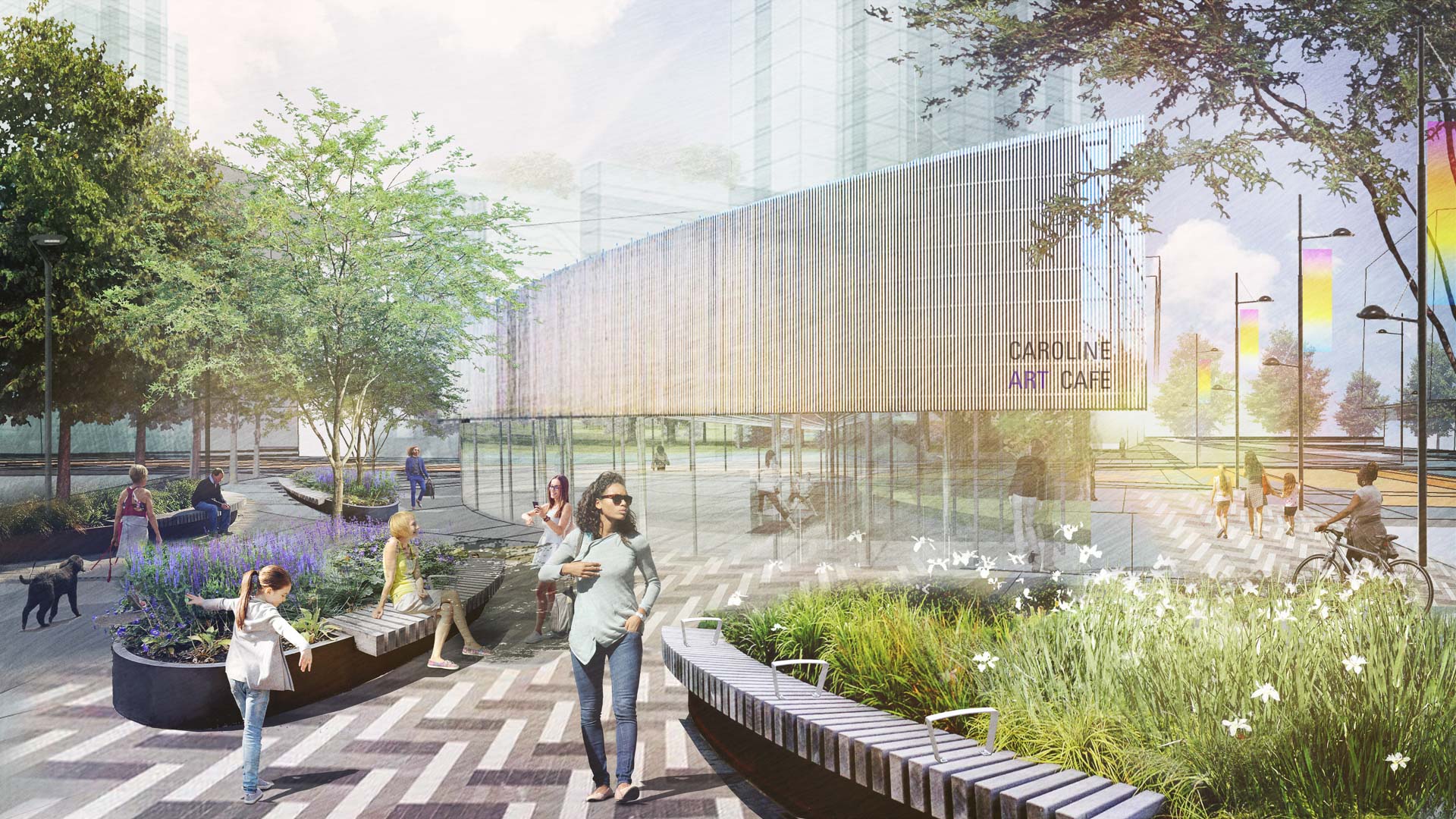
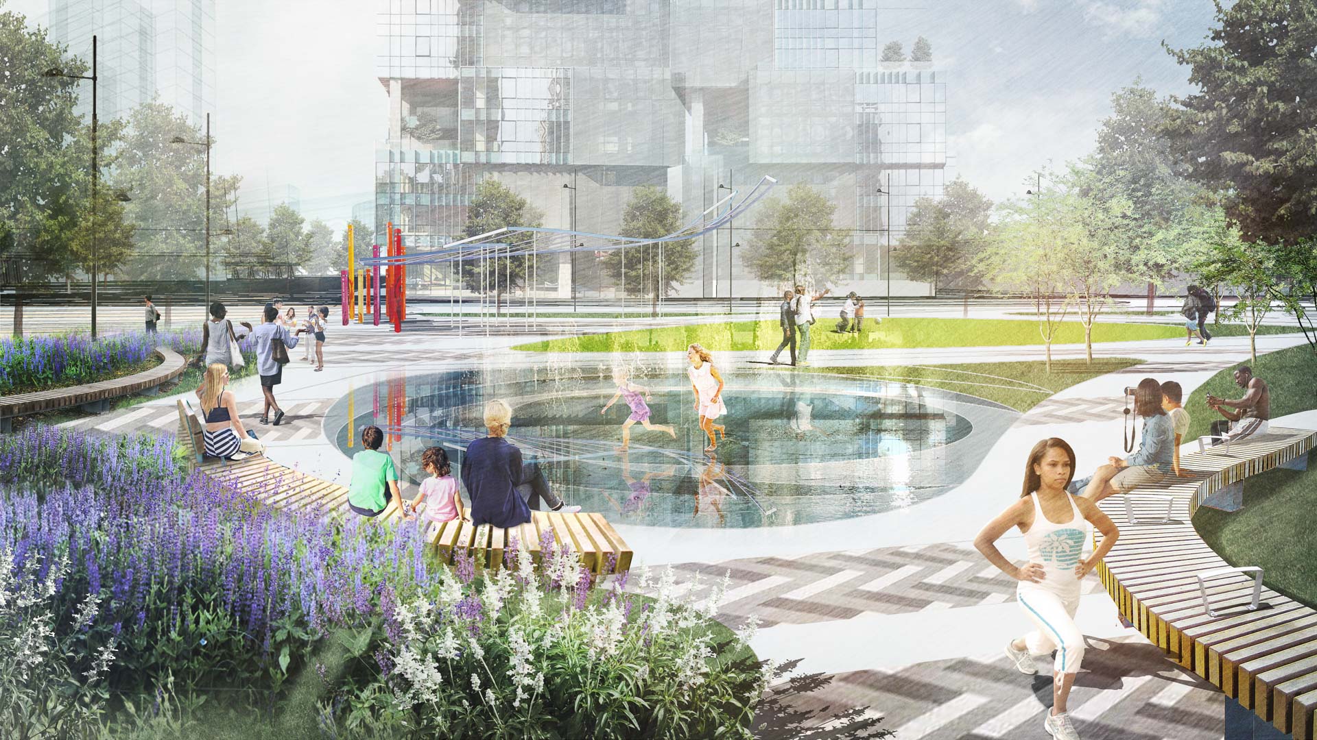
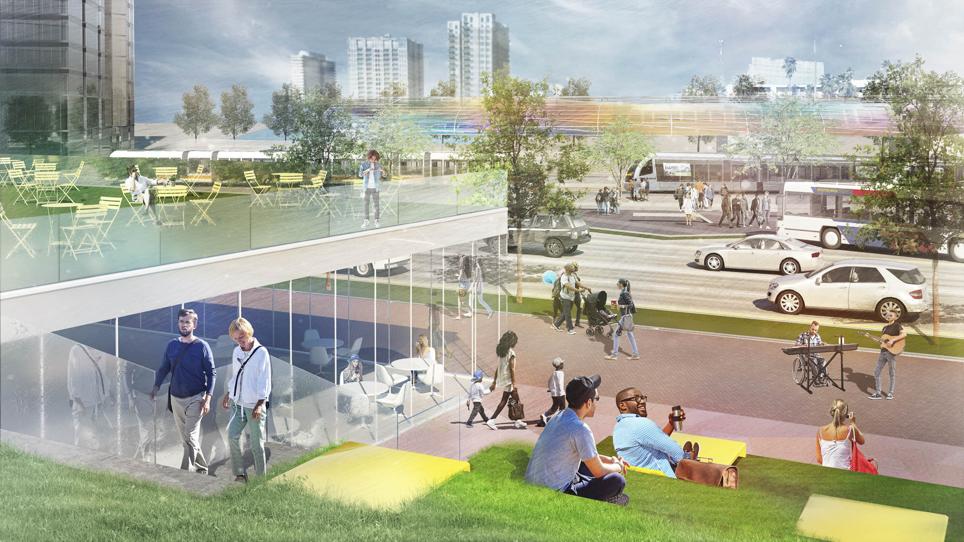
With the coming expansion and realignment of the highways around Downtown Houston, SWA identified the opportunity to enact a bold vision: a multi-use branded connectivity system that will leverage the immense reconstruction investment. SWA’s concept creates a continuous pedestrian loop over, under, and around the downtown highway system, thus redirecting the unpleasant experience and appearance of the freeway infrastructure into unique pedestrian-scale experiences while creating meaningful exchanges among neighborhoods and urban districts. The loop re-imagines the civic commons by artfully negotiating topography, land use, and natural resources. The renderings aim to demonstrate strategic investment zones that have the potential to initiate development of the Houston Green Loop. These visuals successfully served as a tool for communicating possibilities and investment value to the mayor’s stakeholder committee, which is comprised of prominent city officials, entrepreneurs, and philanthropists. As one example of a sustainable gesture along the Loop, at Frostown Crossing, the design proposal creates an outdoor amenity along a detention pond that is activated by the restoration of a historic bridge.
NOAH Ethnographic Village
Armenia has set an initiative to increase global tourism and develop a site within its capital city with majestic views of Mount Ararat, where Noah’s Ark is purported to have landed. SWA developed a strategic plan based on several principles derived from the existing context of the site: first, to capitalize its proximity to important landmarks that allow for ...
Halperin Park
Halperin Park (previously known as Southern Gateway Park) caps Highway 35 in South Dallas directly adjacent to the Dallas Zoo and the Oak Cliff neighborhood. The park’s design effectively reconnects the neighborhood, which was cleaved by the highway’s construction many decades ago.
Recognizing the reunification’s significance, the cap park design introd...
King Harbor Public Amenities Plan
SWA’s work on the King Harbor Public Amenities Plan manages the site’s vulnerability to severe ocean conditions by updating existing infrastructure, providing new programming, and creating a plan for sea-level rise and King Tides. The Amenities Plan serves as a powerful tool to guide growth both for the waterfront’s immediate future and its long-term success. ...
Atlanta Museum of Freeway Art (MOFA)
The freeway is an integral part of the open space of the American City, a series of infrastructural systems that affect the spatial characteristics of our natural and cultural landscapes. The Atlanta Connector Transformation Project is a collaborative effort between the City of Atlanta, Georgia Department of Transportation, Downtown and Midtown to improve the ...


