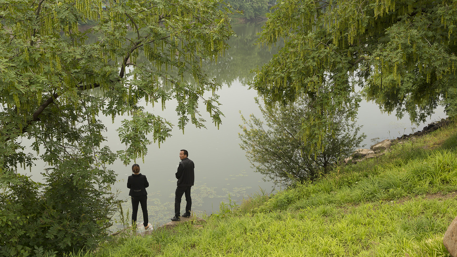
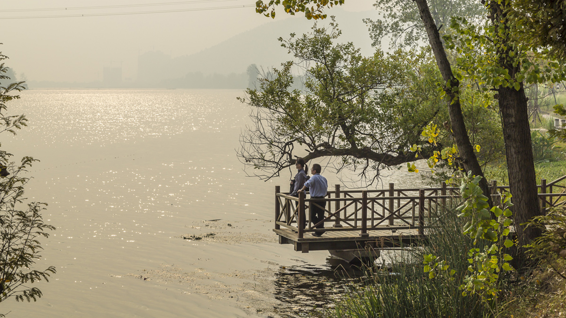
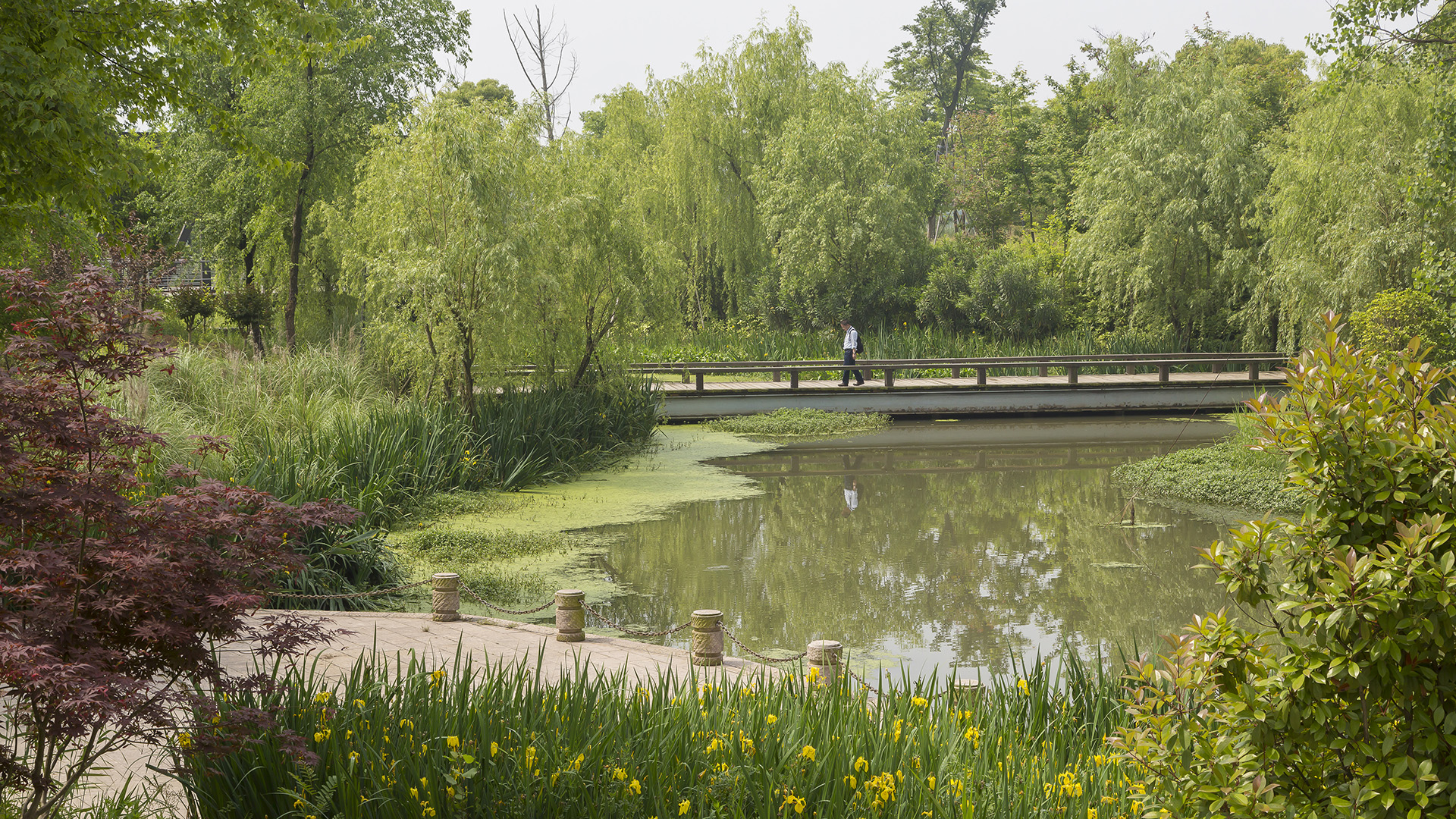
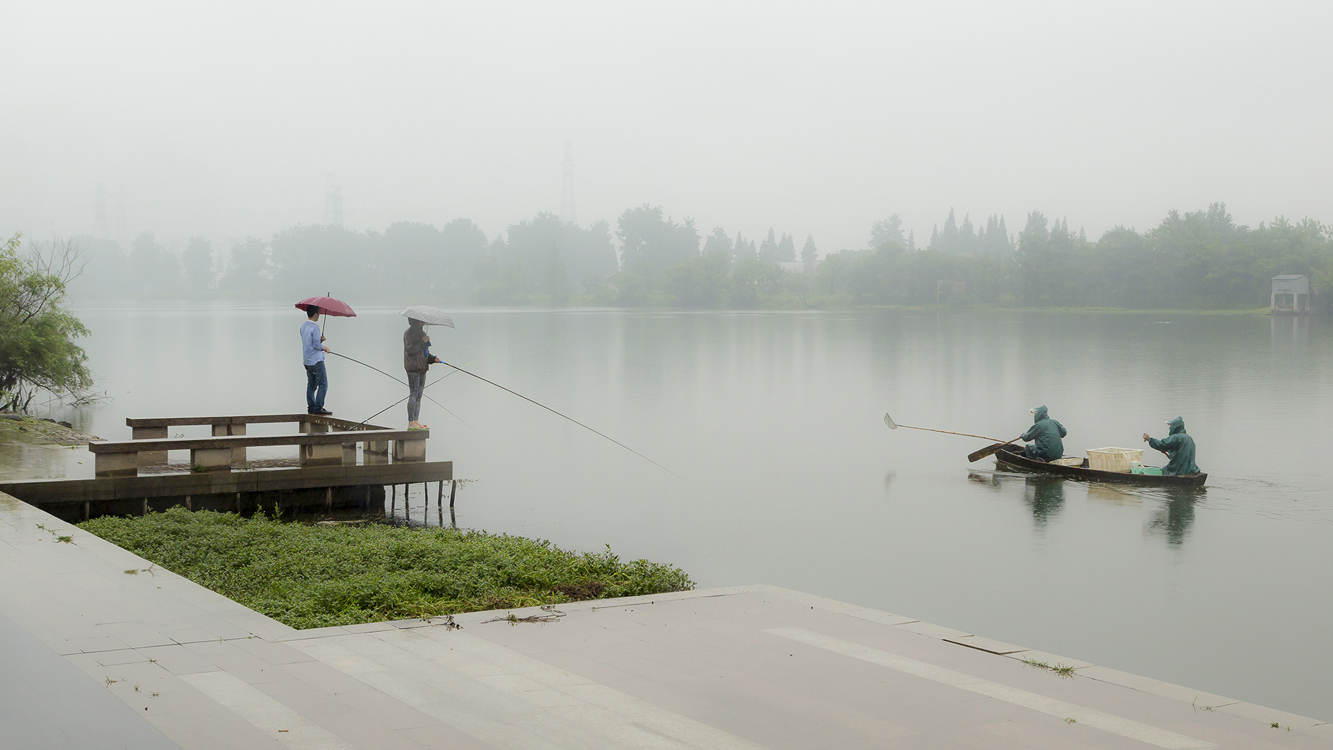
Seizing the area’s reputation for “one of the best mountain and water views in the world,” the natural framework along both sides of the Fuchun River inspires this plan integrating urban spaces with landscape to create a harmonious skyline. Fuyang flourishes with economic prosperity while honoring its vibrant cultural heritage.
The scope includes urban districts along both sides of Fuchun River. This newly modern city has experienced a significant transformation accompanied by rapid commercial and economic development. The famous painting by local artist, Huang Gongwang, “Mountain Life in Fuchun,” displays rolling mountains, verdant forests, rippling river, and spring clouds over the island, as well as the poetic layout of villages within this mountain/water landscape. Using it as inspiration, we derived four mountain/water development principles to control the height, density, and location of urban development as well as to develop preservation and utilization strategies for landscape resources.
Fort Wayne Riverfront
As a city that was built and thrived because of its location as a crossroads between wilderness and city, farm and market, the realities of infrastructure both natural and man-made are at the heart of Fort Wayne’s history. We consider waterways as an integral part of open spaces of the City, forming a series of infrastructural systems that affect the dynamics ...
St Johns Riverfront Design Incentive Strategy
As part of a larger effort to establish its downtown as a center for business and culture during a period of unprecedented growth, the City of Jacksonville was in need of a design and investment strategy for its underused waterfront along both banks of the St. Johns River. The design team’s approach entails both a large-scale and a node-based strategy, identif...
Shekou Promenade
After China reached out to the rest of the world through its open-door policy, Shekou (part of the Shenzhen Special Economic Zone) became an important gateway for foreigners to discover the mainland. Its urban public realm, however, suffered from rapid urbanization and lacked attractive parks and facilities for the burgeoning population. With an increased awar...
Changsha Baxizhou Island
Over many decades, public agencies in China have sought to solve growing flooding issues in a defensive way: fortifying and hardening river edges, raising levee heights, and ultimately separating the people from historical connections to the water. With an understanding of river flow processes and volumes and of wetland and native forest ecology, this separati...


