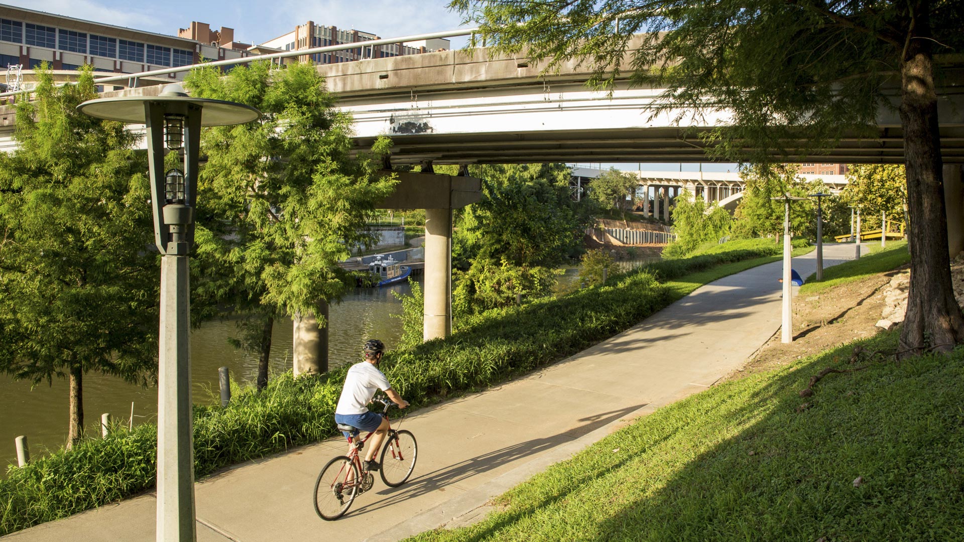
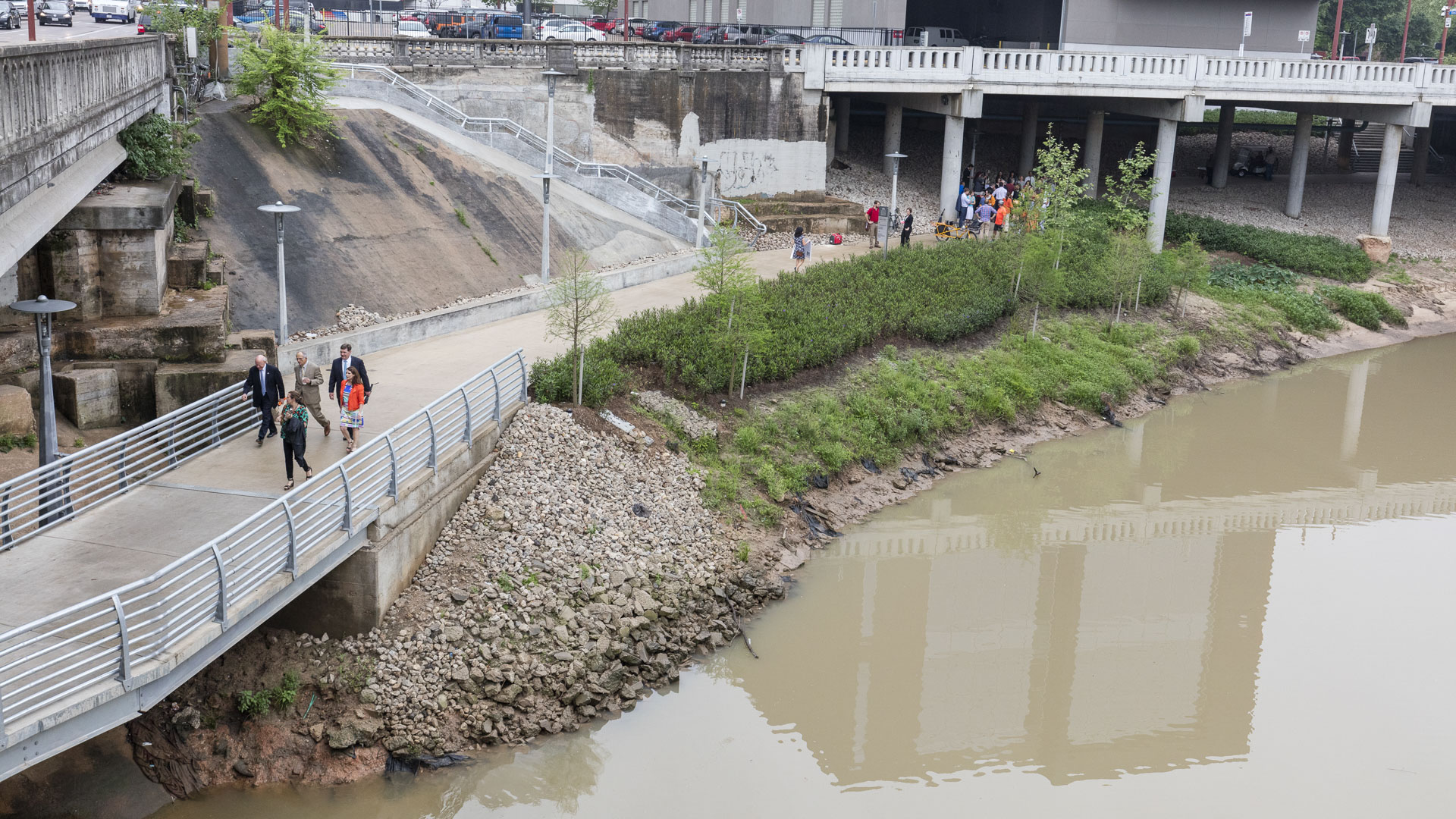
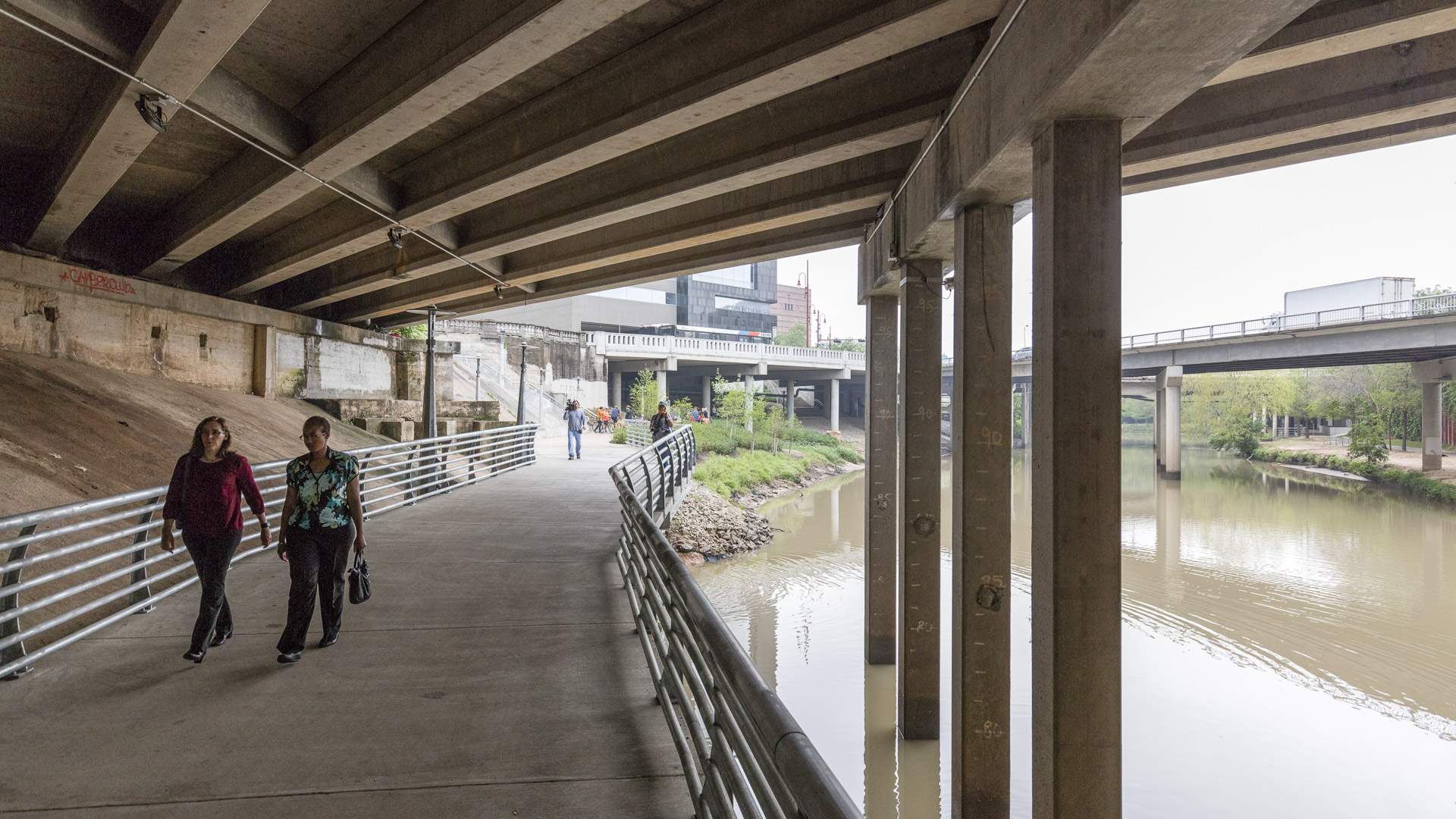
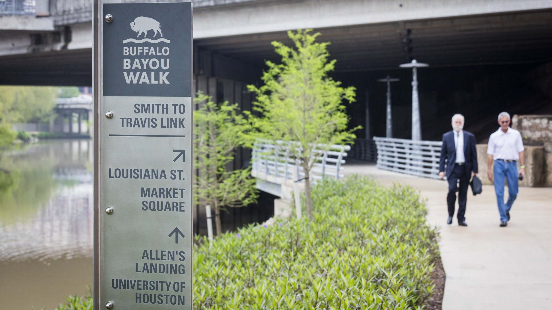
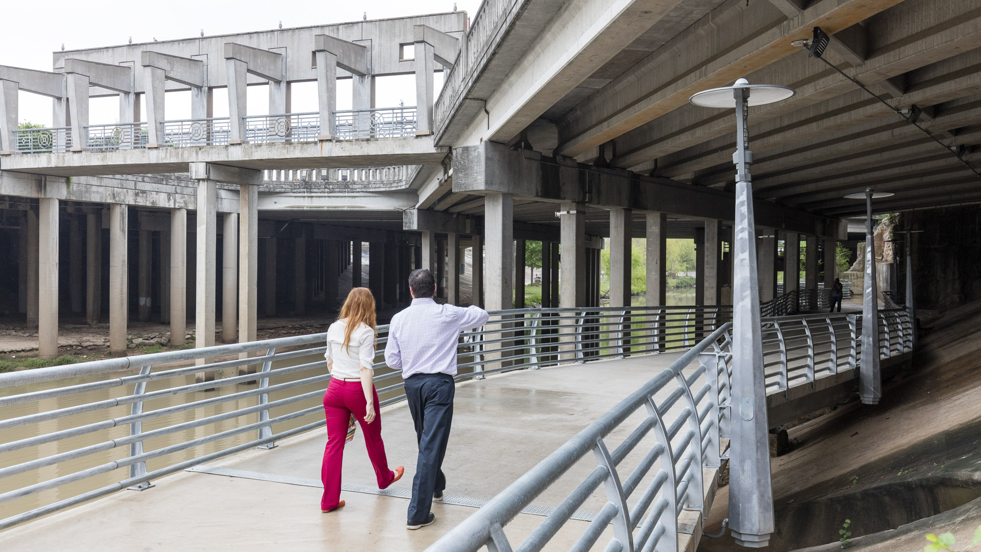
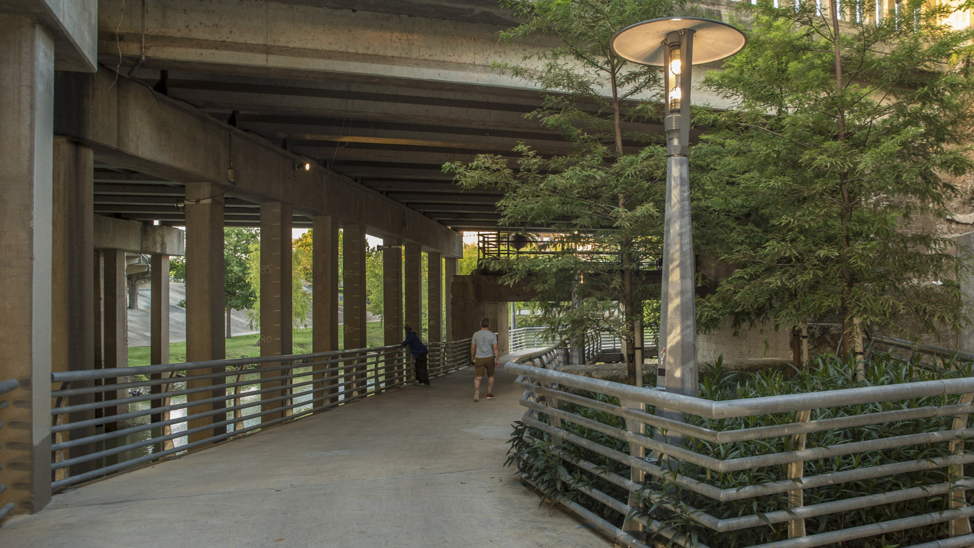
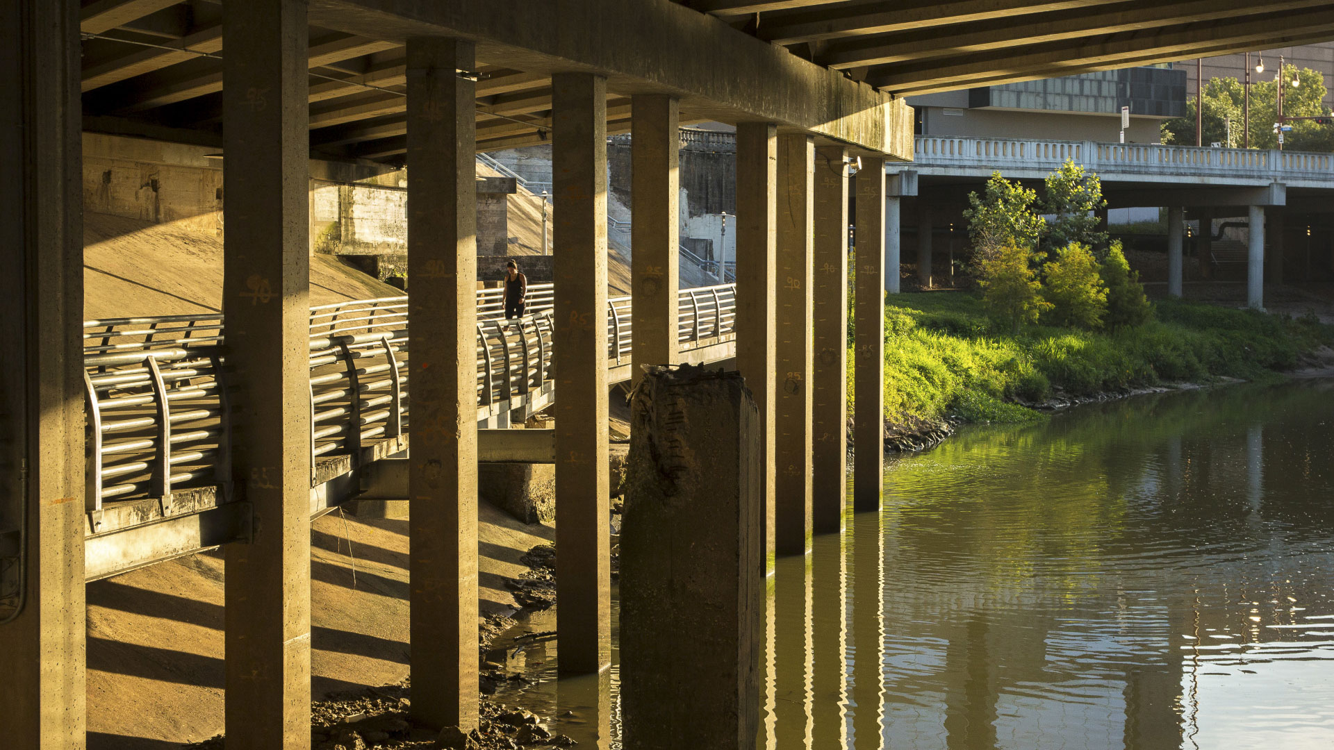
This effort in Downtown Houston extends the Buffalo Bayou trail system eastward with the Smith to Travis Trail, connecting two historically significant sites: Sesquicentennial Park and Allen’s Landing, where the city was founded. It is a technically challenging segment located twenty feet below street level that traverses under multiple roadway bridges crossing the bayou. The 1,300-foot-long trail is supported by helical piles along its route, and over 580 linear feet was designed as a concrete deck with a structural steel support attaching to existing bridge columns and historical bridge abutments. The trail features the signature Buffalo Bayou light fixtures as a means of unifying the Buffalo Bayou trail system.
Bayou Greenways
As one of the largest U.S. cities, Houston’s sprawling, car-centric infrastructure is underpinned by a vast arterial system of over 2,500 miles of bayous—an untapped ecological feature that could redefine urban life.
Recognizing this potential, the Houston Parks Board worked alongside SWA to develop a visionary plan for nine central bayous as an i...
Sanshan Hillside Park
The Pearl River Delta has undergone a dramatic transformation over the past four decades, evolving from farmland to a global manufacturing and technology powerhouse. Amid the frenetic pulse of this sprawling megalopolis of 86 million people, Sanshan Hillside Park stands as a mountaintop oasis.
Envisioned as New Town’s Central Park, the design embr...
Xili Lake Greenway
Encircling one of Shenzhen’s four major reservoirs, Xili Lake Greenway is the third segment of the 200-kilometer Kunpeng Trail to be completed under the city’s Mountain-Sea-City corridor initiative. Navigating over 16 kilometers of diverse terrain across upland, densely forested, and urban landscapes, the trail connects Xili Science and Education City, 18 tech...
Katy Trail
Katy Trail represents a remarkable resource for the residents of the Dallas Fort Worth region. This project enlivens and makes accessible right-of-way established by the storied, but later abandoned, Missouri-Kansas-Texas (better known as the “Katy”) line, and serves as a unifying element for the surrounding neighborhoods. Katy Trail provides appro...


