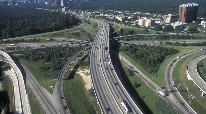
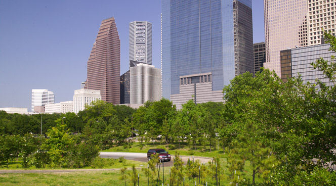
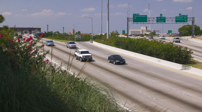
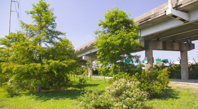
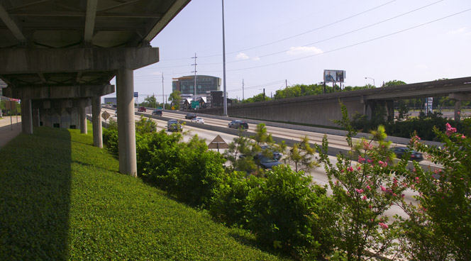
The Green Ribbon establishes strategies for corridor aesthetics and landscape enhancements along Texas highways surrounding Houston. This plan addresses existing infrastructure and future expansion needs of the growing urban area.
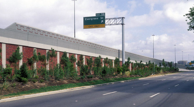
The project focuses on intensive landscape plantings and architectural treatments, improving aesthetics while addressing air quality and stormwater management concerns. The framework allows for large-scale improvements across a regional transect, accommodating local variation while maintaining cohesive standards.
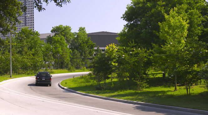
A key achievement is the planting of over 2 million trees, enhancing the urban canopy. The plan’s flexibility enables local sub-districts to implement further enhancements through funding agreements with partners. The master plan serves as a living document, providing TxDOT with a foundation to incorporate evolving standards for Houston’s transportation infrastructure needs.
Envision Willowick
The Cities of Garden Grove and Santa Ana are developing a “vision” for redevelopment of the Willowick Golf Course site. This process explored conceptual land use options that are formed by community and stakeholder collaboration and input. The Visioning is intended to be used to guide the preparation of development plans for Willowick. The visioning...
The Landscapes of Wuhai
The Inner Mongolian city of Wuhai is transforming from focusing on coal mining as its main industry to tourism. This very special place has many different, striking landscape types located within just 1666 sq. kilometers: sand dunes, mountains, and wetlands, plus adjacency to the Yellow River. Consequently, the city has decided to boost its tourism. Already pl...
Lewis Avenue
In a city renowned for fantasy, the design of Las Vegas’ Lewis Avenue celebrates the local desert landscape and affirms the street as part of a real-world working district. It was one of the first projects to be implemented in Mayor Oscar B. Goodman’s 2000 Las Vegas Downtown Centennial Plan, aimed at revitalizing the historic downtown core. The City asked SWA,...
Downtown Jebel Ali Landscape Master Plan, UAE
Downtown Jebel Ali is a new development located 35 kilometers southwest of Dubai, along an 11 km stretch of Sheikh Zayed Road. Representing the first phase of a major mixed-use development on the outskirts of Dubai, the project includes two high-rise office buildings and two high-rise apartment buildings with access to Sheik Zayed Road. Mixed-use buildings and...


