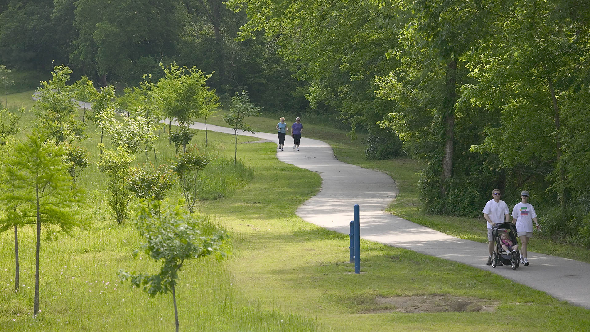
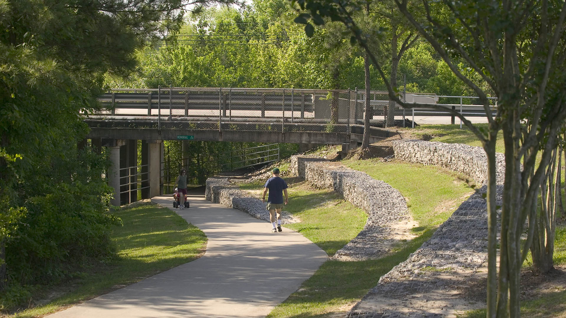
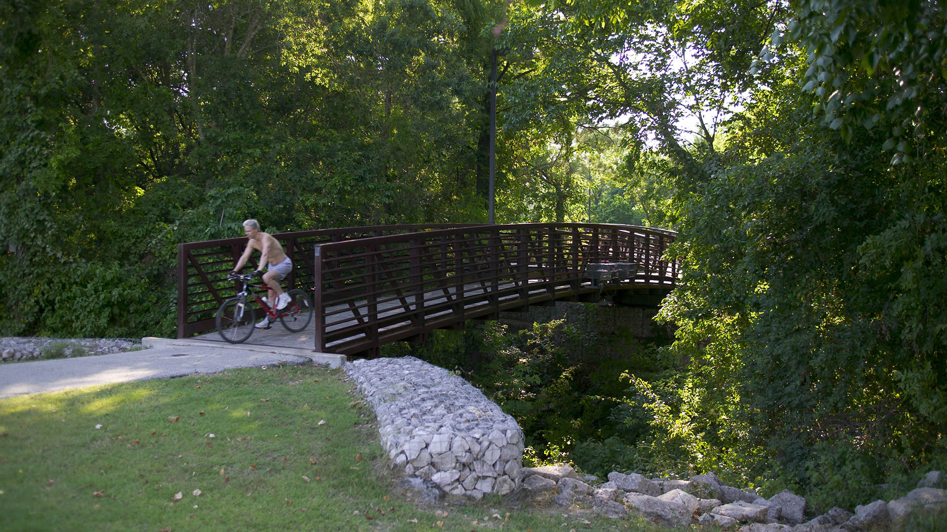
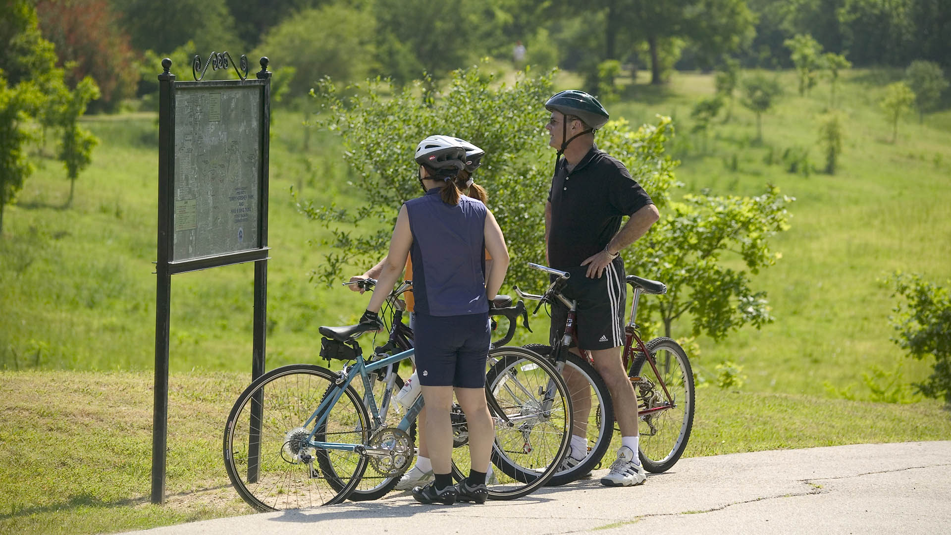
The park design includes a one-mile hike and bike trail system, a pedestrian underpass linking the park to an existing trail system, bridges over the creek, and automobile parking. Gabions were used as an environmentally friendly means of slope retention in a floodway and as a tool for creating places for people to enjoy the wooded environment. Sinuous banks and vegetation masses soften the edges and a trail meandering through stands of pine and oak replaces the former service road. Meadow areas for passive recreation are found in the center of the site while edges are allowed to grow up in shrubs and trees. The project required coordination and approval of Harris County Flood Control District, the U.S. Army Corps of Engineers, Houston Lighting and Power, the City of Houston, and three pipeline interests.
SIPG Harbor City Parks
This new riverfront development is located on the Yangtze River in the Baoshan District of Shanghai. This area boasts some of the highest shipping activity in the world. However, in recent years this single-function industrial zone has given way, allowing for waterfront parks to develop. Within this historically layered water front the Baoshan Park and Open Sp...
Ricardo Lara Park
Ricardo Lara Park is a vibrant city park and a case study in landscape infrastructure. It demonstrates how a small investment and creative thinking about landscape can transform the very infrastructure that has long divided and isolated a community into an amenity that unites it, offering much-needed environmental and recreational benefits.
Here, more ...
Haden Park
Tucked into a corner of Houston’s Spring Branch district, Haden Park has been reimagined as a shaded, amenity-rich landscape shaped by over a decade of community input. The transformation of the 12-acre site, long overlooked despite its central location, unifies the fragmented layout into a connected civic space, introducing a forest-themed play area, a dog pa...
Hermann Park
Hermann Park is one of Houston’s great civic resources containing a significant urban forest and many public venues. It is the flagship of the Houston Park system, serving the recreation needs of the City’s diverse population of some four million and welcoming over six million visitors a year. However, like many urban parks in America, much of Hermann Park has...


