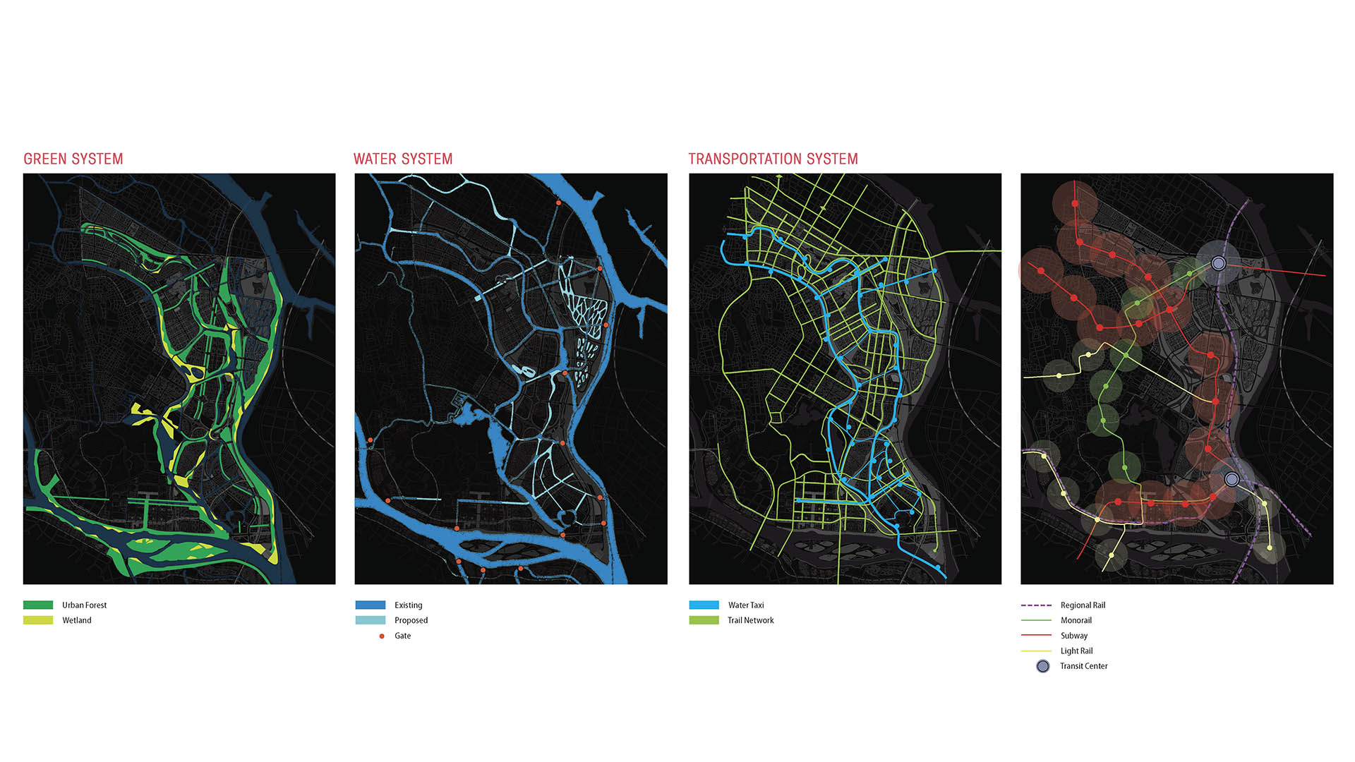
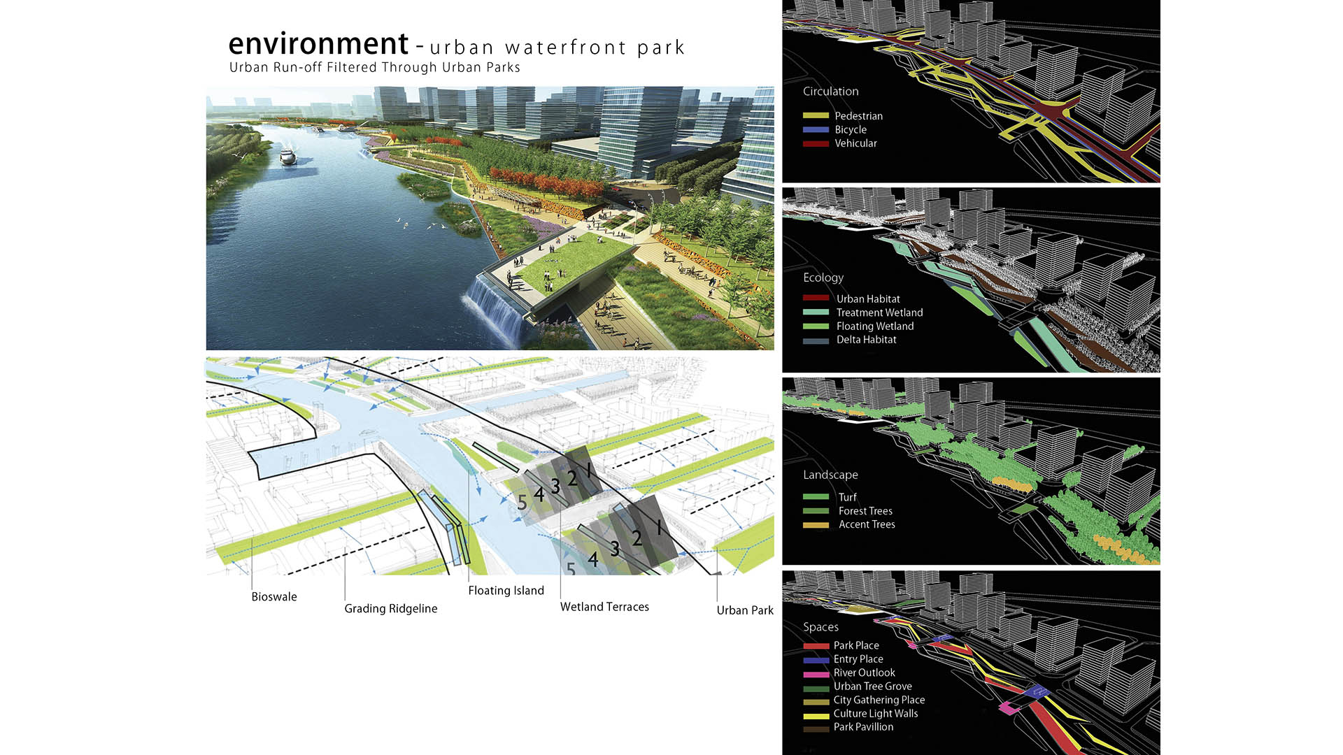
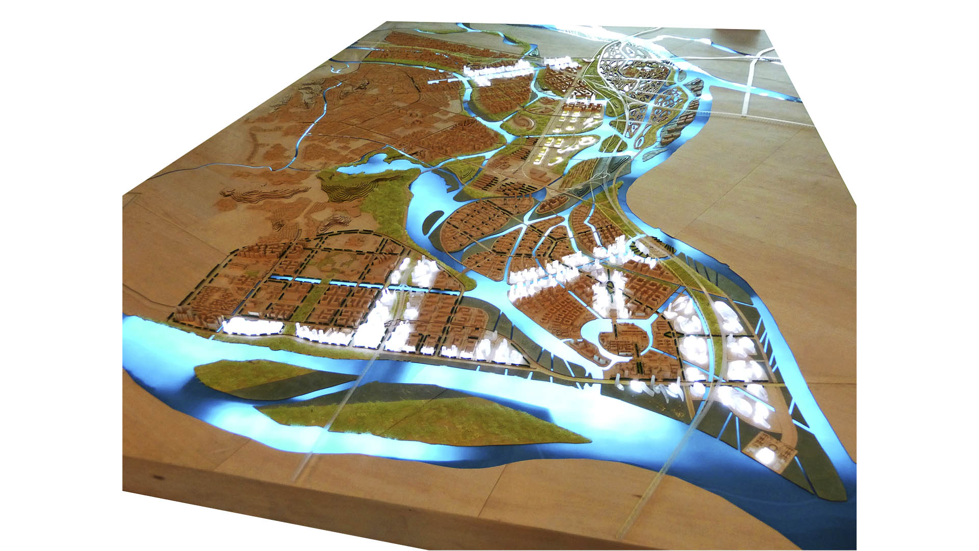
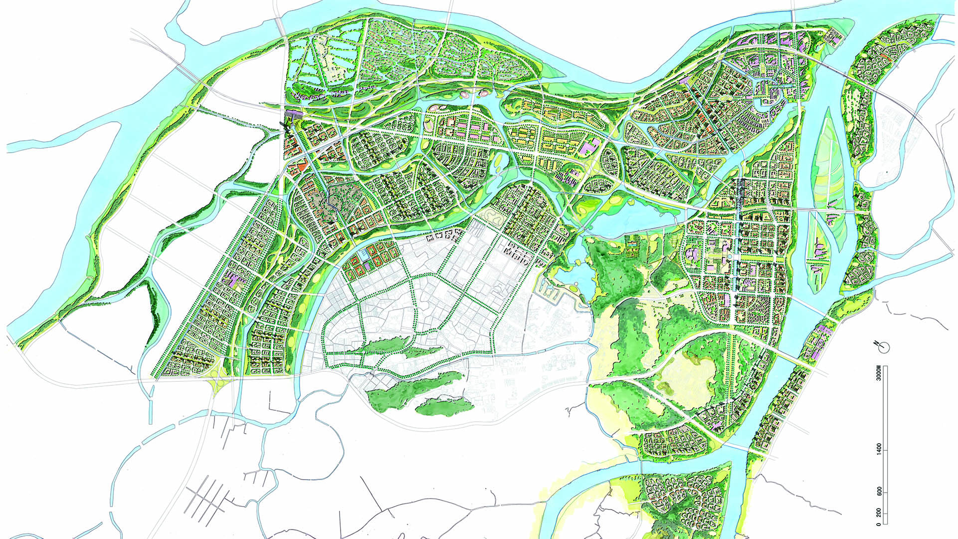
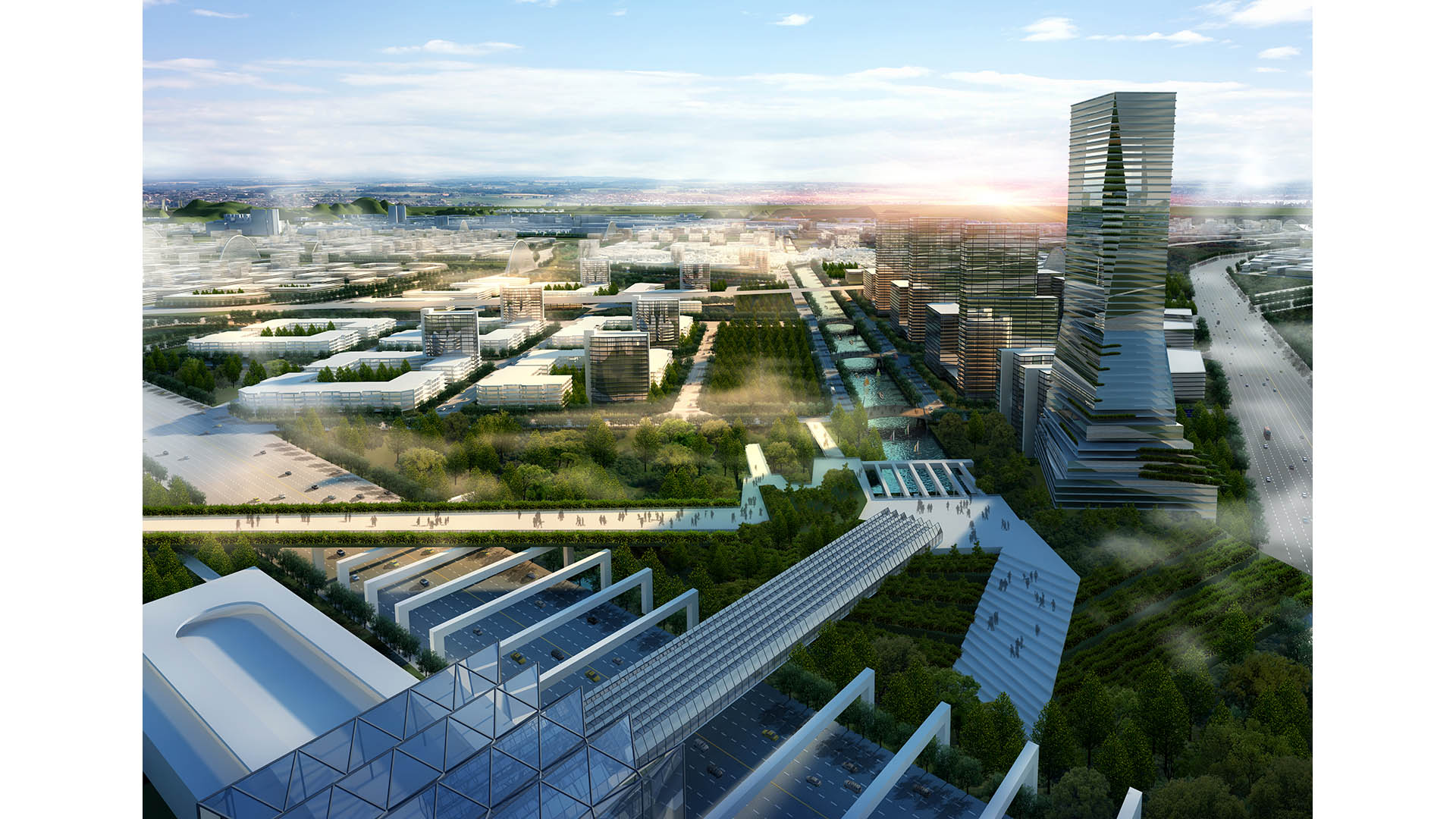
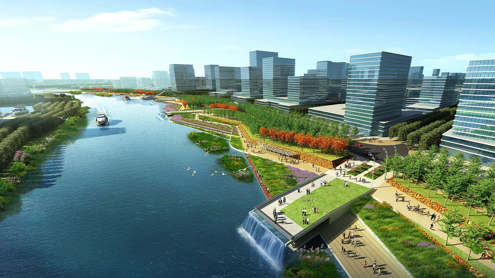
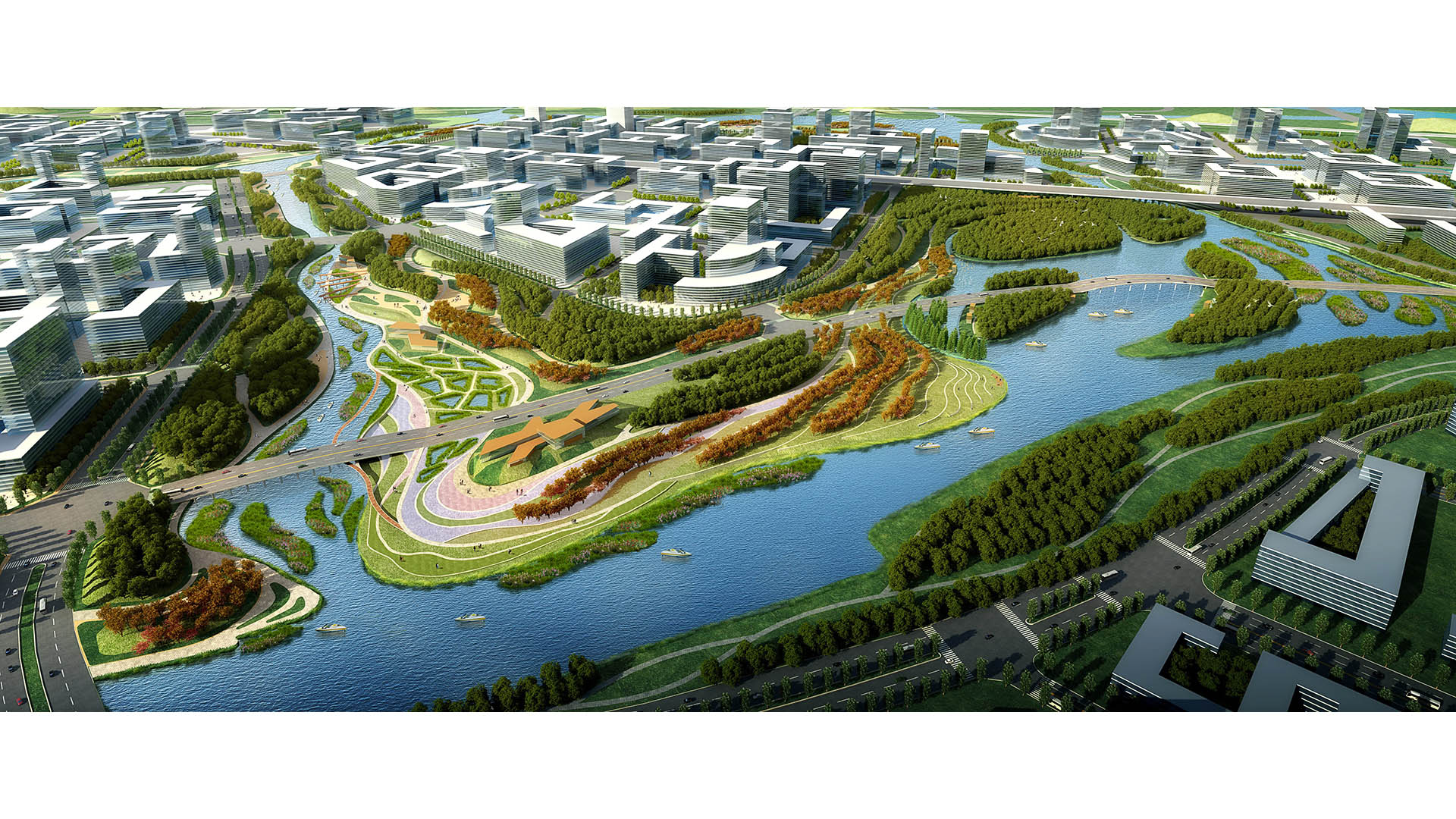
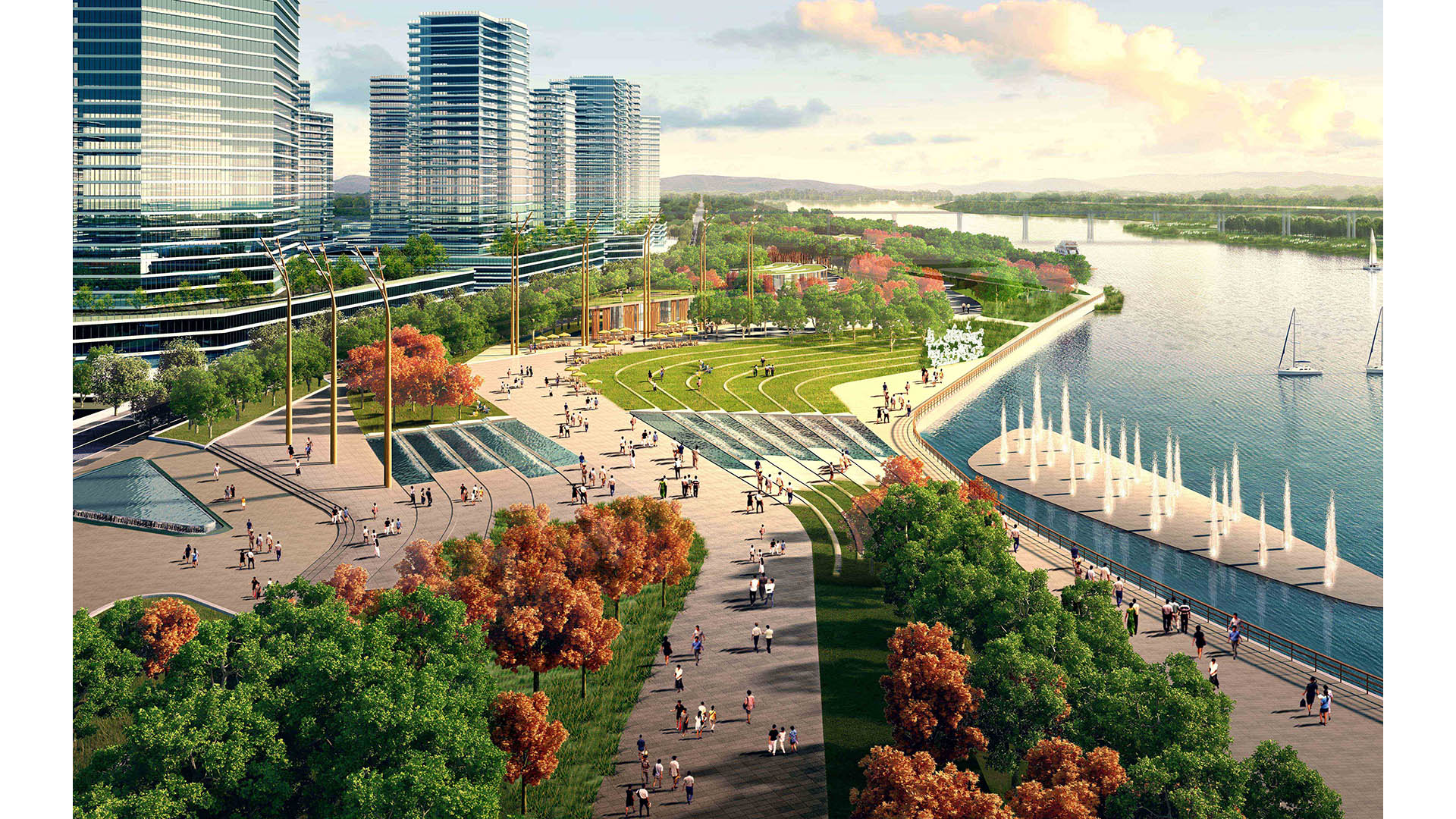
The Pearl River Delta is the second largest bird migration delta and estuary in Southeast Asia. Preserving and restoring bird and wildlife corridors while also providing regional connectivity, transportation, and development options is at the pinnacle of today’s development challenges. In the Shunde New City Plan, urban development and nature are integrated to form a unique and comprehensive system beneficial to both people and the natural environment. The Shunde New City Plan weaves a constructed wetland delta system into a multi-modal, pedestrian-oriented city. At 72 square kilometers, the plan utilizes the form of a wetland delta to break the city fabric into multiple nodes, with water as the connective tissue between development centers. Between water corridors, the plan contains multiple islands as pedestrian-scaled, mixed-use villages linked by an environmental infrastructure containing greenbelts, water corridors, wetlands, and trails.
A layered transportation network and multiple urban centers serve to create connected yet self-contained units of residential, retail, office, educational, and/or civic spaces. Two major stations consolidate regional rail, local monorail, water taxis, buses, and cars for the region. In addition, a comprehensive trail network parallels the greenbelts, and a water taxi system and a monorail network promote connectivity between the neighborhood centers. Throughout the project, human and environmental sustainability takes center stage. Fine-textured neighborhoods with compact blocks and small street cart-ways contribute to a human-scaled, walkable environment. The plan proposes compact blocks and a fine-scaled network of streets designed as human corridors, augmenting the pedestrian environment and allowing for a more delicate, environmentally-sensitive approach to planning and development. The net effect is a greater number of smaller streets, collectively mitigating traffic while expanding circulation choice. This smaller-grained fabric encourages walkability, reinforces a sense of place, and creates more development parcels and opportunity for architectural variation.
Nanchang Xiangnan Urban Infill
Situated in the capital city of Jiangxi Province, which is known for its rich cultural and ecological resources, the Nanchang Urban Infill project strives to weave two new districts into the historical heart of the city. To the west, a tower and mall create a modern icon for Nanchang. Here, the landscape reinforces the architectural design through a fluid, con...
Hennepin Avenue
Hennepin Avenue is the oldest street in Downtown Minneapolis, and has gone through multiple transformations over time. The street is undergoing a major reconstruction, and SWA is leading the effort to enhance the character of Hennepin for years to come. The conceptual approach was developed through a robust public engagement process, and touches on the three m...
Buffalo Bayou Park
This thoroughly renovated, 160-acre public space deploys a vigorous agenda of urban ecological services and improved pedestrian accessibility, with two new bridges connecting surrounding neighborhoods. The design utilizes channel stabilization techniques, enhancing the bayou’s natural meanders and offering increased resiliency against floodwaters while preserv...
Dongguan Delta City
The Dongguan District is located at Binhai Bay in China’s Pearl River Delta, strategically situated between Shenzhen’s airport and the city of Guangzhou. An international competition asked for ways to capitalize on the heavy flow of traffic between them while also addressing extreme environmental risks: the World Bank ranks the Pearl River Delta at the top of ...


