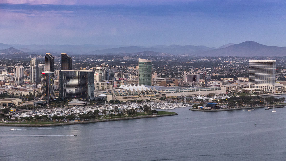
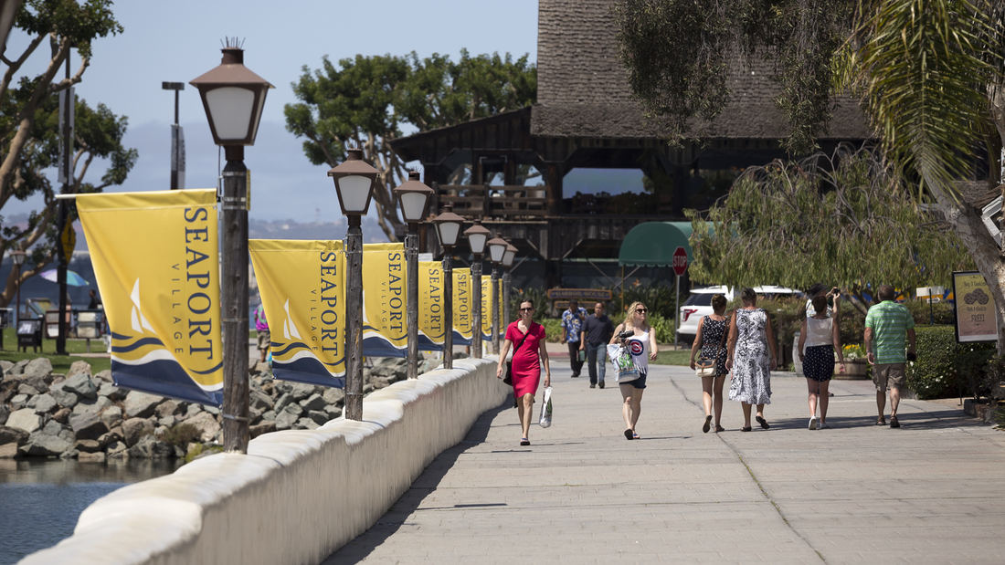
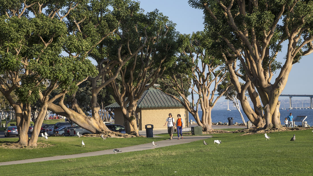
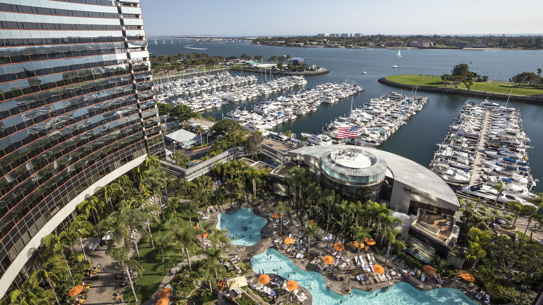
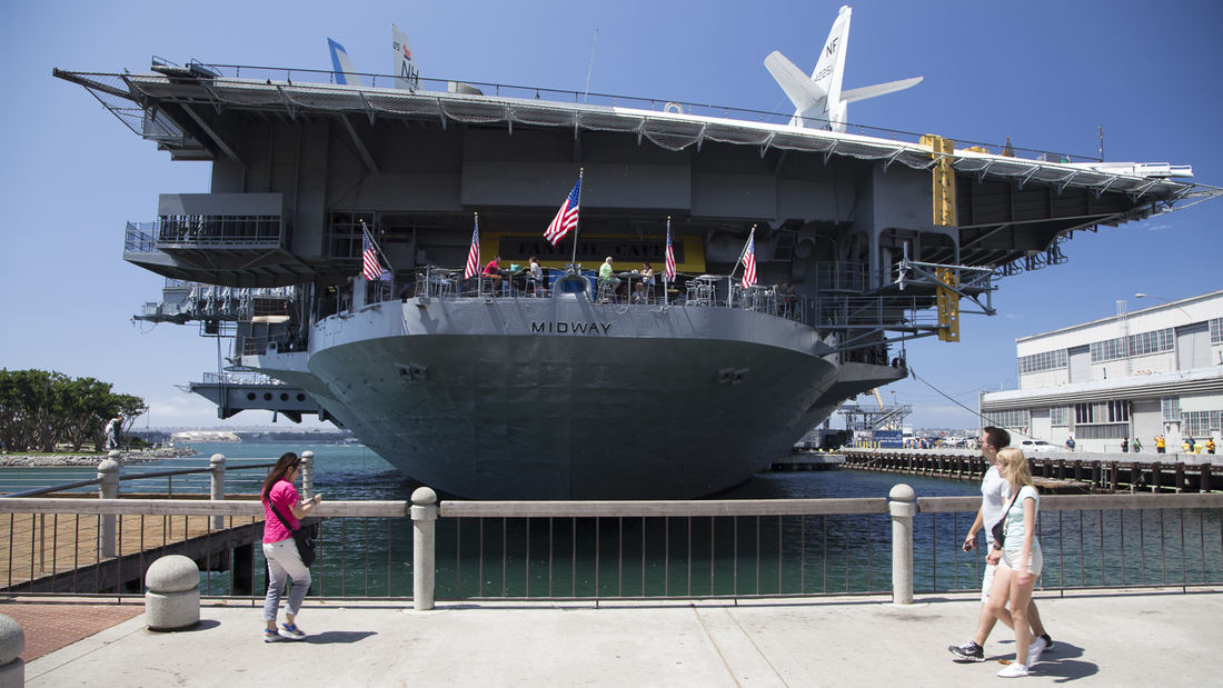
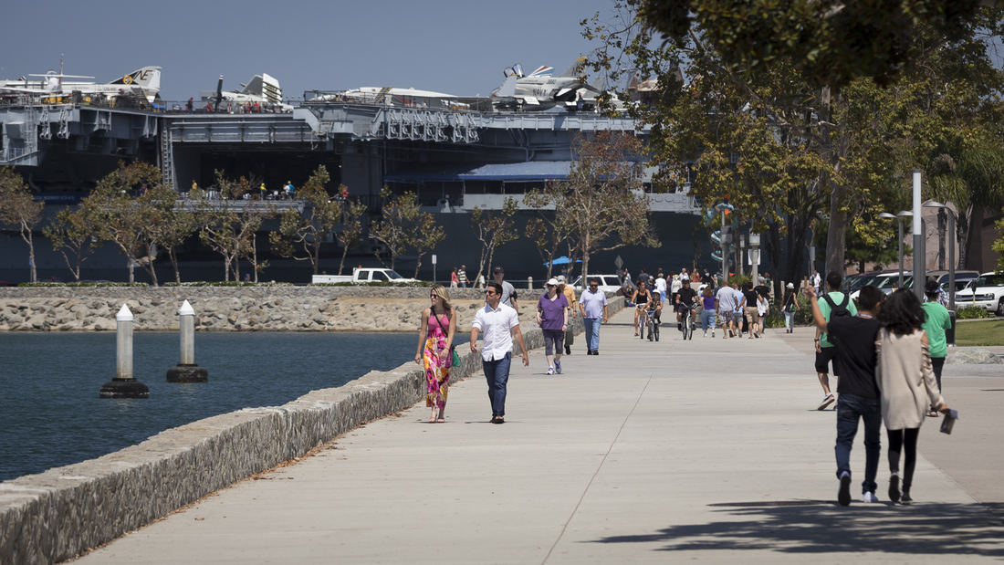
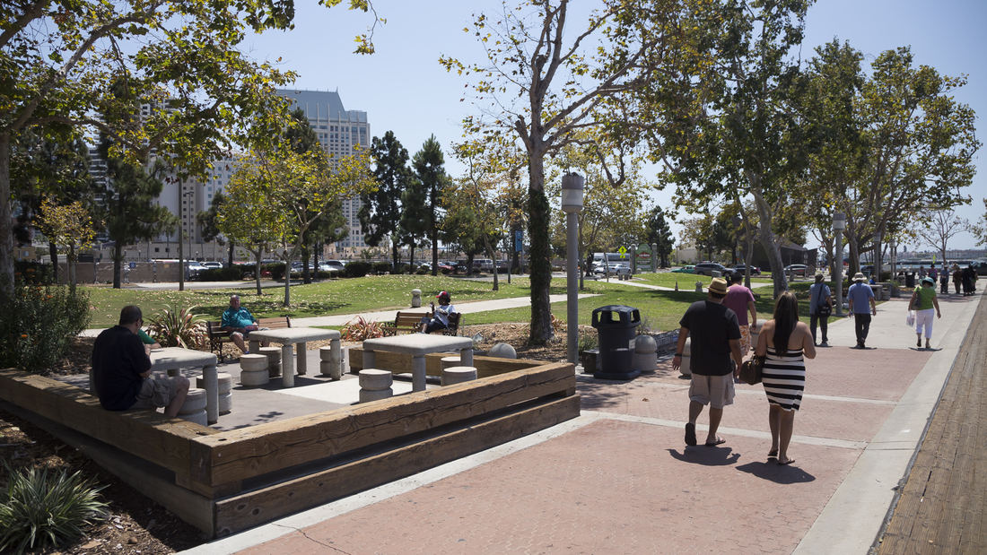
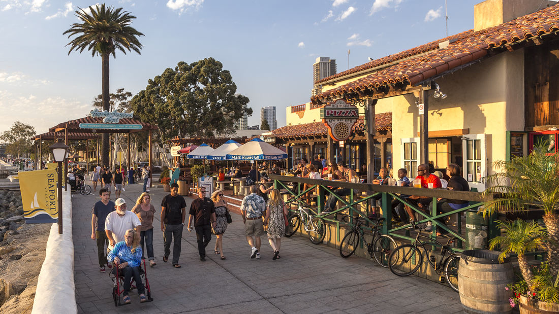
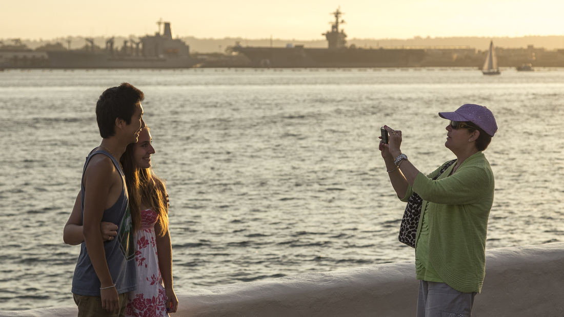
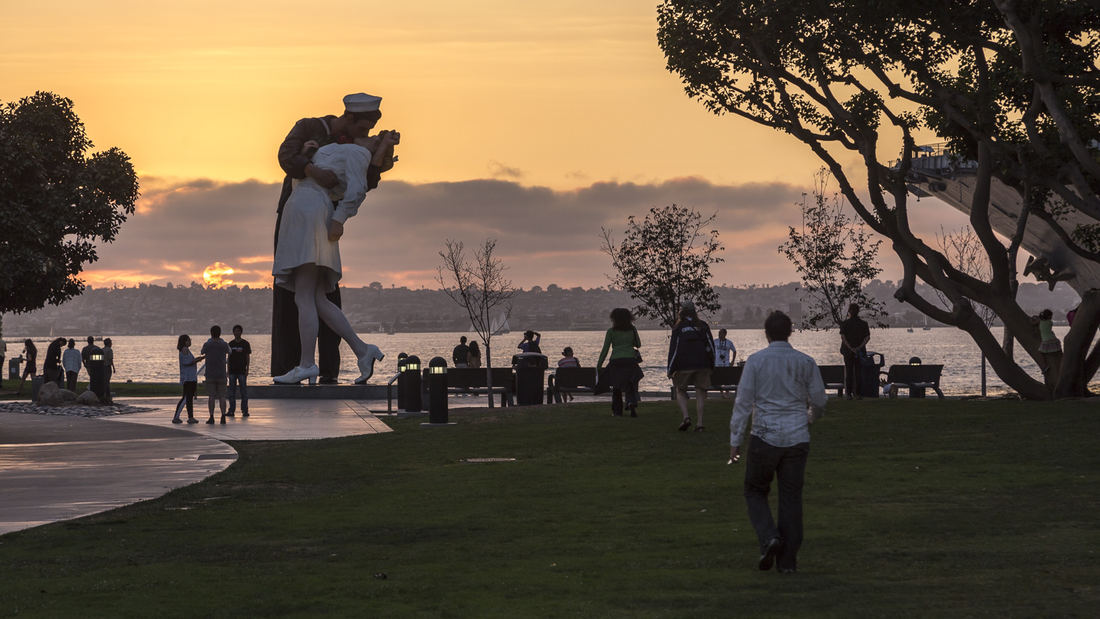
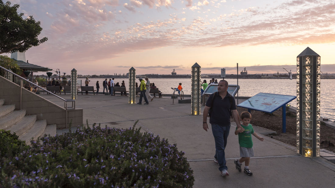
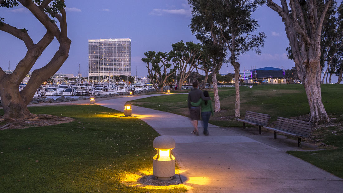
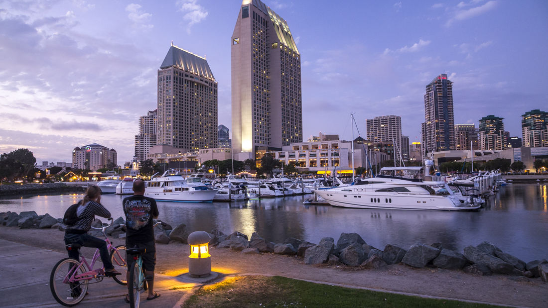
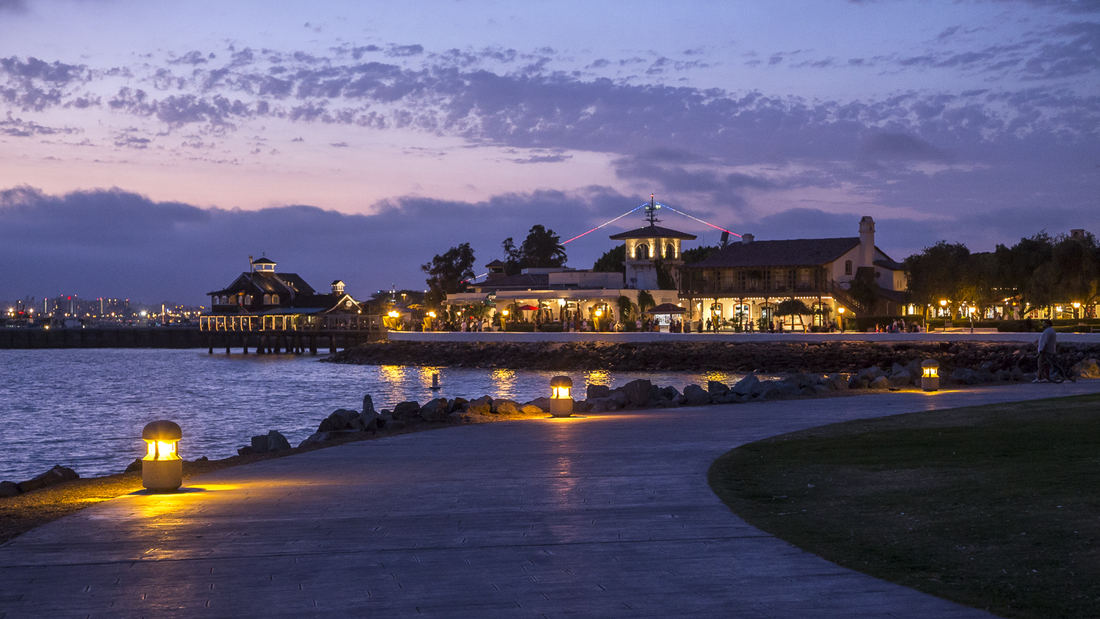
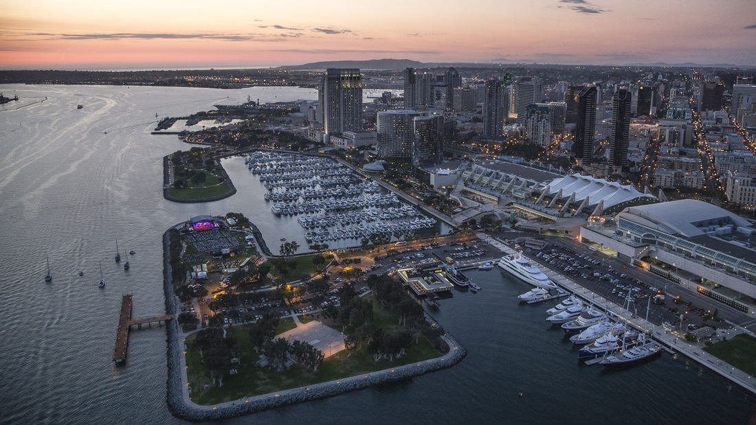
The redevelopment plan for the waterfront and port facilities adjacent to downtown San Diego included translating community and economic requirements into a specific planning program. Emphasis was placed on urban design, circulation and parking, landscaping, environmental planning, and engineering considerations with a set of comprehensive implementation guidelines. The plan introduced a continuous greenway and boardwalk traversing the waterfront. SWA led an interdisciplinary team through the following: · An intensive environmental review · A community workshop process · Development of a space utilization program with the economic consultant · Coordination with local agencies, U.S. Navy, state agencies, the new California Coastal Commission, and community groups · Development of transportation alternatives · Development of land and space use alternatives · Preparations of a phased Master Plan, including detailed shoreline plans · Preparation of an Environmental Impact Report Initial Study · Preparation of Development Guidelines · Audiovisual presentation for the approval process Perhaps most importantly, the designers were responsible for formulating and directing a comprehensive, forthright approach to the planning process. They directed a series of public workshops that determined goals and evaluated alternatives. A complete environmental analysis and Environmental Impact Report addressed additional concerns. Finally, the plan mitigated much of the concern of the Coastal Commission, state agencies and citizen groups by conceptualizing and communicating a vision for the waterfront that was, as stated in the plan, “in human terms, viable and contemporary in the dynamic San Diego metropolitan environment . . . The Embarcadero is the place where San Diego meets the Sea”. The plan, its guidelines and the subsequent implementation over three decades have given the citizens of San Diego and through tourism, the state and country, access to the magnificent shoreline of San Diego Bay for public enjoyment, economic renewal and community revitalization. The citizens of this culturally diverse region have been able to celebrate the water’s edge as a place to visit, enjoy and experience their family and community life. The plan set the course for this and future efforts of the Port to re-use their lands and reclaim their franchise for the people of California.
Fuyang Riverfront
Seizing the area’s reputation for “one of the best mountain and water views in the world,” the natural framework along both sides of the Fuchun River inspires this plan integrating urban spaces with landscape to create a harmonious skyline. Fuyang flourishes with economic prosperity while honoring its vibrant cultural heritage.
The scope includes urban d...
Dongguan Delta City
The Dongguan District is located at Binhai Bay in China’s Pearl River Delta, strategically situated between Shenzhen’s airport and the city of Guangzhou. An international competition asked for ways to capitalize on the heavy flow of traffic between them while also addressing extreme environmental risks: the World Bank ranks the Pearl River Delta at the top of ...
Downtown Cairo Planning & Revitalization
The Khedive’s Cairo is often referred to as the heart of modern Cairo. Laid out by Ismail Pacha in the late 19th century, the Khedive’s Cairo was a physical manifestation of the governmental and societal evolution that the Khedive envisioned for Egypt. Like many American and European cities, time and intense pressures of popul...
Shenzhen Bay
Situated just across the bay from Hong Kong, the city of Shenzhen has transformed from a small fishing town of 30,000 to a booming city of over 10 million people in 40 years – and has grown over 200 times its original size since 1980. Along the way, the character of Shenzhen’s bayfront was radically altered. Over 65 km2 of marsh and shallow bay were filled to ...


