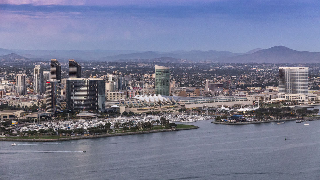
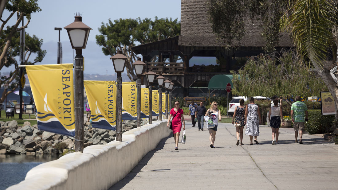
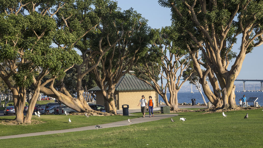
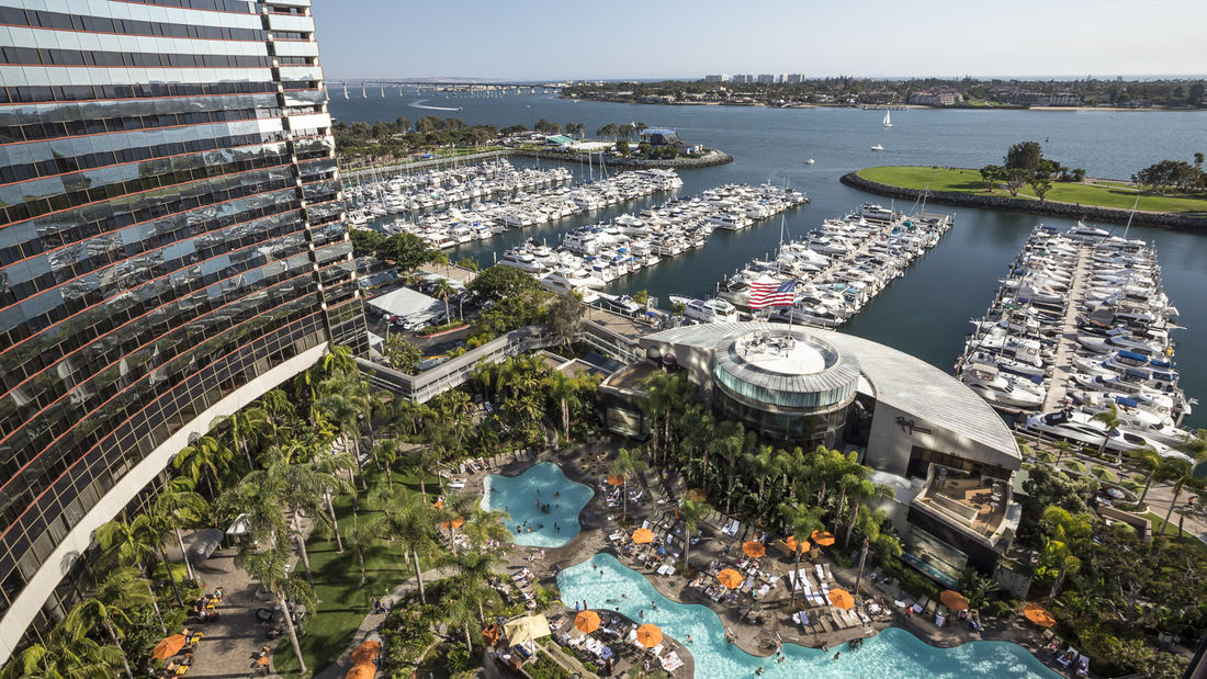
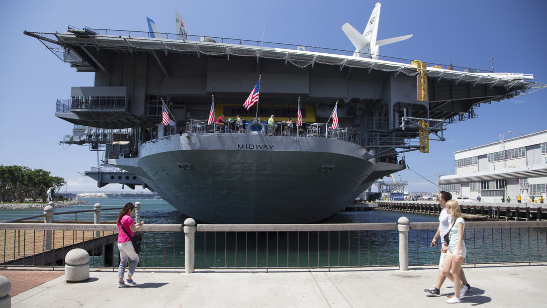
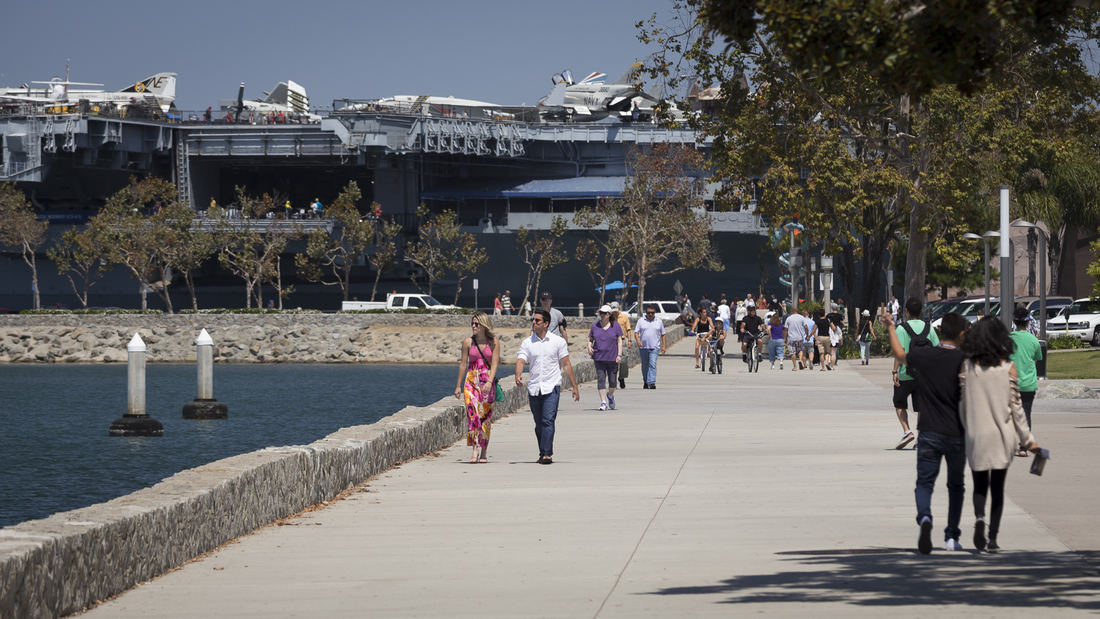
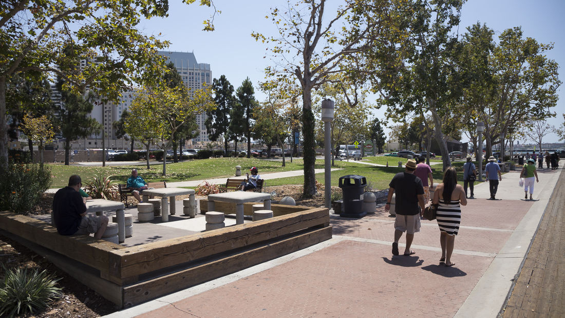
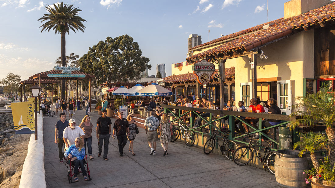
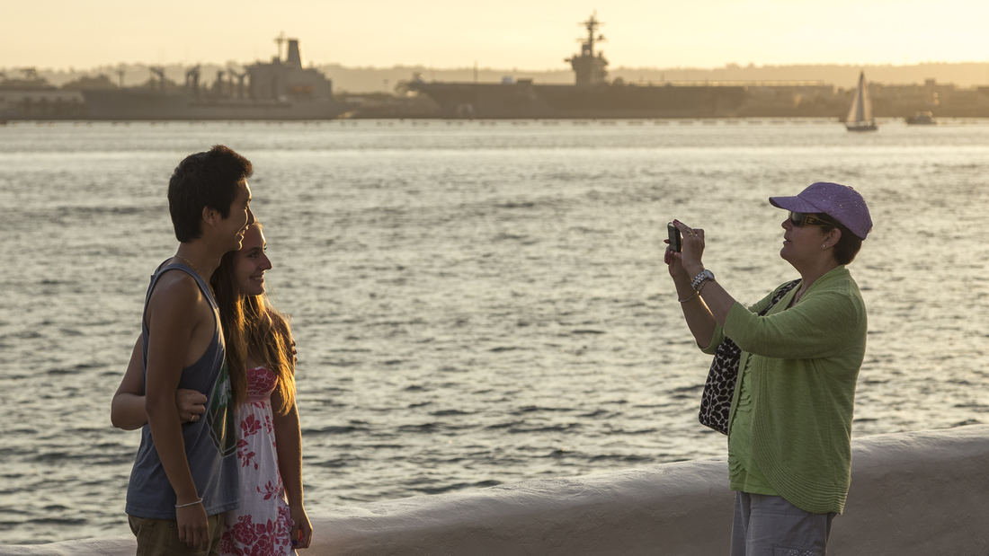
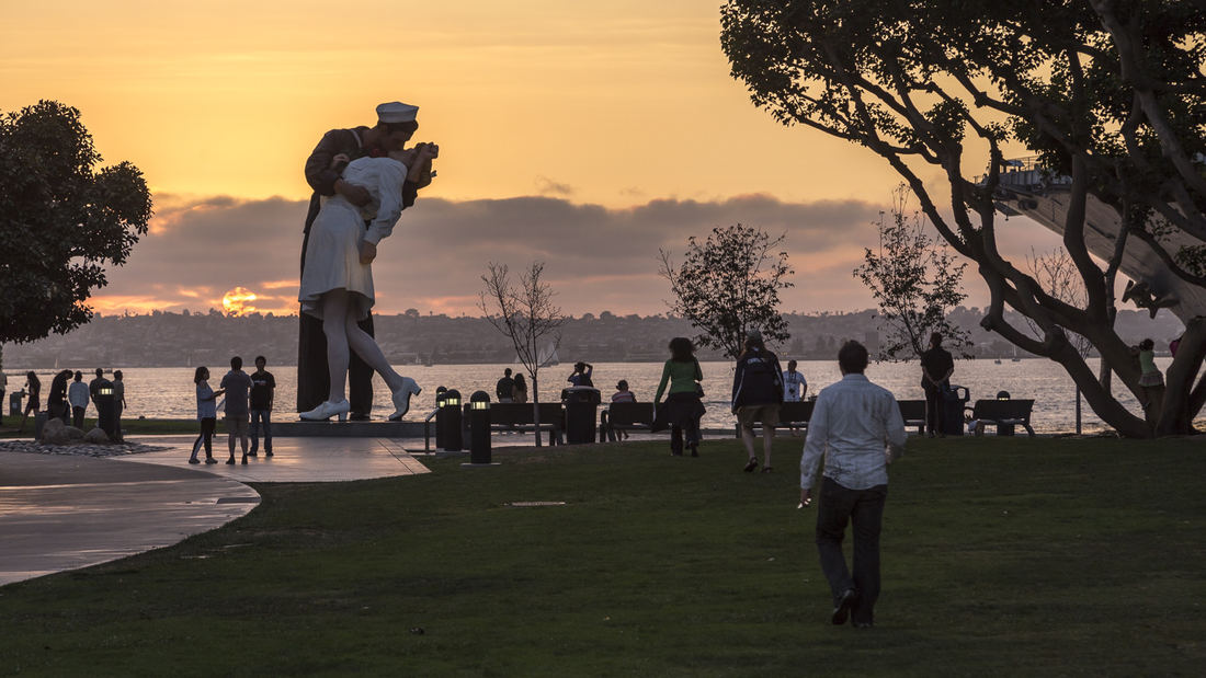
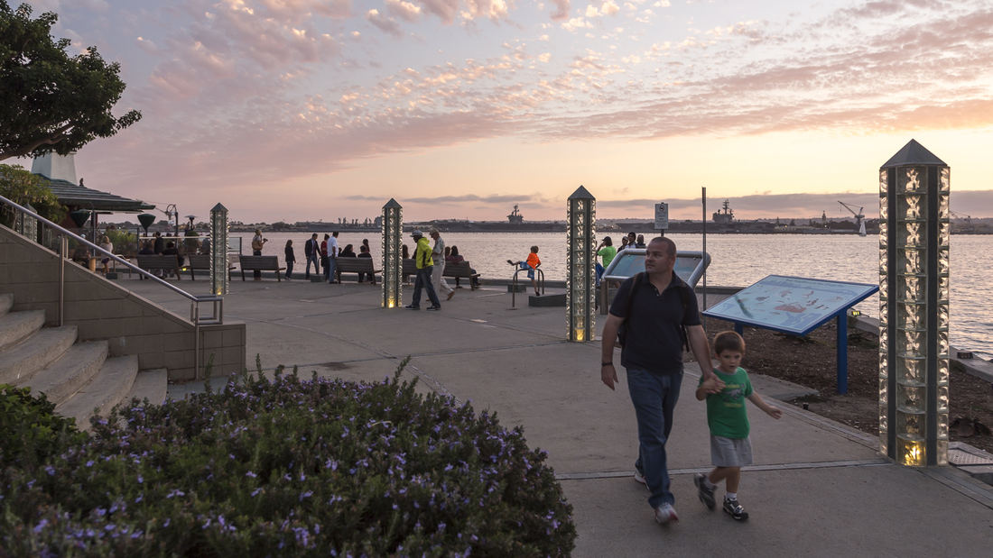
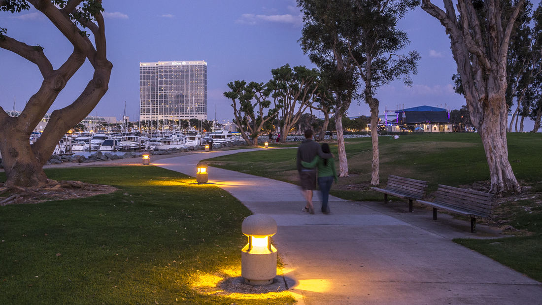
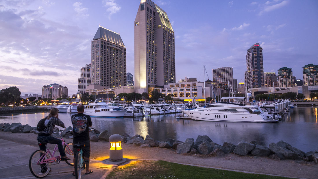
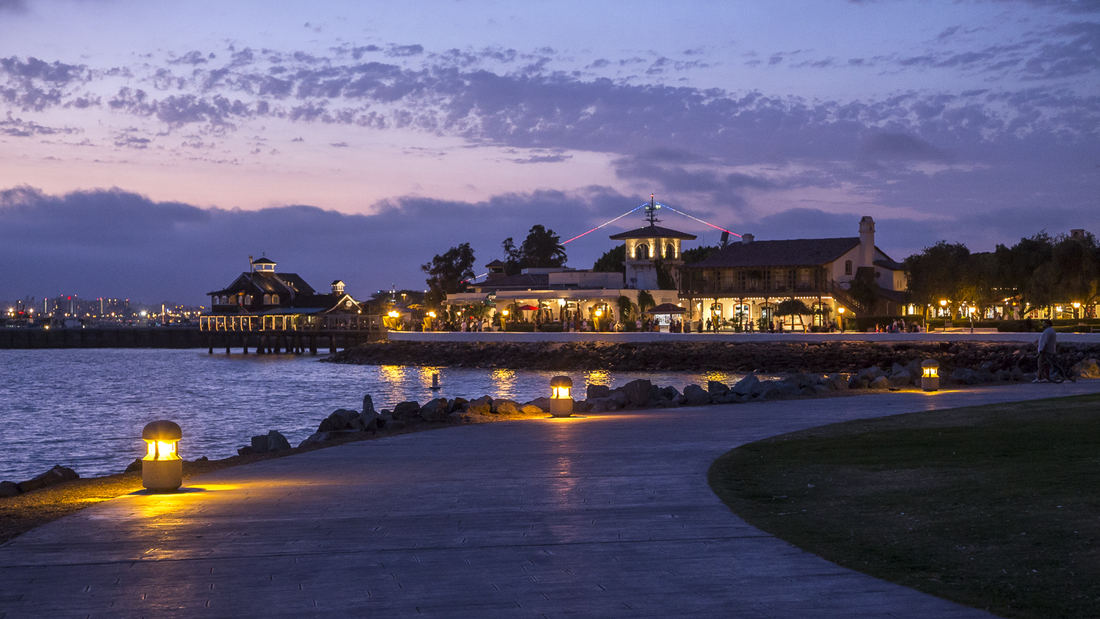
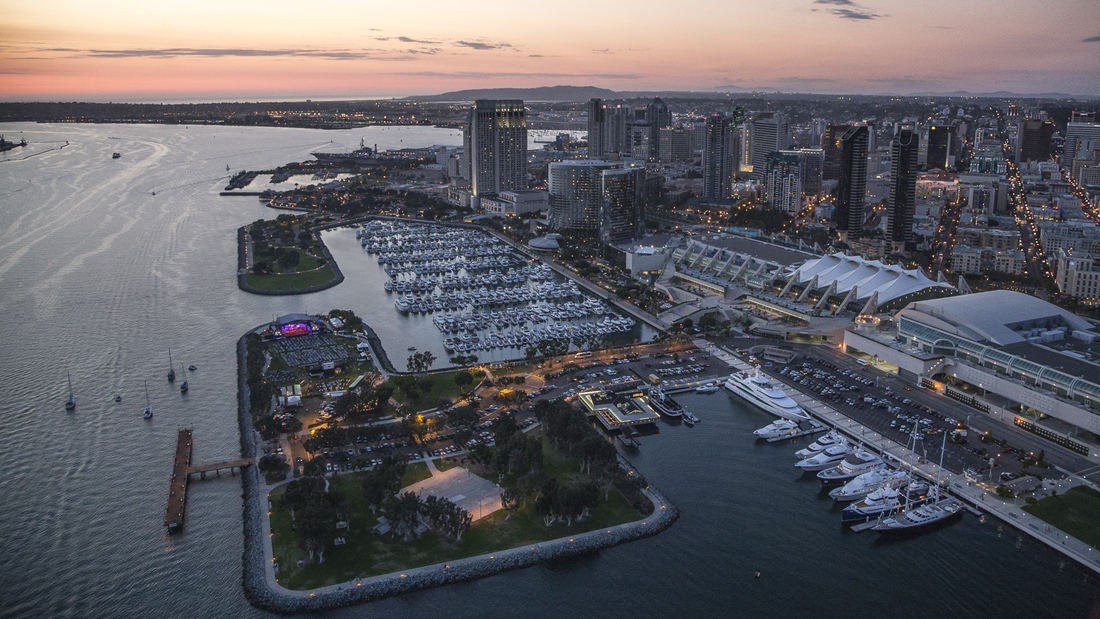
The redevelopment plan for the waterfront and port facilities adjacent to downtown San Diego included translating community and economic requirements into a specific planning program. Emphasis was placed on urban design, circulation and parking, landscaping, environmental planning, and engineering considerations with a set of comprehensive implementation guidelines. The plan introduced a continuous greenway and boardwalk traversing the waterfront. SWA led an interdisciplinary team through the following: · An intensive environmental review · A community workshop process · Development of a space utilization program with the economic consultant · Coordination with local agencies, U.S. Navy, state agencies, the new California Coastal Commission, and community groups · Development of transportation alternatives · Development of land and space use alternatives · Preparations of a phased Master Plan, including detailed shoreline plans · Preparation of an Environmental Impact Report Initial Study · Preparation of Development Guidelines · Audiovisual presentation for the approval process Perhaps most importantly, the designers were responsible for formulating and directing a comprehensive, forthright approach to the planning process. They directed a series of public workshops that determined goals and evaluated alternatives. A complete environmental analysis and Environmental Impact Report addressed additional concerns. Finally, the plan mitigated much of the concern of the Coastal Commission, state agencies and citizen groups by conceptualizing and communicating a vision for the waterfront that was, as stated in the plan, “in human terms, viable and contemporary in the dynamic San Diego metropolitan environment . . . The Embarcadero is the place where San Diego meets the Sea”. The plan, its guidelines and the subsequent implementation over three decades have given the citizens of San Diego and through tourism, the state and country, access to the magnificent shoreline of San Diego Bay for public enjoyment, economic renewal and community revitalization. The citizens of this culturally diverse region have been able to celebrate the water’s edge as a place to visit, enjoy and experience their family and community life. The plan set the course for this and future efforts of the Port to re-use their lands and reclaim their franchise for the people of California.
Hangzhou Hubin
West Lake in Hangzhou, China, one of the world’s most romantic places and as familiar an icon as the Great Wall or the Forbidden City, has been designated by the United Nations as one of the World Cultural Heritage Sites. Seven hundred years later, the city that served ancient emperors as a capitol boasts a population of over three million and is still a...
Xinyang Suo River
SWA recently completed a master plan for a 36 km length of the Xingyang Suo River located in Xinyang, China. Located on a site at the confluence of an elaborate network of waterways, the River has served as a transportation system for the movement of goods, services and people between Xingyang, Beijing and the coastal cities to the Southeast. This has transfor...
OCT Bao’an Waterfront Cultural Park
Bao’an Waterfront Park is an essential amenity for future residents of Shenzhen’s rapidly expanding Qianhai area, and is also an important connection between the urban fabric and the ocean. The key landscape frameworks for the park are its riverine interpretation aspects and water’s edge programs. The “Eco River” will bring water experiences into the green spa...
Sava Promenada at the Belgrade Waterfront
This one-million-square-meter waterfront development, the single largest regeneration project in Serbia’s history, aims to create a world-class, sustainable destination for civic and cultural attractions, forging human and physical connections to the Sava River where none existed before. Located near the historic town center of Belgrade, the site’s...


