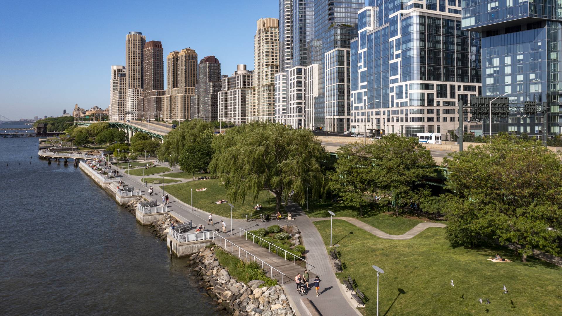
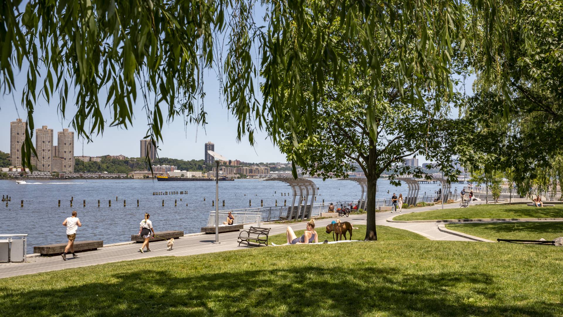
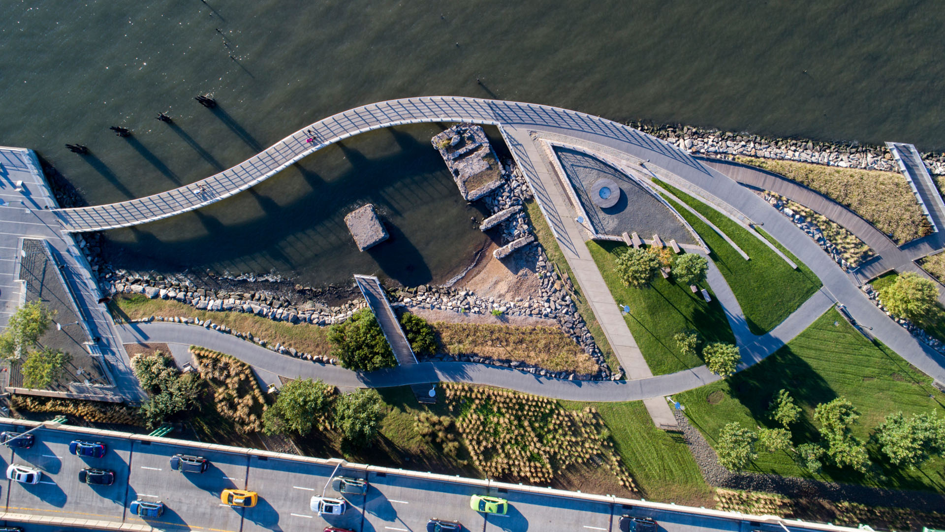
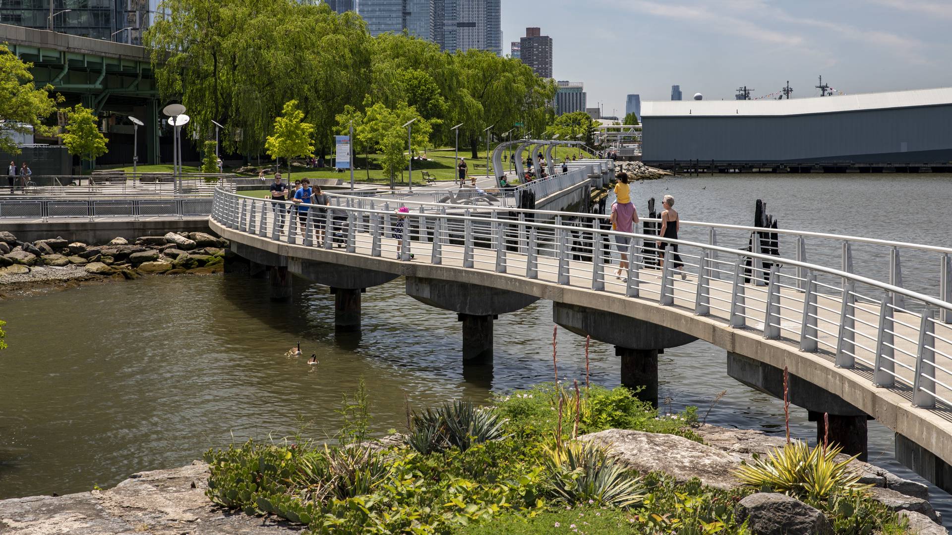
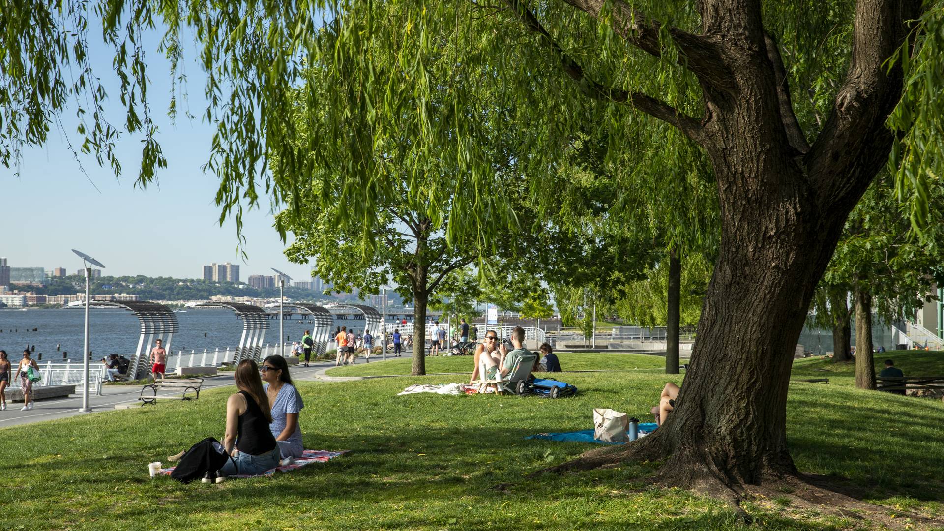
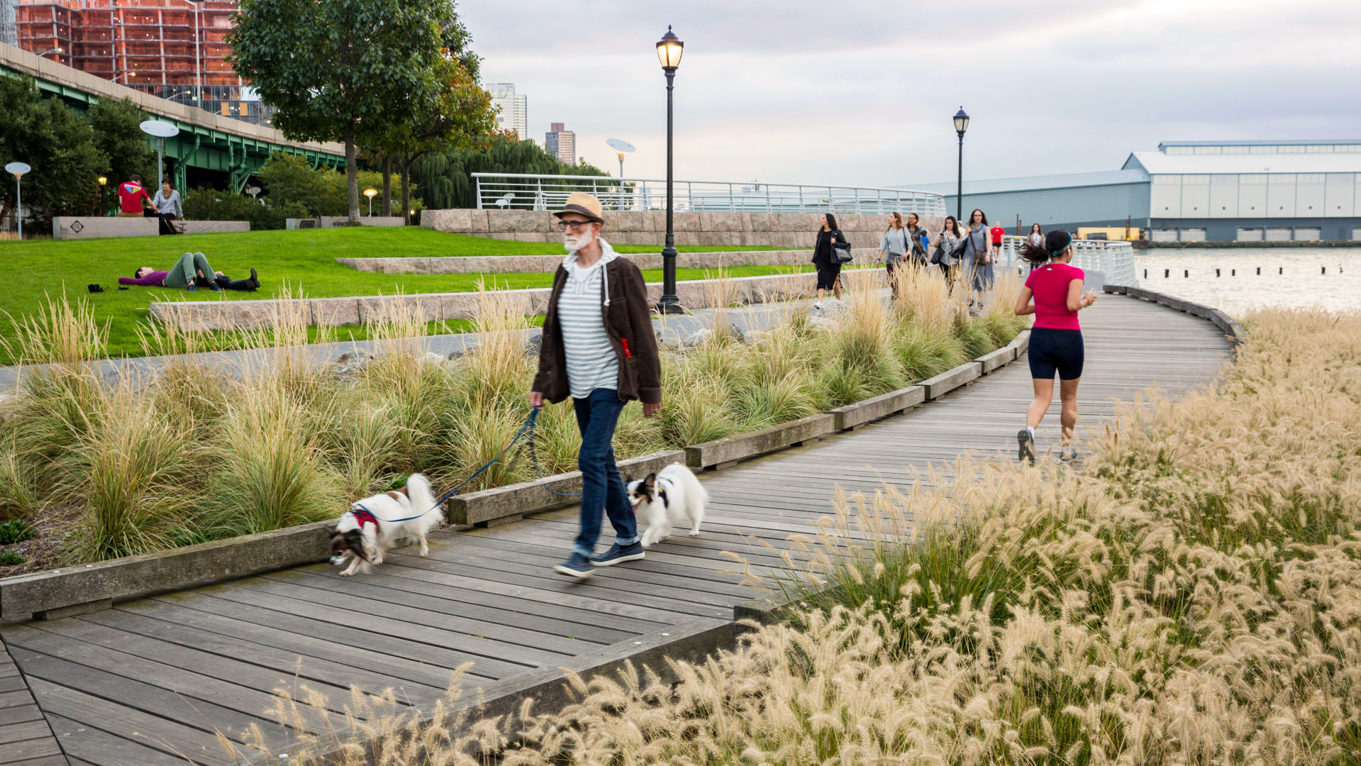
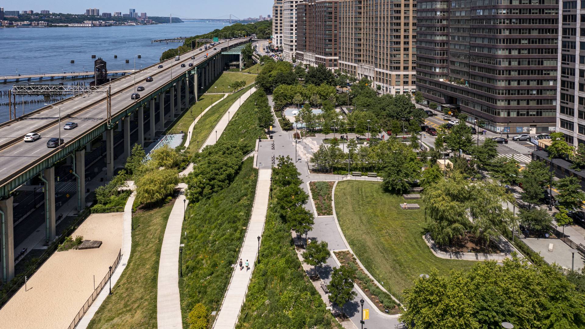
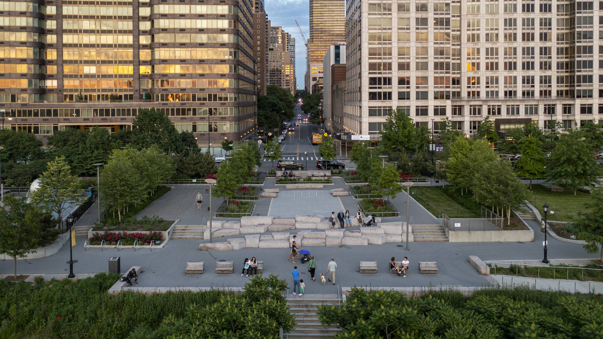
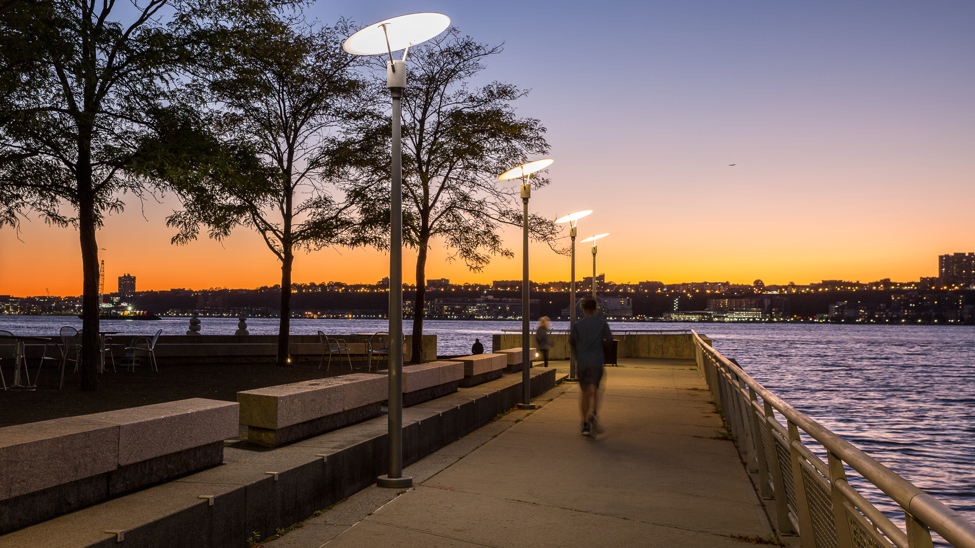
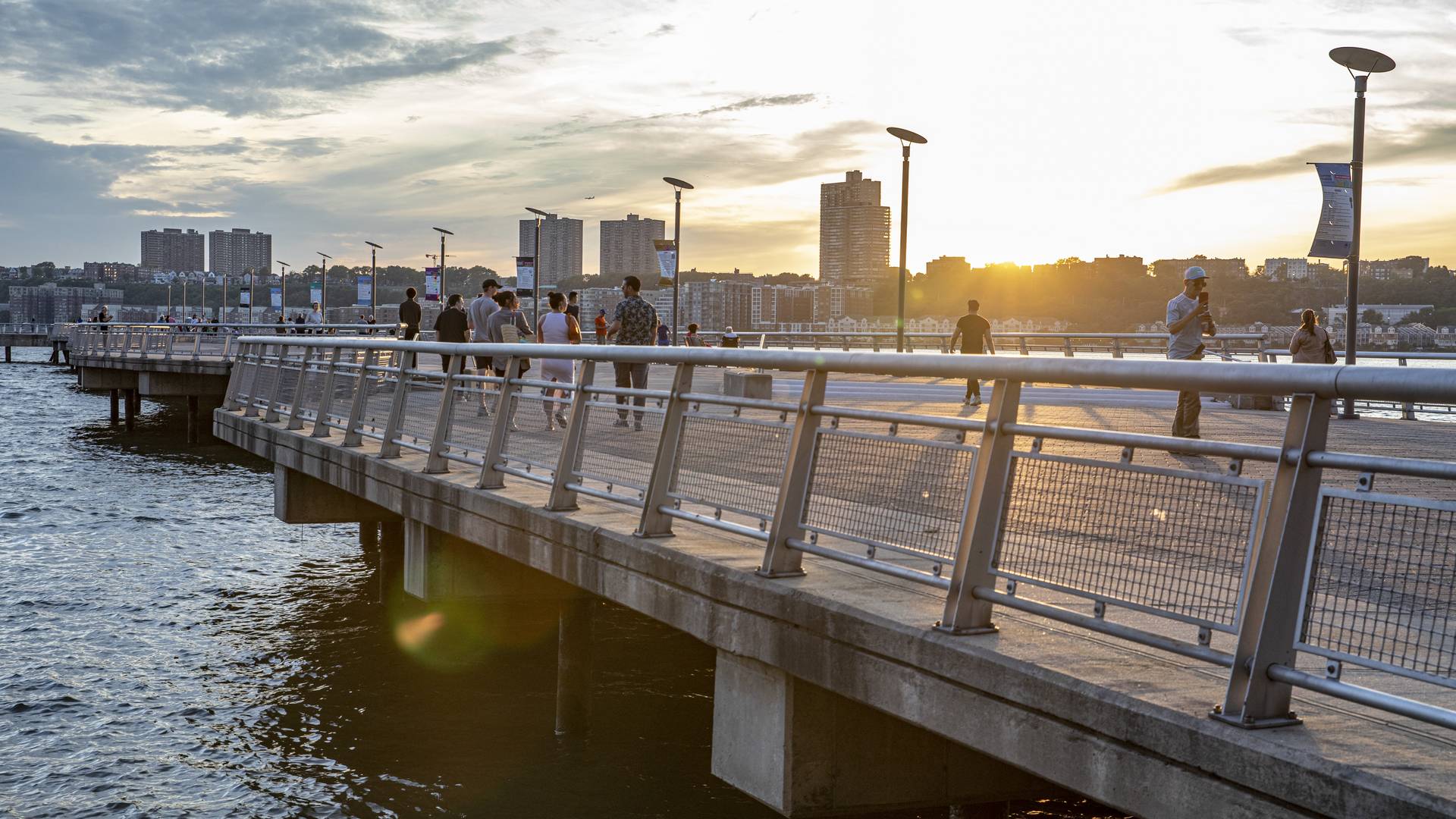
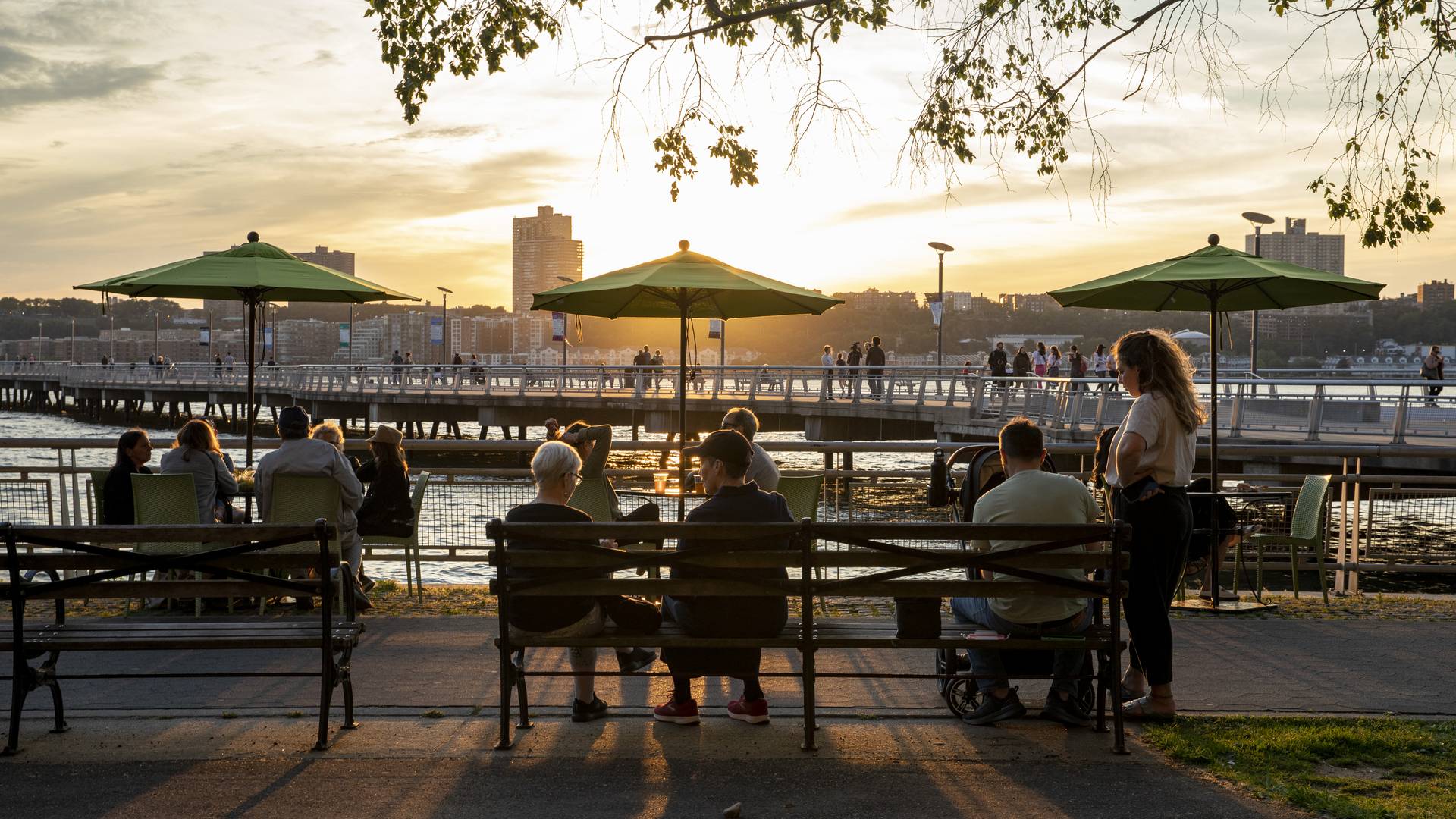
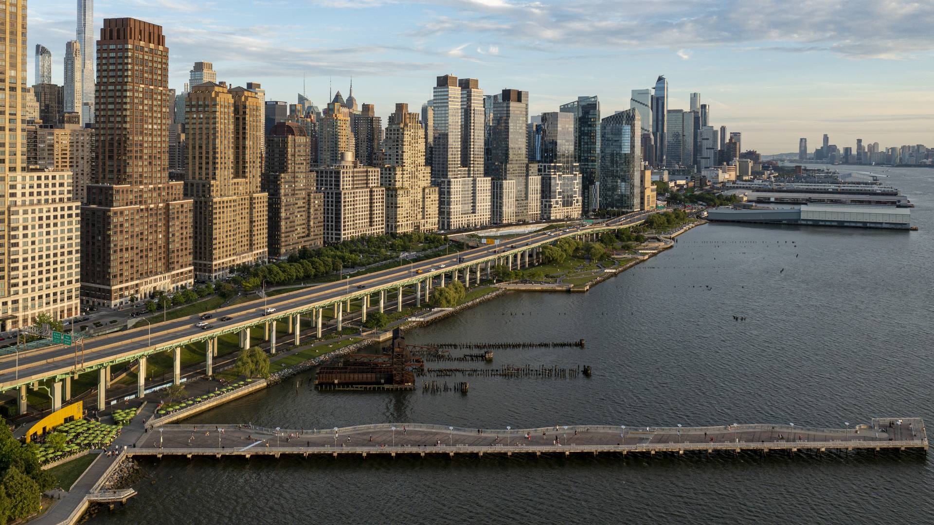
“[Riverside Park South] is a massive, multi-phase project of sweeping ambition and historic scope. Combining new greenspace, new infrastructure, and the renovation of landmark industrial buildings, the ….bold scheme calls for the elevated Miller Highway, long a barrier between the city and its waterfront, to be dropped to grade and covered with a park, affording unimpeded access from upland neighborhoods to their riverfront.
– Damian Holmes, World Landscape Architect
Located on the West Side of Manhattan on the scenic Hudson River shoreline, Riverside Park South is a massive, multiphase project of sweeping ambition and historic scope. Combining new green space, new infrastructure, and the renovation of landmark industrial buildings, the plan – originally devised by Thomas Balsley Associates in 1991 – is an extension of Frederick Law Olmsted’s famed Riverside Park, carrying it a further 13 blocks beyond its traditional southern boundary. At the same time, the scheme calls for the elevated Miller Highway (long a barrier between the city and its waterfront) to be replaced by an underground tunnel topped by lawns and surface streets, affording unimpeded access from new high-rise apartment buildings and upland neighborhoods to the parks and paths along the river.
Shekou Promenade
After China reached out to the rest of the world through its open-door policy, Shekou (part of the Shenzhen Special Economic Zone) became an important gateway for foreigners to discover the mainland. Its urban public realm, however, suffered from rapid urbanization and lacked attractive parks and facilities for the burgeoning population. With an increased awar...
Milton Street Park
Milton Street Park is a 1.2-acre linear urban park alongside the Ballona Creek Bike Trail in Los Angeles, California. The plan incorporates numerous green-design elements, including the use of recycled materials, native planting, flow-through planters and treatment alongside the 1,000-foot-long, 45-foot-wide stretch of land. A variety of special elements such...
Baton Rouge Lakes
The 275-acre Baton Rouges Lakes system is a series of six lakes in central Baton Rouge adjacent to Louisiana State University, three major parks, and a diverse mix of neighborhoods. Recognizing opportunity in crisis, a newly funded master plan provides sound ecological restoration methods that will heal a dying lake system while reconnecting the region to its ...
Katy Trail
Katy Trail represents a remarkable resource for the residents of the Dallas Fort Worth region. This project enlivens and makes accessible right-of-way established by the storied, but later abandoned, Missouri-Kansas-Texas (better known as the “Katy”) line, and serves as a unifying element for the surrounding neighborhoods. Katy Trail provides appro...


