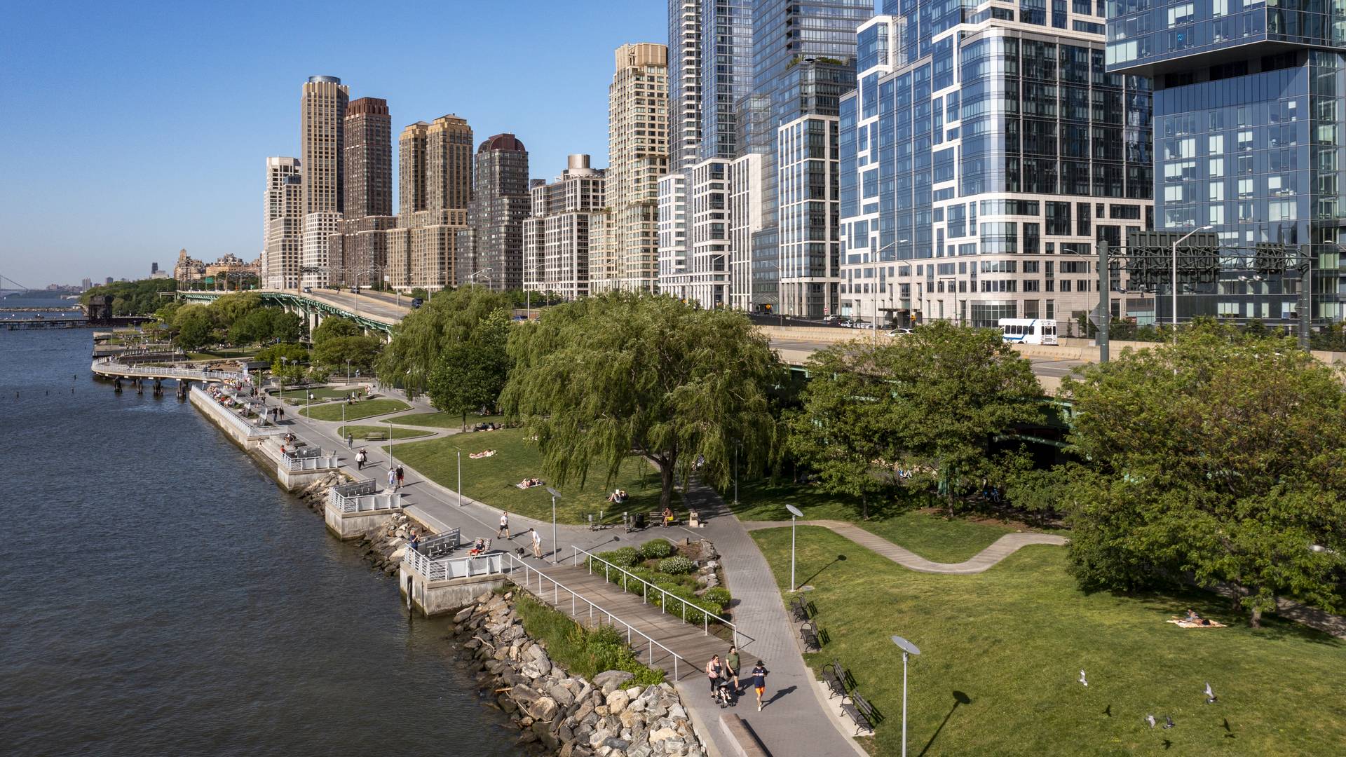
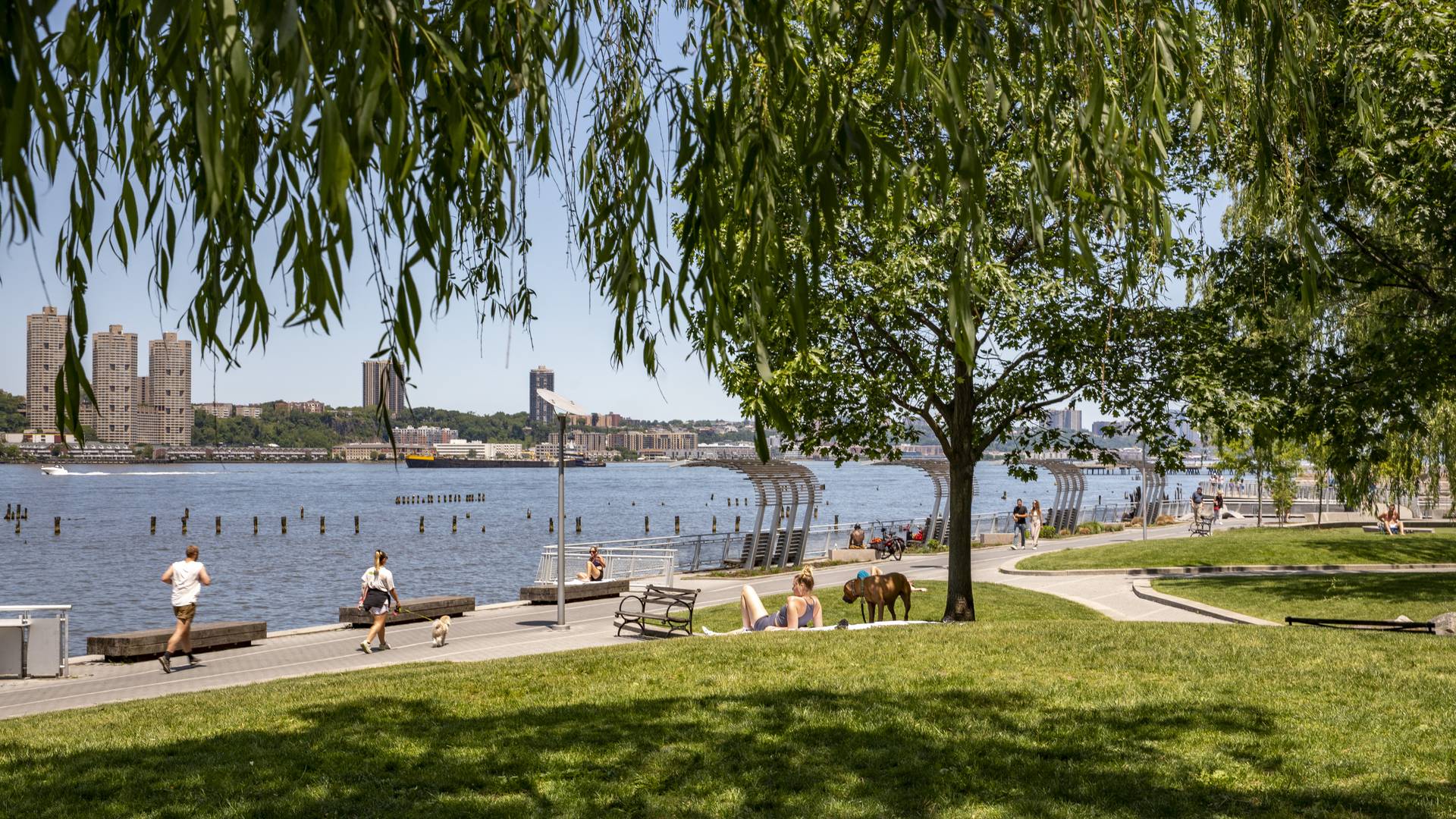
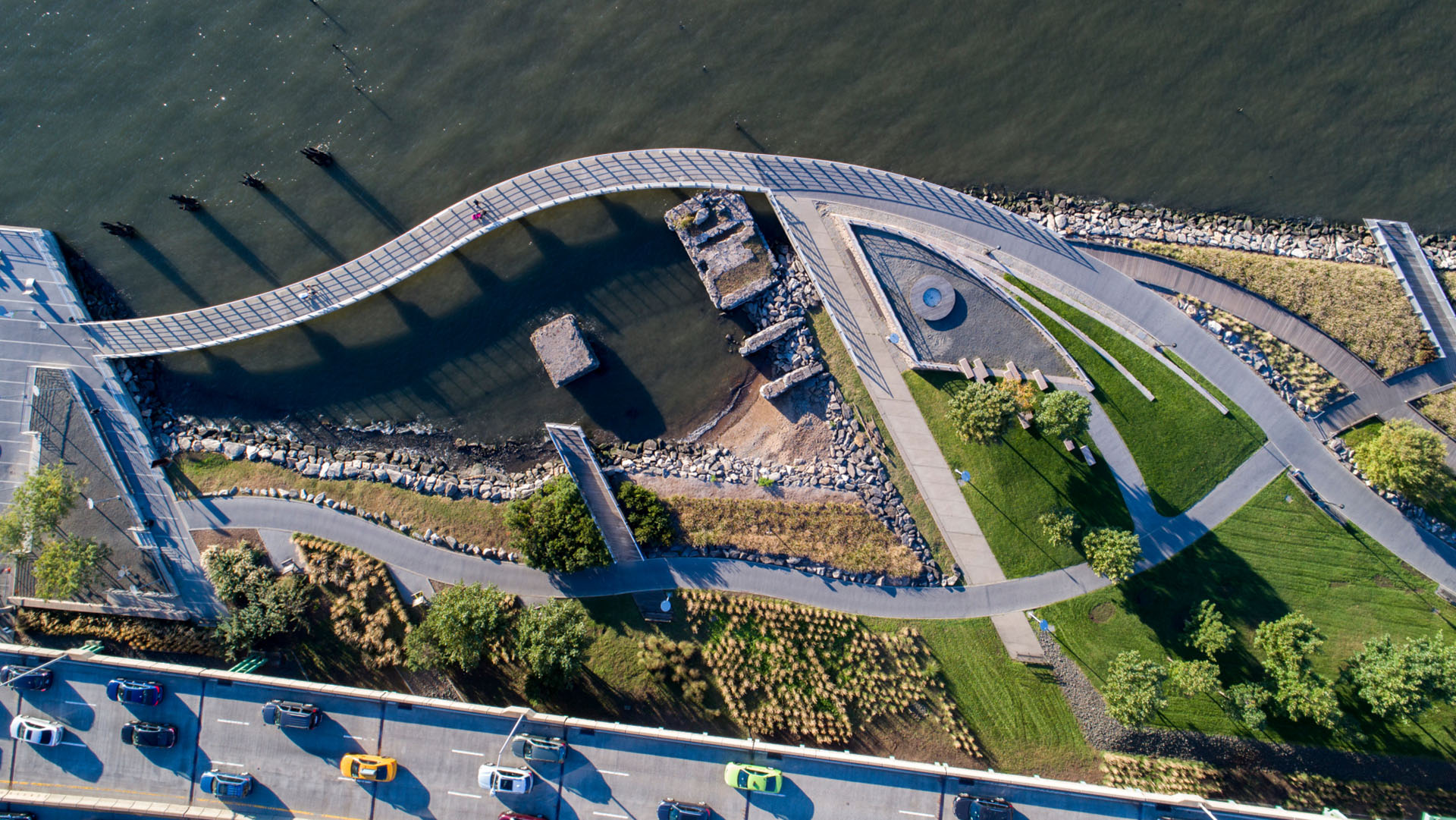
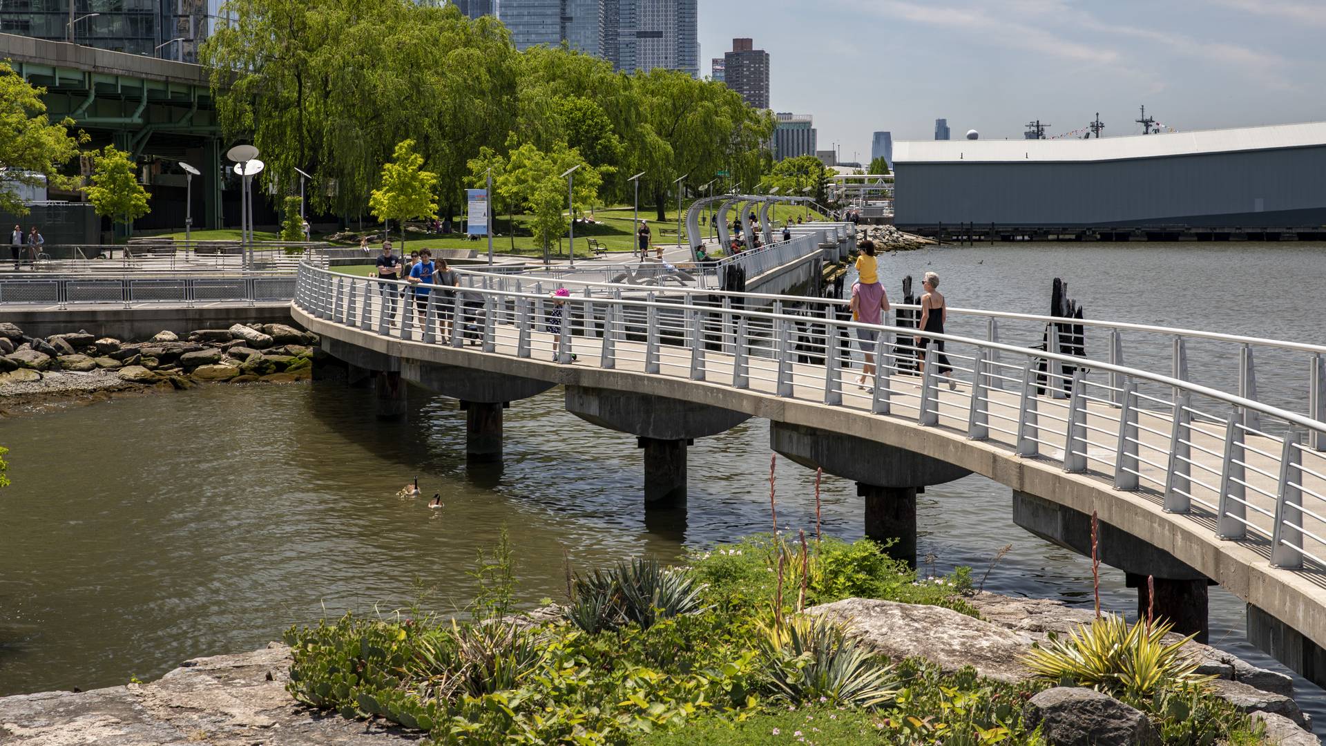
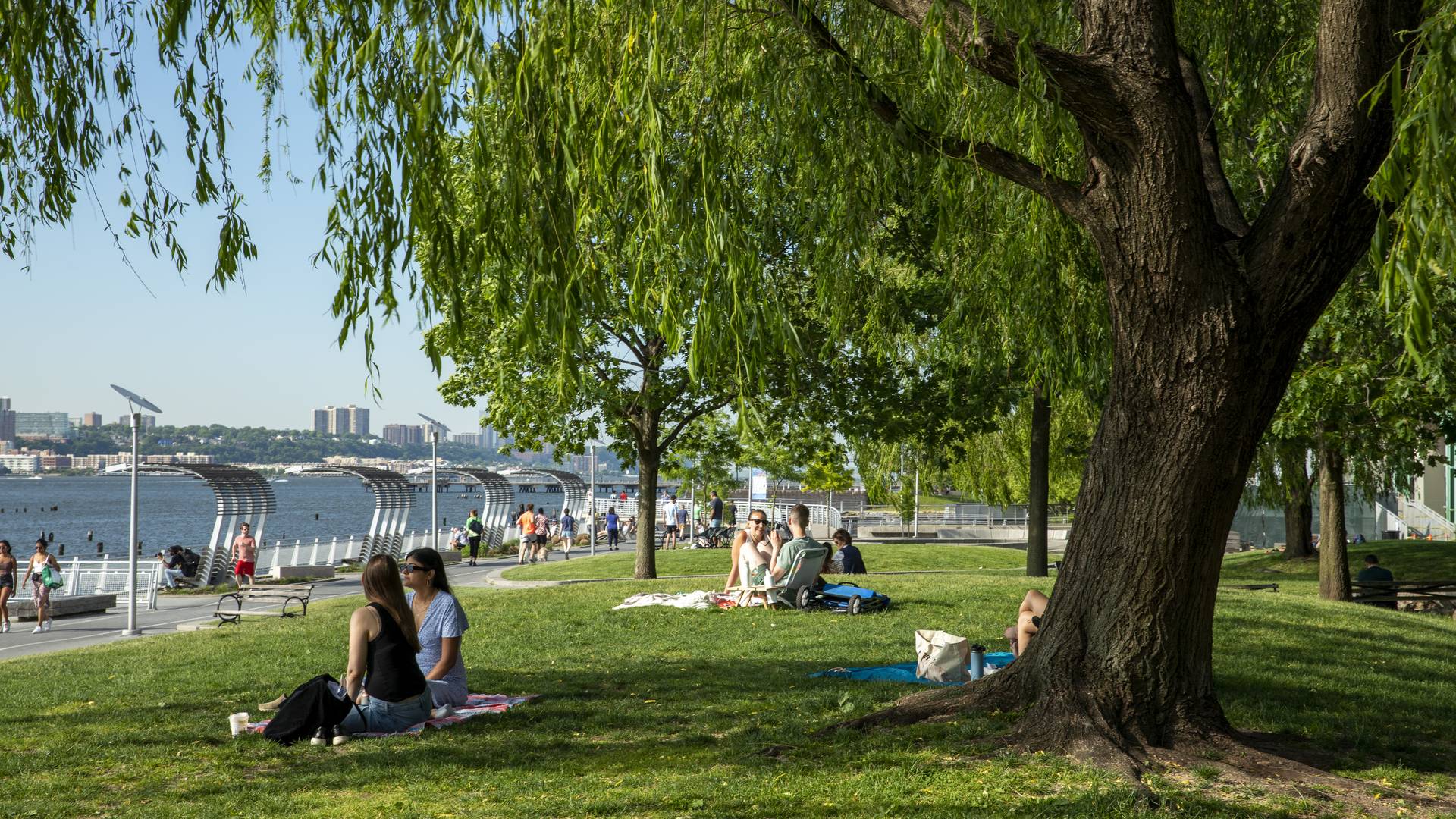
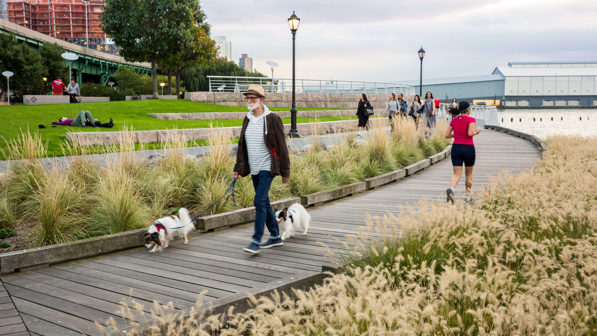
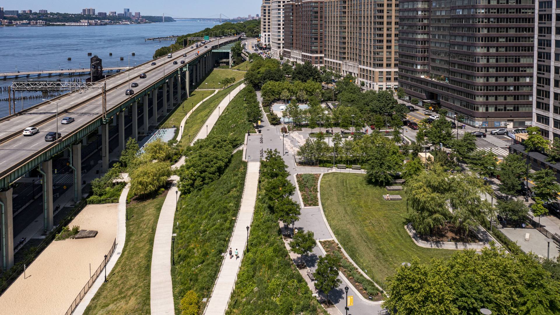
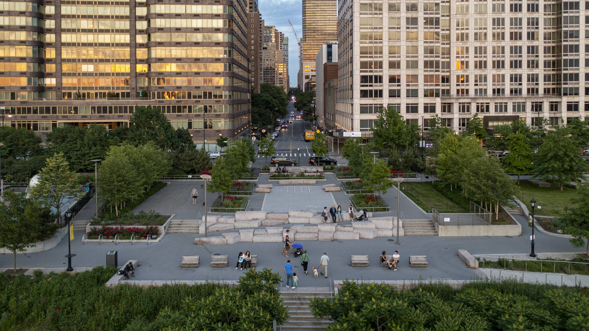
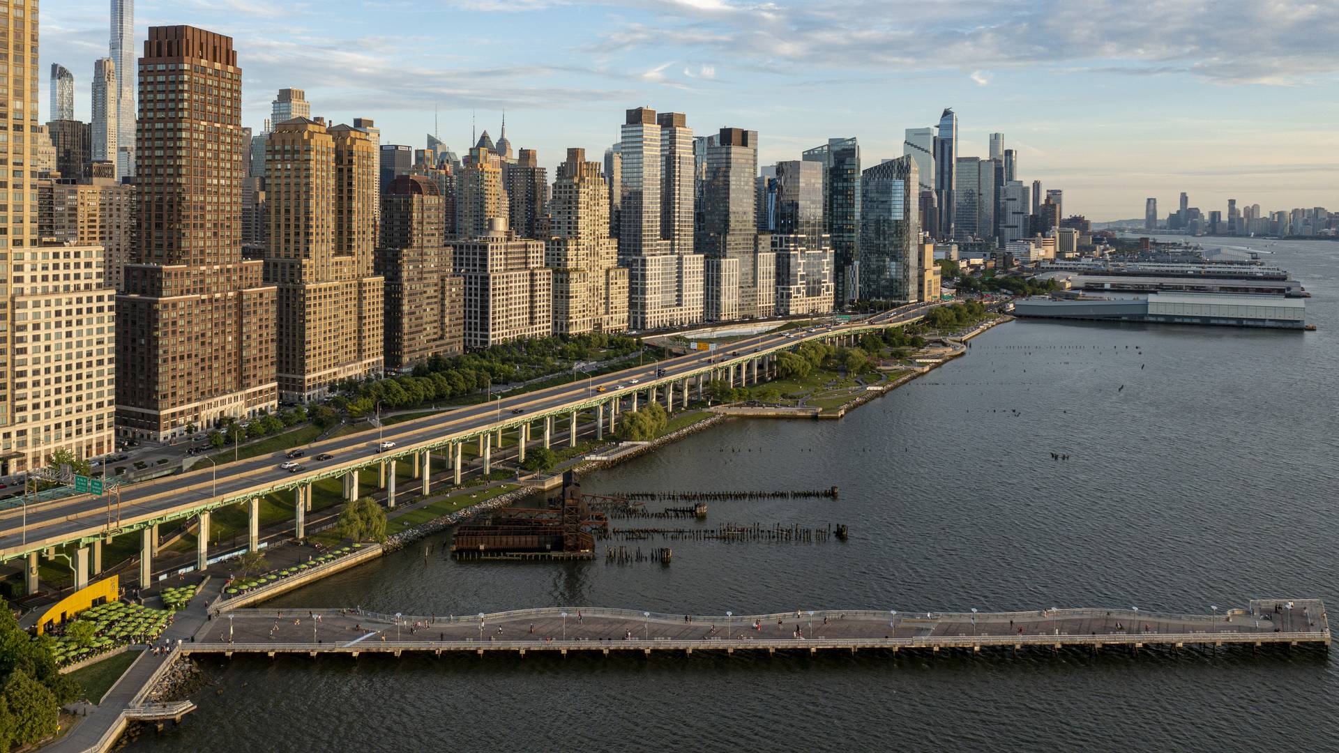
“[Riverside Park South] is a massive, multi-phase project of sweeping ambition and historic scope. Combining new greenspace, new infrastructure, and the renovation of landmark industrial buildings, the ….bold scheme calls for the elevated Miller Highway, long a barrier between the city and its waterfront, to be dropped to grade and covered with a park, affording unimpeded access from upland neighborhoods to their riverfront.
– Damian Holmes, World Landscape Architect
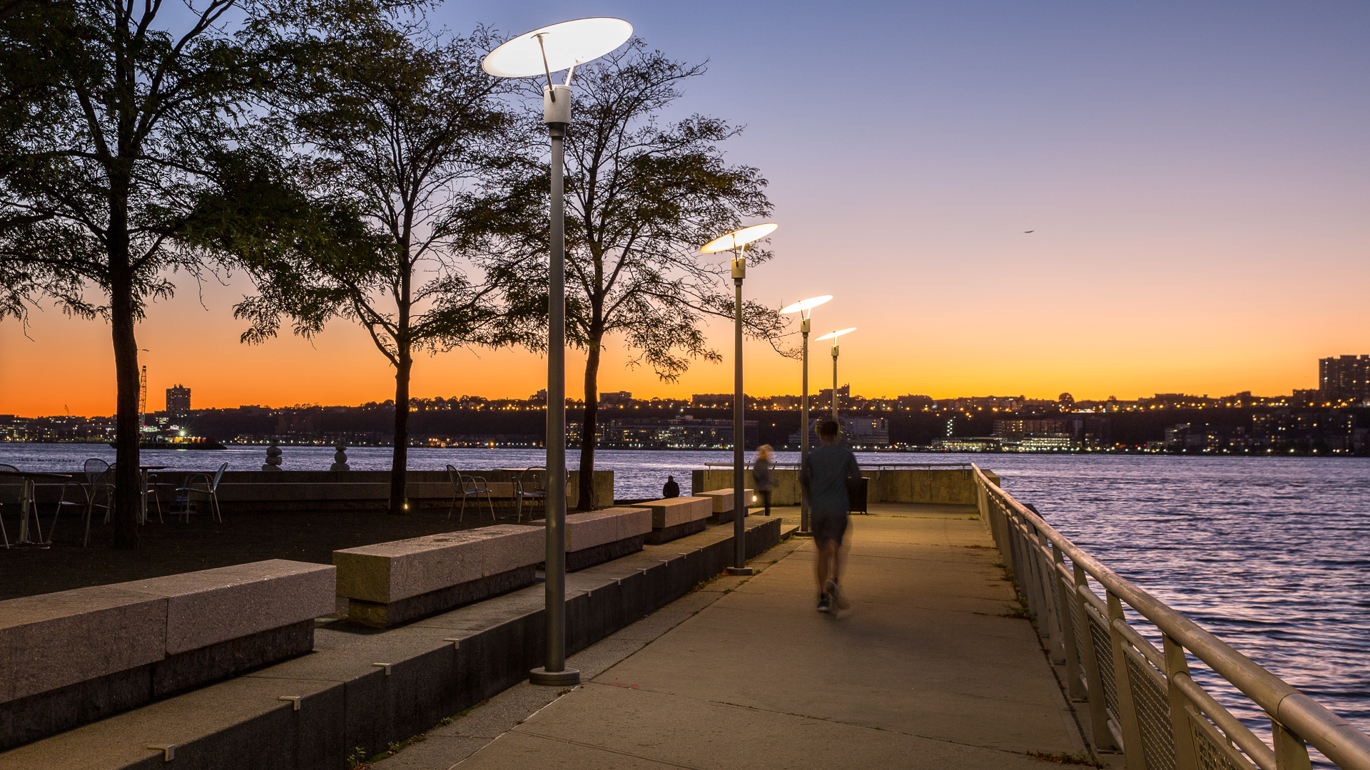
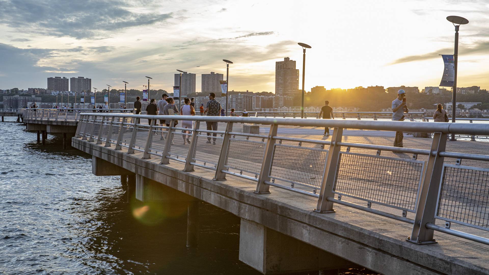
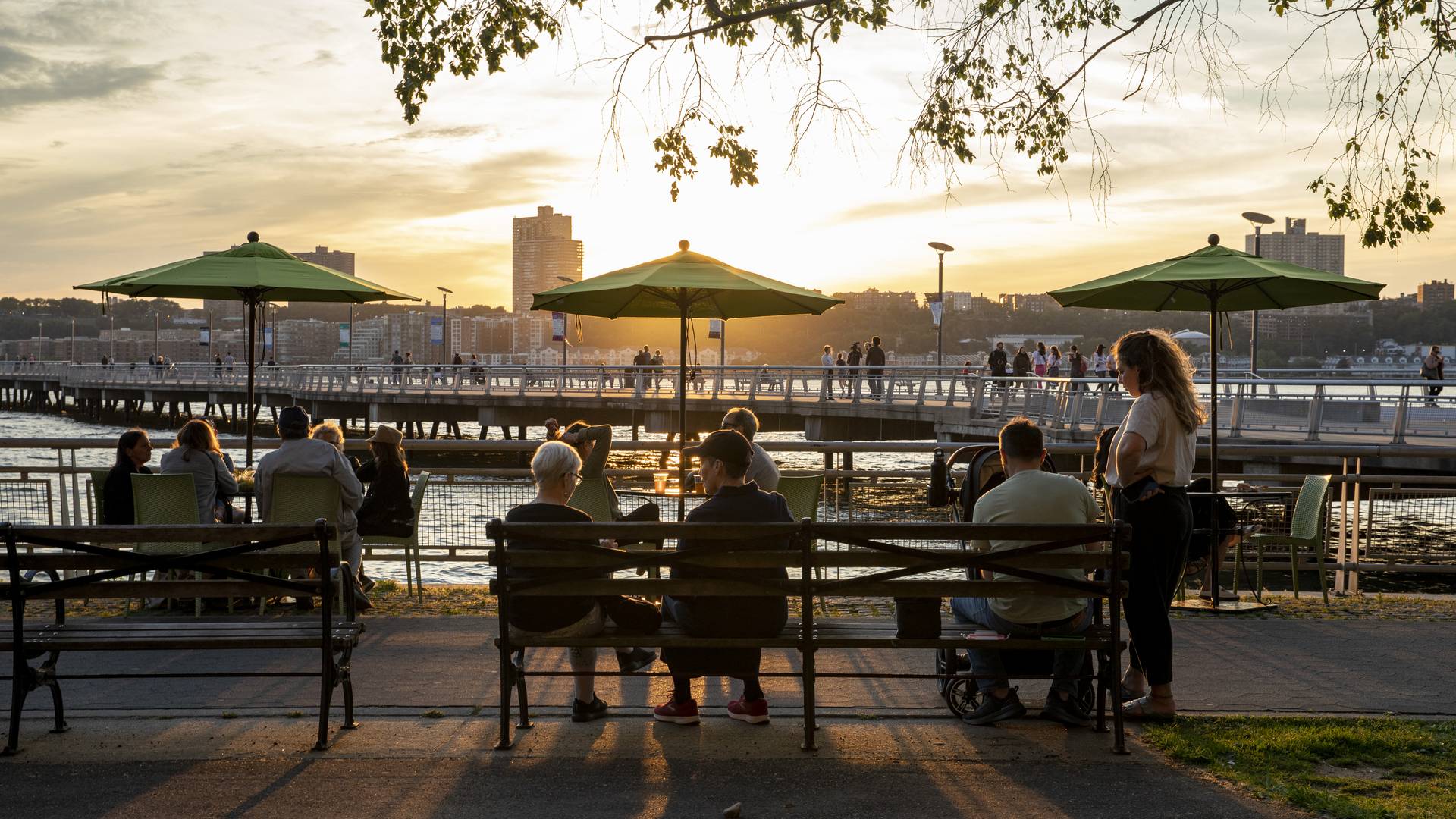
Located on the West Side of Manhattan on the scenic Hudson River shoreline, Riverside Park South is a massive, multiphase project of sweeping ambition and historic scope. Combining new green space, new infrastructure, and the renovation of landmark industrial buildings, the plan – originally devised by Thomas Balsley Associates in 1991 – is an extension of Frederick Law Olmsted’s famed Riverside Park, carrying it a further 13 blocks beyond its traditional southern boundary. At the same time, the scheme calls for the elevated Miller Highway (long a barrier between the city and its waterfront) to be replaced by an underground tunnel topped by lawns and surface streets, affording unimpeded access from new high-rise apartment buildings and upland neighborhoods to the parks and paths along the river.
Stanford University Terman Park
The removal of an existing building adjacent to the center of Stanford’s campus provided a unique opportunity to fashion an interim park space. The project emphasizes reuse and seeks to utilize salvaged materials as well as the existing grading and fountain as key features of the park. As a multifunctional performance and recreational space, the project ...
Changsha Baxizhou Island
Over many decades, public agencies in China have sought to solve growing flooding issues in a defensive way: fortifying and hardening river edges, raising levee heights, and ultimately separating the people from historical connections to the water. With an understanding of river flow processes and volumes and of wetland and native forest ecology, this separati...
Dubai Hills Boulevard and Public Realm
Envisioned as a garden oasis strategically situated where city meets desert, Dubai Hills will be a vibrant yet elegant mixed-use community for 21st-century living. The key public realm element of this massive 1,000-hectare development is a 5.6-kilometer urban boulevard lined with shops, residences, and offices along the district’s central spine. SWA/Balsley de...
San Pedro Waterfront Connectivity Plan
Spanning over 460 acres and 8 linear miles of waterfront, the Port of Los Angeles is among the most important pieces of infrastructure in the Western Hemisphere—the largest container port in the U.S., a linchpin for global logistics, and an industrial hub critical to San Pedro and L.A. County at large.
Today, the Port is imagining a more connective, acc...


