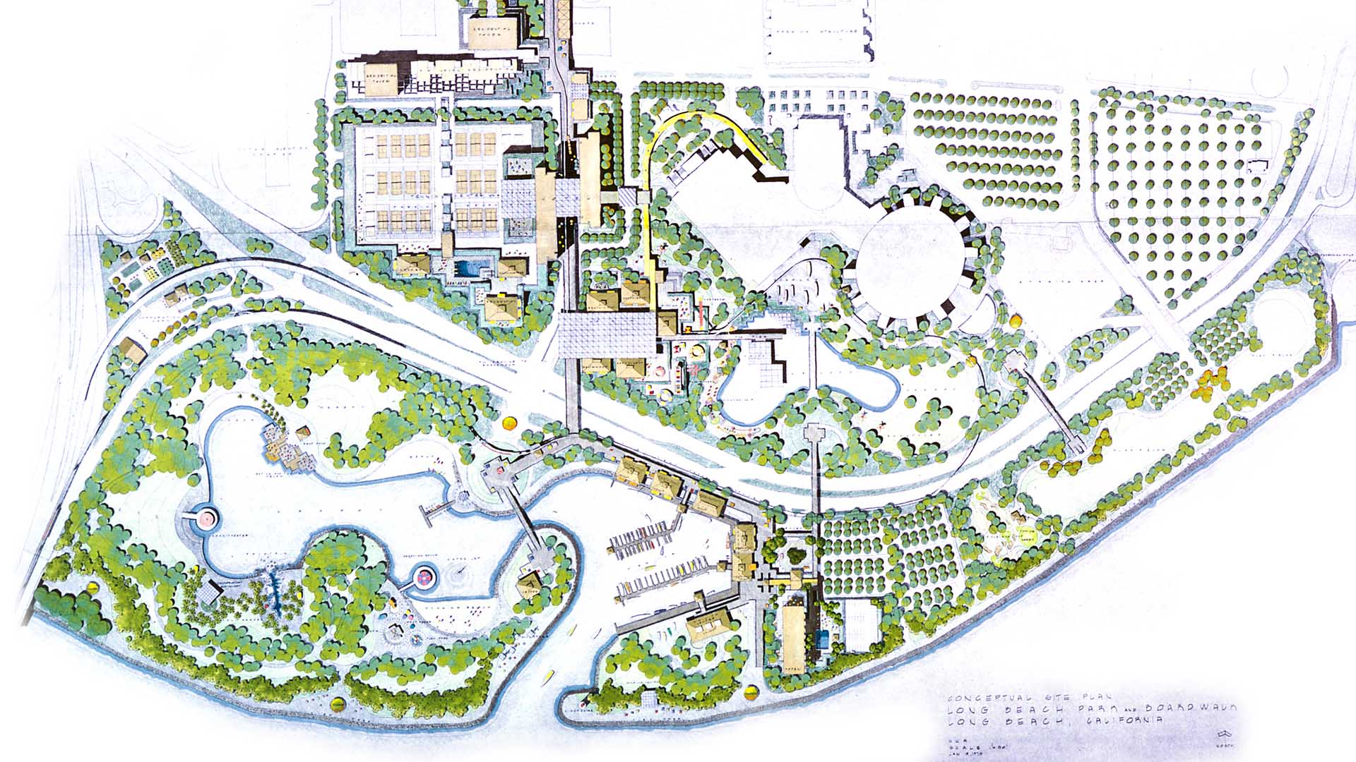
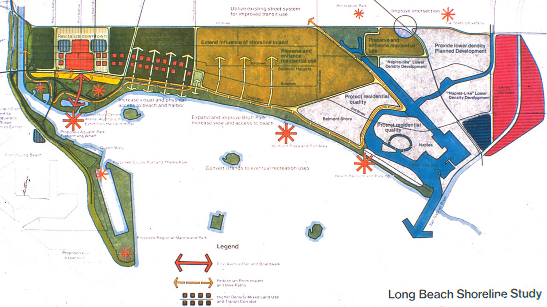
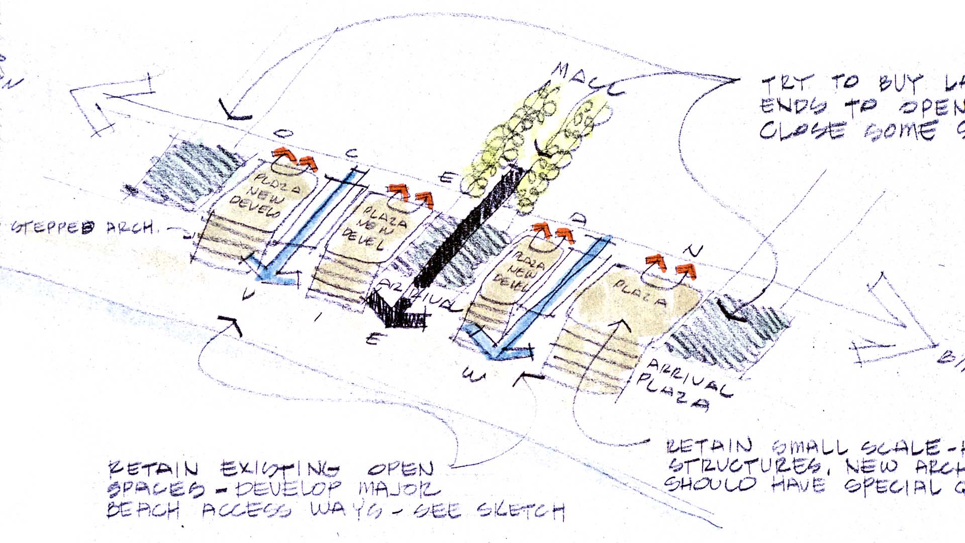
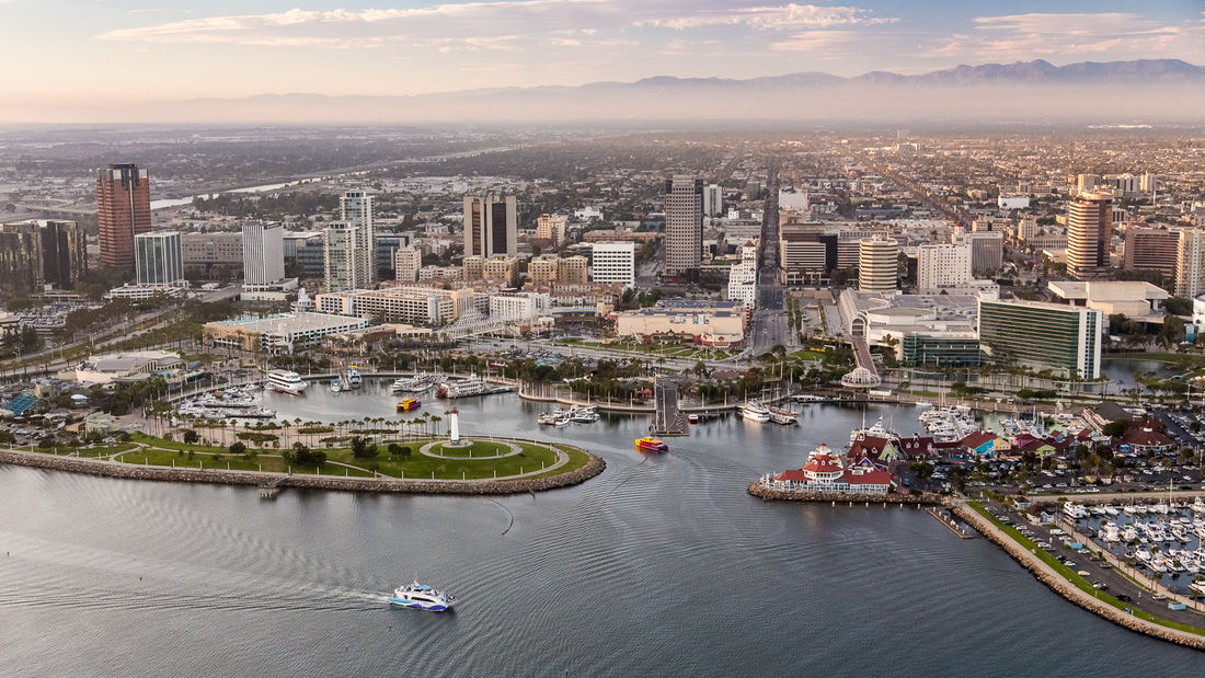
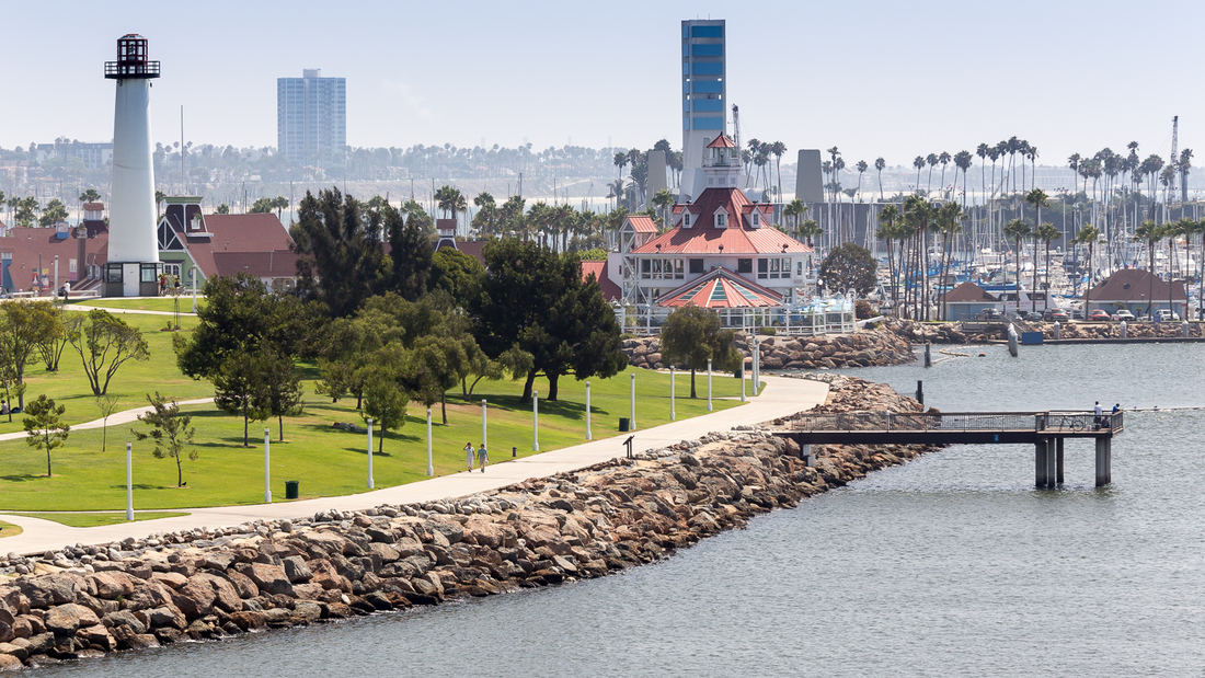
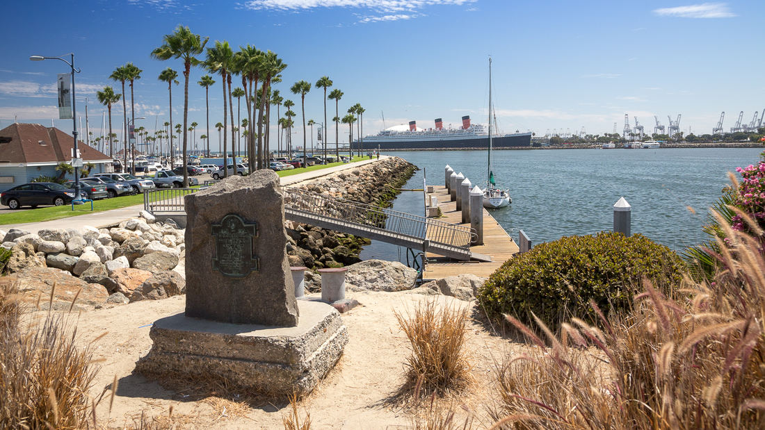
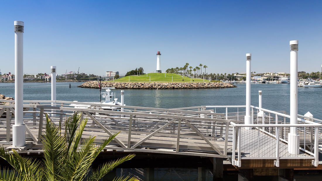
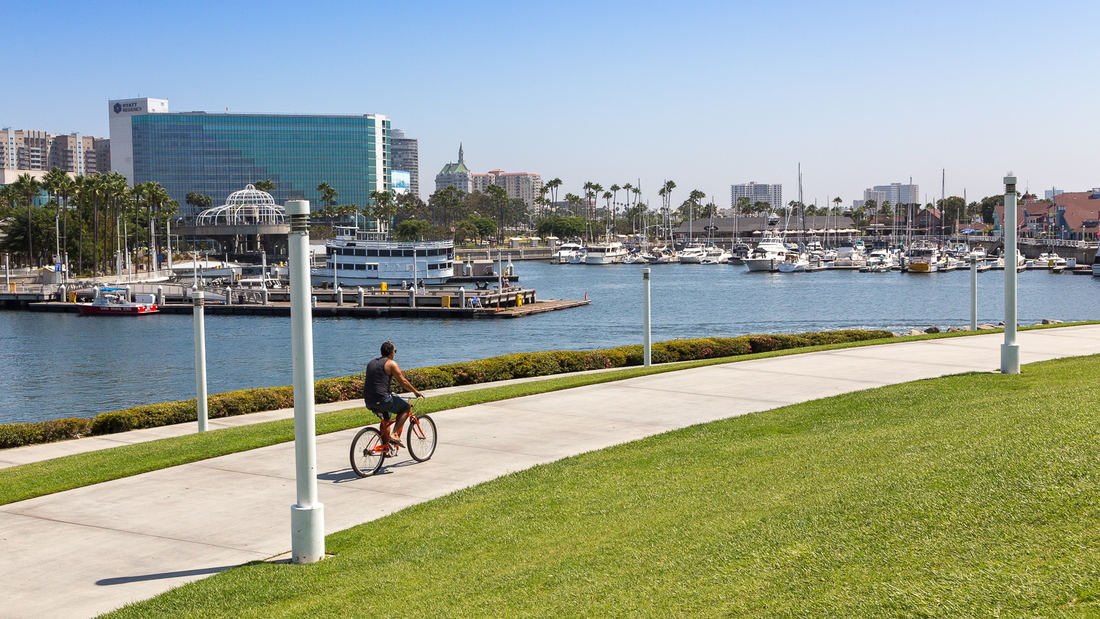
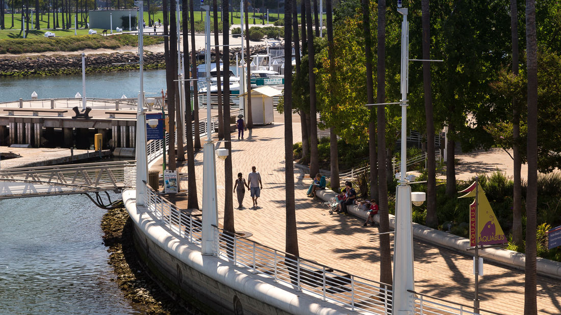
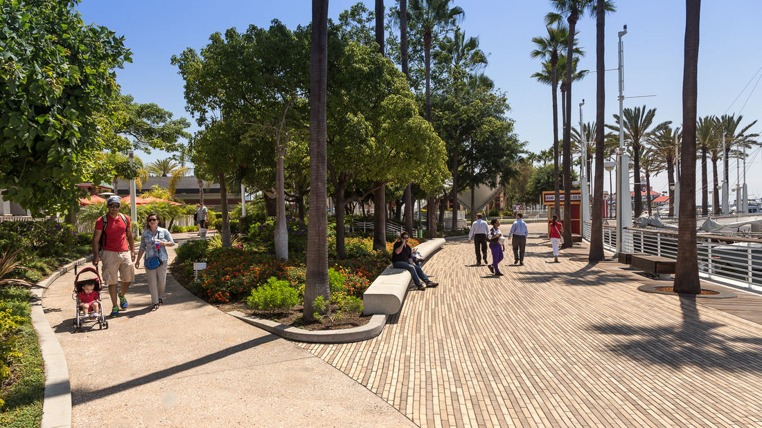
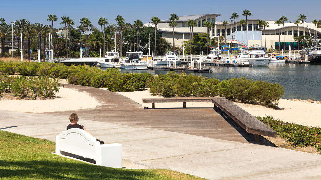
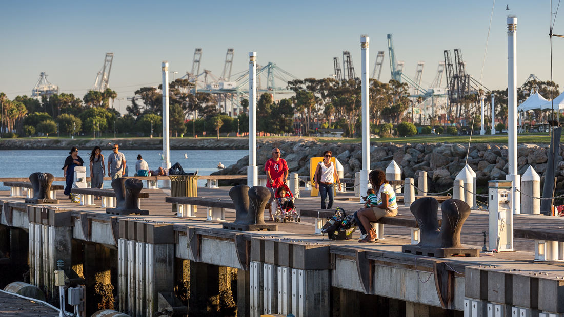
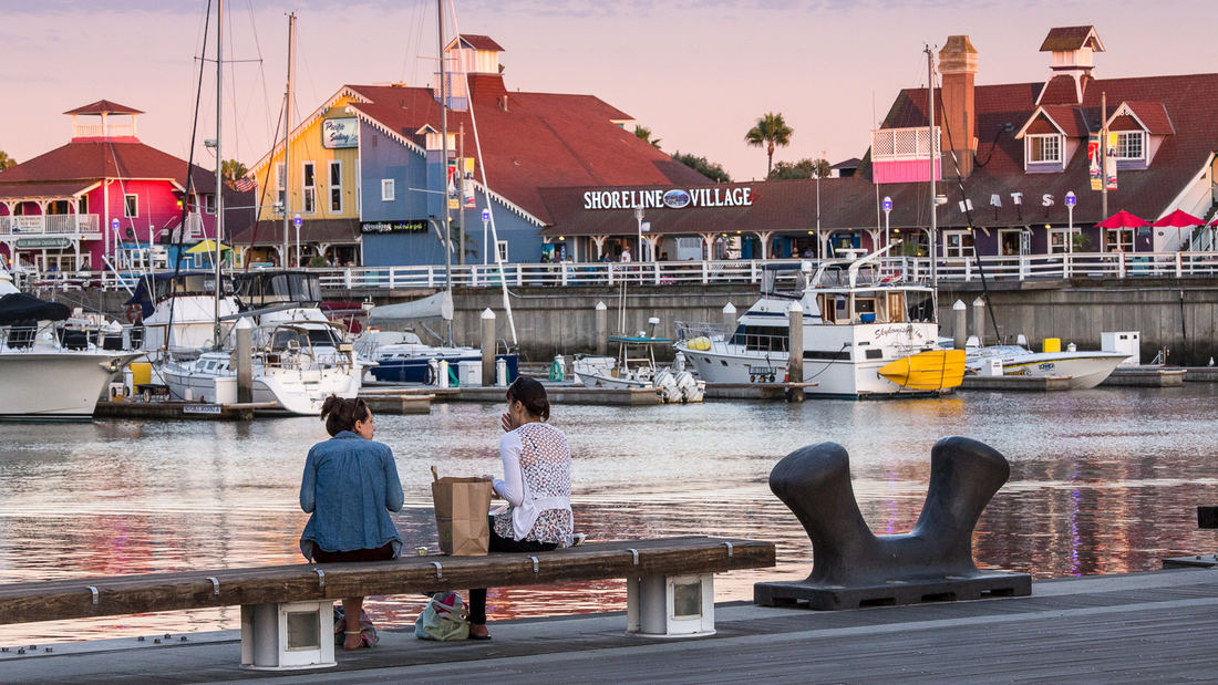
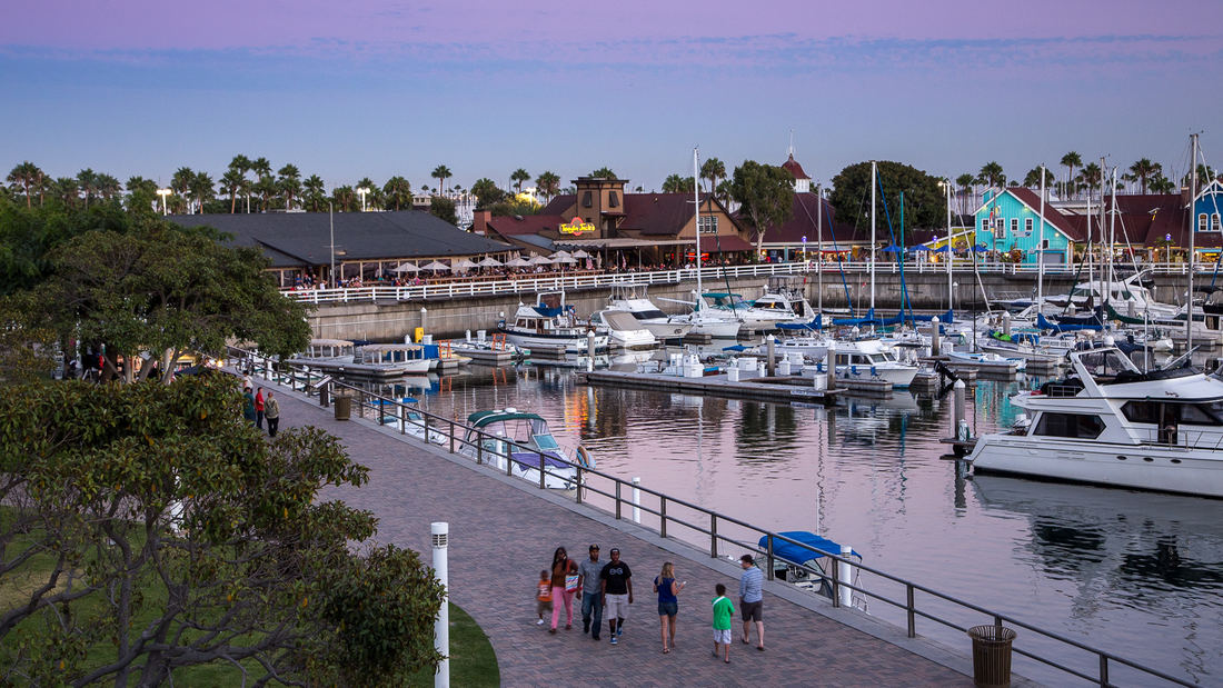
SWA prepared a land use and urban design plan for six miles of waterfront adjacent to downtown Long Beach. Through a series of meetings with local community stakeholders, we were able to determine the different needs of each district in the plan: of critical importance was the need to preserve valuable open space inland, and to maintain an ecological corridor for stormwater management along the shoreline. The resulting plan, endorsed by the California Coastal Commission, proposed improved road circulation, a continuous pedestrian boardwalk, marina and commercial development, and a 50-acre shoreline park. In addition to recommendations related to building density and height restrictions to preserve view corridors, SWA proposed several strategies for improving access to the coast from different points within the city. Specifically, we proposed a major new pedestrian spine linking downtown to the bay with provisions for new high-density office and residential development. Following approval of the plan, SWA was hired to perform more detailed studies of downtown development in support of the new convention center arena, performing arts center, Hyatt Regency hotel, and the Shoreline Village. The important recommendations made by SWA are still evident today in the distinct qualities of Long Beach’s downtown and shoreline neighborhoods.
Shenzhen Longgang River Blueway
Shenzhen’s Blueway Initiative is envisioned to activate the industry and culture of its urban communities, unlock the tremendous land value of the watershed, and inject sustainable vitality into Shenzhen’s future growth. The design is inspired by the interplay of the blueway’s five systems: hydrology, ecology, leisure, industry, and culture. The design strateg...
Hangzhou Grand Canal
For centuries, the Beijing-Hangzhou’s Grand Canal – a staggering 1,000 linear miles which remain the world’s longest man-made waterway – was a lifeline for commerce and communication. The water’s edge was necessary for trade, a logical place to live, and often a driver of innovation. However, as with many waterfronts globally, it eventually fell victim to the...
Downtown Cairo Planning & Revitalization
The Khedive’s Cairo is often referred to as the heart of modern Cairo. Laid out by Ismail Pacha in the late 19th century, the Khedive’s Cairo was a physical manifestation of the governmental and societal evolution that the Khedive envisioned for Egypt. Like many American and European cities, time and intense pressures of popul...
Santana Row
SWA provided full landscape architectural services for the development of a neo-traditional town center near downtown San Jose. The client’s vision called for a variety of design styles to create a town center with an impression of growth over time. This theme is expressed in building elevations as well as landscape design. The restaurants and boutique r...


