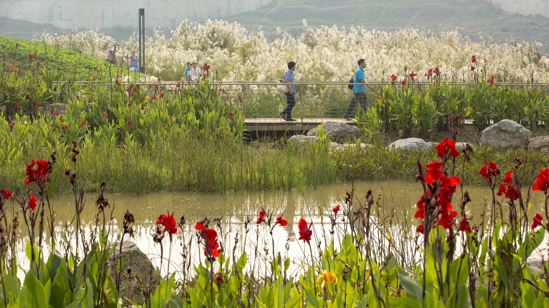
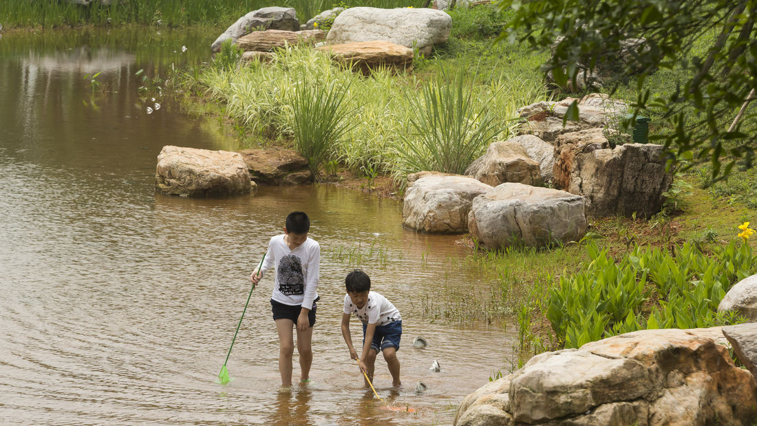
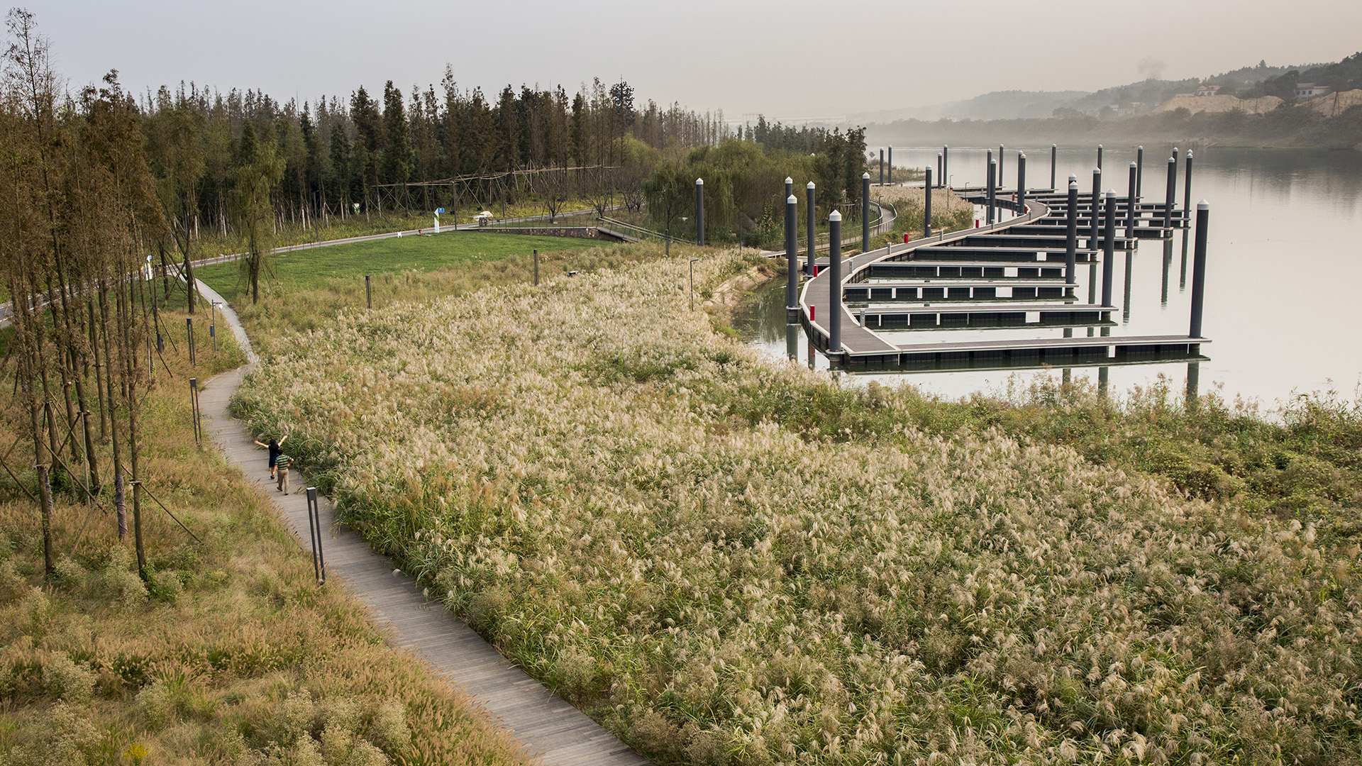
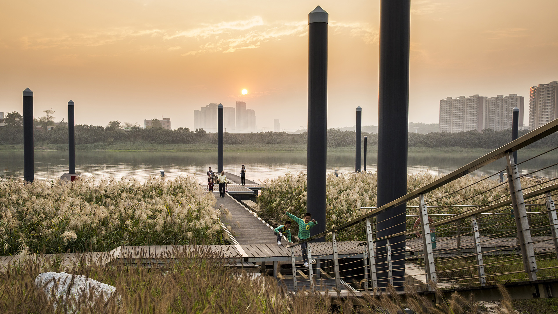
Over many decades, public agencies in China have sought to solve growing flooding issues in a defensive way: fortifying and hardening river edges, raising levee heights, and ultimately separating the people from historical connections to the water. With an understanding of river flow processes and volumes and of wetland and native forest ecology, this separation can be assuaged, reconnecting communities to their waterfronts while responding to periodic flooding.
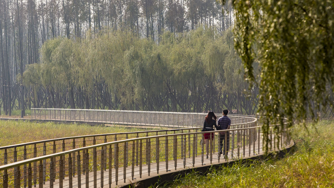
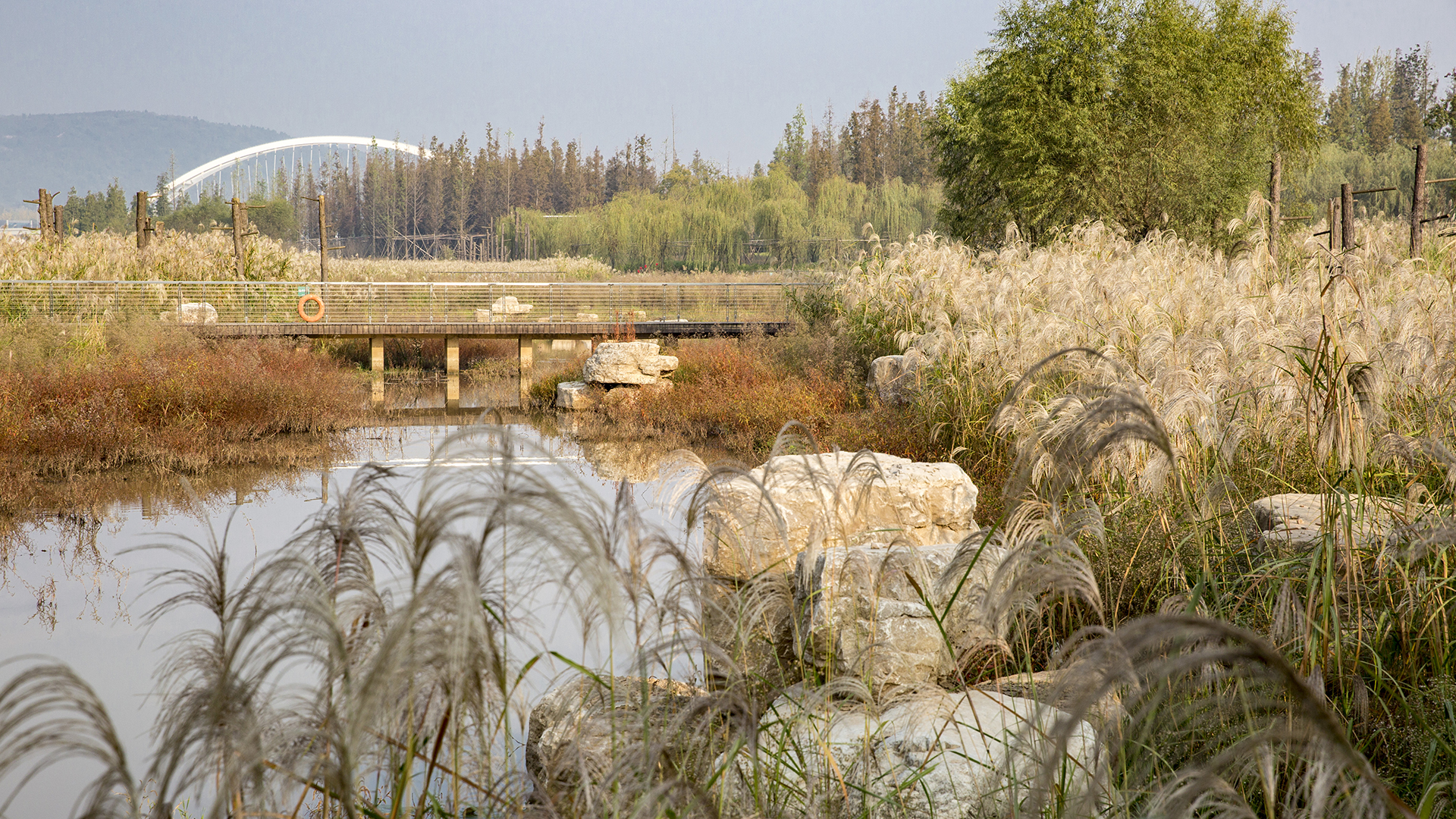
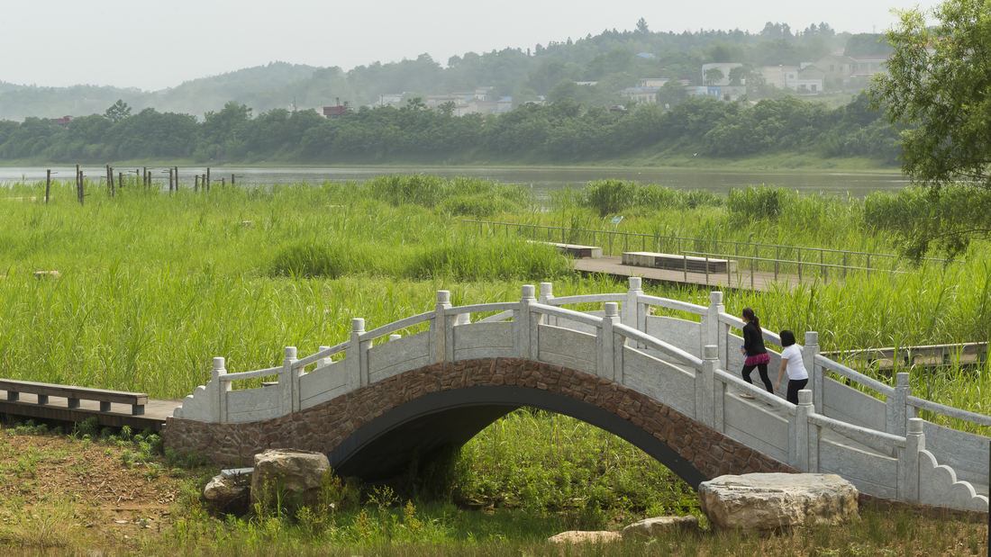
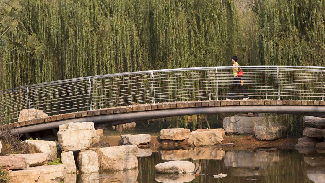
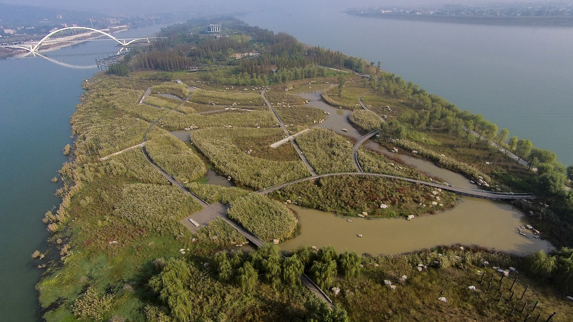
Located on the Xiang River in China’s Hunan Province, the 63.3-hectare Baxizhou Island is a private refuge covered with poplar trees and structures no longer in use. The conceptual design plan created a network of berm-buttressed paths, with terraced edges that create multi-level wetland system around the island: islands to the south, and small peninsulas, linked by a meandering boardwalk network. These peninsulas’ grass-lined channels lie beneath shallow water the majority of the year; however, during the flood season, the entire system is completely submerged.
At the island’s highest grades, private villas and a tennis facility are proposed. These are designed to be self-sustaining and integrated within the landscape, hidden within a forest wall. The island itself provides various opportunities for visitors to enjoy its natural beauty and newly thriving ecology.
Hengqin Island
Hengqin Island, located in Zhuhai, China, is embedded within a unique and beautiful landscape, and is currently being developed for urban growth throughout the region. Taking cues from the surrounding site, SWA’s master plan intends to capture the essence of the place, and pay homage to its most fundamental landscape elements: the sea, valley, and mountains. S...
Exploration Green
The Clear Lake City Water Authority (CLCWA) identified the increased needs for water detention due to the development increase in this area and bought an unprofitable golf course in 2005. SWA was engaged to design and master-plan the effort’s detention pond. The plan’s goals included flood mitigation and water quality improvements, along with the establi...
Fort Wayne Riverfront
As a city that was built and thrived because of its location as a crossroads between wilderness and city, farm and market, the realities of infrastructure both natural and man-made are at the heart of Fort Wayne’s history. We consider waterways as an integral part of open spaces of the City, forming a series of infrastructural systems that affect the dynamics ...
Bray's Bayou
Stretching 35 miles from the mouth of the Houston Ship Channel westward through residential, commercial and institutional developments, Brays Bayou is one of the most important waterways in Harris County, and a critical link in the area’s watershed. The $450-million project was first established in the early 2000s, with the goal of mitigatin...


