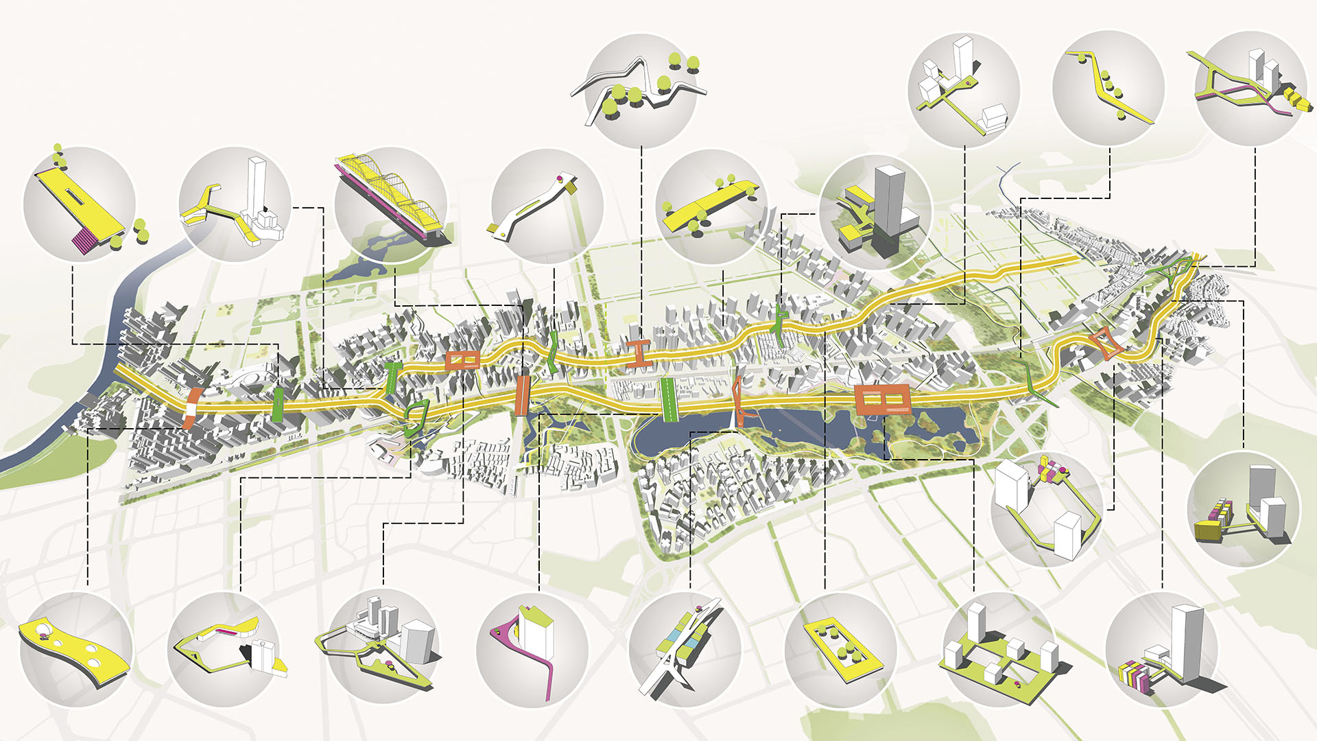
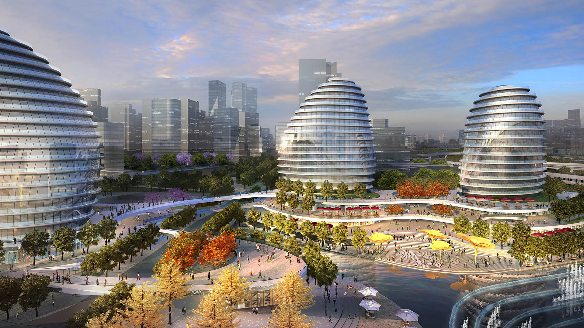
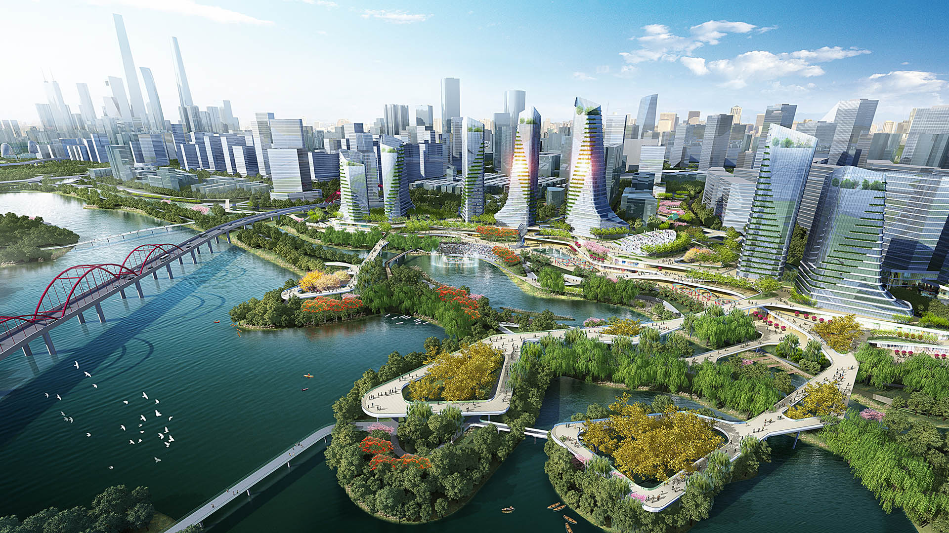
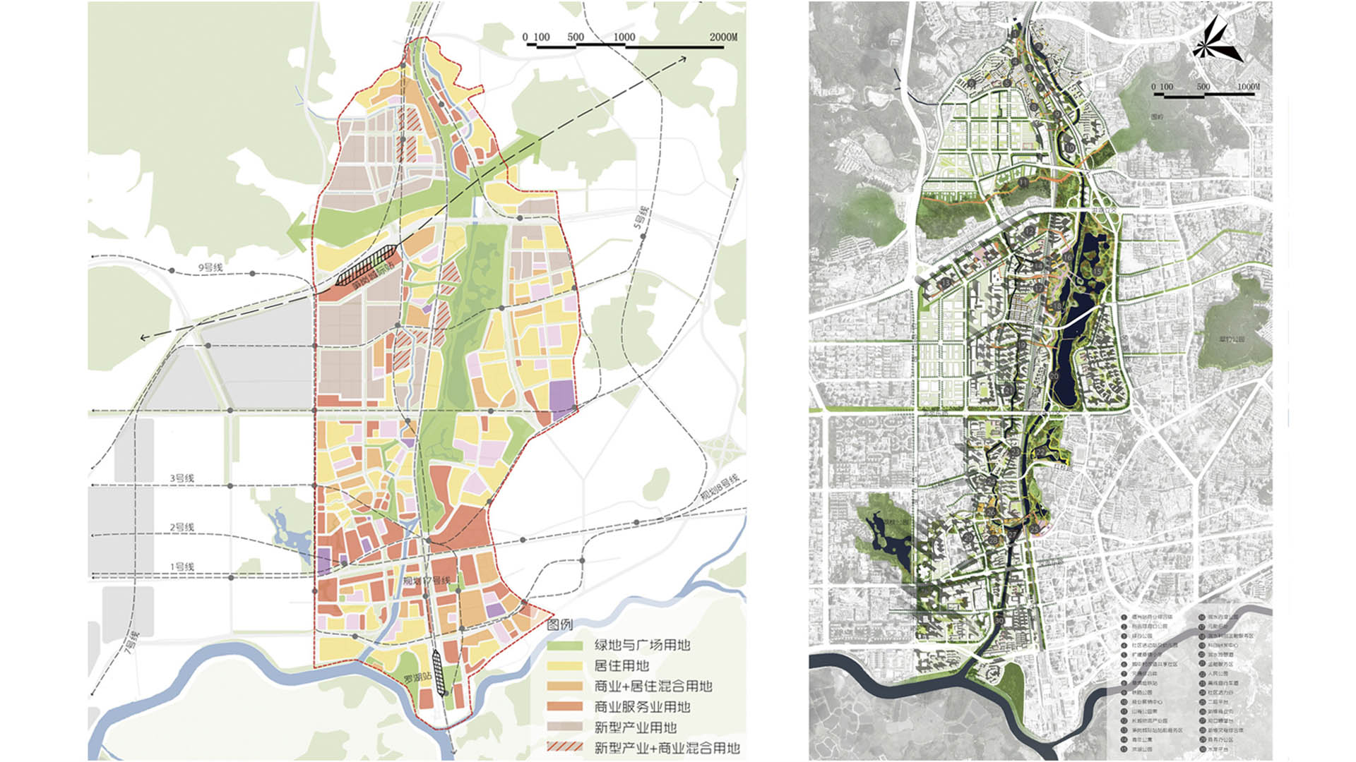
The Buji River urban review master plan integrates strategies of recreation, reconnection, culture, and ecology to bring the river back to the people of Shenzhen. Based on a restored Buji River ecosystem, the urban review master plan for this flourishing environment aims to reconnect the river with the city.
The program is to be implemented at three scales. At a city scale, a new green road network connects the Buji River and the city. At an urban scale, a vibrant waterfront hub with terraced water access and an amphitheater opens up the city toward the river with a dynamic three-dimensional bridge system to provide much-needed access to the river. Building forms are integrated within the river terminus, punctuating the mixed-use transit district. At a larger site scale, river banks will be reimagined with boardwalks, outlooks, terraced river banks, rock gardens, and floating gardens to encourage a peaceful or playful river experience. The greenway network extends into the neighborhoods and connects to the overall landscape system.
Greening Houston’s Freeways
As Houston’s Downtown has developed and expanded over many decades, public green space has been increasingly constrained by several interstate routes: primarily I-59, -45, and -69. These thoroughfares, while essential for commuters, have left little room for workers and nearby residents to enjoy unimpeded access to their locale’s adjacent trailways and bayous,...
Envision Willowick
The Cities of Garden Grove and Santa Ana are developing a “vision” for redevelopment of the Willowick Golf Course site. This process explored conceptual land use options that are formed by community and stakeholder collaboration and input. The Visioning is intended to be used to guide the preparation of development plans for Willowick. The visioning...
Dongguan Delta City
The Dongguan District is located at Binhai Bay in China’s Pearl River Delta, strategically situated between Shenzhen’s airport and the city of Guangzhou. An international competition asked for ways to capitalize on the heavy flow of traffic between them while also addressing extreme environmental risks: the World Bank ranks the Pearl River Delta at the top of ...
Fort Wayne Riverfront
As a city that was built and thrived because of its location as a crossroads between wilderness and city, farm and market, the realities of infrastructure both natural and man-made are at the heart of Fort Wayne’s history. We consider waterways as an integral part of open spaces of the City, forming a series of infrastructural systems that affect the dynamics ...


