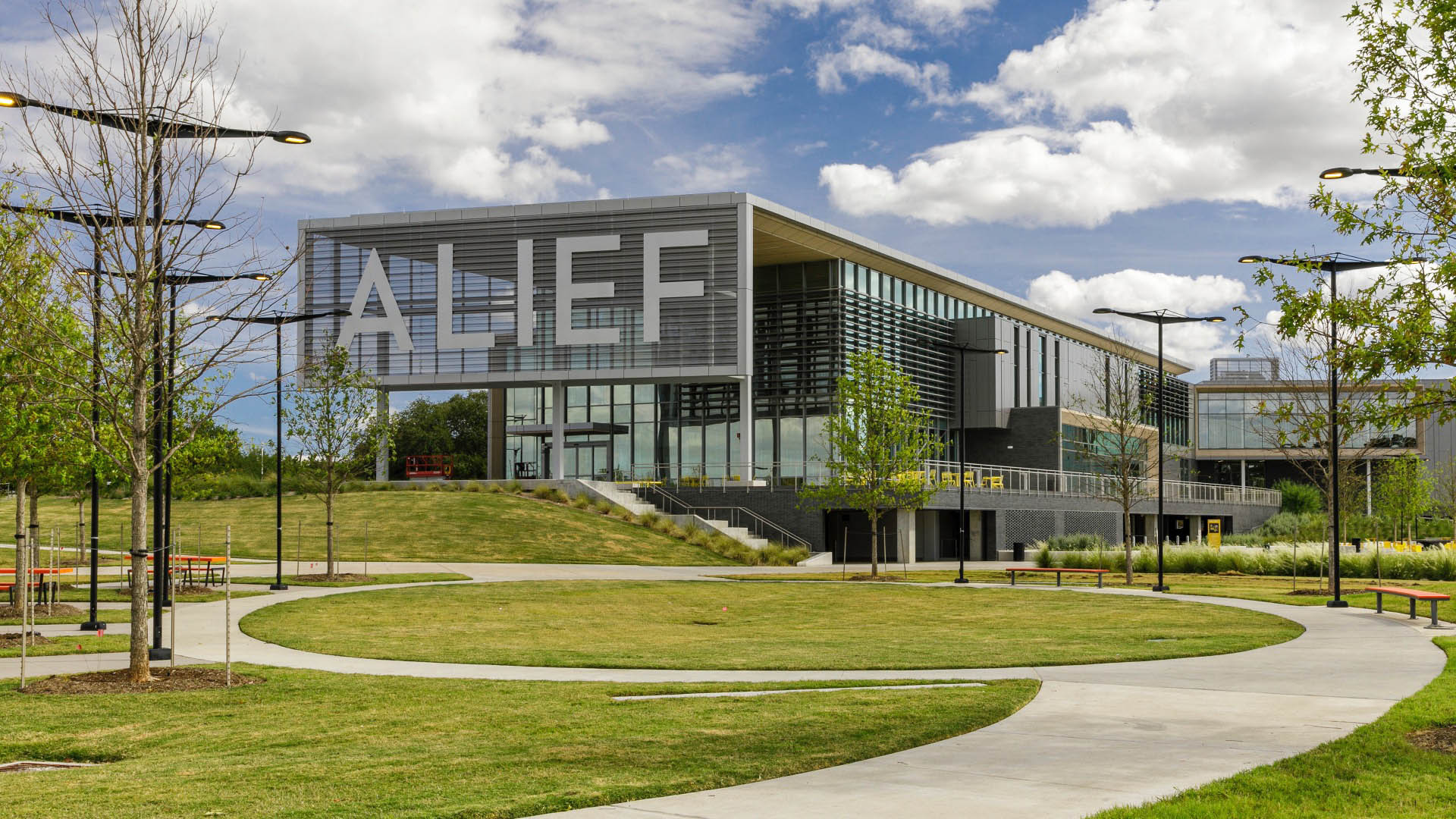
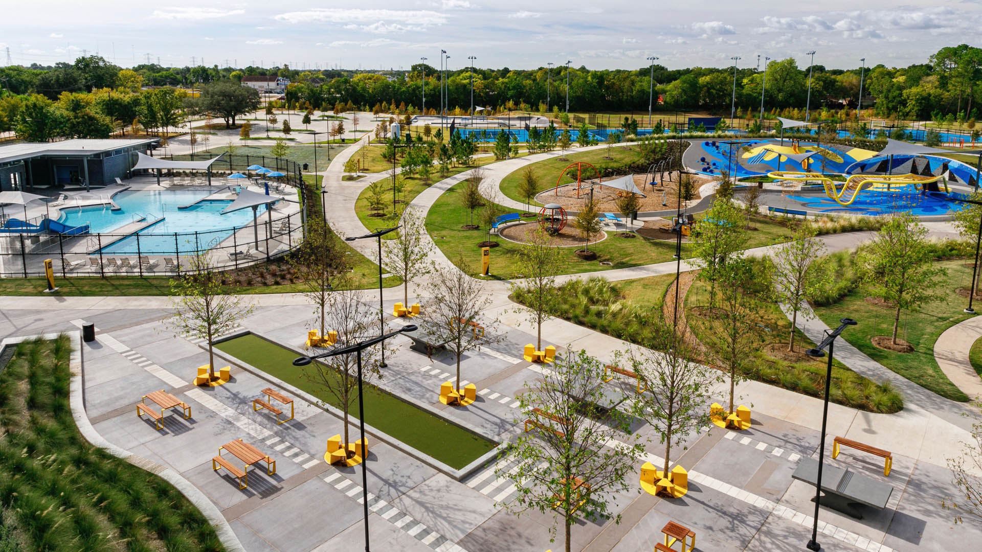
In the aftermath of Hurricane Harvey, Houston was compelled to reassess community preparedness. The 37-acre Alief Center, situated in one of the city’s most culturally diverse areas, addresses longstanding issues of disinvestment and environmental injustice while fostering physical and social resilience.
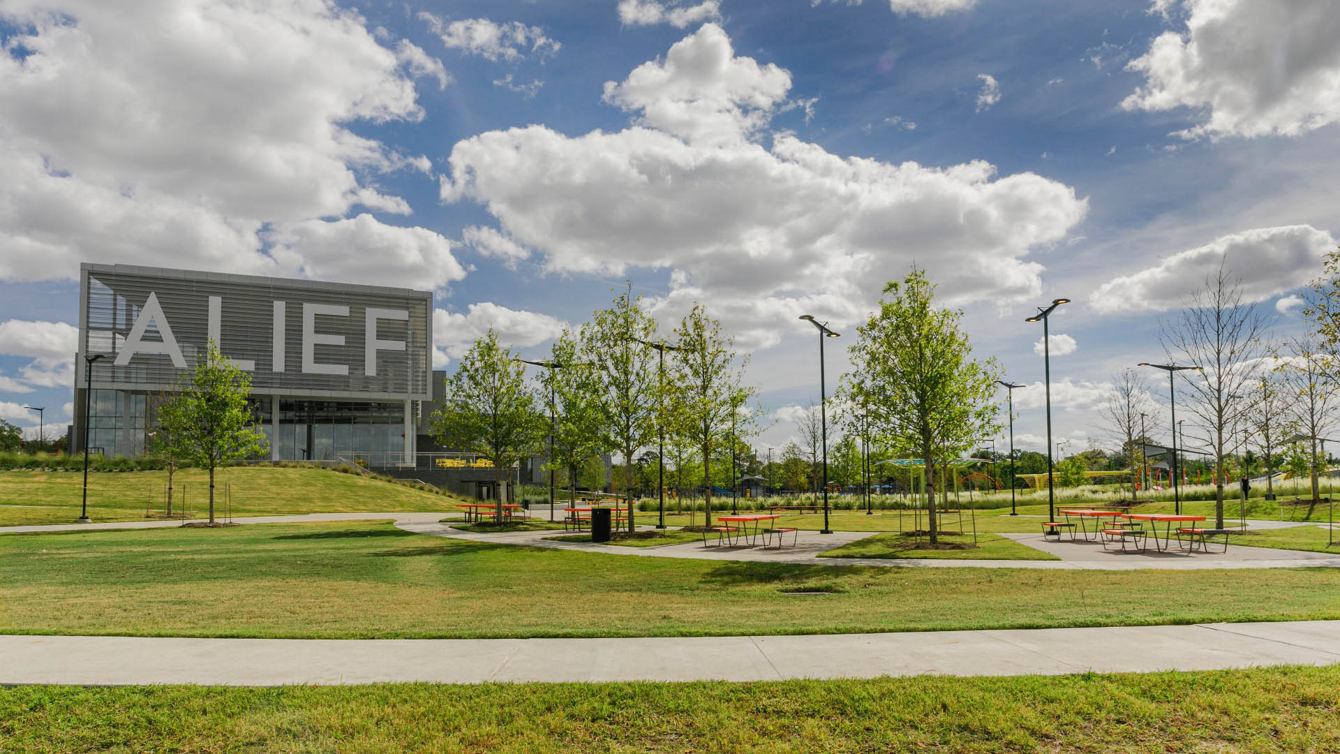
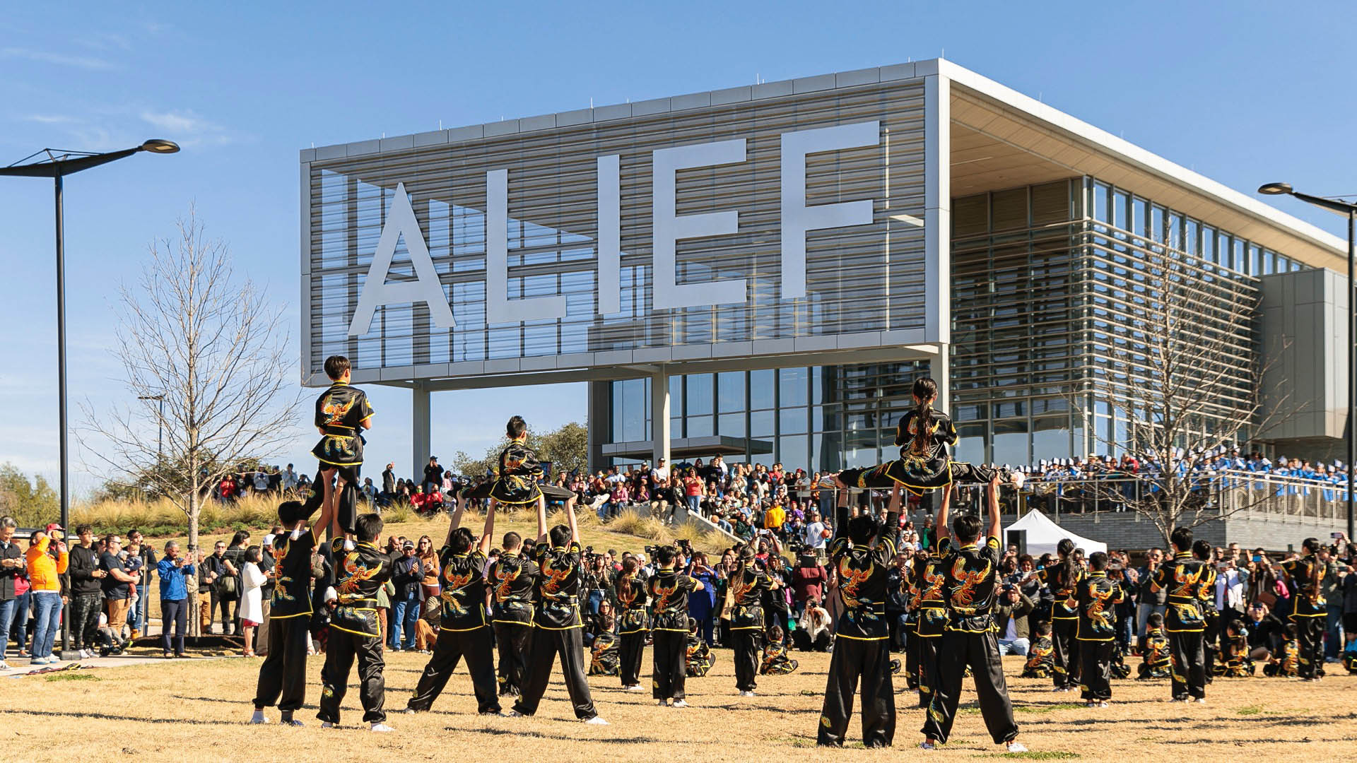
Elevated above the 100-year floodplain, the Center unites four city departments under one roof, creating a multifaceted community hub that functions as both a daily resource and disaster resilience center. The large, shaded porch serves as a flexible gathering space, embodying a “civic front porch” concept while maintaining street-level connectivity.
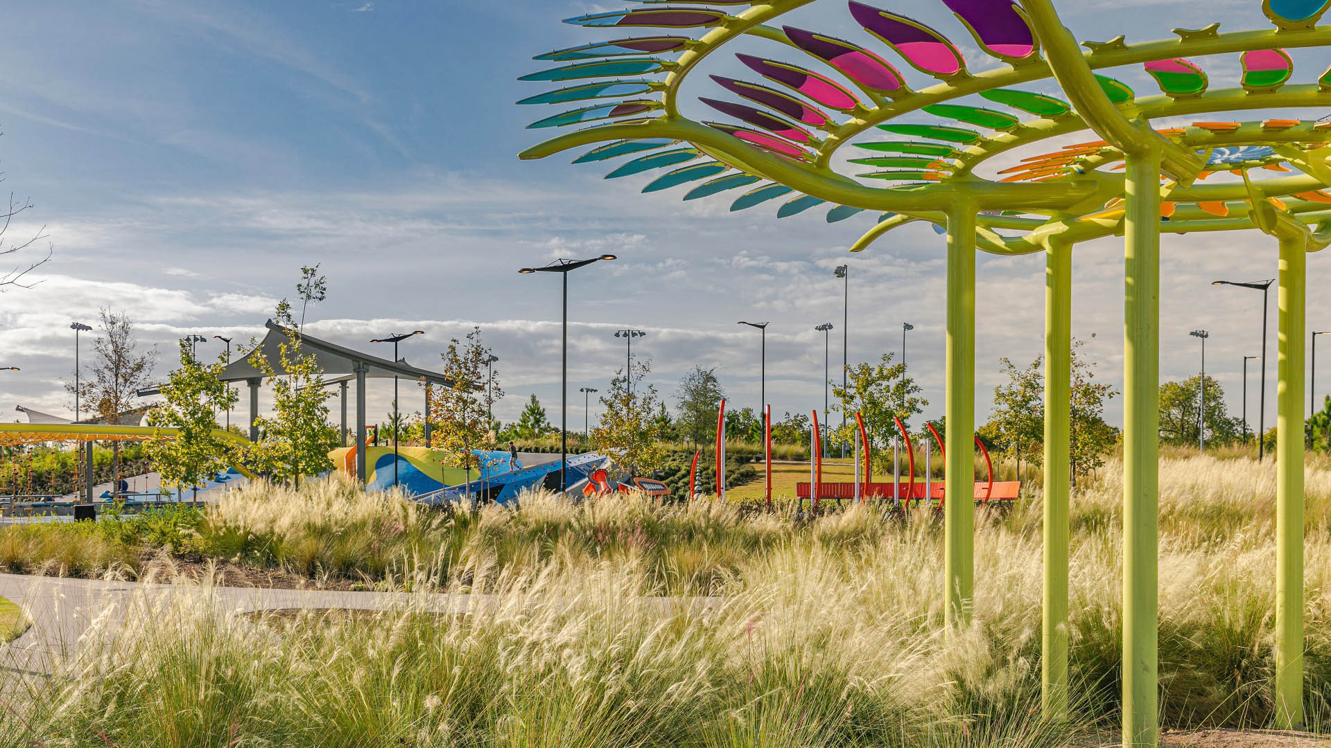
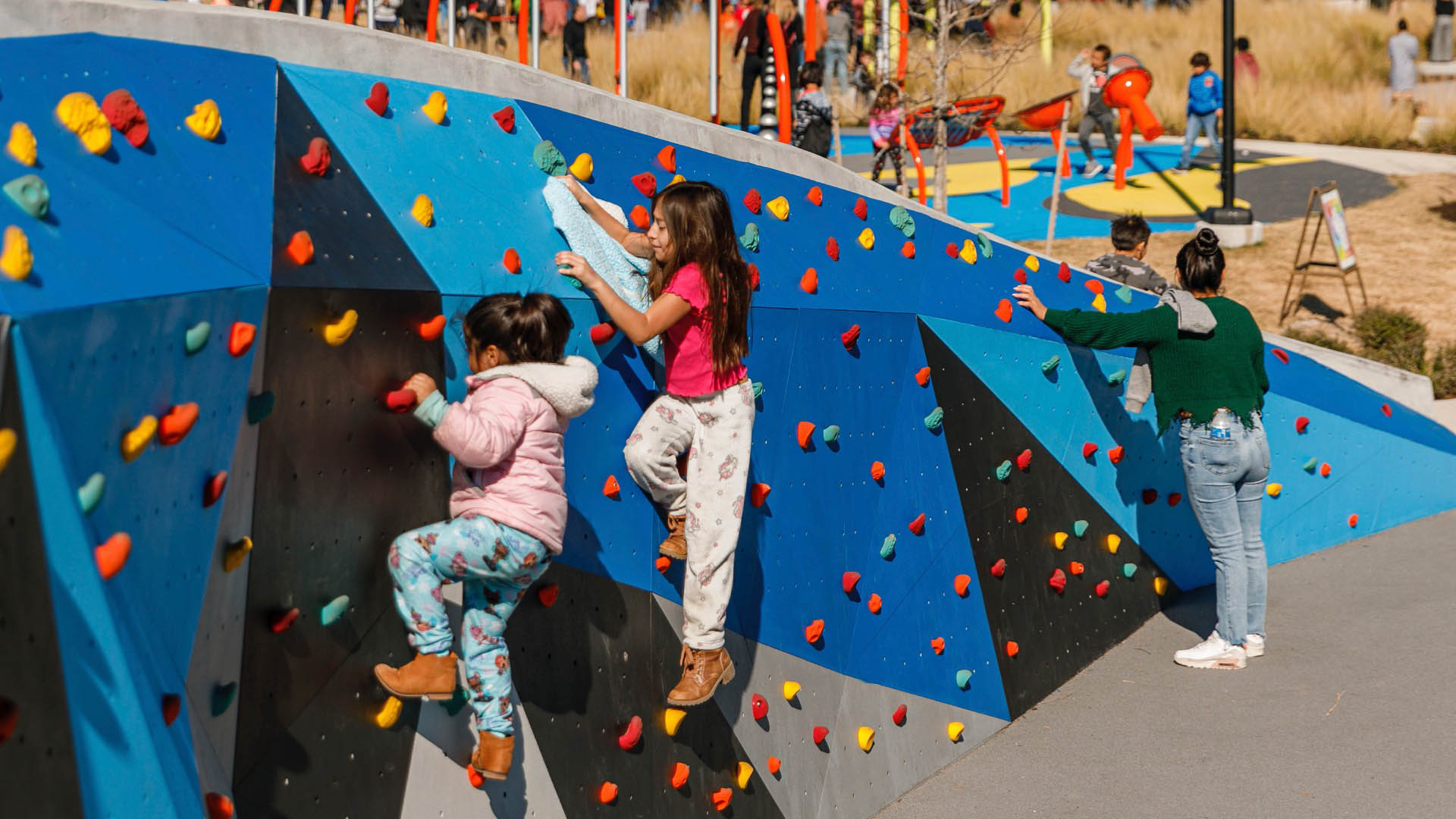
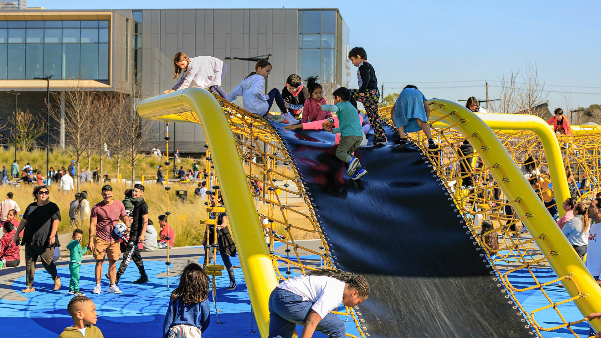
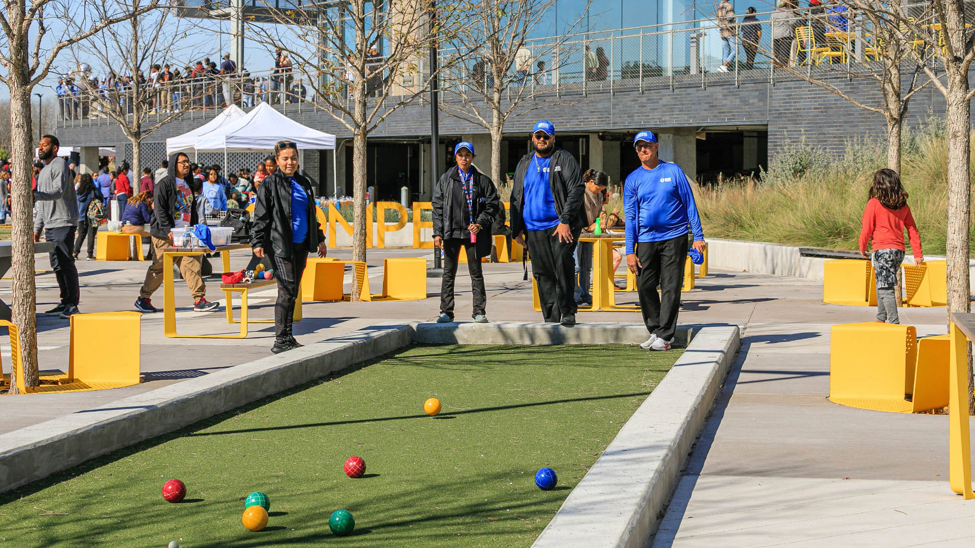
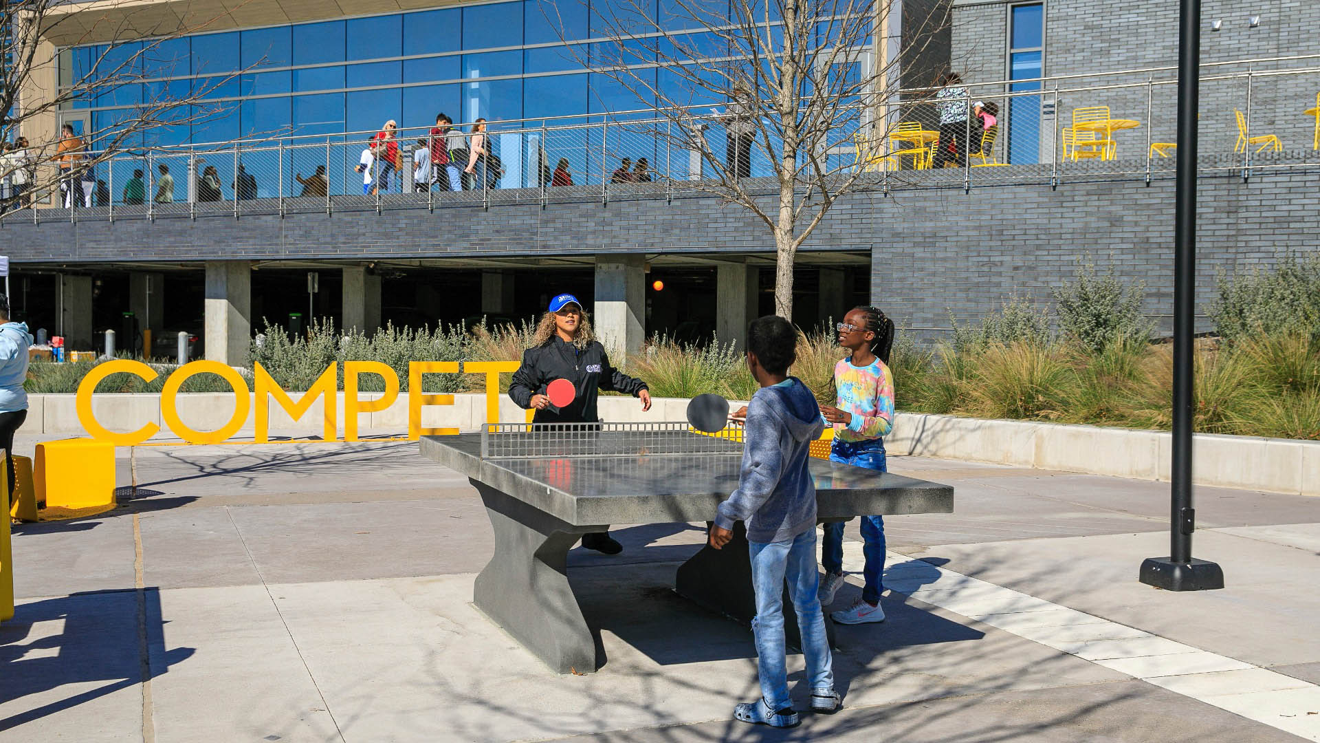
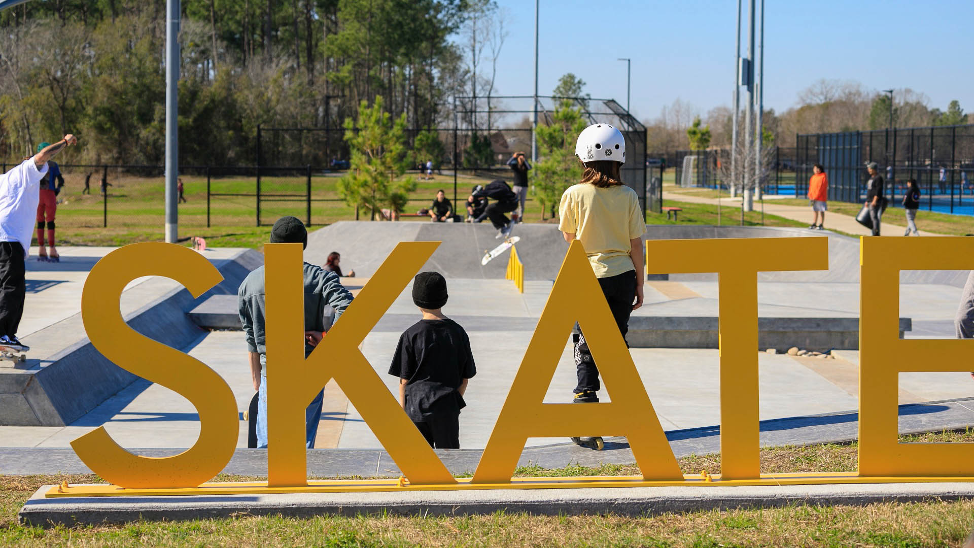
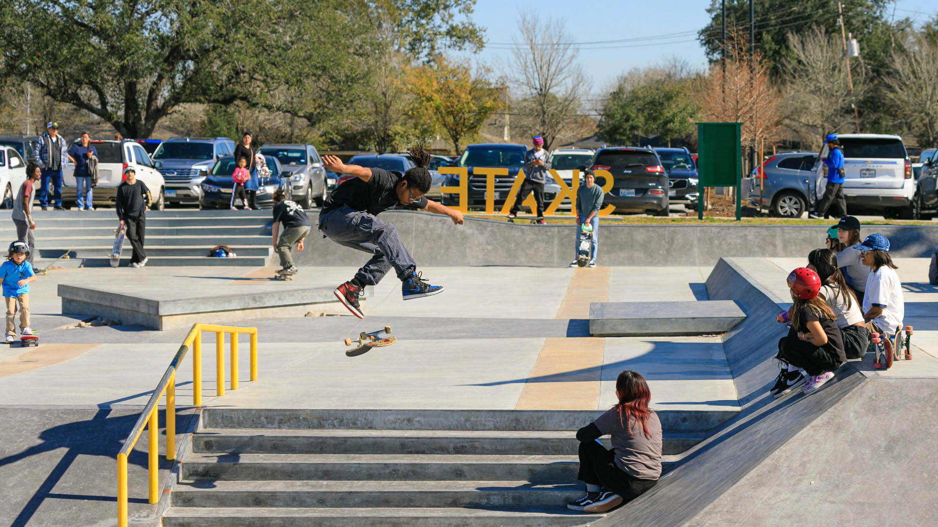
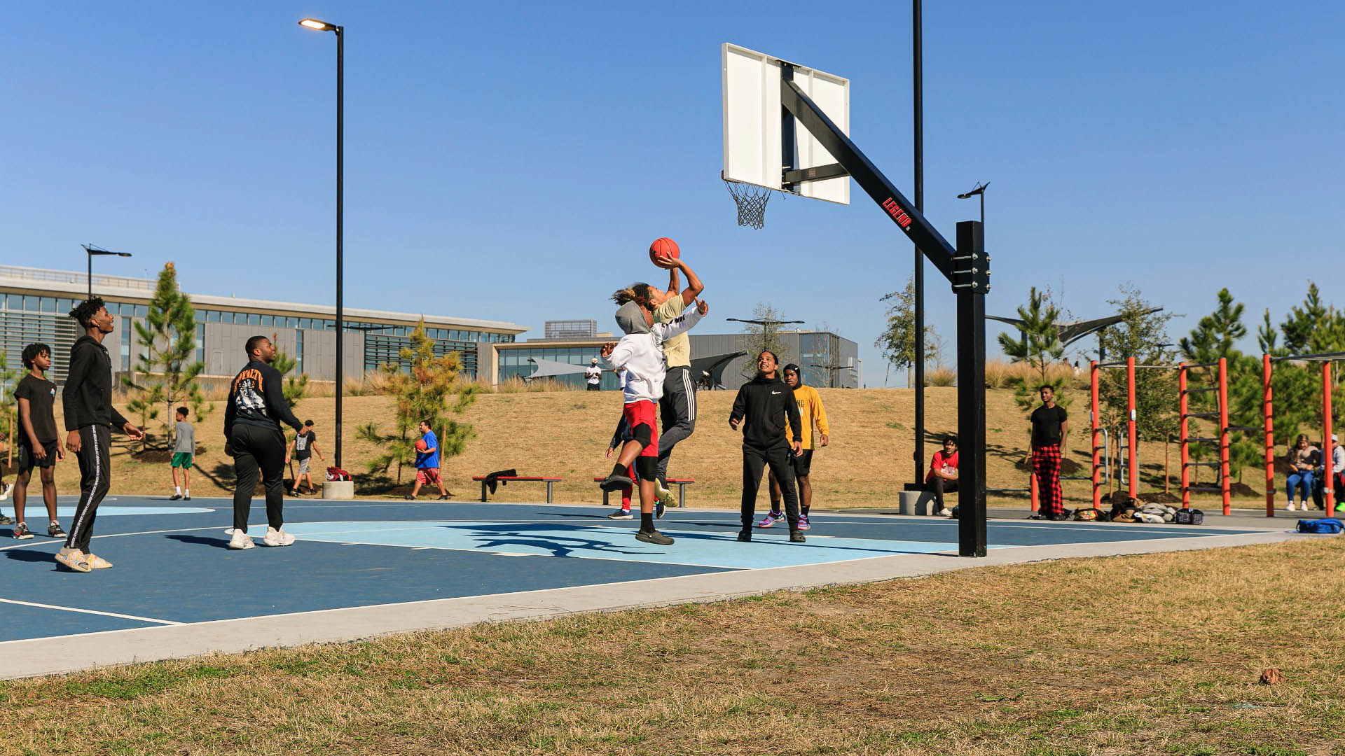
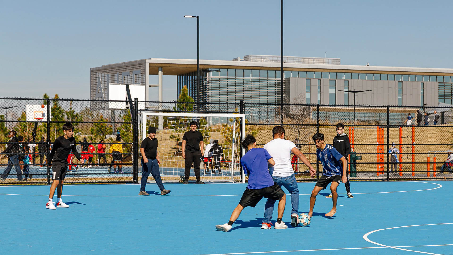
Forested basins and bioswales form a natural necklace to manage stormwater, while preserved woodlands and native plantings combat the urban heat island effect. The multi-generational community enjoys diverse recreational facilities, including playgrounds, sports courts, a skate park, and a public pool. Unique features enhance the site’s appeal, such as a wheelchair-accessible community garden, Houston’s first park climbing wall dubbed “Mount Alief,” and a network of trails connecting various “outdoor rooms” designed for workouts, events, and educational classes.
As cities worldwide confront climate change and social inequality, the Alief Center demonstrates how infrastructure investments can address multiple urban challenges. As the first key hub in Houston’s Resilience Master Plan, its performance in disaster scenarios and long-term community outcomes will inform future climate strategies across the city.
SIPG Harbor City Parks
This new riverfront development is located on the Yangtze River in the Baoshan District of Shanghai. This area boasts some of the highest shipping activity in the world. However, in recent years this single-function industrial zone has given way, allowing for waterfront parks to develop. Within this historically layered water front the Baoshan Park and Open Sp...
Martin Luther King Jr. Square Water Quality Demonstration Park
The City of Conway received local and federal grants to create a water quality demonstration park in a flood-prone, one-block area of its downtown to educate the public about Low Impact Development (LID) and Green Infrastructure (GI) methods and how they can enhance water quality. The project transformed a remediated brownfield site, ...
San Jacinto Plaza
SWA’s redesign of San Jacinto Plaza, a historic gathering place in El Paso’s downtown business district provides a state-of-the-art urban open space, while protecting and celebrating the history and culture of the site. The project was the result of an intensive community process involving input from a wide range of constituents. Active programming, environmen...
Guthrie Green Park
Guthrie Green transforms a 2.6-acre truck yard into a lively urban park in the heart of downtown Tulsa’s emerging arts district. Opened in September 2012, Guthrie Green has become the area’s leading destination, drawing 3,000 plus people weekly to activities that have enriched the urban experience and spurred district-wide revitalization. The high-performance ...


