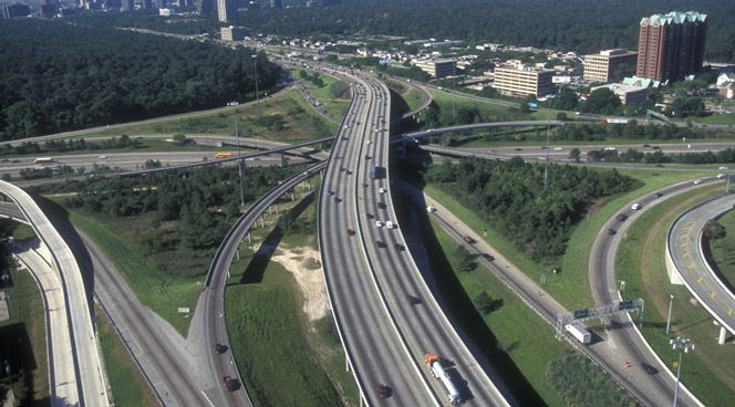
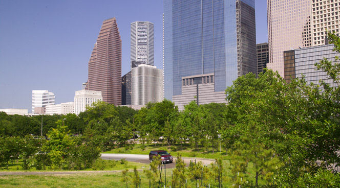
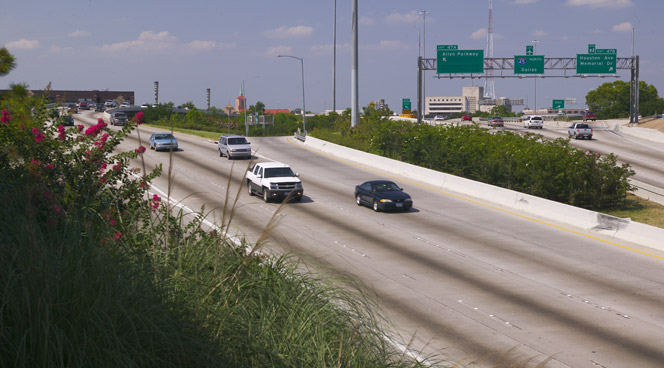
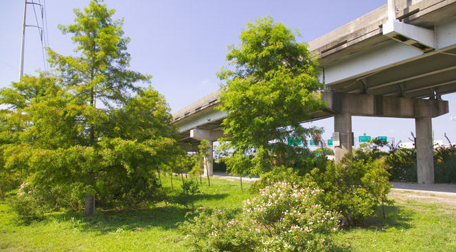
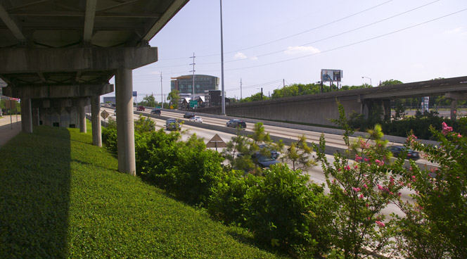
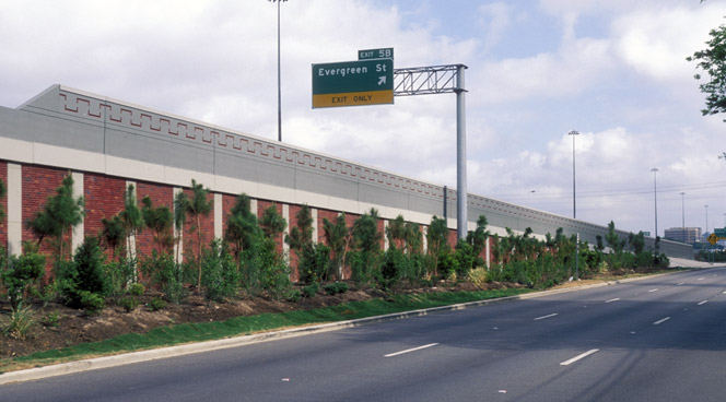
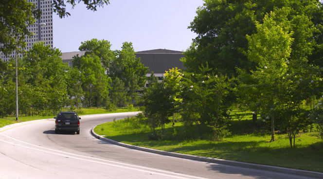
The Green Ribbon establishes strategies for corridor aesthetics and landscape enhancements along Texas highways surrounding Houston. This plan addresses existing infrastructure and future expansion needs of the growing urban area.
The project focuses on intensive landscape plantings and architectural treatments, improving aesthetics while addressing air quality and stormwater management concerns. The framework allows for large-scale improvements across a regional transect, accommodating local variation while maintaining cohesive standards.
A key achievement is the planting of over 2 million trees, enhancing the urban canopy. The plan’s flexibility enables local sub-districts to implement further enhancements through funding agreements with partners. The master plan serves as a living document, providing TxDOT with a foundation to incorporate evolving standards for Houston’s transportation infrastructure needs.
The Landscapes of Wuhai
The Inner Mongolian city of Wuhai is transforming from focusing on coal mining as its main industry to tourism. This very special place has many different, striking landscape types located within just 1666 sq. kilometers: sand dunes, mountains, and wetlands, plus adjacency to the Yellow River. Consequently, the city has decided to boost its tourism. Already pl...
ARTIC – Anaheim Regional Transportation Intermodal Center
ARTIC, the new 16-acre Anaheim Regional Transportation Intermodal Center in Southern California, forms a seamless gateway from Anaheim to all of Orange County, spurring economic growth and community redevelopment throughout the region. The landscape design establishes a unique and identifiable image for the ARTIC Mixed-Use District by complementing the site’s ...
Sonoma State Weill Lawn & Commons
Weill Lawn and Commons provide outdoor performance venues at Green Music Center, a world-class performing arts complex. The landscape architects prepared overall master planning and landscape architectural design. A simple, dramatic grading plan unifies project elements, directs circulation, and buffers concert venues from adjacent roadway traffic. Weill Lawn...
Nanhu New Country Village
China’s rapid urbanization over the past several decades has radically diminished its agricultural landscapes and labor force, focusing instead on industrial and technological advancements. The Nanhu New Country Village brings a contemporary approach to integrating agriculture and residences in a village setting, enhancing existing rural character, and improvi...


