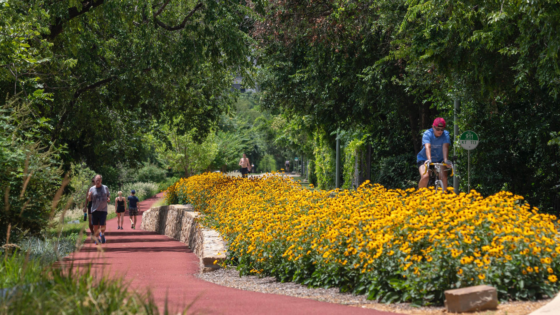
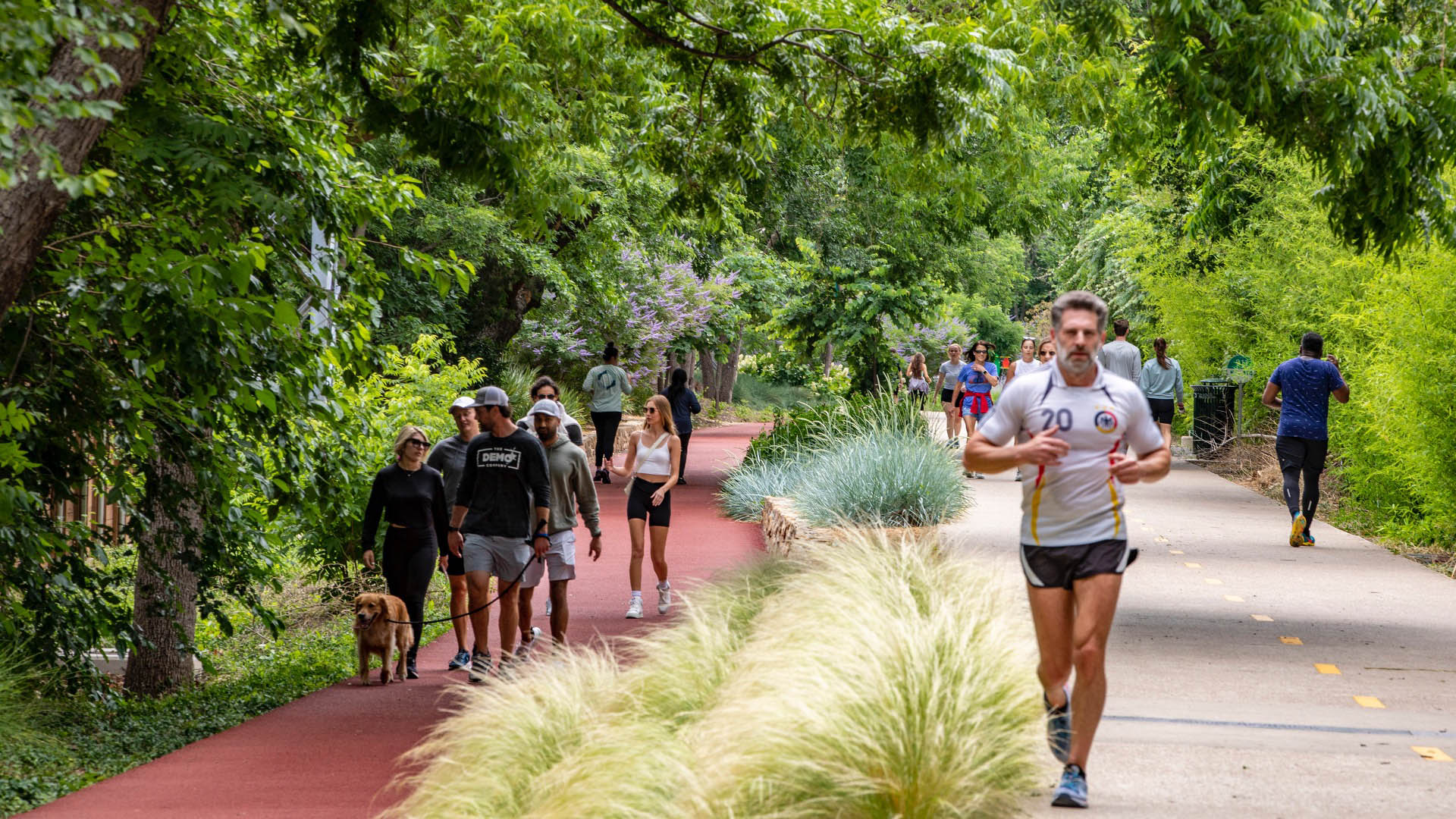
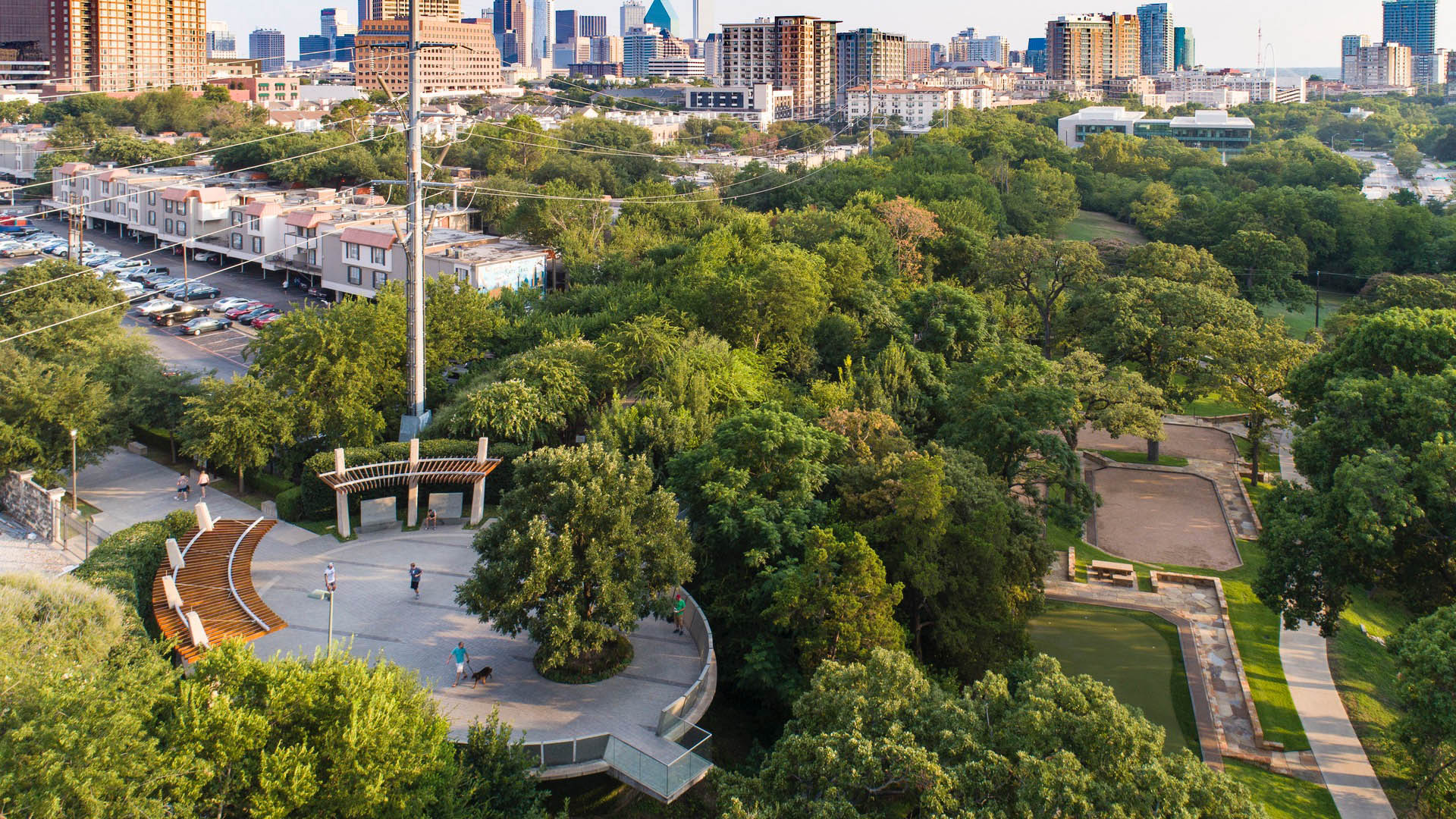
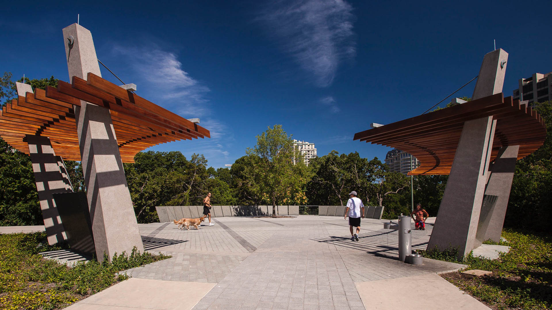
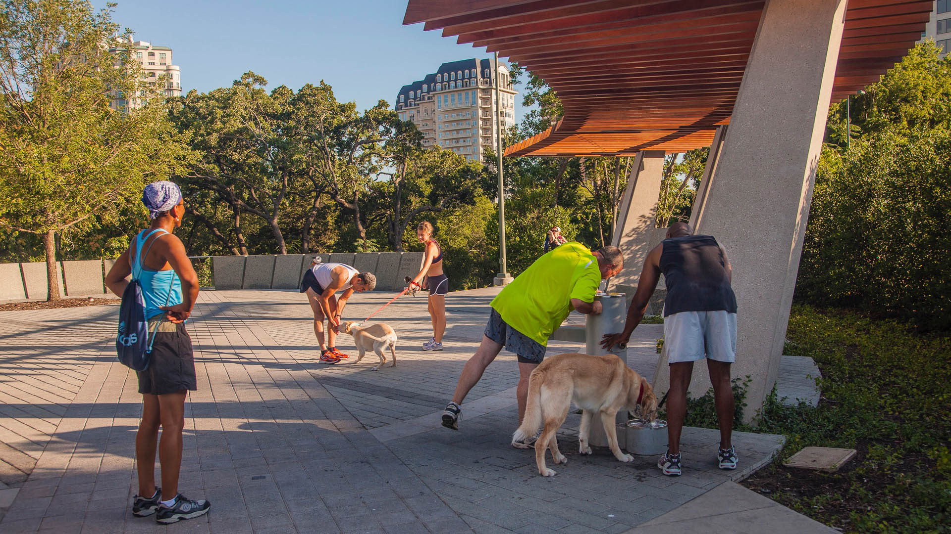
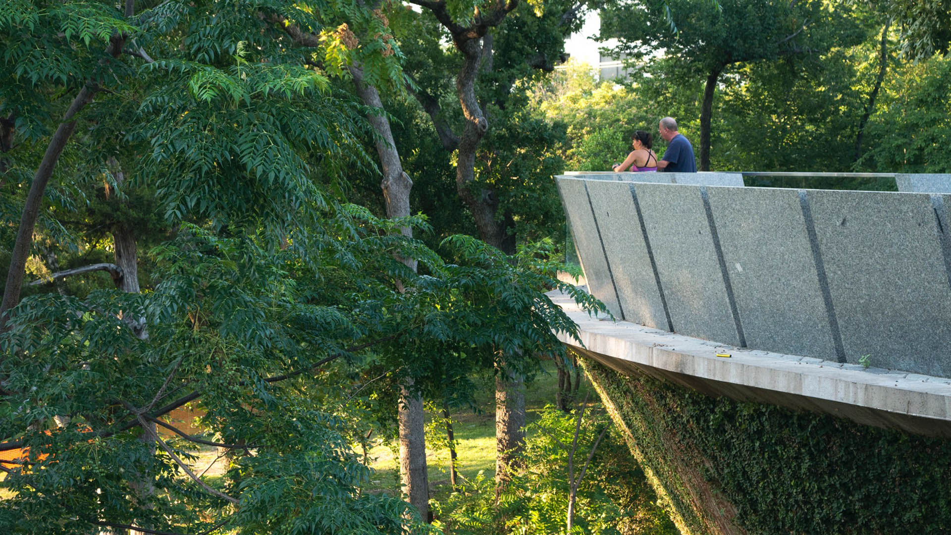
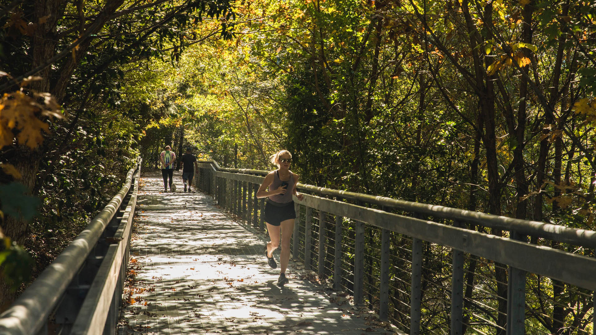
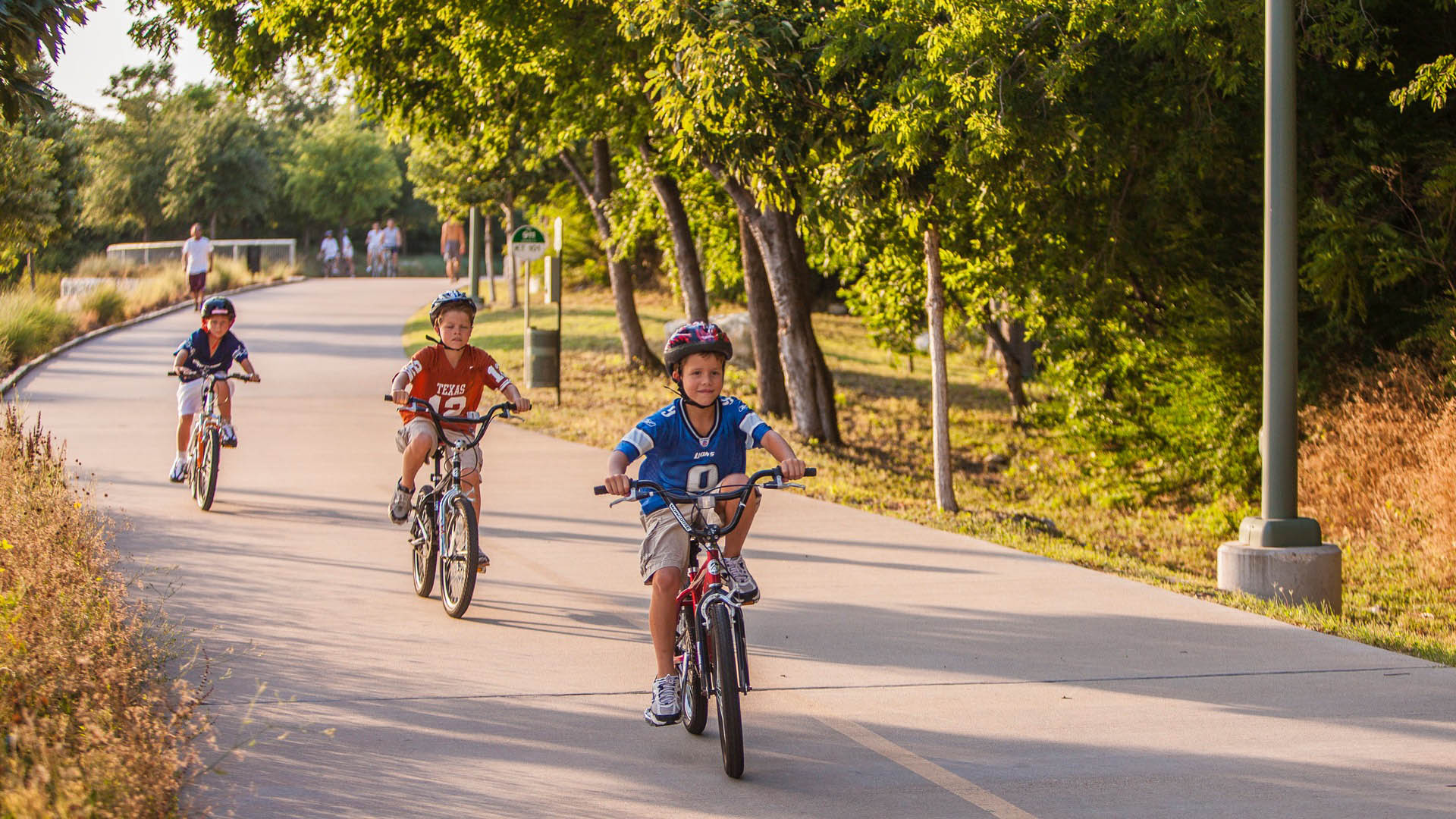
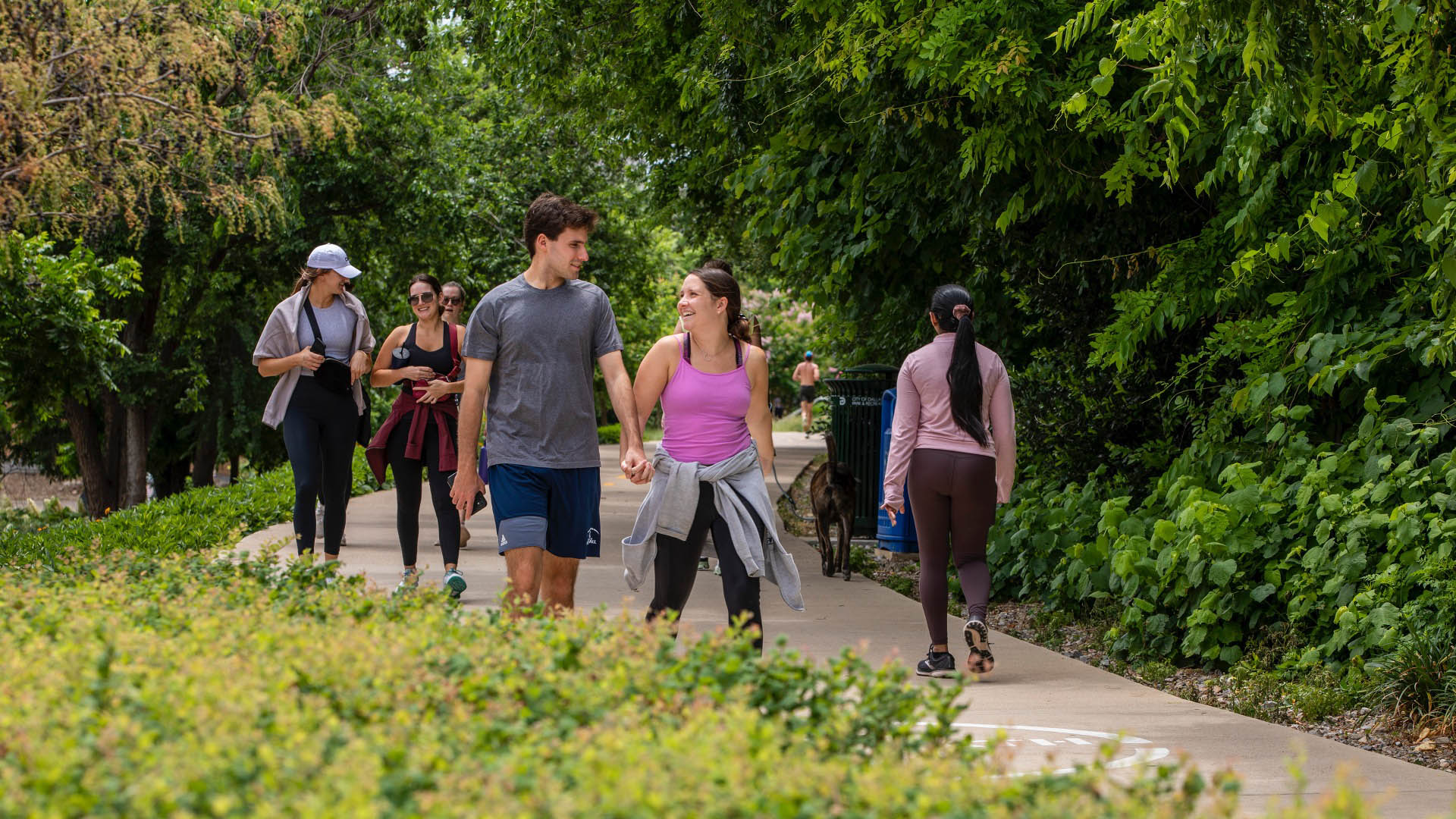
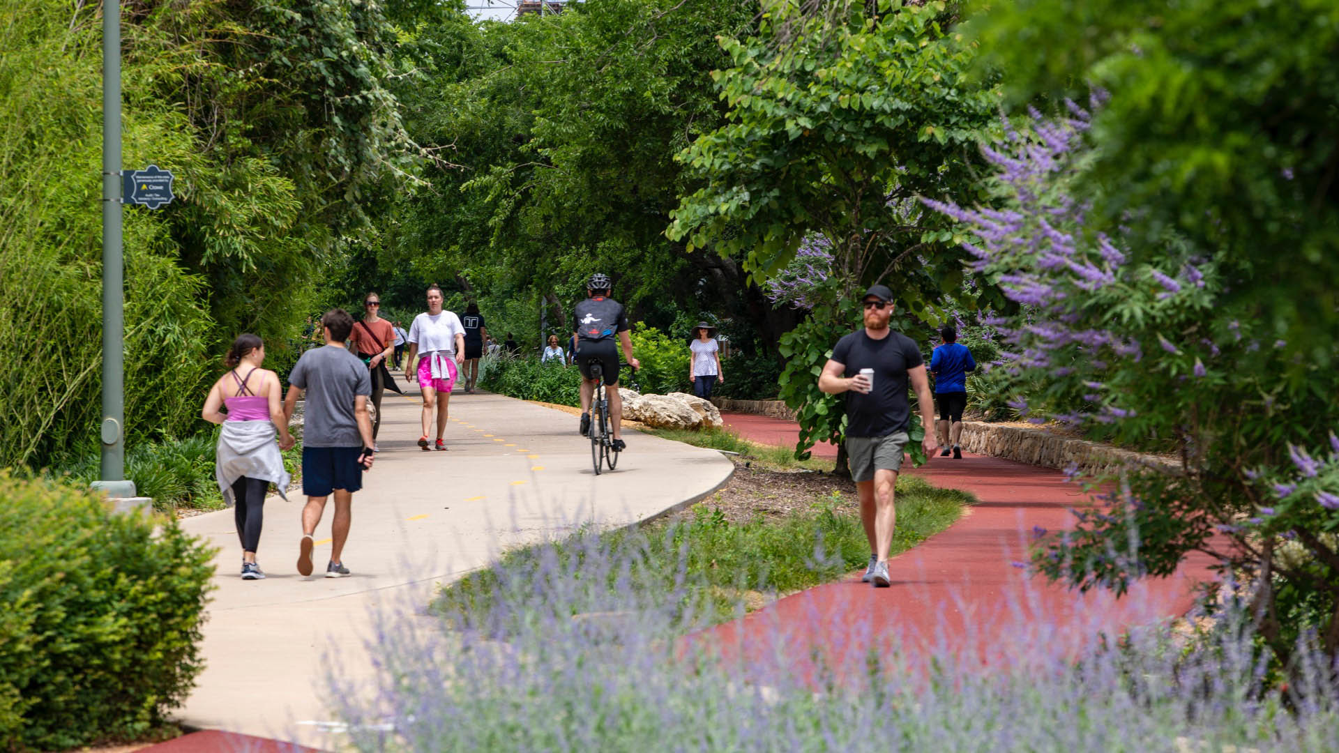
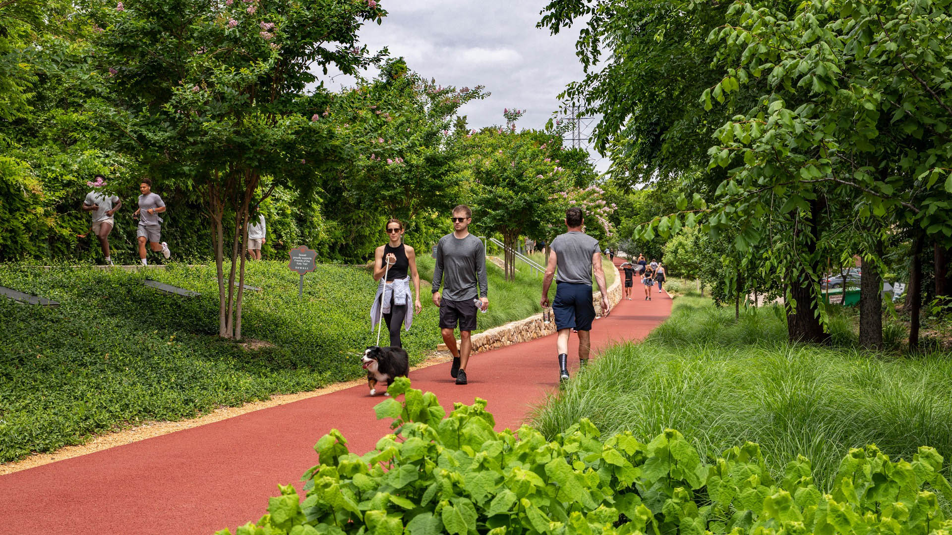
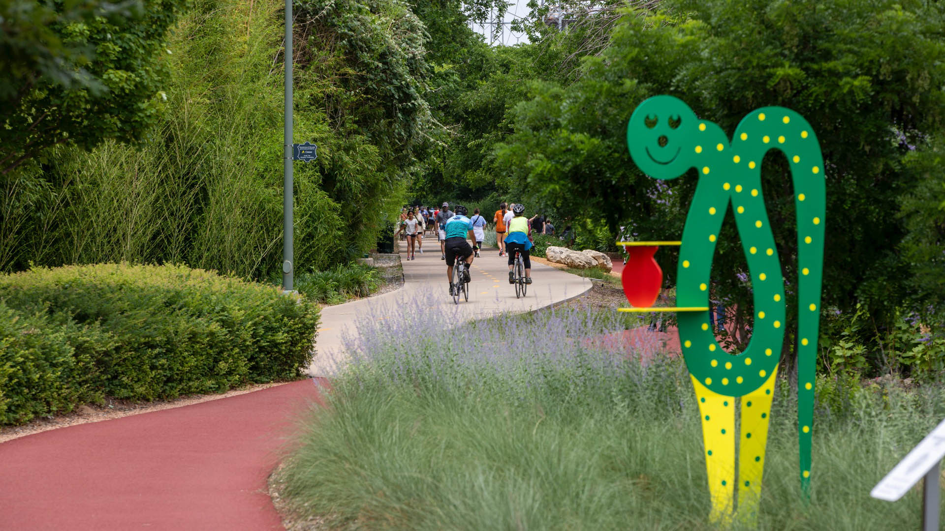
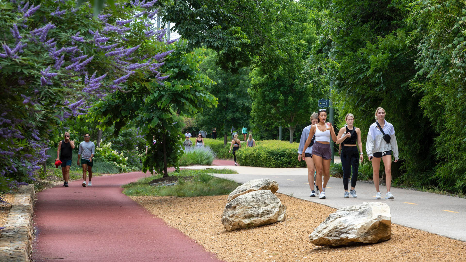
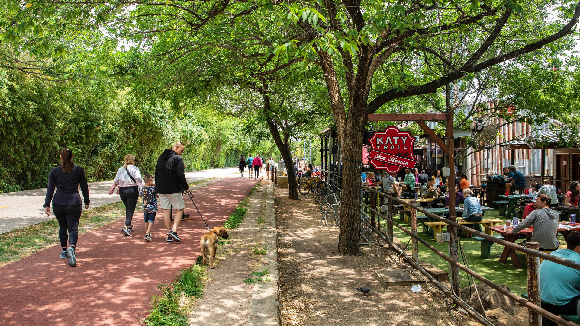
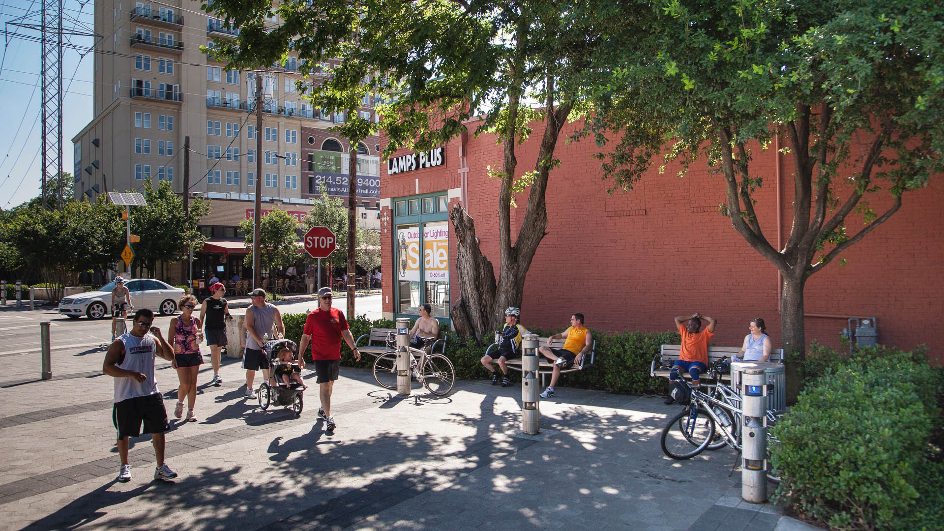
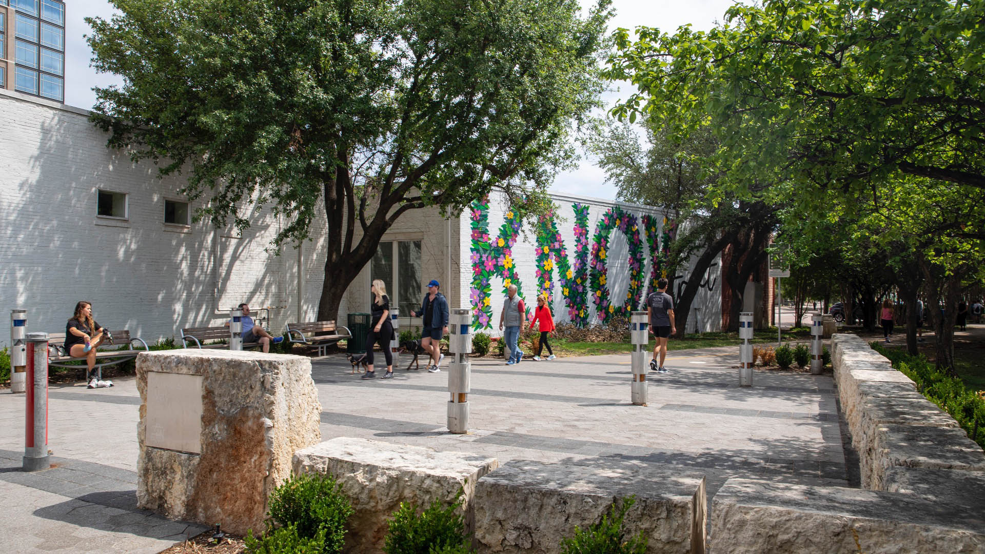
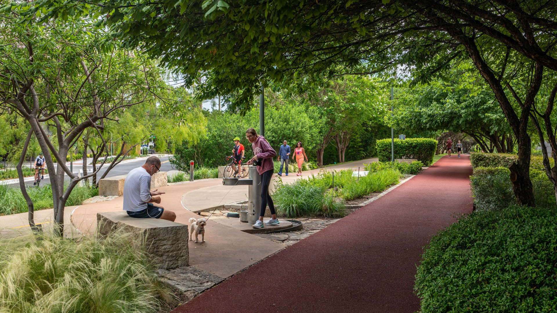
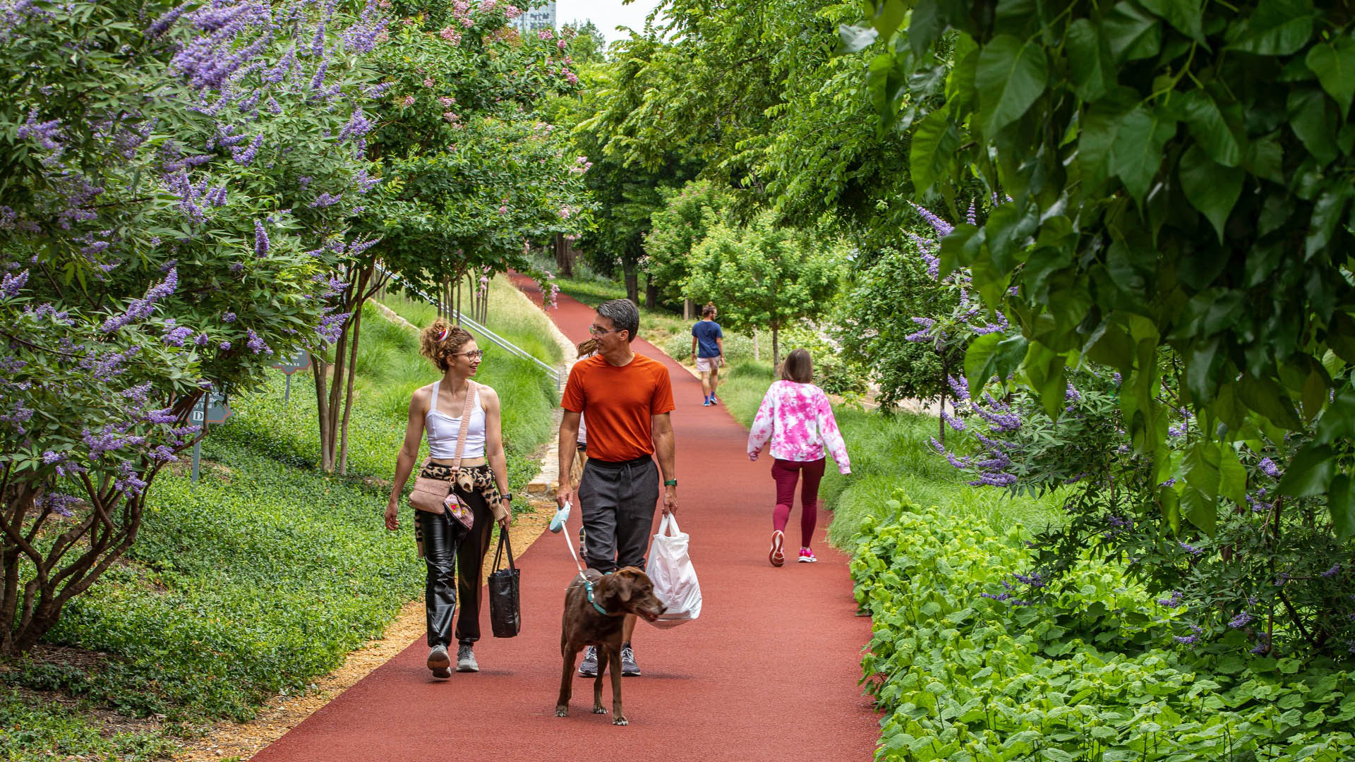
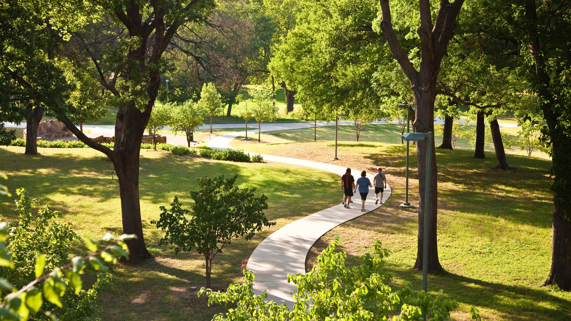
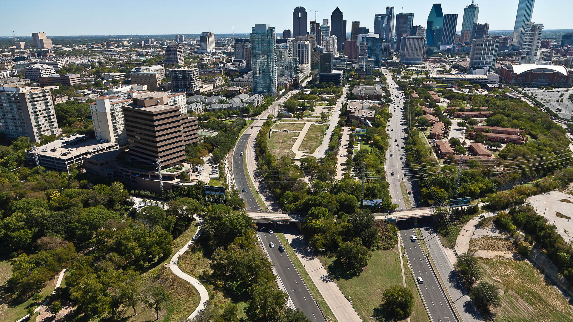
Katy Trail represents a remarkable resource for the residents of the Dallas Fort Worth region. This project enlivens and makes accessible right-of-way established by the storied, but later abandoned, Missouri-Kansas-Texas (better known as the “Katy”) line, and serves as a unifying element for the surrounding neighborhoods. Katy Trail provides approximately 3.5 miles of intercity bicycle and pedestrian trail, resulting in a transportation and recreational corridor for jogging, passive nature interpretation and walking. The trail links approximately 20 neighborhood areas to the Central Business District, the American Airlines Center and Southern Methodist University. Active integration of legacy establishments and involvement with the neighboring communities were part of an ongoing process that enhanced the project’s success.
Bend of the River Botanic Garden
The Bend of the River Botanic Garden Master Plan will transform an 88-acre site in Temple, Texas, into a regional destination. Located at the southeast quadrant of the intersection of interstate I35 and the Leon River, the site is composed of two parcels separately donated to the City of Temple and consolidated into a single property. Public engagement was cr...
Tangqiao Waterfront Park
The Tangqiao project is located along the east bank of Huangpu River in the city of Shanghai. The project consists of landscape areas in three financial-office parcels and one waterfront park parcel. The view of the site is remarkable, looking toward the landmark skyscrapers of Lujiazui Financial Center, Nanpu Bridge, the Bund, and the future Minsheng CBD.
...Baton Rouge Lakes
The 275-acre Baton Rouges Lakes system is a series of six lakes in central Baton Rouge adjacent to Louisiana State University, three major parks, and a diverse mix of neighborhoods. Recognizing opportunity in crisis, a newly funded master plan provides sound ecological restoration methods that will heal a dying lake system while reconnecting the region to its ...
Buffalo Bayou Smith to Travis Streets Trail Segment
This effort in Downtown Houston extends the Buffalo Bayou trail system eastward with the Smith to Travis Trail, connecting two historically significant sites: Sesquicentennial Park and Allen’s Landing, where the city was founded. It is a technically challenging segment located twenty feet below street level that traverses under multiple roadway bridges crossin...


