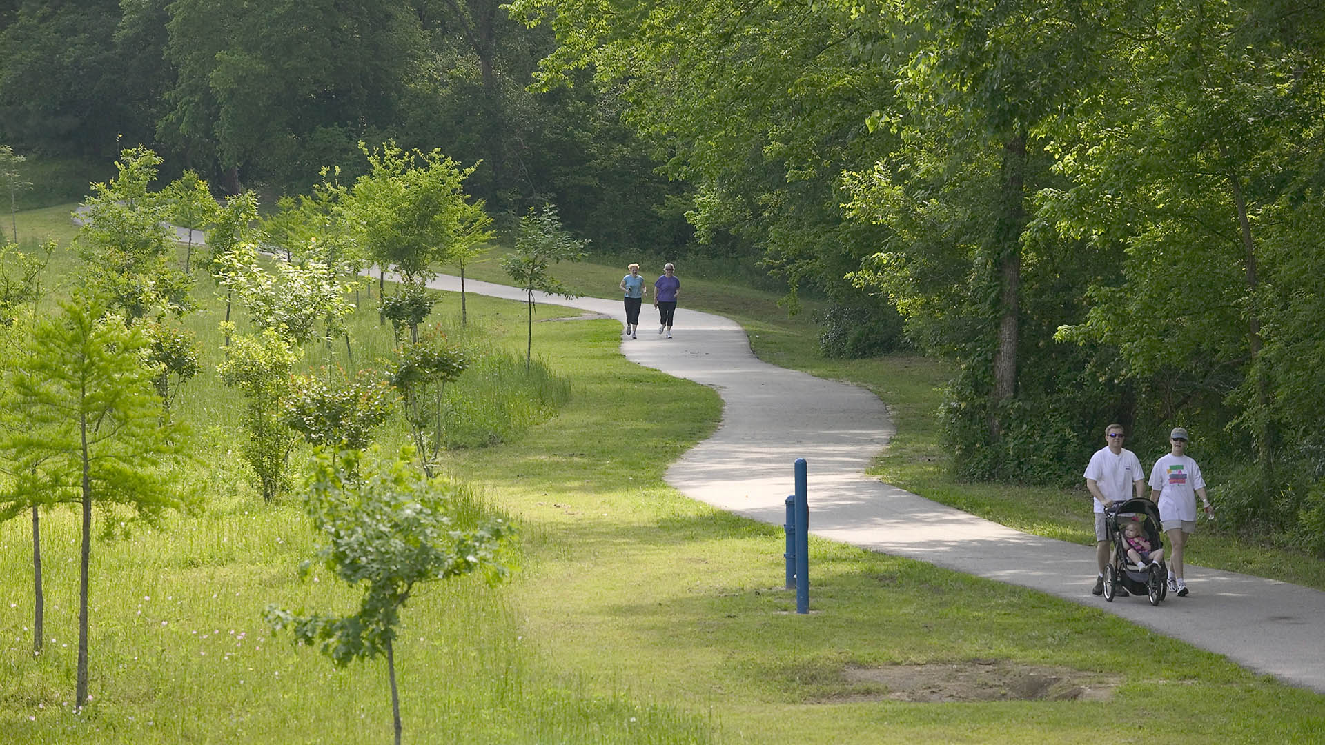
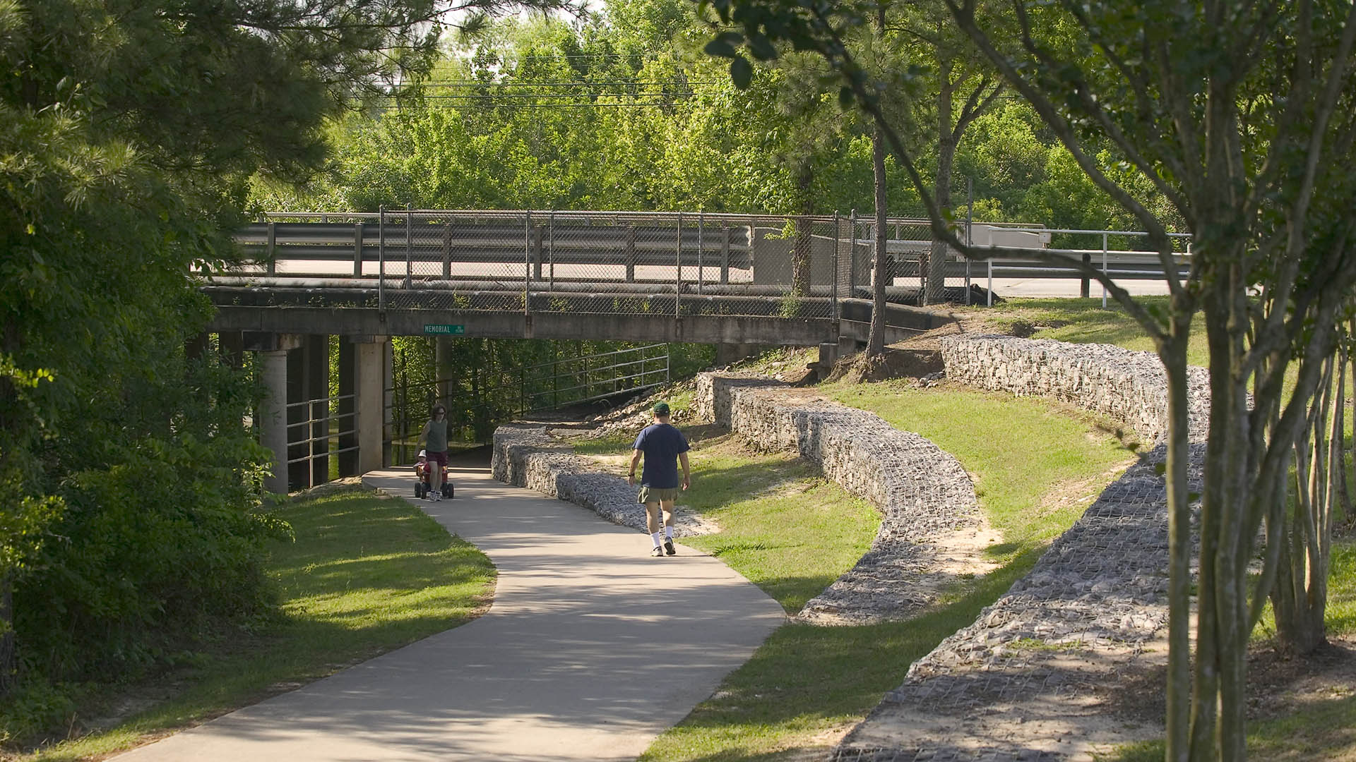
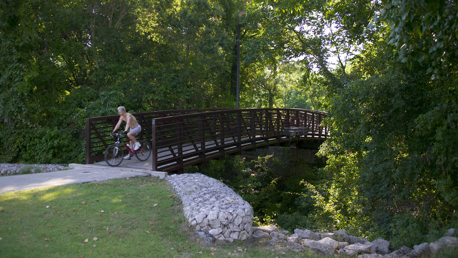
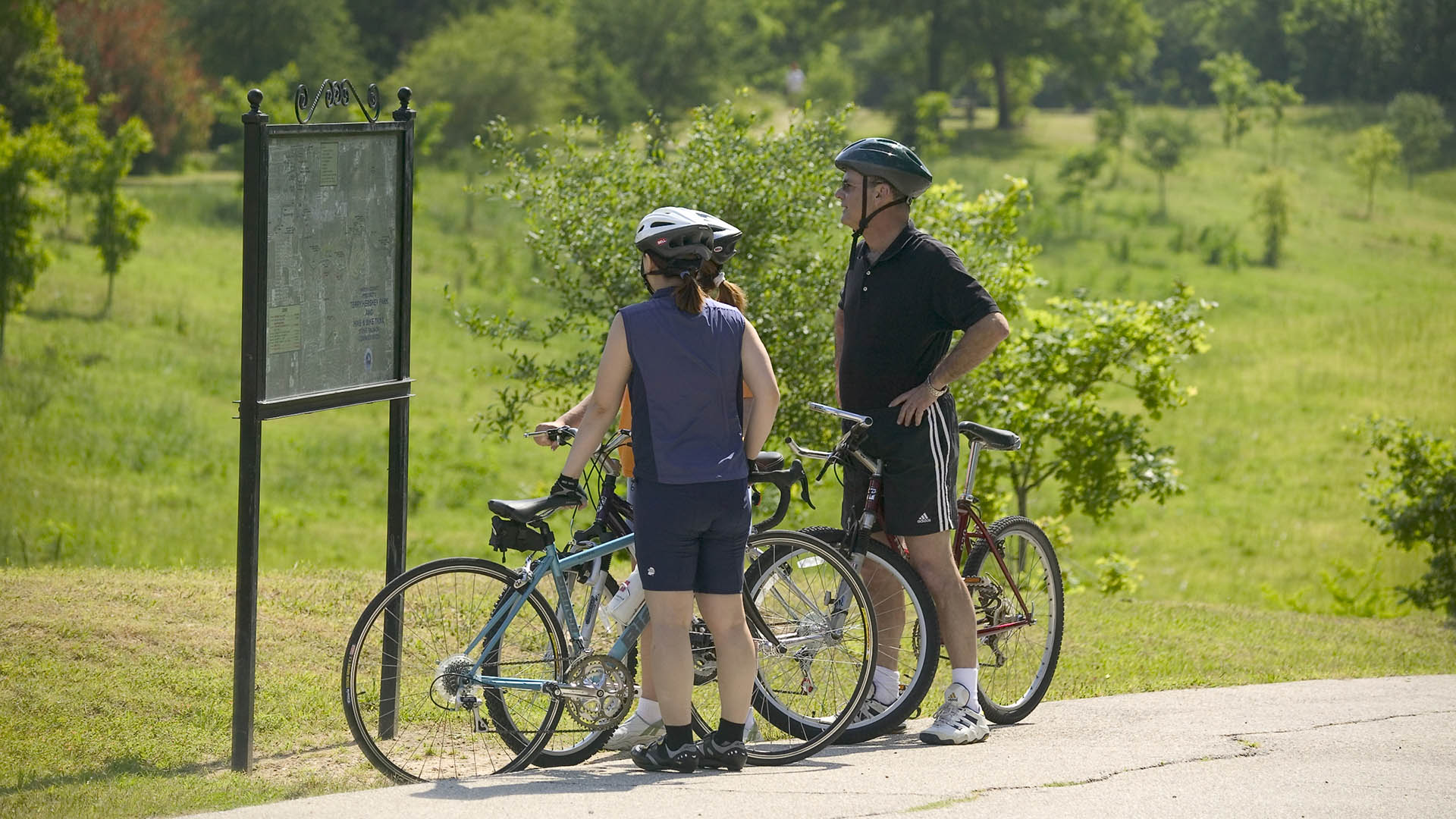
The park design includes a one-mile hike and bike trail system, a pedestrian underpass linking the park to an existing trail system, bridges over the creek, and automobile parking. Gabions were used as an environmentally friendly means of slope retention in a floodway and as a tool for creating places for people to enjoy the wooded environment. Sinuous banks and vegetation masses soften the edges and a trail meandering through stands of pine and oak replaces the former service road. Meadow areas for passive recreation are found in the center of the site while edges are allowed to grow up in shrubs and trees. The project required coordination and approval of Harris County Flood Control District, the U.S. Army Corps of Engineers, Houston Lighting and Power, the City of Houston, and three pipeline interests.
Riverside Park South
Located on the West Side of Manhattan on the scenic Hudson River shoreline, Riverside Park South is a massive, multiphase project of sweeping ambition and historic scope. Combining new green space, new infrastructure, and the renovation of landmark industrial buildings, the plan – originally devised by Thomas Balsley Associates in 1991 – is an extension of Fre...
Ningbo East New Town Eco-Corridor
SWA provided planning and design services for the 3.3km long, 250-acre metropolitan Ningbo Eco-Corridor, which transforms a former agricultural plain that had been taken over by industrial use into urban green infrastructure. Located in the heart of the Yangtze River Delta on China’s coastline, Ningbo is one of China’s oldest cities, with an area of 3,616 squa...
Palisades Park
Santa Monica’s famous pier area draws visitors who often disregard pavement boundaries and compact the landscape soil. Palisades Park, adjacent to the iconic pier, is a particularly active site for cyclists and tourists that has long been in need of a planting strategy to discourage pedestrian overflow into the landscape. SWA’s defensive planting strategy tack...
Marina Central Park
What if we transformed one of L.A.’s least used freeways into one of the county’s largest urban parks—reconnecting a historically divided community and drastically expanding affordable housing in an underserved district?


