

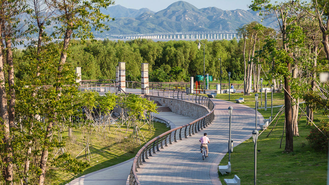
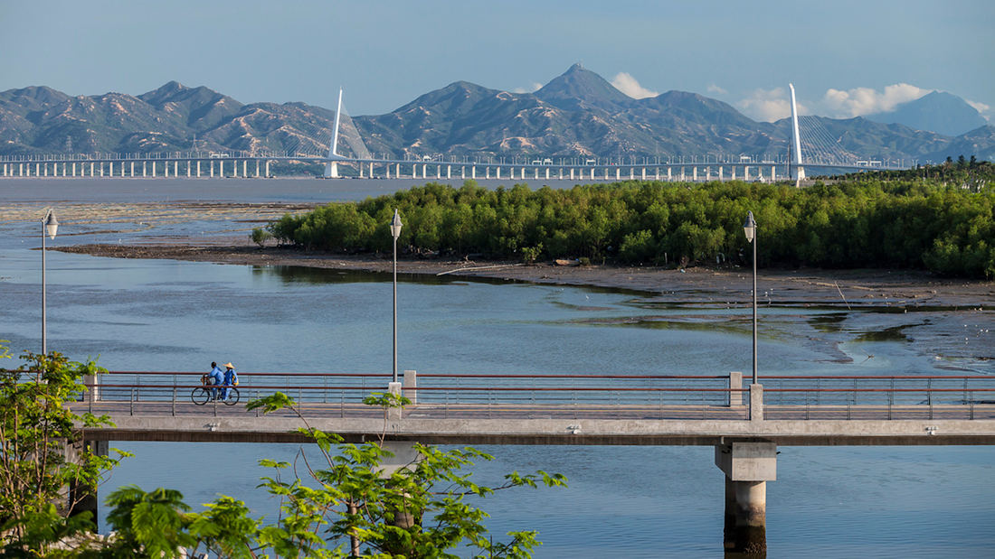
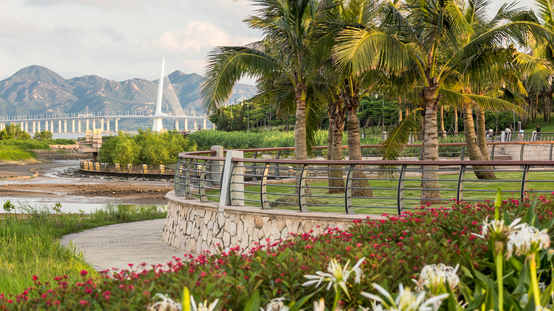
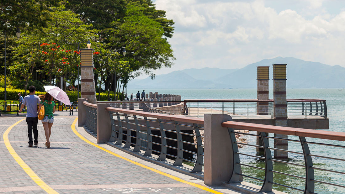
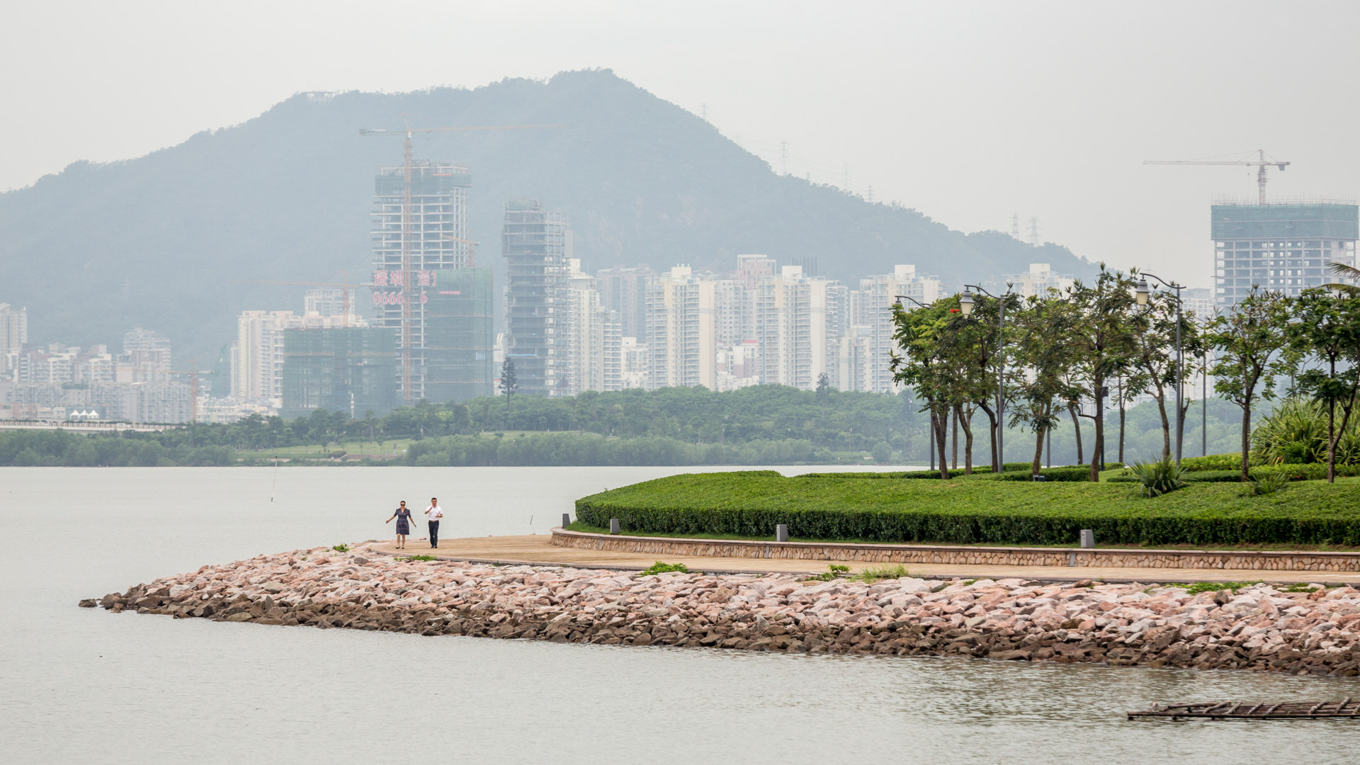
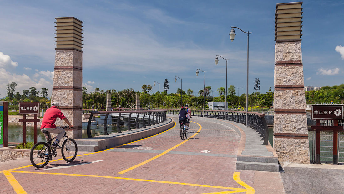
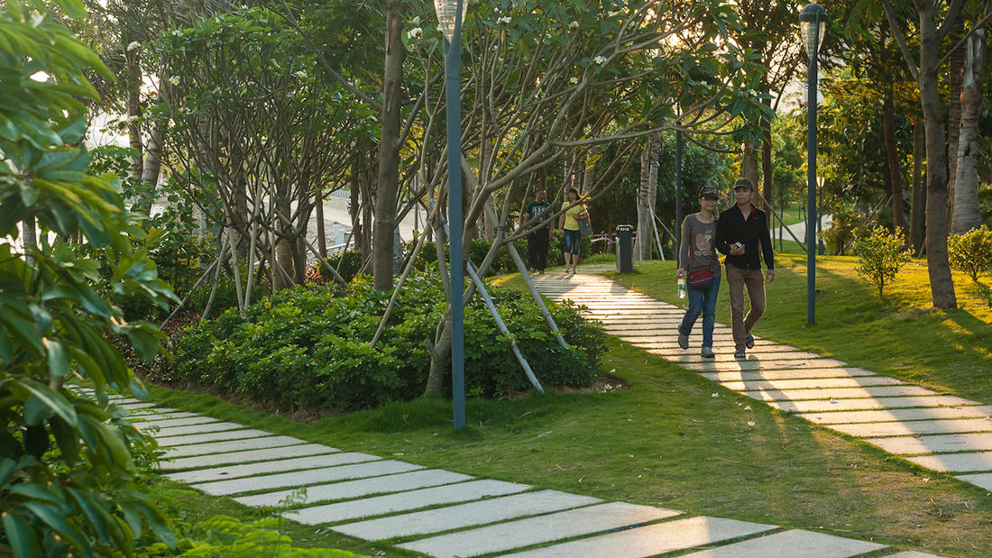
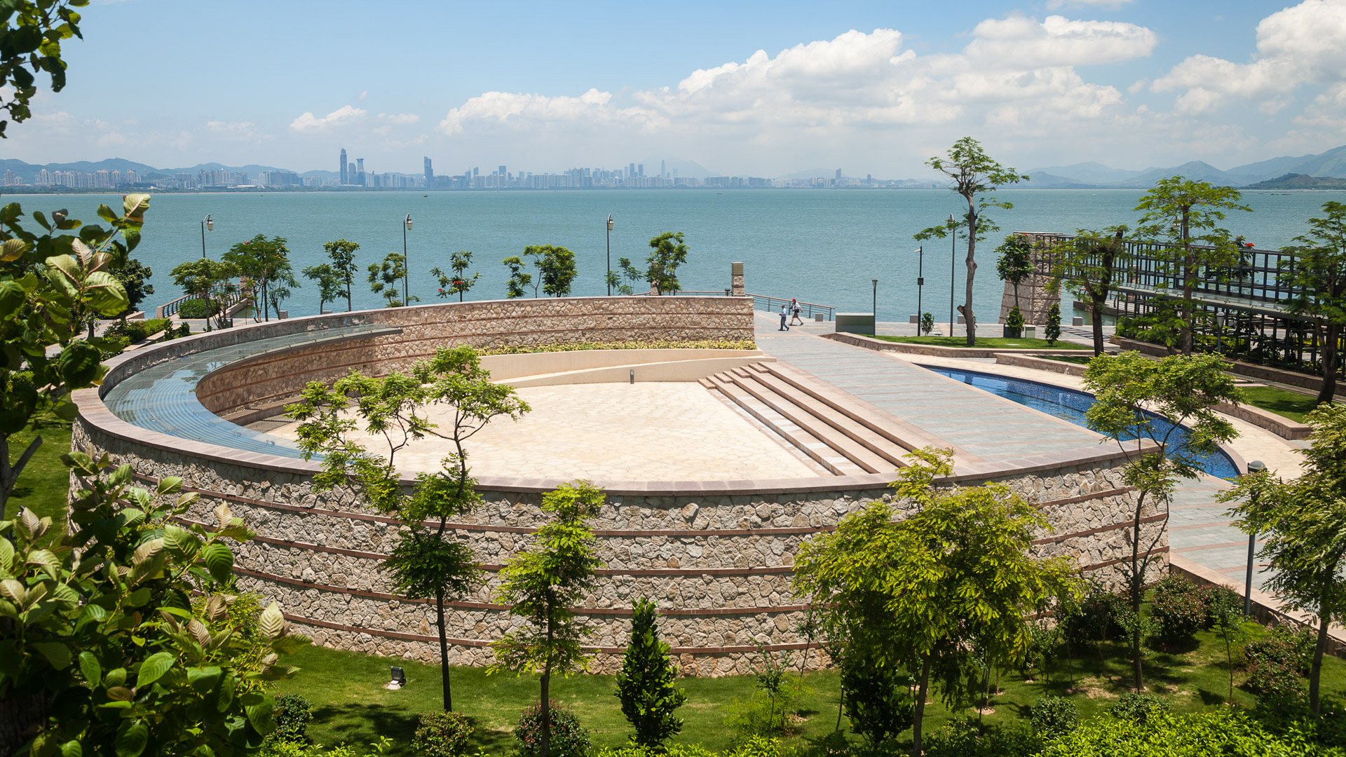
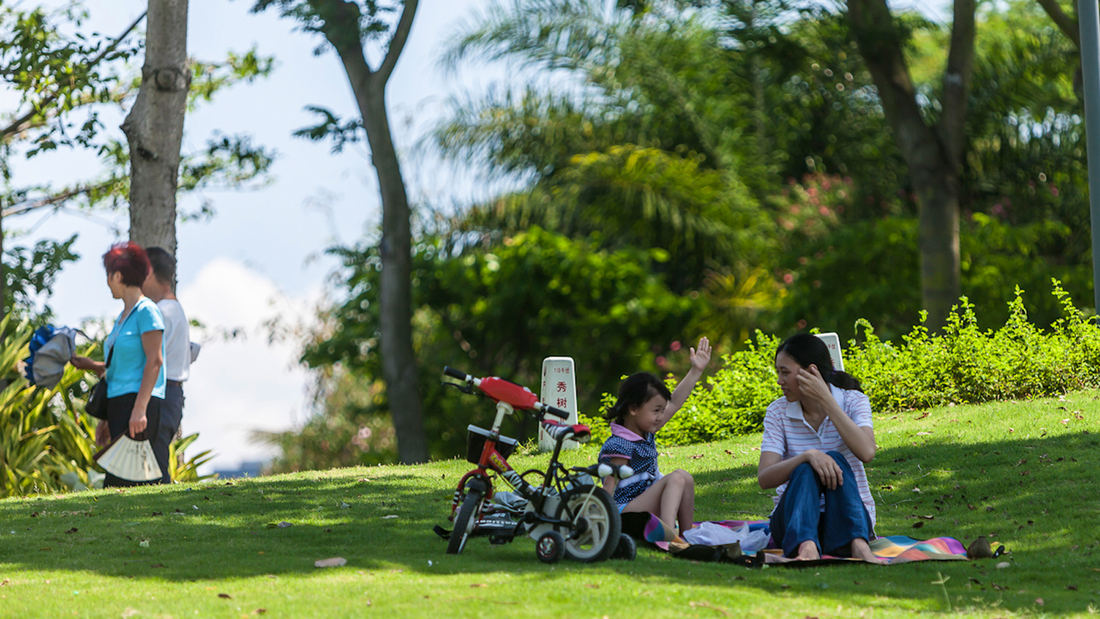
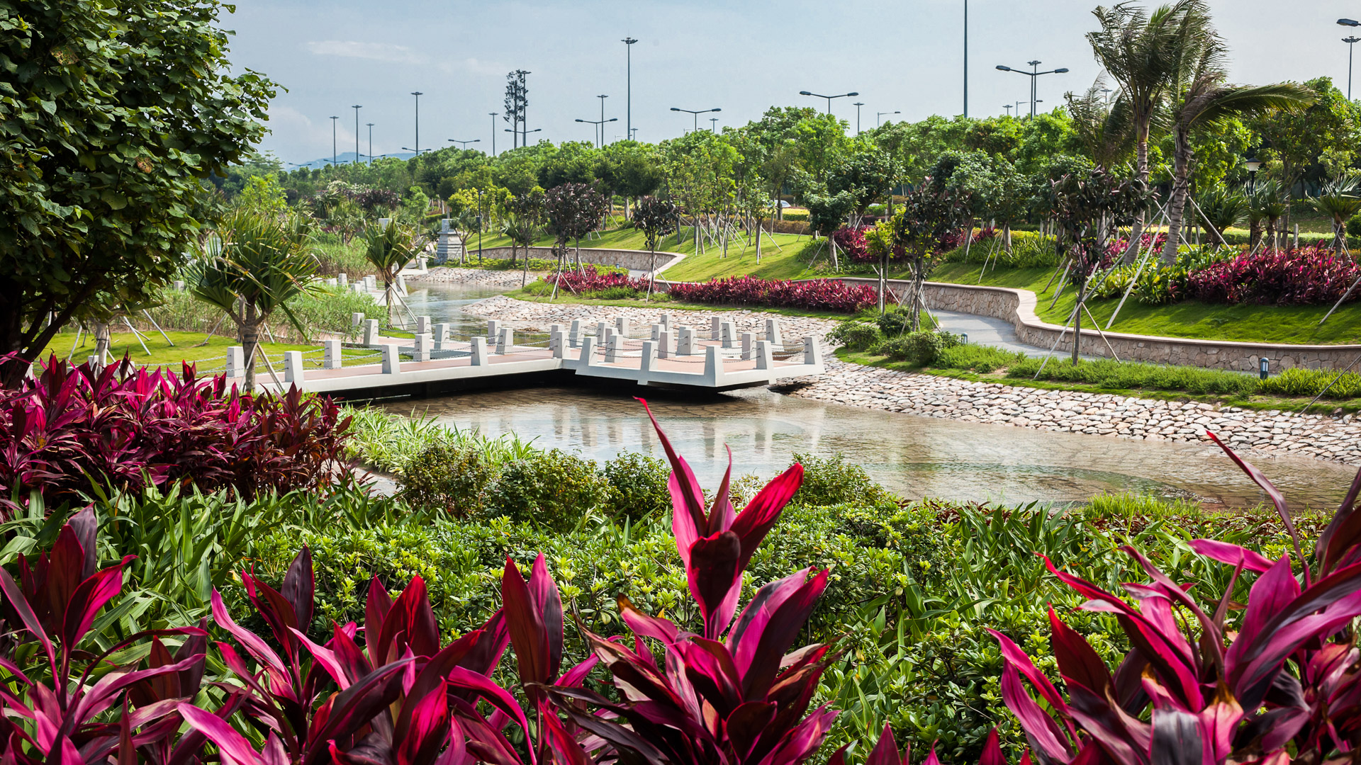
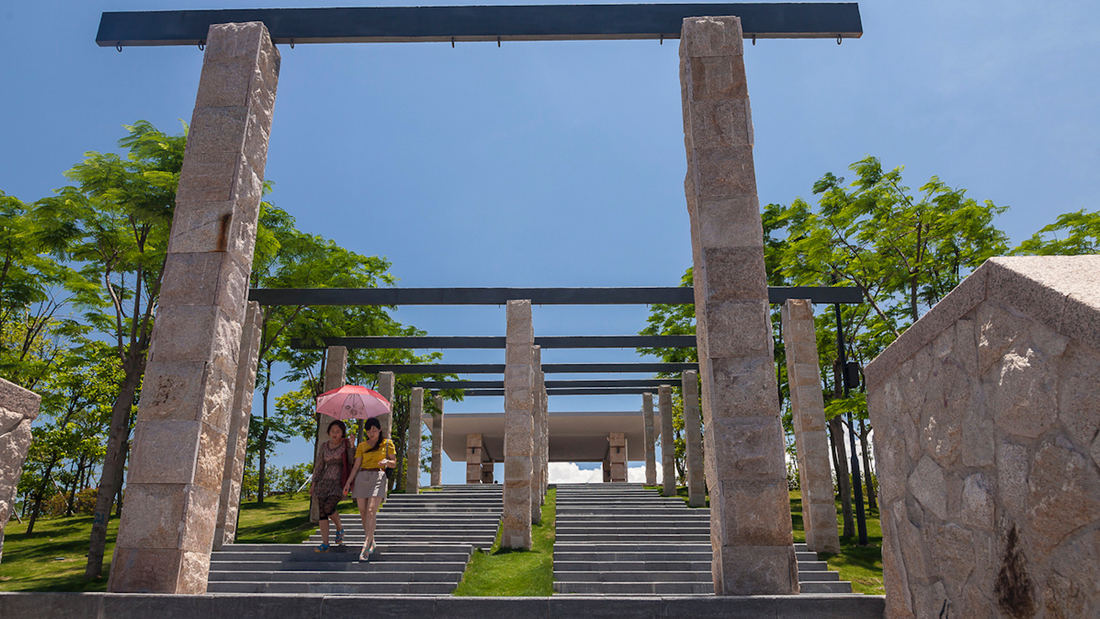
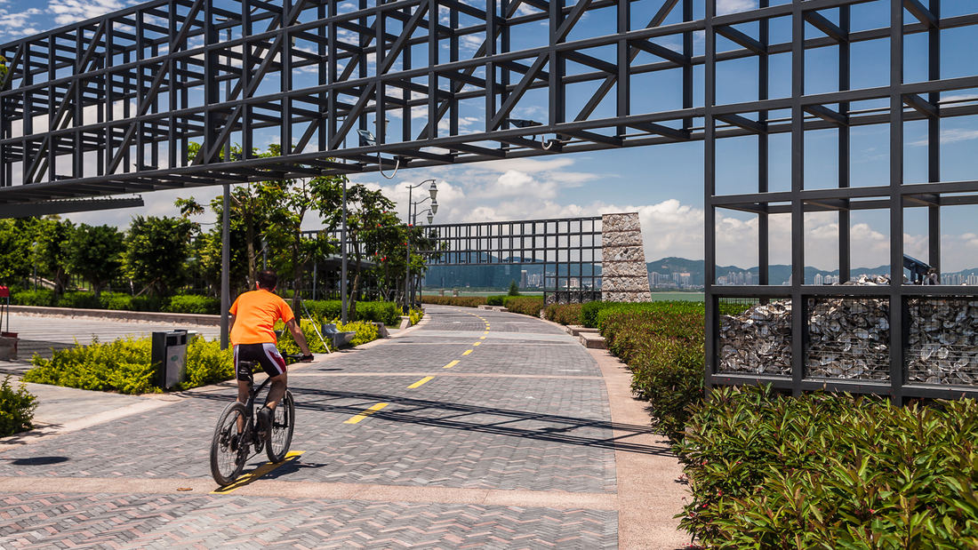
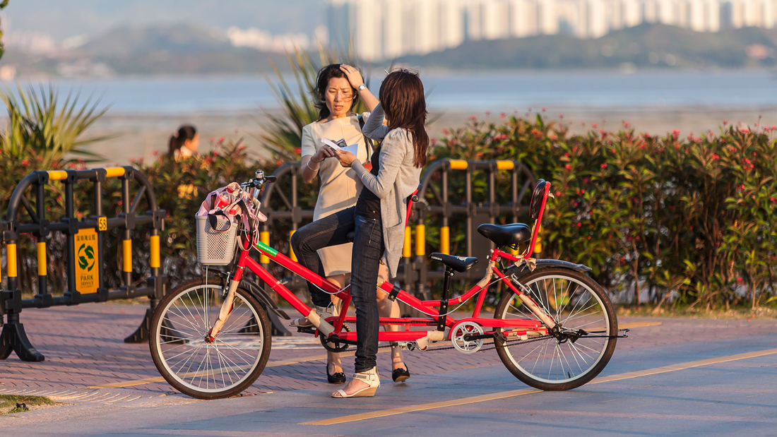
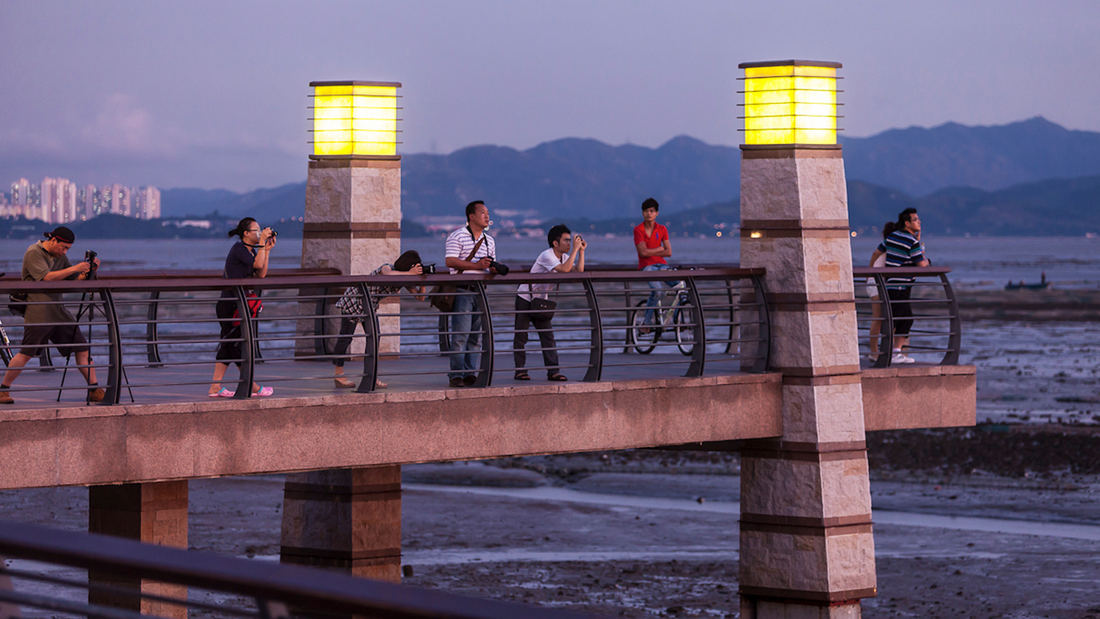
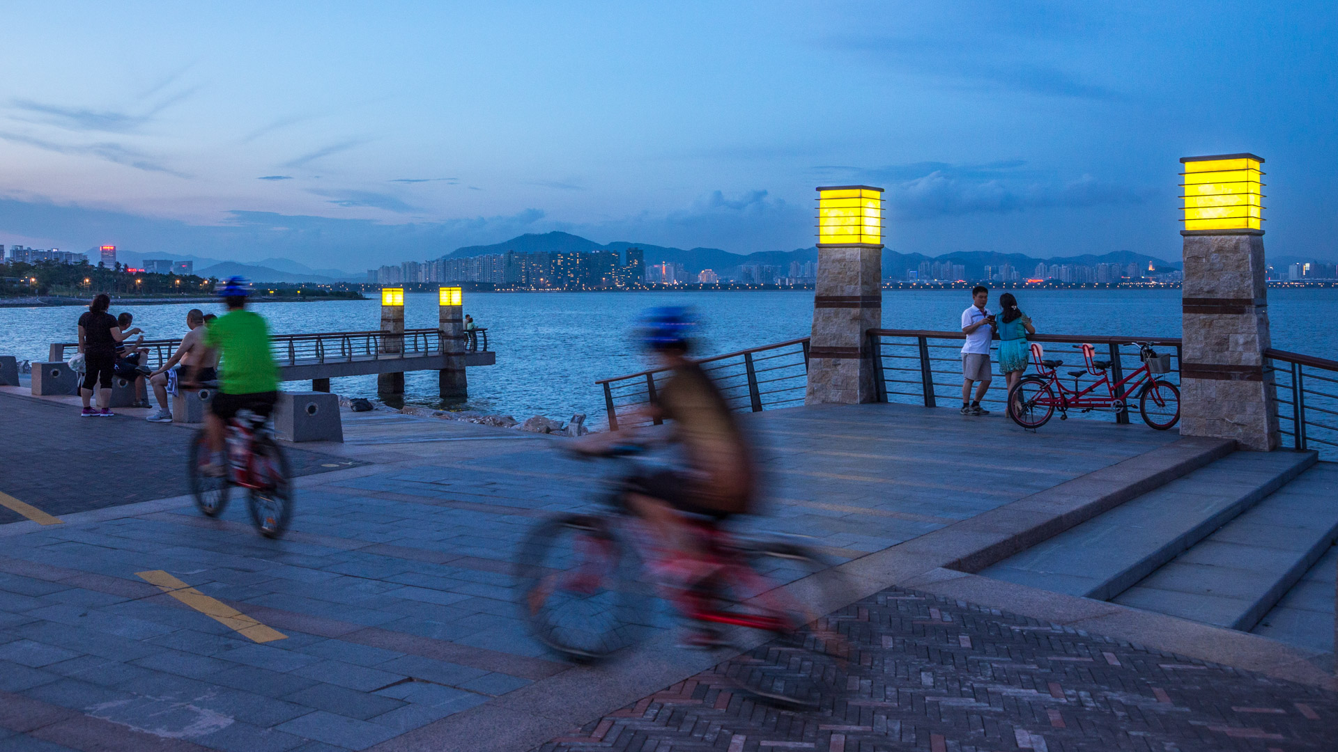
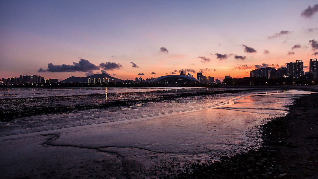
Situated just across the bay from Hong Kong, the city of Shenzhen has transformed from a small fishing town of 30,000 to a booming city of over 10 million people in 40 years – and has grown over 200 times its original size since 1980. Along the way, the character of Shenzhen’s bayfront was radically altered. Over 65 km2 of marsh and shallow bay were filled to create more land and even nearby mountains were mined for fill. The landfill operations all but obliterated the native mangrove and salt marsh shoreline, and with it, rich marine, intertidal and coastal wildlife habitat. In a partnership with local clients, SWA’s Shenzhen Bay Coast Master Plan and its resulting projects will restore acres of mangrove coastline and marsh habitat, deepen the bay to reverse siltation, and design sensitive public access to these naturalized features. In addition to coastal restoration, Shenzhen’s new urban population demands new open-space amenities. Inland from the shore, the Master Plan proposes a more intensively recreational park, which would include a ferry landing, aquatic center, playfields, picnic sites, concessions, an amphitheatre and other attractions. Finally, a new planned residential community will extend from the existing street grid, and offer pedestrian connections to the restored coastline and recreation spaces.
South Waterfront Greenway
A bold new plan for the area along the Willamette River includes a 1-1/2 mile extension of the City’s downtown’s parks and the reclamation of the river’s edge for public recreation. Working closely with the City of Portland, developers, and natural resource advocates, the design team devised a rational plan that places access and activity in targeted nodes wit...
Tuscany Meadows Park
This neighborhood park renovation was a collaborative effort with the city and neighborhood to create a welcoming space. The new vision sought to make the site more universally accessible and attractive for multi-generational community members. Four new “play rooms” include an outdoor fitness facility, sensory play zones, a n...
Buffalo Bend Park
Houston’s East End is a bifurcated community, with heavy industry brushing up against a vibrant and culturally diverse residential area. Answering residents’ call for more park space, SWA created Buffalo Bayou Bend Nature Park by converting a formerly neglected industrial site into a wetland ecosystem and public green space.
Three interconnected ponds, ...
SIPG Harbor City Parks
This new riverfront development is located on the Yangtze River in the Baoshan District of Shanghai. This area boasts some of the highest shipping activity in the world. However, in recent years this single-function industrial zone has given way, allowing for waterfront parks to develop. Within this historically layered water front the Baoshan Park and Open Sp...