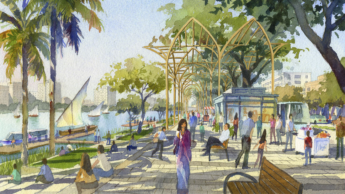
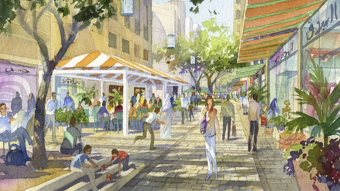
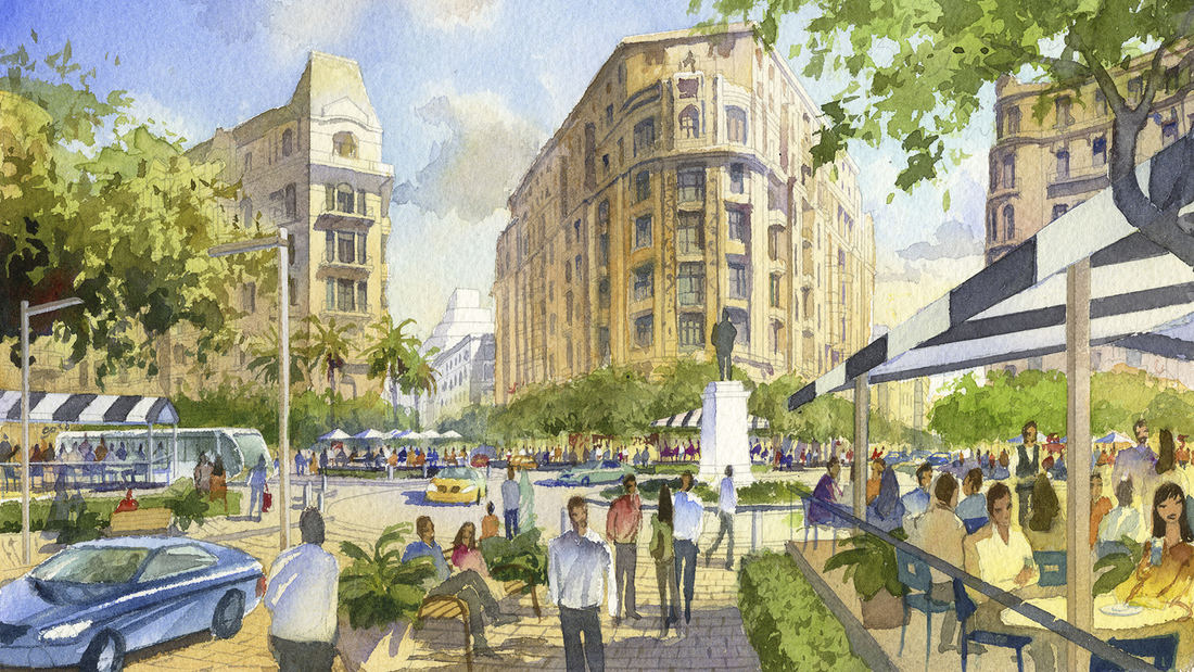
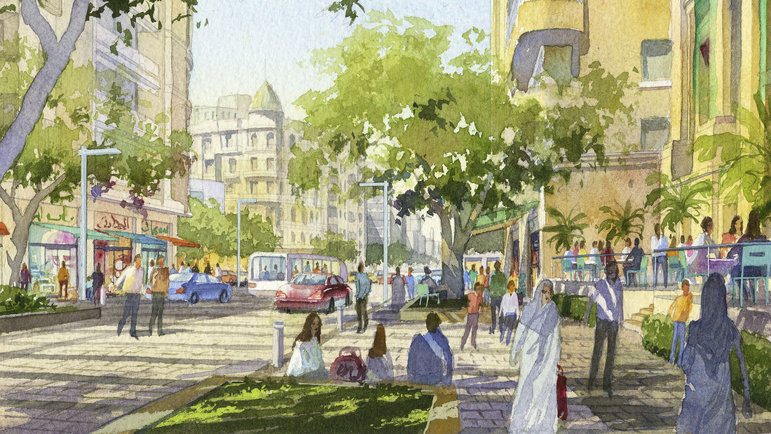
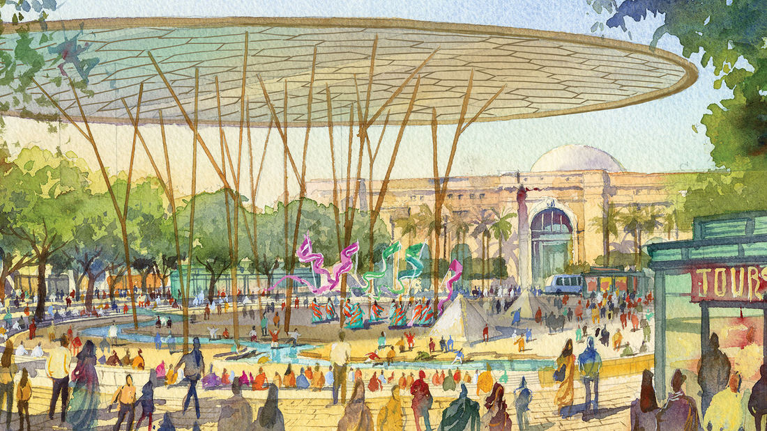
The Khedive’s Cairo is often referred to as the heart of modern Cairo. Laid out by Ismail Pacha in the late 19th century, the Khedive’s Cairo was a physical manifestation of the governmental and societal evolution that the Khedive envisioned for Egypt. Like many American and European cities, time and intense pressures of population growth has caused this important cultural and business district to lose much of the luster that once characterized Cairo’s importance on the world stage. SWA’s plan uses the rich cultural, historic and natural features that remain to create a framework for revitalizing this important district resulting in a new business, tourist and residential center for Egypt’s growing middle class. While the Khedive’s plan for Cairo is laid out along European lines, the details of our Plan are based upon, and interpret the life style of the modern Egyptians that will inhabit the Khedive’s Cairo.
Rather than furnishing streets with Eurocentric rows of street trees, the plan calls for the use of “micro parks” to provide respite from the frenzy of Downtown Cairo and create a green matrix of usable open space that is imbedded into the fabric of the street. The “micro park” can take on a variety of forms but will typically be a raised garden or paved space of 30 to 50 square meters, which contains a cluster of broad canopy shade trees or an architectural trellis. Micro parks were created to specifically embrace the authentic way that Caireans use the street, and address the realities of maintaining stately rows of street trees in such an urban setting.
San Diego Embarcadero
The redevelopment plan for the waterfront and port facilities adjacent to downtown San Diego included translating community and economic requirements into a specific planning program. Emphasis was placed on urban design, circulation and parking, landscaping, environmental planning, and engineering considerations with a set of comprehensive implementation guide...
Tata Eco City
At the crossroads of ecology and community, this master plan synergizes a unique blend of spaces that support active lifestyles and foster innovation and creativity. Tata Eco City Master Plan was been developed layer by layer, using a set of strategic design interventions to help ensure that the delicate balance between nature and the built environment is prot...
The Landscapes of Wuhai
The Inner Mongolian city of Wuhai is transforming from focusing on coal mining as its main industry to tourism. This very special place has many different, striking landscape types located within just 1666 sq. kilometers: sand dunes, mountains, and wetlands, plus adjacency to the Yellow River. Consequently, the city has decided to boost its tourism. Already pl...
Downtown Jebel Ali Landscape Master Plan, UAE
Downtown Jebel Ali is a new development located 35 kilometers southwest of Dubai, along an 11 km stretch of Sheikh Zayed Road. Representing the first phase of a major mixed-use development on the outskirts of Dubai, the project includes two high-rise office buildings and two high-rise apartment buildings with access to Sheik Zayed Road. Mixed-use buildings and...


