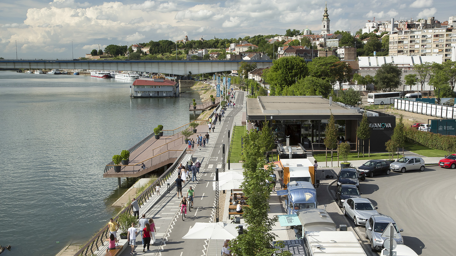
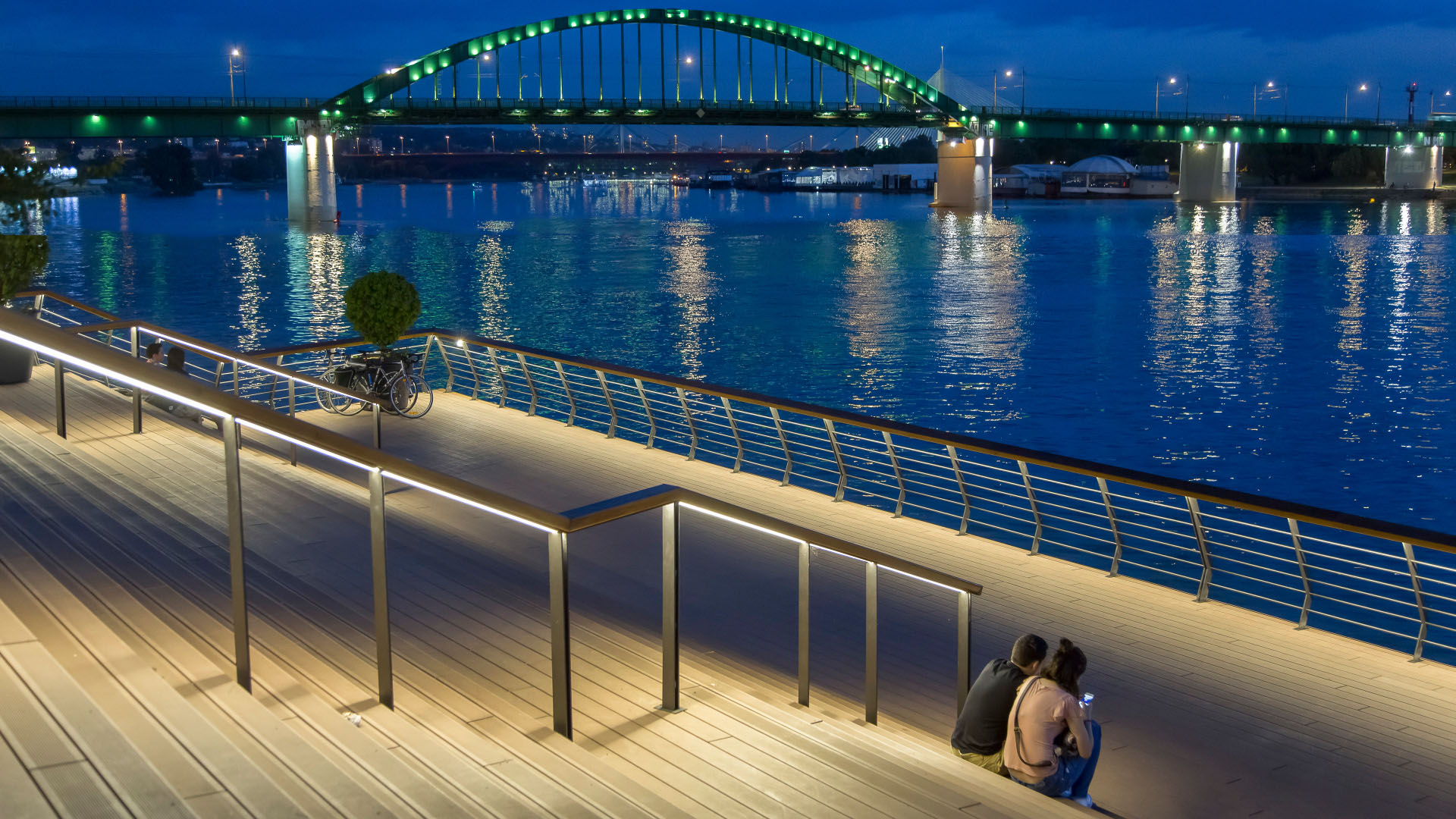
This one-million-square-meter waterfront development, the single largest regeneration project in Serbia’s history, aims to create a world-class, sustainable destination for civic and cultural attractions, forging human and physical connections to the Sava River where none existed before. Located near the historic town center of Belgrade, the site’s new 2-kilometer promenade is a key part of the development, acting as a full-scale investigation into the project’s potential. The area is already more popular than the city imagined and new construction, including a tower by SOM, continues to define the evolving waterfront at a pace of 50 meters per month.
SWA’s design created a series of places that enhanced year-round programming and activation strategies. The city’s culture is realized in many design details, including the use of cast-off railway parts from the site’s historic core. Planned public transportation, stormwater and digital infrastructure, and walkable pedestrian-scaled neighborhoods and districts will incorporate existing floating restaurants and bars; specific waterside improvements will target the cyclists and fishermen who have long populated this post-industrial “edge landscape.”
Longgang River Blueway System
The Shenzhen Longgang River Blueway System is envisioned to unlock the tremendous land value of this 13-mile-long suburban watershed and galvanize the city’s future growth. SWA’s proposal addresses urbanization issues pertaining to water, the environment, and open space shortage, while also activating industrial and cultural revitalization in the surrounding d...
Xinyang Suo River
SWA recently completed a master plan for a 36 km length of the Xingyang Suo River located in Xinyang, China. Located on a site at the confluence of an elaborate network of waterways, the River has served as a transportation system for the movement of goods, services and people between Xingyang, Beijing and the coastal cities to the Southeast. This has transfor...
Changsha Baxizhou Island
Over many decades, public agencies in China have sought to solve growing flooding issues in a defensive way: fortifying and hardening river edges, raising levee heights, and ultimately separating the people from historical connections to the water. With an understanding of river flow processes and volumes and of wetland and native forest ecology, this separati...
Fort Wayne Riverfront
As a city that was built and thrived because of its location as a crossroads between wilderness and city, farm and market, the realities of infrastructure both natural and man-made are at the heart of Fort Wayne’s history. We consider waterways as an integral part of open spaces of the City, forming a series of infrastructural systems that affect the dynamics ...


