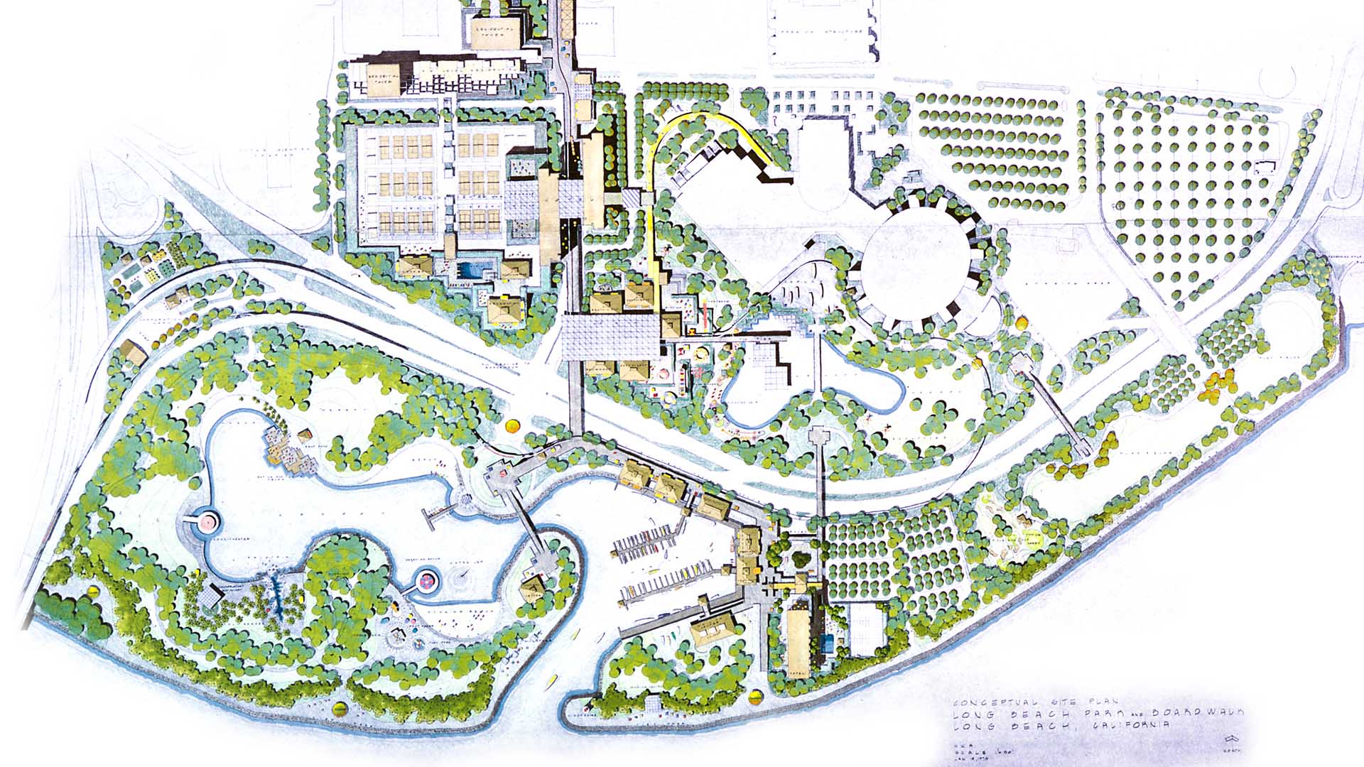
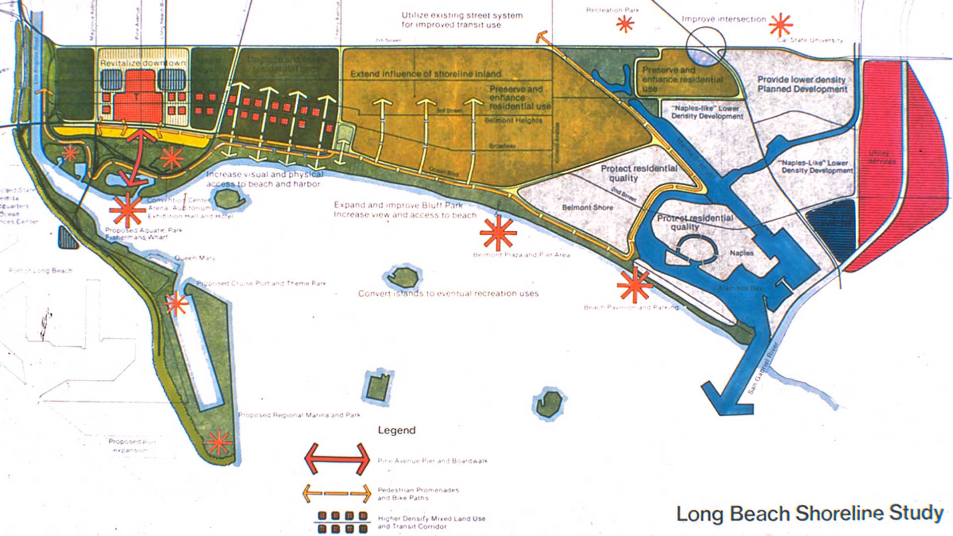
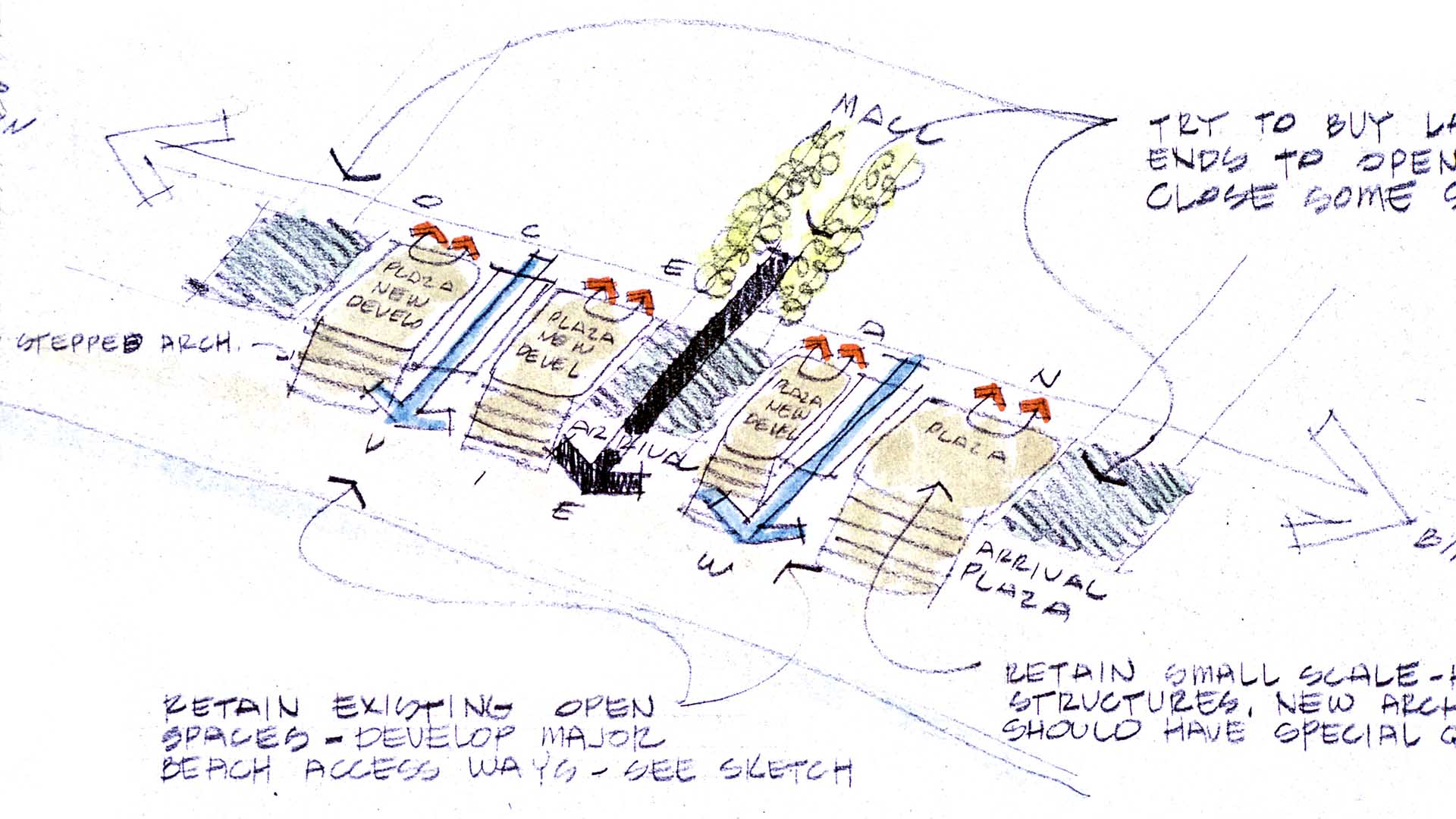
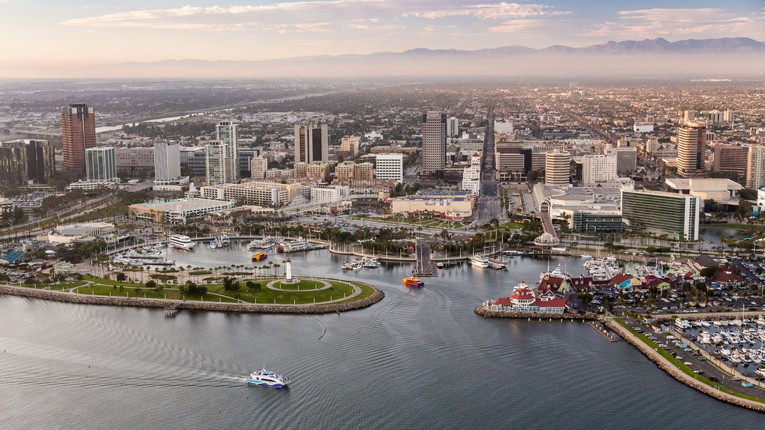
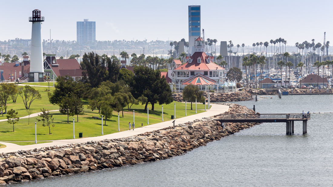
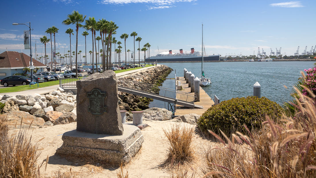
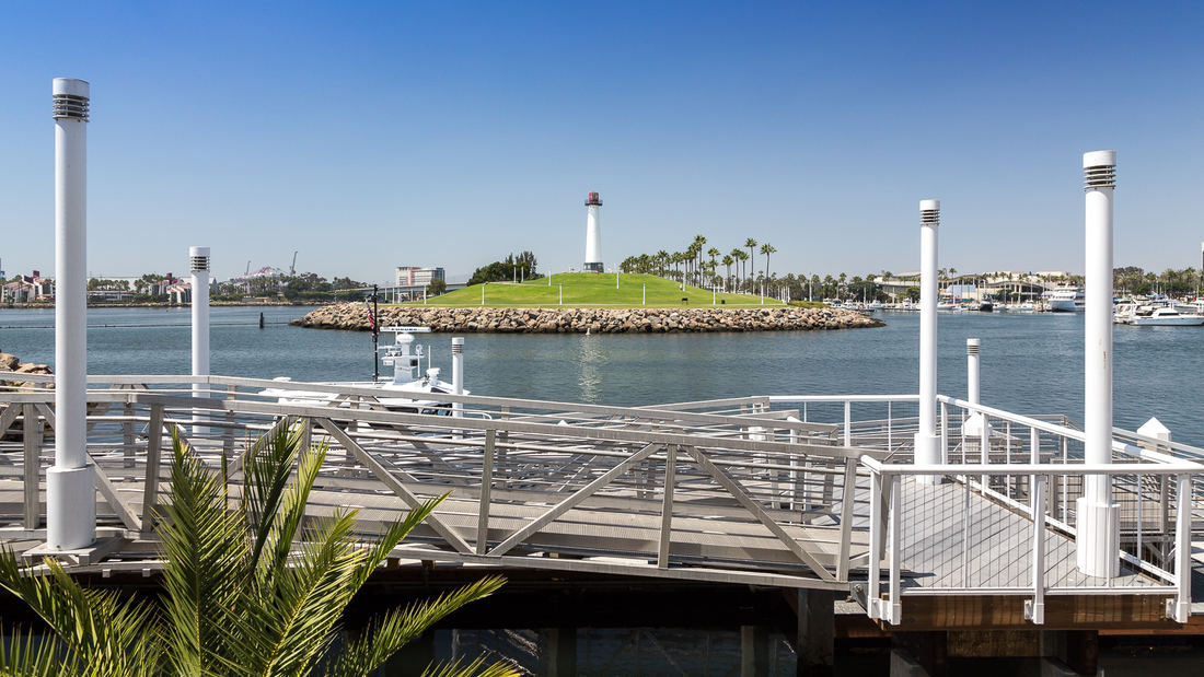
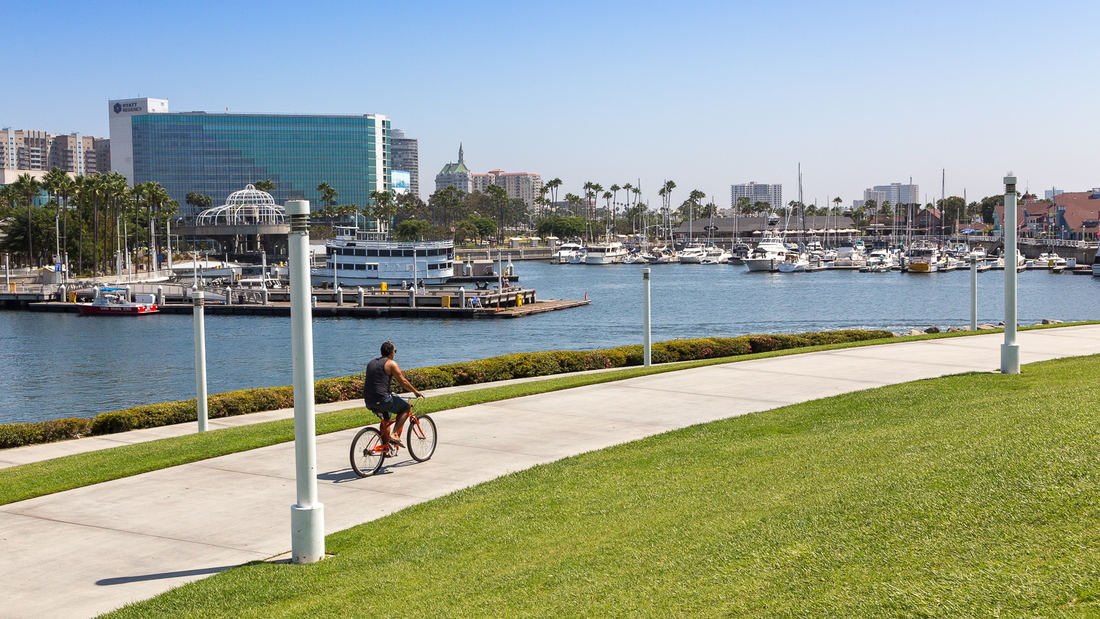
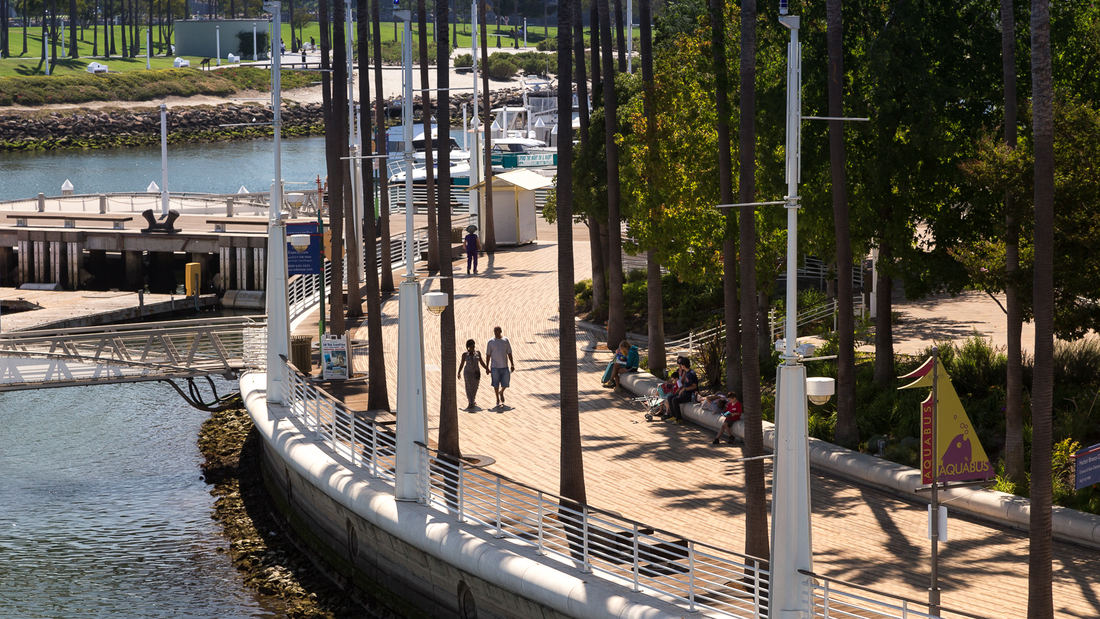
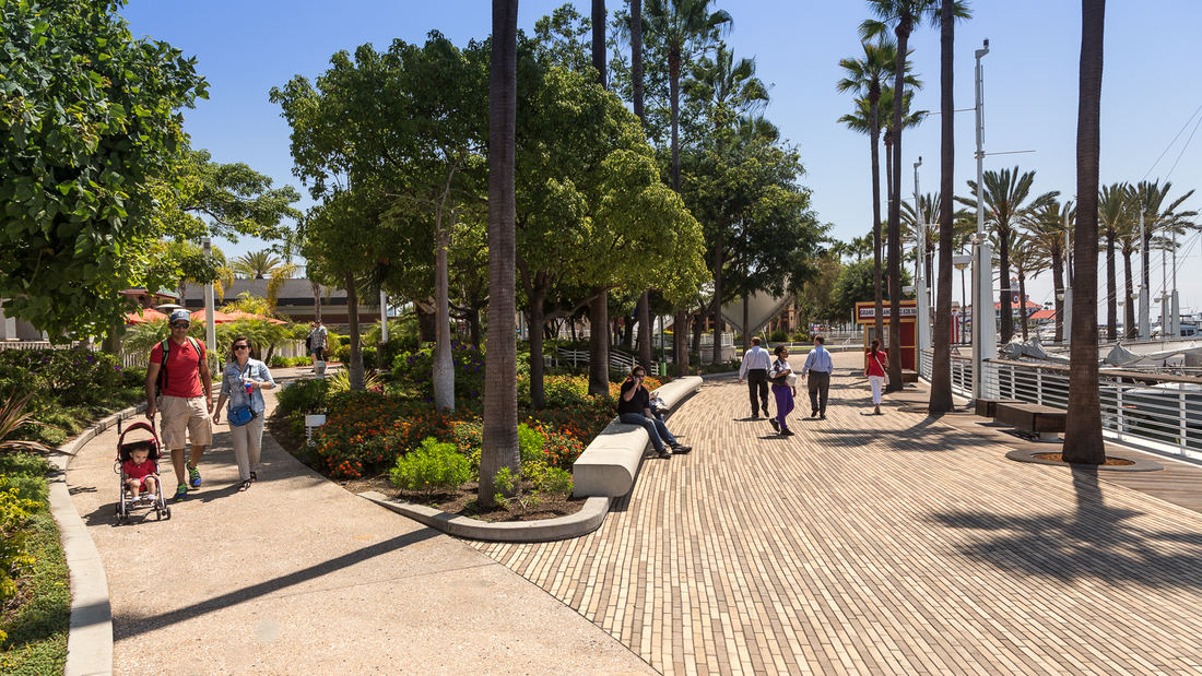
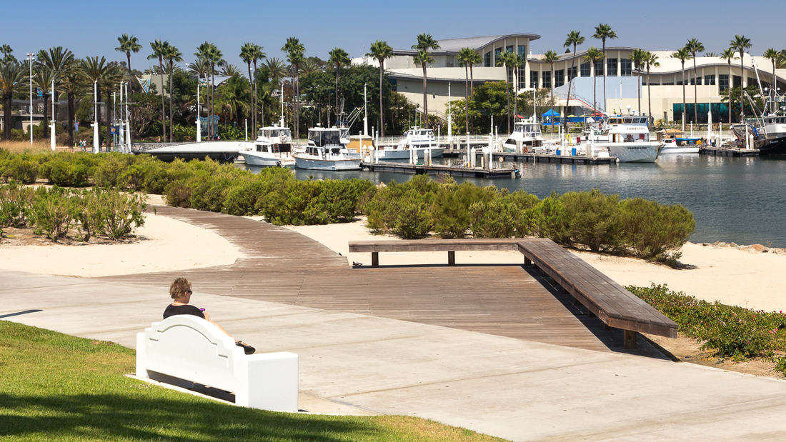
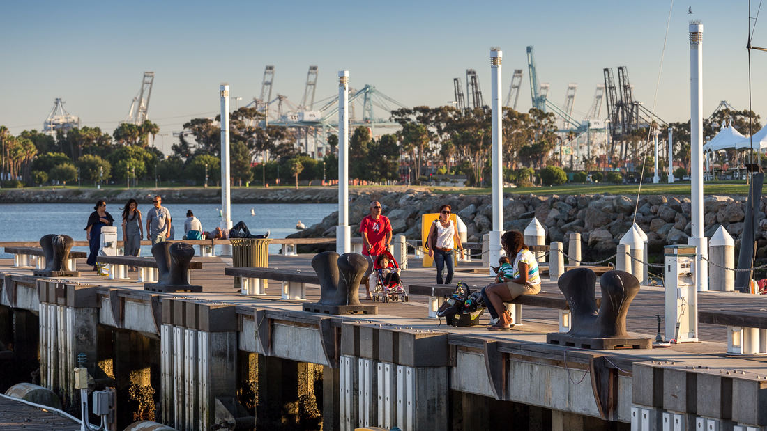
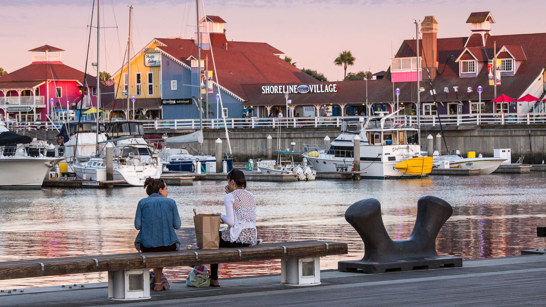
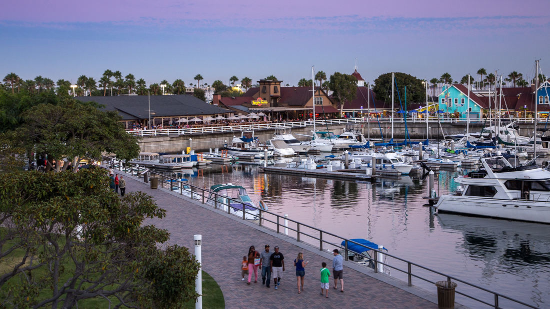
SWA prepared a land use and urban design plan for six miles of waterfront adjacent to downtown Long Beach. Through a series of meetings with local community stakeholders, we were able to determine the different needs of each district in the plan: of critical importance was the need to preserve valuable open space inland, and to maintain an ecological corridor for stormwater management along the shoreline. The resulting plan, endorsed by the California Coastal Commission, proposed improved road circulation, a continuous pedestrian boardwalk, marina and commercial development, and a 50-acre shoreline park. In addition to recommendations related to building density and height restrictions to preserve view corridors, SWA proposed several strategies for improving access to the coast from different points within the city. Specifically, we proposed a major new pedestrian spine linking downtown to the bay with provisions for new high-density office and residential development. Following approval of the plan, SWA was hired to perform more detailed studies of downtown development in support of the new convention center arena, performing arts center, Hyatt Regency hotel, and the Shoreline Village. The important recommendations made by SWA are still evident today in the distinct qualities of Long Beach’s downtown and shoreline neighborhoods.
Ningbo East New Town Civic Plaza
As an extension of the Ningbo East New Town Government Center, this civic plaza extends the geometry and ecology of SWA’s past work in the city. A central civic axis runs from the government buildings to the Dongqian Lake edge, providing a large, flexible gathering/event space adjacent to an expansive lawn as well as sweeping views of the water. Per city plann...
OCT Bay
Located in Shenzhen, OCT Bay has a combined site area of approximately 1.25 square kilometers including equal parts new urban center and nature preserve. SWA provided both master planning and landscape architectural services for the entire site. As a new urban cultural and entertainment destination, OCT Bay provides urban amenities, entertainment components, p...
Changsha Baxizhou Island
Over many decades, public agencies in China have sought to solve growing flooding issues in a defensive way: fortifying and hardening river edges, raising levee heights, and ultimately separating the people from historical connections to the water. With an understanding of river flow processes and volumes and of wetland and native forest ecology, this separati...
Shekou Promenade
A gateway for China’s open-door policy, Shekou has revitalized its fragmented and hazardous coastline into a dynamic six-kilometer promenade that masterfully captures the area’s cultural and natural essence.
The promenade repurposes the disconnected former industrial waterfront into a celebrated open space system with new recreation programs...


