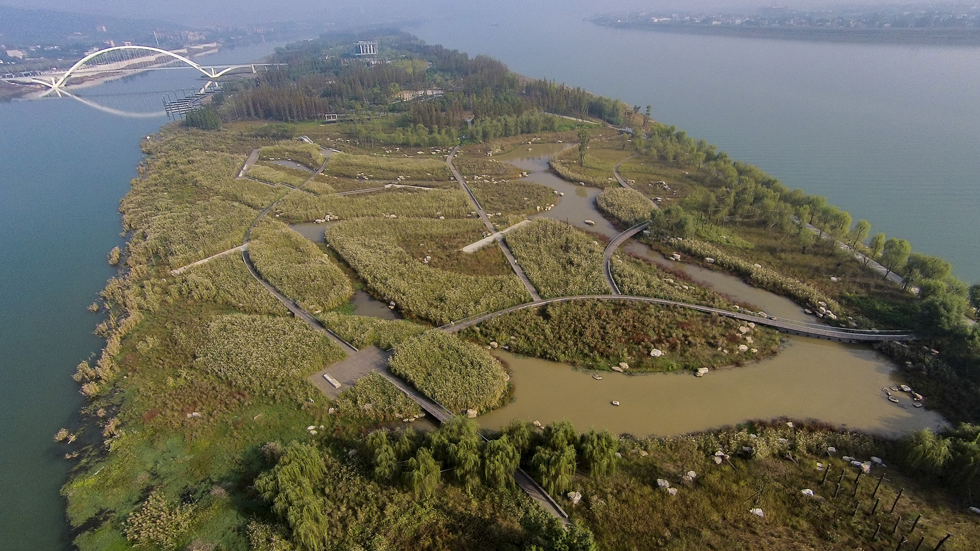
Over many decades, public agencies in China have sought to solve growing flooding issues in a defensive way: fortifying and hardening river edges, raising levee heights, and ultimately separating the people from historical connections to the water. With an understanding of river flow processes and volumes and of wetland and native forest ecology, this separation can be assuaged, reconnecting communities to their waterfronts while responding to periodic flooding.
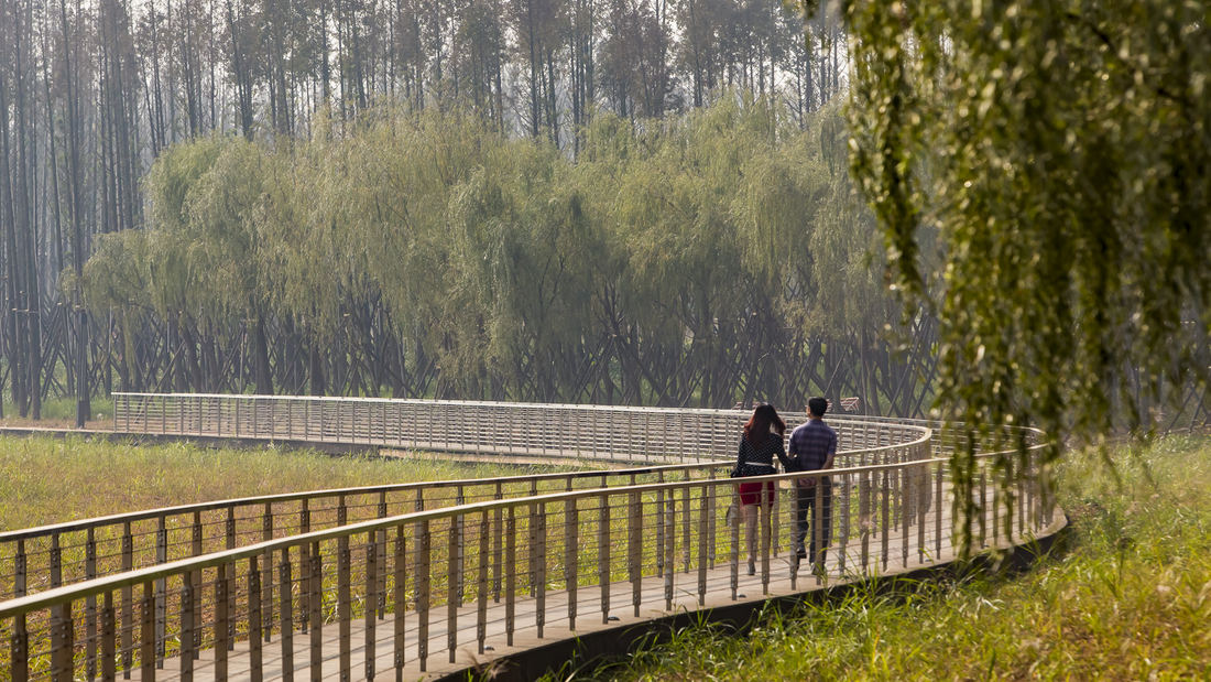
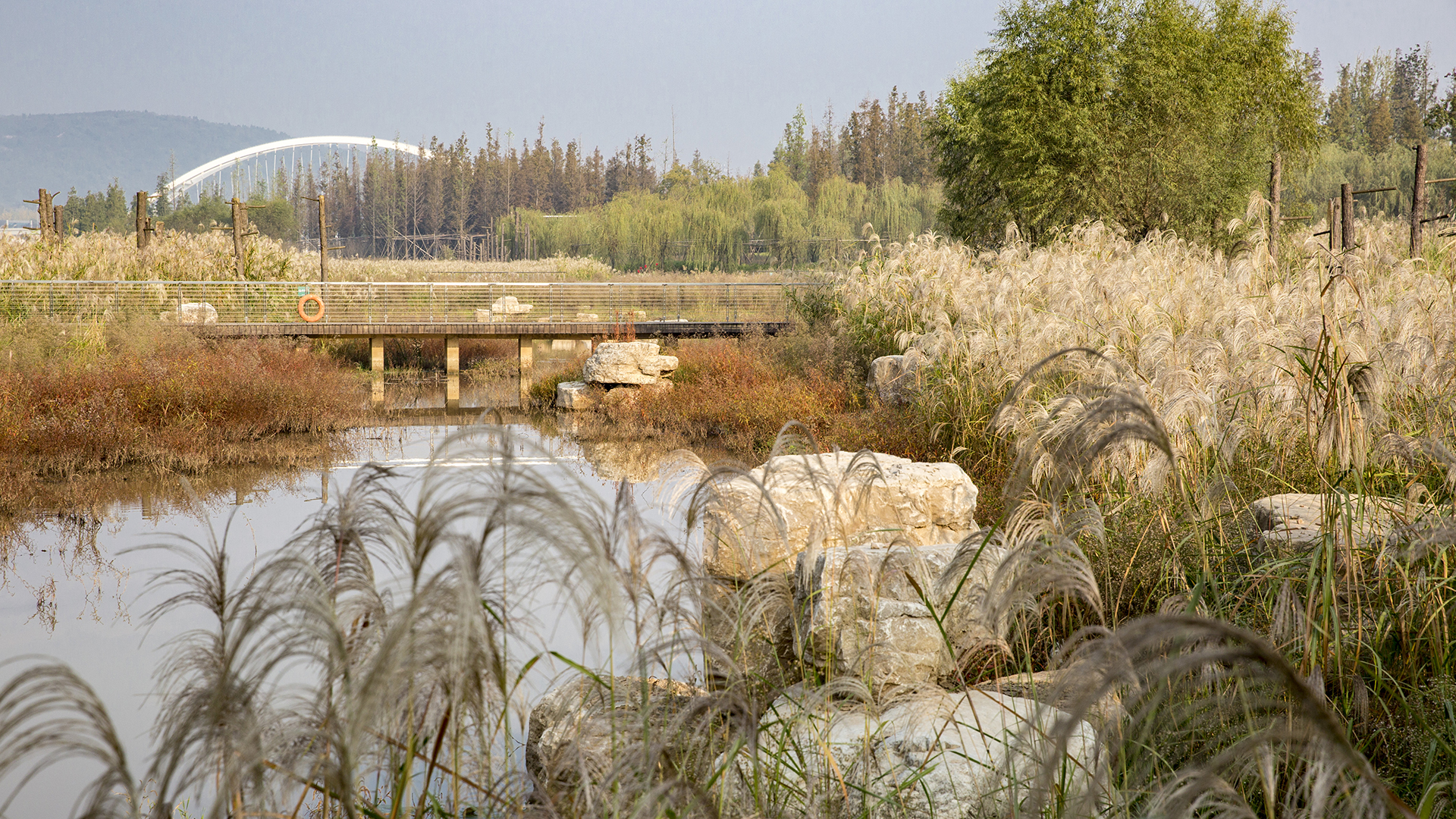
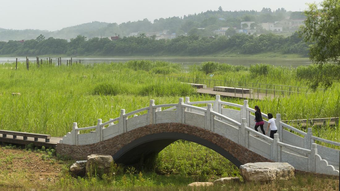
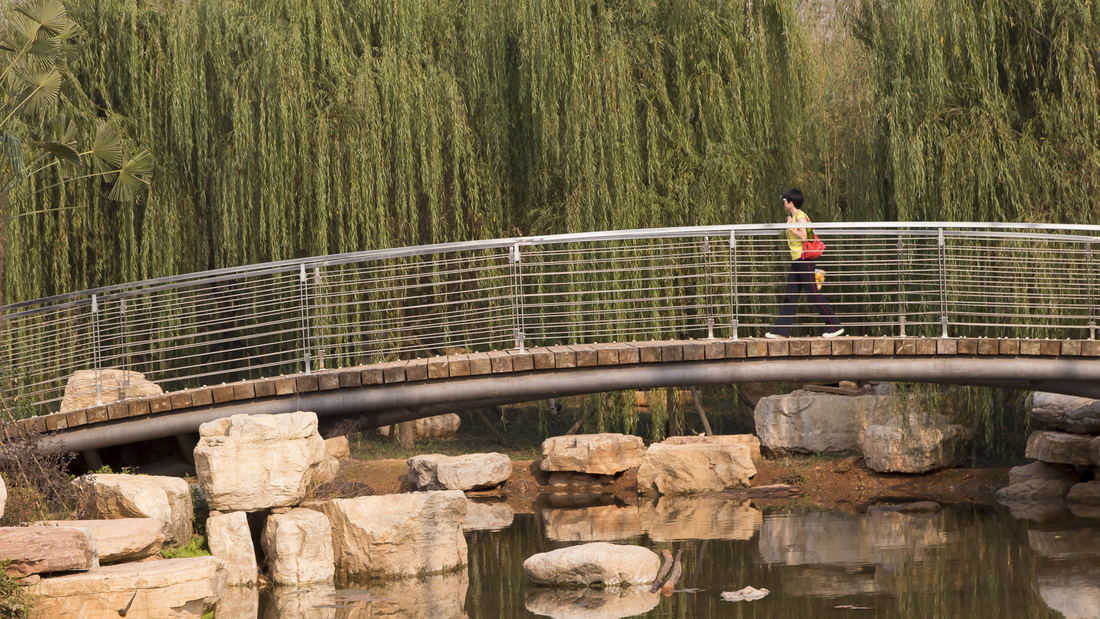
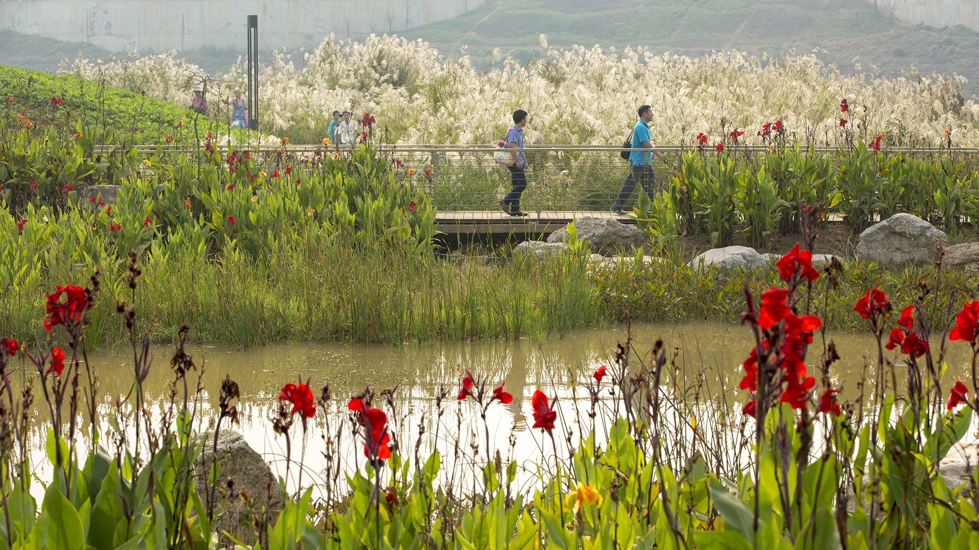
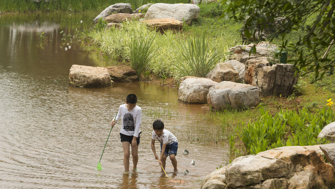
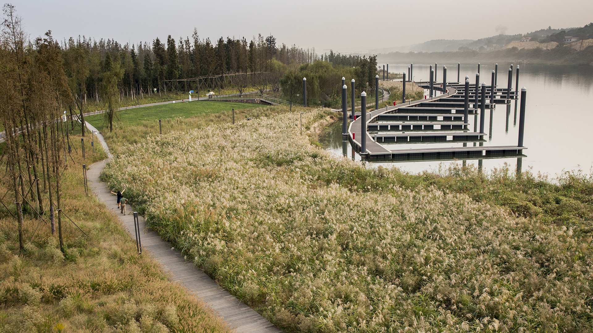
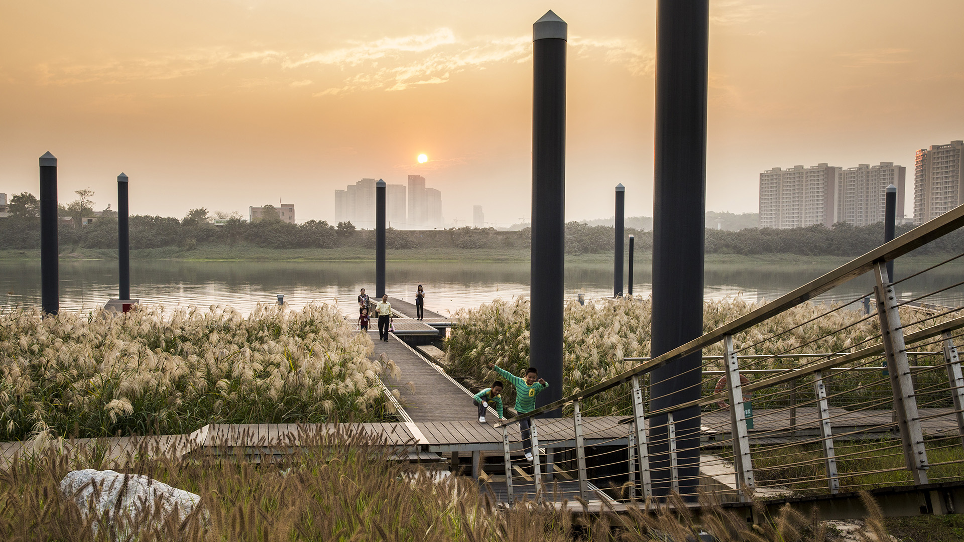
Located on the Xiang River in China’s Hunan Province, the 63.3-hectare Baxizhou Island is a private refuge covered with poplar trees and structures no longer in use. The conceptual design plan created a network of berm-buttressed paths, with terraced edges that create multi-level wetland system around the island: islands to the south, and small peninsulas, linked by a meandering boardwalk network. These peninsulas’ grass-lined channels lie beneath shallow water the majority of the year; however, during the flood season, the entire system is completely submerged.
At the island’s highest grades, private villas and a tennis facility are proposed. These are designed to be self-sustaining and integrated within the landscape, hidden within a forest wall. The island itself provides various opportunities for visitors to enjoy its natural beauty and newly thriving ecology.
Wusong Riverfront
Kunshan, China, located near Shanghai, has experienced unprecedented population and business growth in recent years which has resulted in environmental degradation and the need for the city to reshape its identity. SWA’s proposal aims to create a new waterfront district providing businesses as well as residents with public amenities and viable open space. The ...
OCT Bao’an Waterfront Cultural Park
Bao’an Waterfront Park is an essential amenity for future residents of Shenzhen’s rapidly expanding Qianhai area, and is also an important connection between the urban fabric and the ocean. The key landscape frameworks for the park are its riverine interpretation aspects and water’s edge programs. The “Eco River” will bring water experiences into the green spa...
Rio 2016 Olympic Park Competition
SWA was awarded 2nd place in the 2016 Olympic Park Competition in Rio de Janeiro for their master plan and landscape architecture proposal. The Olympics will be located on a 118-hectare site in the neighborhood of Barra da Tijuca. The underlying concept of ‘Embrace’ weaves through the design in a grand planning gesture, which both defines the Olympic Games and...
Dubai Creek Harbor
Dubai Creek Harbor is a progressive and innovative new neighborhood that aims to respond to environmental concerns with professional, best-practice measures that will ensure an environment that is healthy, accessible, and environmentally responsible.
The storied history, culture, and nature of Dubai Creek serves as the inspiration for the design of Duba...


