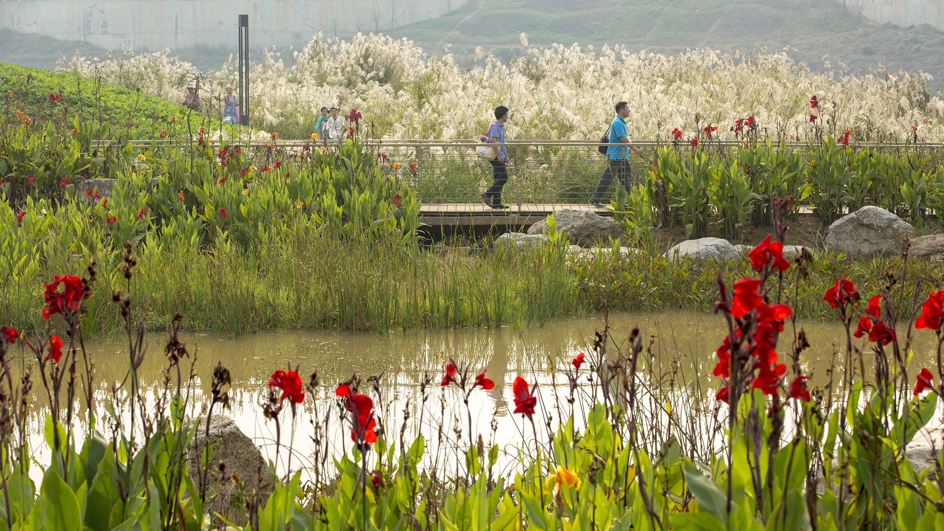
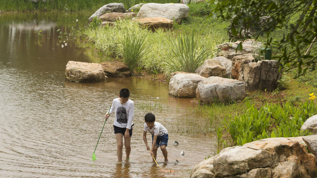
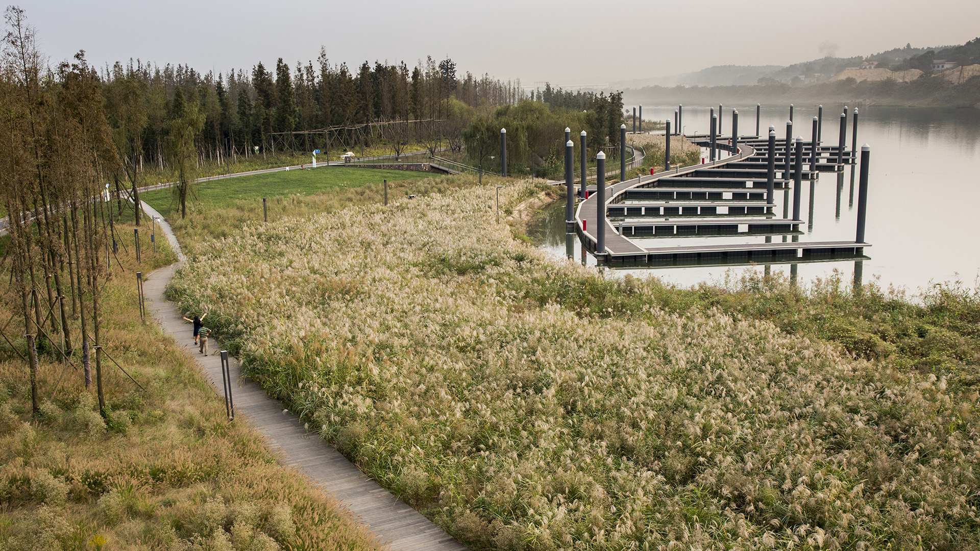
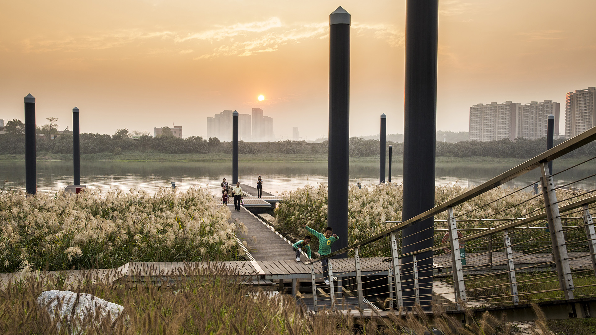
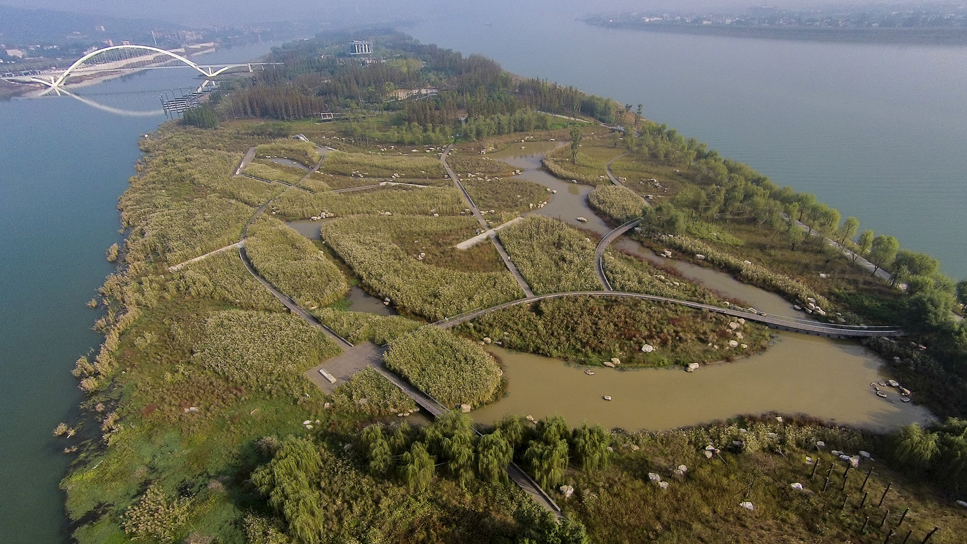
Over many decades, public agencies in China have sought to solve growing flooding issues in a defensive way: fortifying and hardening river edges, raising levee heights, and ultimately separating the people from historical connections to the water. With an understanding of river flow processes and volumes and of wetland and native forest ecology, this separation can be assuaged, reconnecting communities to their waterfronts while responding to periodic flooding.
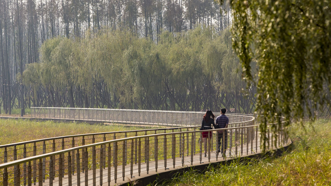
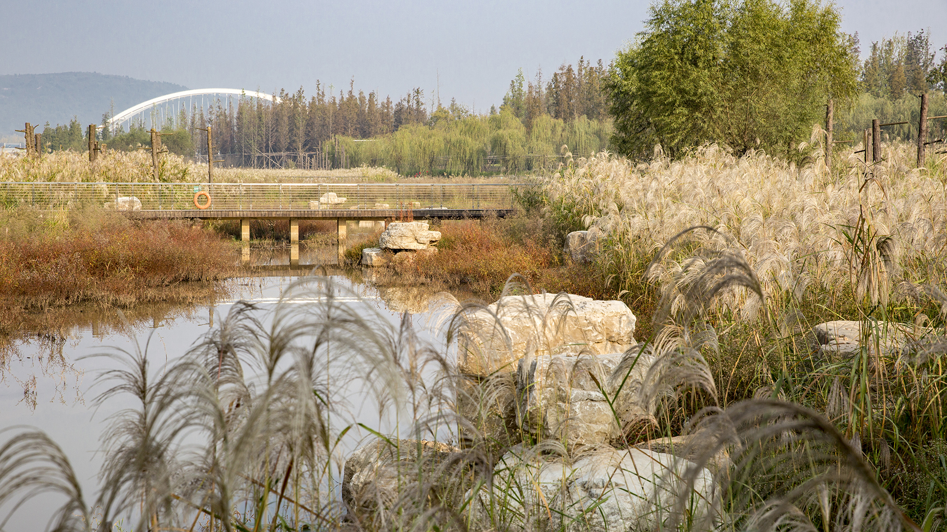
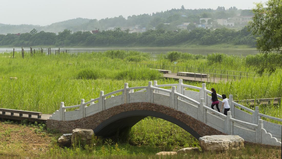
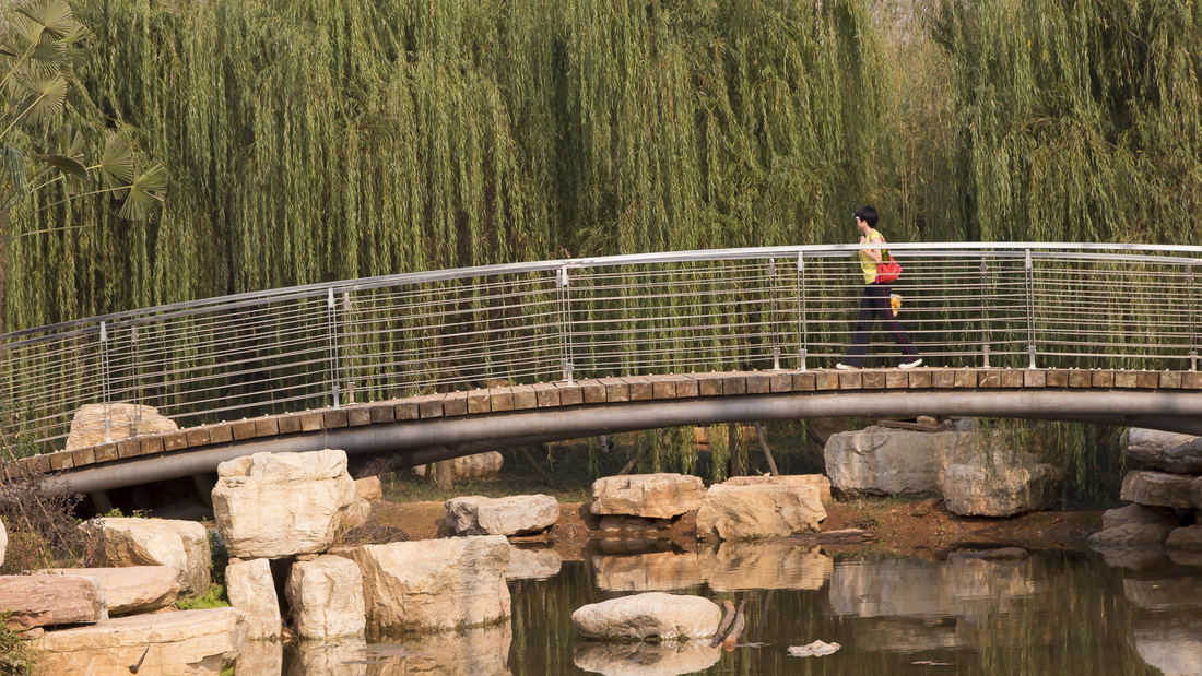
Located on the Xiang River in China’s Hunan Province, the 63.3-hectare Baxizhou Island is a private refuge covered with poplar trees and structures no longer in use. The conceptual design plan created a network of berm-buttressed paths, with terraced edges that create multi-level wetland system around the island: islands to the south, and small peninsulas, linked by a meandering boardwalk network. These peninsulas’ grass-lined channels lie beneath shallow water the majority of the year; however, during the flood season, the entire system is completely submerged.
At the island’s highest grades, private villas and a tennis facility are proposed. These are designed to be self-sustaining and integrated within the landscape, hidden within a forest wall. The island itself provides various opportunities for visitors to enjoy its natural beauty and newly thriving ecology.
North Bund Riverside
North Bund Riverside Park, located on a prominent 2.1 km waterfront along Shanghai’s Huangpu River, is the first project of its kind in Shanghai to address contiguous waterfront open space. The goal of the associated international competition was to find innovative solutions to transform a post-industrial waterfront with historic elements into a viable active ...
Hunter's Point South Waterfront Park
Hunter’s Point South Waterfront Park was envisioned as an international model of urban ecology and a world laboratory for innovative sustainable thinking. The project is a collaboration between Thomas Balsley Associates and WEISS/MANFREDI for the open space and park design with ARUP as the prime consultant and infrastructure designer.
What was once a ba...
Shenzhen Bay
Situated just across the bay from Hong Kong, the city of Shenzhen has transformed from a small fishing town of 30,000 to a booming city of over 10 million people in 40 years – and has grown over 200 times its original size since 1980. Along the way, the character of Shenzhen’s bayfront was radically altered. Over 65 km2 of marsh and shallow bay were filled to ...
Shunde Guipan River Waterfront
SWA participated in a competition reimagining 19-kilometers of the Guipan River waterfront in Shunde, China. While the Pearl River Delta is one of the fastest growing regions of Southern China, one of the many casualties of this growth was the delta itself. Presently, Shunde has a growing flooding problem enhanced by channelizing, condensing, and containing th...


