

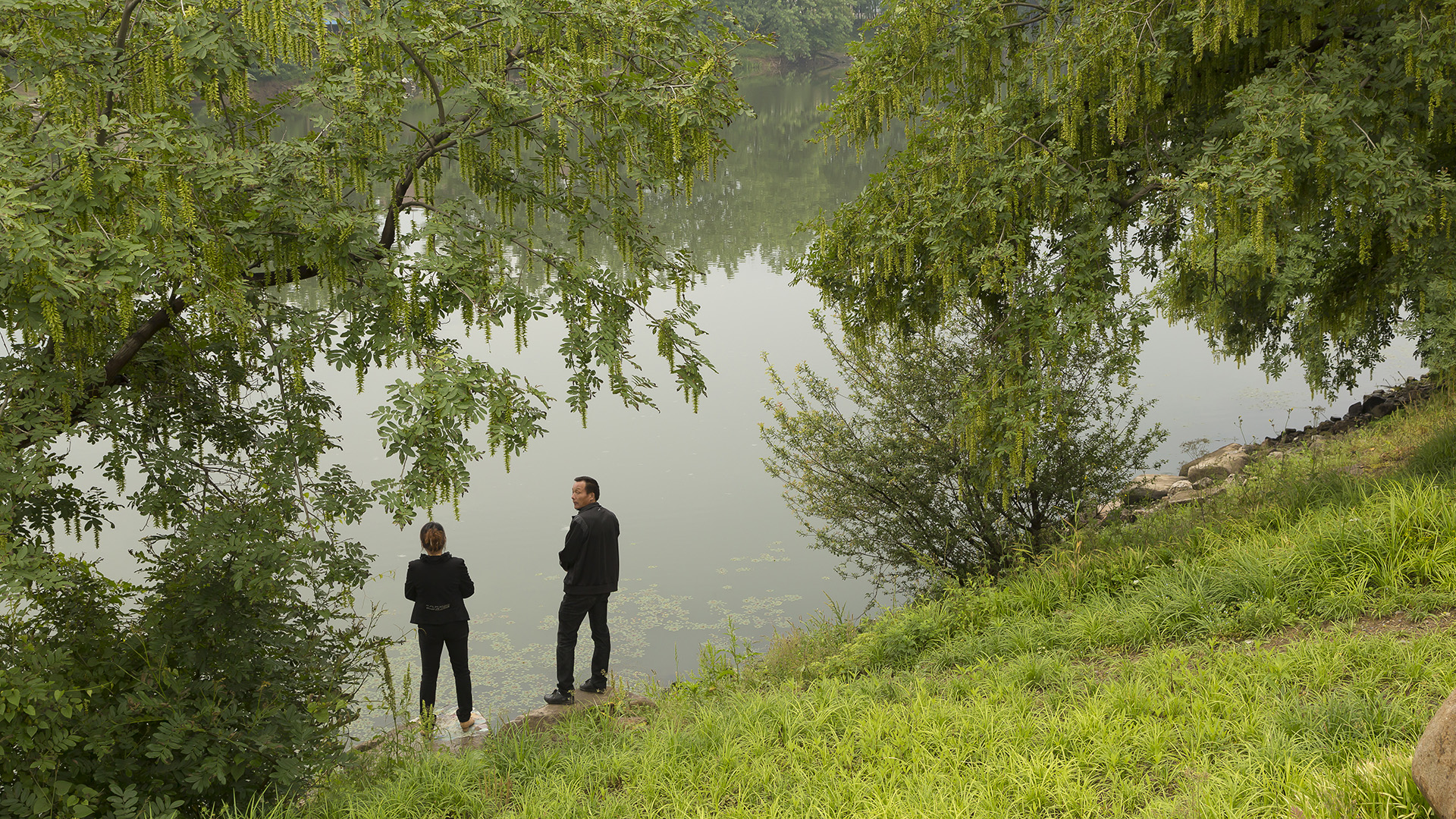
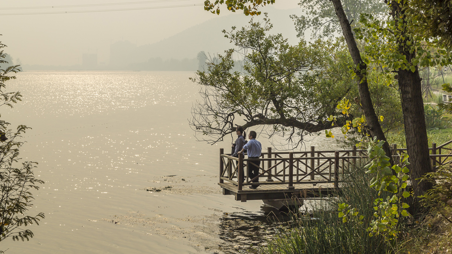
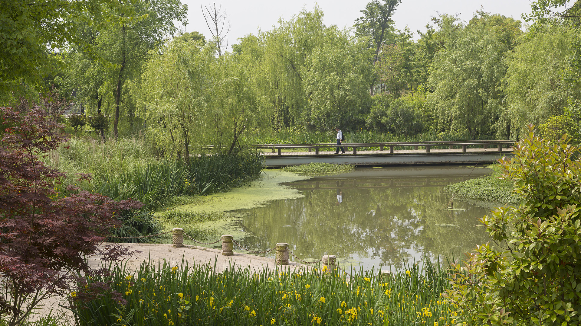

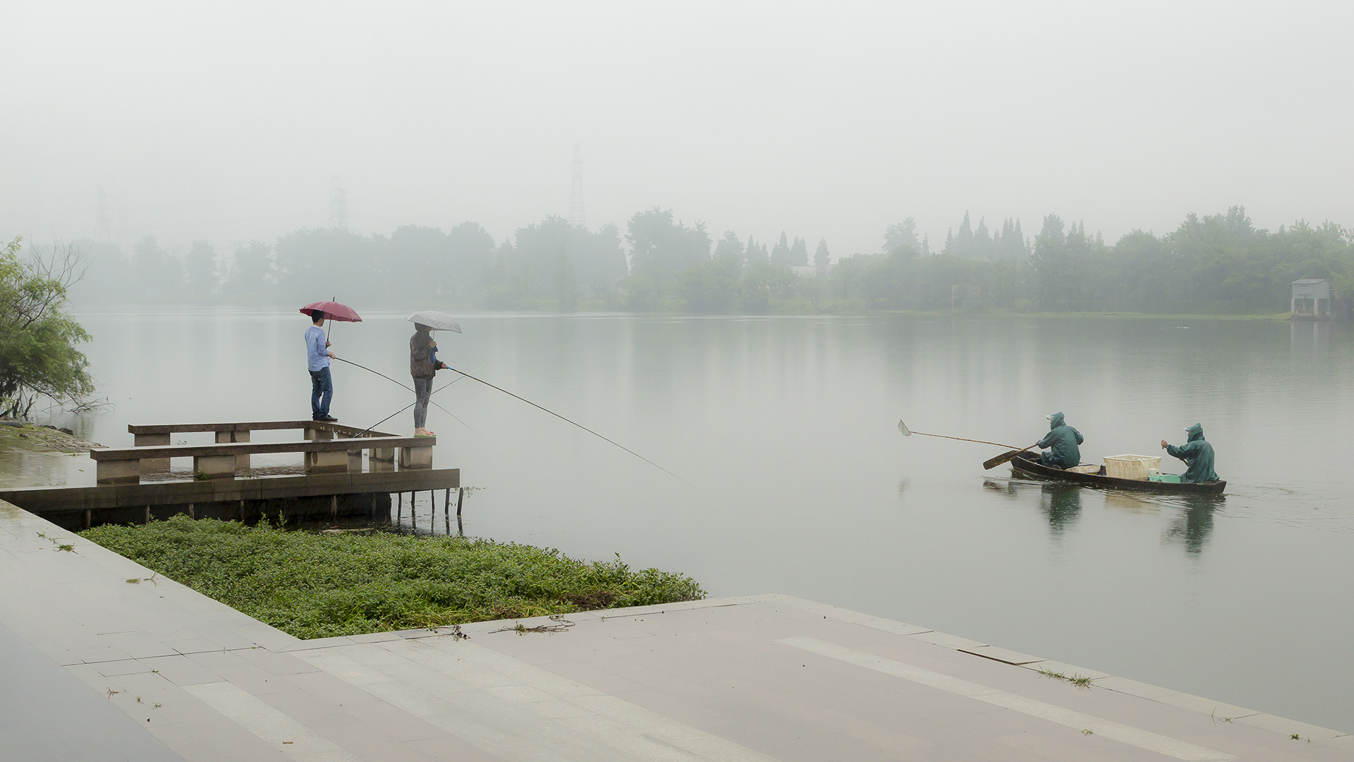
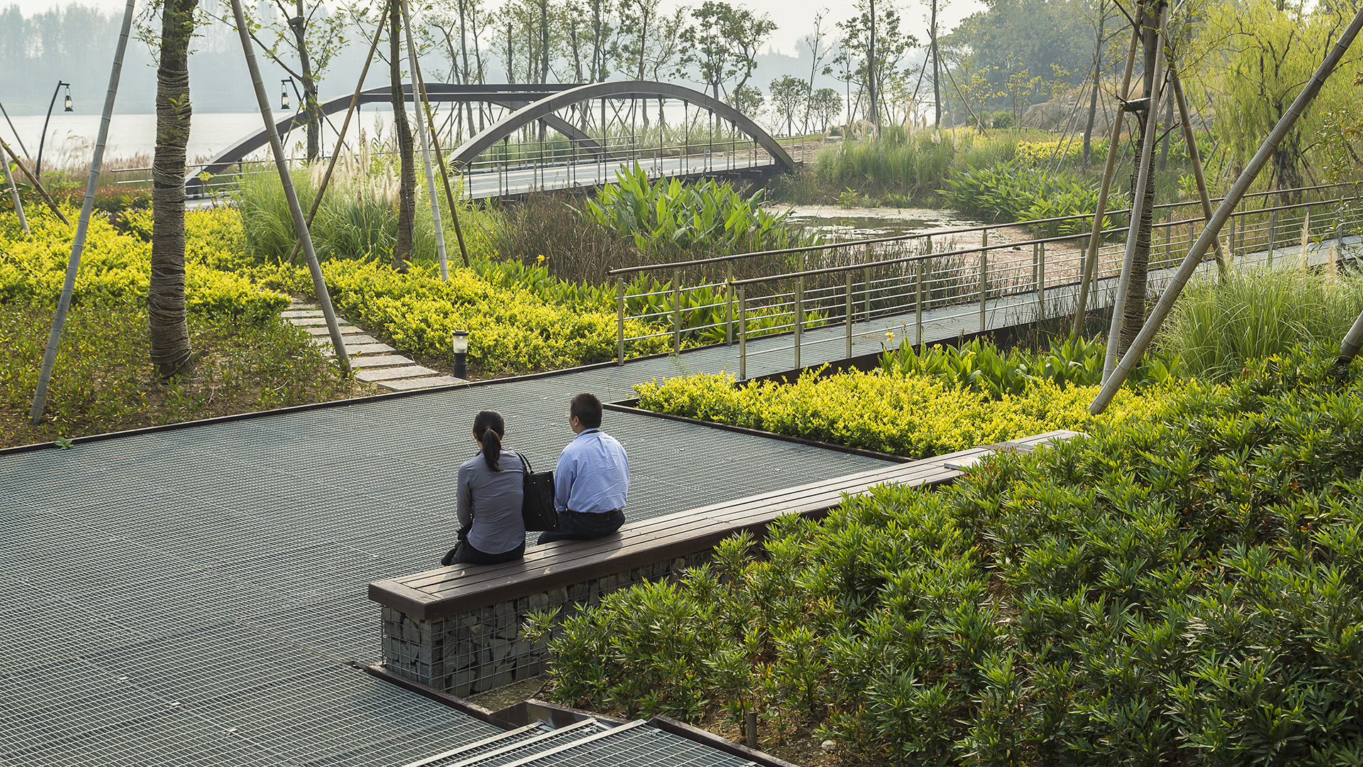
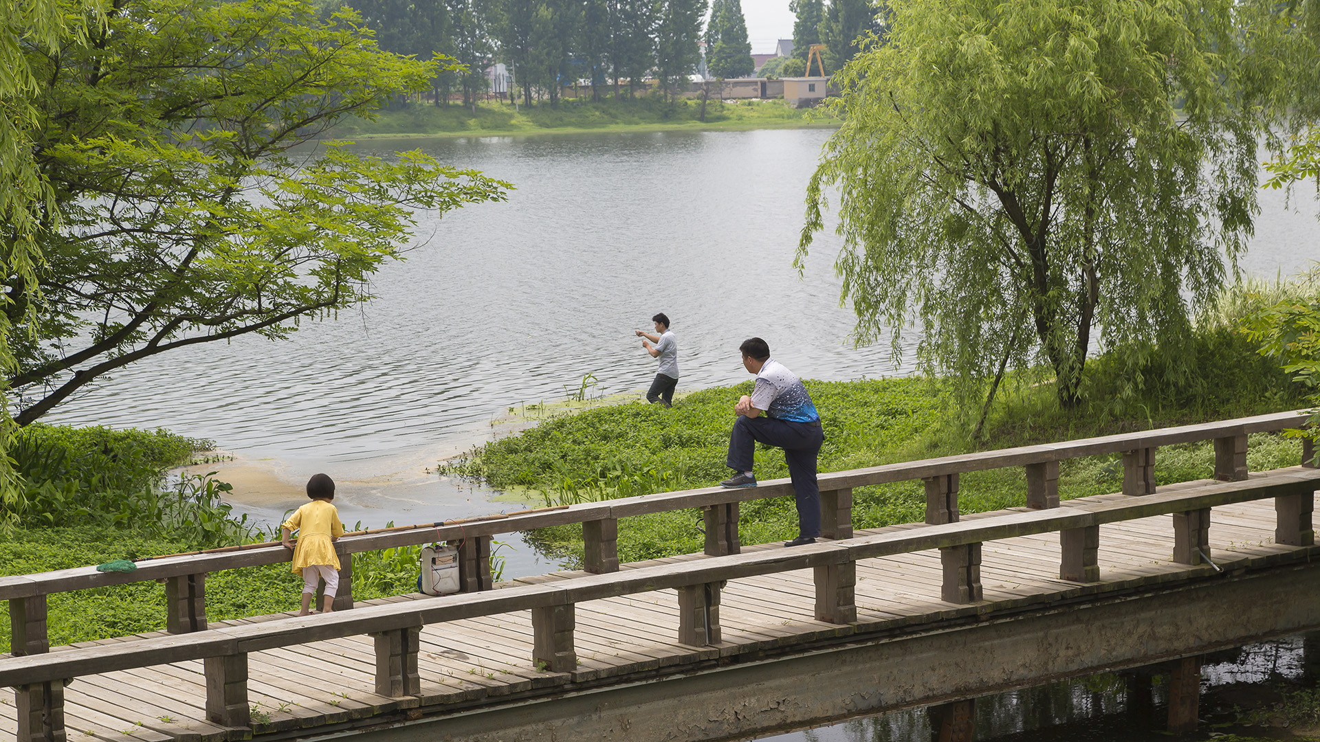
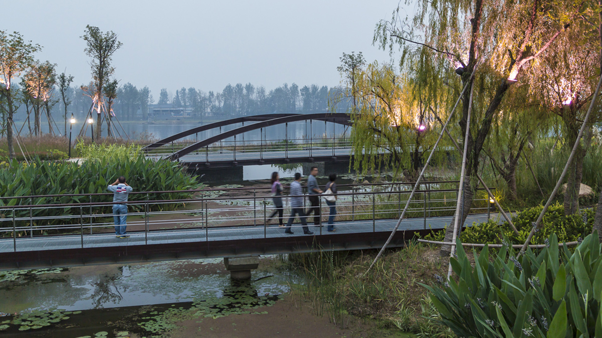
Seizing the area’s reputation for “one of the best mountain and water views in the world,” the natural framework along both sides of the Fuchun River inspires this plan integrating urban spaces with landscape to create a harmonious skyline. Fuyang flourishes with economic prosperity while honoring its vibrant cultural heritage.
The scope includes urban districts along both sides of Fuchun River. This newly modern city has experienced a significant transformation accompanied by rapid commercial and economic development. The famous painting by local artist, Huang Gongwang, “Mountain Life in Fuchun,” displays rolling mountains, verdant forests, rippling river, and spring clouds over the island, as well as the poetic layout of villages within this mountain/water landscape. Using it as inspiration, we derived four mountain/water development principles to control the height, density, and location of urban development as well as to develop preservation and utilization strategies for landscape resources.
Curtis Hixon Waterfront Park
Curtis Hixon Waterfront Park has been heralded as Tampa’s missing “here” and the crown jewel in the city’s Riverwalk, a bold urban plan conceived to reactivate the Hillsboro River and downtown Tampa. The master plan sets the park as the district’s focal point, positioning the Riverwalk, museums, and park buildings to the park and the waterfront. The plan...
Kaohsiung Waterfront Renovation
SWA, in association with Morphosis Architecture and CHNW, developed a vision for the future of Kaohsiung Harbor Wharfs, which includes 114 hectares of prime waterfront property formerly used for cargo shipping. The site, located in the shipping heart of Kaohsiung, Taiwan, was historically subjected to environmental neglect and rampant uncontrolled development....
Hangzhou Hubin
West Lake in Hangzhou, China, one of the world’s most romantic places and as familiar an icon as the Great Wall or the Forbidden City, has been designated by the United Nations as one of the World Cultural Heritage Sites. Seven hundred years later, the city that served ancient emperors as a capitol boasts a population of over three million and is still a...
San Diego Embarcadero
The redevelopment plan for the waterfront and port facilities adjacent to downtown San Diego included translating community and economic requirements into a specific planning program. Emphasis was placed on urban design, circulation and parking, landscaping, environmental planning, and engineering considerations with a set of comprehensive implementation guide...