

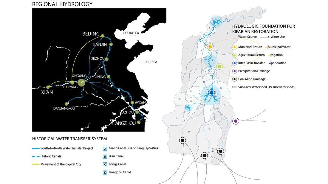
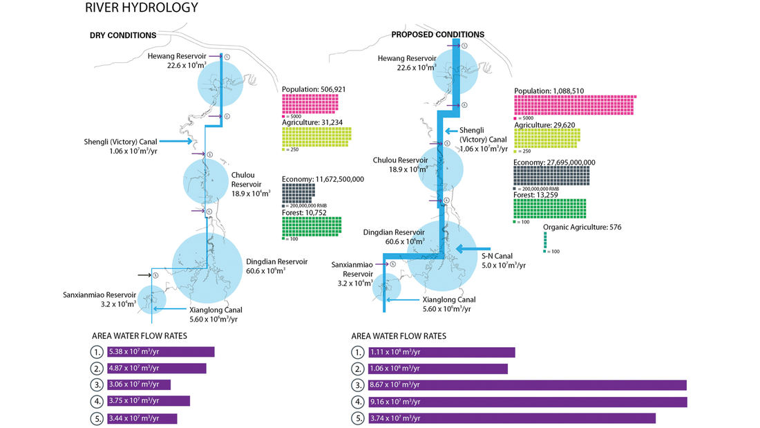
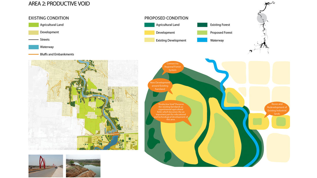
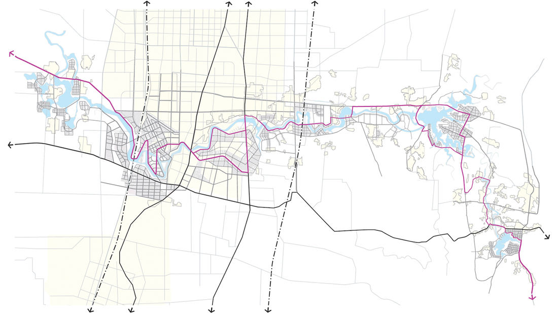
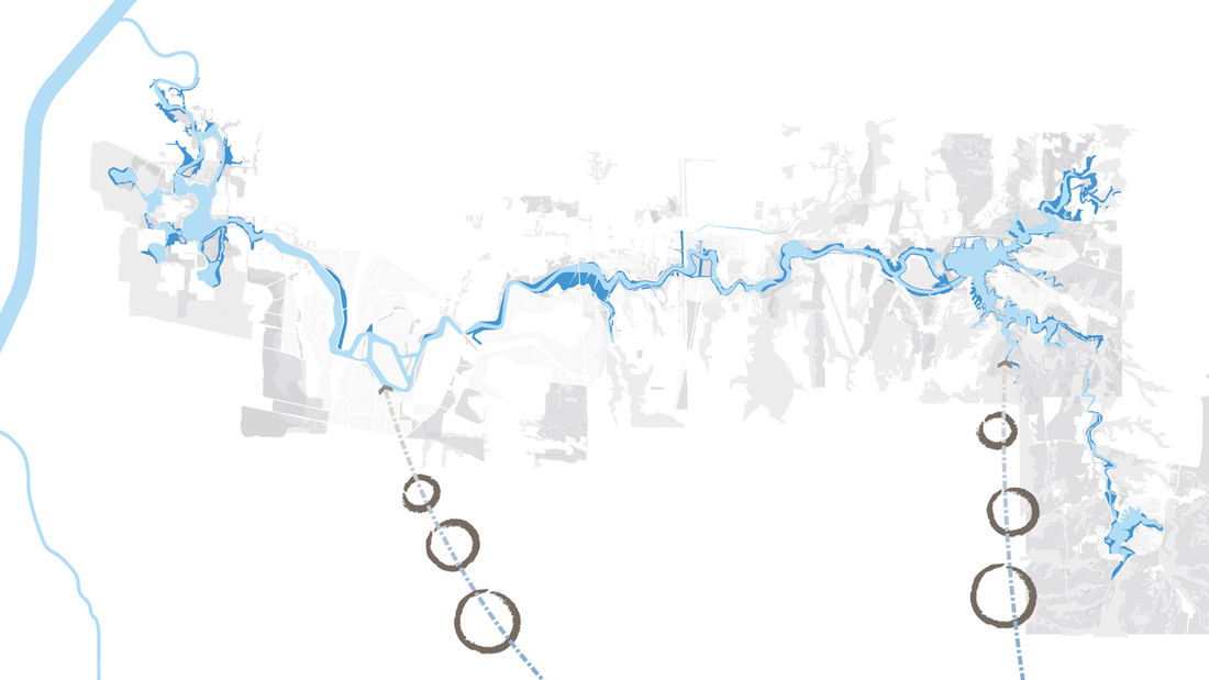
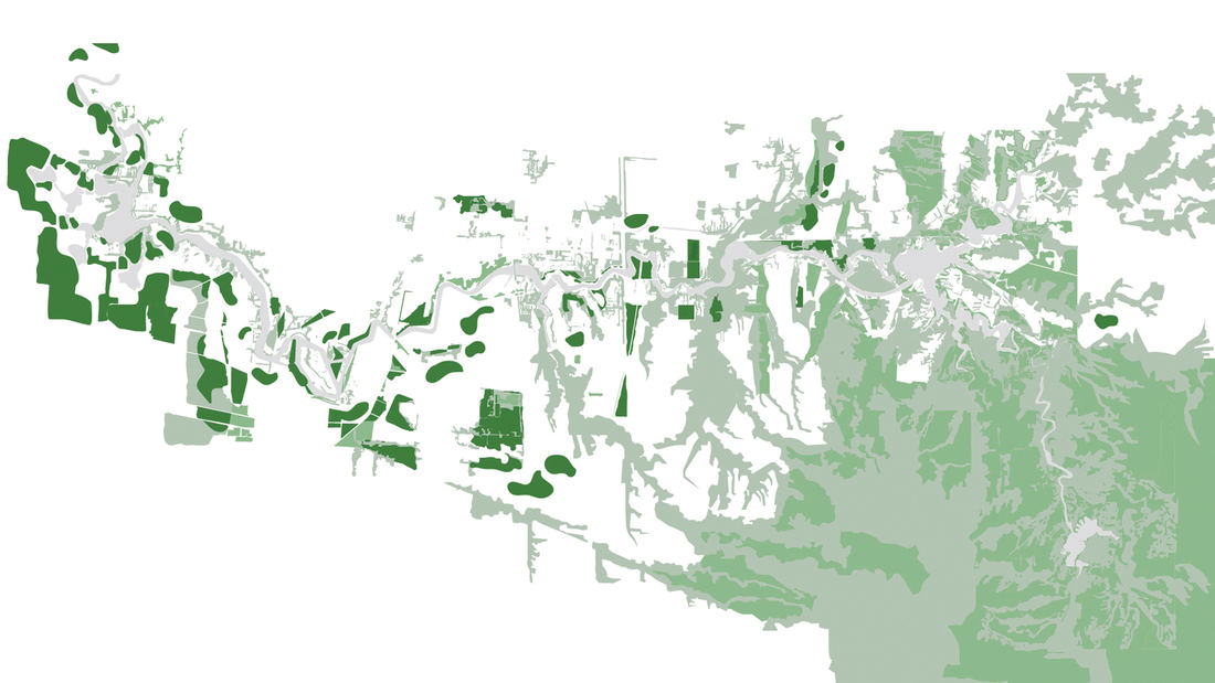
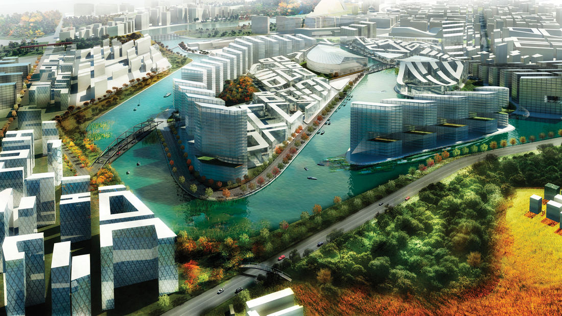
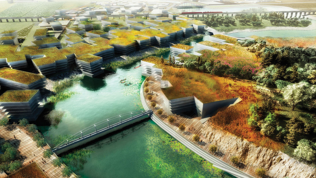
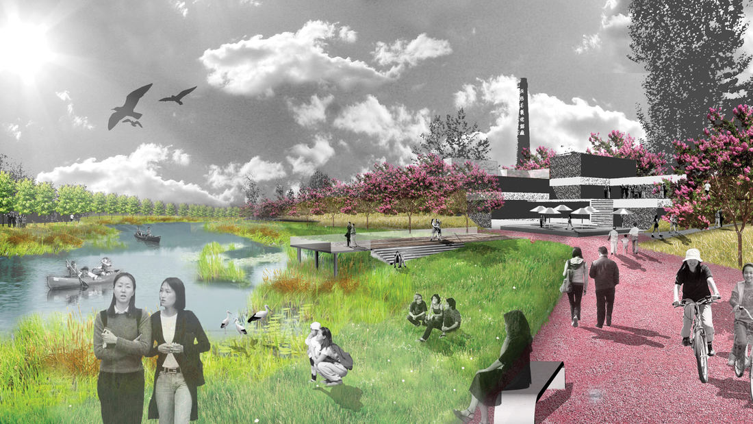
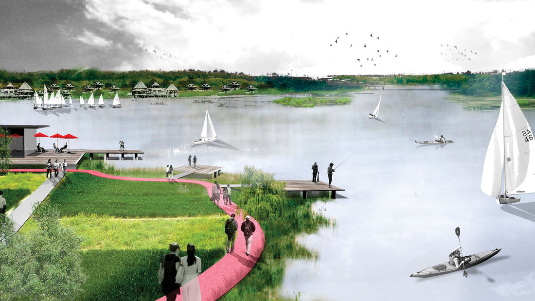
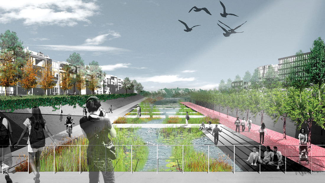
SWA recently completed a master plan for a 36 km length of the Xingyang Suo River located in Xinyang, China. Located on a site at the confluence of an elaborate network of waterways, the River has served as a transportation system for the movement of goods, services and people between Xingyang, Beijing and the coastal cities to the Southeast. This has transformed the River to be physically and ecologically compromised. The Xingyang Suo River has become a series of water holding basins engineered to hold water for municipal and commercial purposes. SWA’s master plan explores viable ecological and developmental opportunities along the river corridor. The plan’s approach aims to structure a natural system that can sustain an authentic ecological system while creating a framework for distinct development patterns. The design concept uses ‘big nature’ as its guiding principle and is based on an authentic understanding of how natural systems have operated and continue to work at a scale much larger than most urban cities. Within the concept, ‘big’ describes the mechanism for the integration of robust contiguous systems such as engineered hydrologic flows, pedestrian trails, recreation systems, and transit, while ‘nature’ incorporates a new ecological approach founded on the principles of natural landscapes. SWA’s design concept addresses an entire watershed, provides innovative solutions to balance natural resources while creating opportunities for development, tourism, recreation, and healthy living.
Dubai Creek Harbor
Dubai Creek Harbor is a progressive and innovative new neighborhood that aims to respond to environmental concerns with professional, best-practice measures that will ensure an environment that is healthy, accessible, and environmentally responsible.
The storied history, culture, and nature of Dubai Creek serves as the inspiration for the design of Duba...
Kaohsiung Waterfront Renovation
SWA, in association with Morphosis Architecture and CHNW, developed a vision for the future of Kaohsiung Harbor Wharfs, which includes 114 hectares of prime waterfront property formerly used for cargo shipping. The site, located in the shipping heart of Kaohsiung, Taiwan, was historically subjected to environmental neglect and rampant uncontrolled development....
South Waterfront Greenway
A bold new plan for the area along the Willamette River includes a 1-1/2 mile extension of the City’s downtown’s parks and the reclamation of the river’s edge for public recreation. Working closely with the City of Portland, developers, and natural resource advocates, the design team devised a rational plan that places access and activity in targeted nodes wit...
Suzhou Center
The Suzhou Center is a landmark urban space within the Suzhou Central Business District that embodies the spirit of the city of Suzhou as a gateway for intersecting old and new cultural and historic heritage. The successful combination of high-density development and ecological conservation will allow for Suzhou to transition to a garden city where state-of-th...