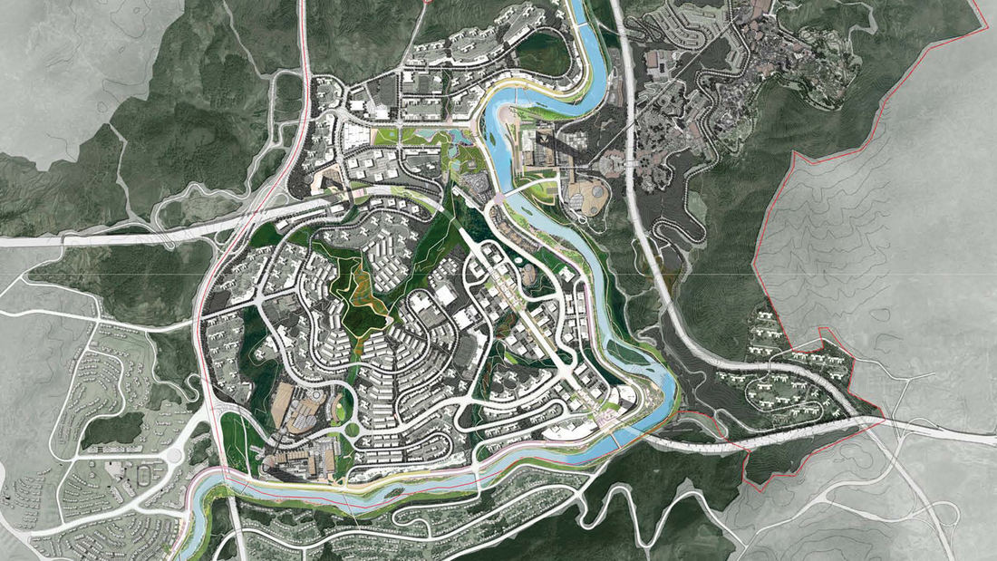
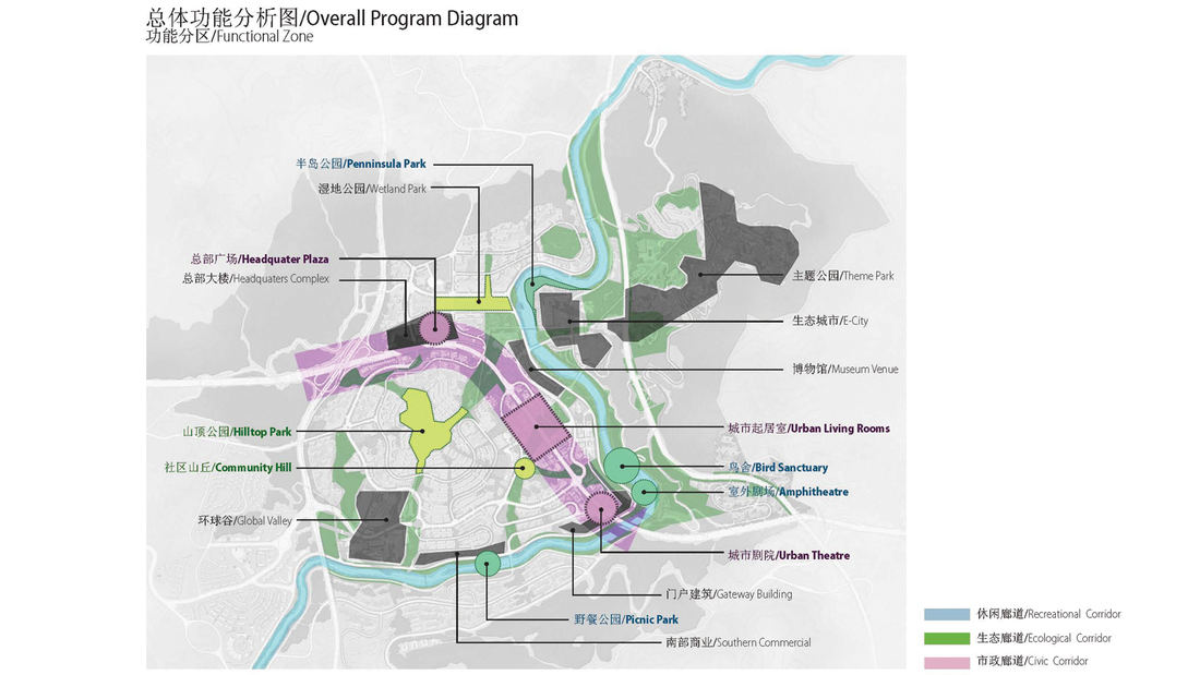
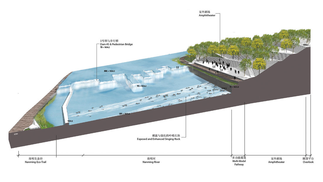
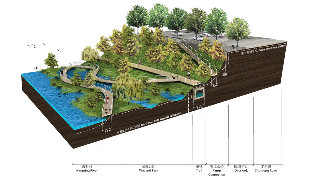
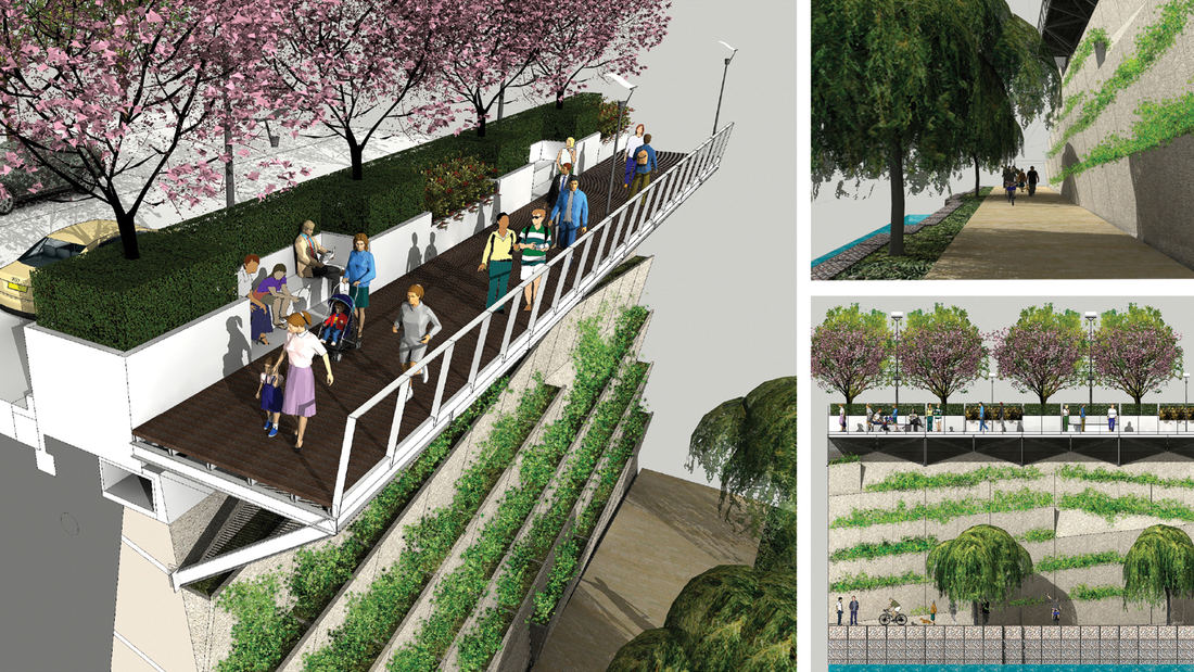
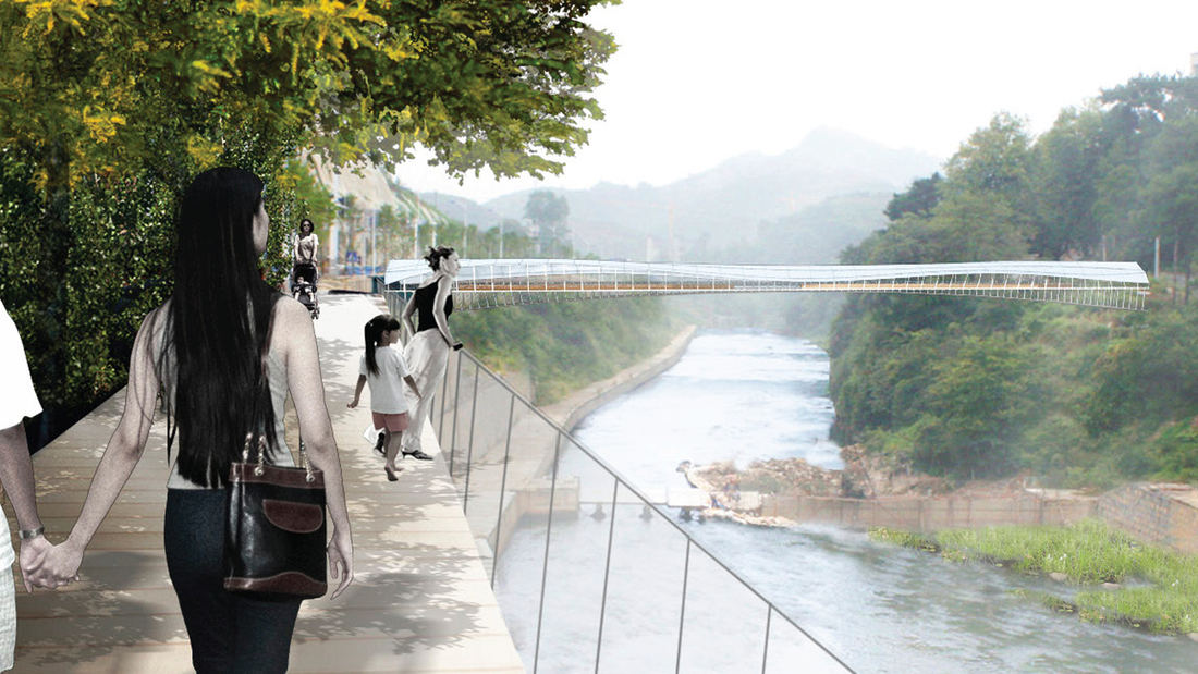
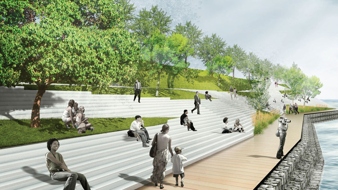
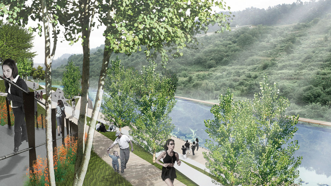
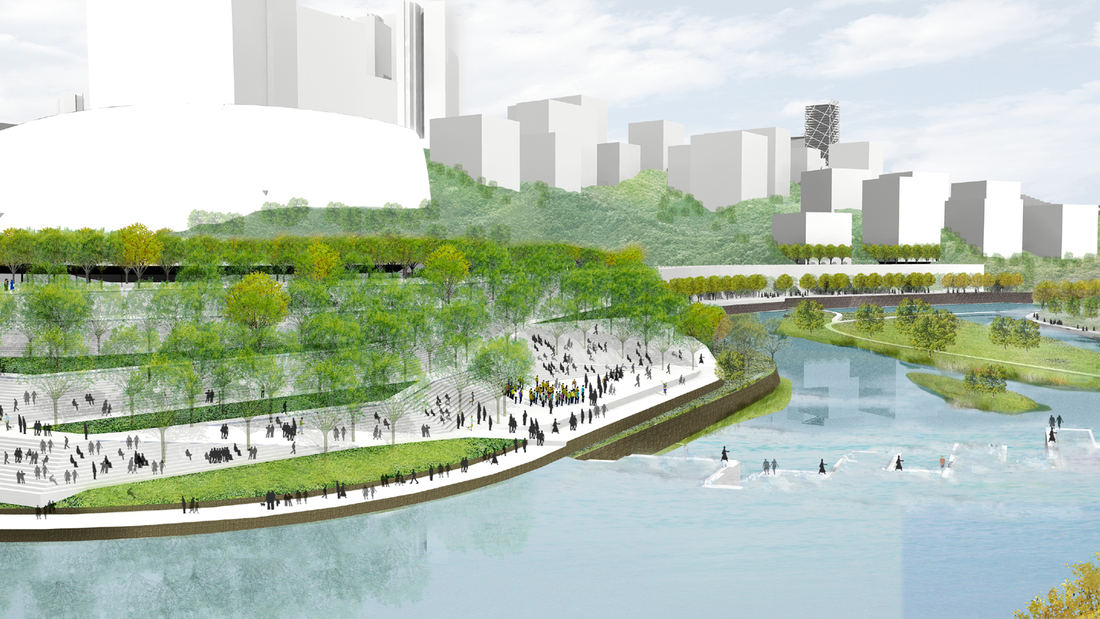
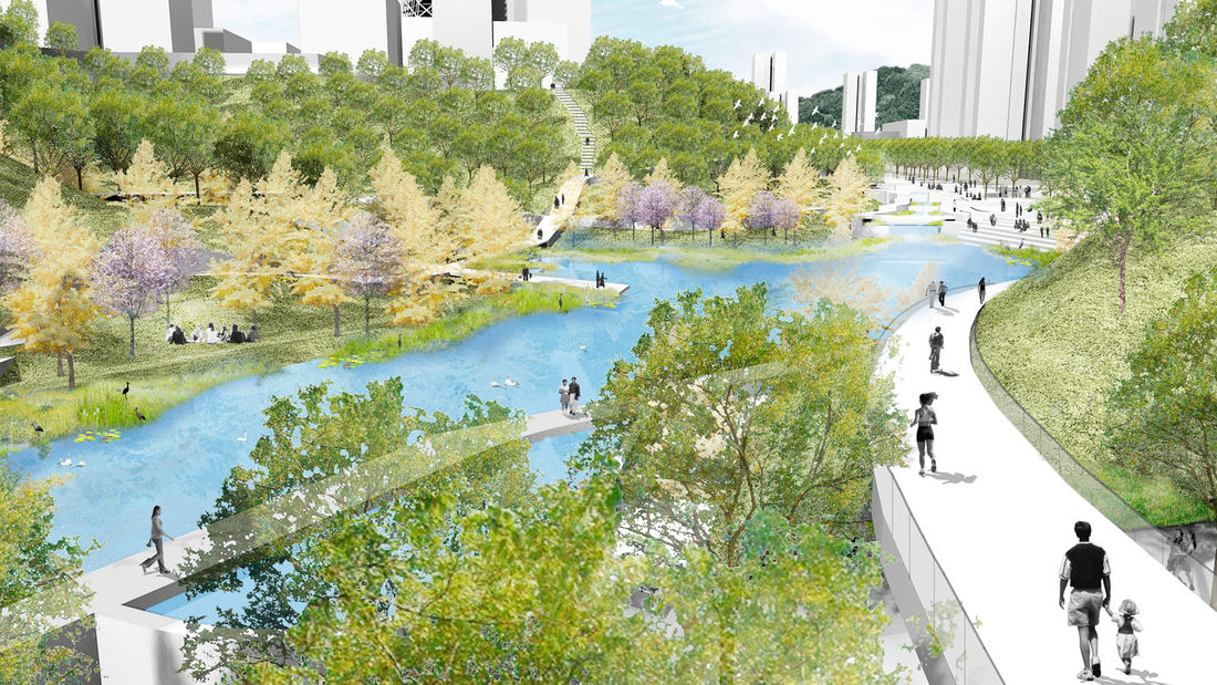
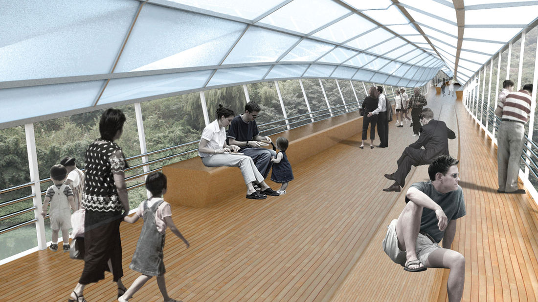
Guiyang Hot Springs, located in Guiyang City, China, brings together the rhythm of the Nanming River, and surrounding trails and trees to create a new urban ‘living room’ in the interstitial space created by new development and roadway infrastructure. Nestled into a mountainous site, the master planning addressed elevation changes of up to 100 meters and the existing relationship of its topography and watersheds connected with the river. The vision incorporated a strategy to preserve ecological corridors while allowing for future development and tourism. The Phase 1 design uses the natural landscape framework and pathways along the river valley to guide a new circulation artery and community parks, emulating the concept of a flowering river. Linear terraces for green corridors reveal expansive views, while harboring varying habitats and facilitating ecological growth without extensive intervention. The subtle manipulation of the land creates seasonal creeks which change dynamically and reinforce the ecological and environmental habitat. The circulation network is accessible to pedestrians, bicycles, cars and boats, forming a major transportation system along the ten-mile river. Based on the rhythms of movement, water and trees, the design for Guiyang Hot Springs provides a natural respite within an urban environment that gives a corridor of community space to the people of Guiyang.
Main Street Garden Park
A key component in the downtown revitalization strategy, Main Street Garden Park required razing two city blocks of buildings and garages to make way for its transformation into a vibrant public space teeming with civic life. This two-acre park fosters downtown residential and commercial growth and was designed to accommodate the needs of residents in adjacent...
Palisades Park
Santa Monica’s famous pier area draws visitors who often disregard pavement boundaries and compact the landscape soil. Palisades Park, adjacent to the iconic pier, is a particularly active site for cyclists and tourists that has long been in need of a planting strategy to discourage pedestrian overflow into the landscape. SWA’s defensive planting strategy tack...
Stanford University Terman Park
The removal of an existing building adjacent to the center of Stanford’s campus provided a unique opportunity to fashion an interim park space. The project emphasizes reuse and seeks to utilize salvaged materials as well as the existing grading and fountain as key features of the park. As a multifunctional performance and recreational space, the project ...
Thousand Lantern Lake Park System
Nanhai Citizen’s Plaza and Thousand Lantern Lake Park exemplifies the exciting and innovative opportunities for master planning and urban design in new international communities. The site is located in the newly established city of Nanhai, and consists of a commercial precinct, public parks, and civic buildings arranged around a series of lakes and waterways. ...


