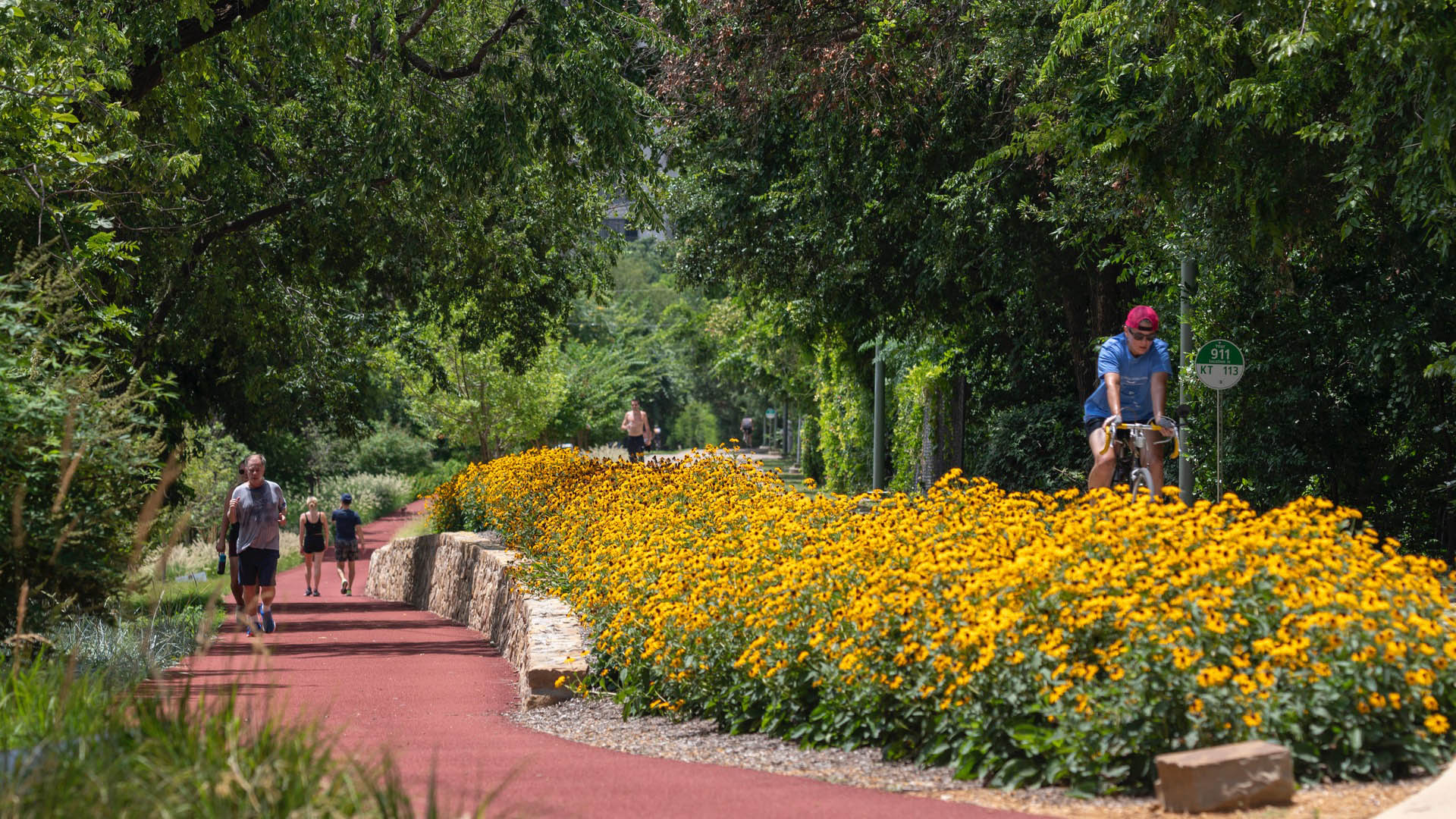
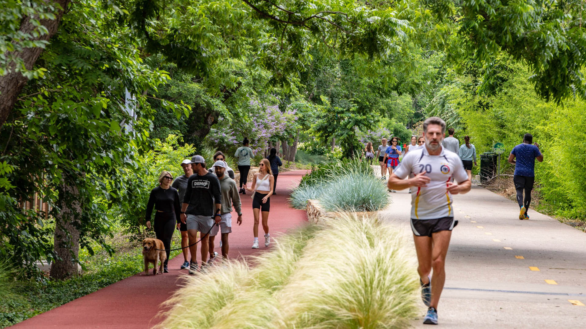
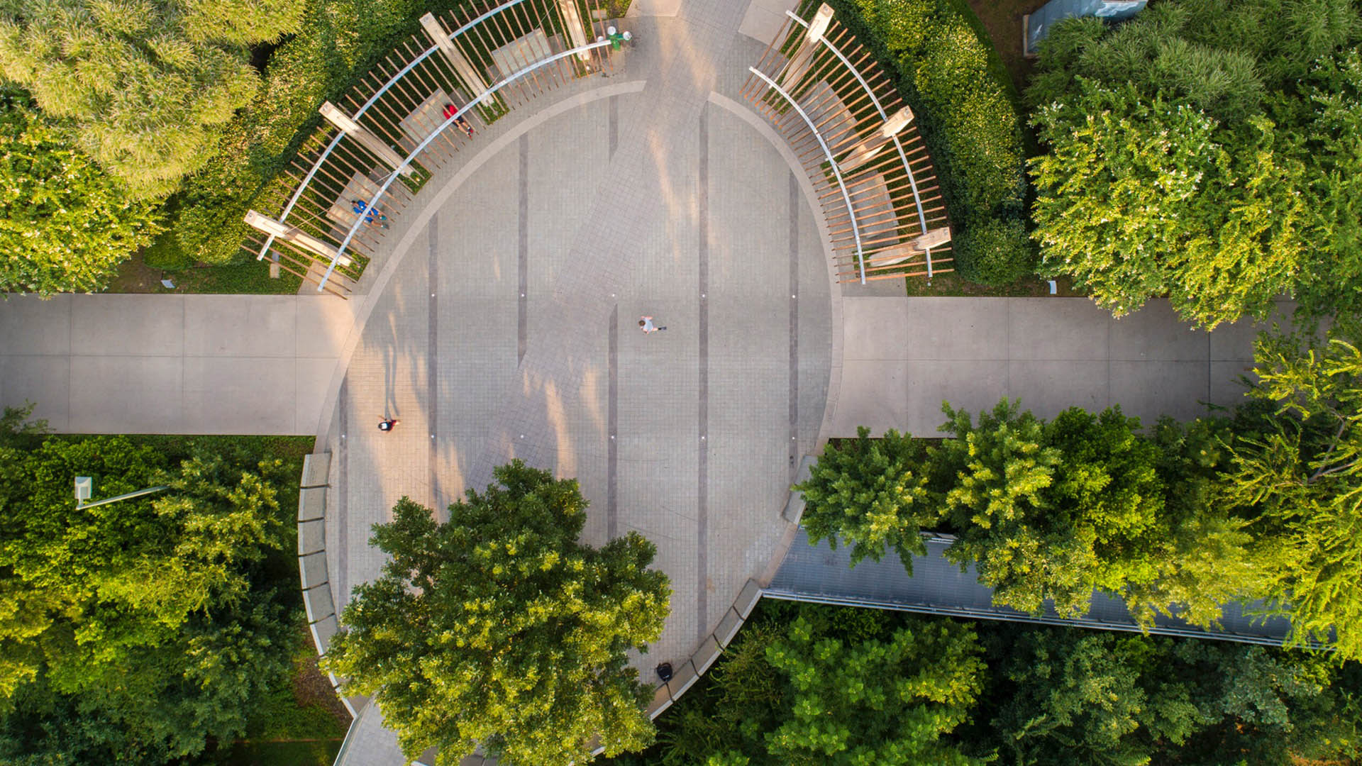
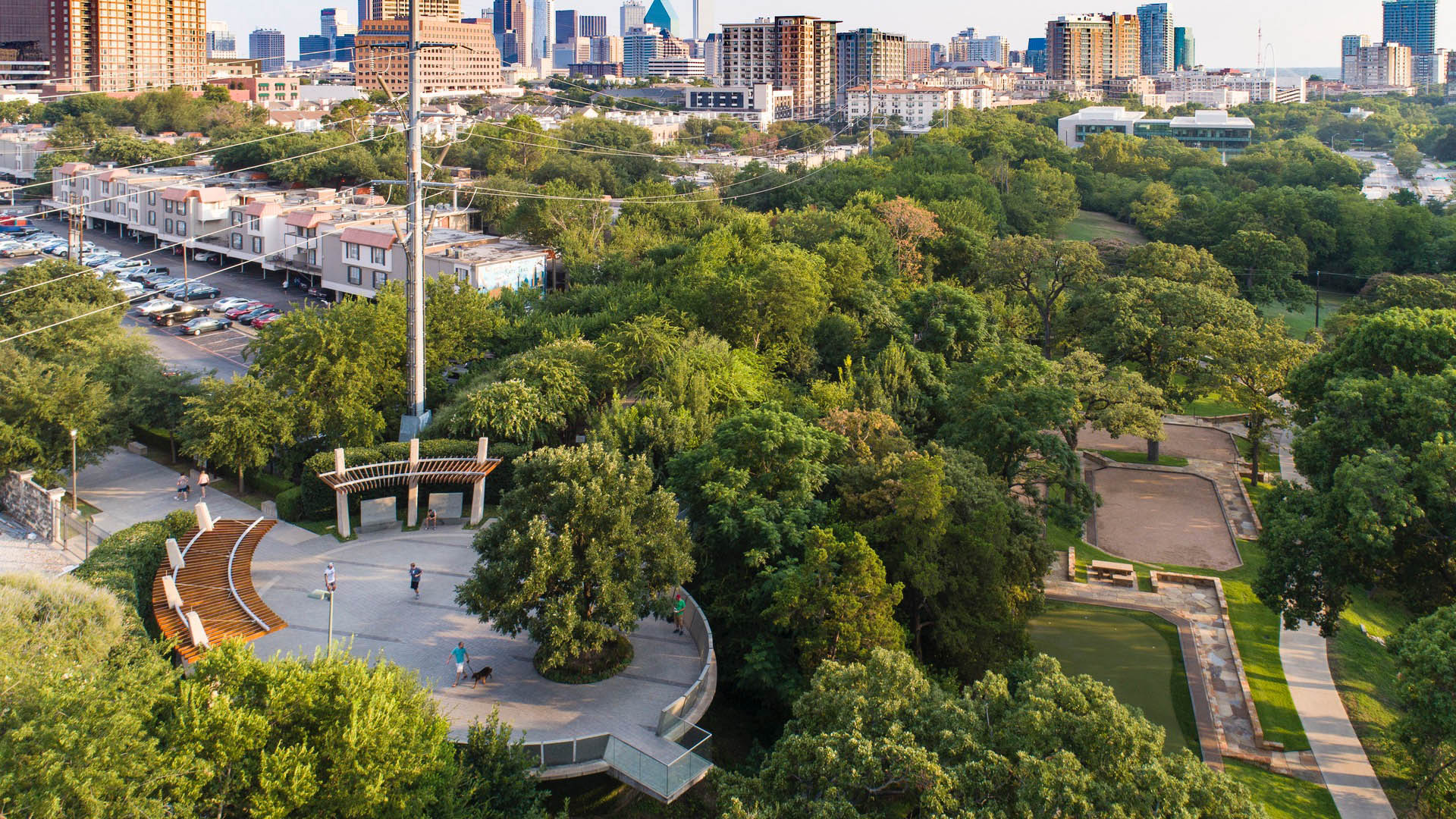
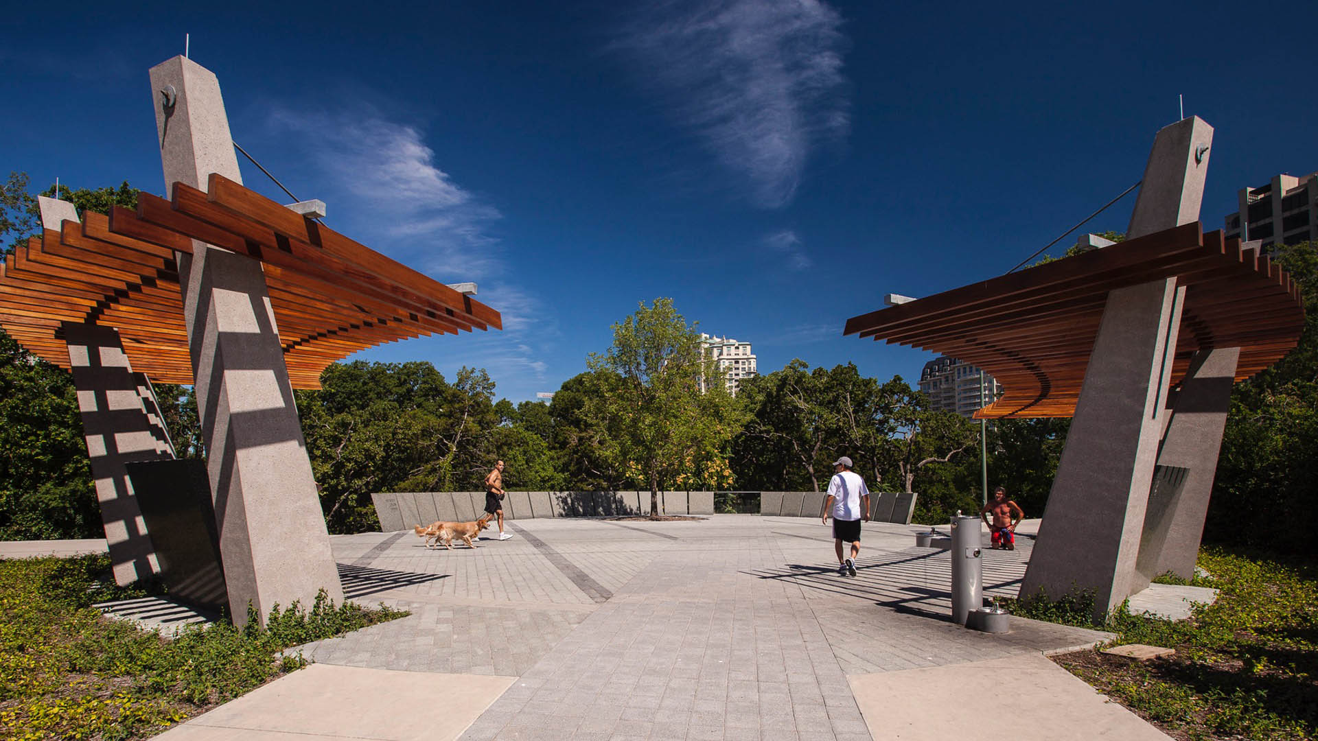
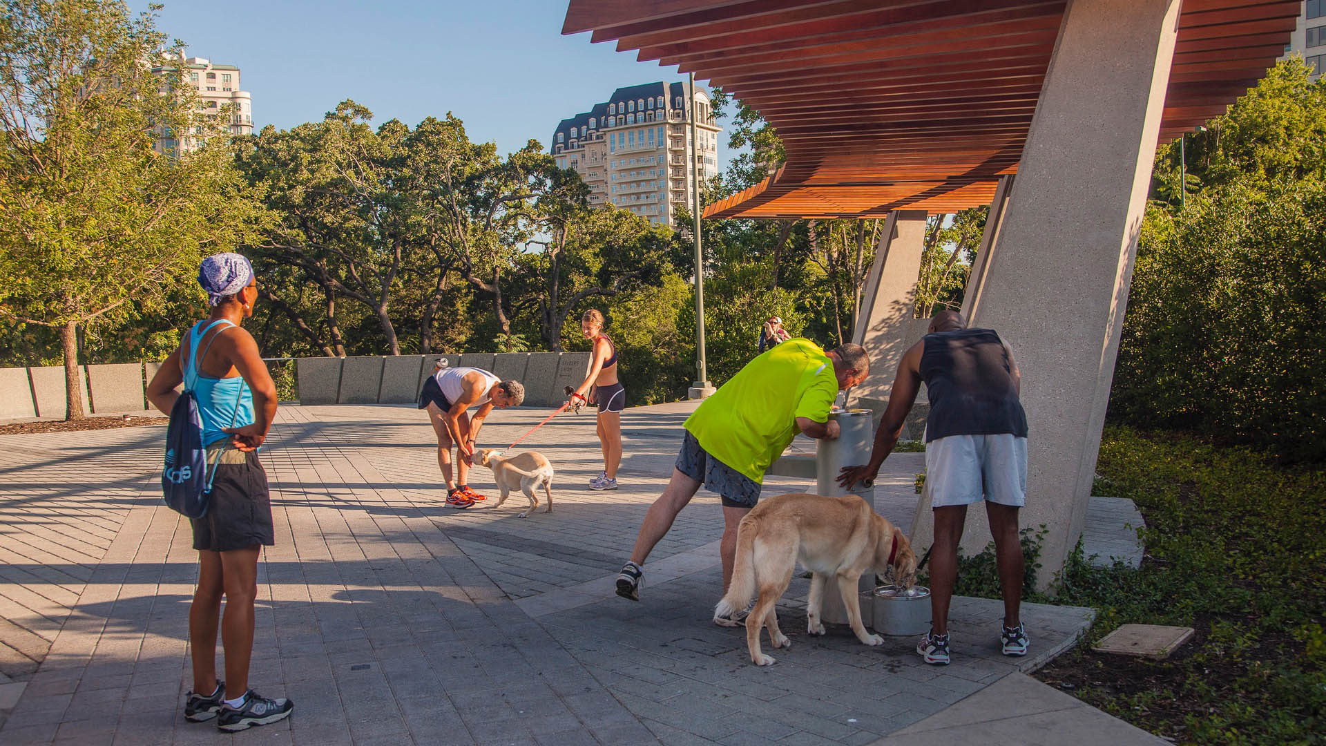
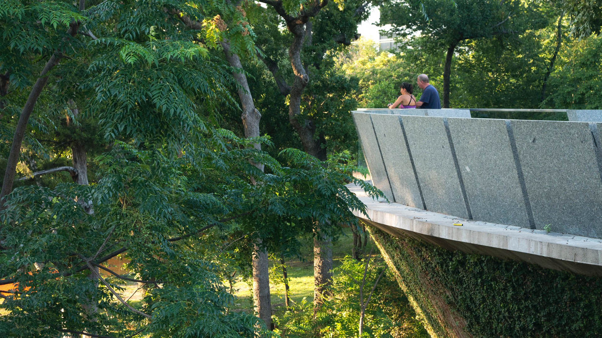
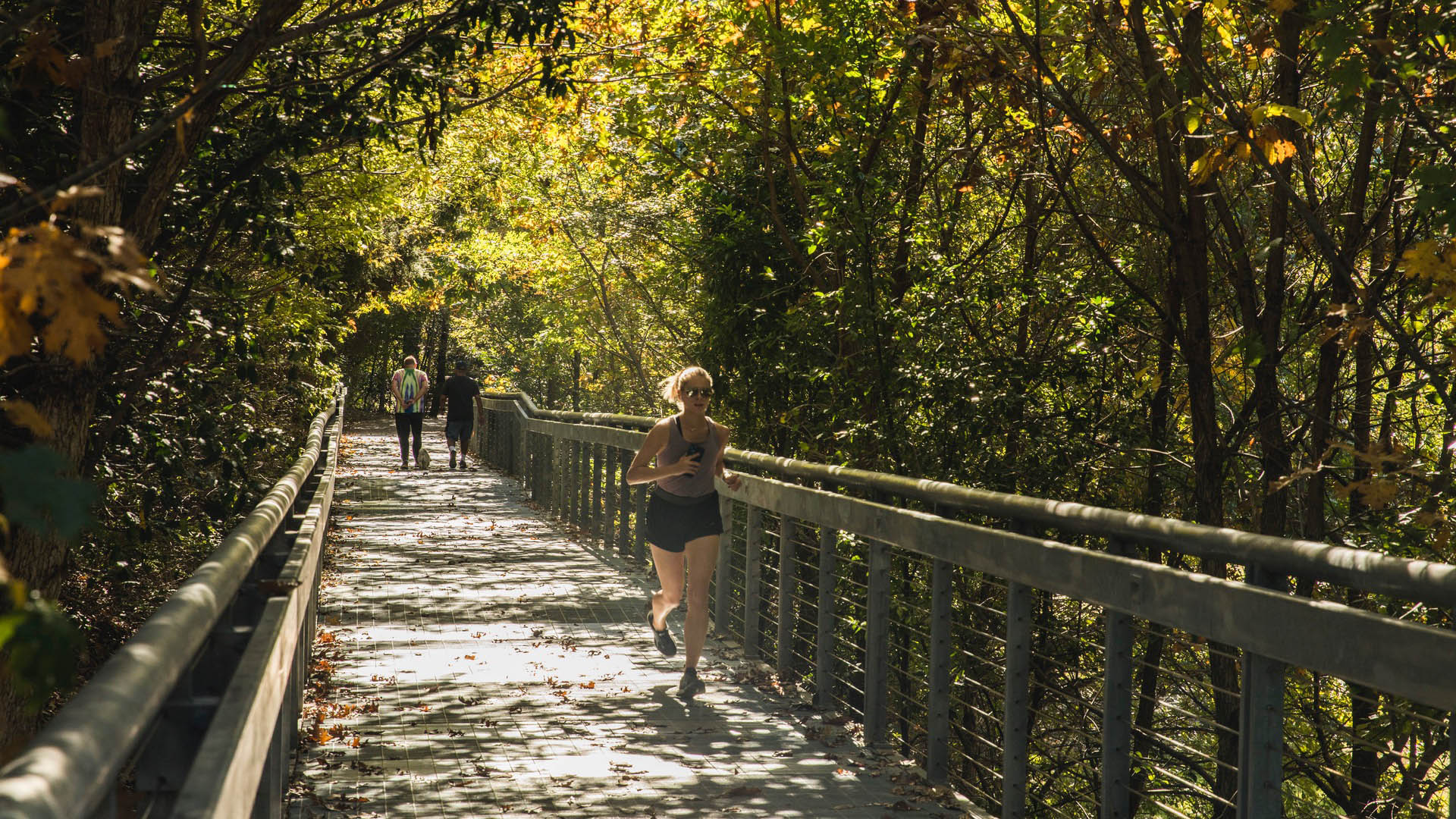
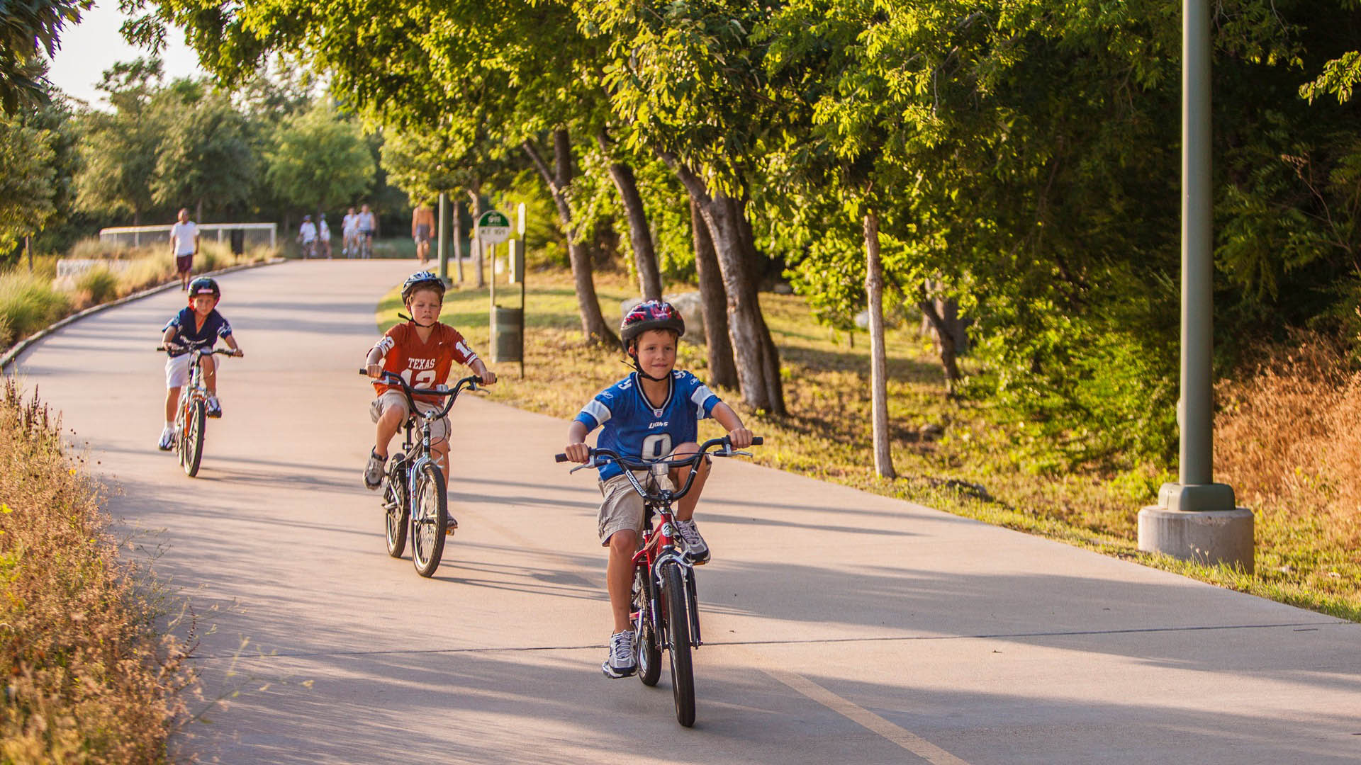
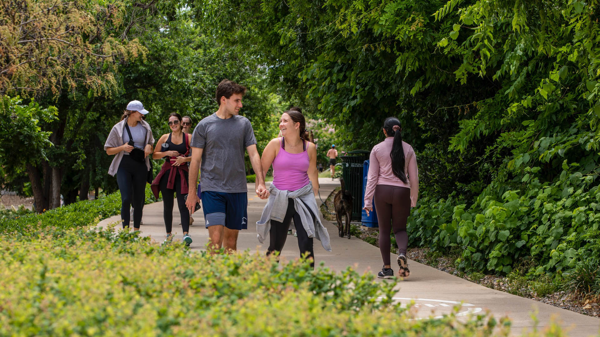
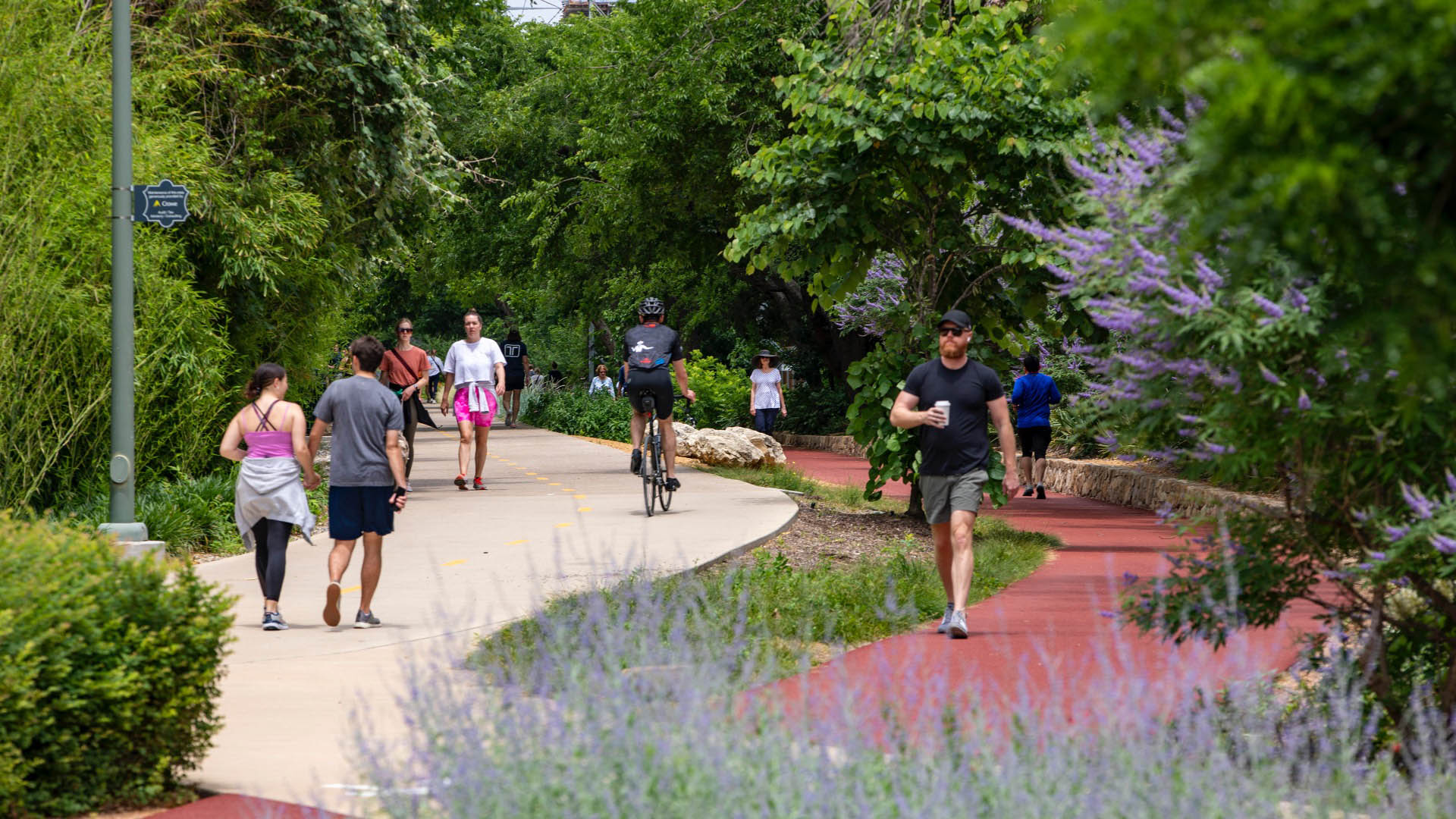
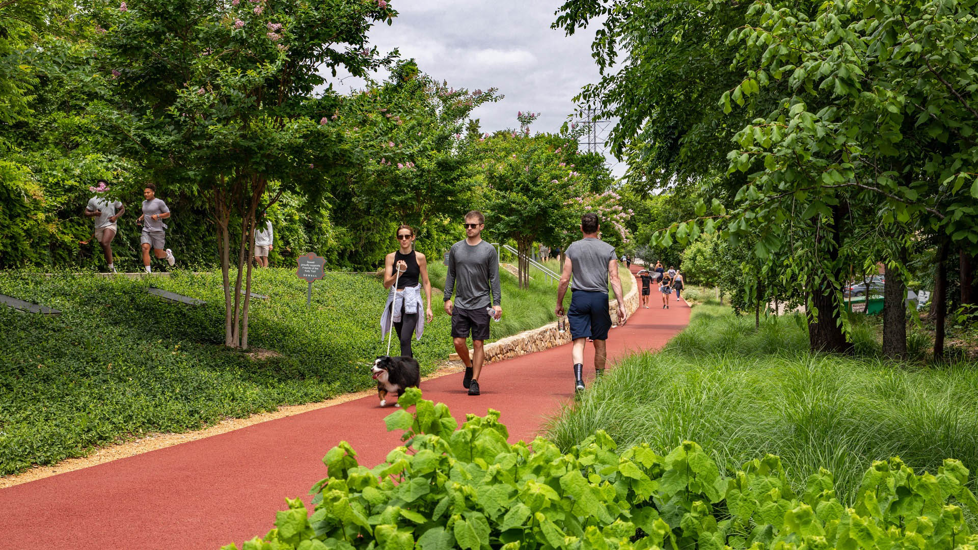
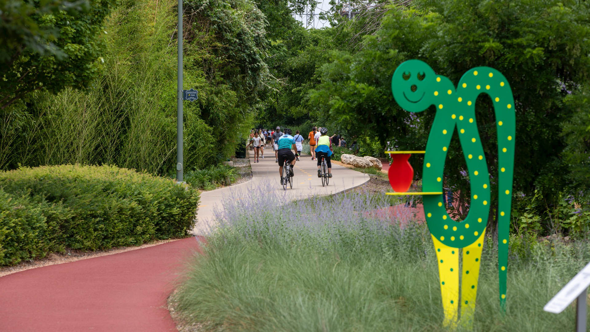
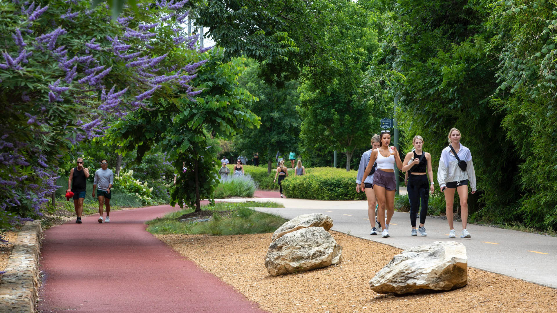
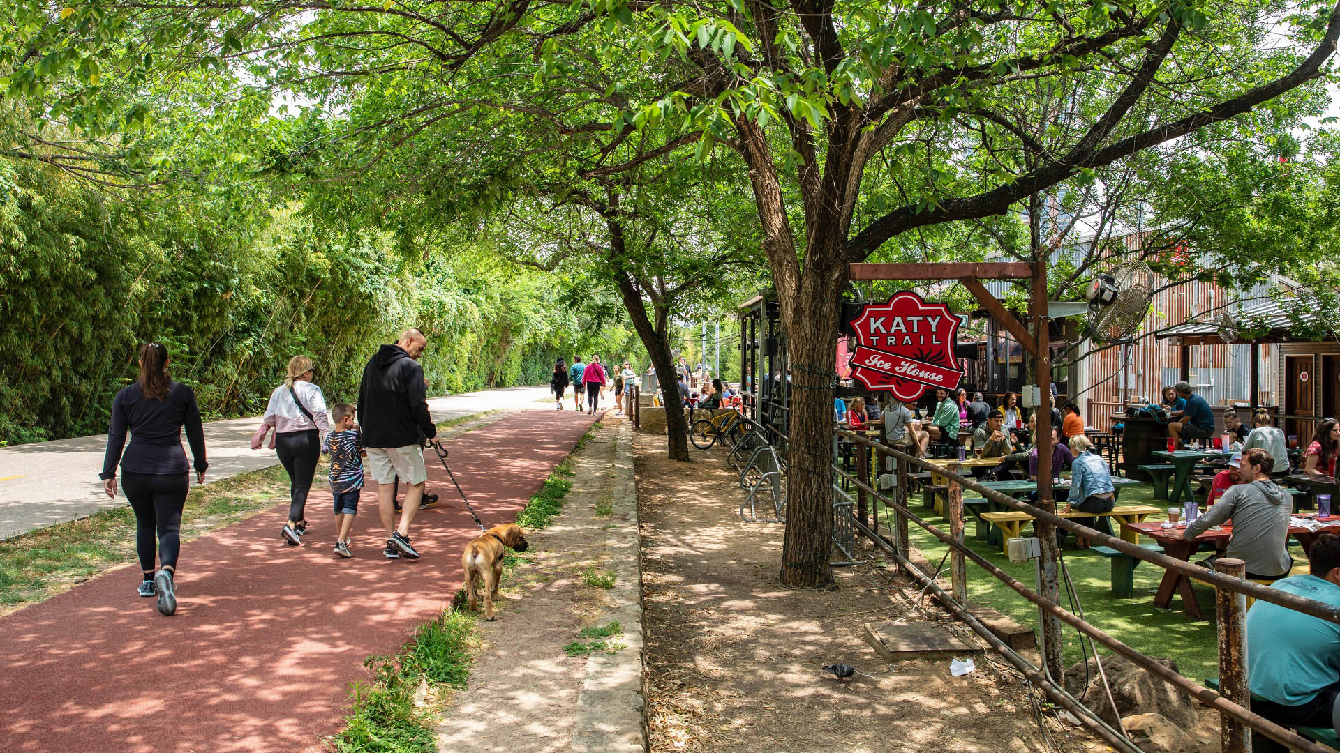
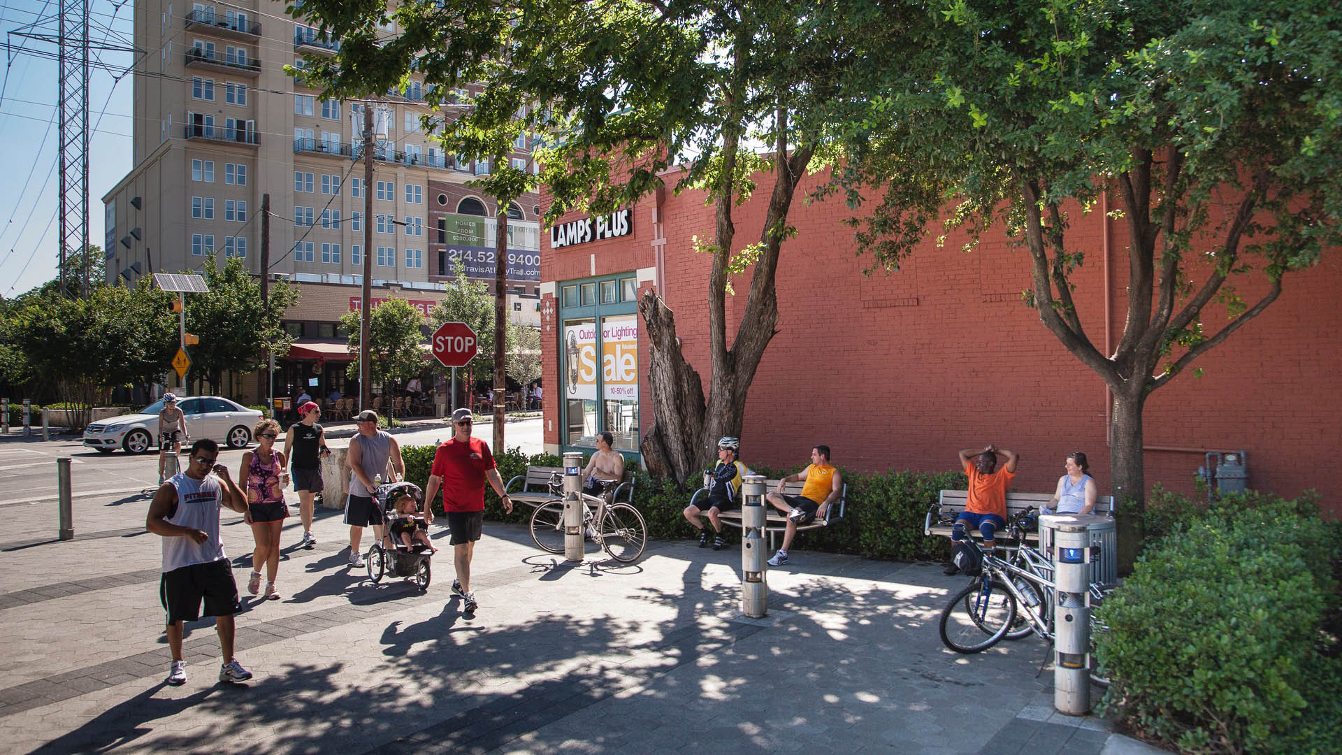
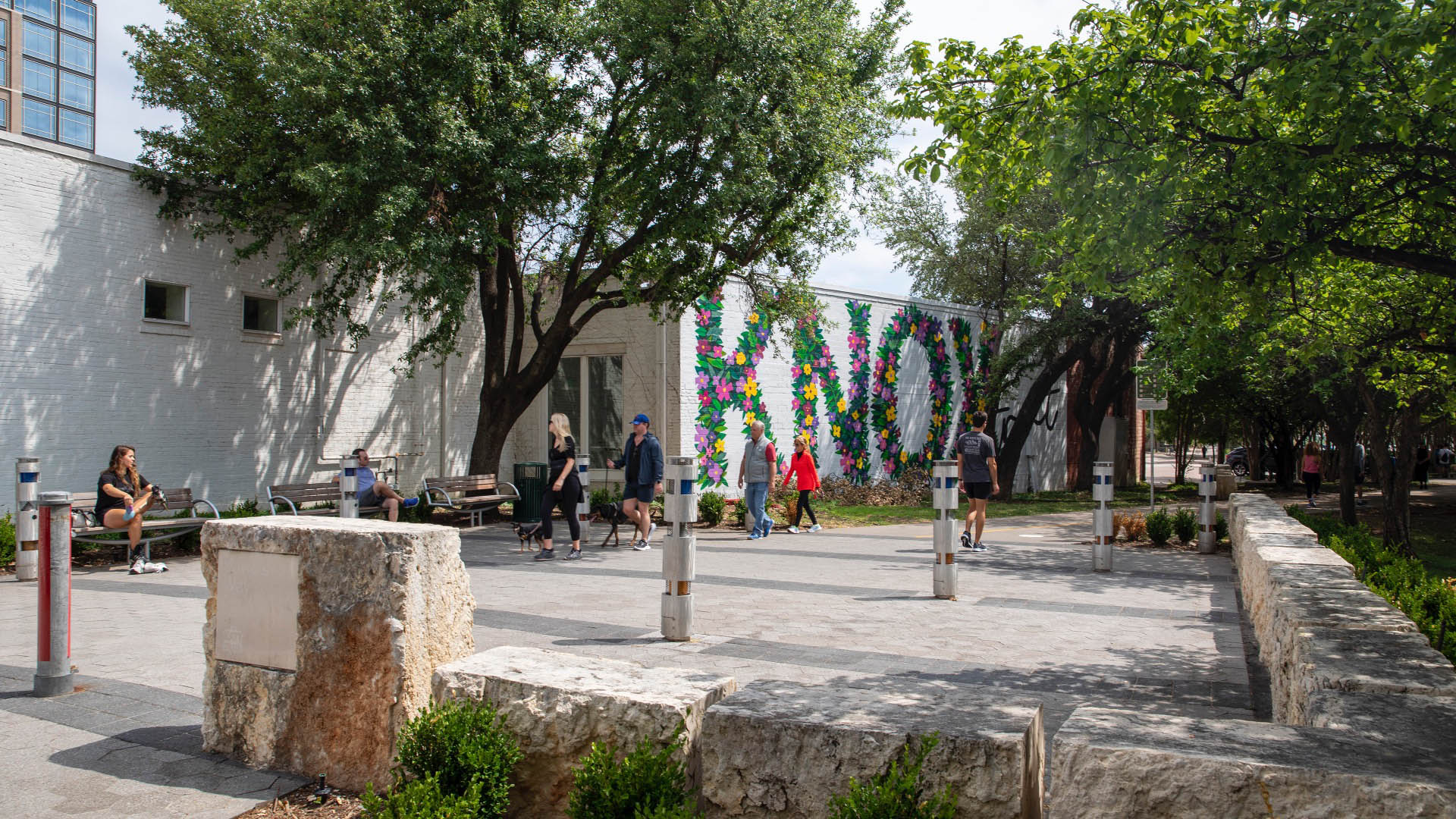
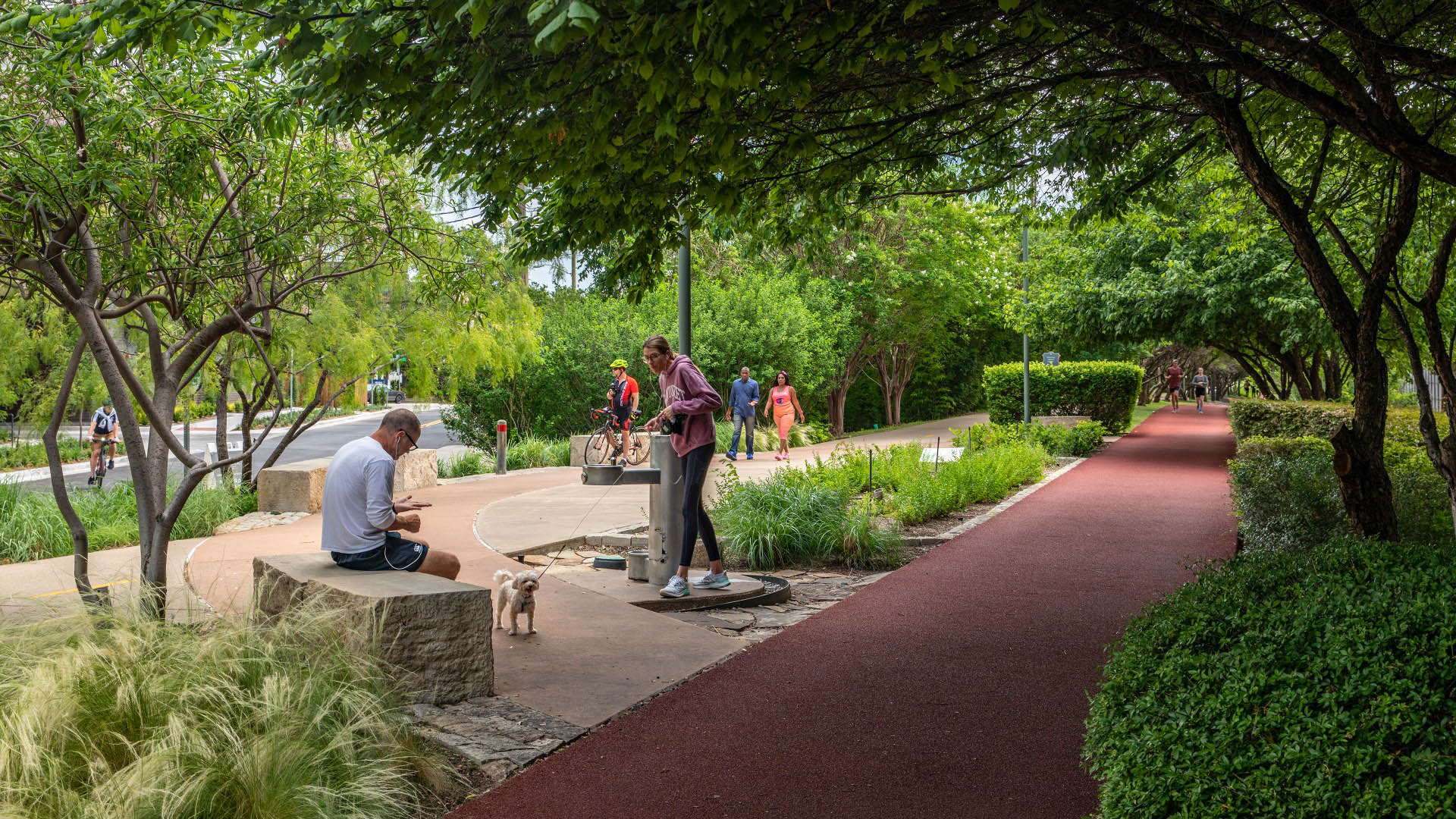
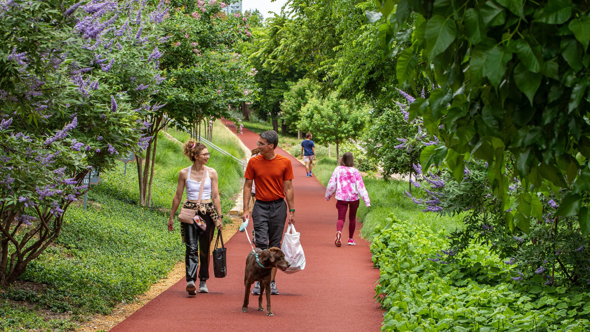
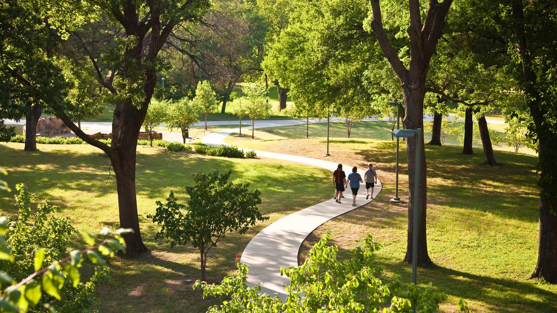
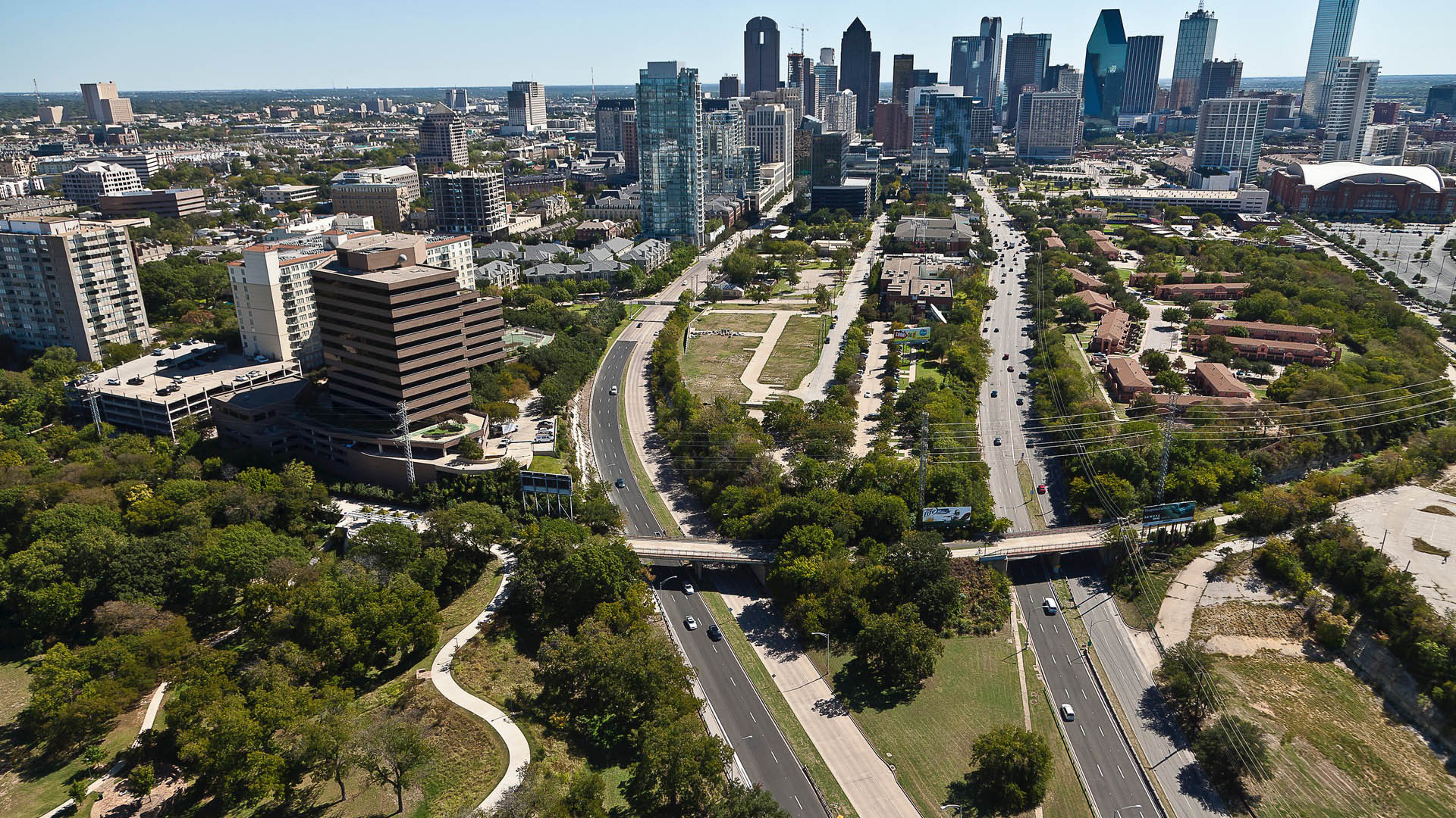
Katy Trail represents a remarkable resource for the residents of the Dallas Fort Worth region. This project enlivens and makes accessible right-of-way established by the storied, but later abandoned, Missouri-Kansas-Texas (better known as the “Katy”) line, and serves as a unifying element for the surrounding neighborhoods. Katy Trail provides approximately 3.5 miles of intercity bicycle and pedestrian trail, resulting in a transportation and recreational corridor for jogging, passive nature interpretation and walking. The trail links approximately 20 neighborhood areas to the Central Business District, the American Airlines Center and Southern Methodist University. Active integration of legacy establishments and involvement with the neighboring communities were part of an ongoing process that enhanced the project’s success.
San Jacinto Plaza
SWA’s redesign of San Jacinto Plaza, a historic gathering place in El Paso’s downtown business district provides a state-of-the-art urban open space, while protecting and celebrating the history and culture of the site. The project was the result of an intensive community process involving input from a wide range of constituents. Active programming, environmen...
Dubai Expo 2020
From October 2021 to April 2022, the City of Dubai hosted the World Expo: a large-scale International Registered Exhibition that brings nations together with universal themes and immersive experiences. It comprises an entirely new city, built on a 1,083-acre site between Dubai and Abu Dhabi. The Expo site is organized around a central plaza linked to three mai...
China Beach
China Beach acts as an amphitheater to take in the drama of the San Francisco Golden Gate: the ebb and flow of the wildlife, currents, tides, winds, fog, sun, surf, and marine traffic. Ultimately, this larger landscape and the landscape features of a refreshed beach terrace will be the defining experience for the visitor to China Beach. We are striving to prod...
Bend of the River Botanic Garden
The Bend of the River Botanic Garden Master Plan reimagines an 88-acre site in Temple, Texas, into a regional attraction. Situated at the intersection of I-35 and the Leon River, the site comprises two donated parcels, consolidated to serve Temple’s growing population of over 96,000.
SWA led a comprehensive public engagement process, facilitating conver...


